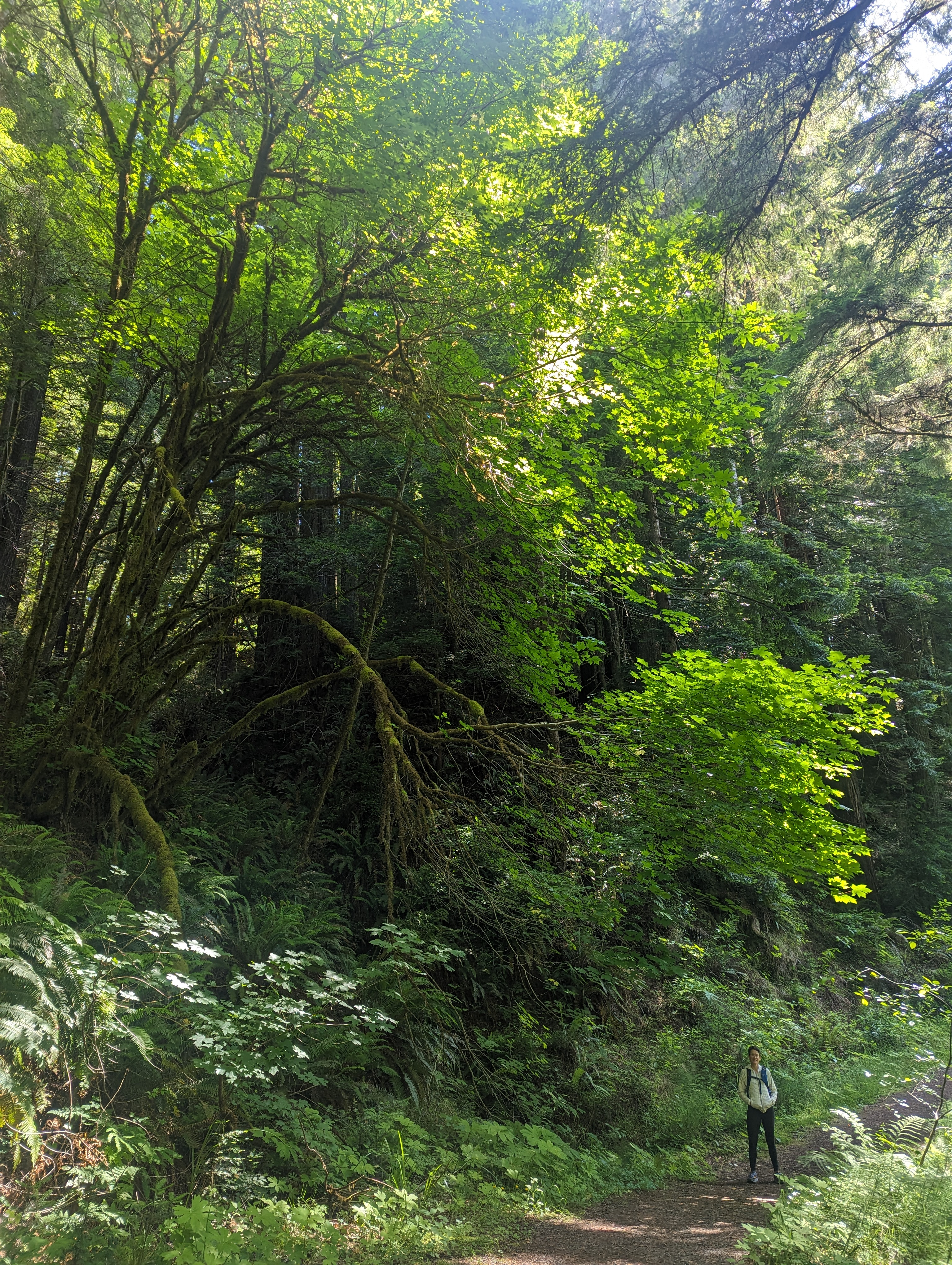
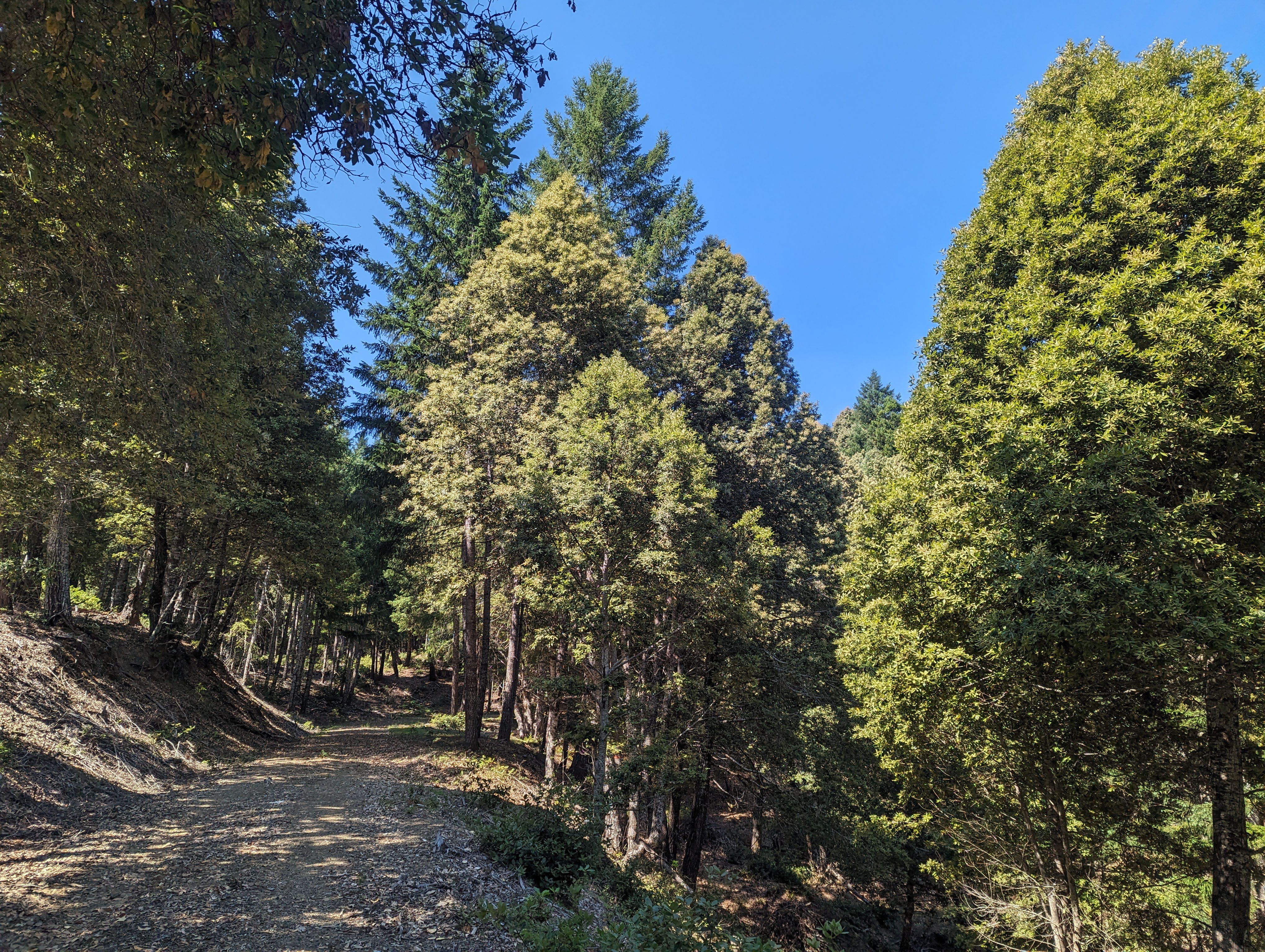
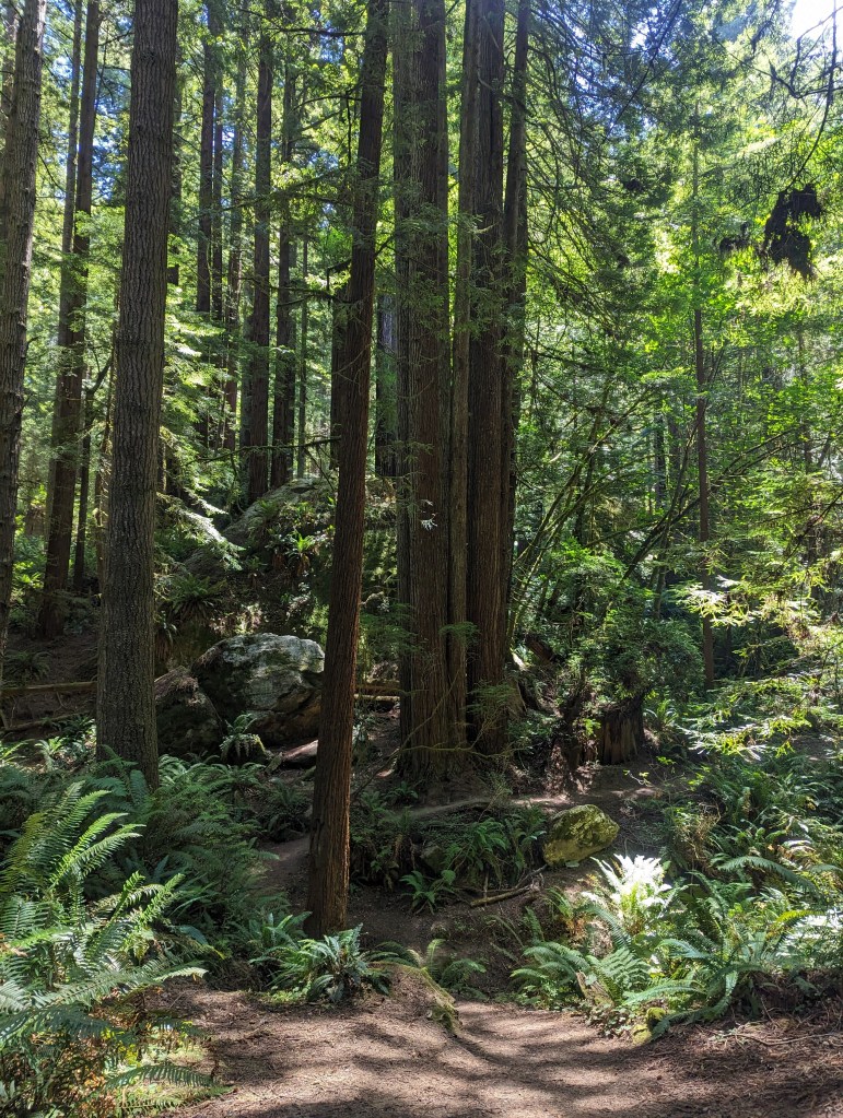
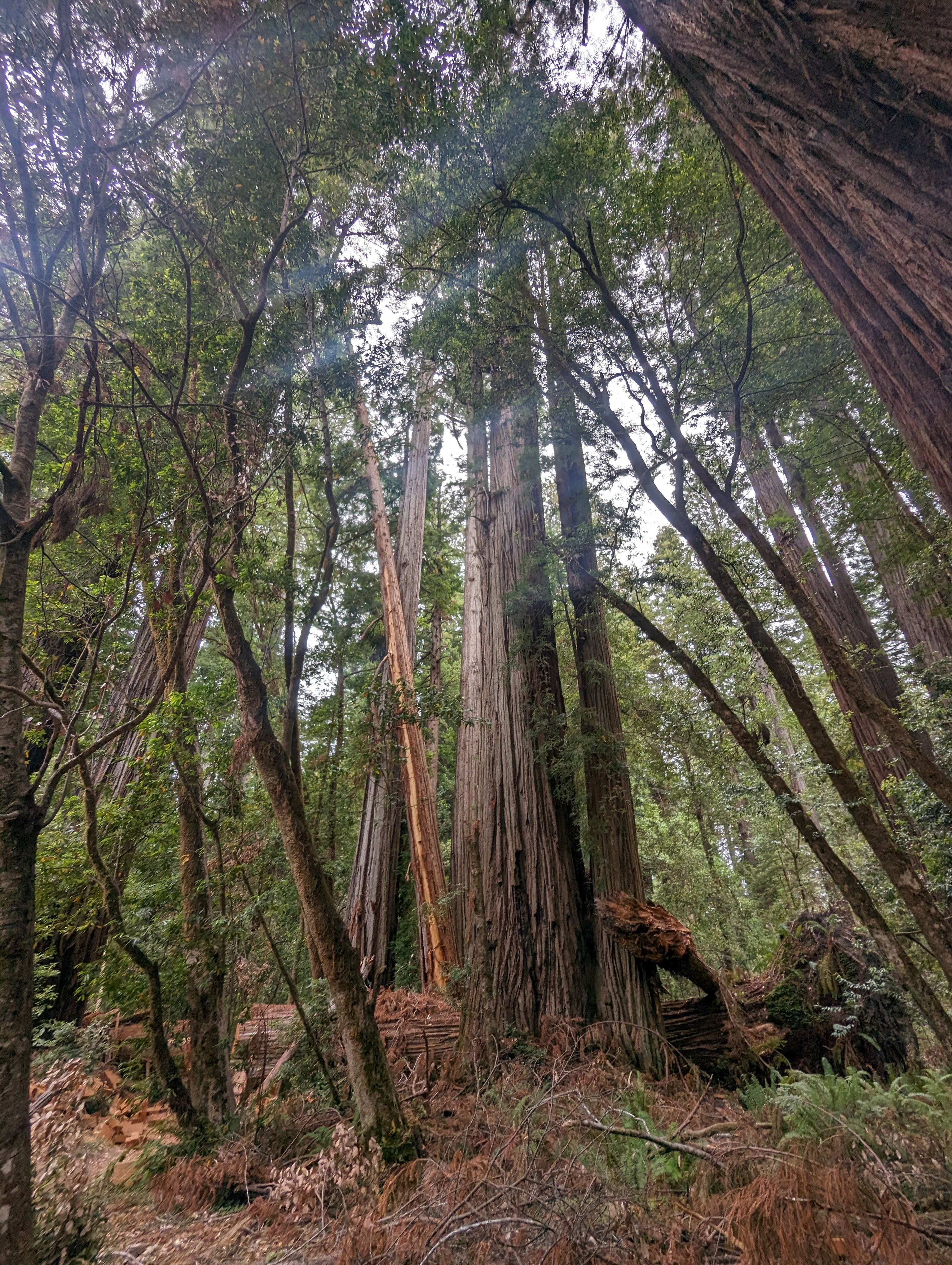
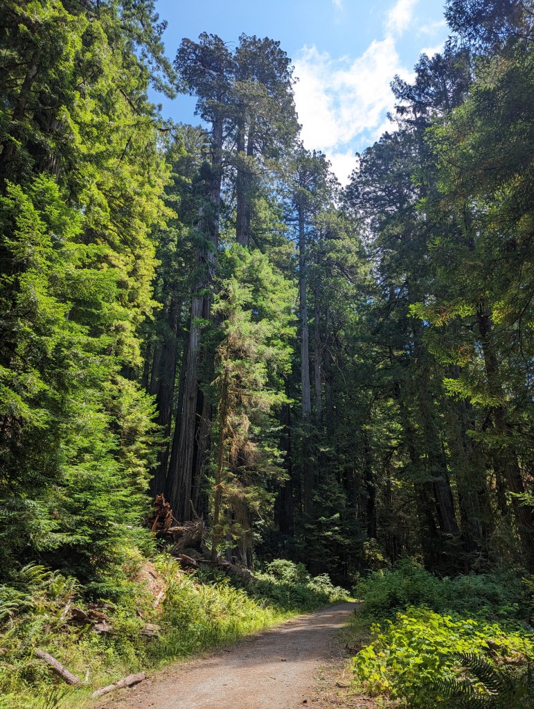
Headwaters Forest Trail * 12.13 miles
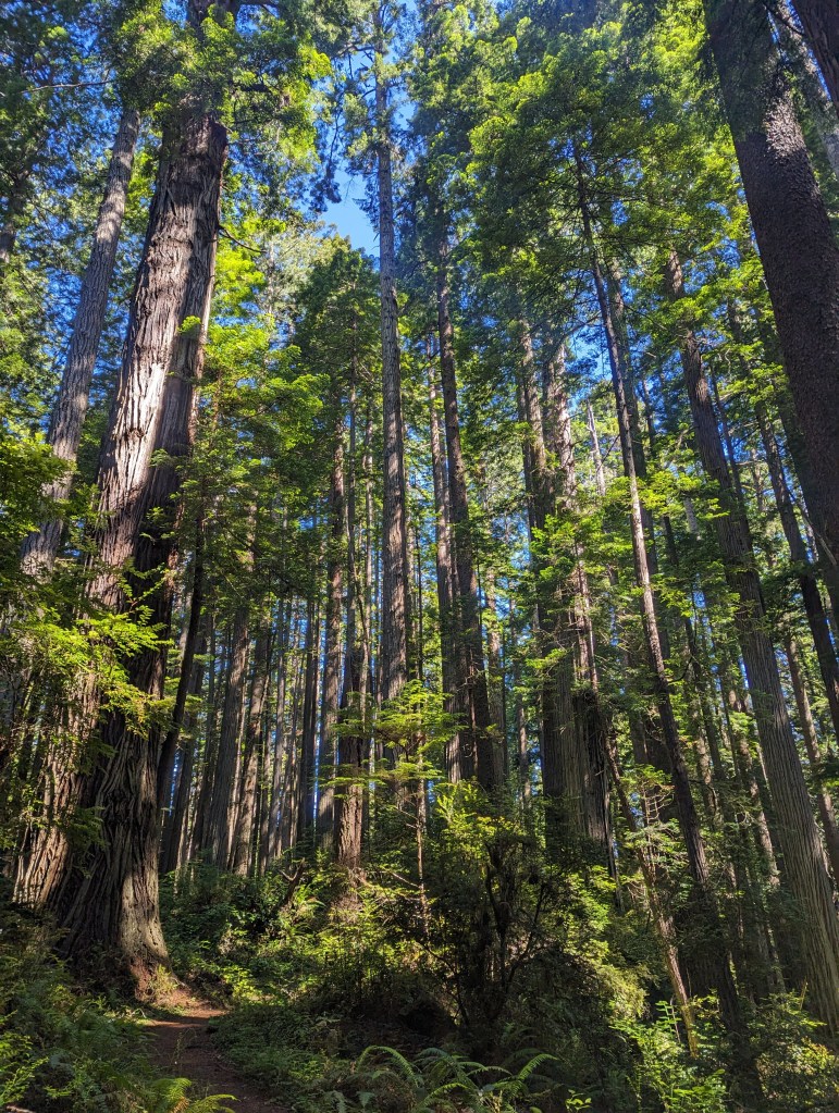
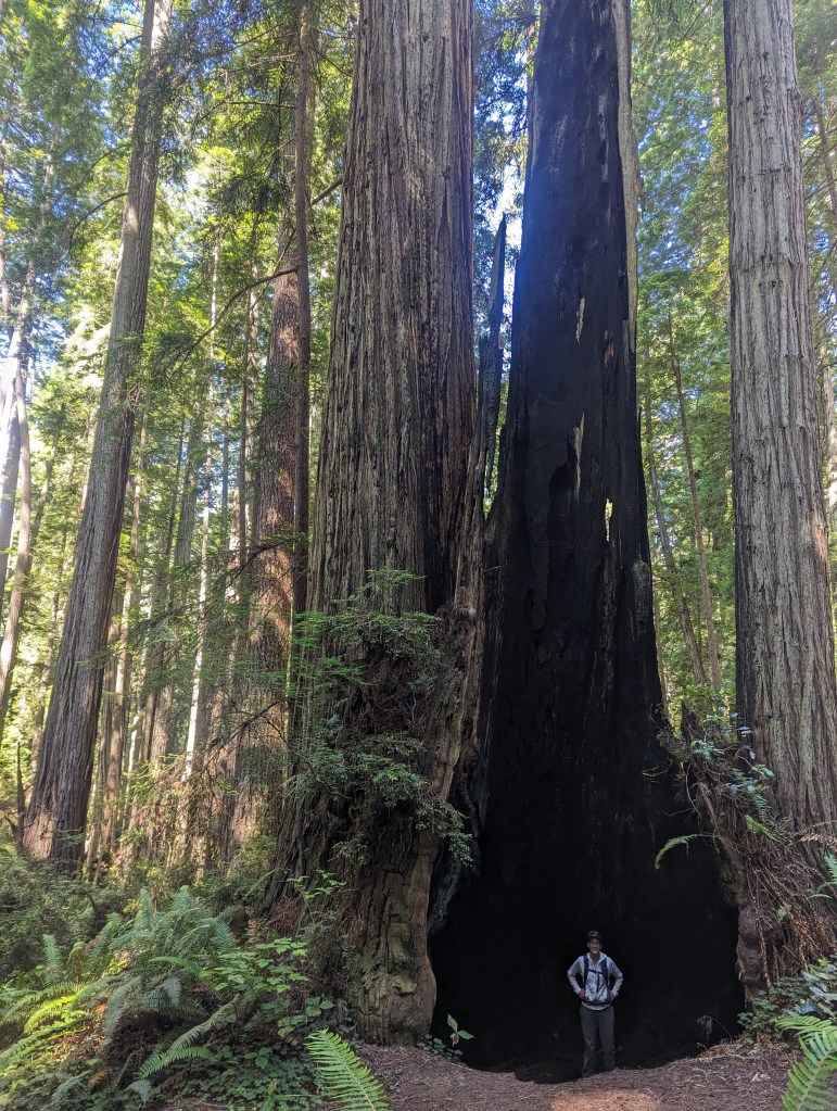
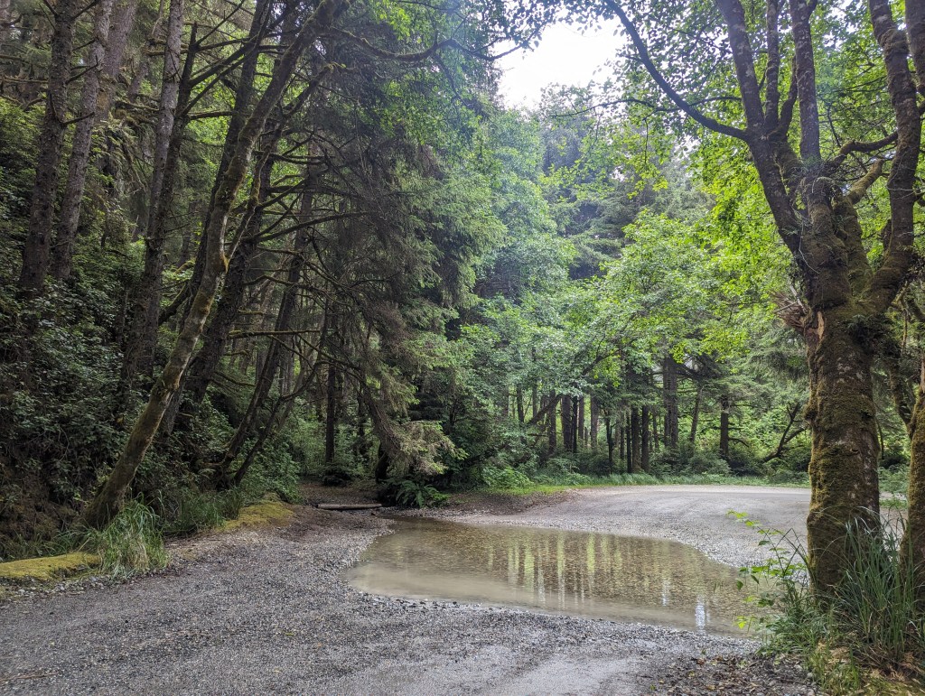
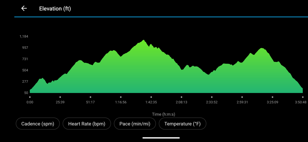
All access paved walkway makes for easy walking for the first mile as we follow the South Fork of the Elk River. We stick with the river for another two miles as we walk out of the fog and into the sun. The trail passes under massive maples and we dodge patches of stinging nettle before crossing a bridge over Elk River. From this point the trail climbs steeply via long switchbacks to an undulating ridge trail with occasional steps and lots of roots to hop over. The old growth loop is full of spectacular trees reaching high into the sky with burn scars and gnarly burl “butts.” After a 30 minute sitting snack break, we bomb down the trail retracing our steps back to the trailhead. Over the 12.13 miles in 4 hours and 20 minutes, we climb a total of 1,788 ft. with the highest elevation topping out at 1,319 ft. Not too shabby for the first hike of the season!
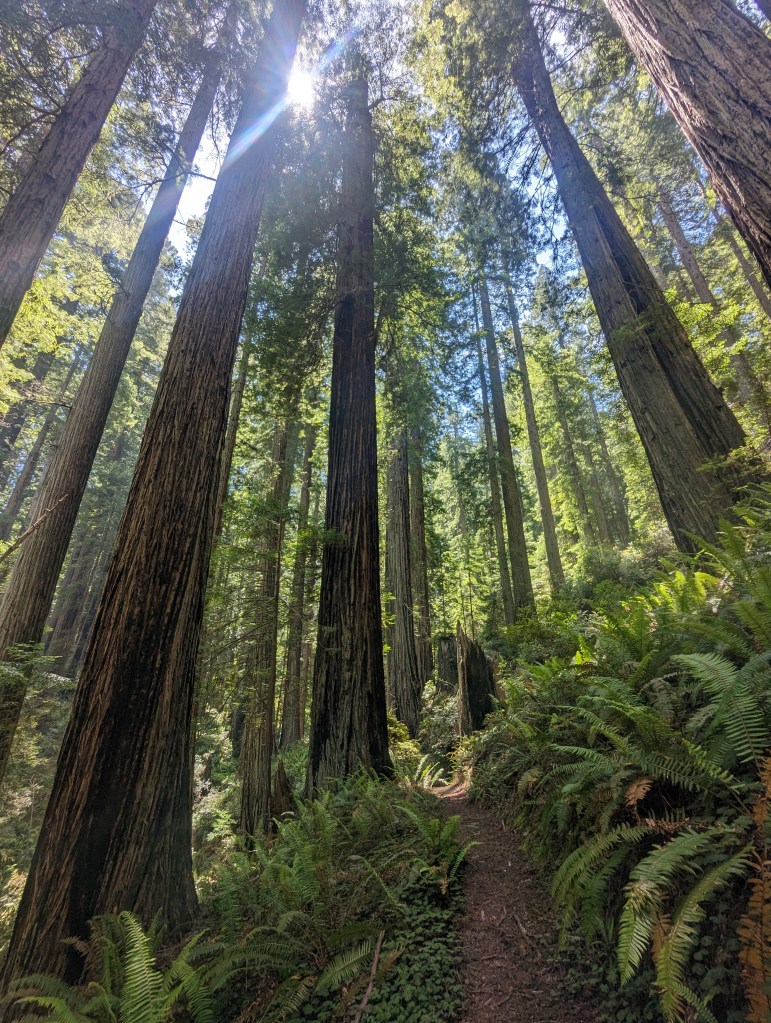
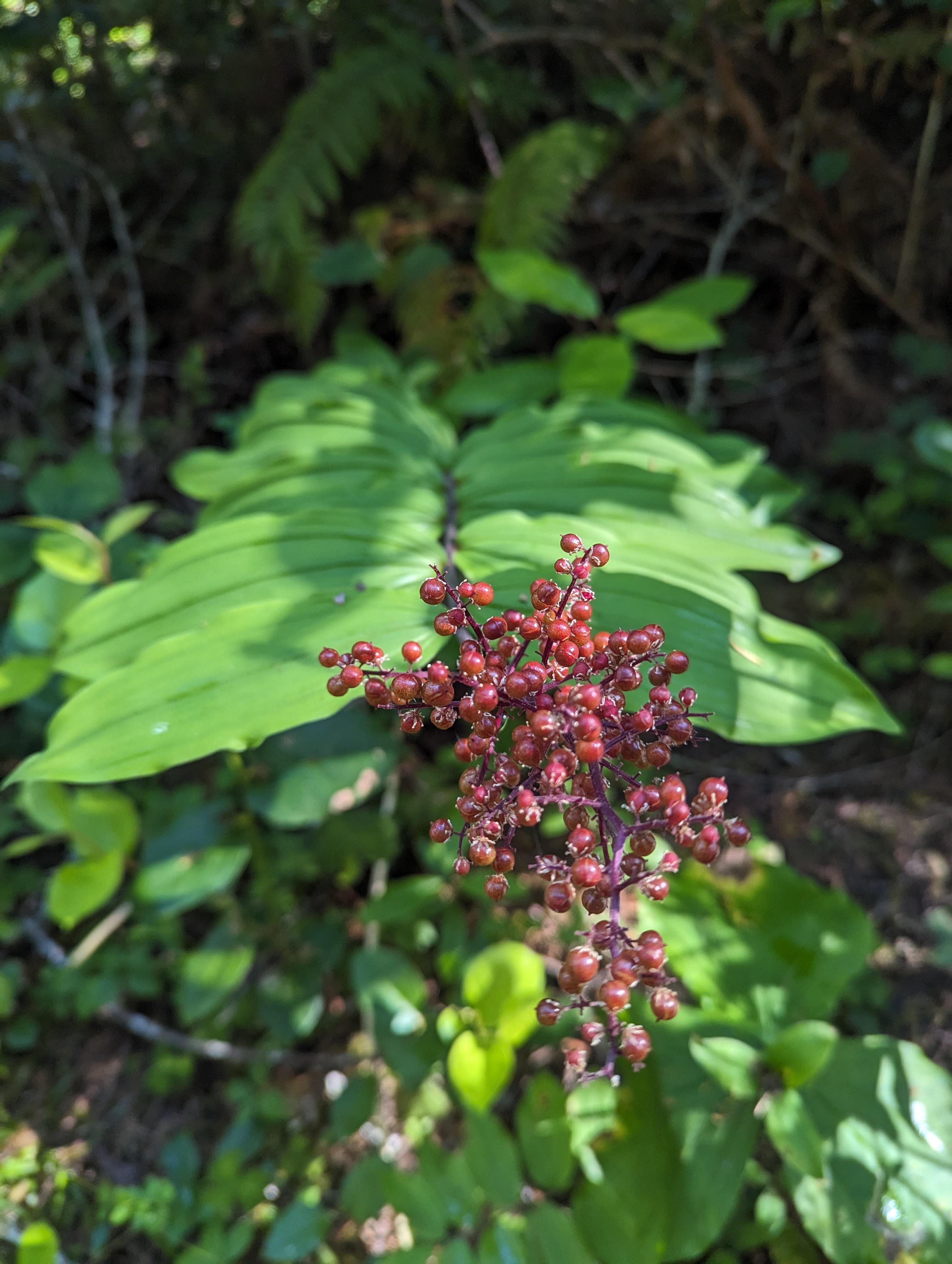
The 7,472-acre Headwaters Forest Reserve was established in 1999 after a decade-long grassroots effort to protect the world’s last unprotected, intact, old-growth redwood forest ecosystem. Deep in the heart of the Headwater Reserve, old-growth forest forms the headwaters of the South Fork Elk River and Salmon Creek. The Reserve is managed by the BLM in partnership with the California Department of Fish and Wildlife.


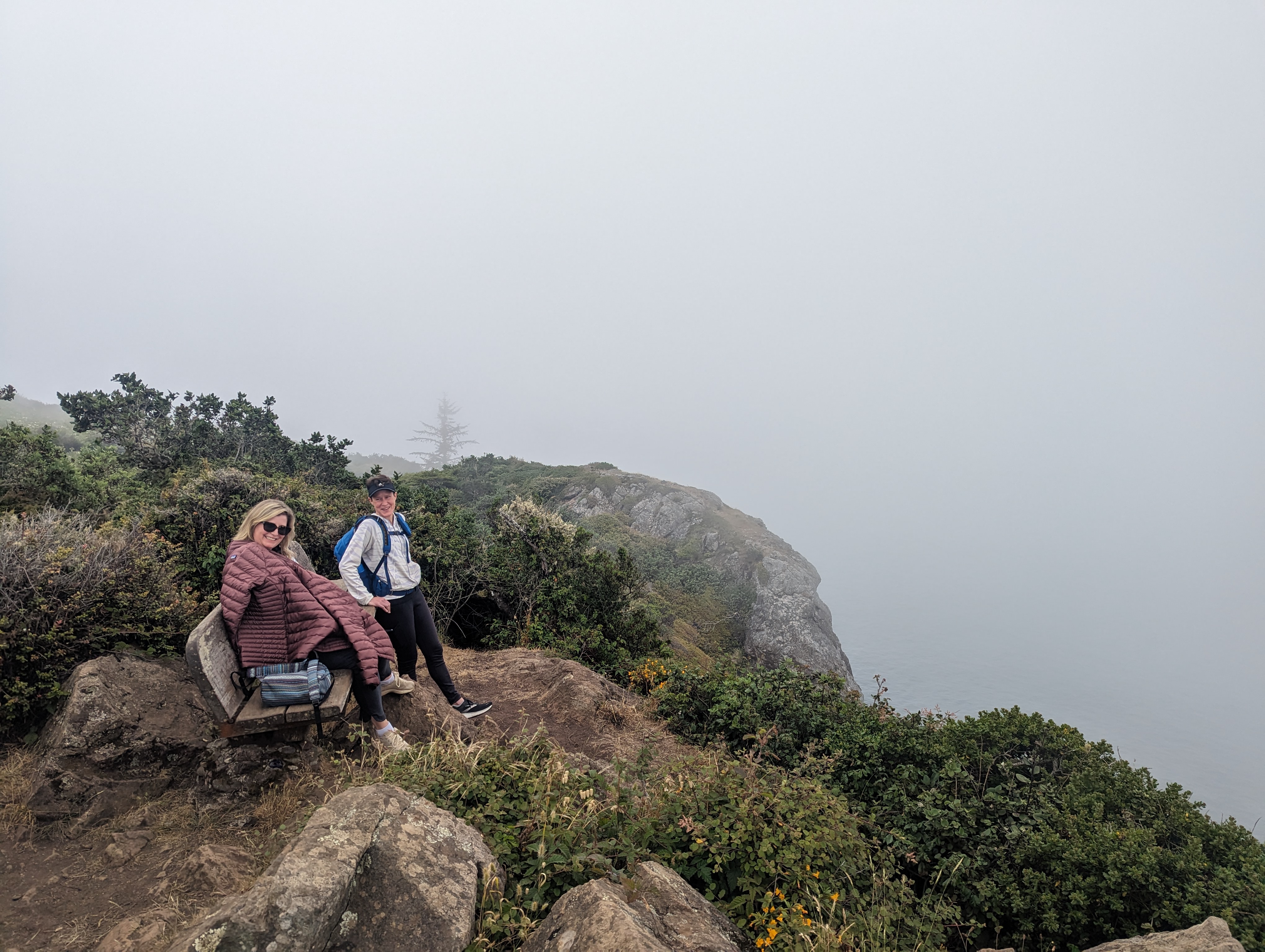
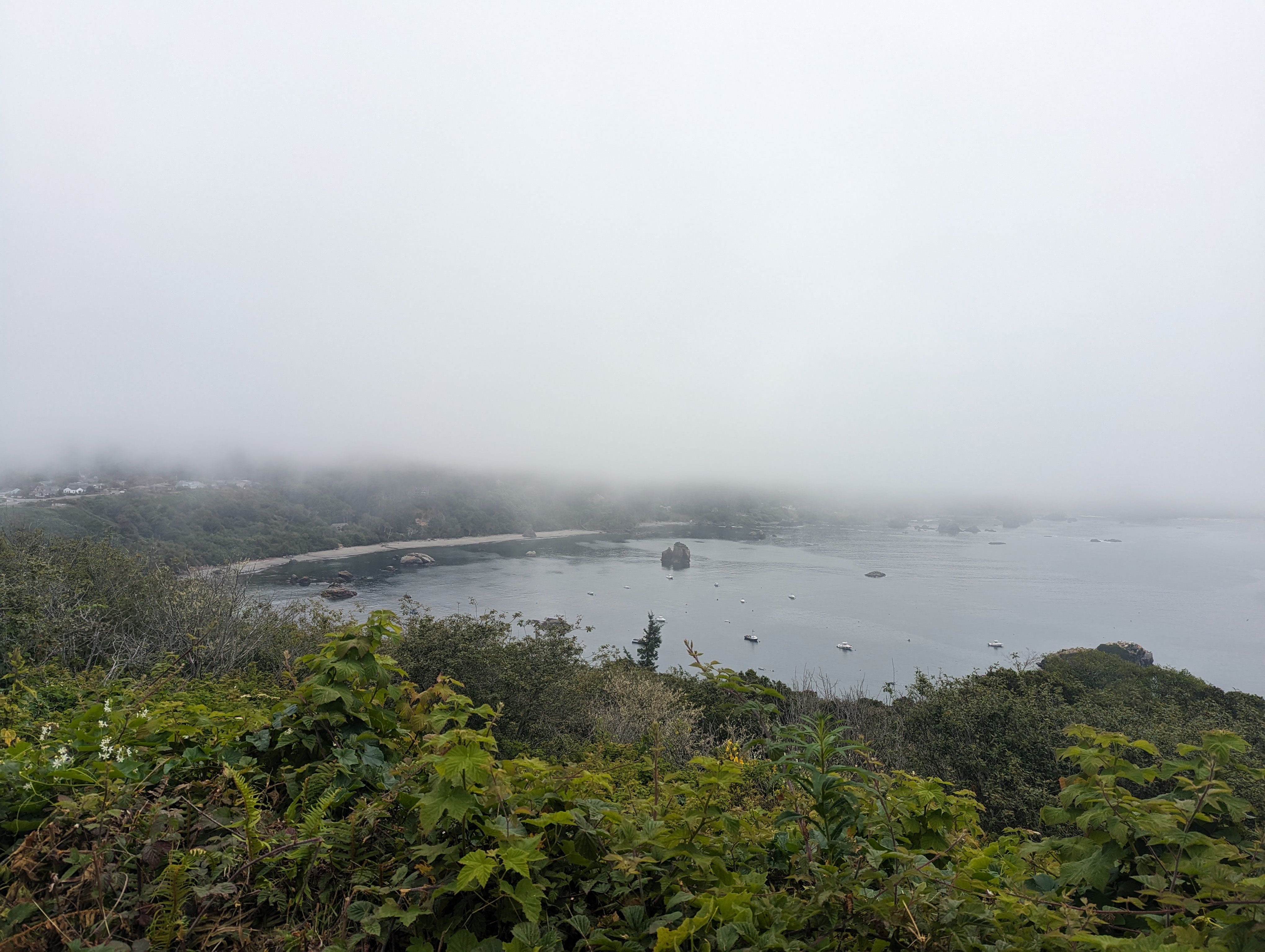
Trinidad Head and Town * 2.69 miles
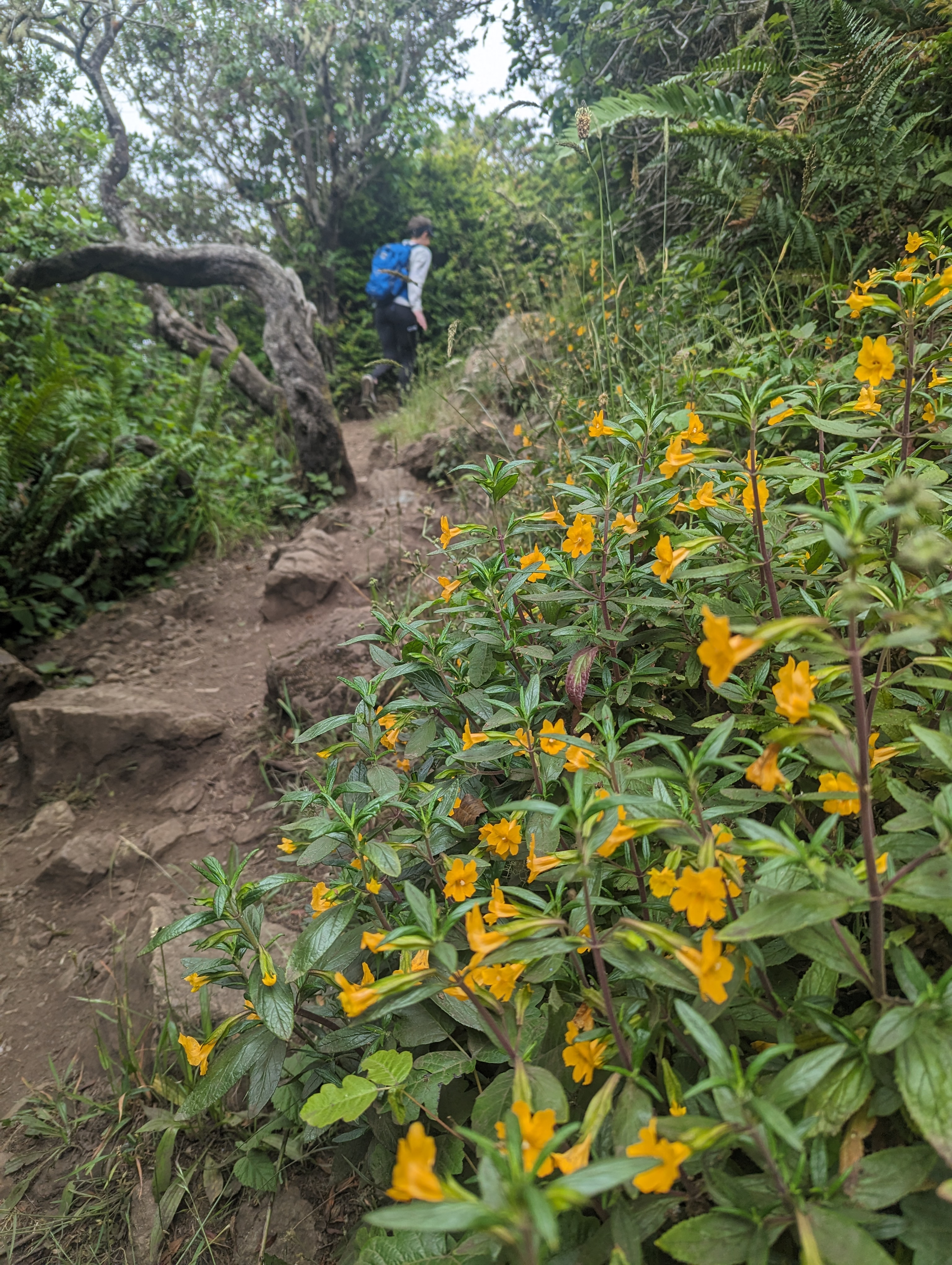
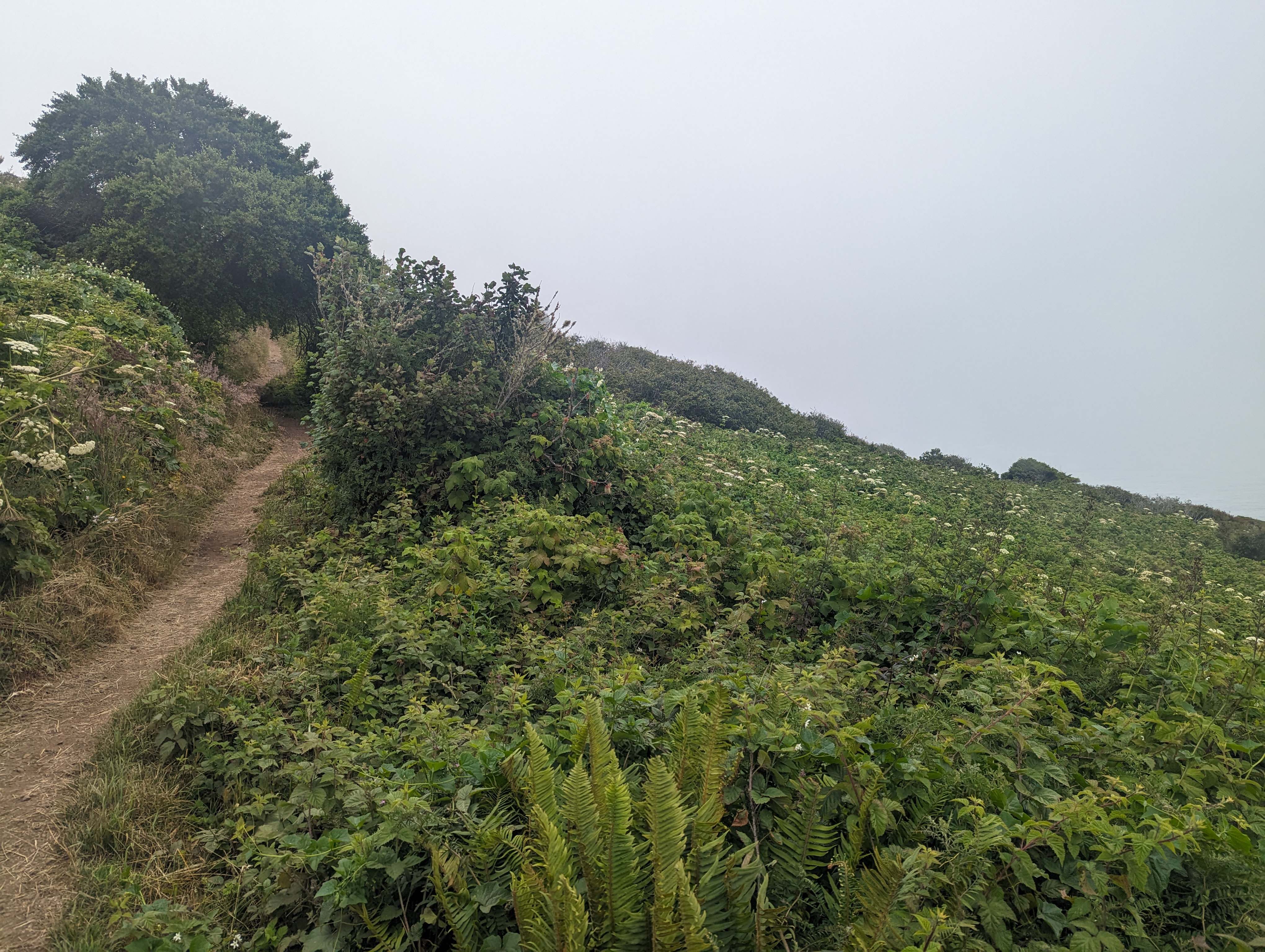
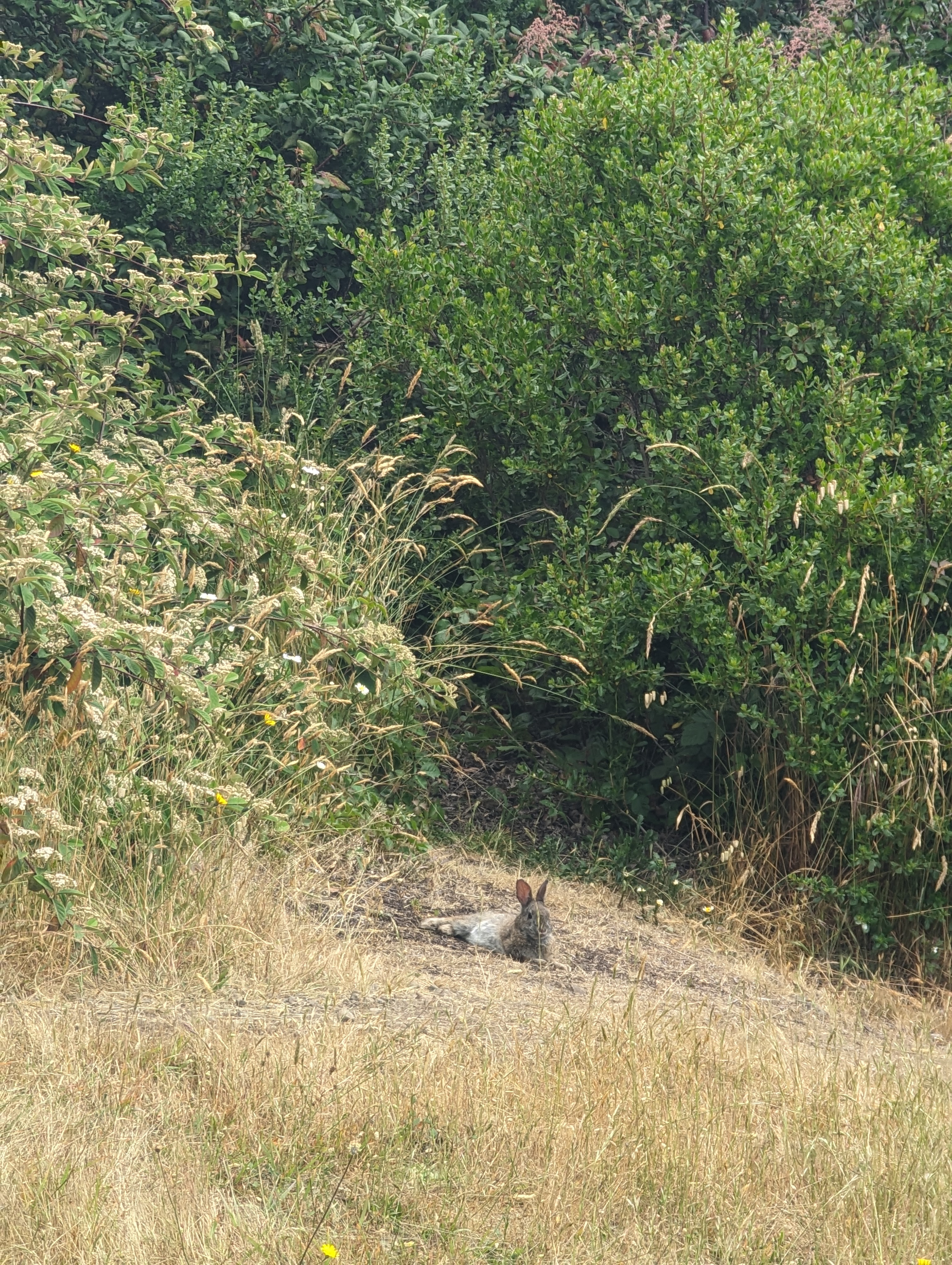
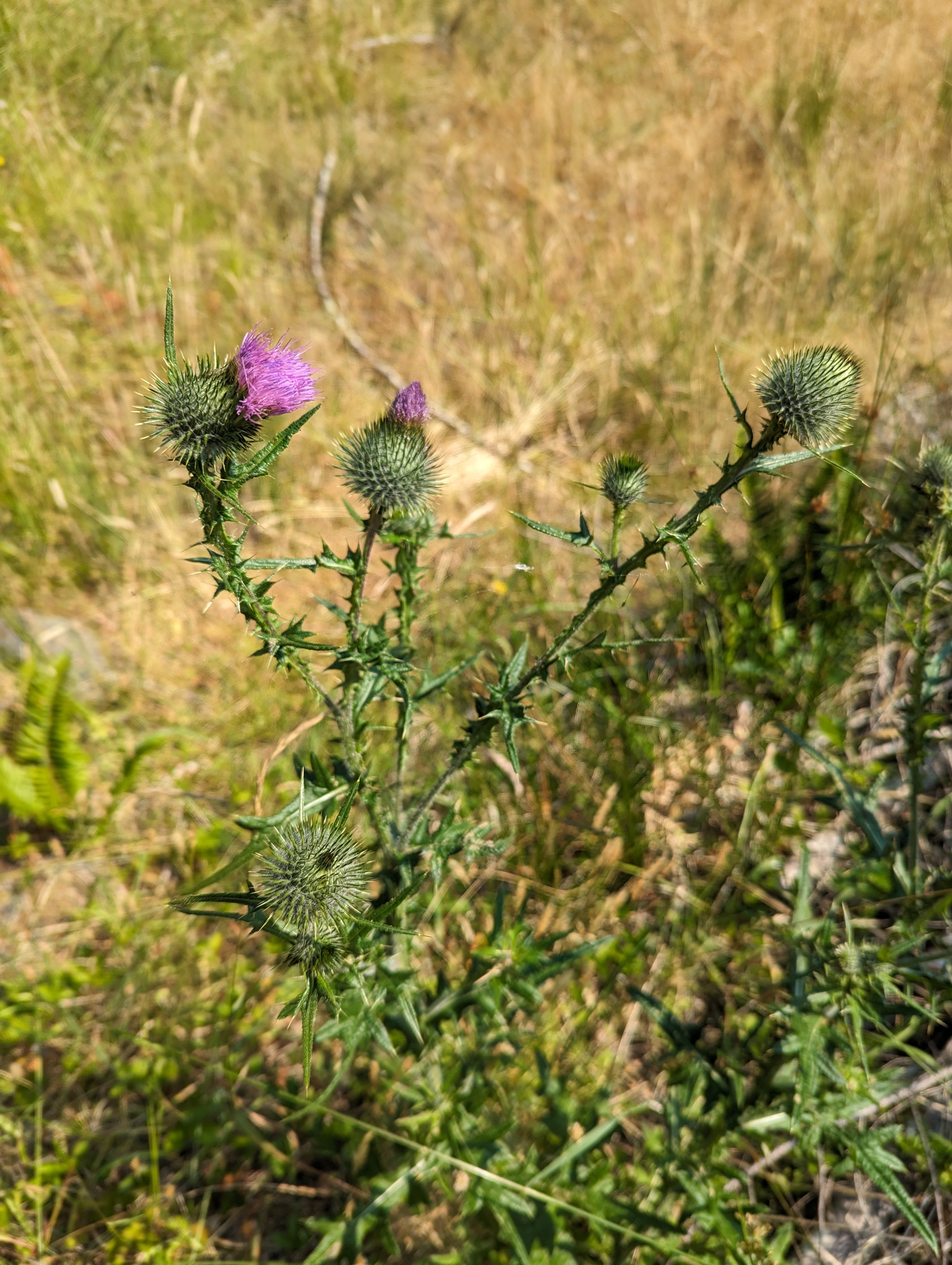
The fog is thick as we tread up the Trinidad Head road before it narrows into a trail. If you want to take a close look at the flowers, be sure not to stick your face into poison oak or step in dog poop. It’s a quick tour of Trinidad Head and we even manage to spot fuzzy tail on the way down. Will have to return when there is a clear view of the ocean! We extend through the blossoming streets of Trinidad which is short and sweet.

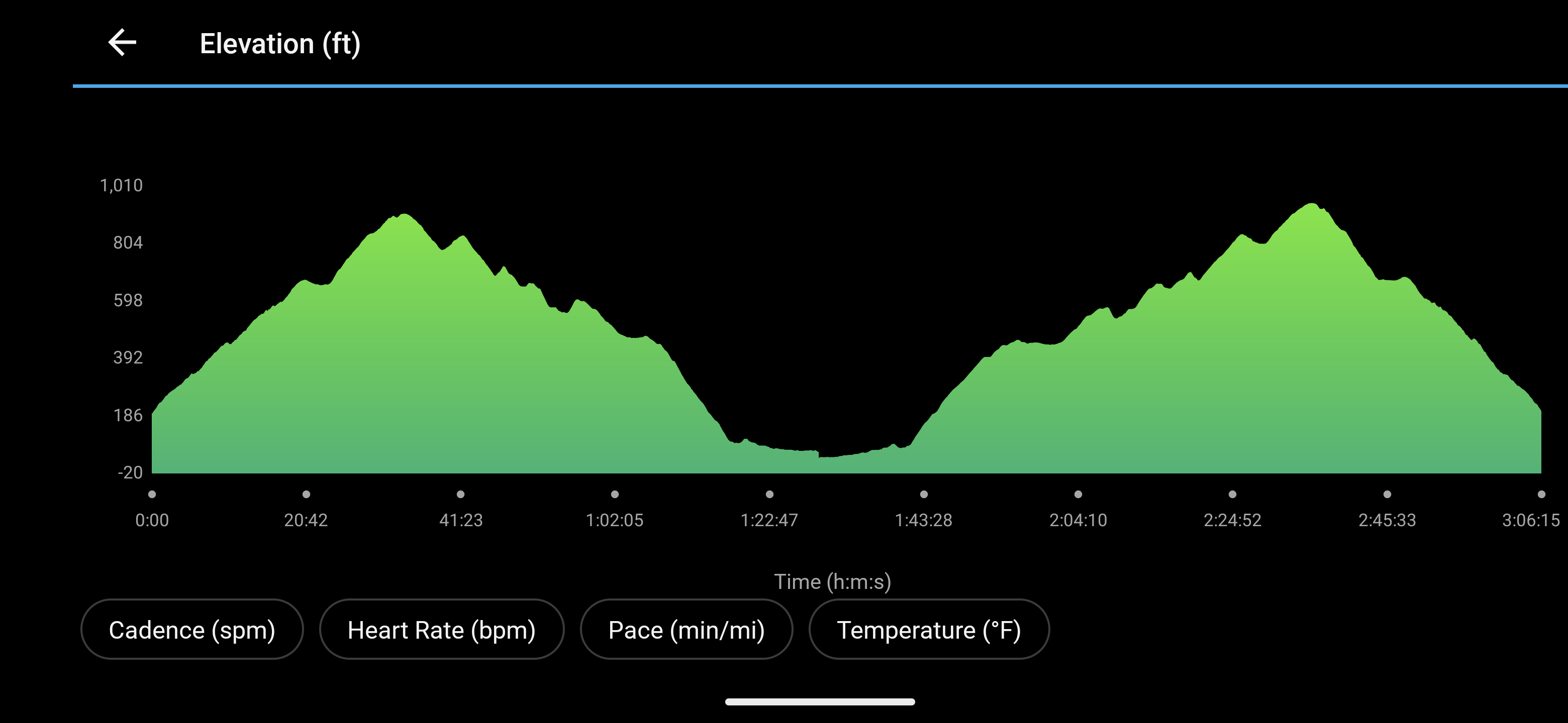
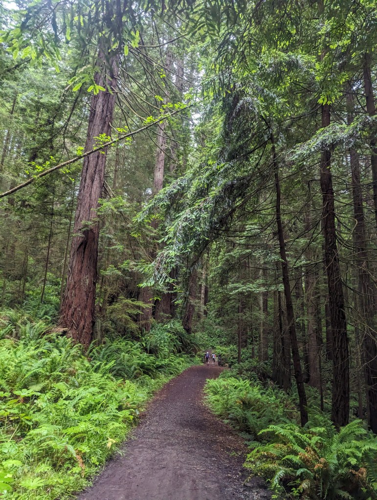
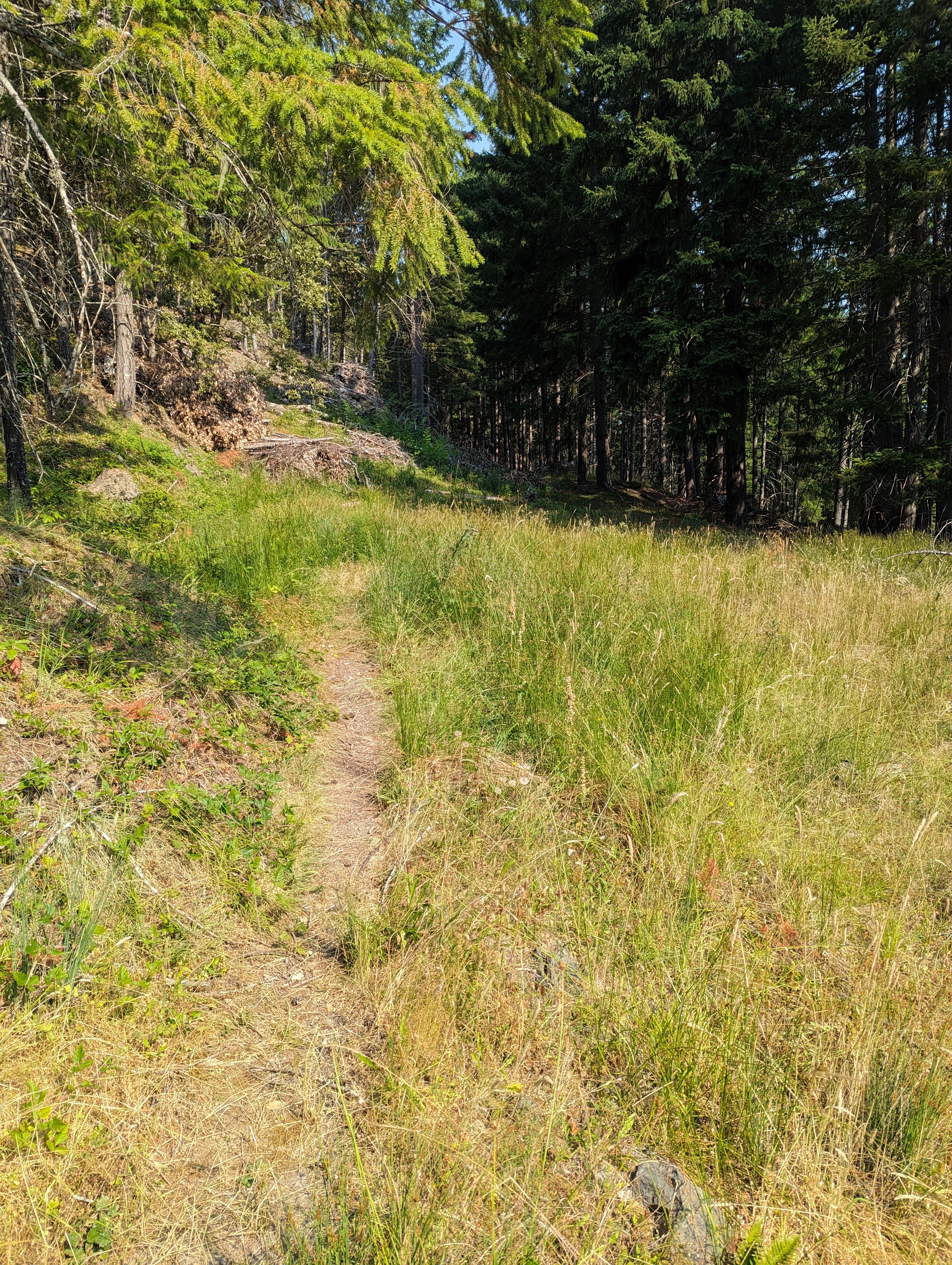
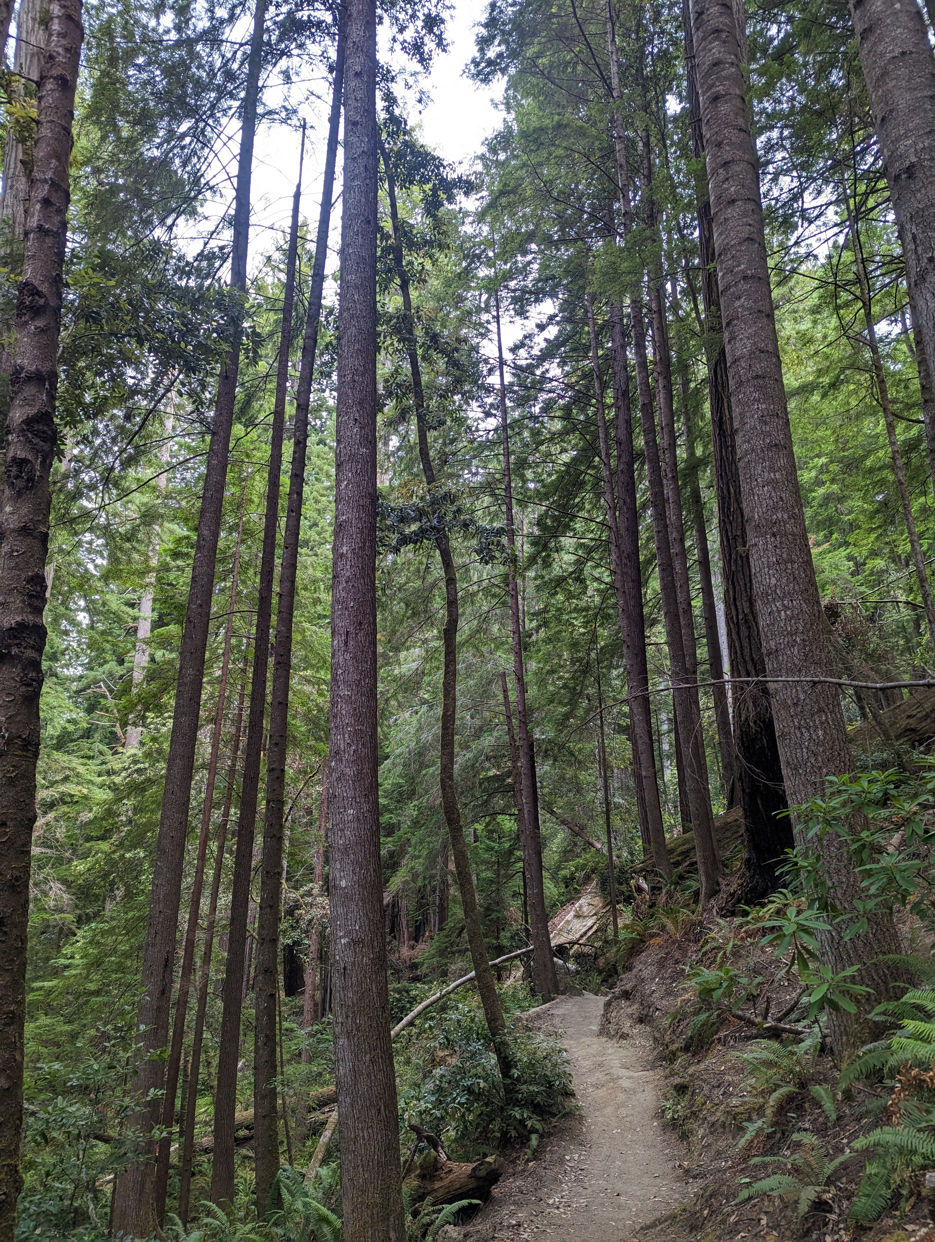
Arcata Ridge Trail Yo-Yo * 9 miles
Hey, what if we yo-yo the Arcata Ridge Trail (ART) and what if it could qualify as a Fastest Known Time (FKT) route? Regardless, we’re always up for a forest hike! We march up the Sunny Brae Forest from the Margaret Lane trailhead topping out at, and crossing Fickle Hill Road. The ART meanders slightly through the Arcata Community Forest for about 3 miles before bottoming out at the West End Road trailhead. We take a standing break to consume snacks and water before treading back over our footsteps. We see members of the community and say hi. Total elapsed time is 3h 6m 14s with 1,971 ft. of elevation gain and it’s the first FKT for the newly created route! It’s a quick trip even with backpacks and we’re ready to go faster next time!
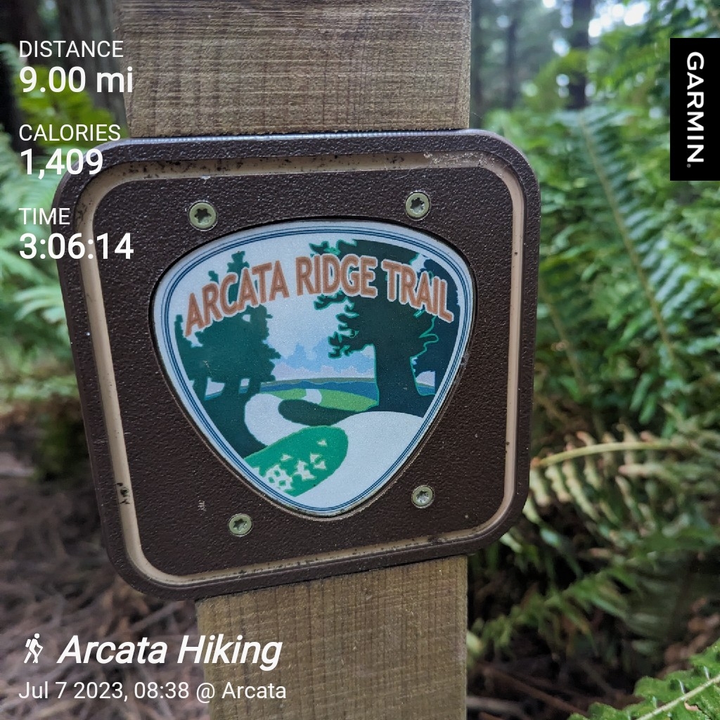
The Arcata Ridge Trail is a 4.5 mile regional trail connecting the public lands of the Arcata Community and Sunny Brae Forests. The Arcata Ridge Trail allows hikers, bikers, and equestrians to travel from the southern to northern City limits without leaving the awe-inspiring Coast Redwood forest. The linear, 9 mile Arcata Ridge Trail Yo-Yo can be started at either the Margaret Ln. Trailhead in the Sunny Brae Forest Tract or the West End Rd. Trailhead in the Arcata Community Forest.
The Arcata Ridge Trail (ART) represents a decade-long community project whose completion was marked by the achievement of connecting the main tract of the Arcata Community Forest with the Sunny Brae Forest Tract. Arcata and the ART draw people from all over the world who travel to California’s North Coast region exploring the majestic Coast Redwood ecosystem.
The Arcata Community Forest (ACF) is approximately 790 acres of woodland recreation with an extensive network of developed trails. The ACF is located on the east side of Arcata with multiple trailhead access points. The Sunny Brae Forest Tract is approximately 175 acres with two trailhead access points. These community forests and other projects are part of ongoing conservation efforts.


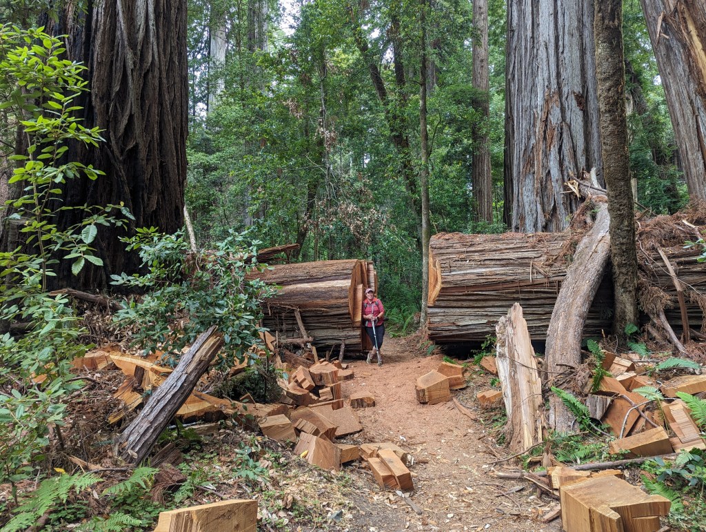
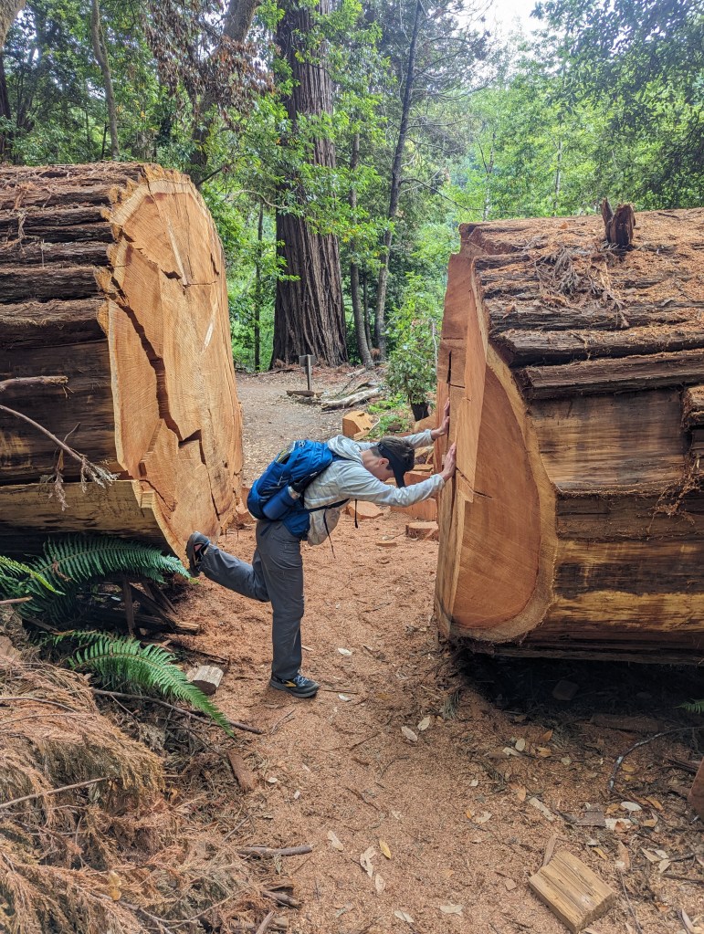
Prairie Creek Redwoods State Park * 12.2 miles
Miner’s Ridge Trail to Gold Bluffs Beach
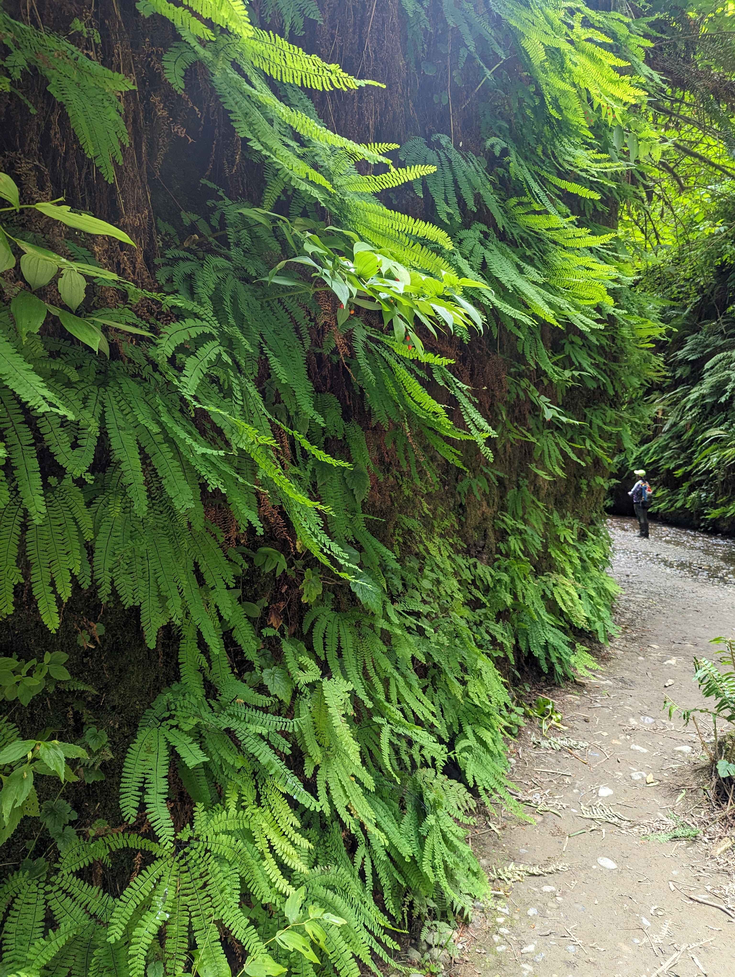
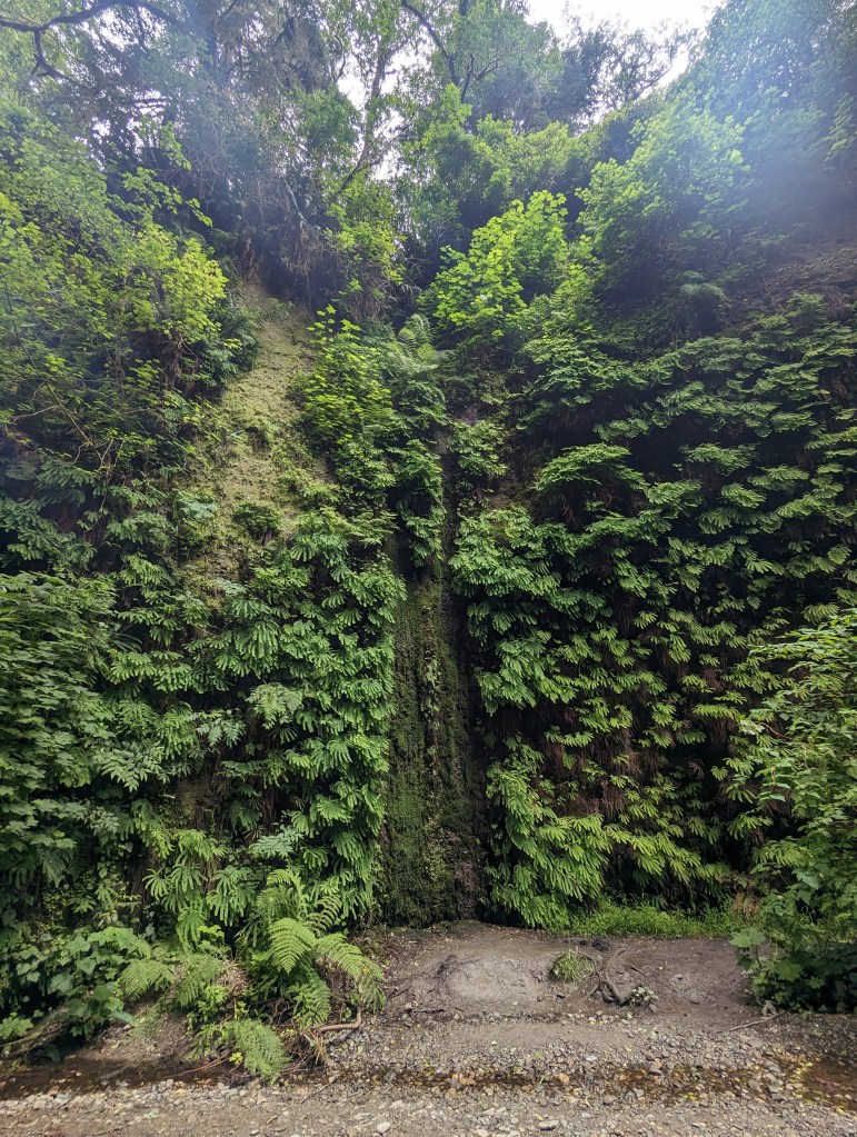
Fern Canyon to James Irvine Trail
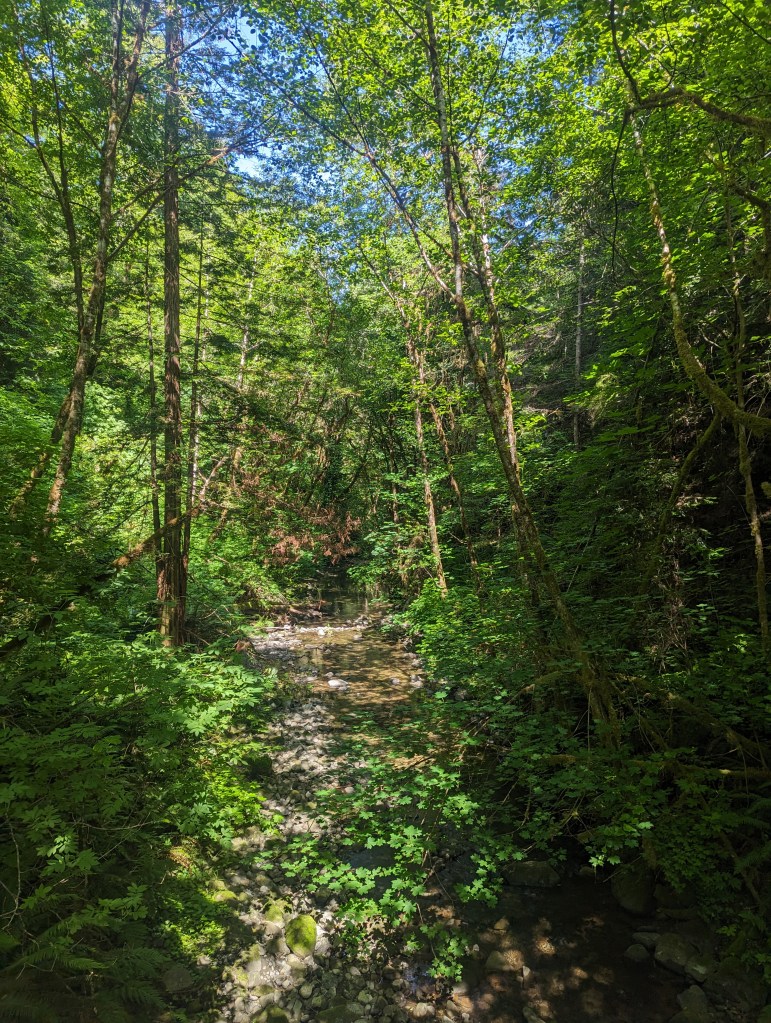
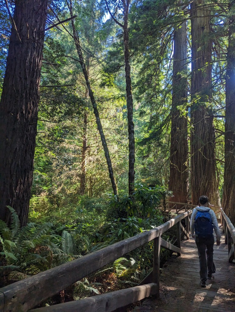
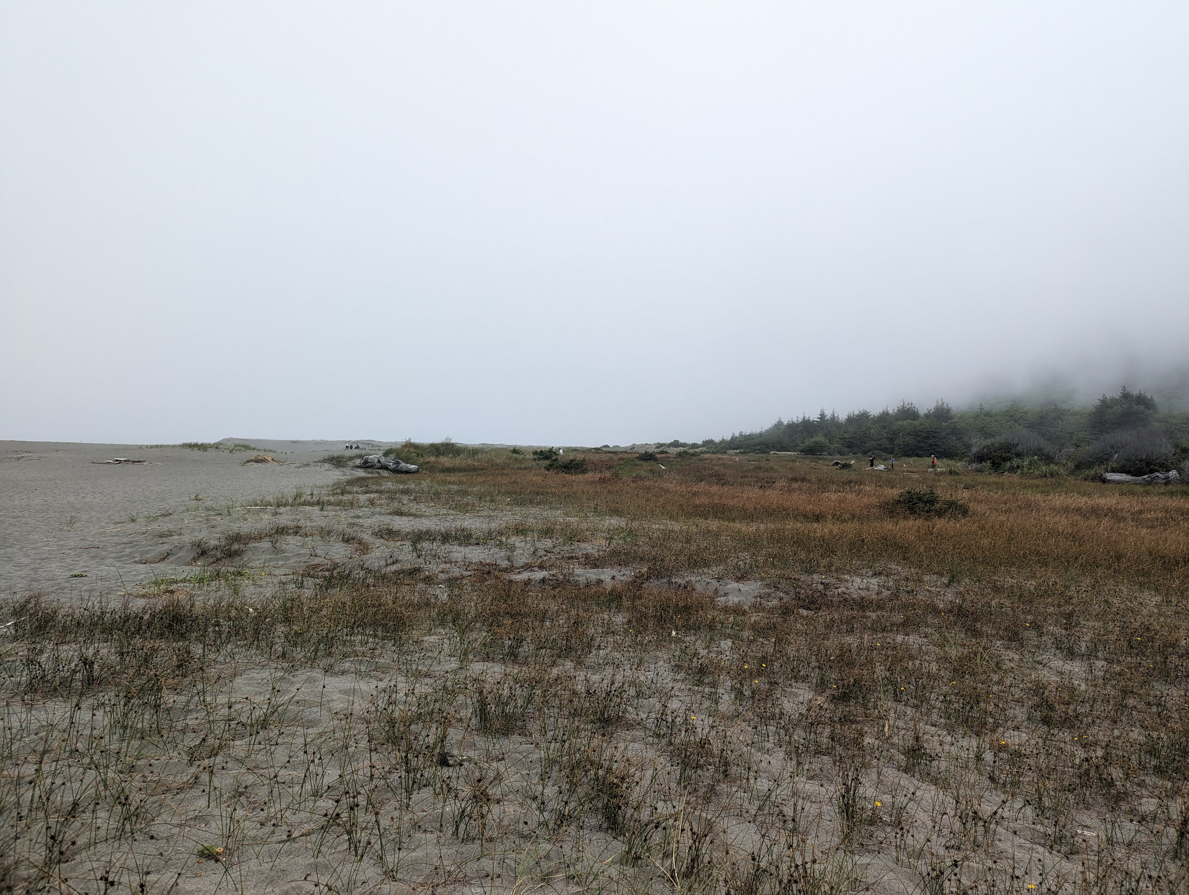
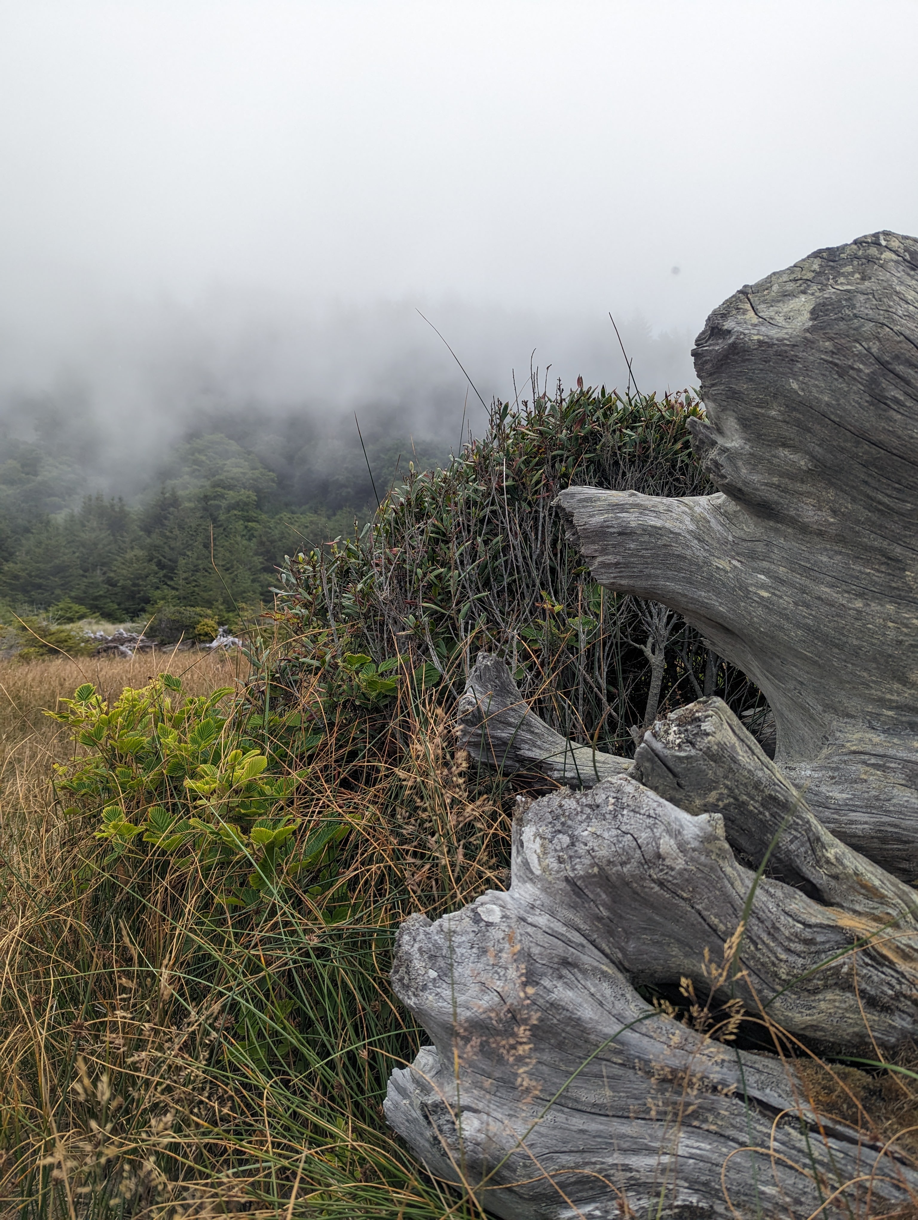
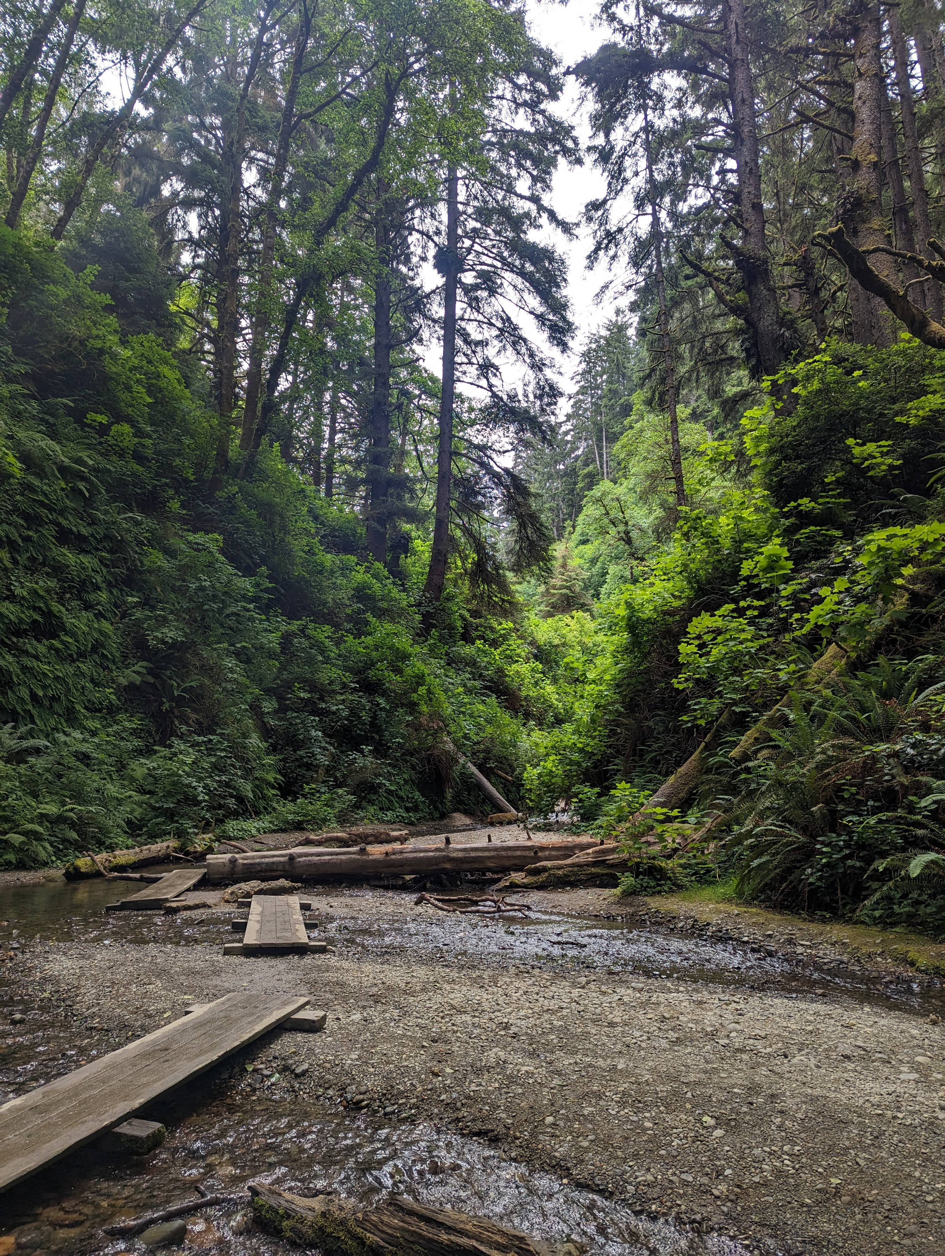
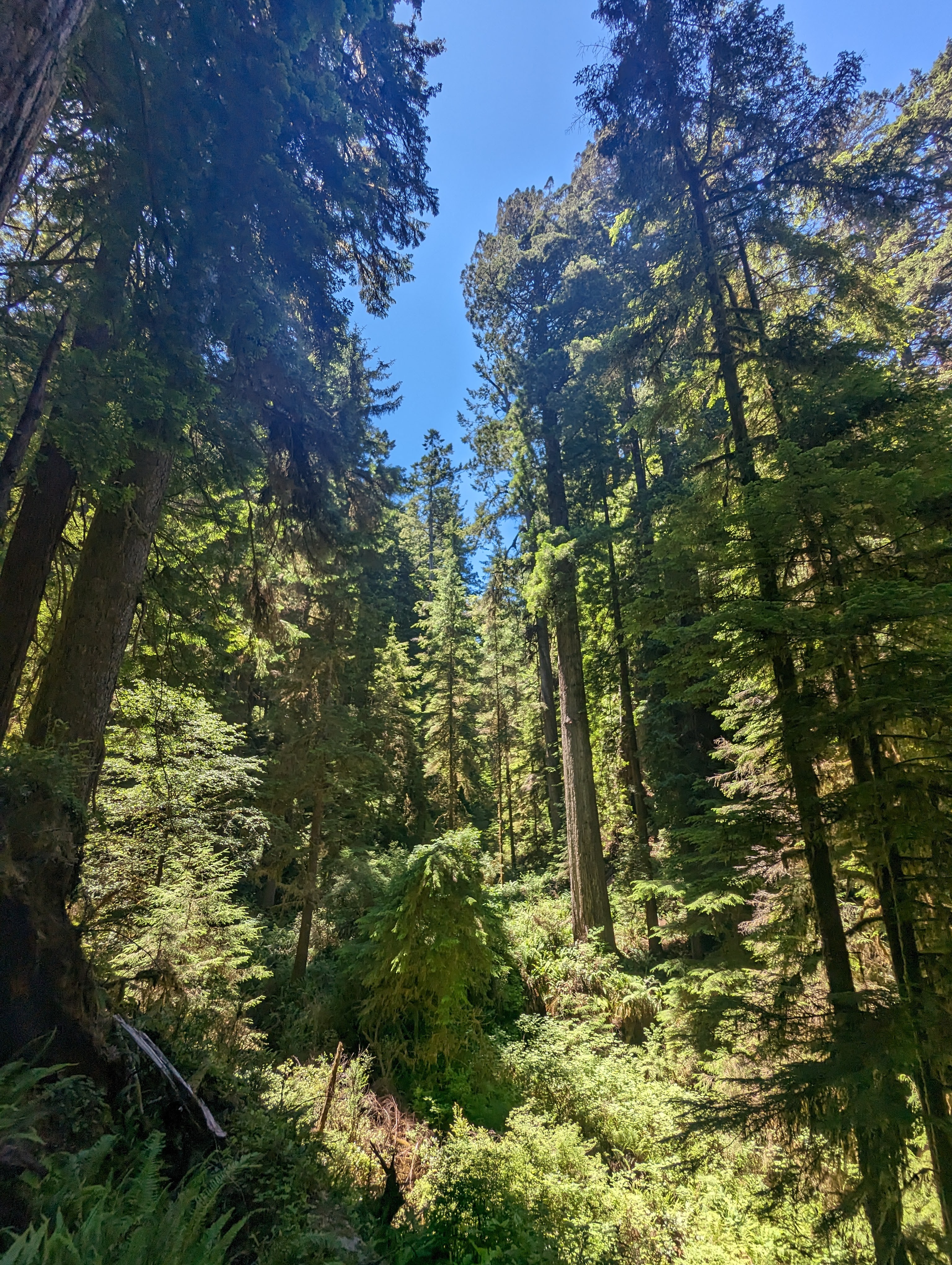
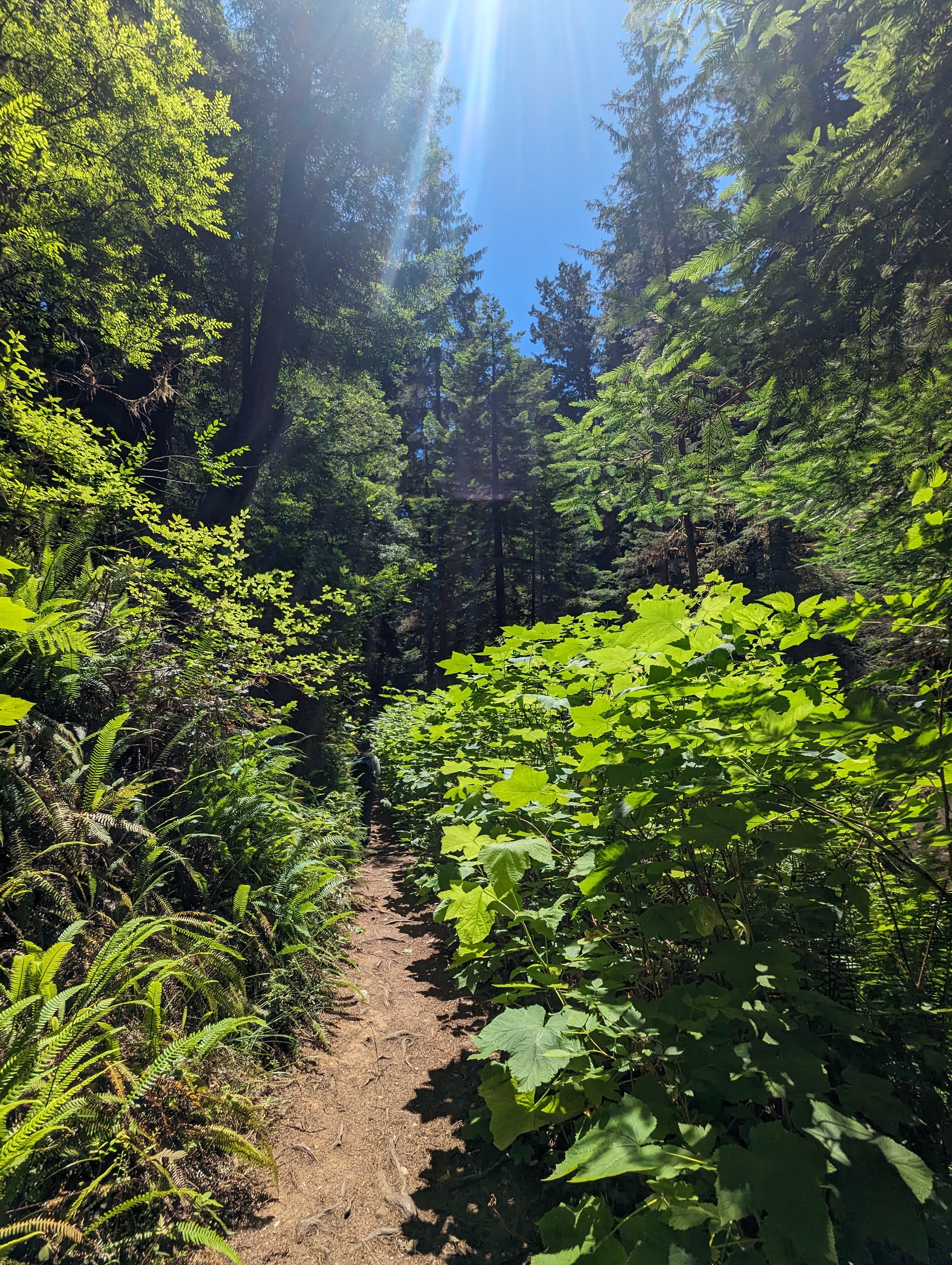
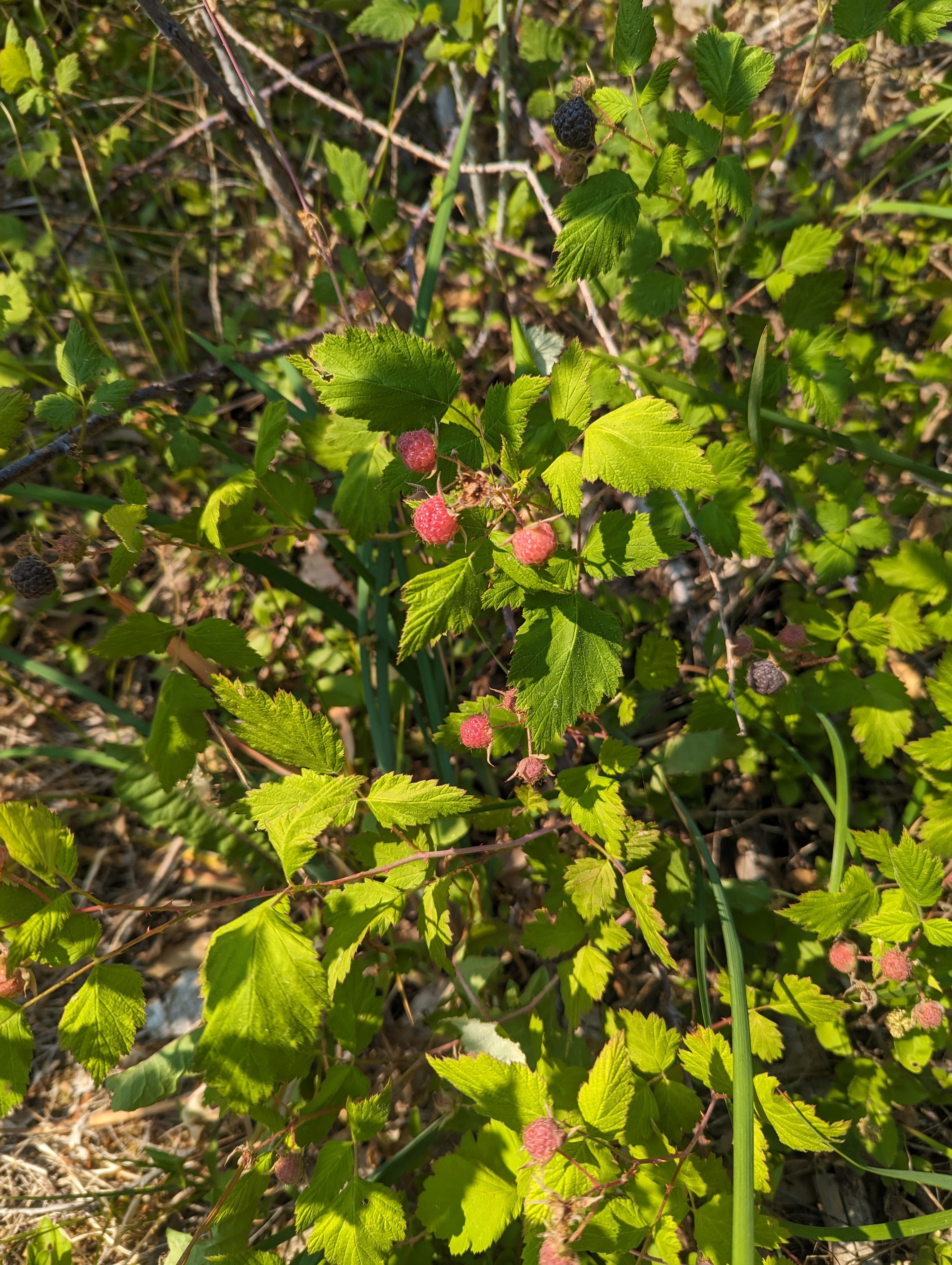
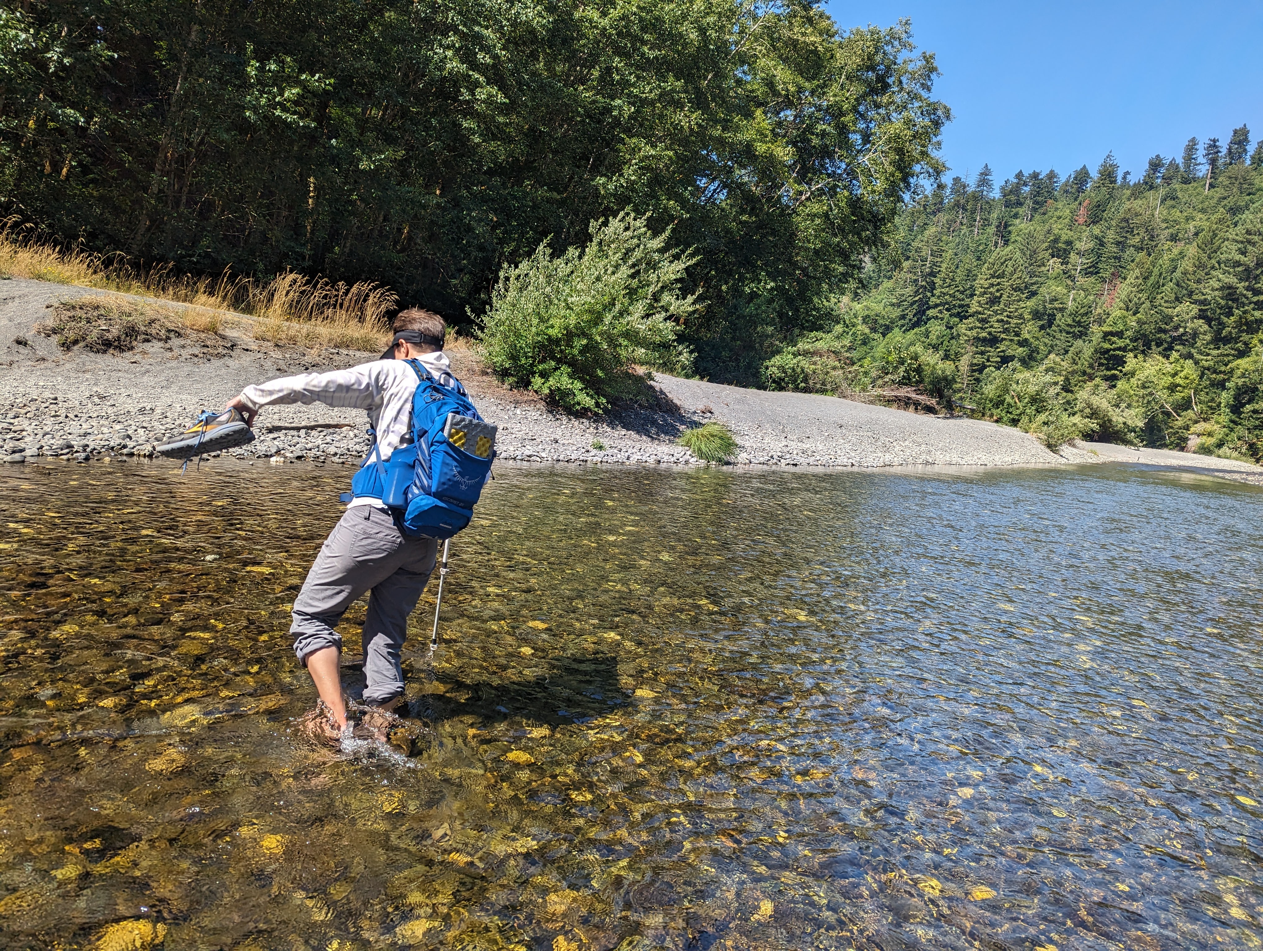
The Miner’s Ridge Trail, Gold Bluffs Beach, Fern Canyon, James Irvine Trail Loop is definitely the highlight of the summer. Rolling terrain and gently-graded trail makes for an easy hike with the steepest climbing at the very beginning. Sunny Redwood forest gives way to Sitka spruce and Thimbleberry thickets before dumping us out at Gold Bluffs Beach. Hoards of tourists from all over the country zip by in their cars on the road to and from Fern Canyon. Gold Bluffs Beach sits in thick fog but it’s still a nice stop for lunch. Fern Canyon is dripping with water and crying kids. The handy seasonal bridges make it so you don’t even have to get your feet wet. The steep 50-foot canyon walls full of ferns are spectacular and it feels like they provide a window into prehistoric times! We climb out of the canyon and back into the sunny redwood forest listening to osprey and finding trees with a whole lot of attitude.
The 14,000-acre Prairie Creek Redwoods State Park was first established in the 1920’s and is part of Redwood National and State Parks. In 1980, the park was designated as a World Heritage Site and International Biosphere Reserve, with over 280 Save-the-Redwoods League memorial groves. Prairie Creek Redwoods State Park includes 75 miles of hiking trails, bicycle trails, and backpacking opportunities.


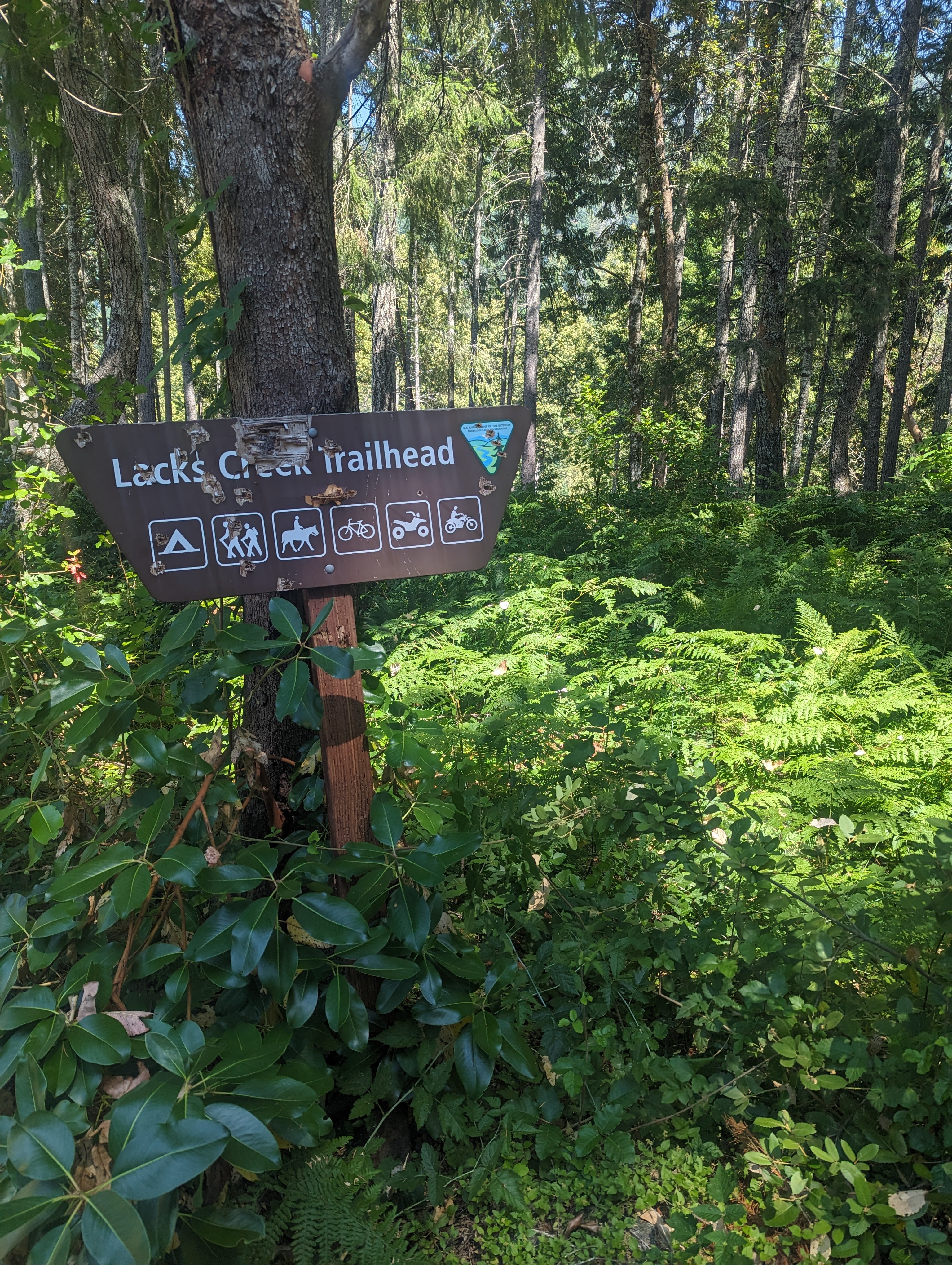
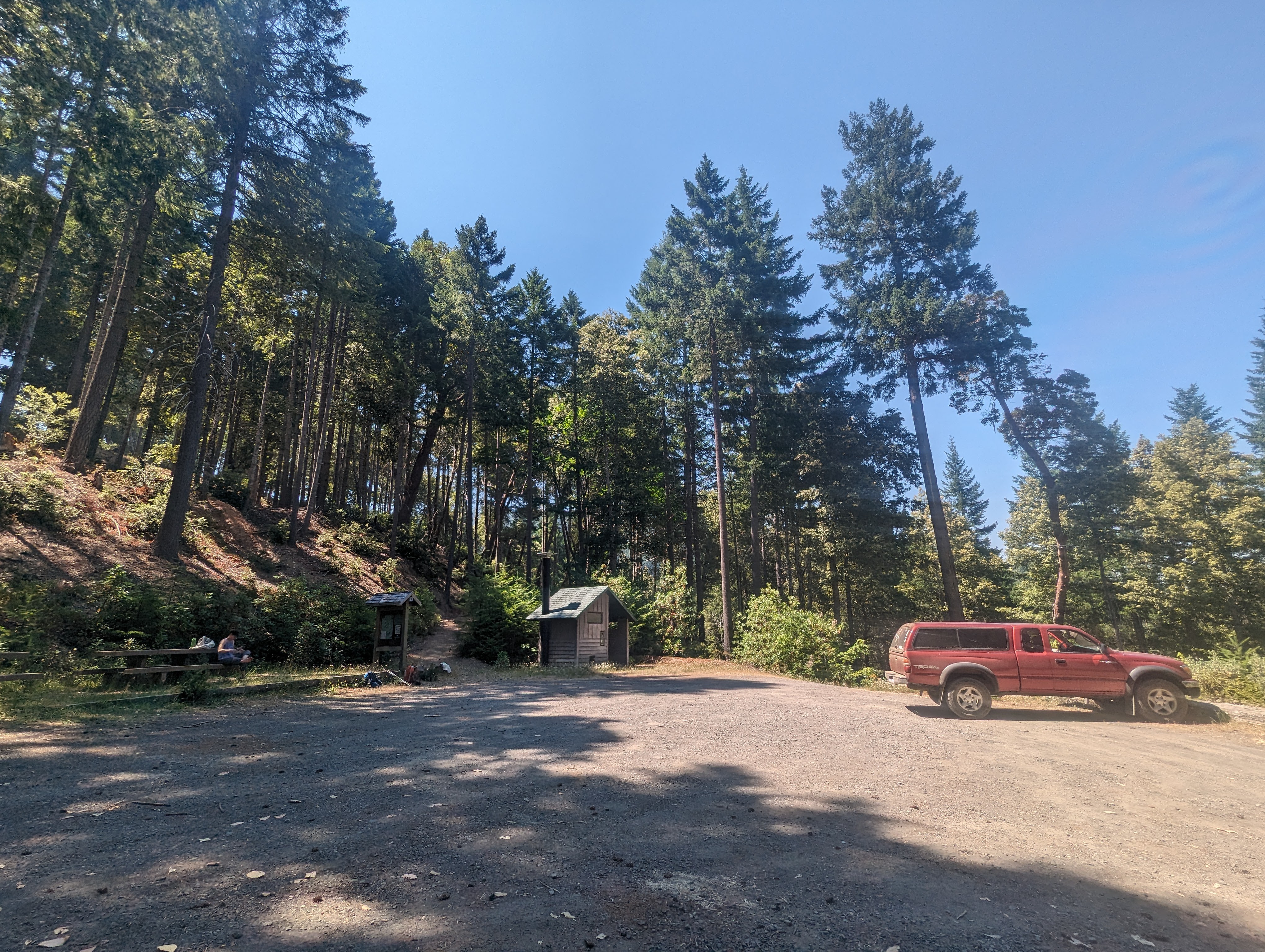
Lacks Creek Management Area * 10.43 miles
Beaver Ridge Trail
Round Prairie Trail
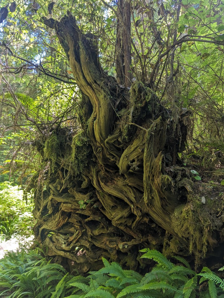
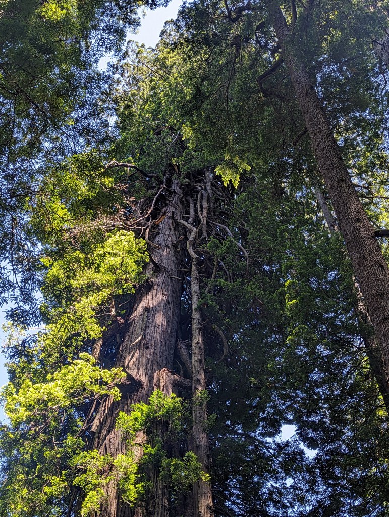
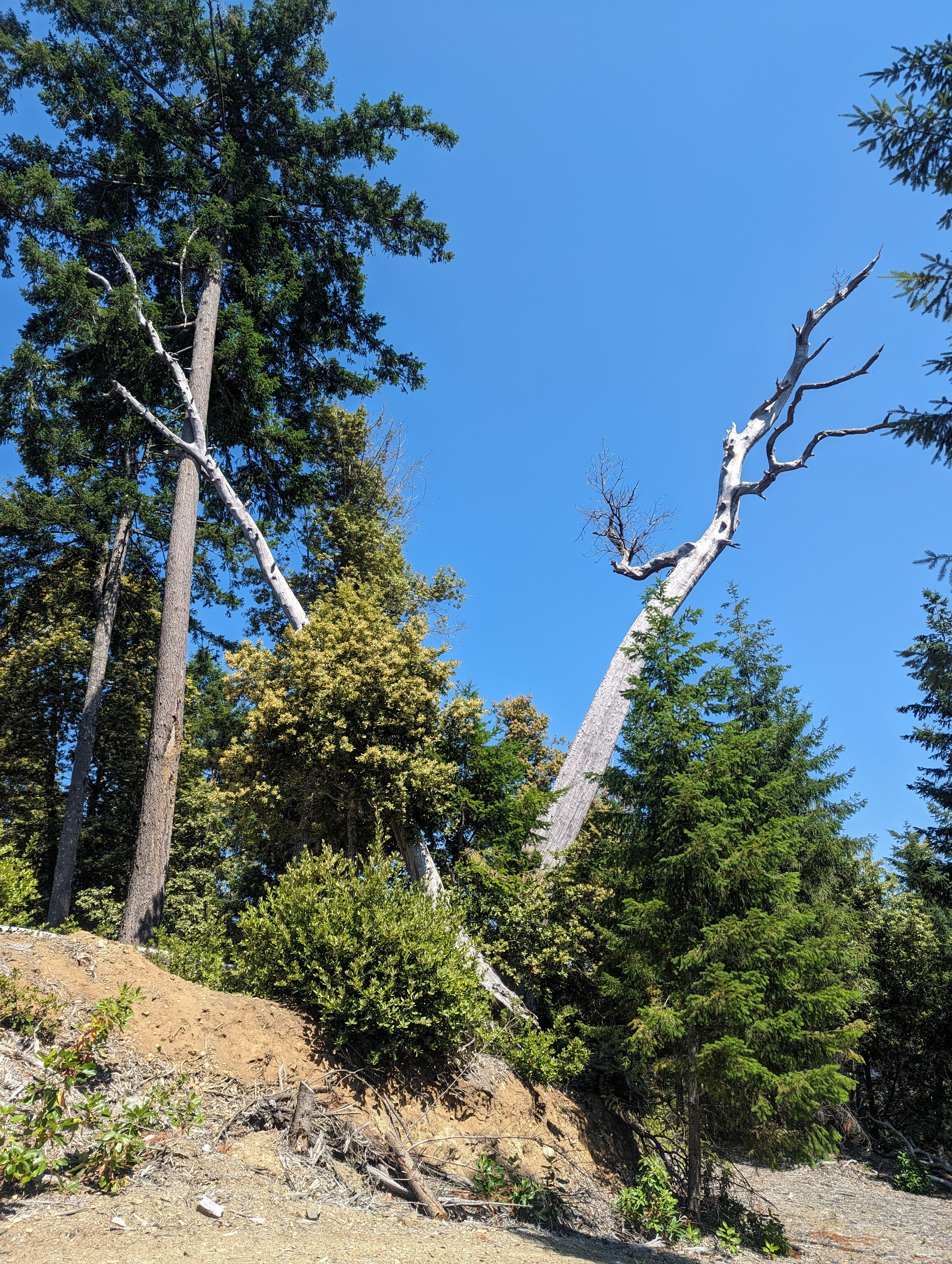
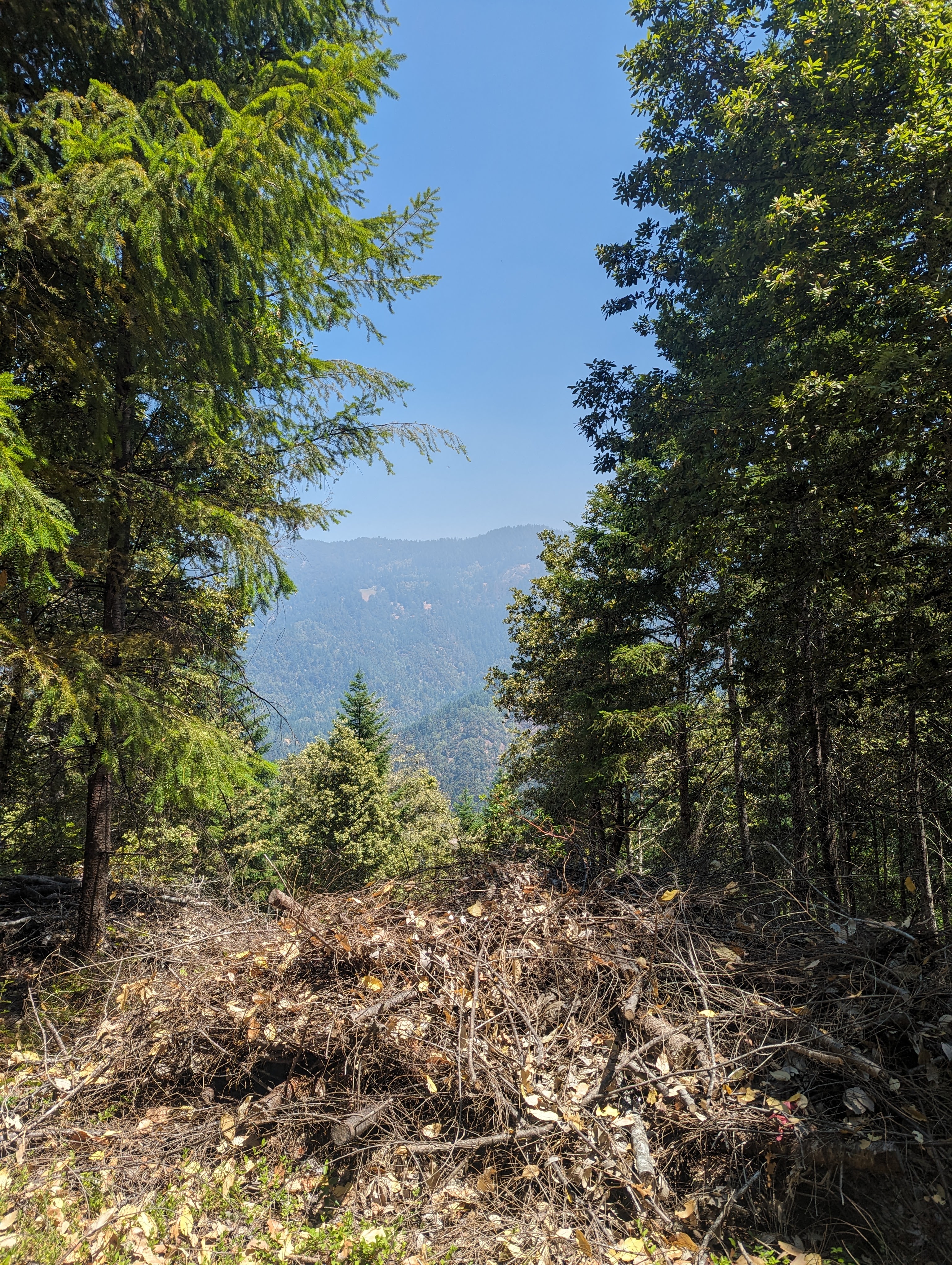
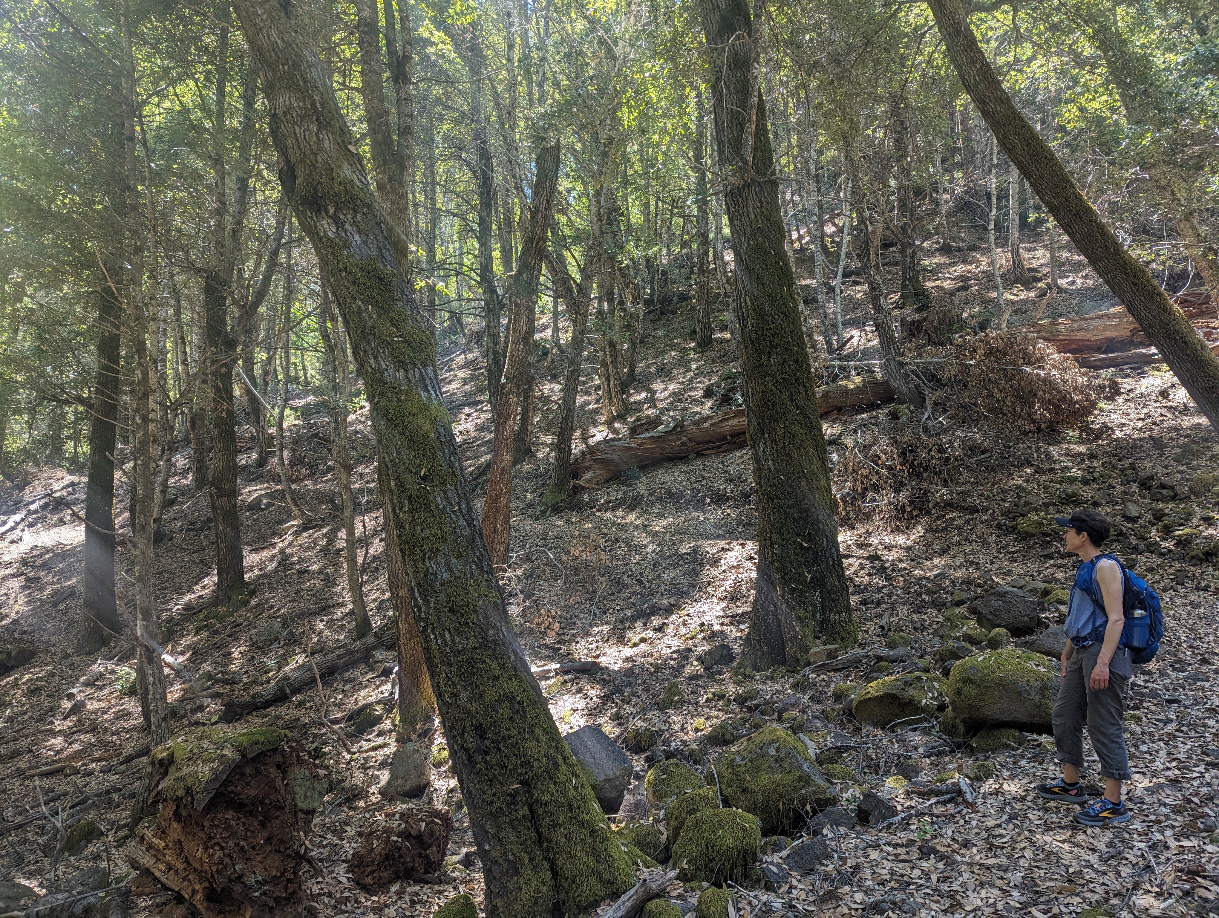
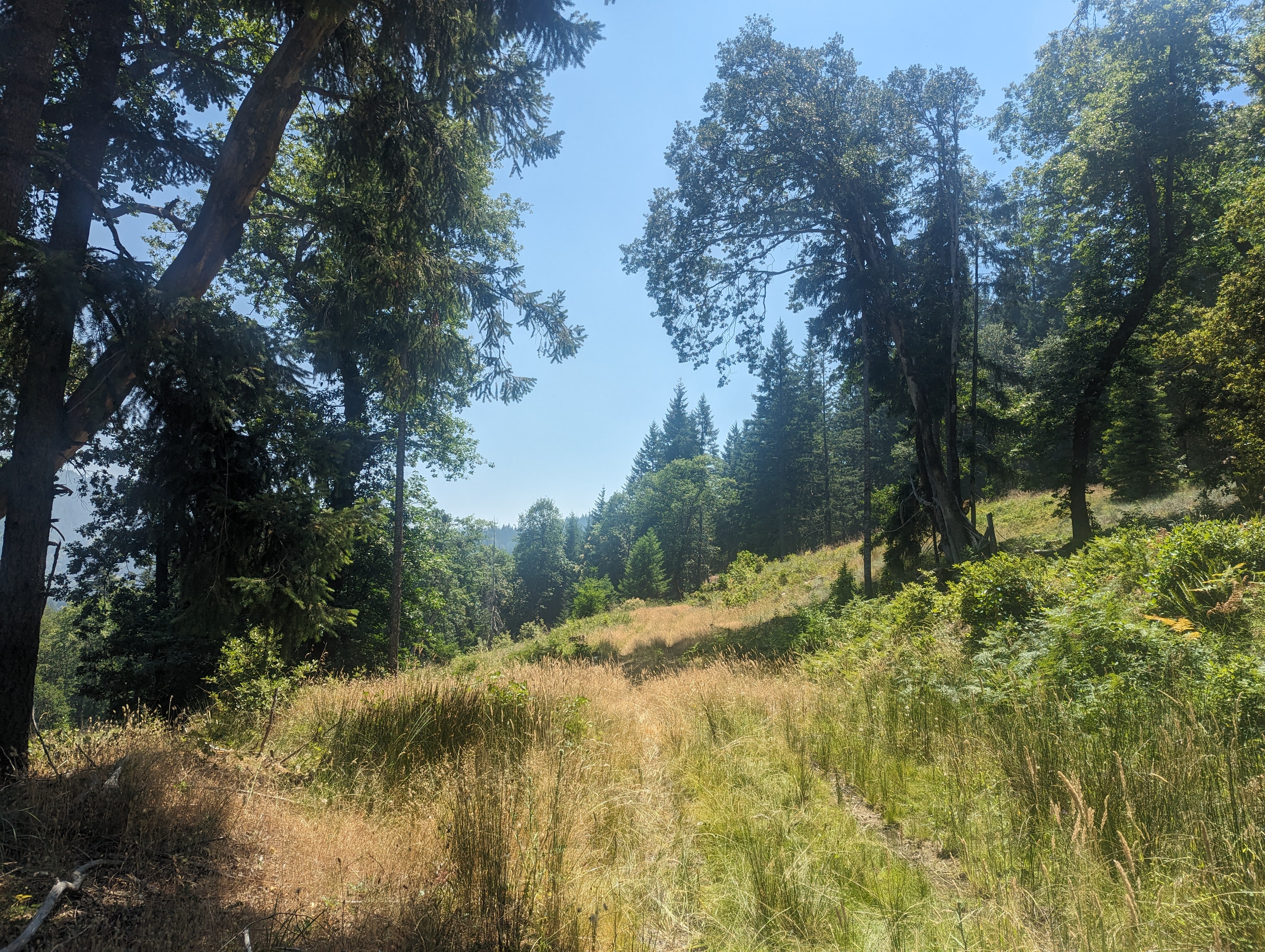
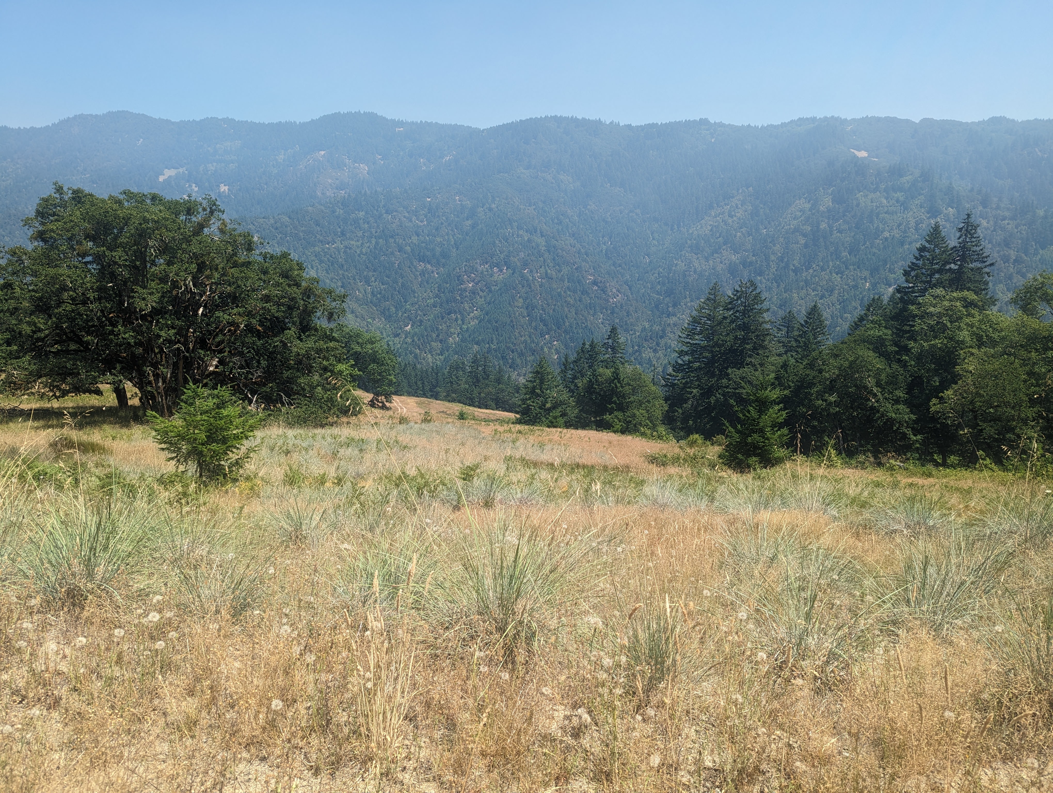
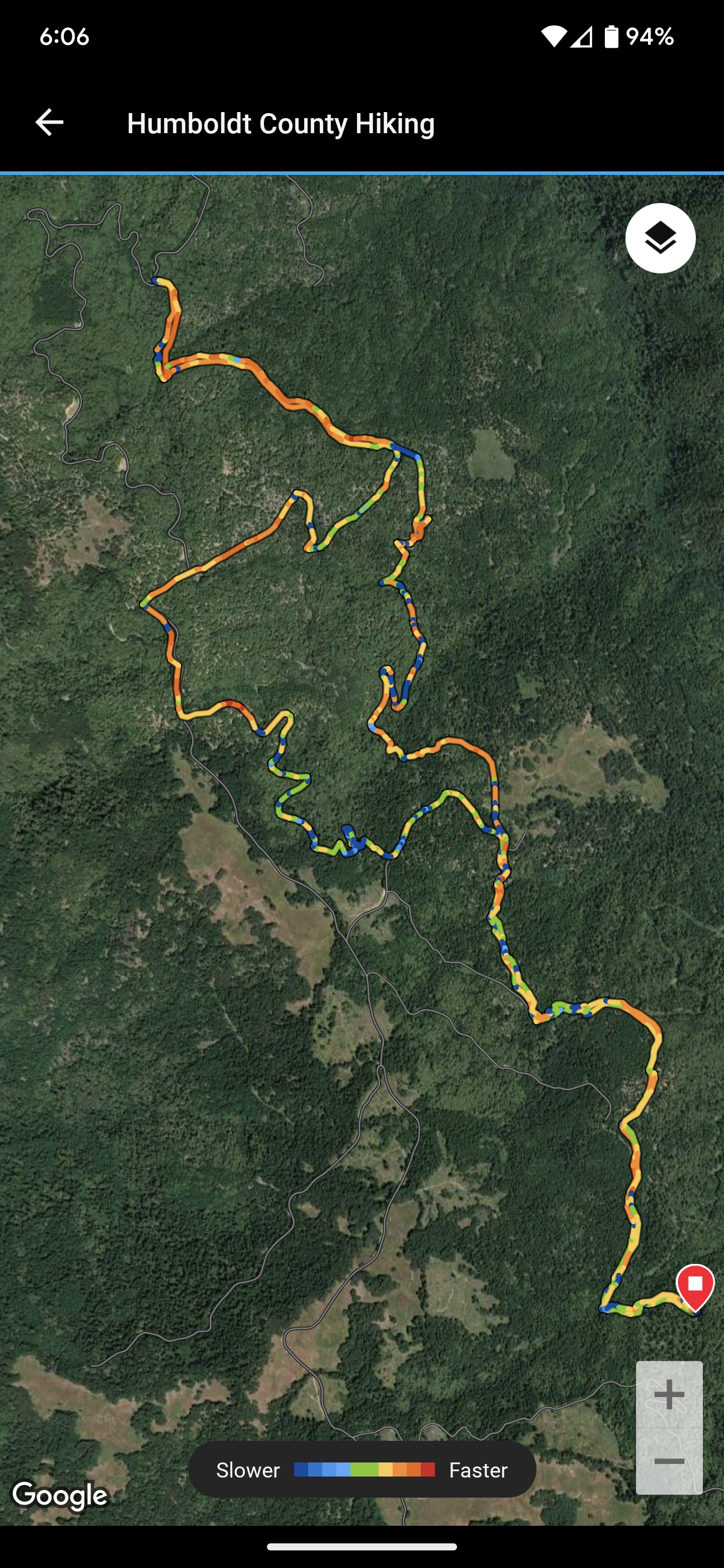
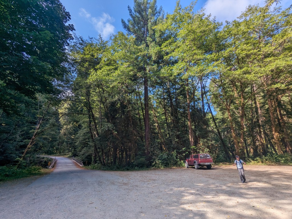
It’s nearly an hour’s drive from paved highway 299 to corrugated dirt pack road to 4wd crawl. The parking lot is empty and we have the place to ourselves. The mixed conifer forest has a warm, sweet smell with a hint of smoke that fills the air. The trail connects to a road and climbs steadily before turning off from the road and quickly disappearing. We scramble up and down looking for any hint of trail while finding loads of bear evidence. We finally trace back and find a faint trail that climbs uphill and we follow this to a ridge top road. The road reaches a signed junction and there’s a very loud and ominous crashing noise in the brush just ahead. We quickly follow the sign to Round Prairie and descend steeply to another road junction. There is uncertainty about our route but we turn uphill and follow a road to a shaded creek drainage. We sit and have lunch while discussing our location on the map. We tread north a bit farther but decide to turn around because at this point in the afternoon we should be hiking south back towards the trailhead. Passing the last road junction we descend steeply and manage to find the unmarked and very faint Round Prairie Trail. After pushing through some trees the faint trail emerges and we follow the contour along the side of the mountain. Part trail, part road we hike under oaks and through a small prairie while getting our best view of the day. The trail connects back to our original path and we push back to the trailhead through the heat of the afternoon.
After checking the recorded path for the day, it is apparent to see that in the haste to direct away from the obvious bear crashing through the forest, we took a right turn too early when we should have stayed high on Beaver Ridge.
The Lacks Creek Management Area is 8,673 acres of BLM managed public lands with 7,377 acres lying within the Lacks Creek watershed. The management area is surrounded by large private land timber holdings.


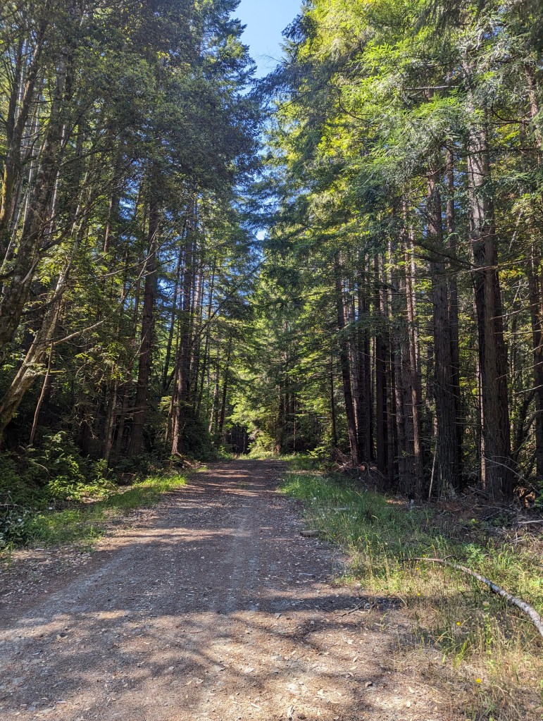
Arcata Community Forest * 10.41 miles
It’s always a good day to loop around and through the Arcata Community Forest. Sunny Brae’s Beith Creek Loop to the Arcata Ridge Trail for a great climb up and over Fickle Hill. Then Arcata Community Forest’s trails 13, 12, 17, 11, 8, 4, 9, 8, 12, 13 before crossing over Fickle Hill again. The goal was climbing and that we did. 2,328 ft. of climbing over 10.41 miles in 3h 50m.

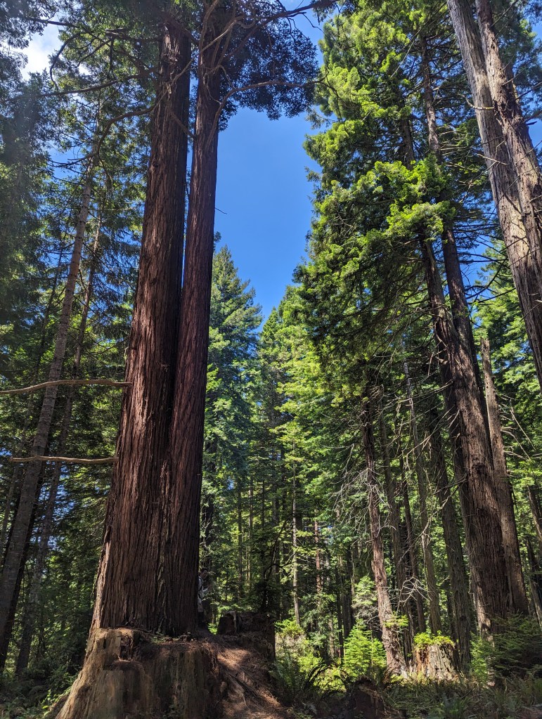
Humboldt Redwoods National Park * 14.39 miles
Tall Trees Loop and Redwood Creek * 5.87m
Lost Man Creek Trail * 8.52m
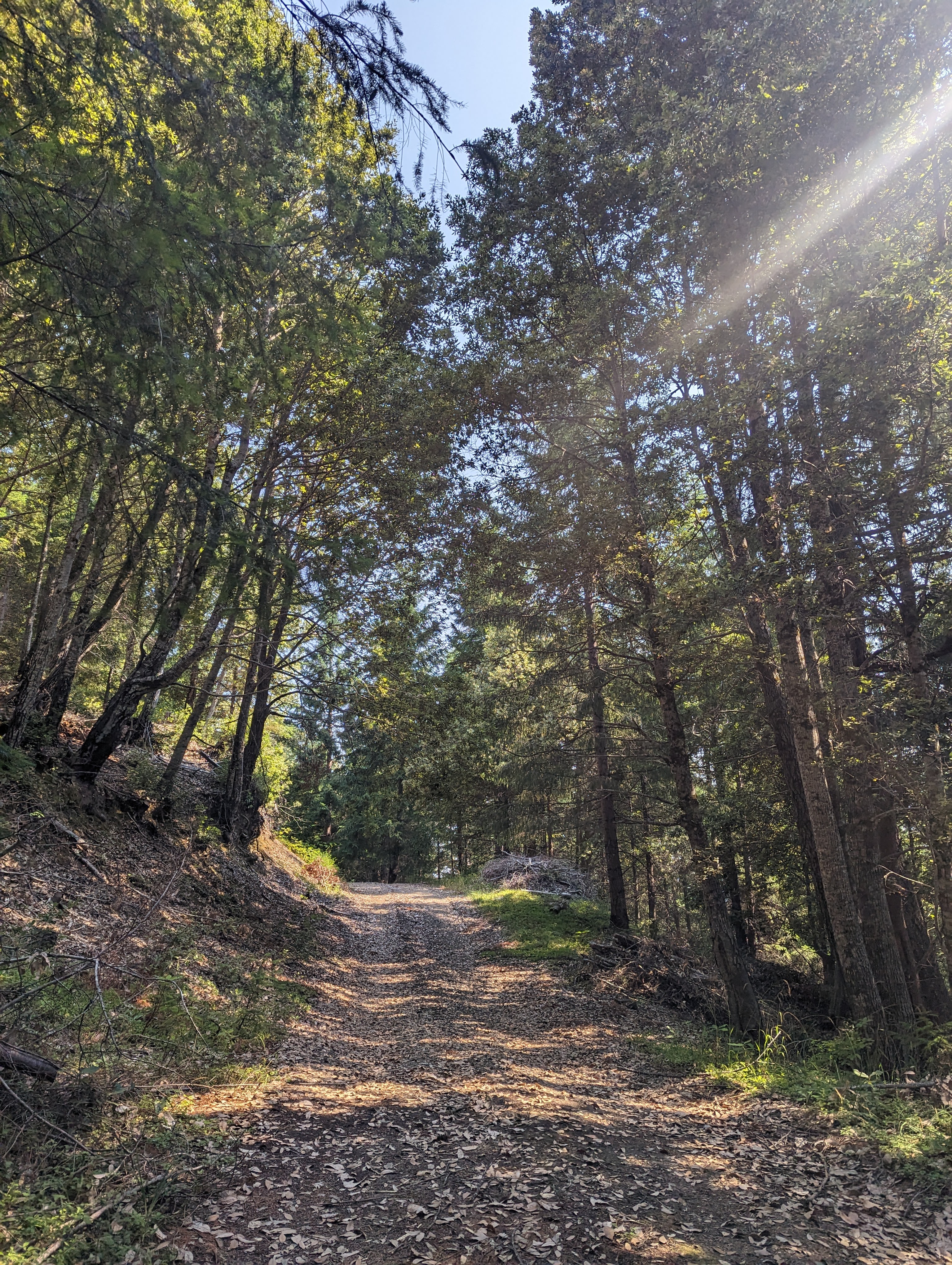
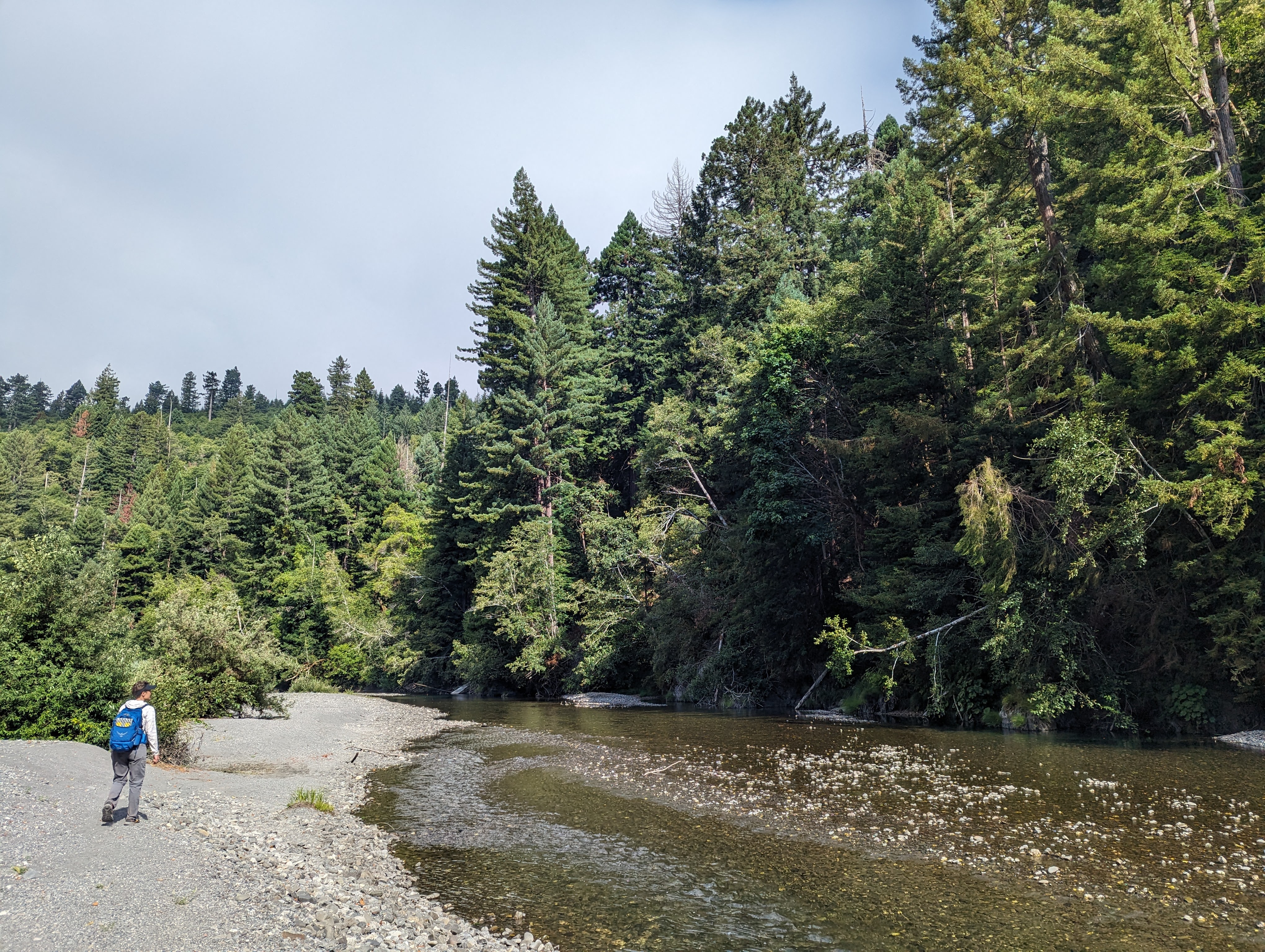
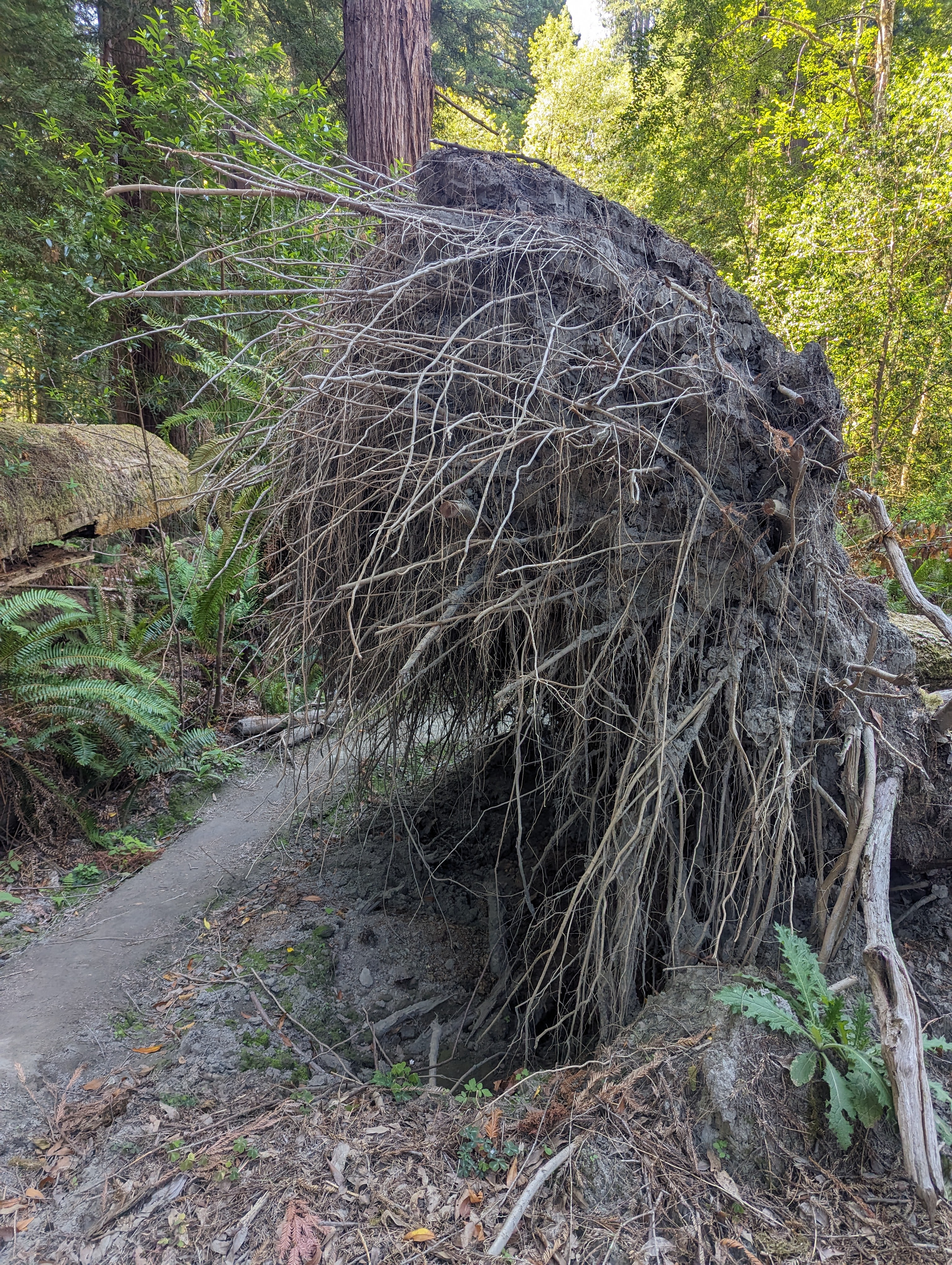
It’s a beautiful sunny morning to drive up the coast before turning into the forest on Bald Hills Road. The road is paved but it might as well not be because it’s the roughest road ever! We arrive at the Tall Trees access road and there’s a park ranger at the gate. After showing my permit info, we’re headed down the hard-pack gravel road (which is way smoother than Bald Hills Road) for a short drive to the trailhead. We drop about 750 ft. from the trailhead down to the Tall Trees grove which lies adjacent to Redwood Creek. We pop out and wander upstream looking to connect to our next trail. We wander downstream and retrace our steps back to the Tall Trees trail before deciding to turn around again and cross Redwood Creek. I keep my shoes on and wade across still in search of the next trail. I do finally spy a triangle trail sign high in the trees which points up the bank. We only go 10 steps before finding that the trails in either direction are absolutely blocked with blow downs and debris. We climb over a few trees before giving up and acknowledging that this is not going to work.
After another crossing of Redwood Creek, we have a snack while figuring out plan b. Looking for a scenic workout, we land on Lost Man Creek Trail starting from the bottom. But first, we gots to hike out of this tall tree business. We push the climb and get the sweat going before zipping down the road and back through the locked gate. Overall, a slow endeavor searching for trail with 5.87 miles in 3 hours. In an effort to have a smoother ride I accelerate downhill on Bald Hills Road and we only bounce and skid occasionally.


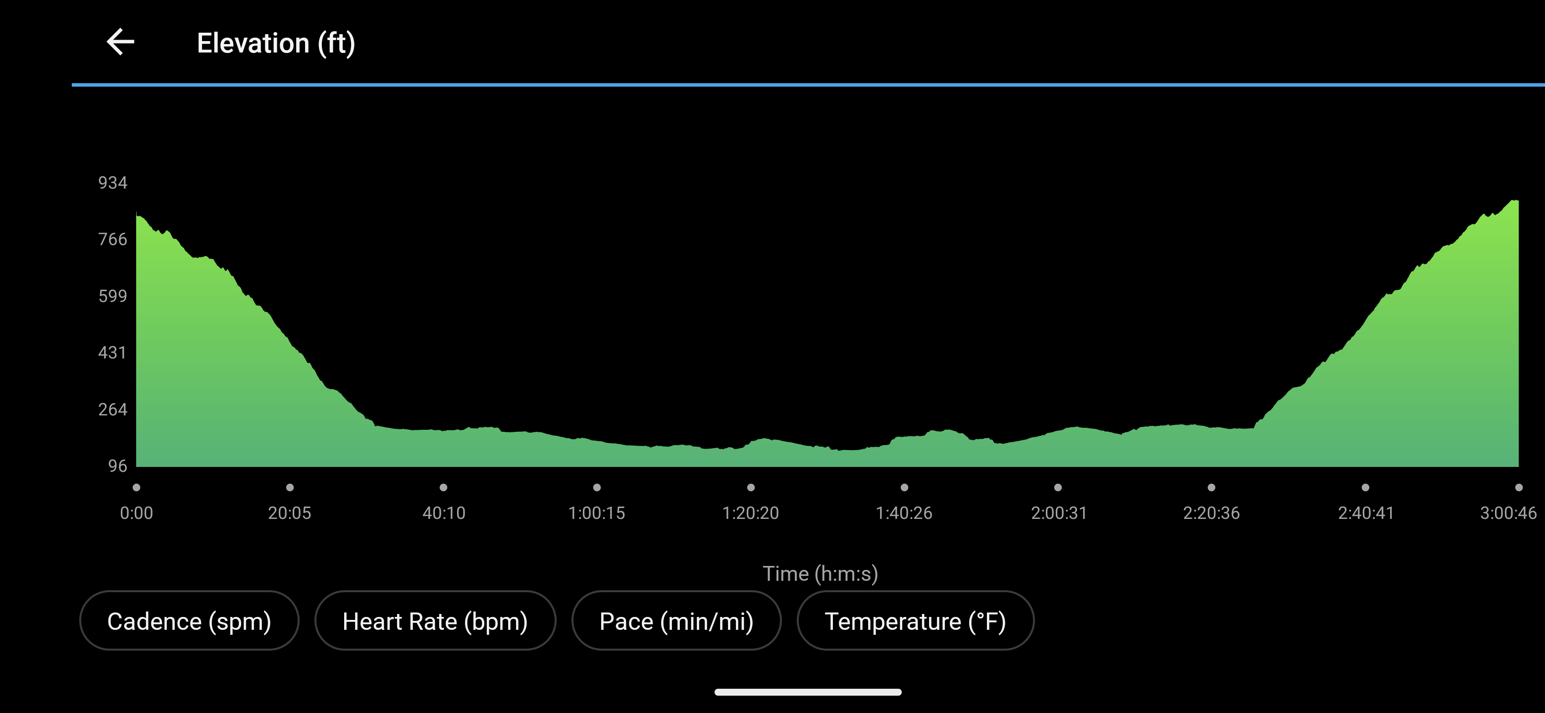
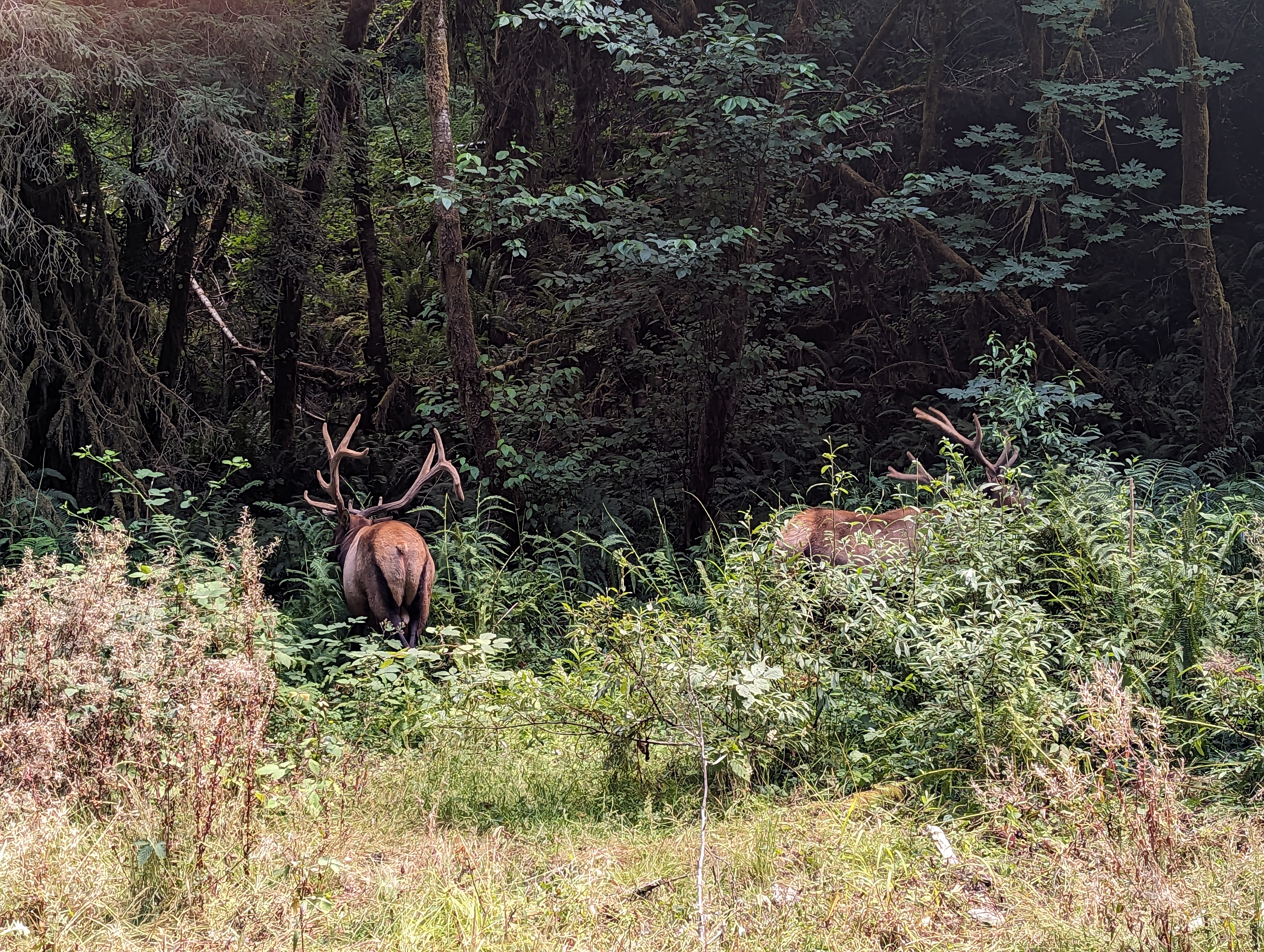
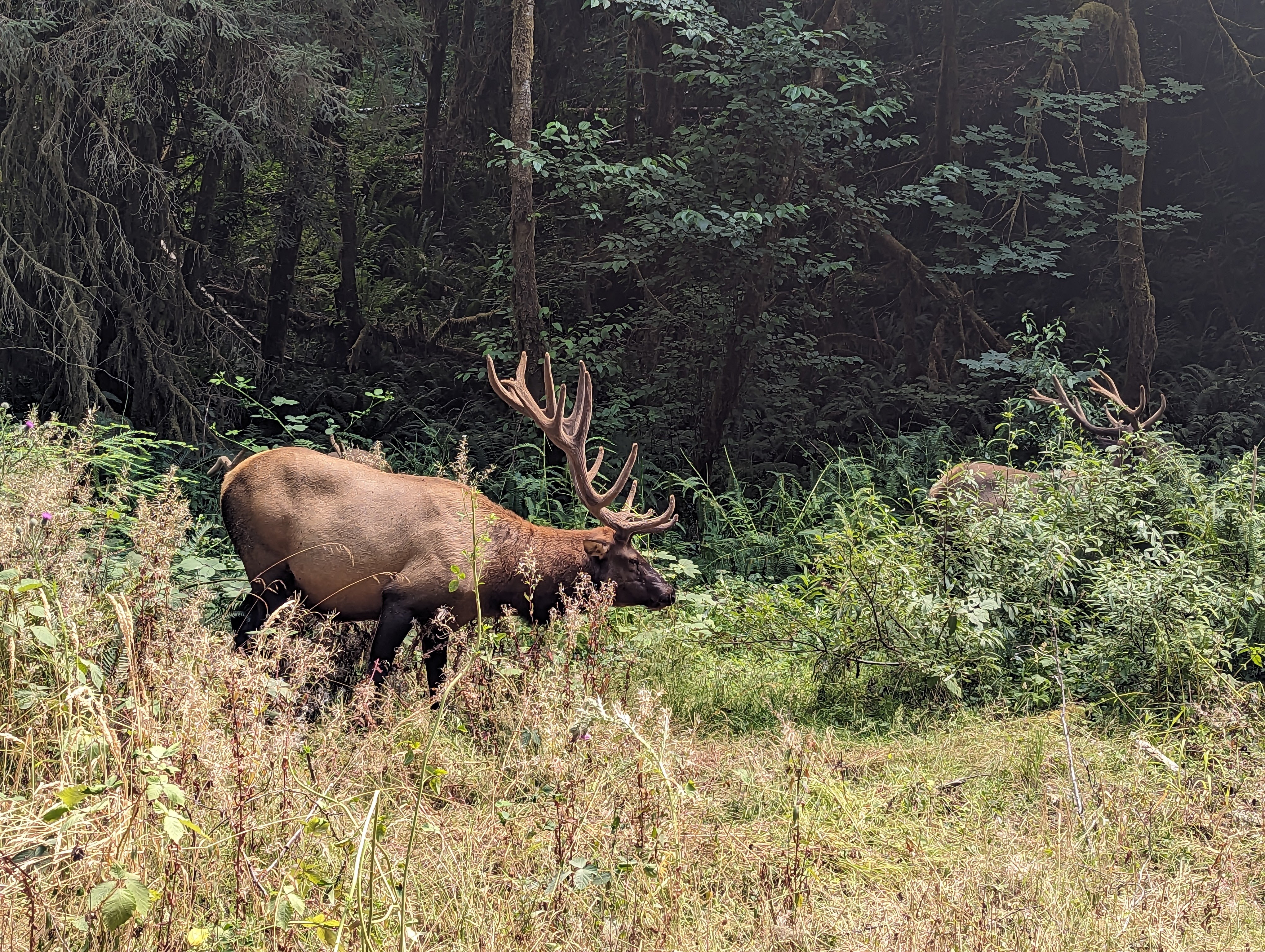
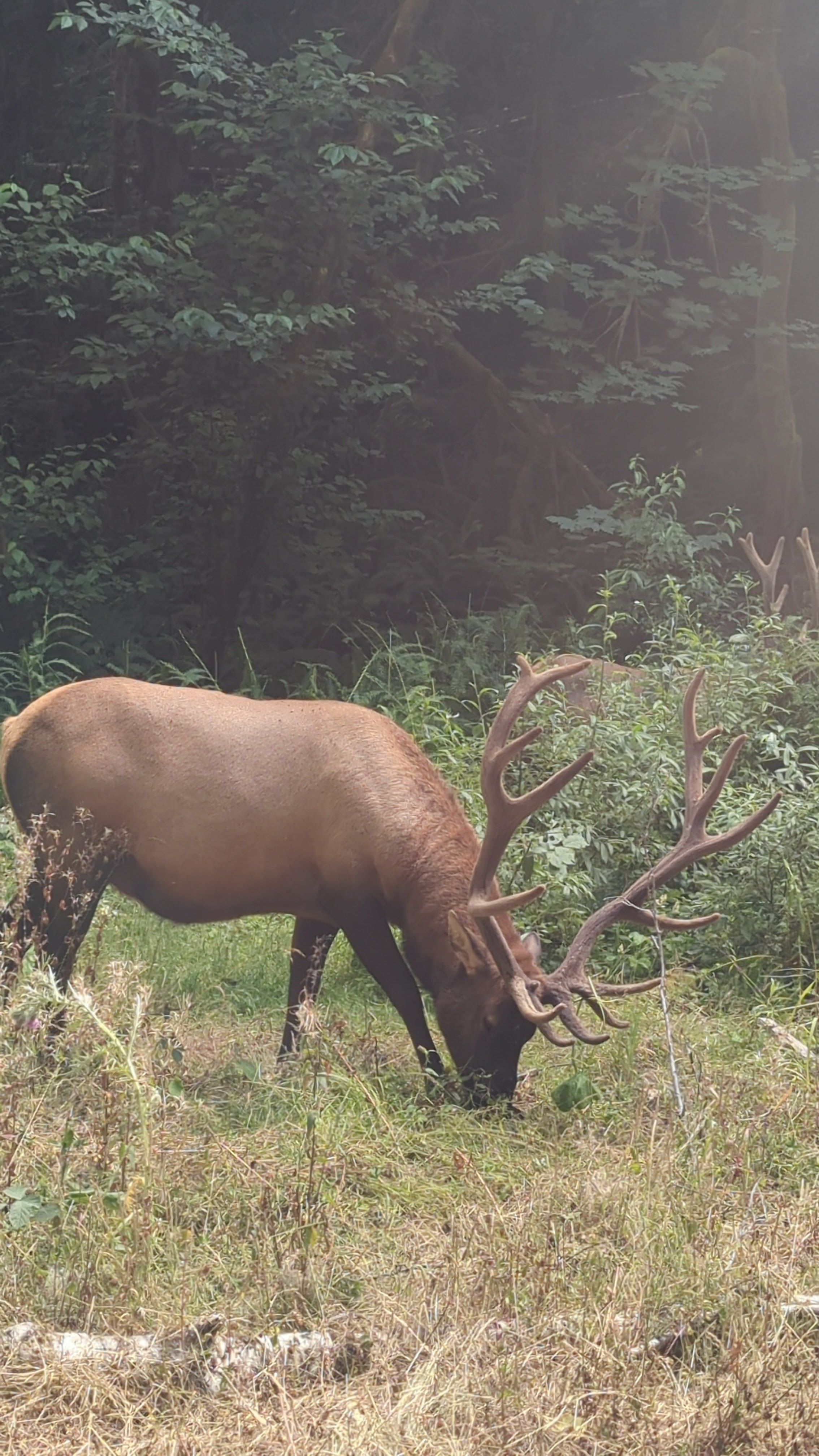
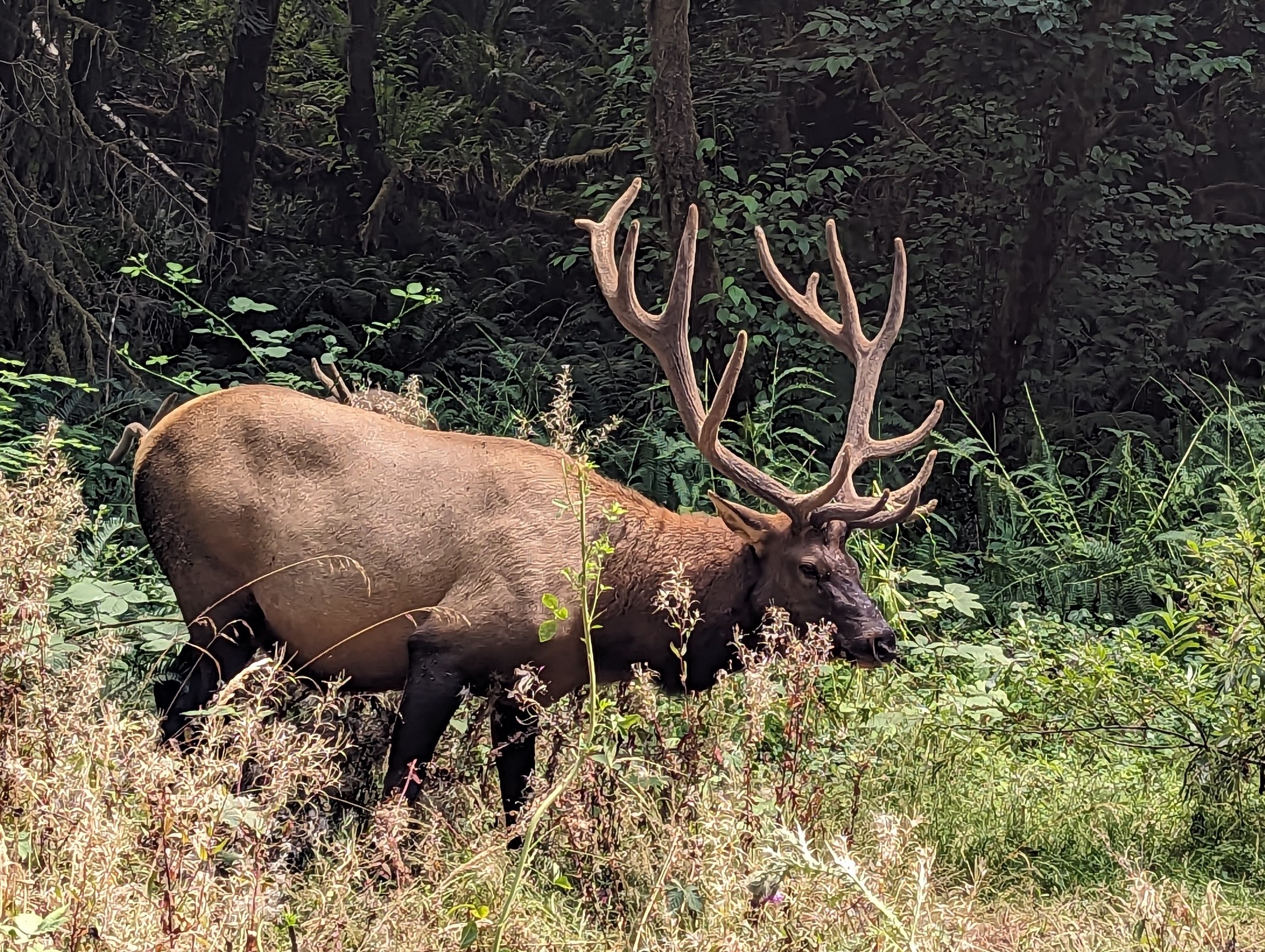
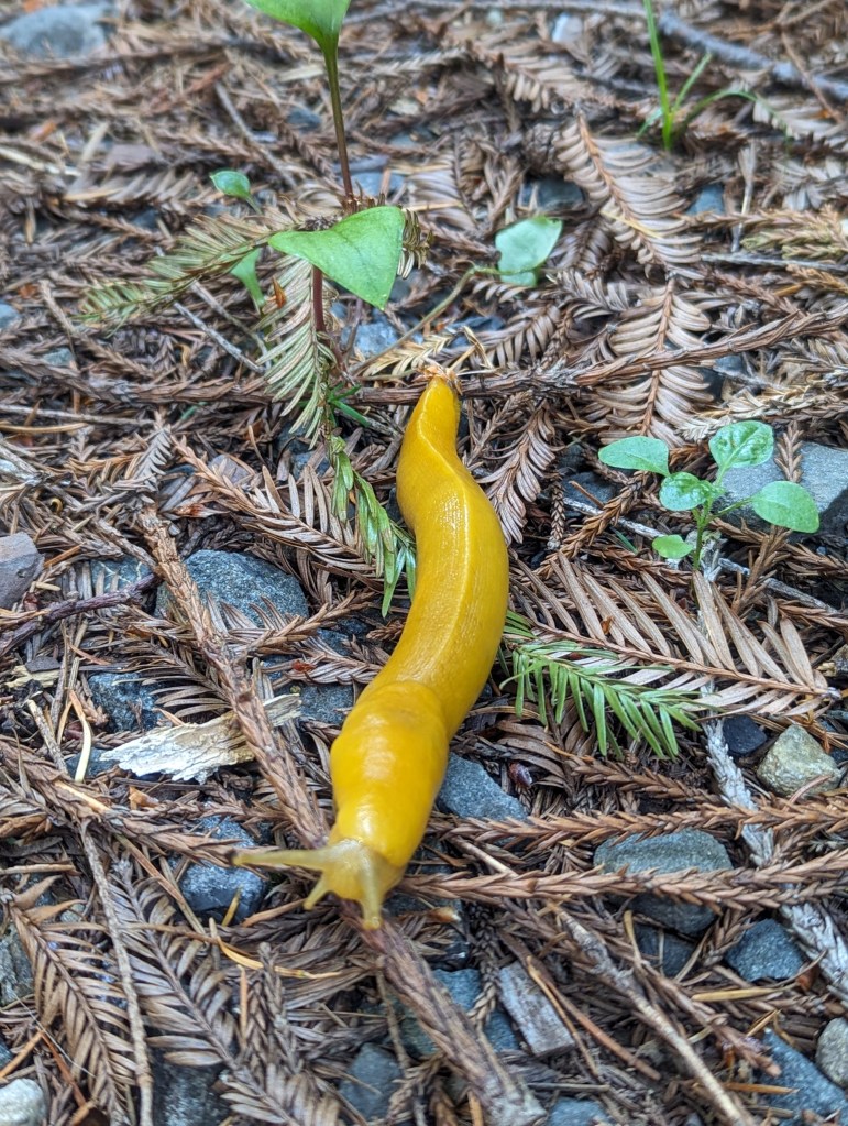
We pull into the Lost Man Creek trailhead and there are a few cars. We climb gradually for about a mile hiking alongside the stunning Lost Man Creek. We’re on the fresh trail of some elk and I expect to see them pop out from the brush at any second. As the road steepens the drops of sweat start to roll down my face. After a few miles, I absolutely have to eat something. We take a standing break while dancing to keep the mosquitoes away. Atop the ridge and just past the four mile mark, we give up on ever finding a view of the forest and mountains surrounding us and turn around. We tread down through the warm forest as we hear red crossbills flying overhead. We pass slugs and the creosote-smelling bridge before arriving back to an empty parking lot having cranked out 8.52 miles in 3h 10m. Today ends up being our longest day with a total of 14.39 miles and 2,319 ft. of climbing between the two hikes.


The grand finale is seeing these incredible Roosevelt Elk hanging out right next to the road leaving the Lost Man Creek Trailhead. Spectacular racks decorated with plant debris swing back and forth as we watch in awe. I keep my engine running just in case one of these big bulls decides he wants to come over for a closer look.