Monday, July 8
Prairie Creek Redwoods State Park
Redwood National and State Parks
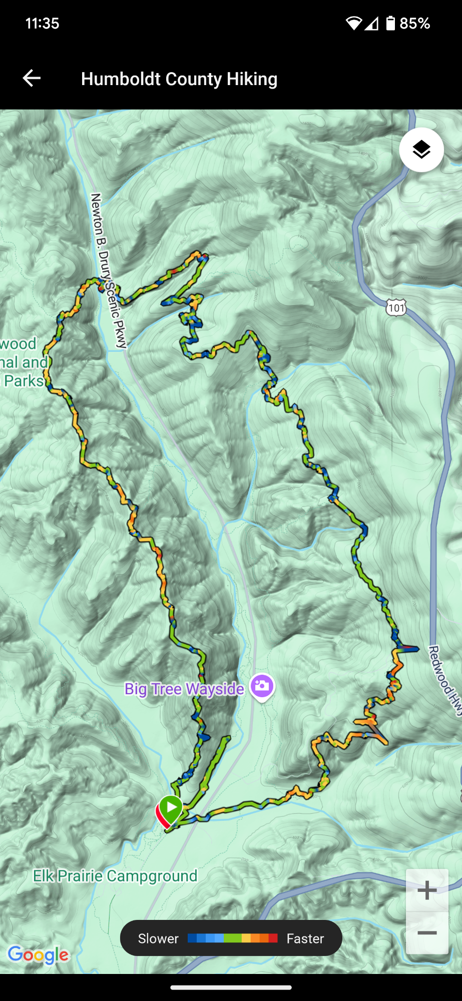
West Ridge Trail
Rhododendron Trail
~16 miles (my Garmin watch added a bunch of miles)
2,871′ ascent
2,914 descent
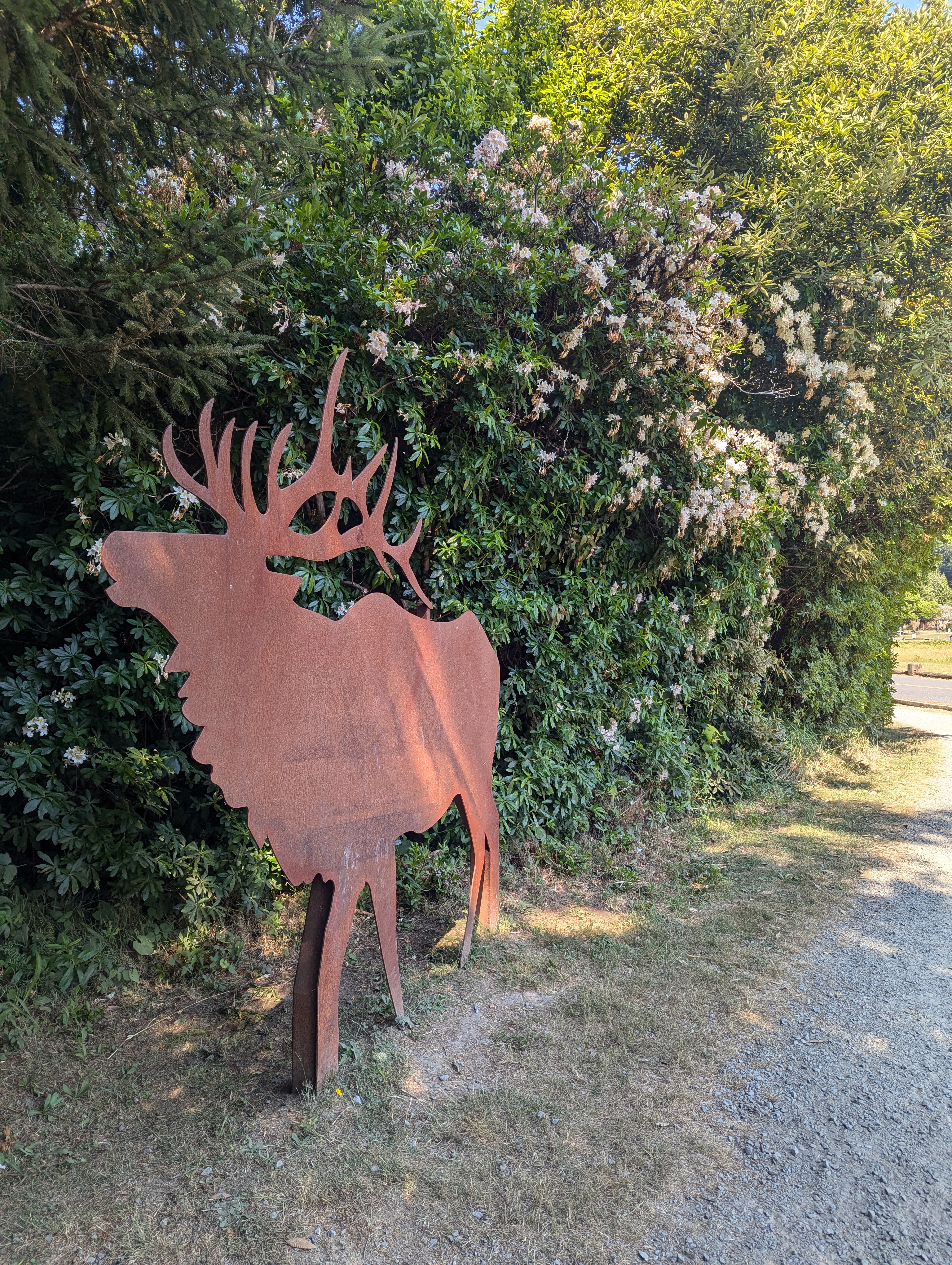
Unceded lands of the Yurok Tribe
We’re on trail by 9 am and while deep into conversation, fork onto the Knapp Trail. It’s takes me at least 10 minutes to realize that we should have been climbing. I check the map and realize that we forked onto the Knapp instead of connecting to the West Ridge Trail. We retrace our steps until we are finally climbing up the West Ridge Trail.

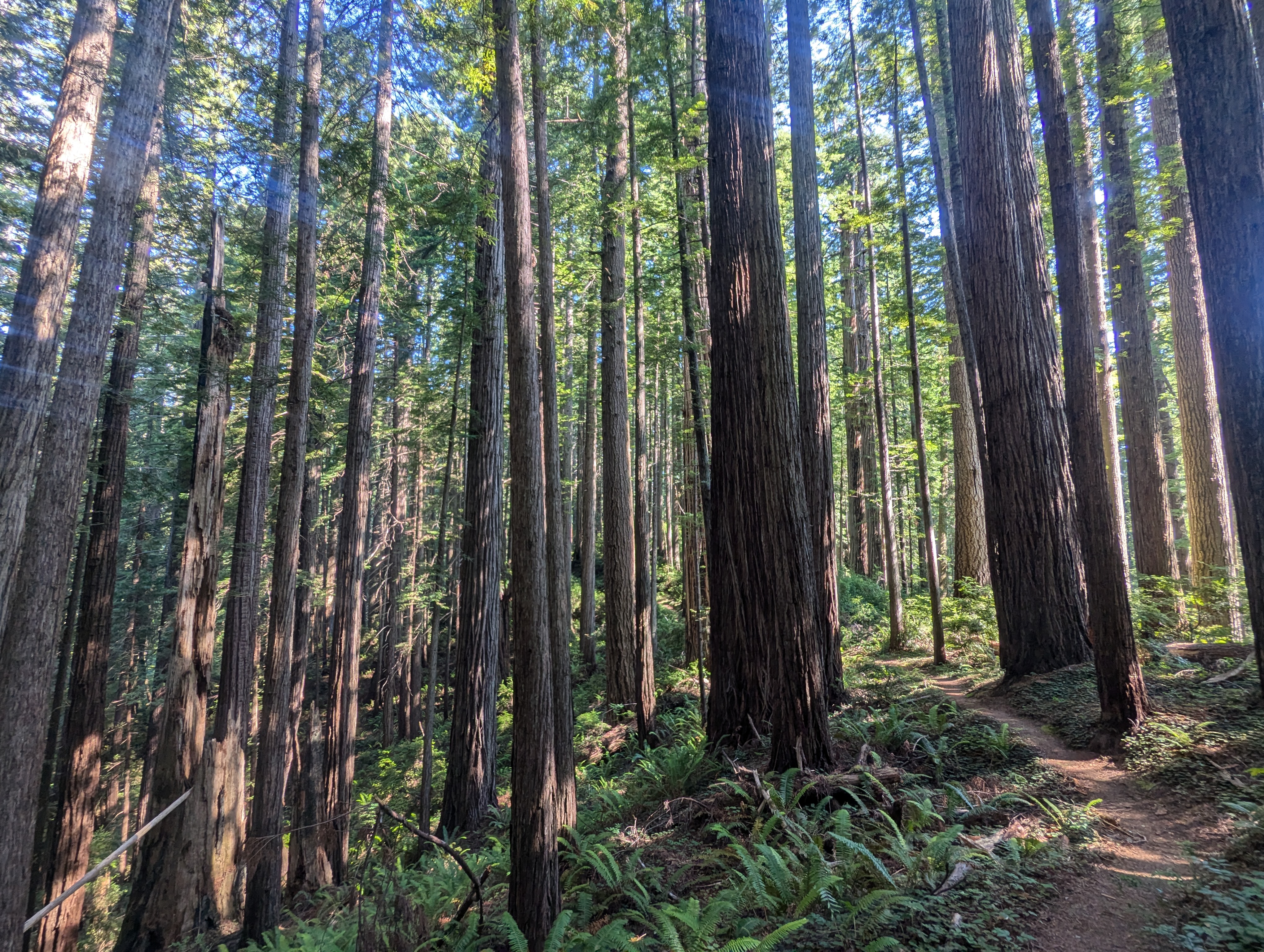

West Ridge is a beautiful trail that seems to not get much use. We don’t see another person as we bob along the ridge top. We pass Zig Zag #1, continuing on West Ridge until we meet the Zig Zag #2 junction. We drop down Zig Zig #2 and hit the Drury Parkway at almost noon. We cross the road to the start of the Rhododendron Trail. There’s an interpretive sign with a map that shows the Rhododendron Trail being nine miles long. Well dang, we better get moving!


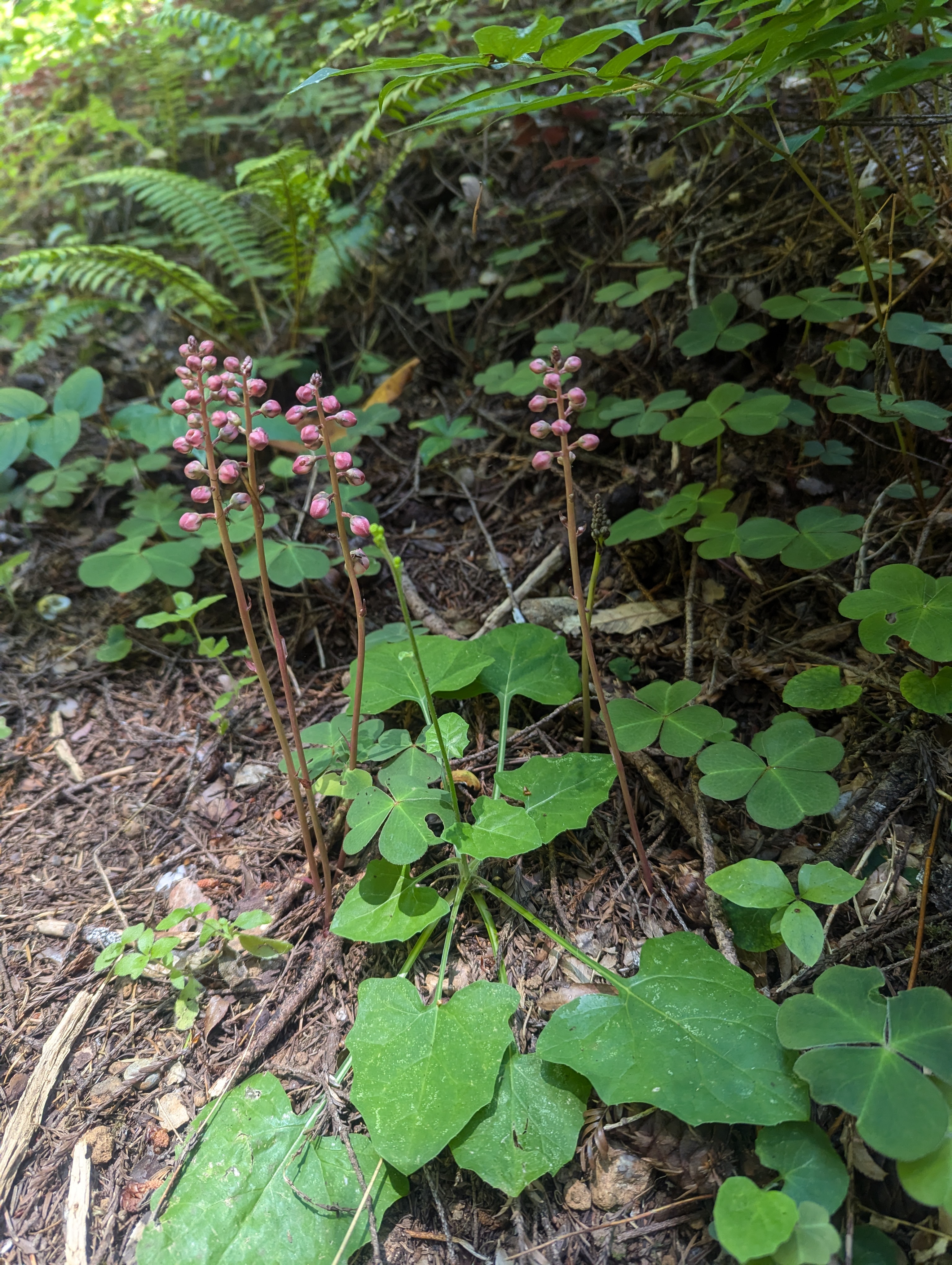
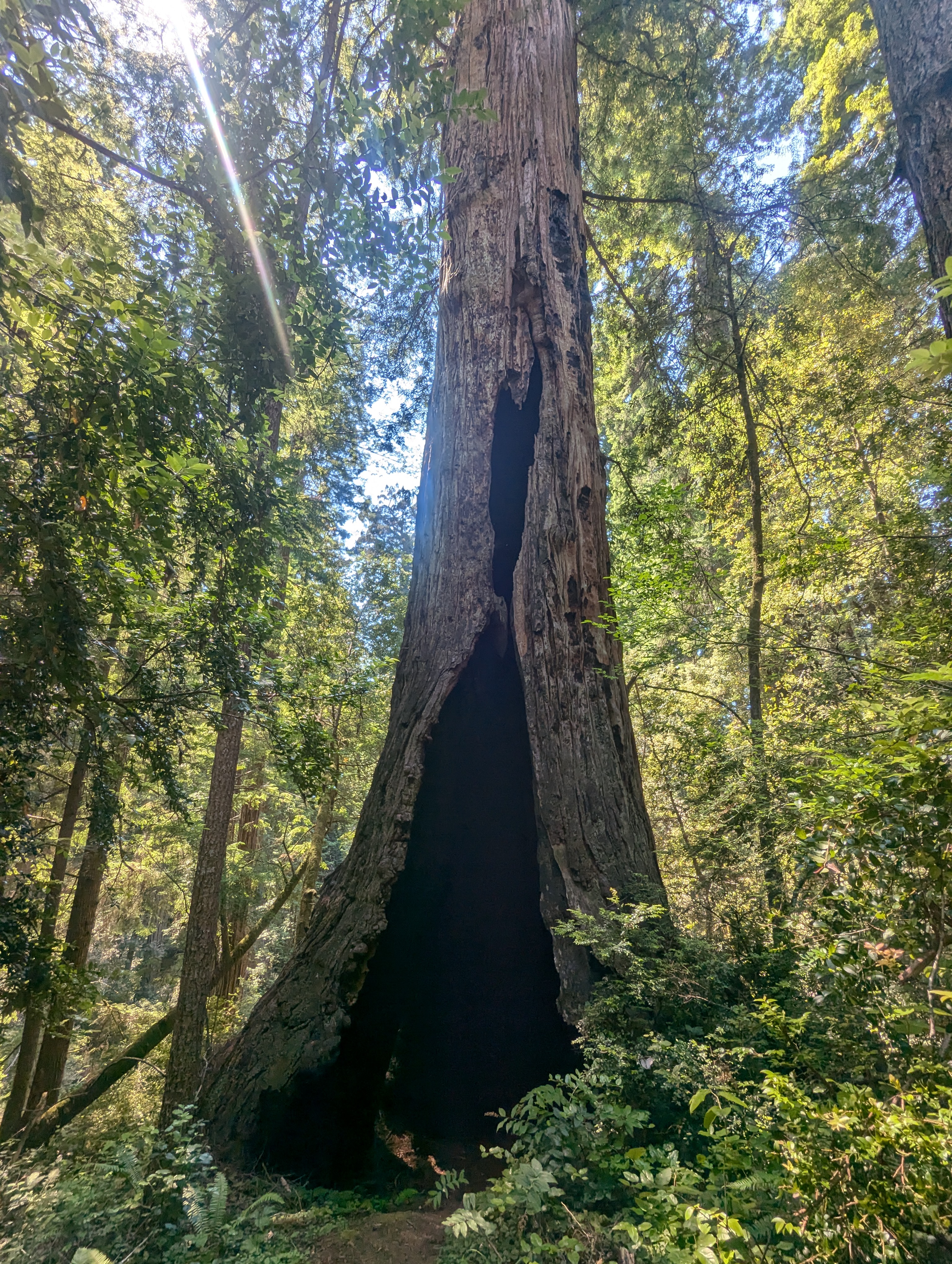
We hike for about a half hour before passing the CREA Trail junction. We even find a few rhododendrons still blooming. Sometimes the trail is across the top of a fallen log. After a full hour since the road, we start to look for a lunch spot. The forest is steep and dense. I sit right in the middle of the trail for lunch since we’re the only ones out here.


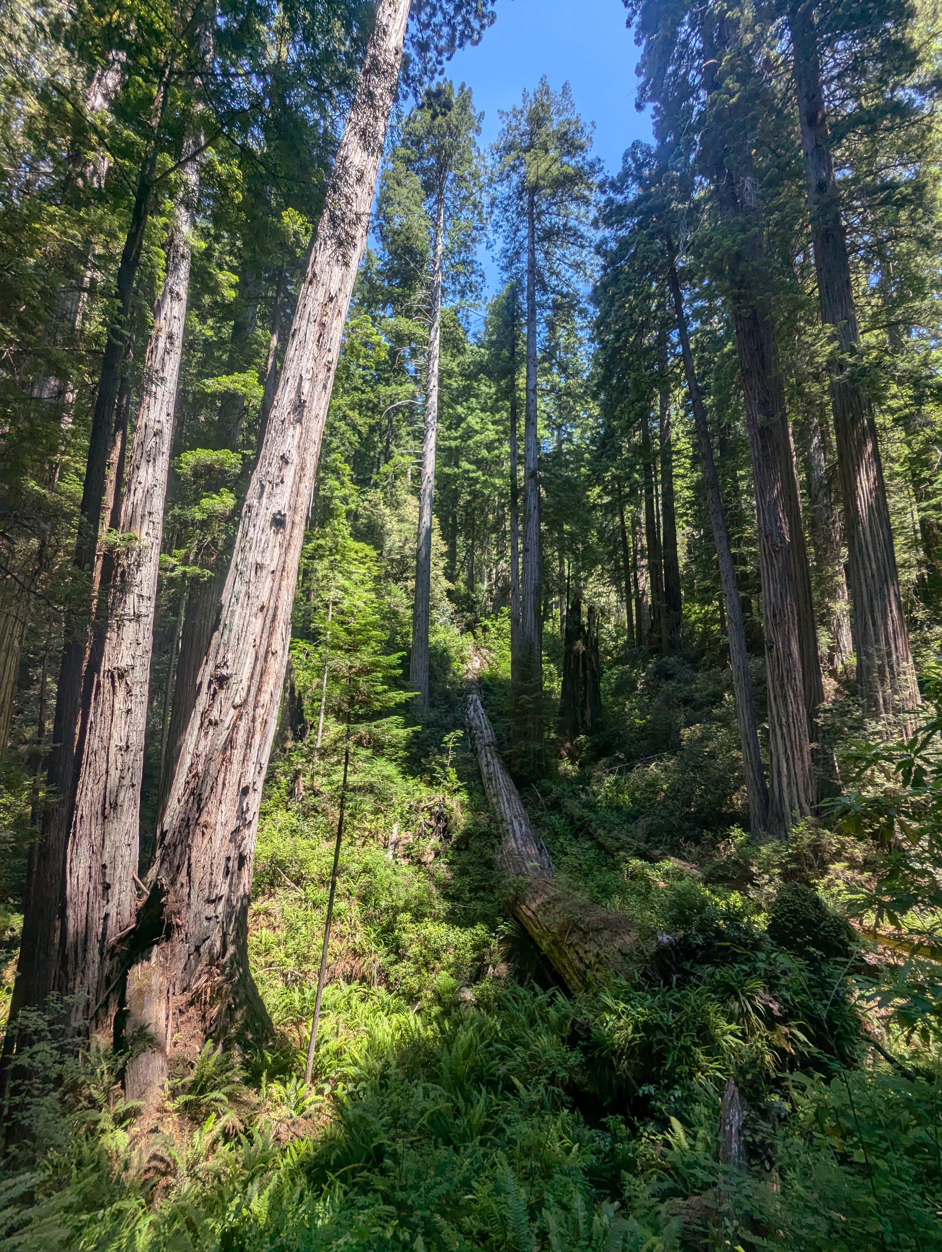
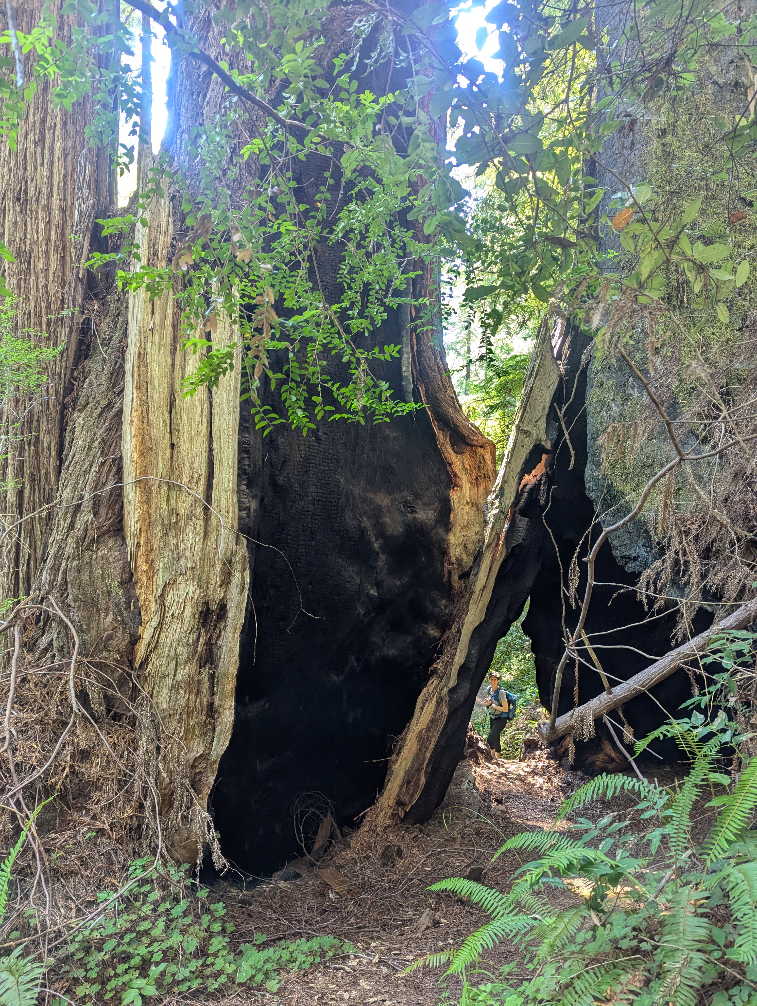
We pass the Brown Creek Trail junction and decide to stick with the Rhododendron Trail. This trail definitely doesn’t get a lot of foot traffic and is somewhat overgrown. Trekking poles are a huge help maneuvering the hidden and often uneven and rooted trail. Erin is a superhero and takes the lead cutting through the endless cobwebs.

Just before the South Fork Trail junction, we meet three people who are fresh from the trailhead. They seem unprepared for this kind of hiking. It’s about 3 pm when we hit the junction with the South Fork Trail. It’s getting late and we could bail on the South Fork Trail, but Erin and I decide to push on.


As the heat and sun bear down on us, we hike as fast as we can. There’s no cell service otherwise we would communicate with the outside world that we’re running quite a bit behind schedule. My Garmin watch says that we’ve hiked a ton of miles so it’s hard to know how many more we actually have. We’re still climbing and wedging ourselves through and under trees. I take my last swig of water at a little creeklet. I push past some ferns and hunch under a log to collect ice cold water into my empty bottle. At least I’ll have some water just in case this trail never ends or if we get abducted again. I refresh myself by splashing some cool water onto my face and arms.


After crossing the Cal Barrel Road we climb briefly before descending sharply over the next hour. Finally, the Rhododendron Trail seems to connect with the Cathedral Trees Trail and the visitor center is .2 miles away. We cross under the Drury Parkway alongside the Boyes Creek. Erin climbs the big steps and makes a comment about them. Next thing I know, I’m face down in the dirt atop one of the steps. After catching my toe on the step, I get an up close and personal look. Luckily all is well and we have a good laugh over the whole thing. Unfortunately, I pop up before she can get a picture of me splayed out in the dirt. We finally arrive back at the car about 4:30 pm. It’s not until we’re passing through Orick that I can let folks know that we are on our way home. Our inability to communicate with the outside world is a good reminder for me to get my gifted Garmin Inreach activated.