Monday, July 22
Humboldt Redwoods State Park
unmarked trailhead just before Harper Creek
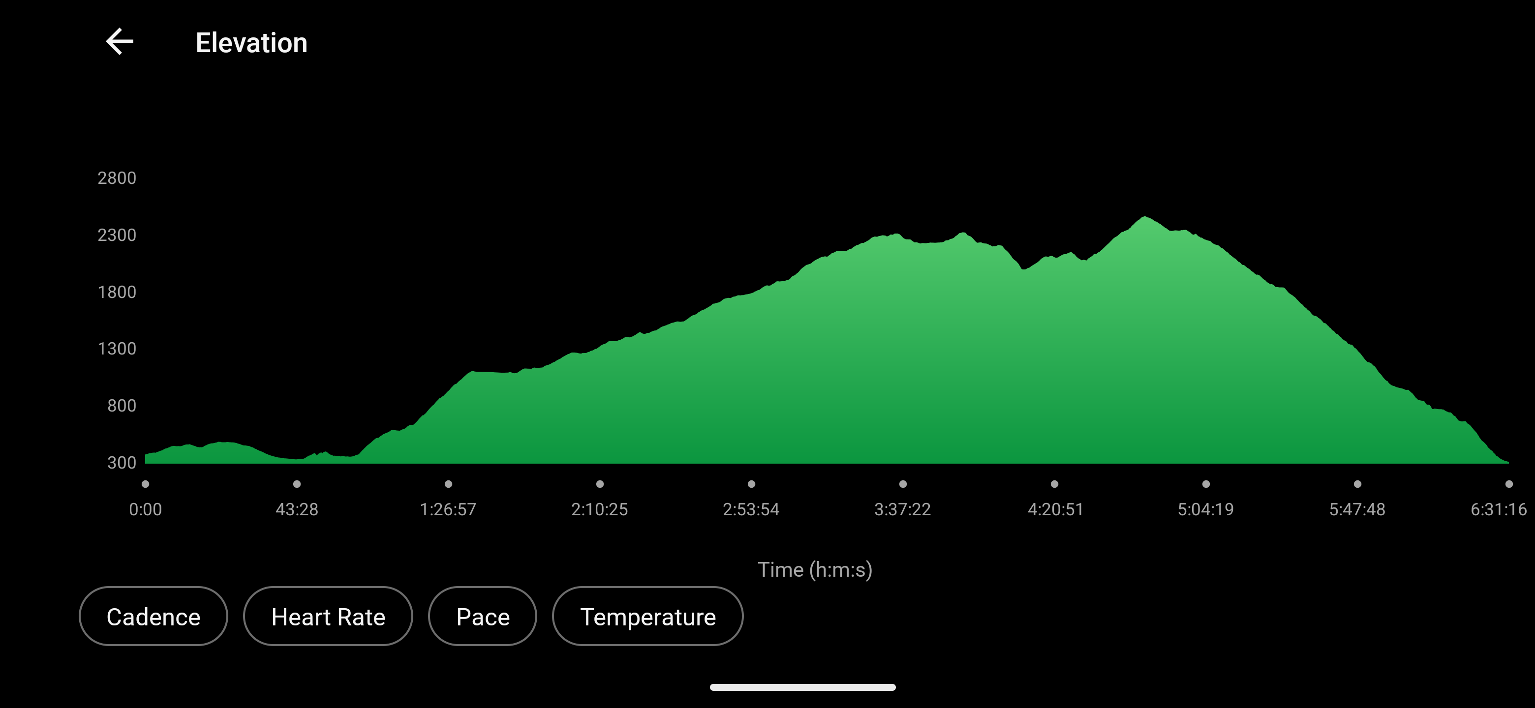
14.58 miles
2,901′ ascent
2,976′ descent
Peavine Ridge highpoint 2,474′
Unceded lands of the Sinkyone peoples
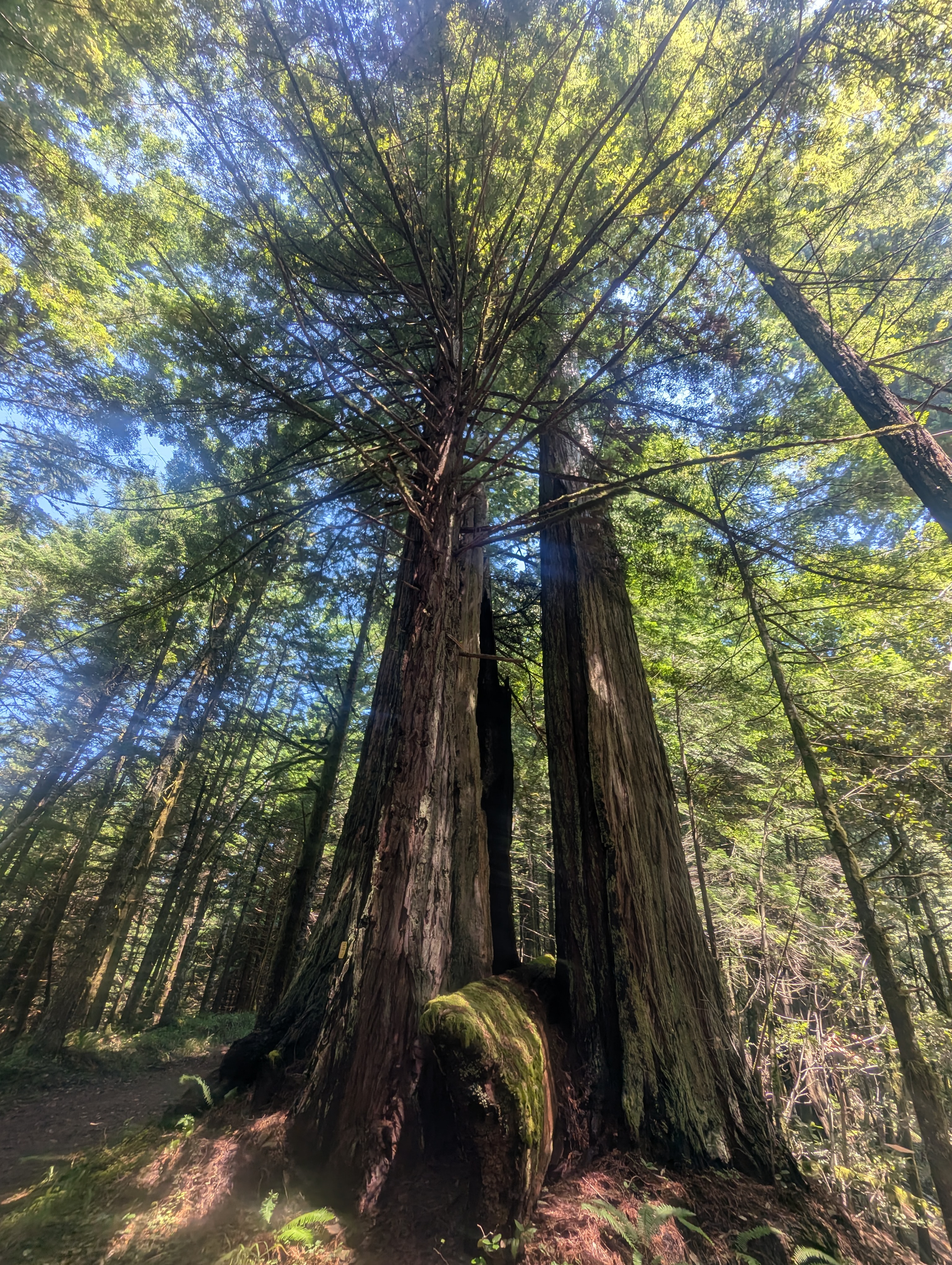
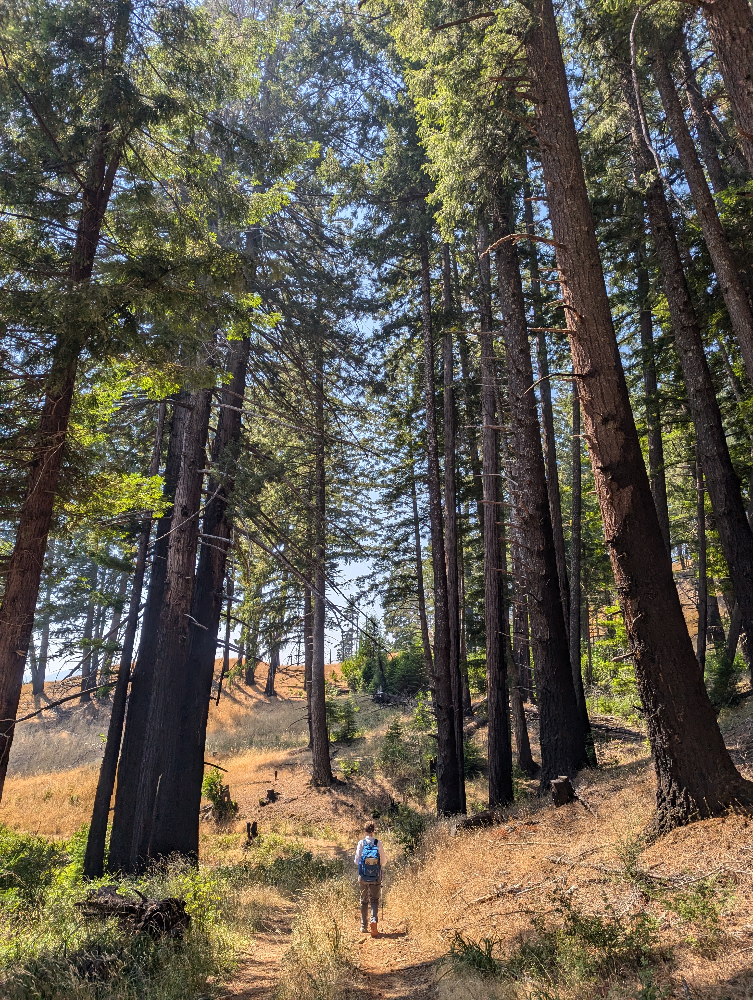
We swipe at a few mosquitoes as we start off on the Homestead Trail at 8:30am. It’s gentle rolling terrain through old-growth redwoods all the way to Albee Campground. We’re just uphill from the Mattole Road and can hear the occasional car drive by.


In hindsight, I needed to use a bit more care in navigating the mazes around the Albee Campground. I follow the signs for the Homestead Trail and we arrive at a large, dry meadow filled with ancient fruit trees. Campers are up and sitting around their tables having breakfast. Squirrels dart back and forth while a couple giant bucks balance on their hind legs helping themselves to apples high in the trees.
We circle around, crossing paths with a young couple looking for birds. As we arrive back at the edge of the forest we find a closed trail sign. I opt to ignore the sign and forge ahead. We come to a short bridge that is in mid-construction. We depart from the trail and head cross-country. We drop into the backside of a camping spot which luckily is not occupied. We get on the paved campground road and follow it back to the nice bathrooms near the entrance. Ok, that was fun but probably added at least 30 minutes to our day.


After getting some creeper vibes from a kid sitting way too close to my backpack at the bathroom, I check the map on the interpretive board. I see a road heading away from the front of the campground and that must be our pathway. We climb steeply up through the warm forest before connecting to long switchbacks that cross through open meadows.

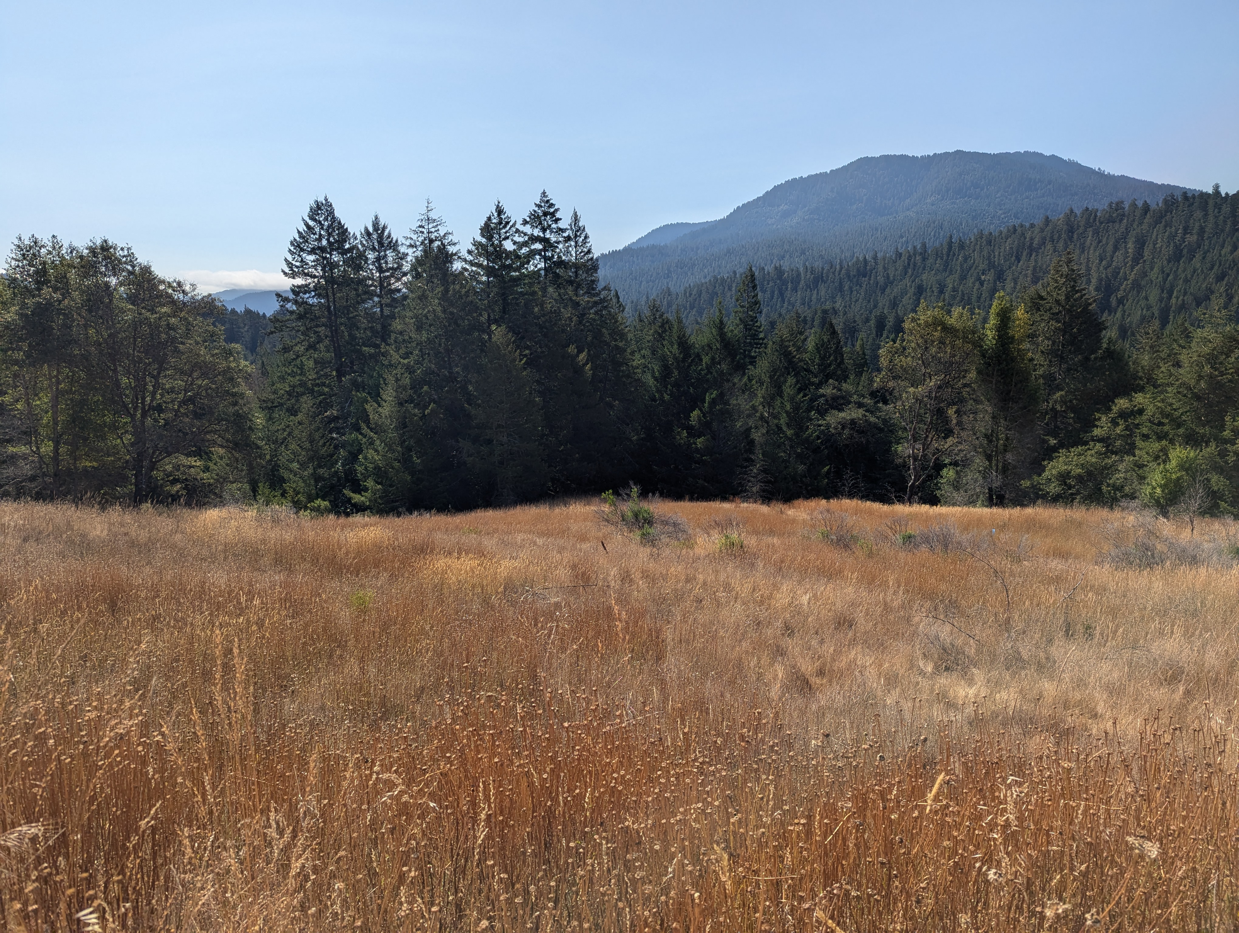
Looking South towards last week’s Grasshopper Peak with some fog still hanging in the valleys.

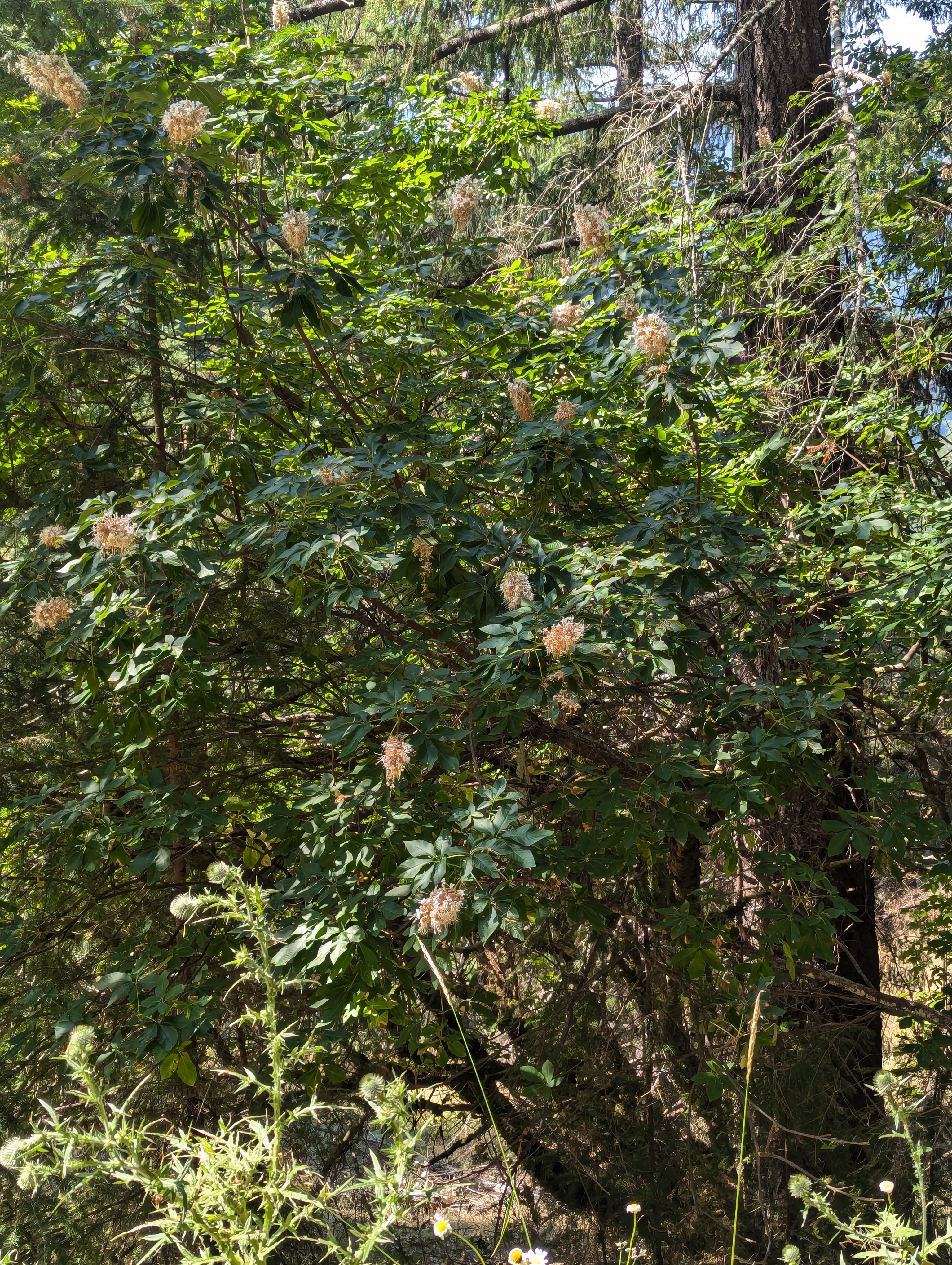
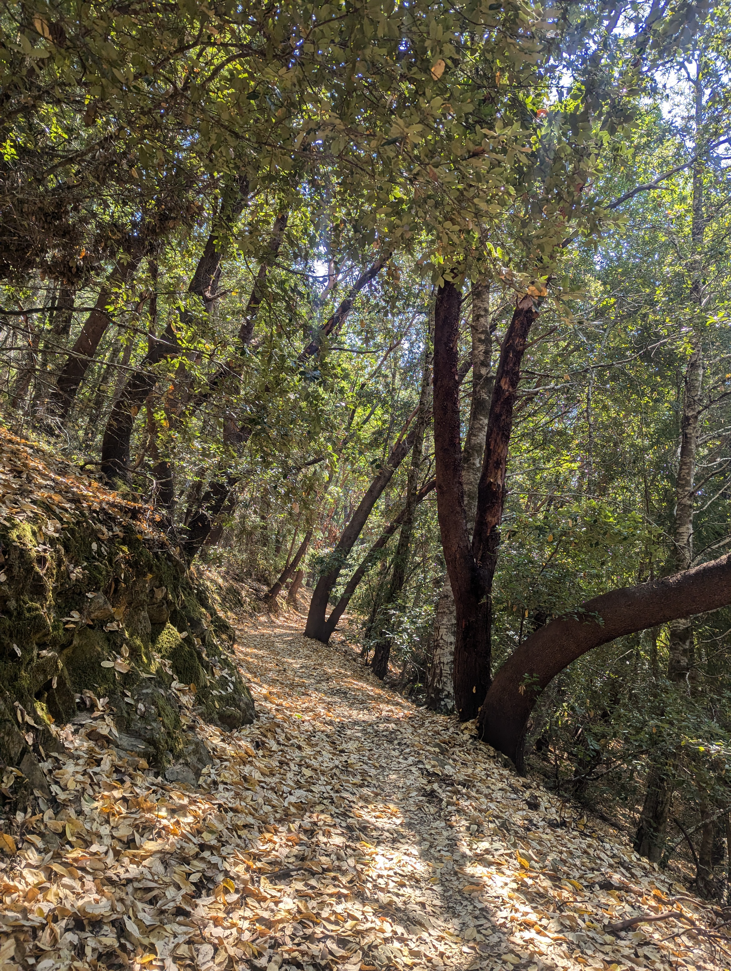
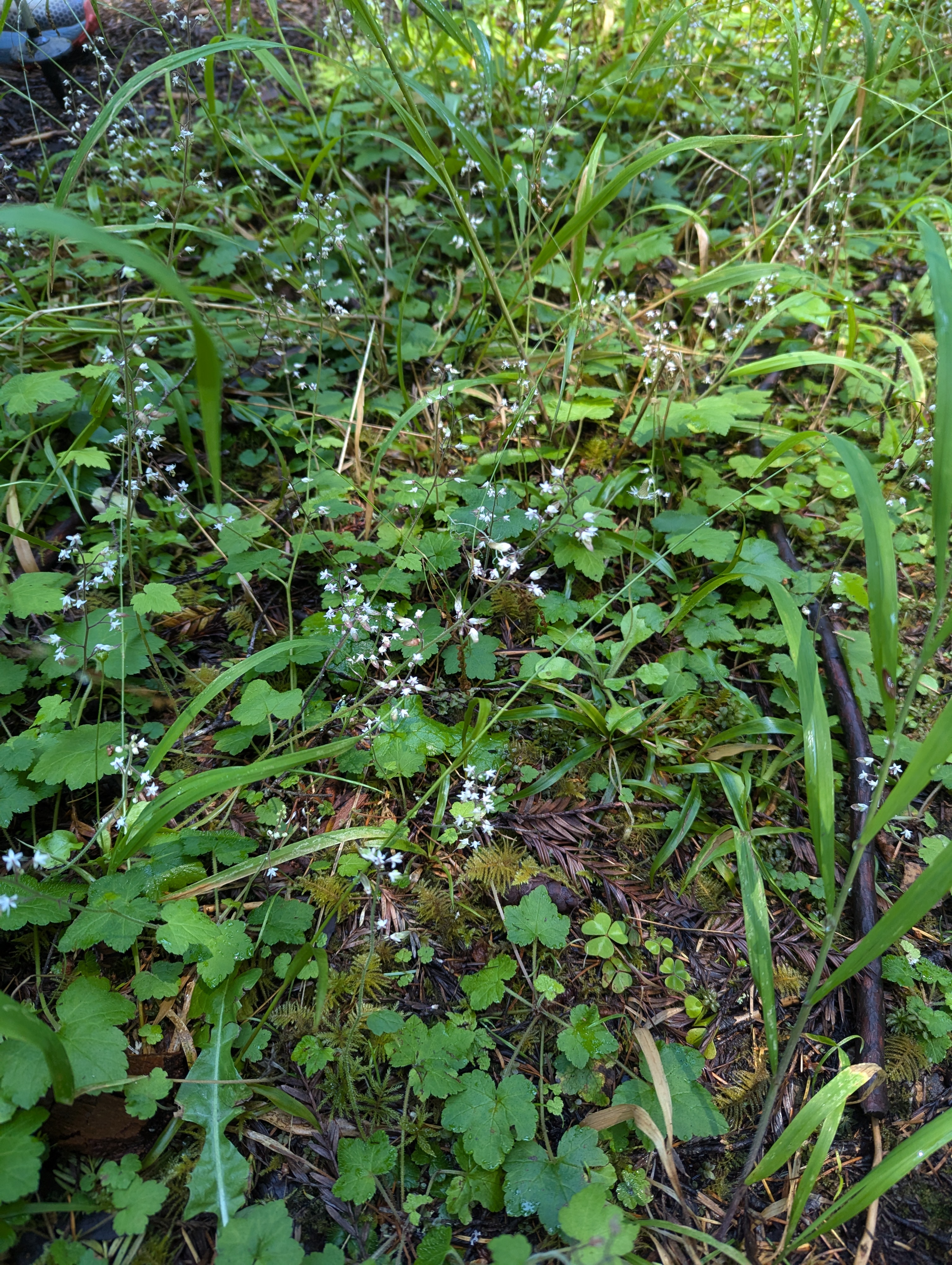
We climb up into the shade of the forest, whose leaves litter the ground. There’s a giant trough with ice-cold spring-fed water pouring into it. If I’d known about this water source, I could have carried less water from the start. The dappled light of the mixed-conifer forest and leaf carpet really reminds me of home on Smart’s Mountain. Buried in the forest, the blooming California Buckeye are tall and reaching for the sky.


We pass massive black oaks full of character and walk under madrone arbors. We hike a long switchback to the west before angling back into the Albee Creek drainage. I’m in the lead and hear a sudden crashing in the forest. There’s no doubt we’ve startled a bear. All stop quick quiet. I creep forward and look off the trail to my right. As soon as the black bear and I lock eyes, it spins around and crashes away through the forest. The short switchback brings us right above our bear sighting spot so hopefully our bear friend has gone elsewhere for lunch.

We pass another pile of hairy animal poop as we start to look for the perfect lunch spot. I don’t think I’ve ever seen so much poop on one trail. Old vanilla leaf plants cover the ground as we near the ridge top.

I throw my little mat down in the leaves and Erin sits atop a log for lunch. It’s breezy enough atop the ridge that it’s almost cold. We chat about trail food and me eating the same stuff for five months on the Pacific Crest Trail. We’ll need to add layers if we linger over lunch any longer.
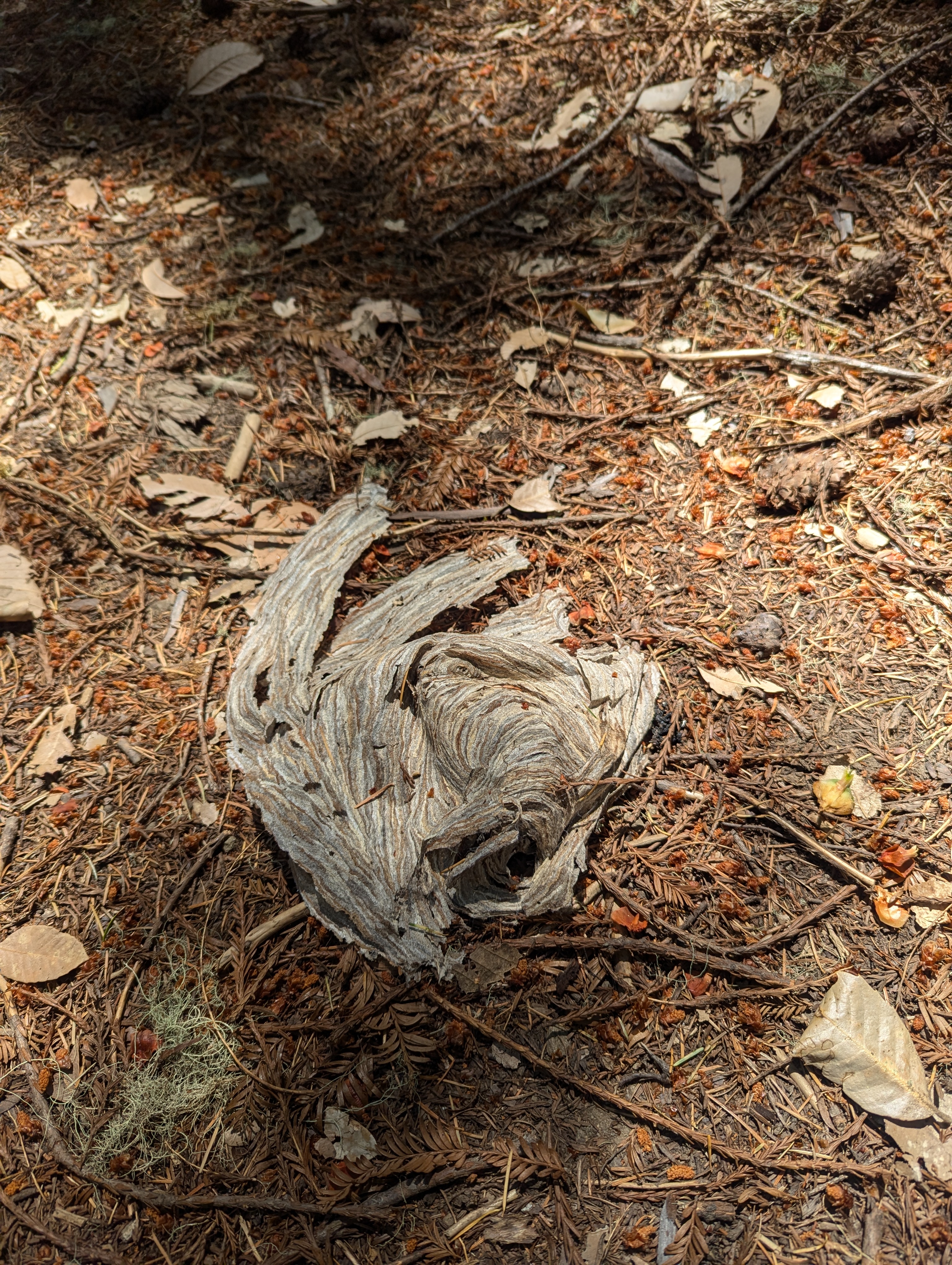
We’re only about 10 minutes from lunch when I’m suddenly screaming out in pain. I sorta freeze and then realize that I’ve been stung. I move down the trail as fast as I can in an effort to escape my attackers. I finally come to a stop and look back for Erin. She retreated in the opposite direction and has been able to escape the assault. I am stung on my left hand and calf and they hurt like hell. Erin heads cross-country and makes her way to me. Erin was able to observe a large hole in the trail, certainly the home of my insect assailants. We take a minute to assess the situation but there’s nothing really to do but keep hiking.
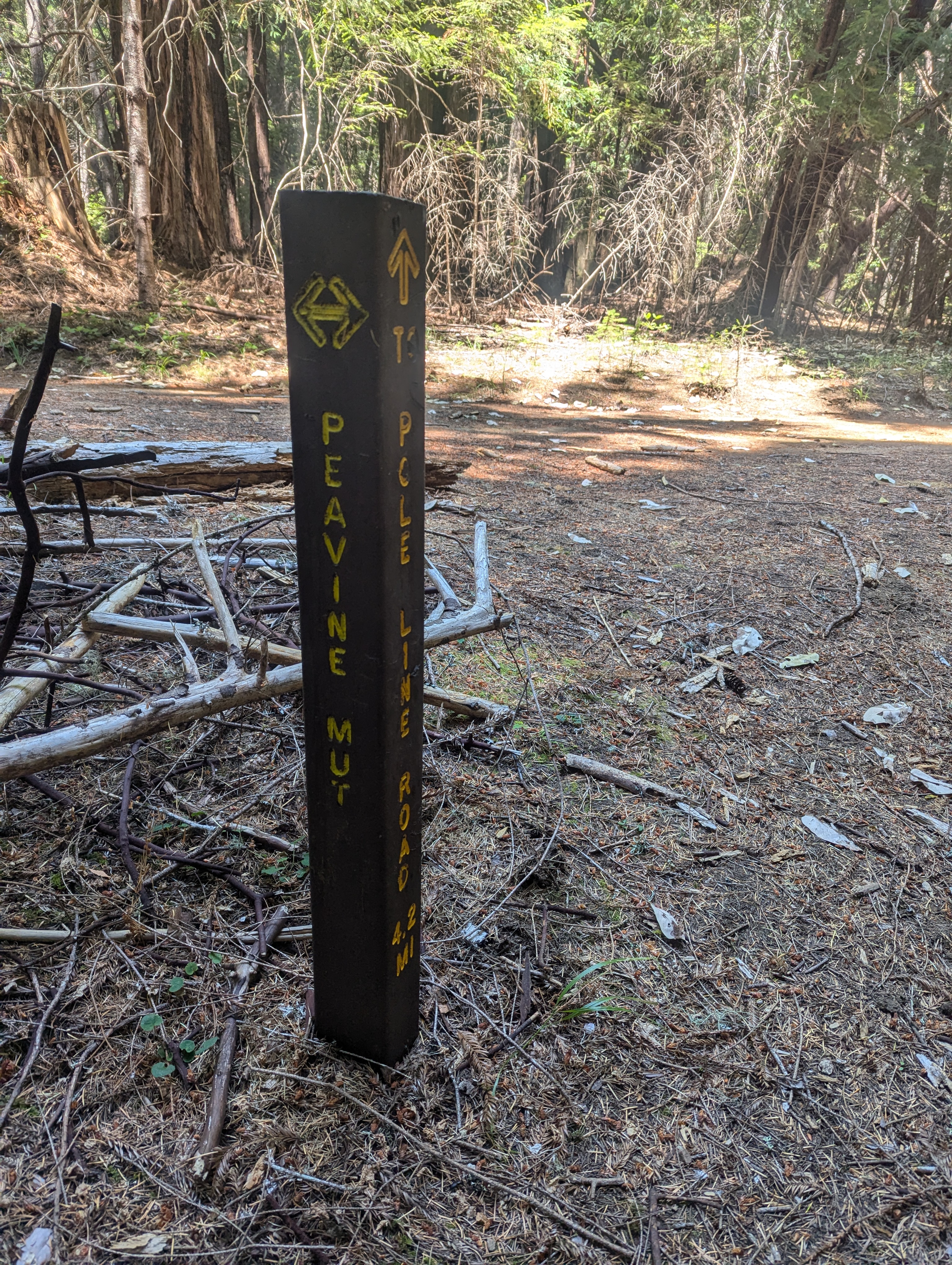


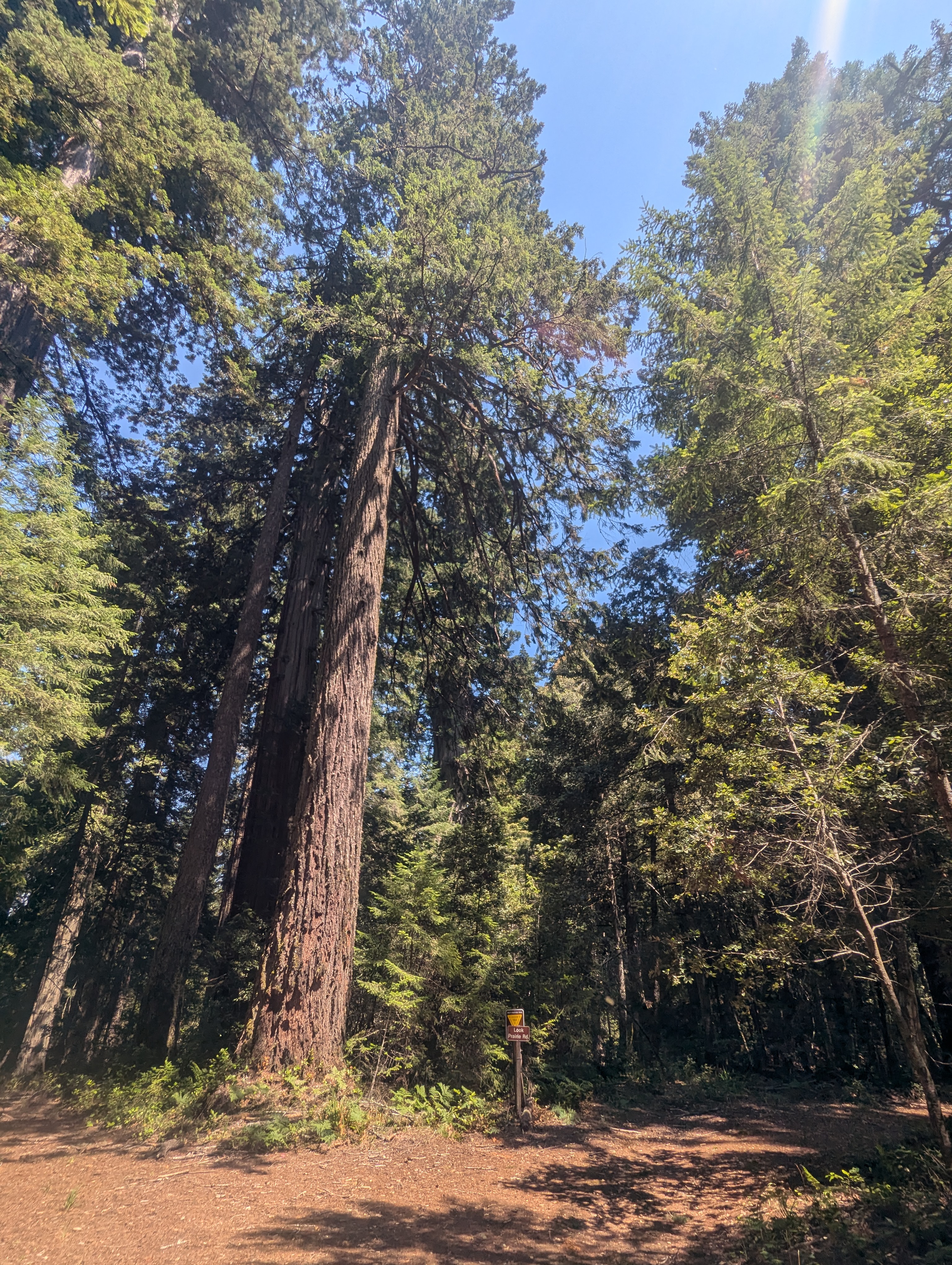
It’s about 12:45 pm when we hit the junction with the Peavine multi-use trail. The adrenaline is starting to wear off and the throbbing is setting in. The ridge is a veritable wonderland of majestic redwoods, tanoaks, Douglas-firs and madrones. And the forest is dripping. Not only with beauty but actually dripping so much water that it seems as if it has just poured two inches. Everything is absolutely soaked. We speculate about the cause of this phenomenon. Is this the byproduct of a ridge top just sitting in the fog all night and morning? If the trees weren’t so wet one could imagine that all this water has bubbled up to the surface.
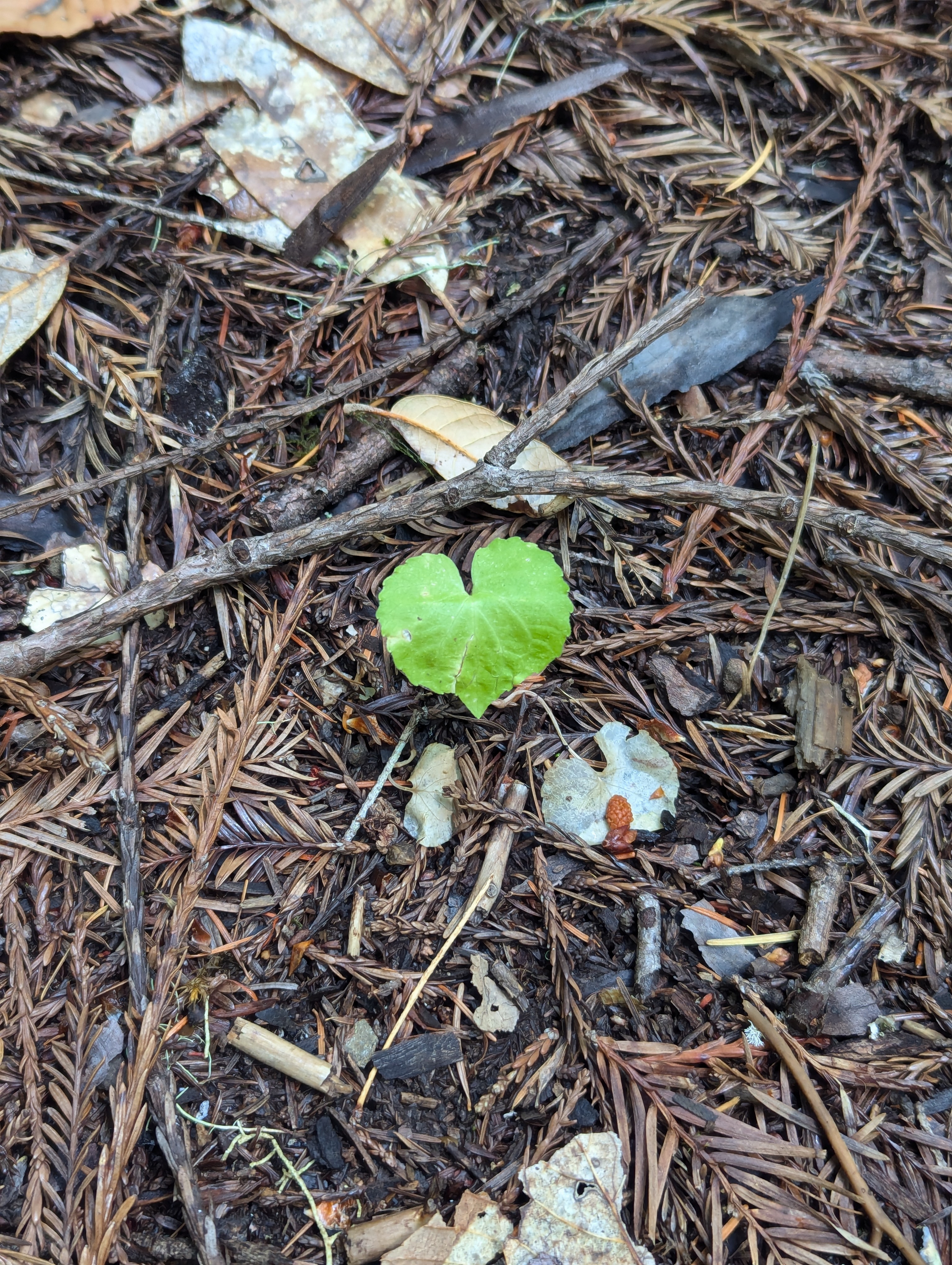

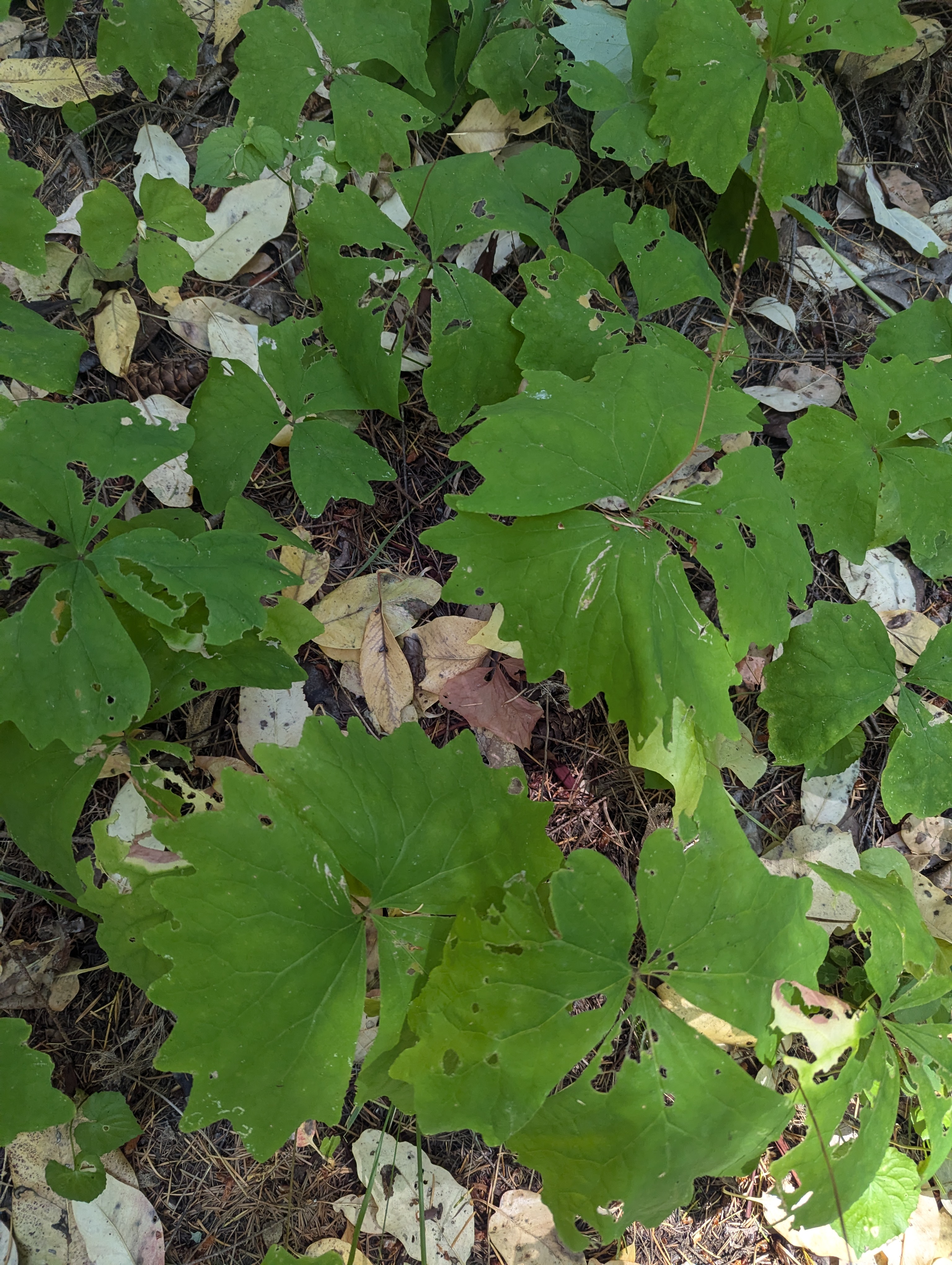
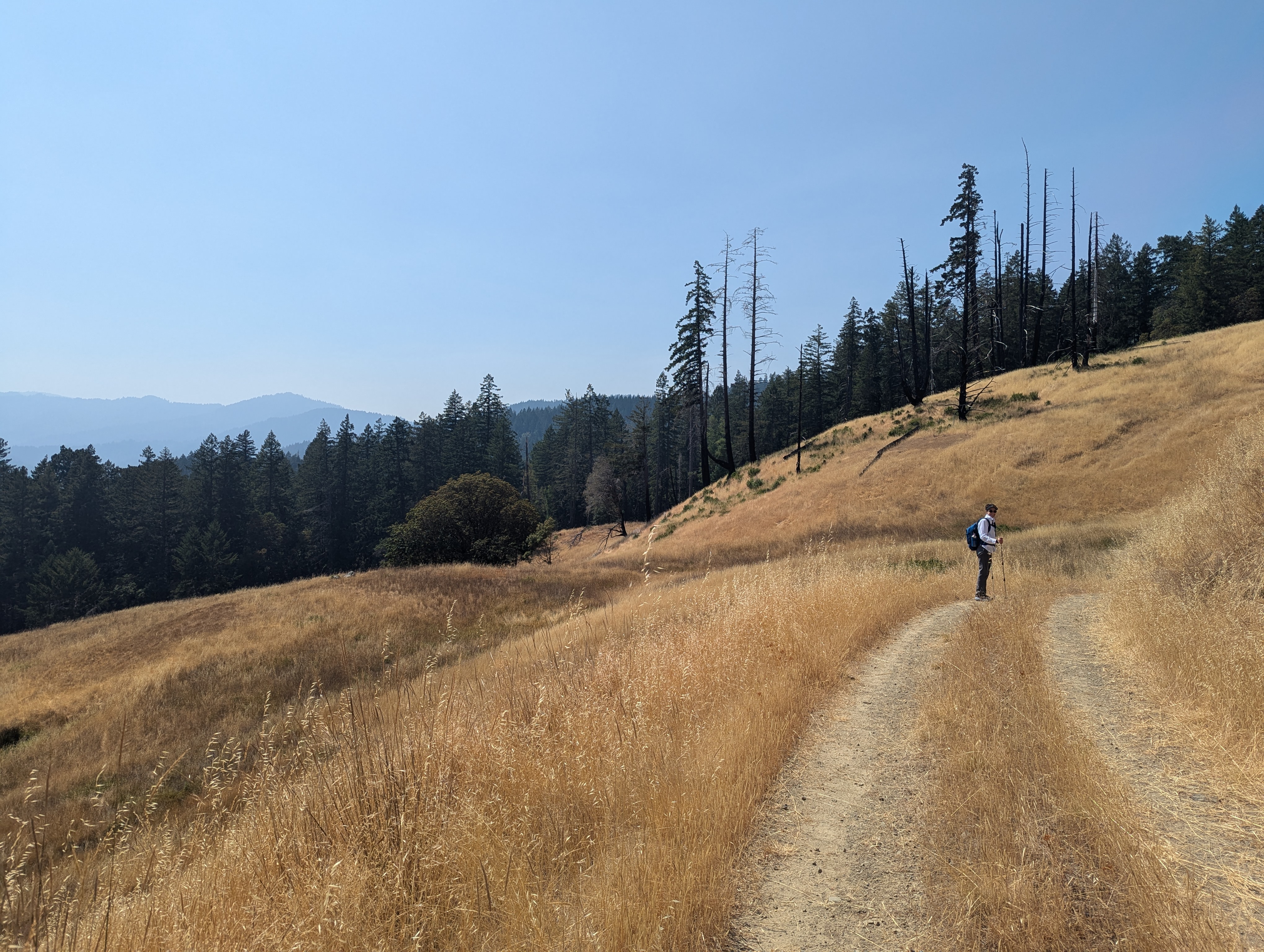
I stop for a moment to take some ibuprofen and green pictures. I don’t feel absolutely terrible but I don’t feel that great either. The wind is really starting to rip across the ridge and forward motion feels like a bit of a battle at times. The wind slices through some trees and I’m pretty sure they’re talking to me. We hit a steep 400 foot climb and Erin is a bit worried that I’ve gotten us lost again. But no, we have one last climb before our abrupt descent down the east side of the Harper Creek drainage. Among our many topics of conversation, we contemplate older age and wonder who will assist us childless ladies. Looks like we’re going to need to be really interesting in order to temp those youngins to hang with us.
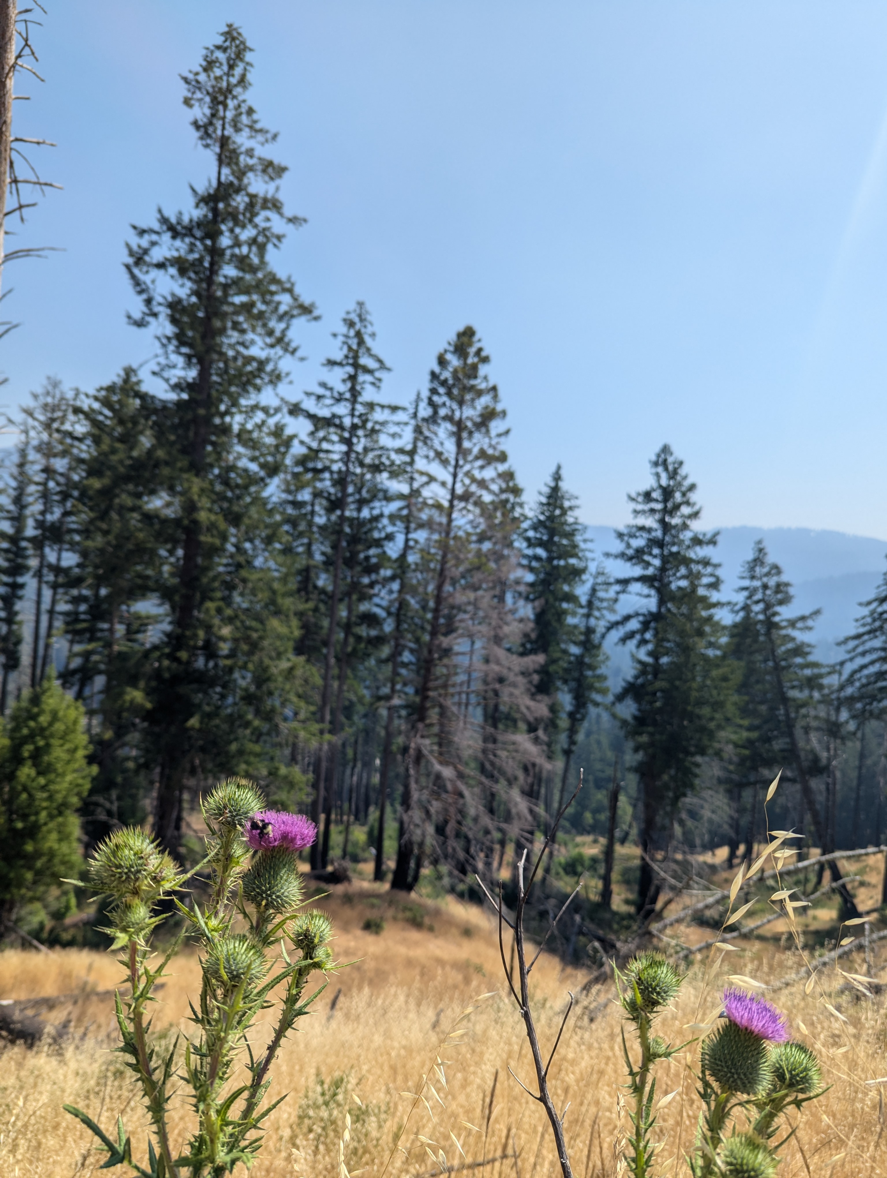
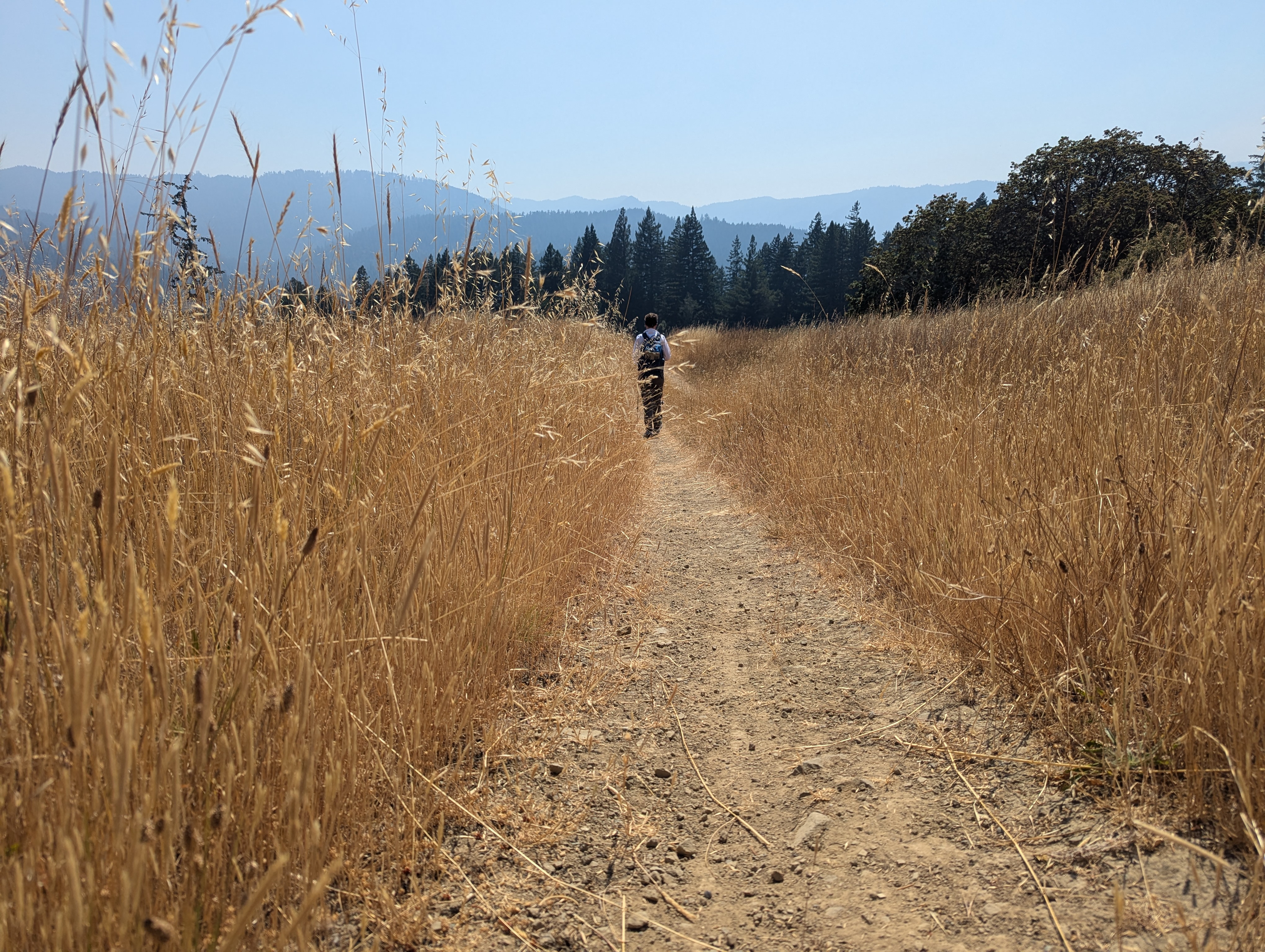
We drop out of the active rainforest back into an alternate universe of warm, post-burn prairie. The dry grass rustles in the breeze that has brought hazy smoke to the valley. Bumble bees work the thistle as Erin waits for me to catch up. Down, down we go with the strong afternoon sun pressing hard on us.


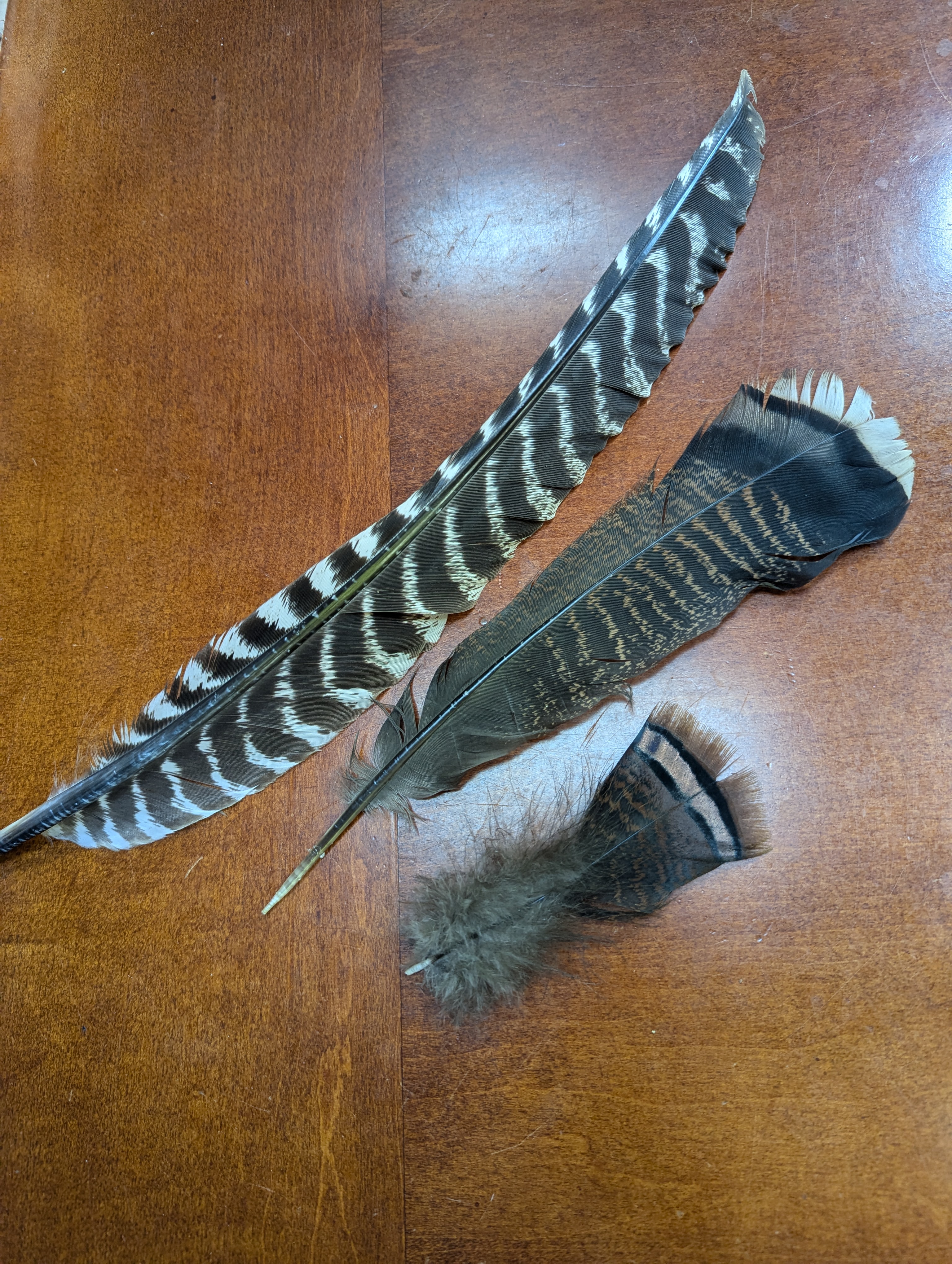
Near the end of the descent, a few ancient apple treats dot the side of the road. I find another turkey feather about a mile before we arrive back at the trailhead. I think the same two mosquitoes are circling at the car as we enjoy some cool, end-of-hike reward watermelon.