Sunday, December 1
Prairie Creek Redwoods State Park
Redwood National and State Parks
Unceded land of the Yurok Tribe
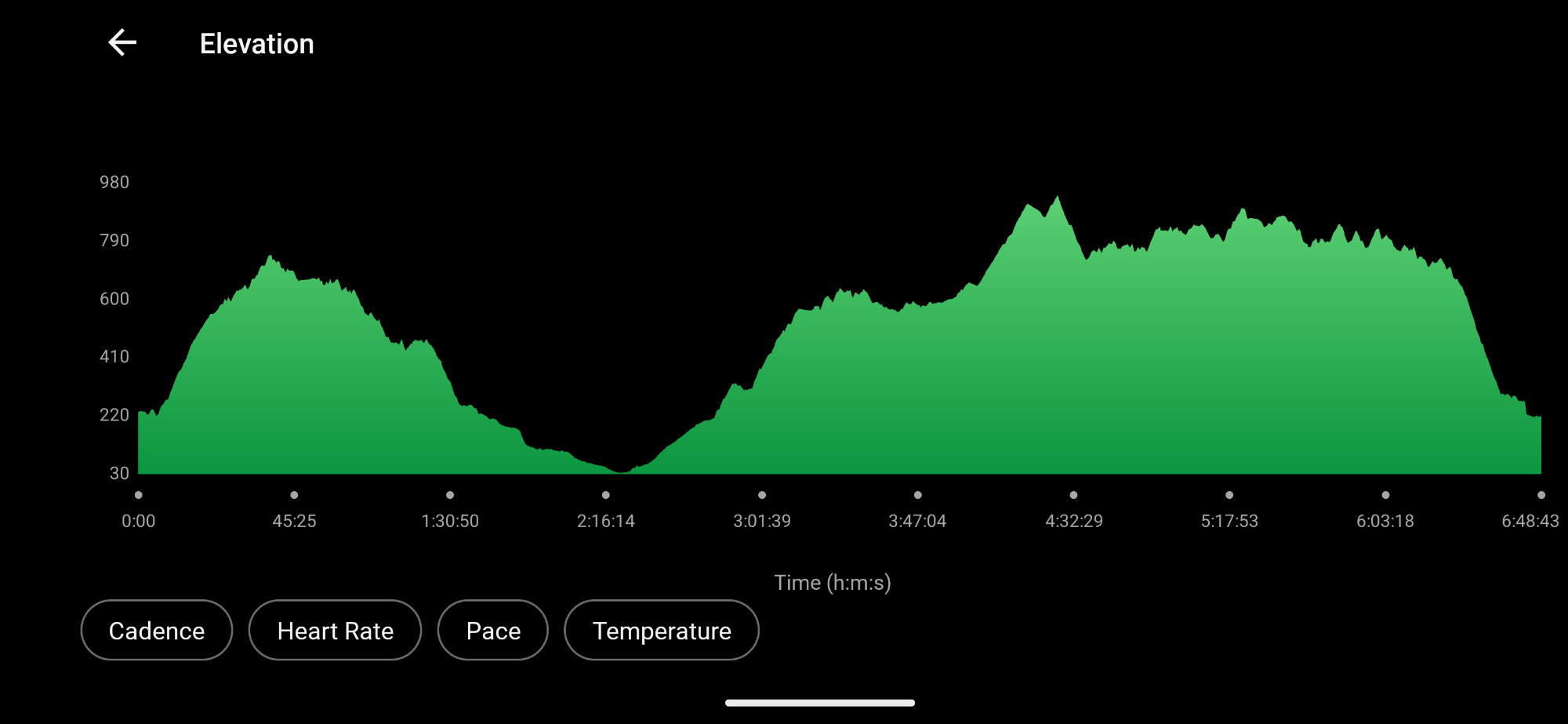
17.01 miles
2,704′ ascent
2,662′ descent
Miner’s Ridge Trail to Gold Bluffs Road
Fern Canyon to James Irvine Trail
Friendship Ridge to West Ridge
I drive all the way to Clam Beach before I miraculously realize that I have forgotten my trekking poles. The return home adds at least 20 minutes to my morning. I’m on trail by 8:10am with the plan to go check out Fern Canyon.

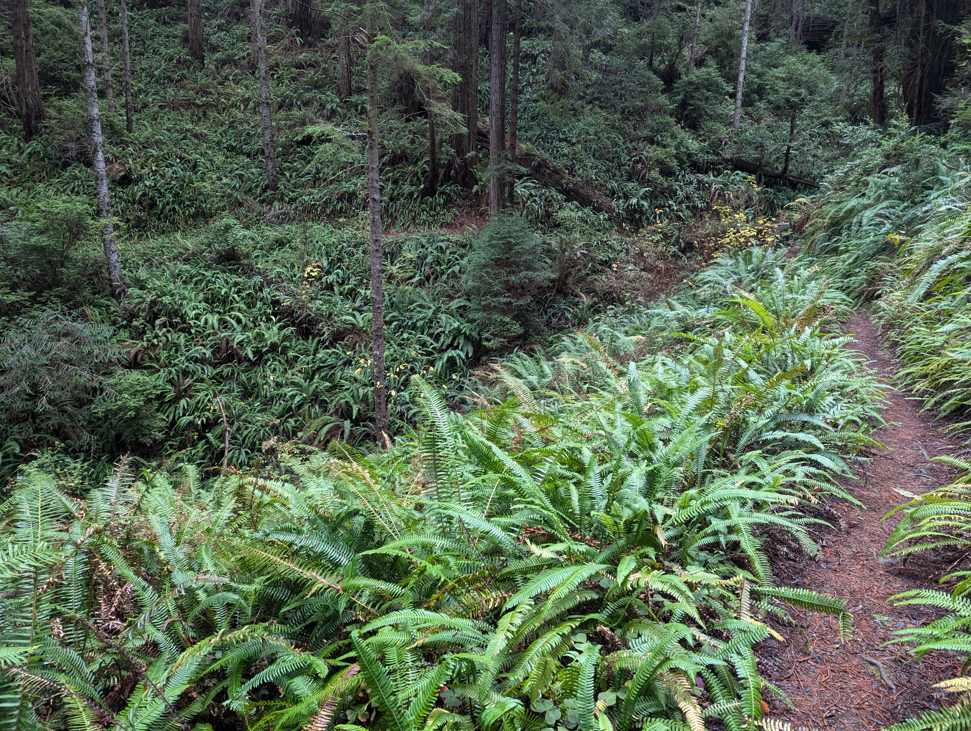
The climb up Miner’s Ridge reveals decaying plants turning yellow with time.
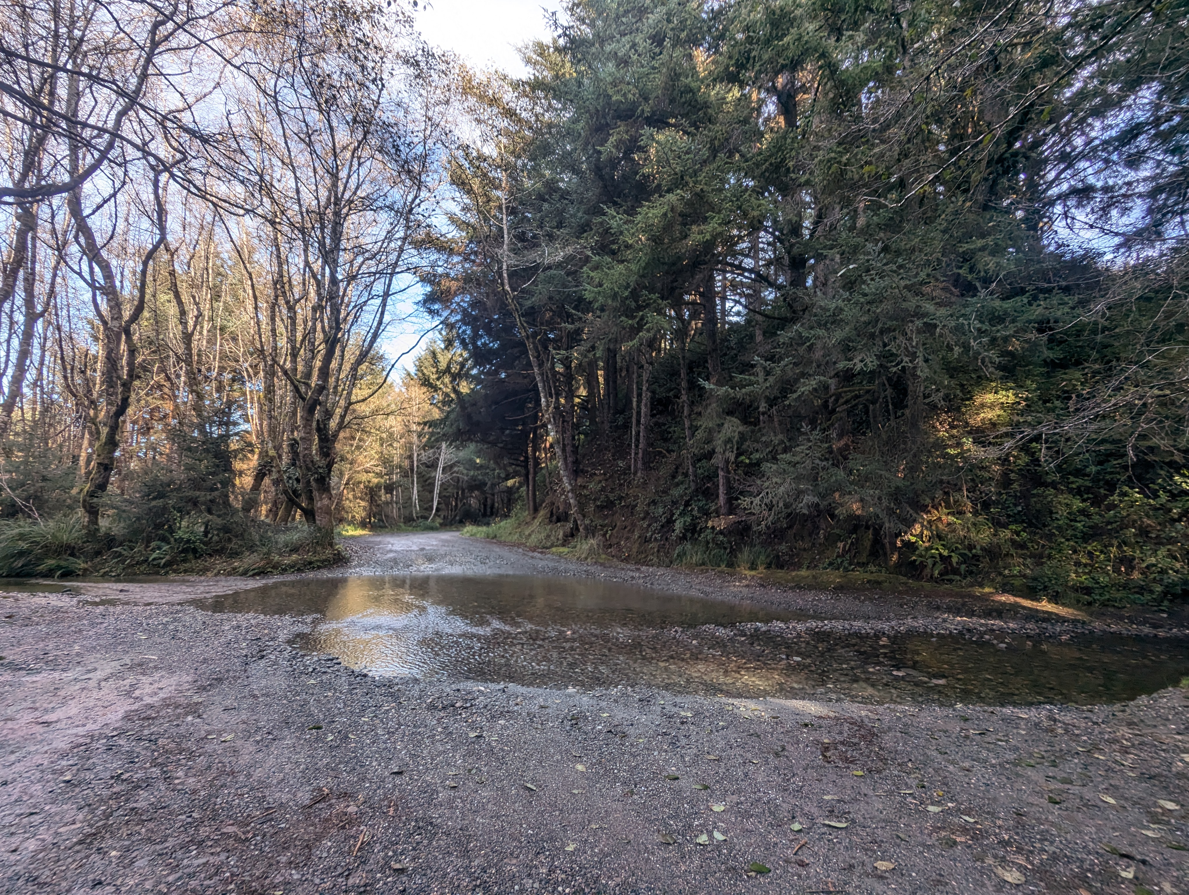
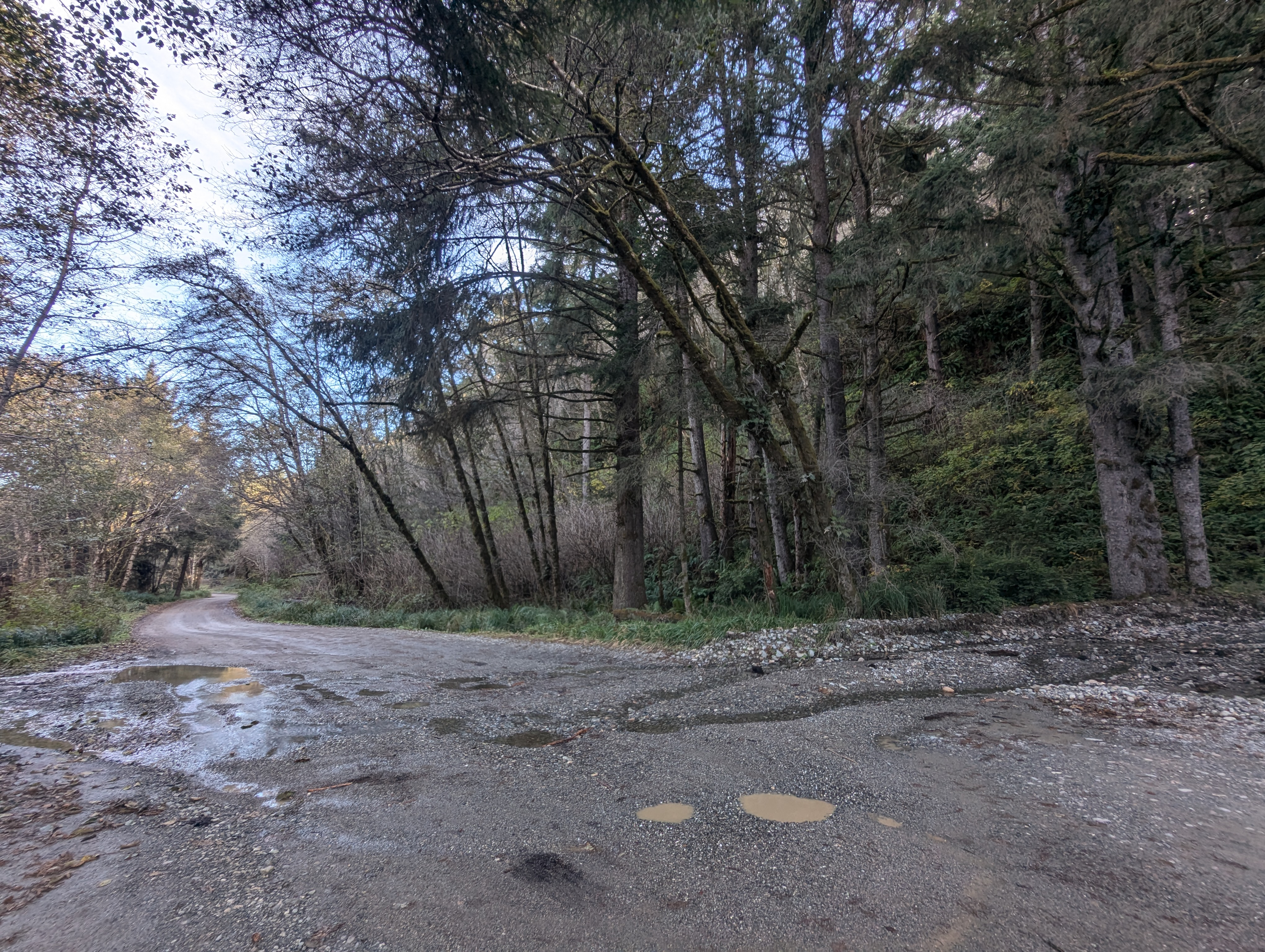
Gold Bluffs Beach Road doesn’t look too bad after the recent rains. To my surprise, several cars pass me on the road. Dang, I really thought Fern Canyon was closed. I walk the road to the parking lot where there’s a bunch more cars. I have second breakfast at the picnic tables and finish my mocha.

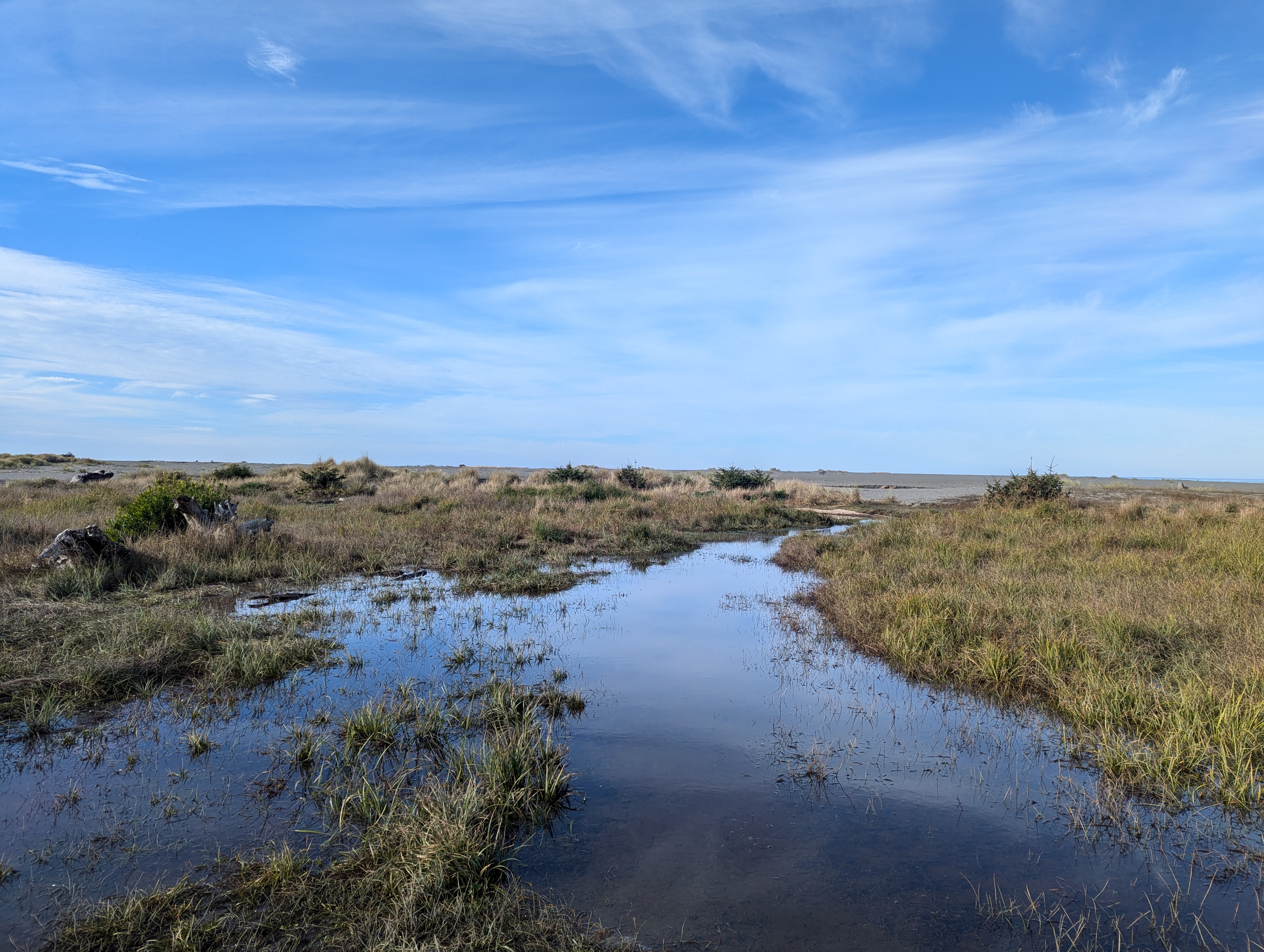
I walk towards the ocean but the beach is well flooded.
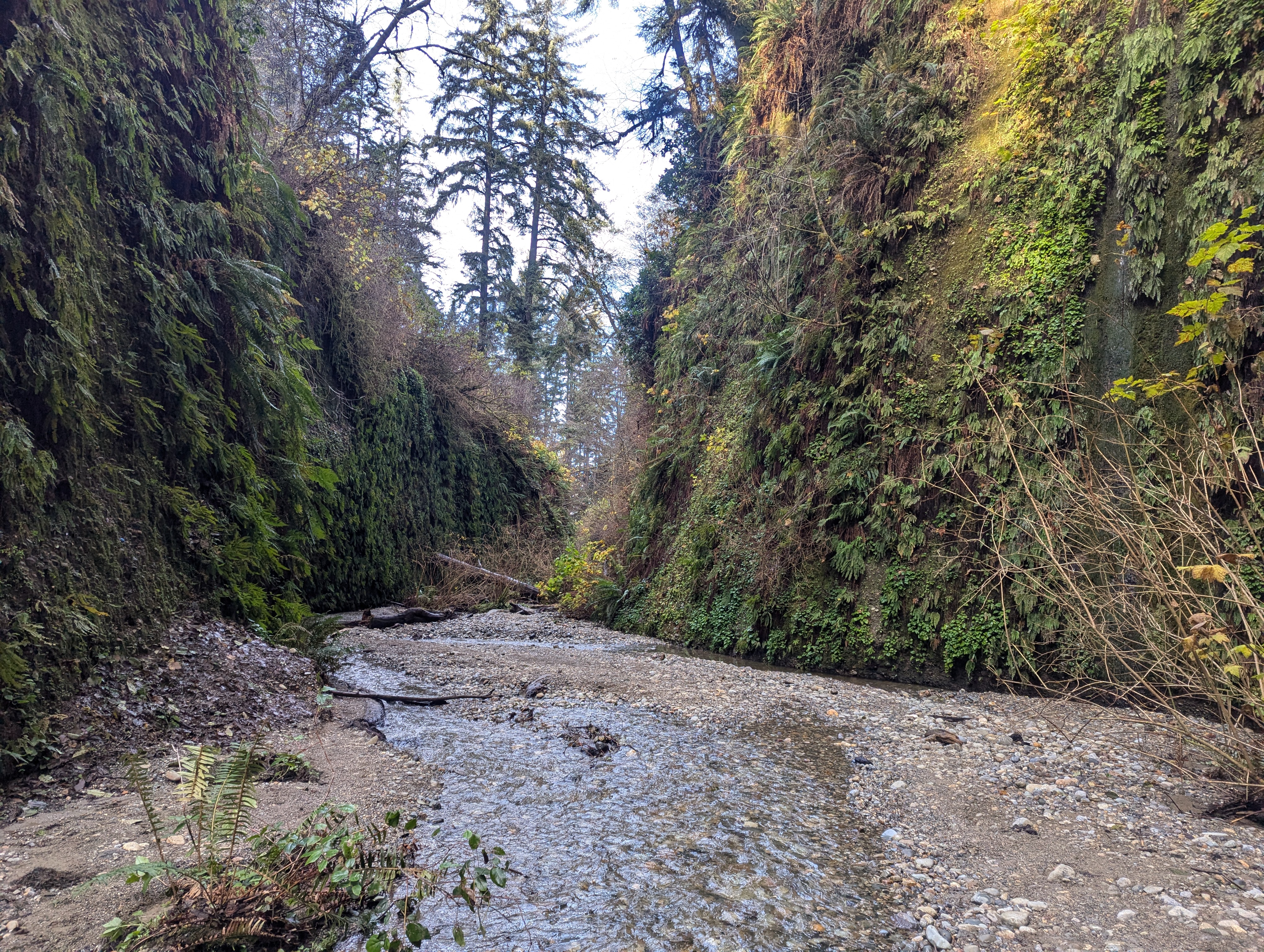
I pass at least 10 people on the trail to Fern Canyon. Near the mouth of the canyon, I stand back and wait for a lady to take a picture. As I start to walk past her she asks me if I know the trail. She’s got her phone in her hand and states that the Alltrails maps won’t load. I ask her if it works without the internet. She says “oh I know I should have downloaded it.” I tell her it’s pretty clear and easy to follow the trail up the canyon. I start to walk off and she says she’ll just follow me. I easily navigate the channel with my waterproof boots and trekking poles. I get the sense she’s having a hard time keeping up with me so I stop and chat with her a little more. I bid her well and happy adventuring and round the corner.


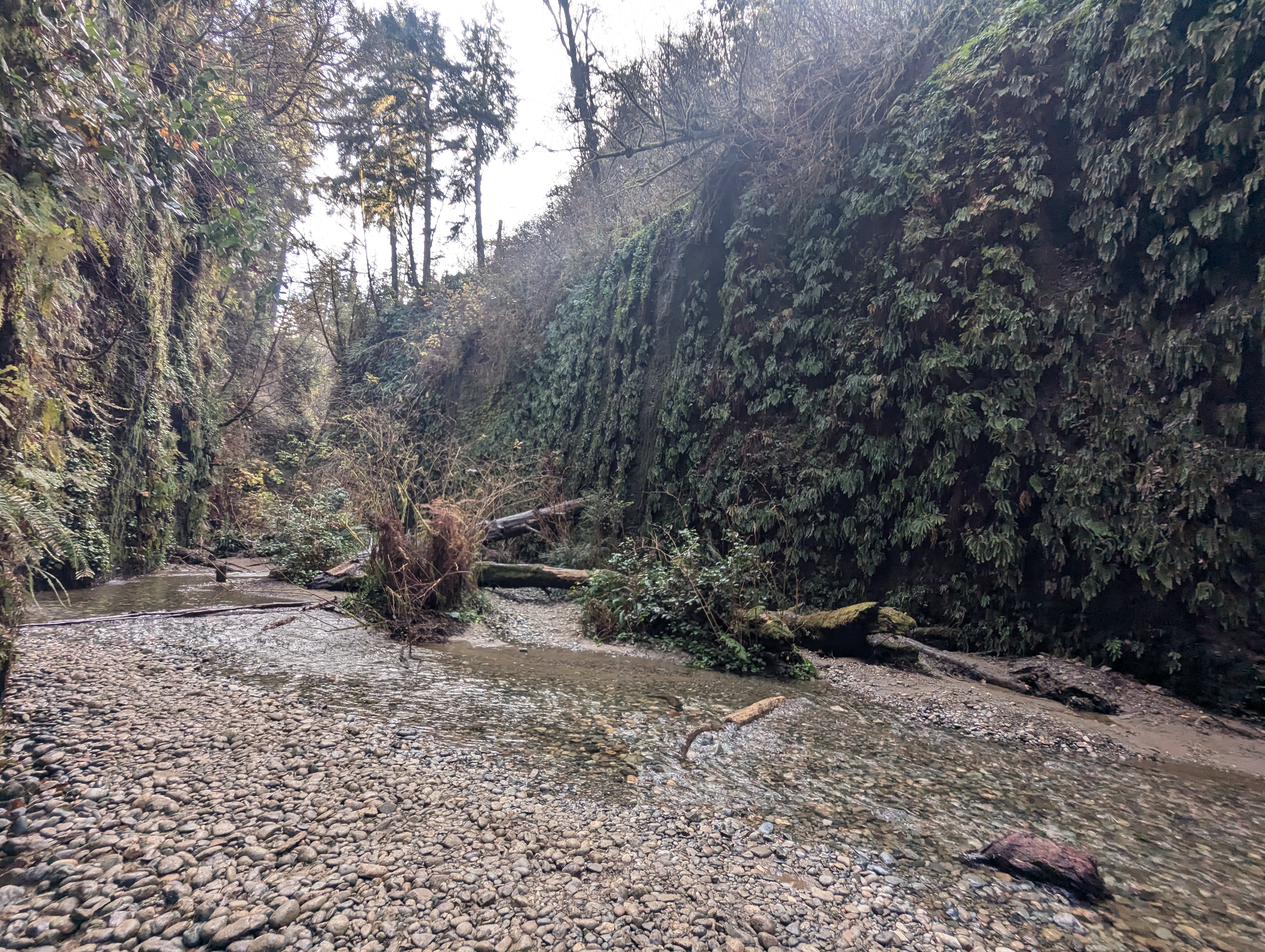
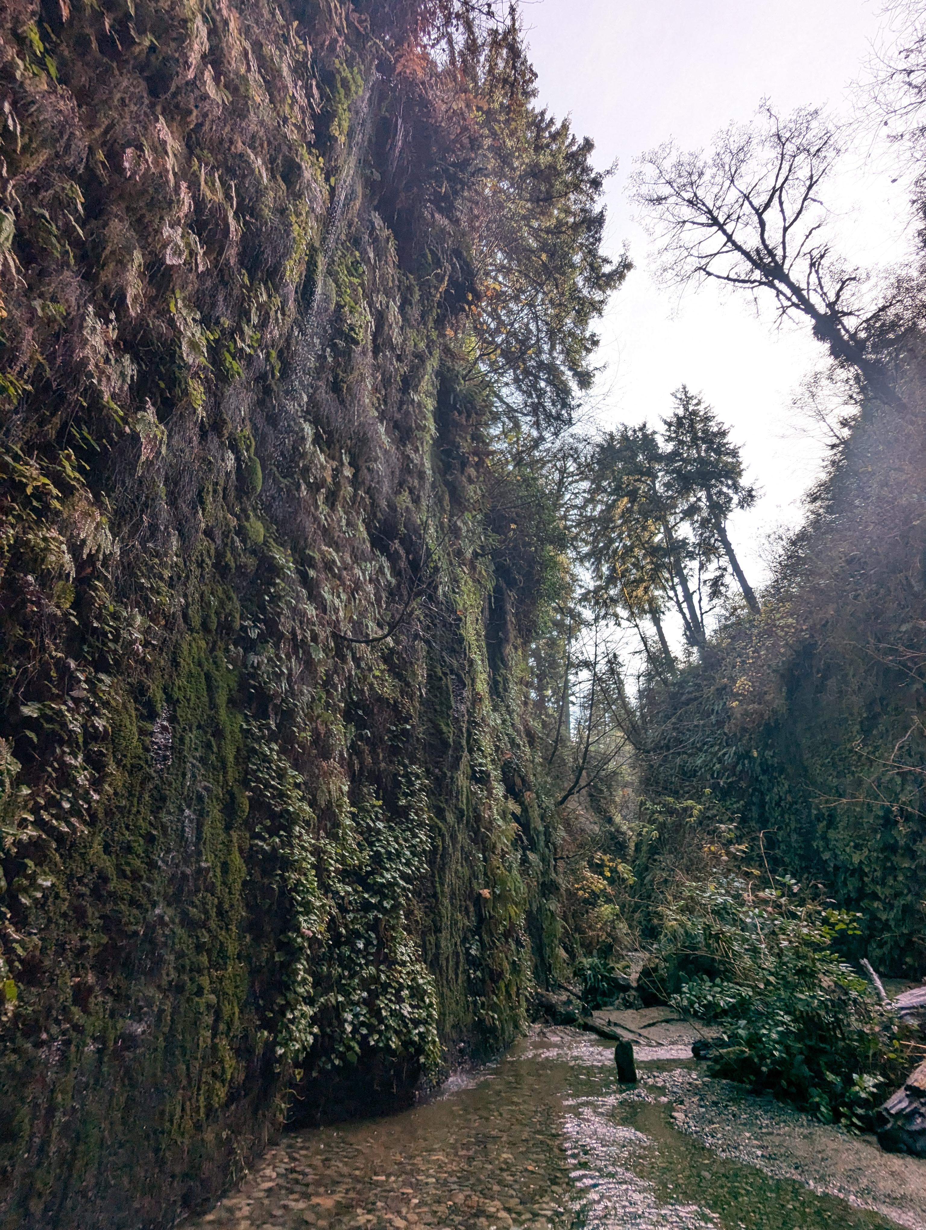
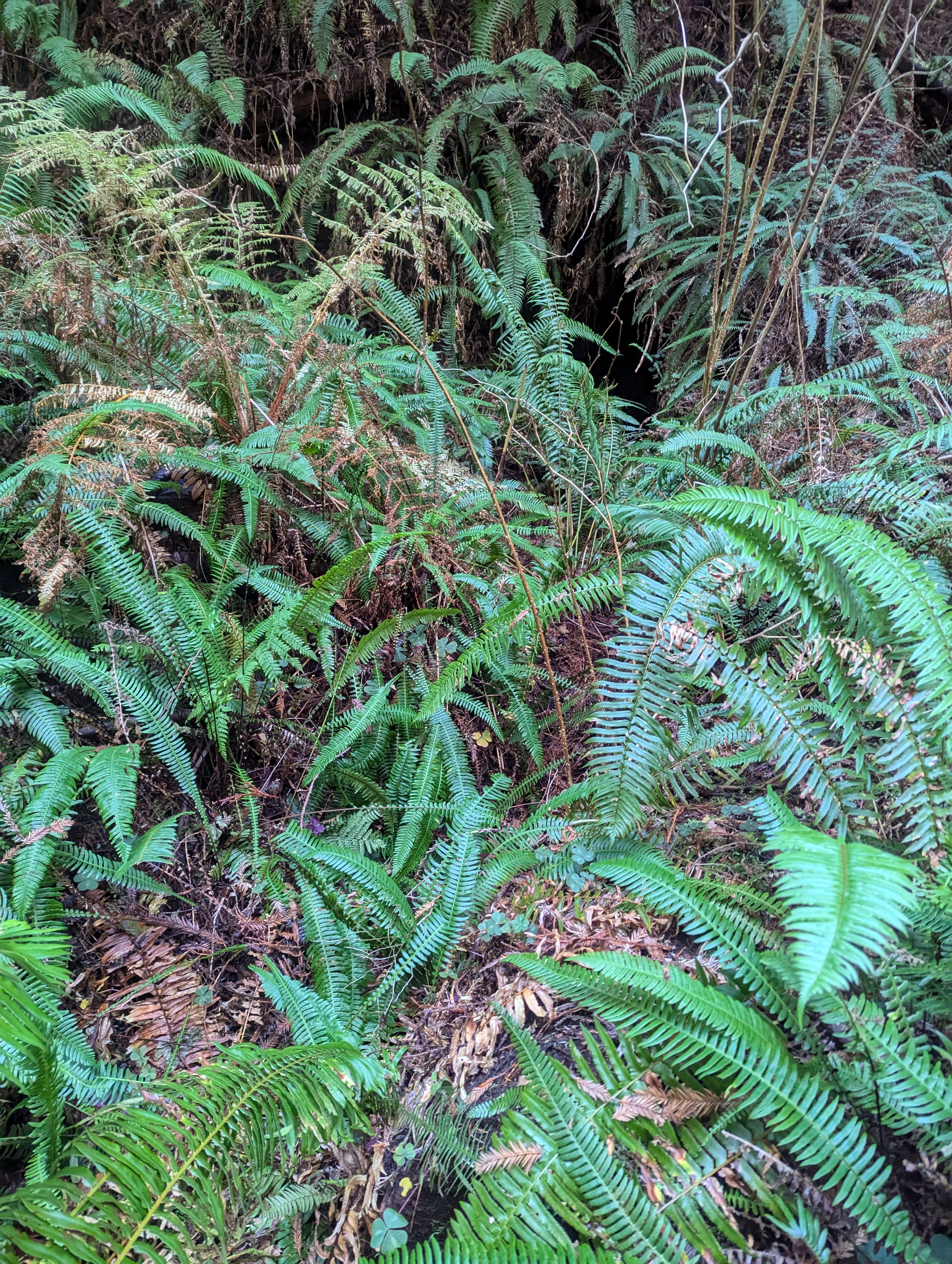
Ironically, the lushness of the canyon is certainly less this time of year. The deciduous trees along the top of the canyon have all lost their leaves and they are looking a bit bleak.


My original plan was to hike James Irvine back to park headquarters but I’m feeling so good that I decide to make a left turn on Friendship Ridge. The climb starts off steep and I don’t get very far before I stop dead in my tracks. I have only a 1/3 liter of water. Well, shoot. I probably have 9-10 miles to go. I probably can make it back to headquarters with that much water.

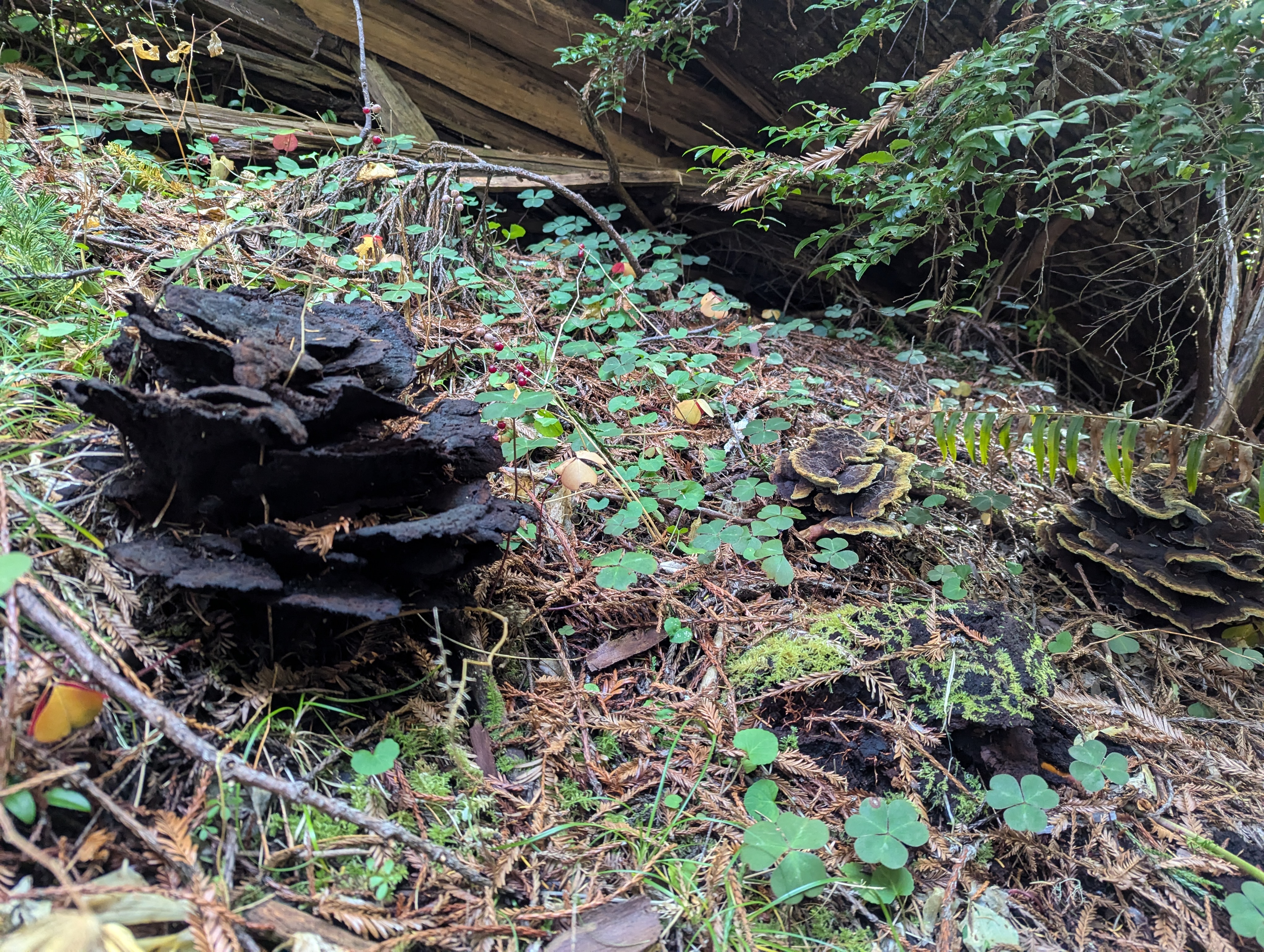
I have a faint recollection of a trickle of water somewhere along the Friendship Ridge Trail. I always try to make mental notes where I hear or see water. If I remember correctly, I’ve only ever been able to hear this water. It’s about 12:30pm as the trail approaches the trickle. I drop my pack and push through the ferns toward the sound of the water. I approach a dark hole which is actually the underside of a redwood log. I make a lot of noise in case there’s anything in there I need to scare off. And there flows my precious, ice-cold water. I fill up my bottle as far as I can and drink. I refill and climb out.
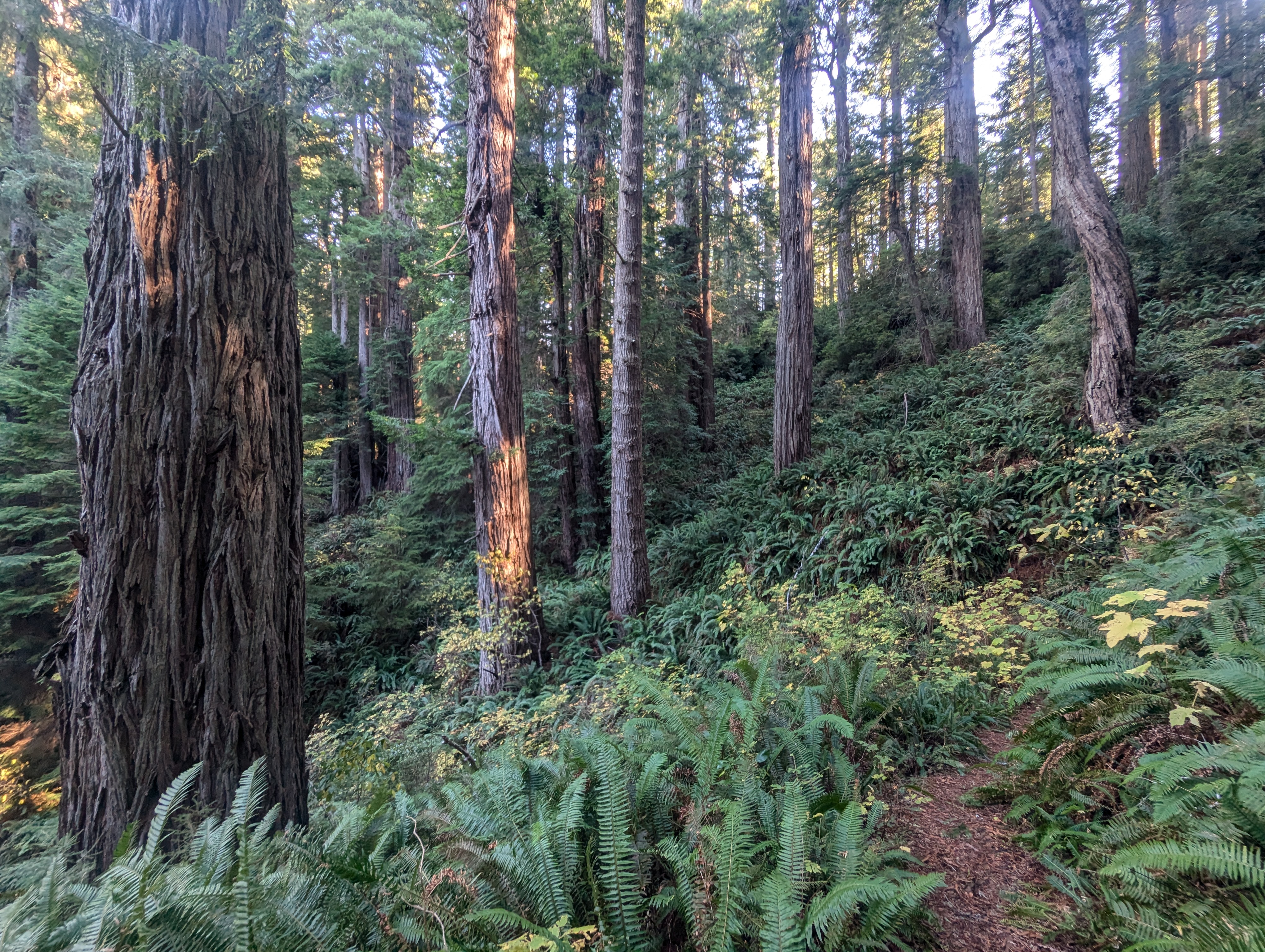
At the trail junction, I turn right onto the West Ridge Trail. It’s almost 2 miles to the junction with Zig Zag #2. I turn right again and take a break on the rotting bench. I’m grateful for my extra water and pour in some electrolyte mix while I eat a snack.

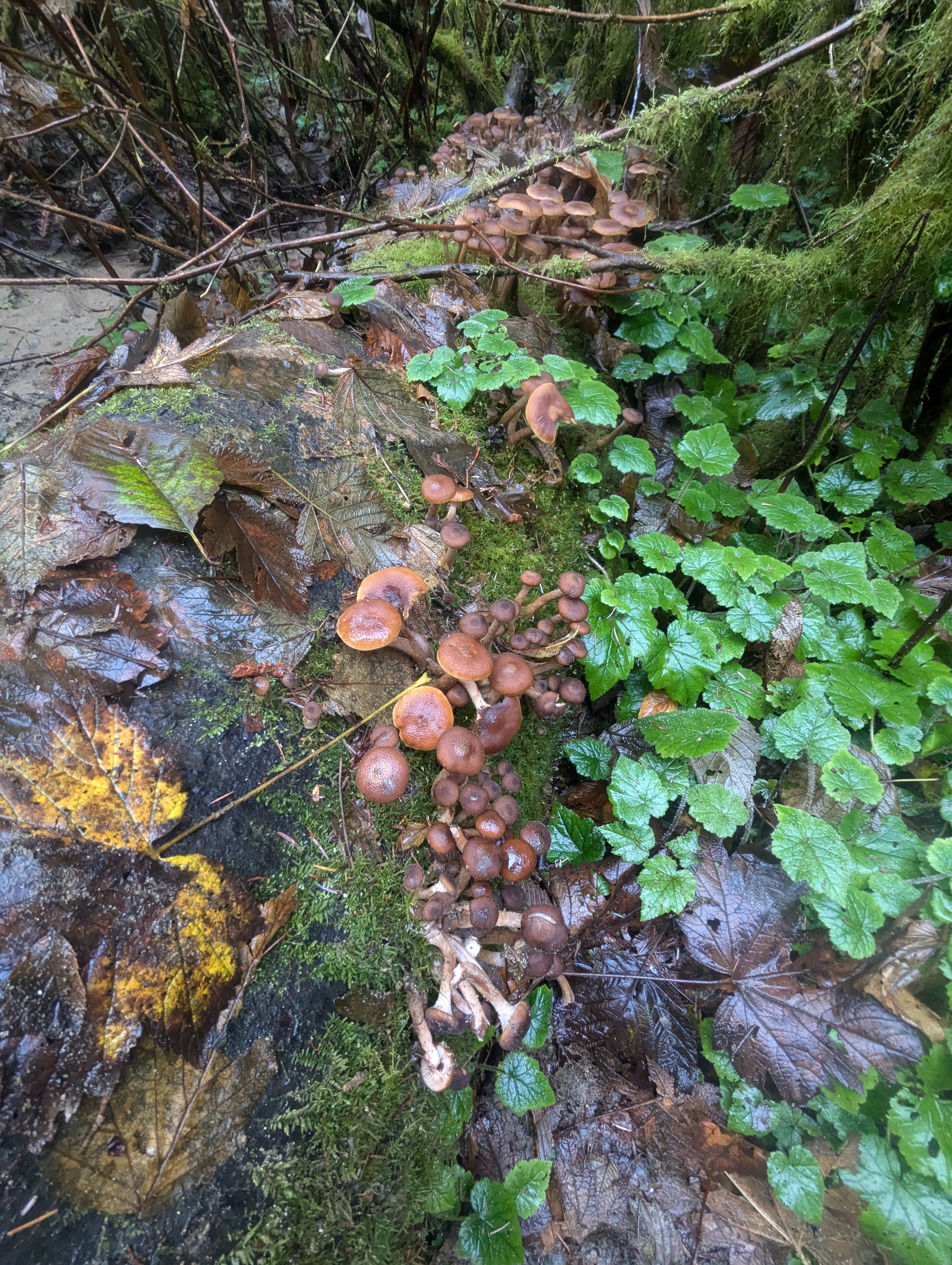
I trace the ridge, pushing the pace. There’s a new tree down across the trail but it’s easy to maneuver around it. Just after I pass a redwood tree with fungi growing out of it, I meet a couple ladies on the trail. I can tell that they don’t hear me approaching. They definitely think they are the only ones out here. It kinda looks like they’re searching for a spot to pee. I zip by and get on my way.


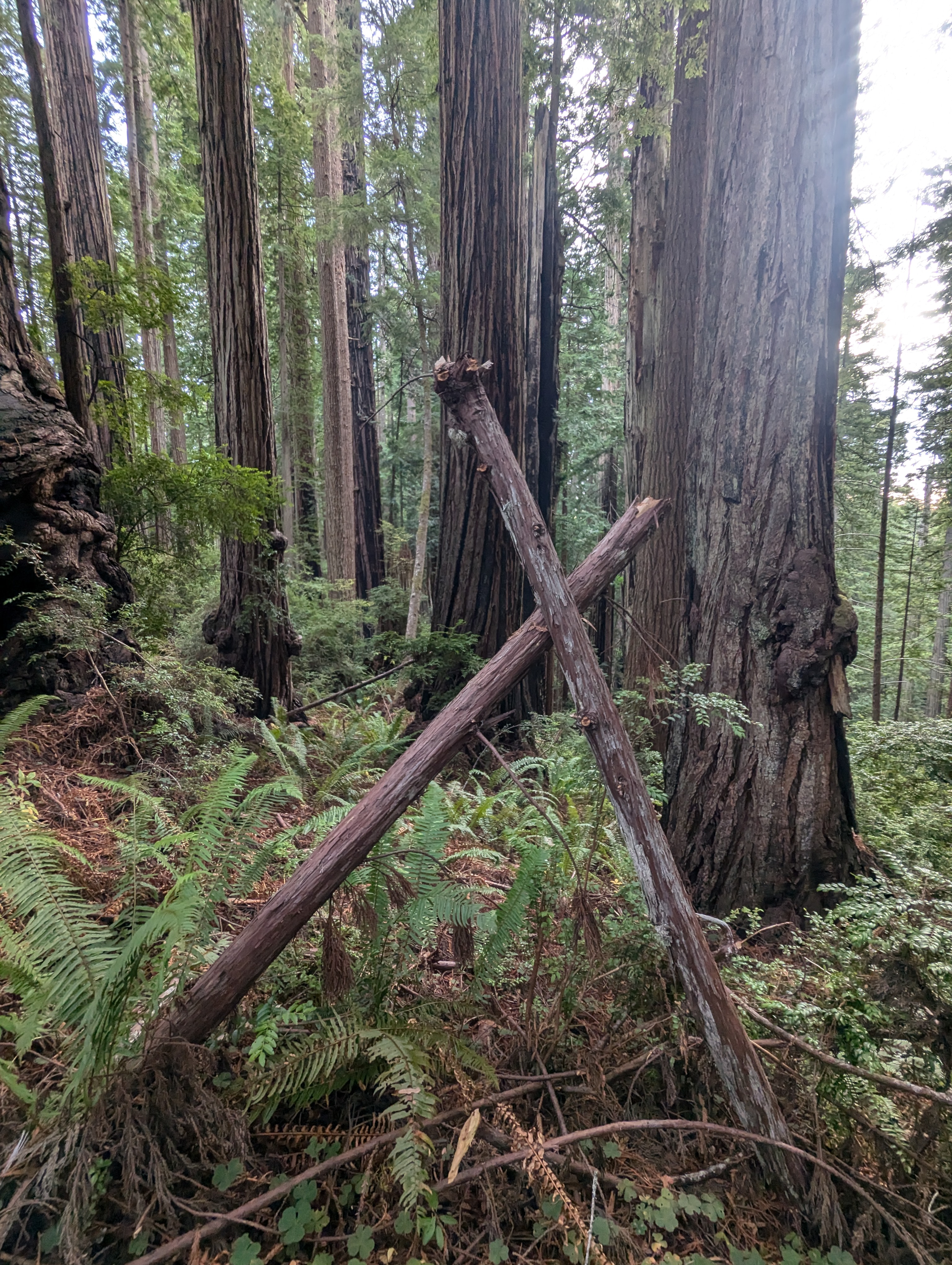
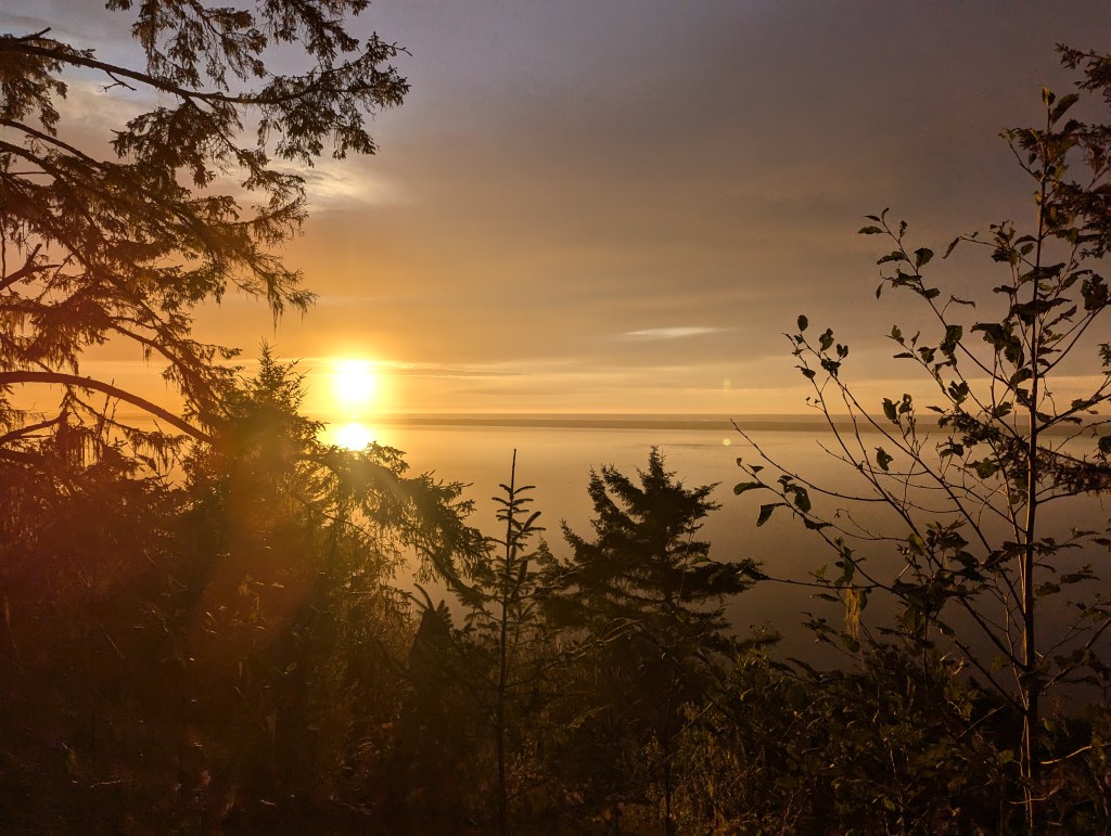
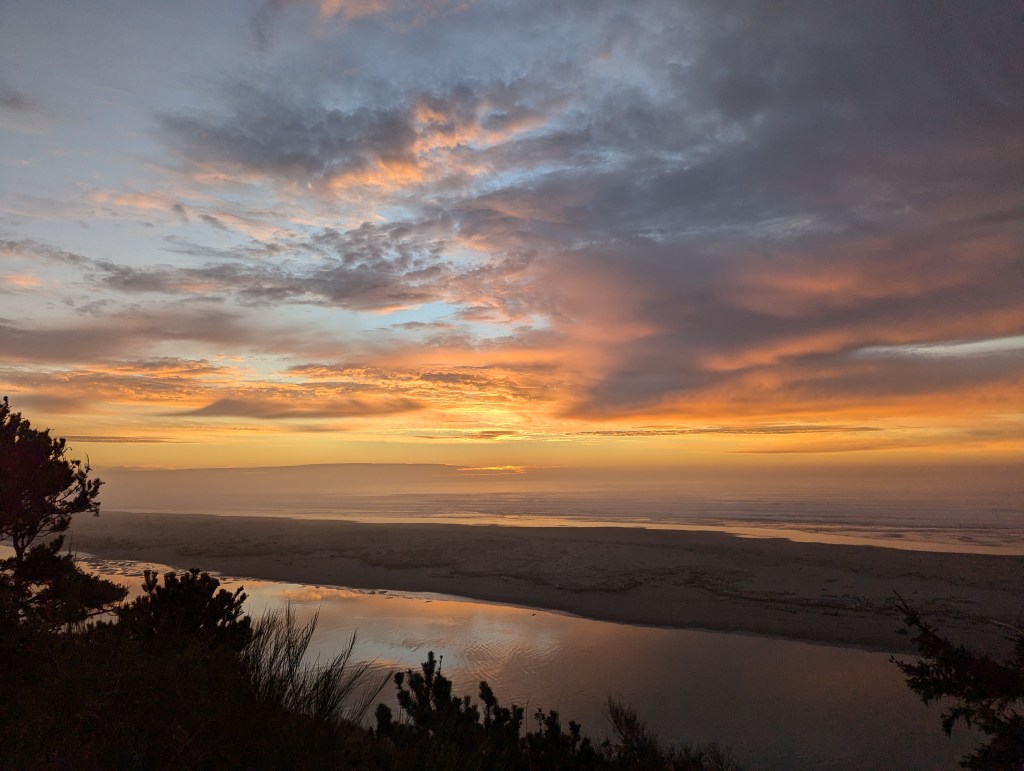
X marks the spot? My new goal is to reach the visitor’s center before they close at 4pm. I roll in about 3:45pm and buy a few more stickers. The drive home is simply spectacular as the sun glints off the ocean and lagoons. I make it back to Arcata just as the sun sinks behind the clouds.