Tuesday, February 18
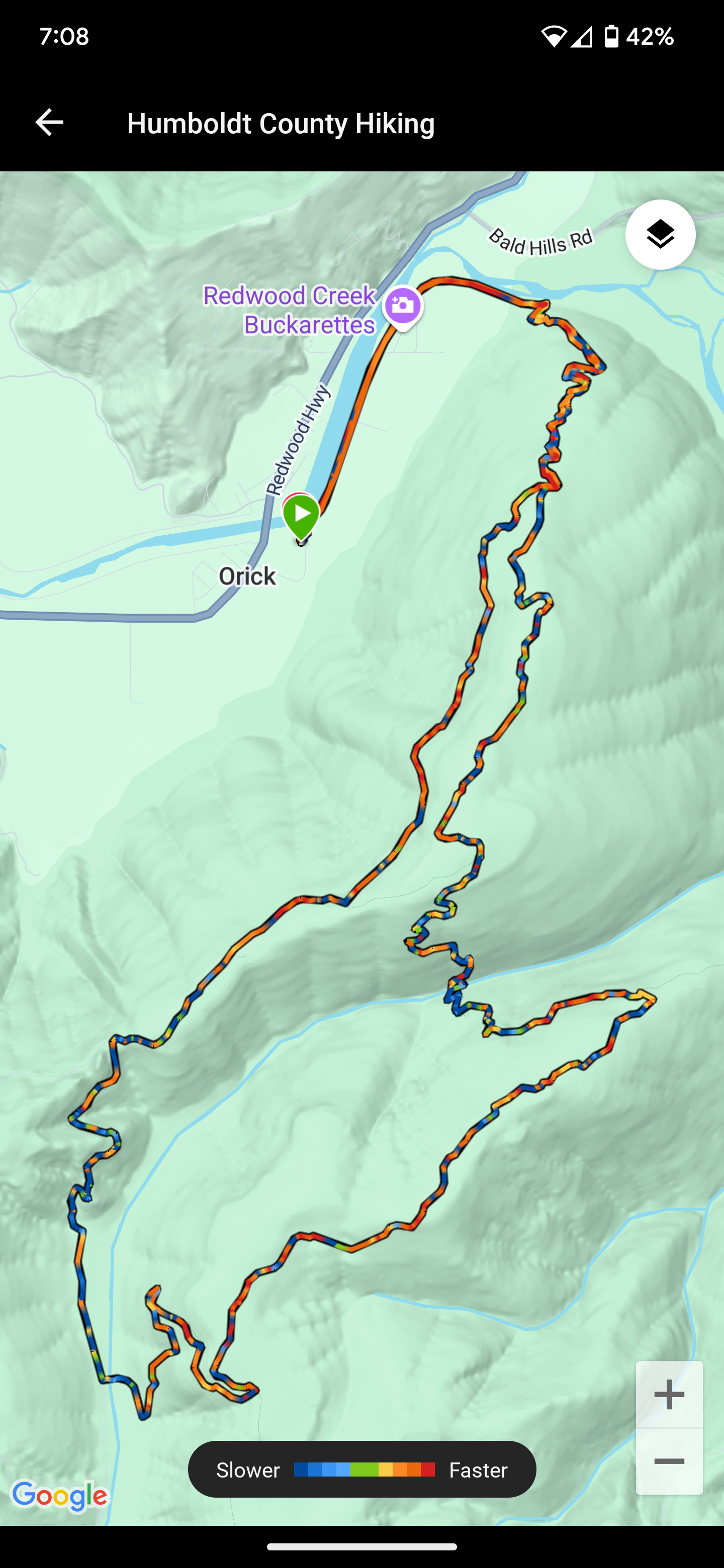
Ridge Loop
McArthur Creek Loop
Redwood National and State Parks
Unceded land of the Yurok Tribe
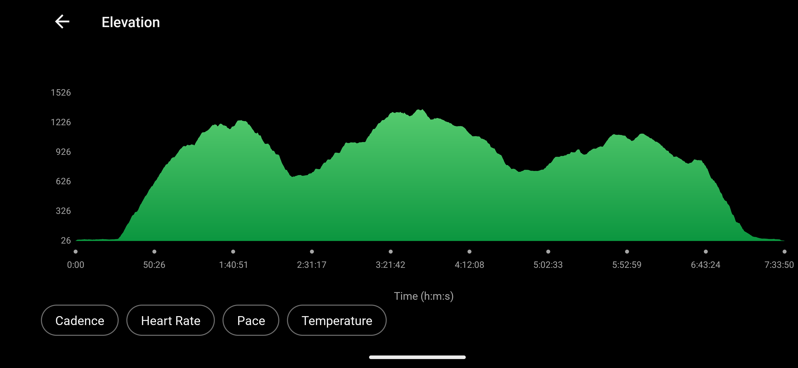
15.7 miles
2,698′ ascent
2,692′ descent
A few sprinkles land on my windshield as I drive around Big Lagoon. The sky is cloudy but there are hints of color that reflect off the glass-like surface of the water. In Orick, I turn onto Drydens Road and park at what Google Maps calls Orick Horse Trailhead. There’s a circular loop and parking area around a decent pit toilet with toilet paper. I finish breakfast, hoist my pack and hike up onto the Redwood Creek levee. Redwood Creek is a bit of a misnomer because it is definitely a river.

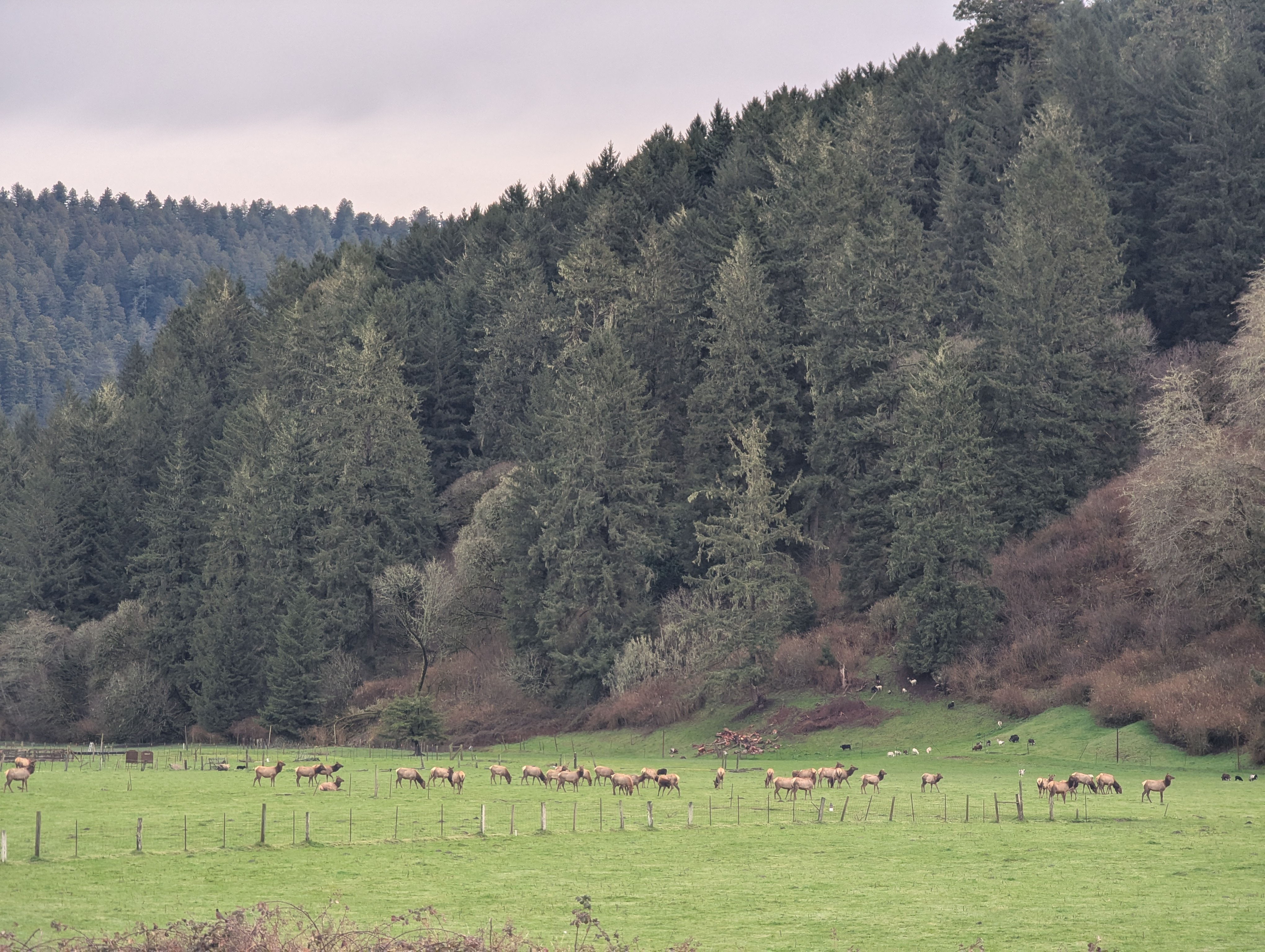
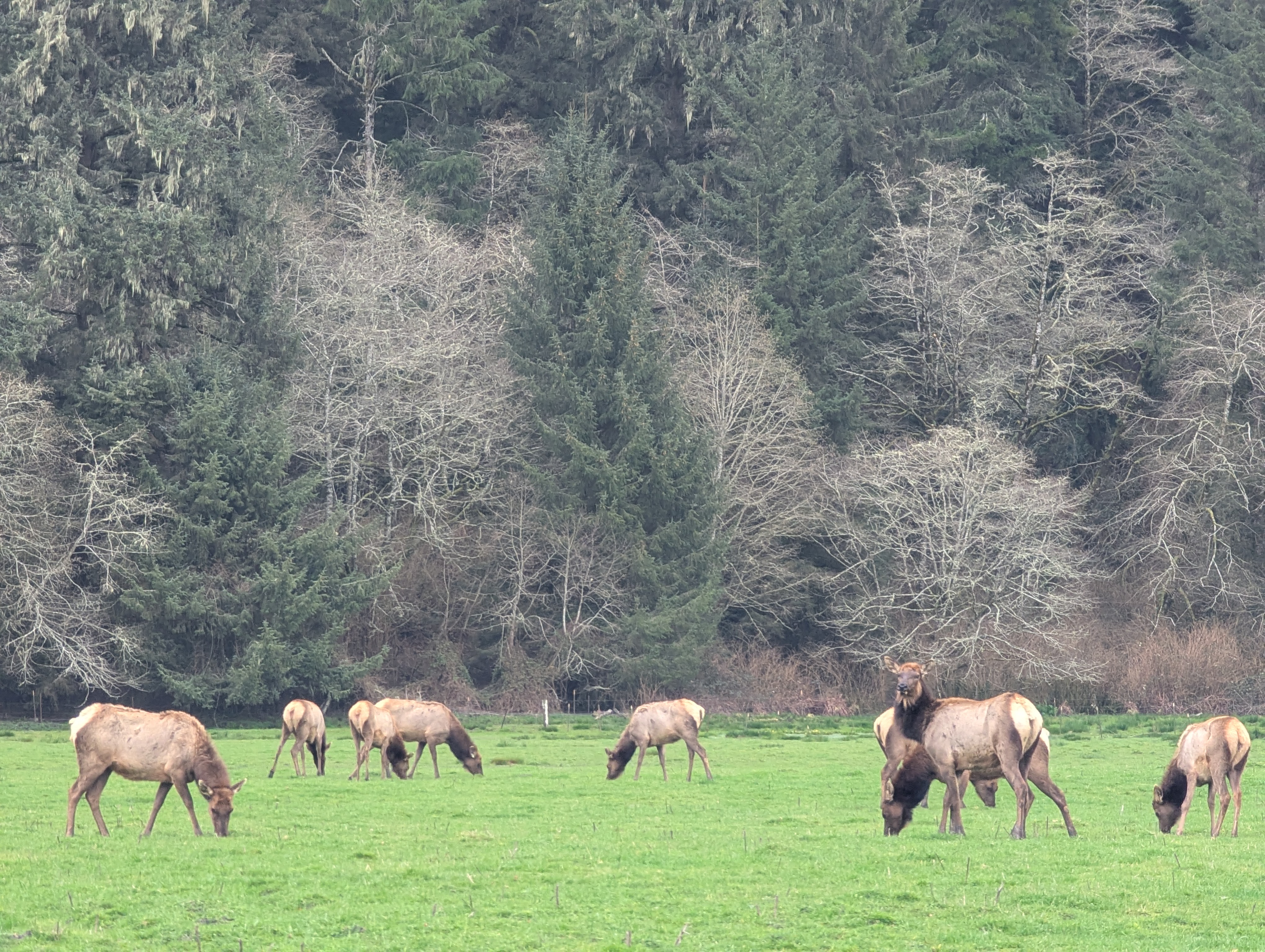
The flood plain of Redwood Creek is wide and dotted with a few farms. A large Roosevelt Elk herd grazes nearby. I stop to admire them which causes a few heads to rise and take note of me. Looks like there are some goats out there too. The cold breeze is strong enough that I don my buff and beanie while listening to the red-winged blackbird soundtrack. It takes me right back to the days when I commuted by bicycle between Arcata and Eureka.


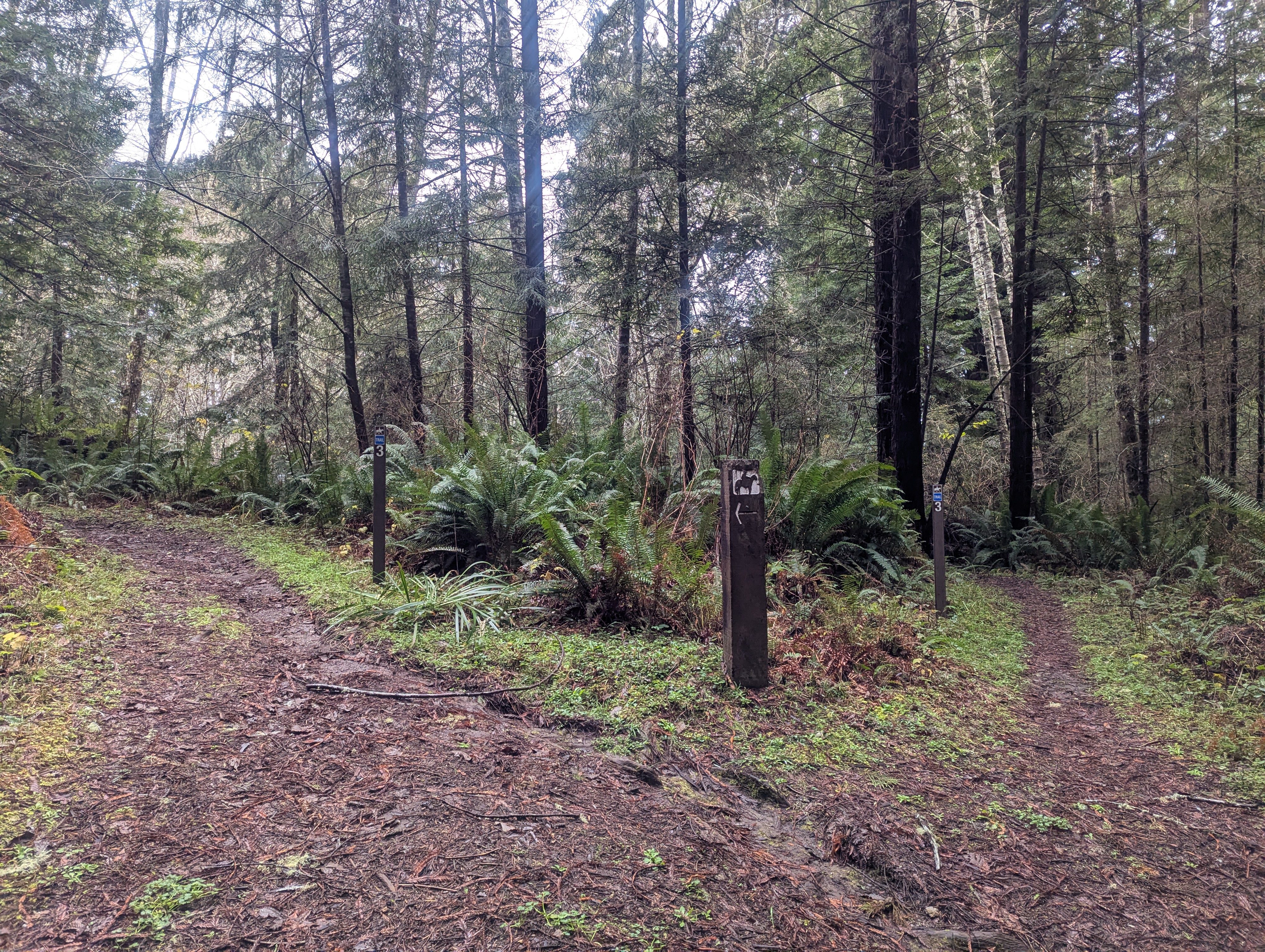
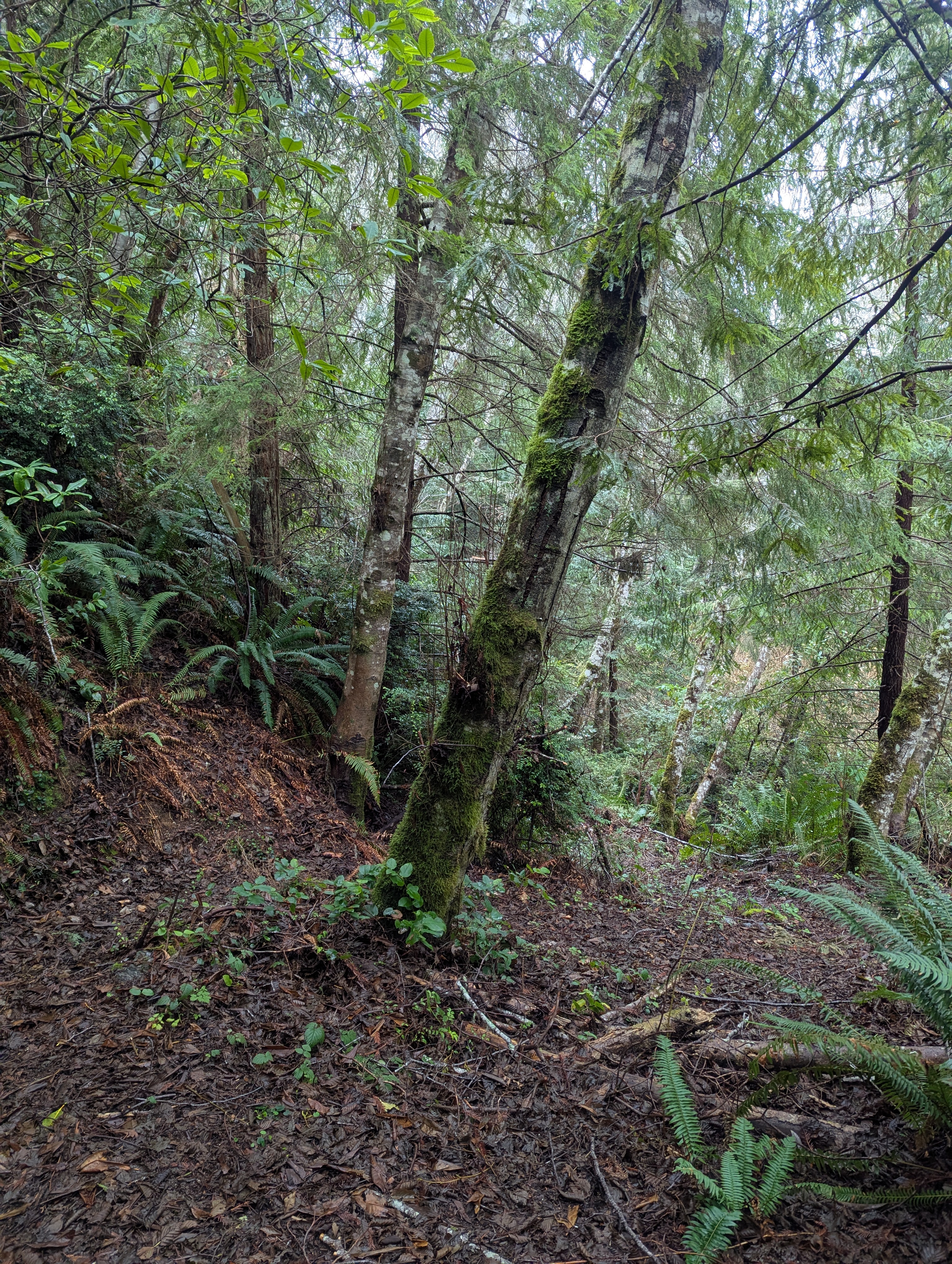
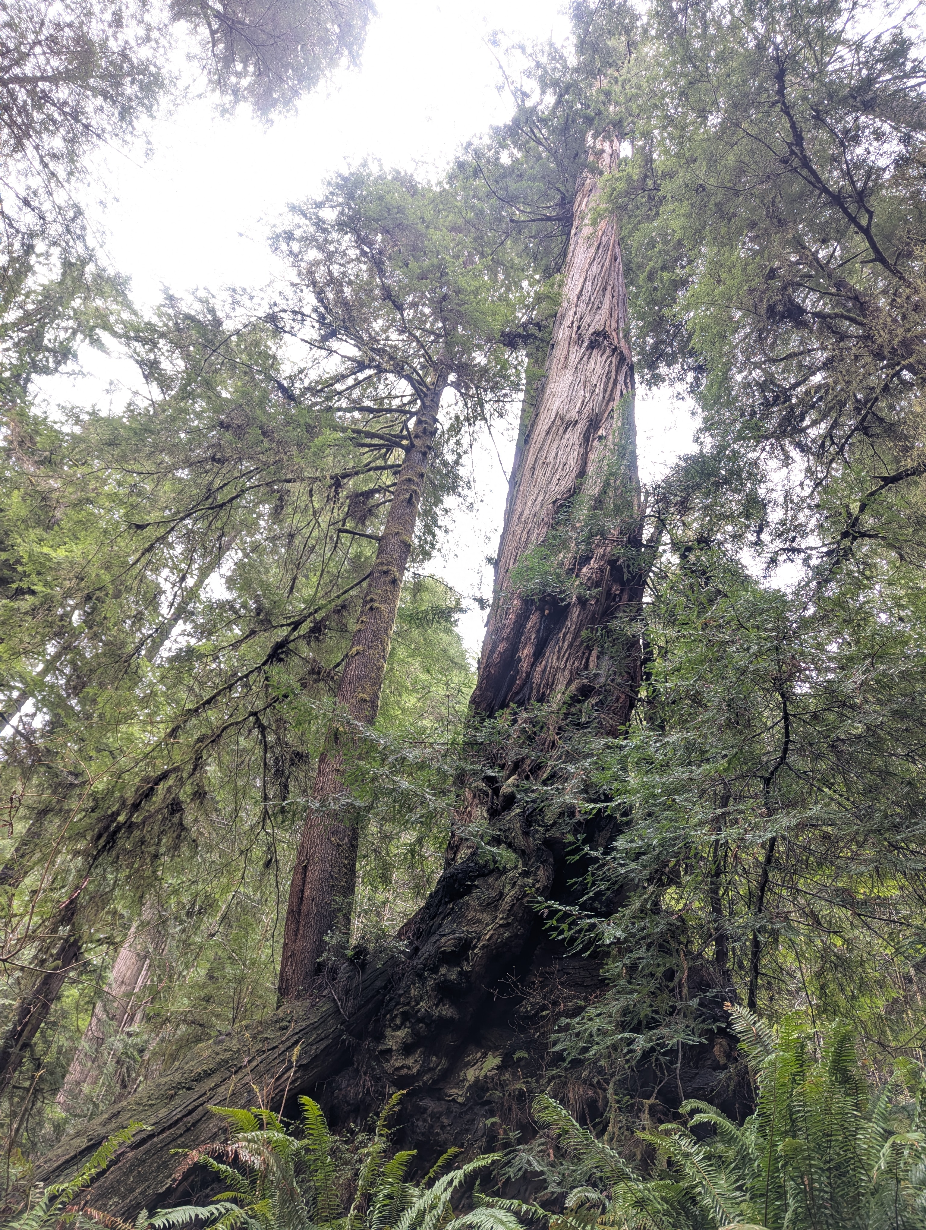
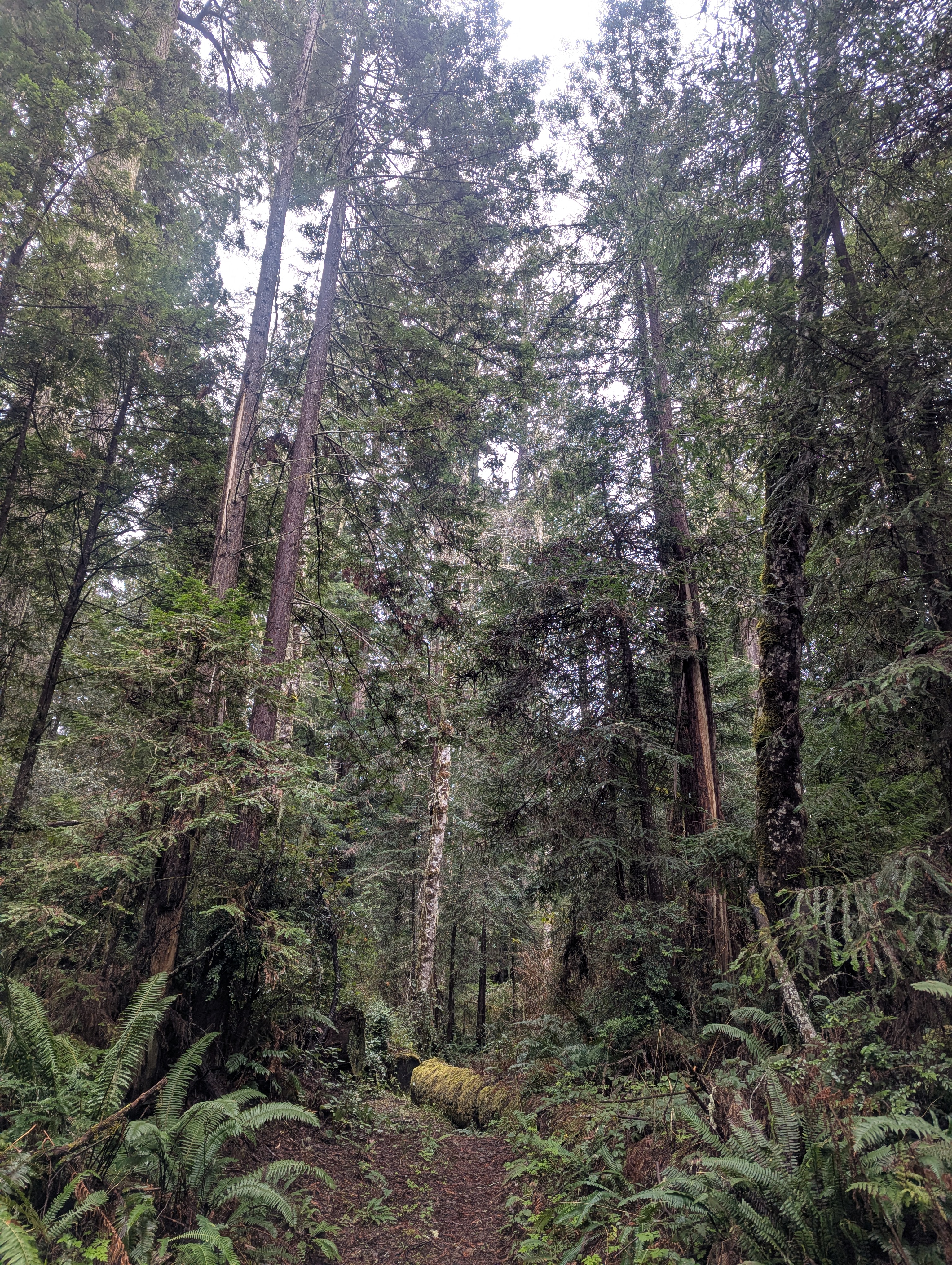
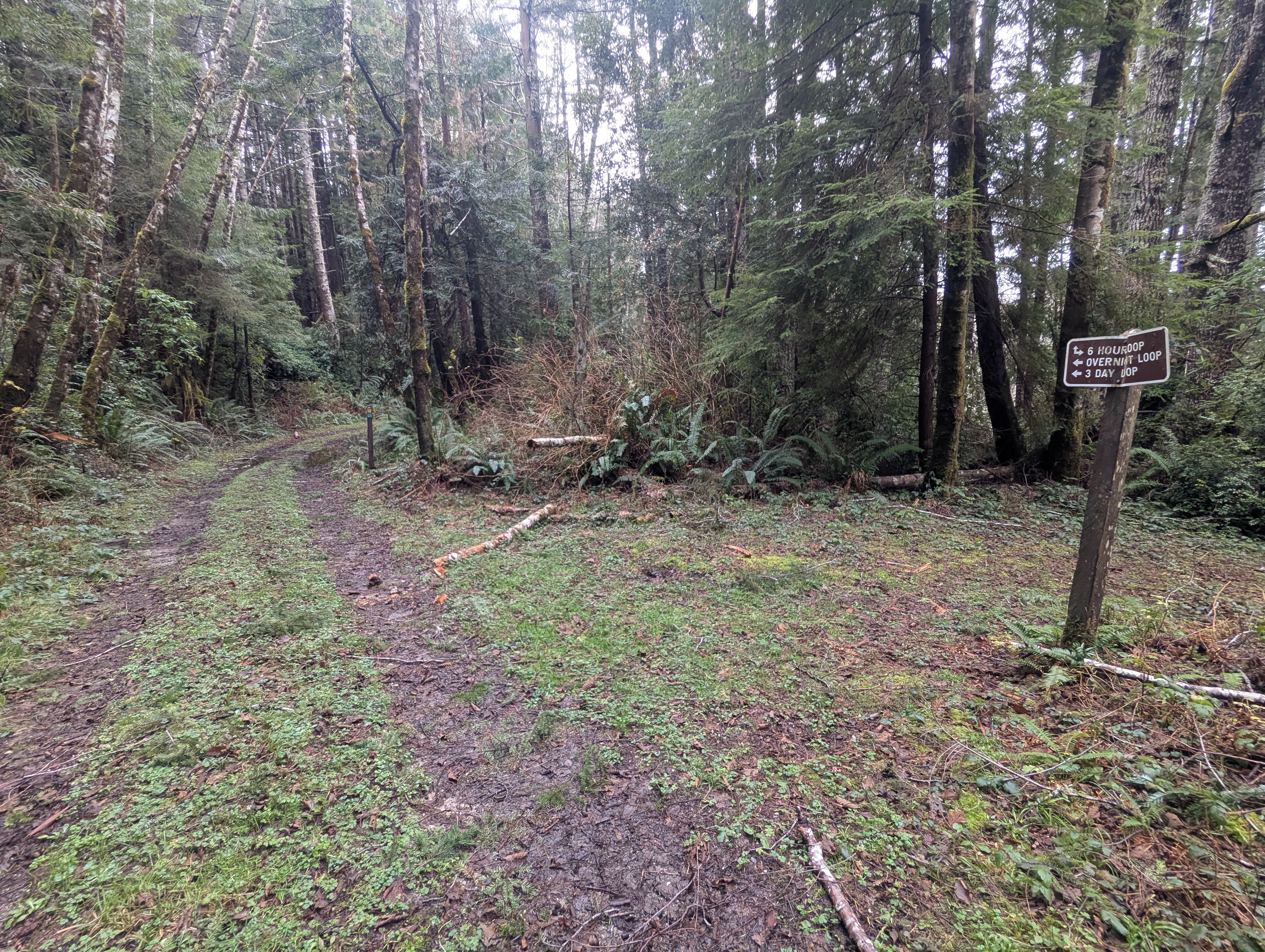
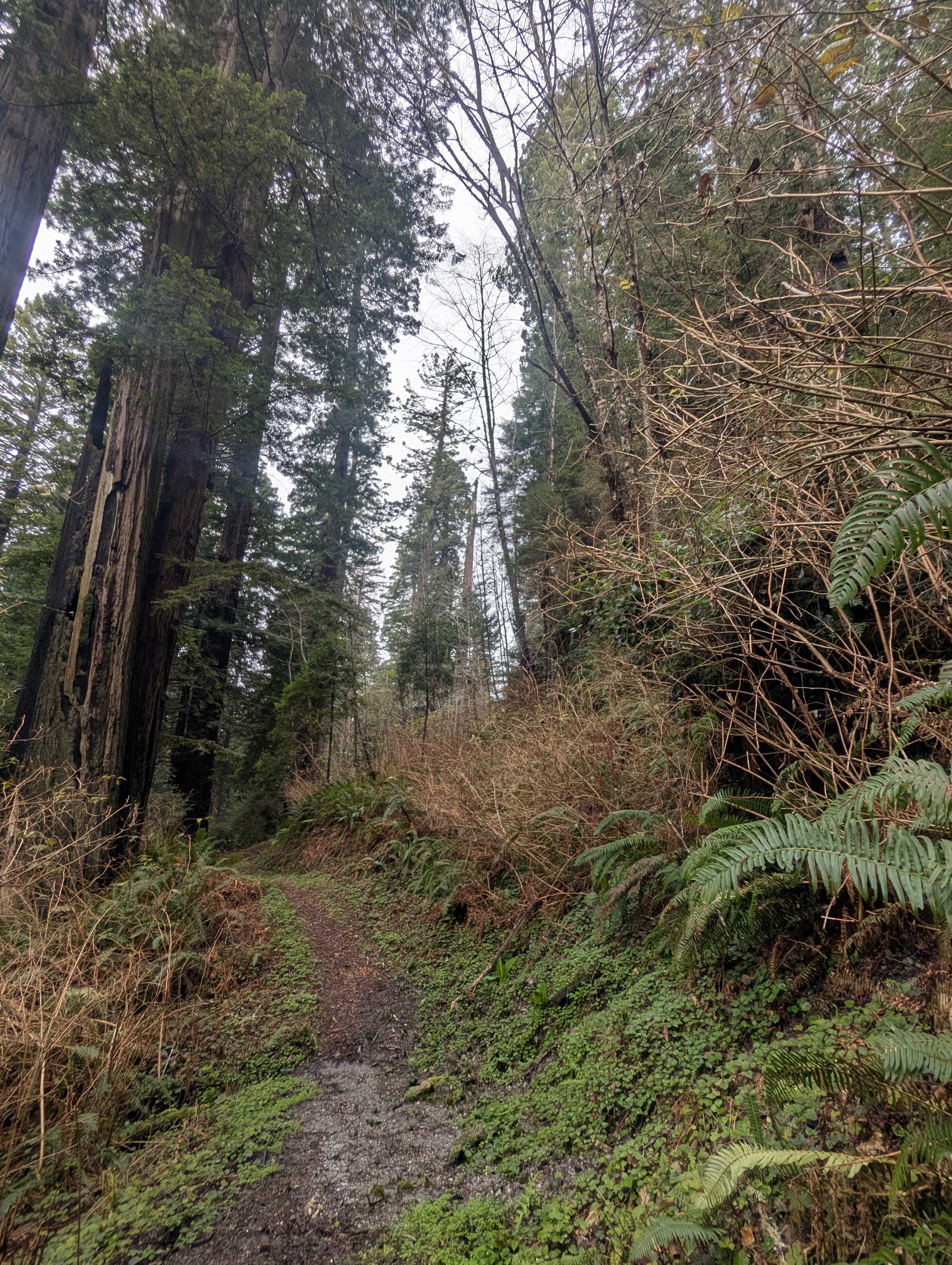
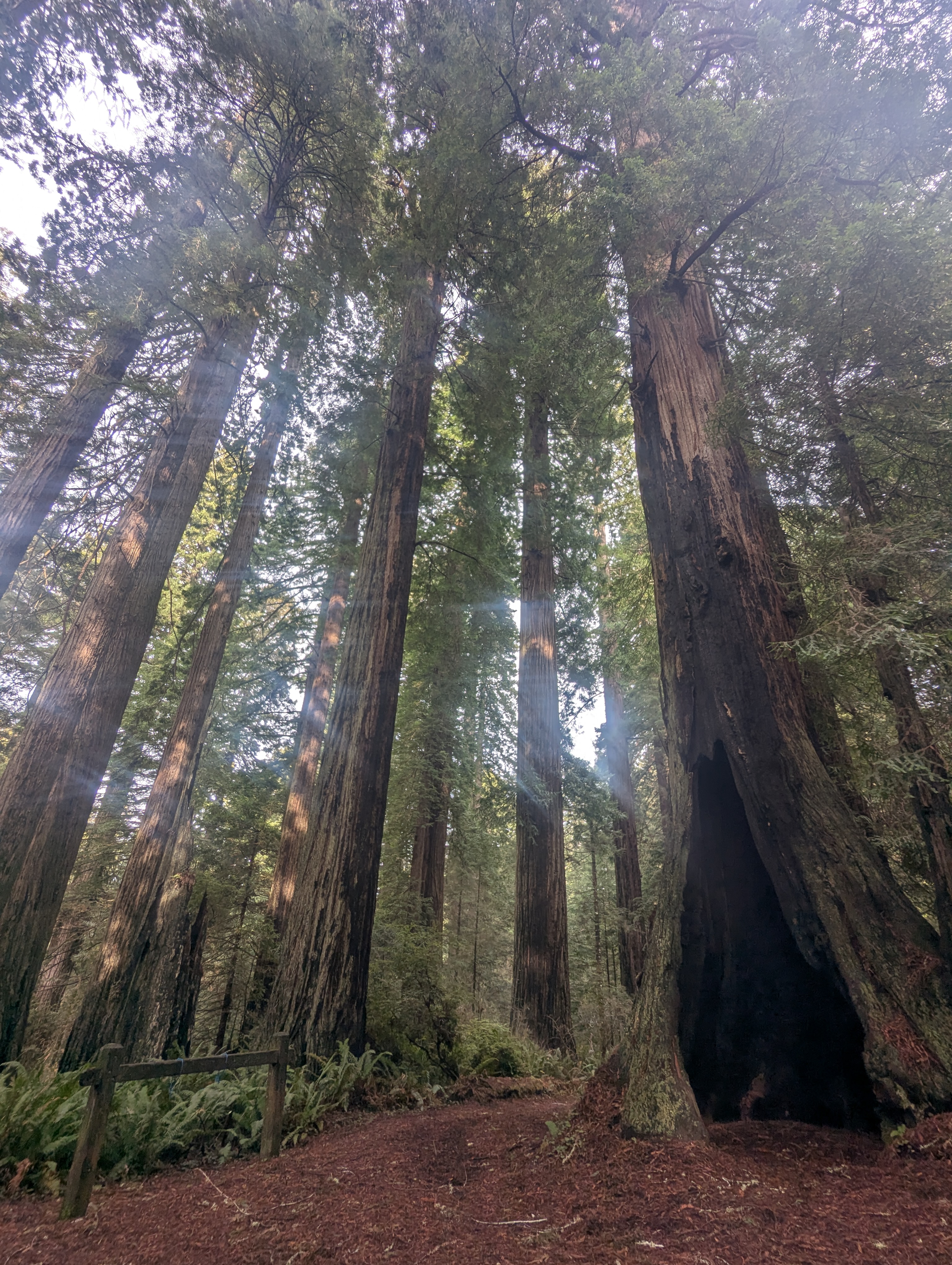
The levee circles around, following the curving edge of Redwood Creek. Once I reach the forest, I start to steeply climb. Luckily there’s some switchbacks and beautiful redwood trees. I reach a trail junction with the number 3, and fork to the left into mixed conifer forest.
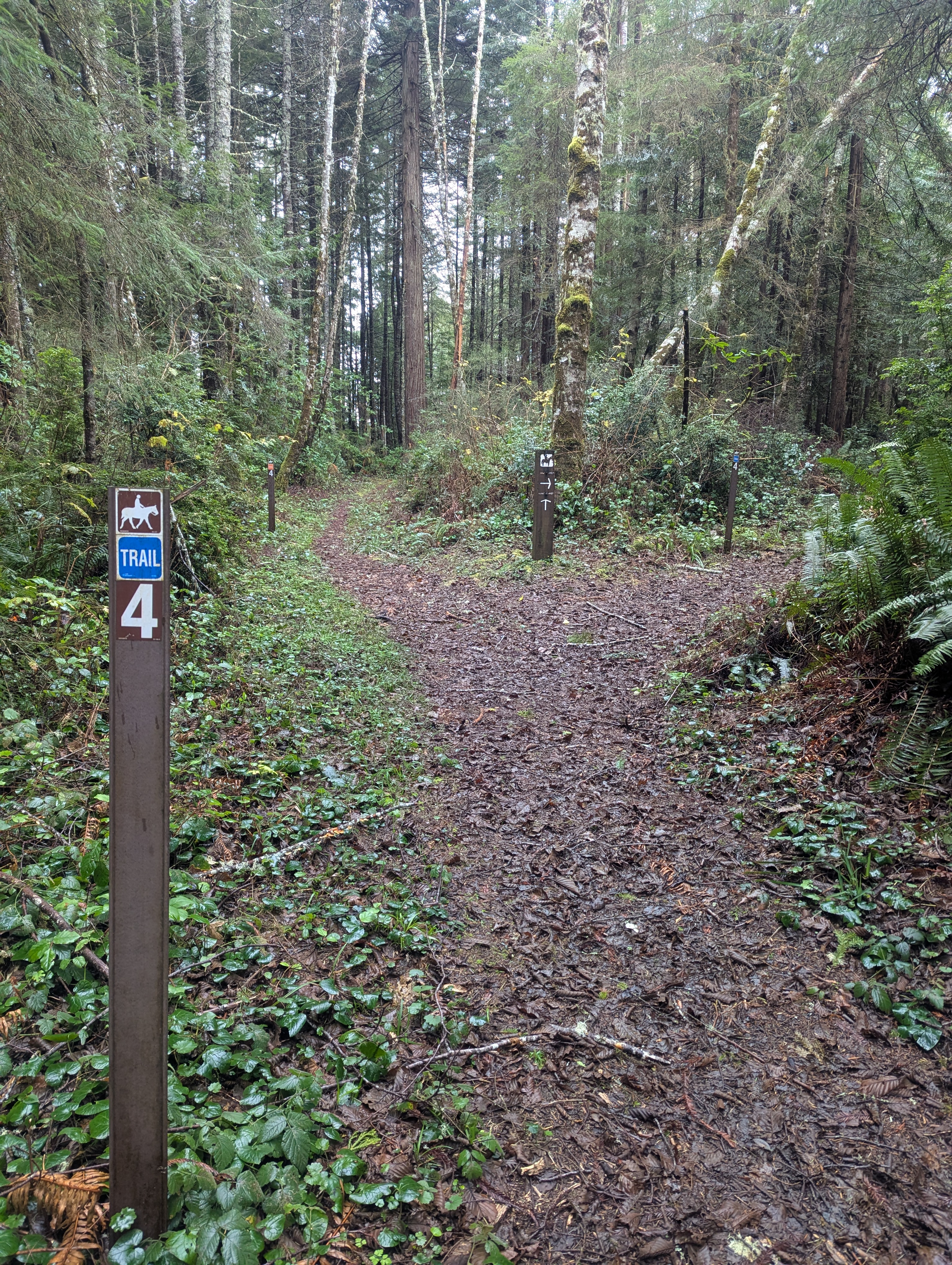
This trail network is known as the 3 hour and 6 hour loop trails. These trails are intended for horses and I’m guessing that you could ride a horse and complete the Ridge Loop in 3 hours and the McArthur Creek Loop in 6 hours. Maybe they’re not called this anymore but some of the trail signs still have these names. Regardless, with the trail in its current condition it took me a few minutes past 7.5 hours to traverse the loops on foot. The temporary trail markers all depict a horse and maybe a horse could make it through the Ridge Loop but definitely not the McArthur Loop.
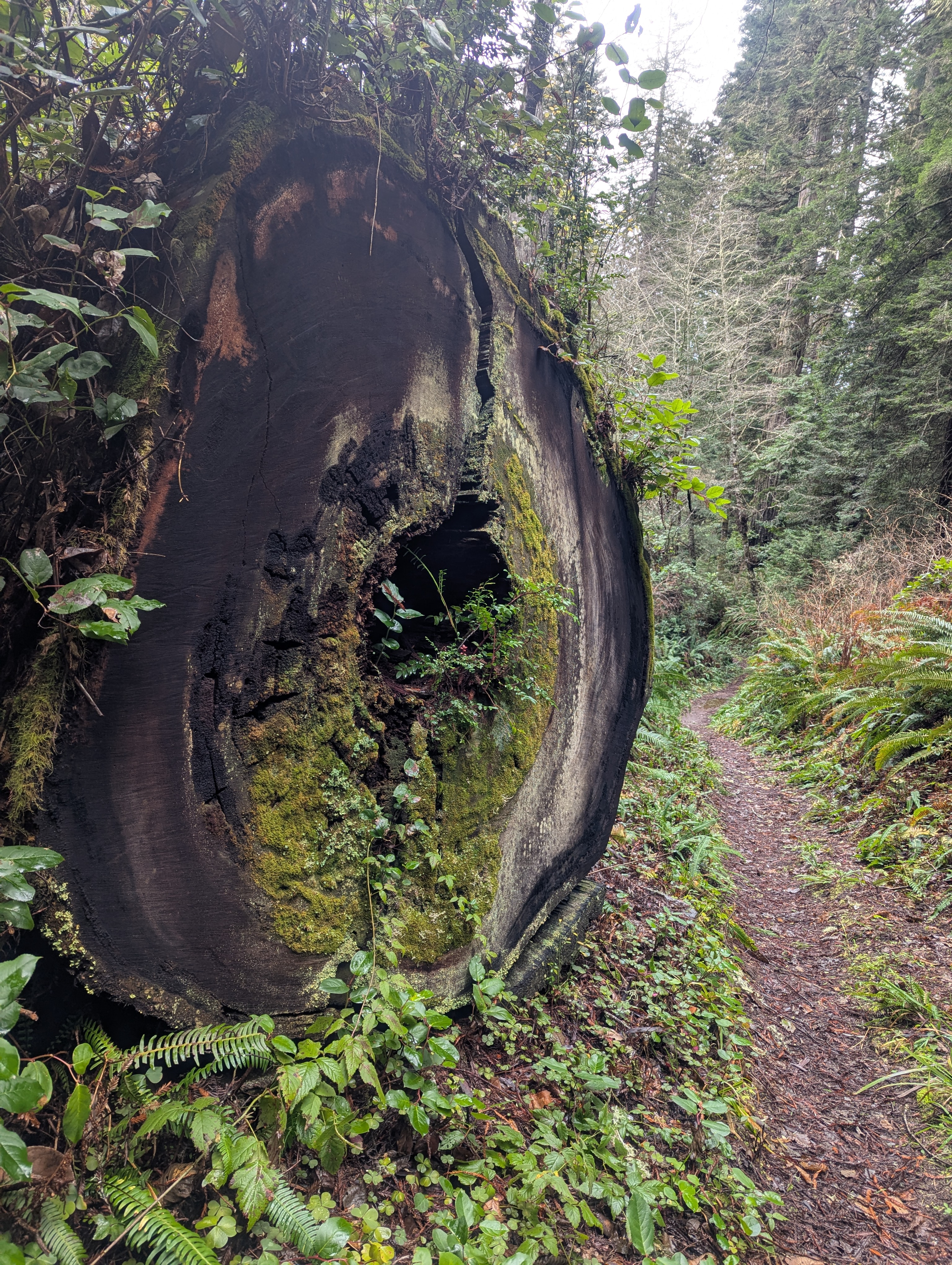
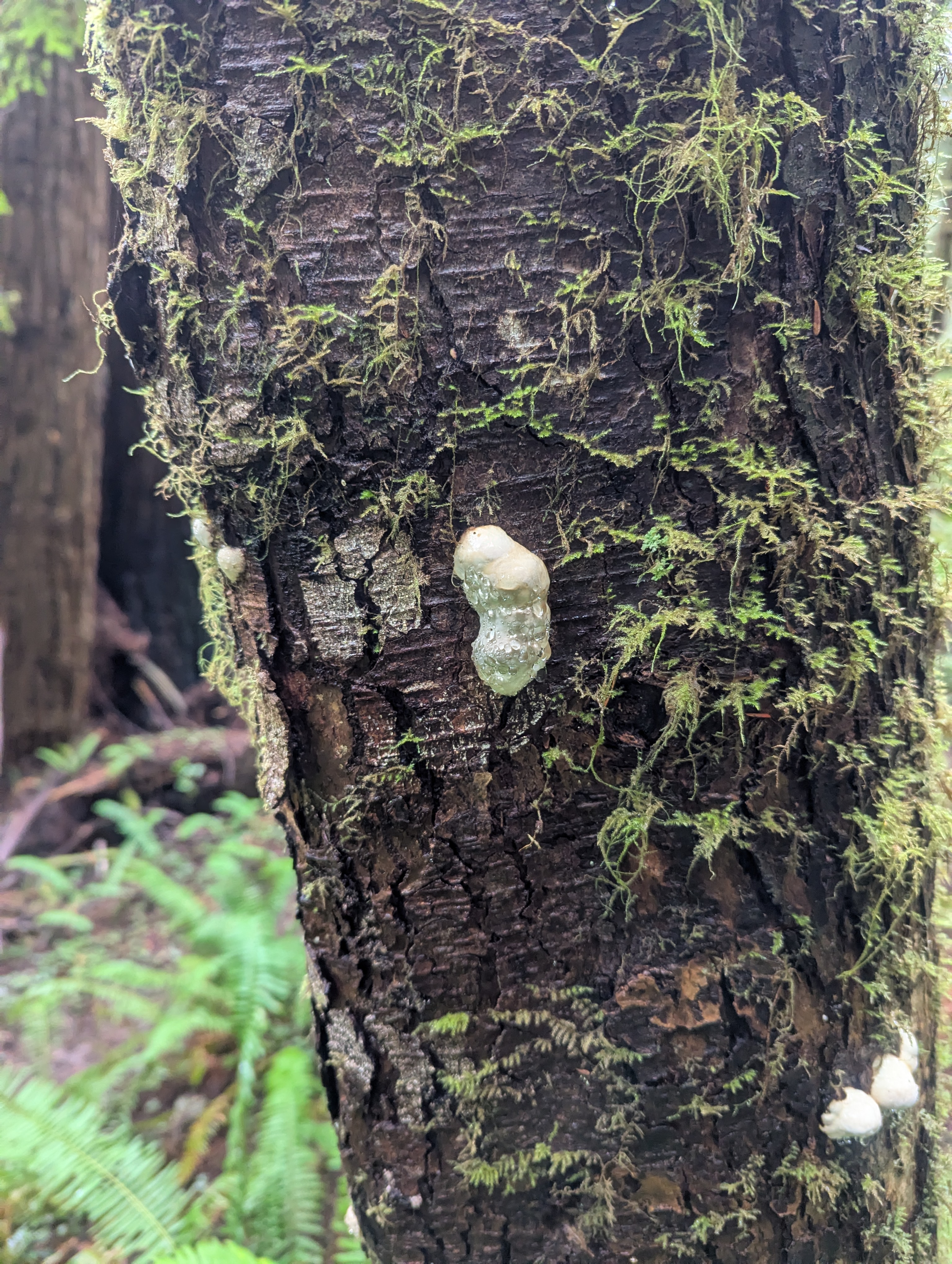
Just past the 4 marker, which might be fairly aligned with mileage, I find a little log to sit on for a break. I don’t have a replacement sit pad yet so I sit on my rain skirt to keep my butt dry. My mocha, which still has a bit of warmth, has too much chocolate in it. As I pack up, I notice that several of the nearby trees are missing their bark all at about the same level. Deer? Bear? Elk?
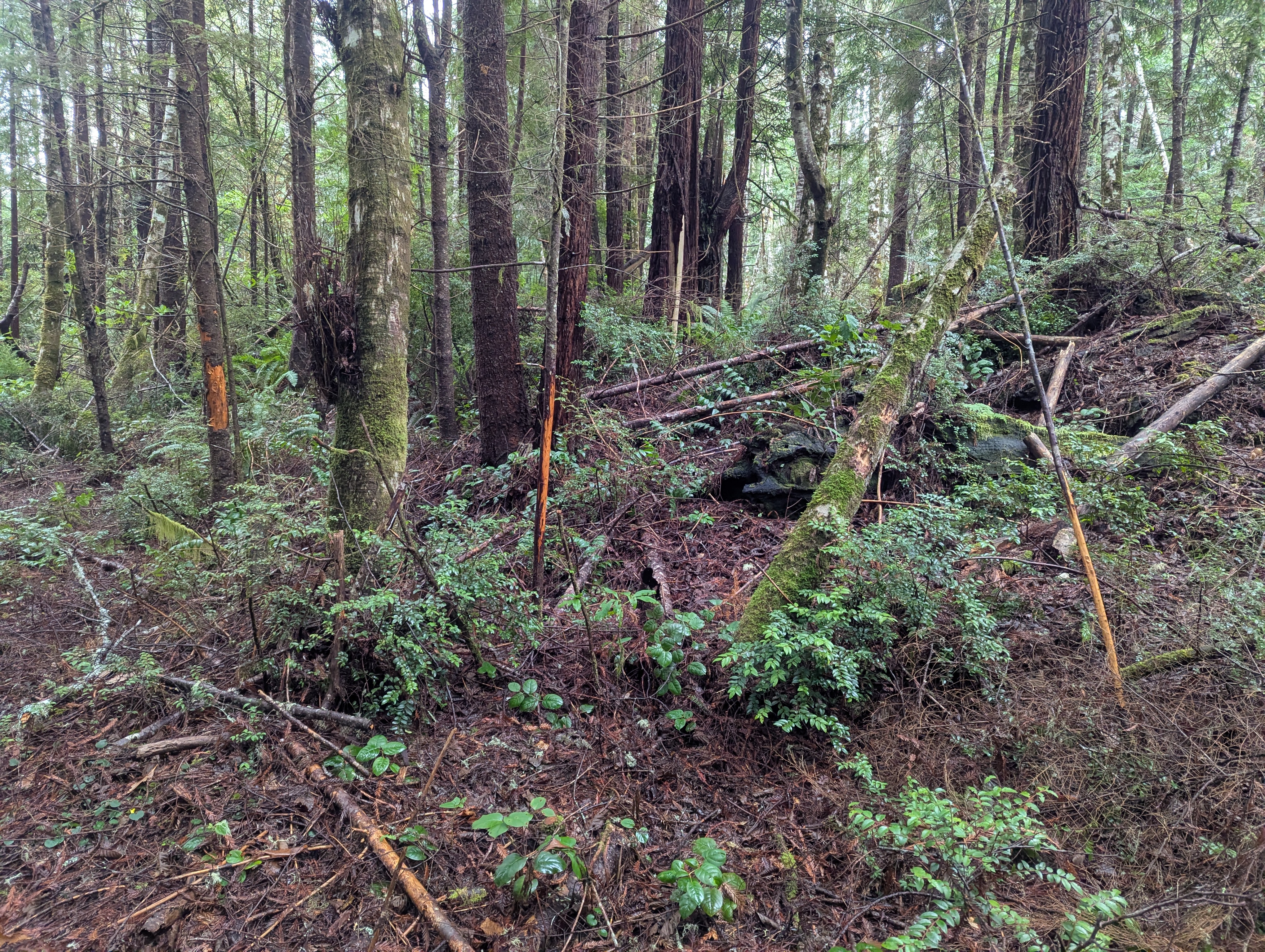

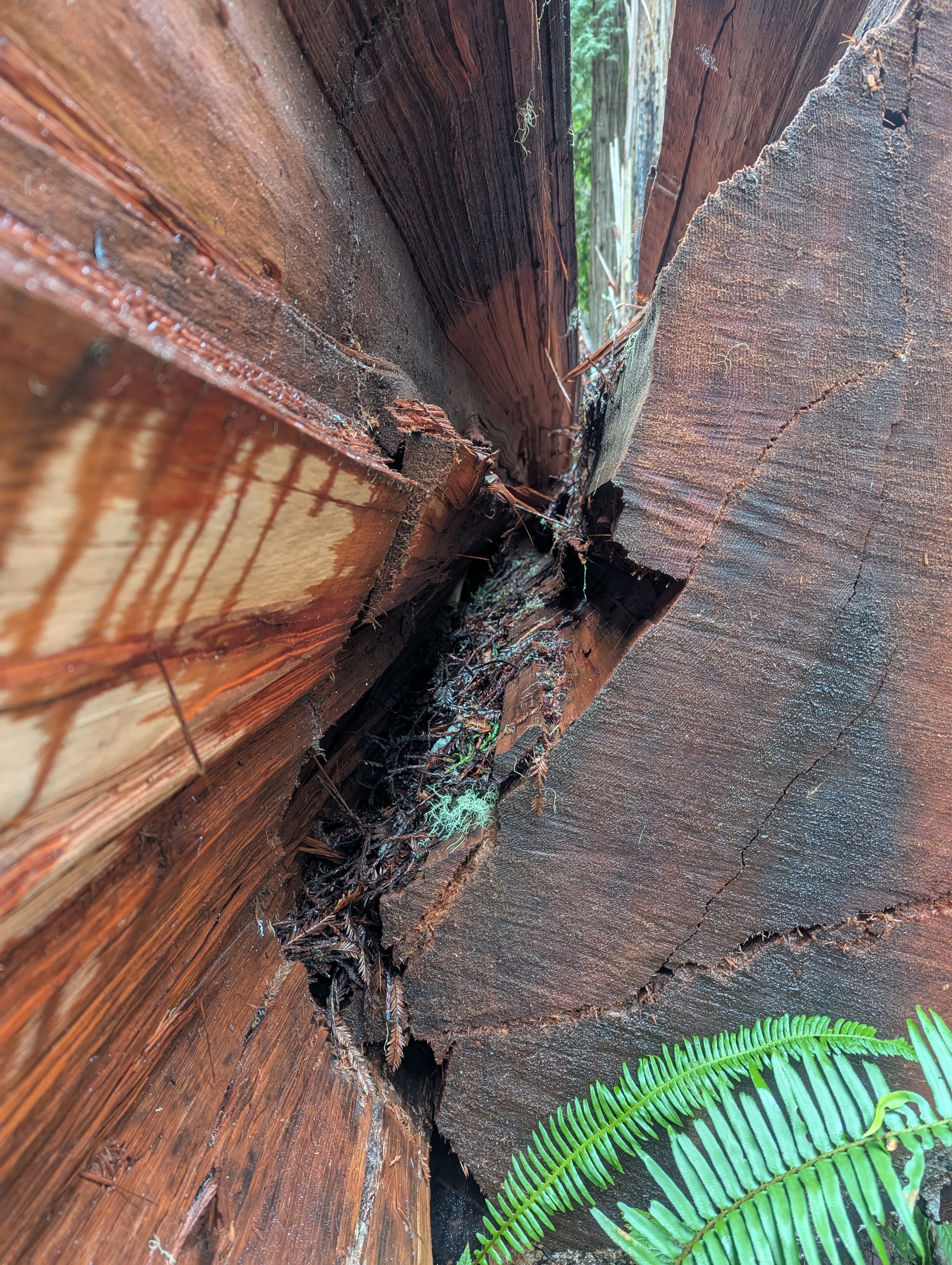
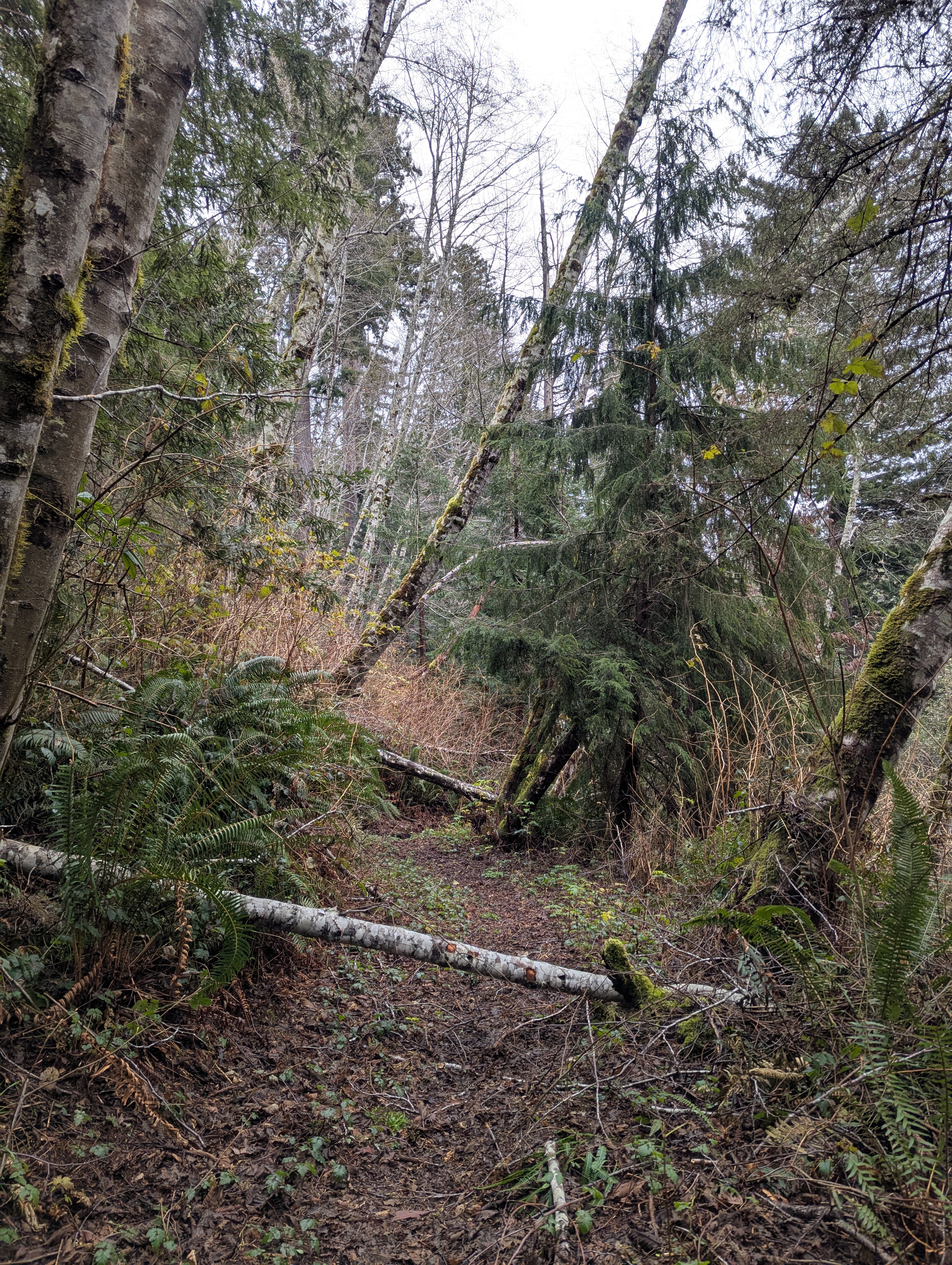
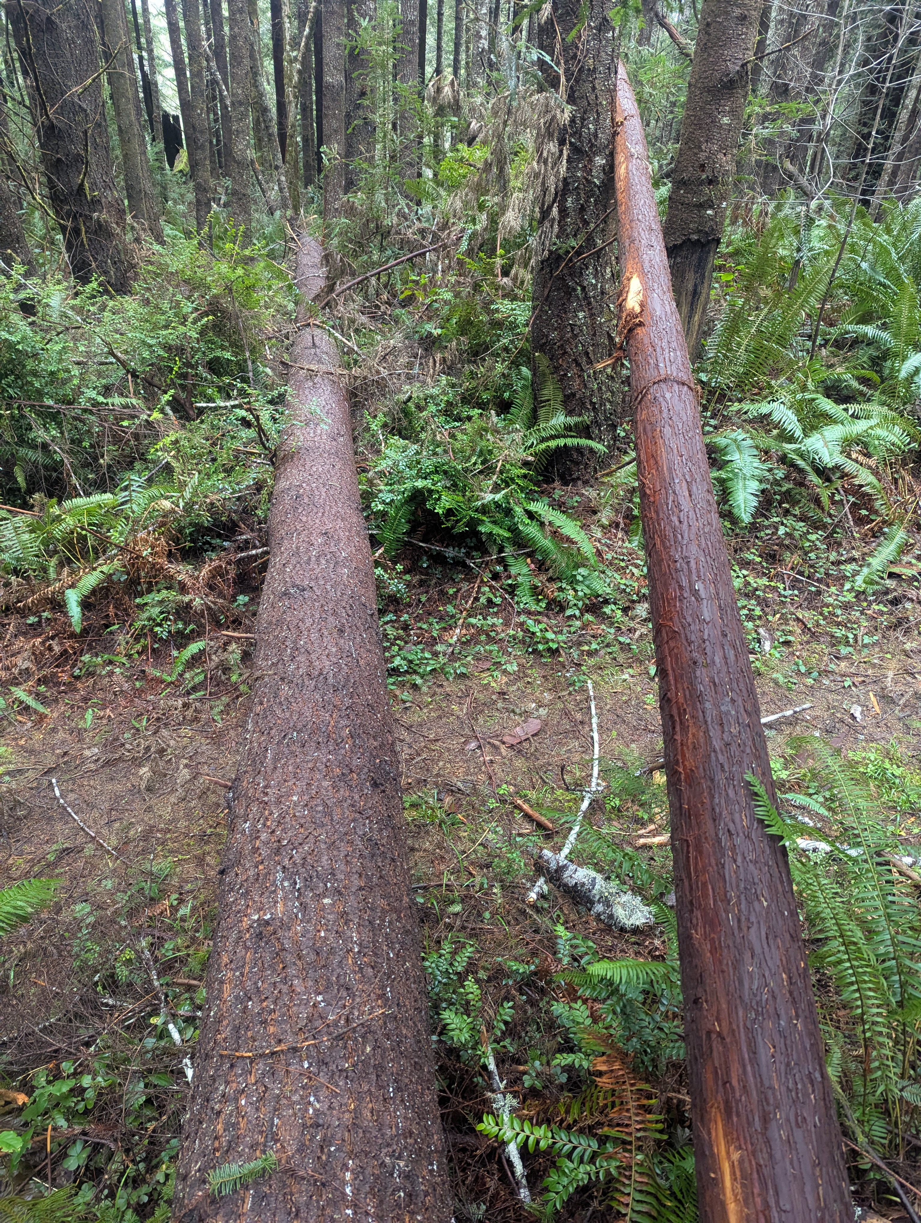
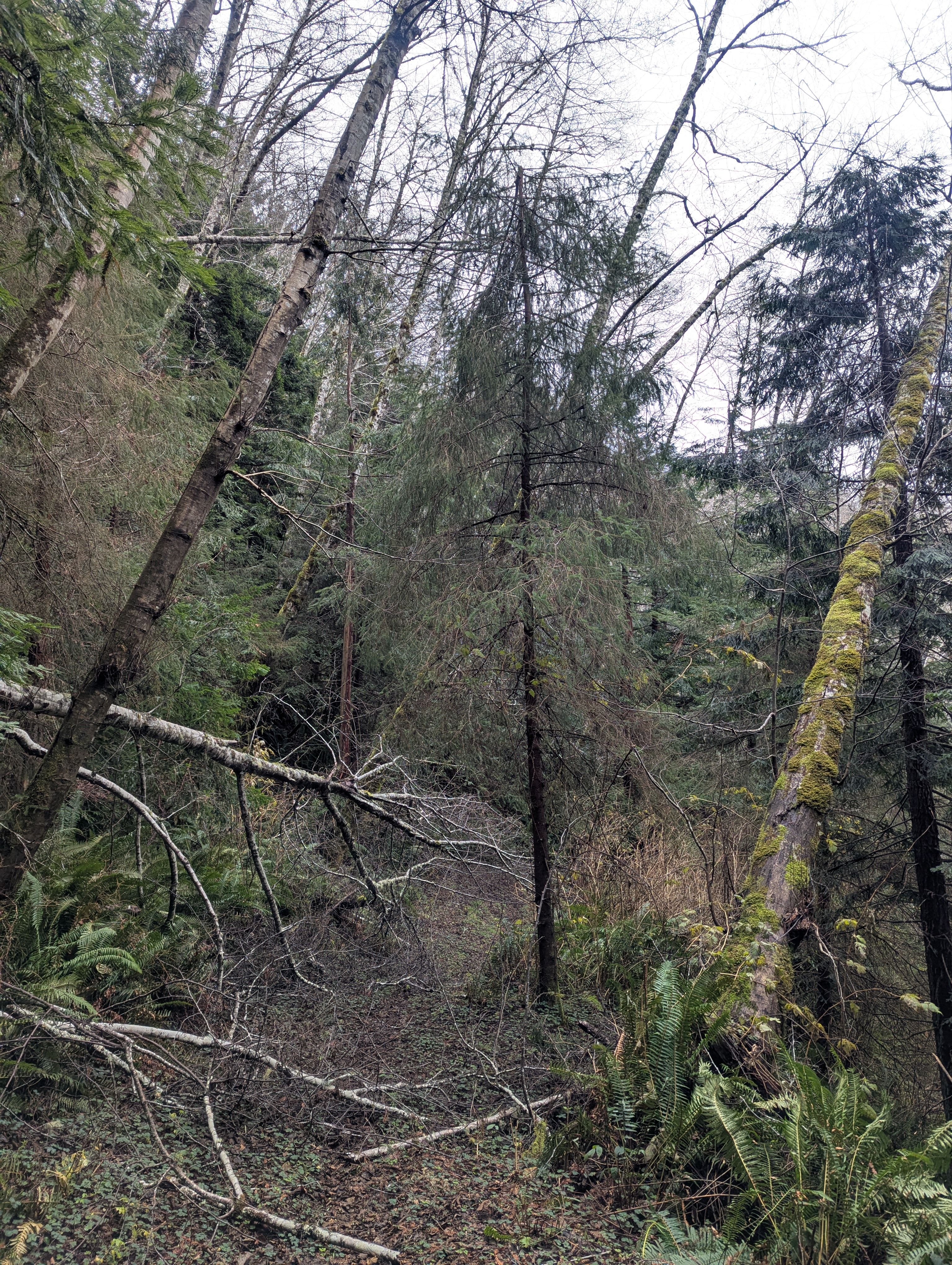
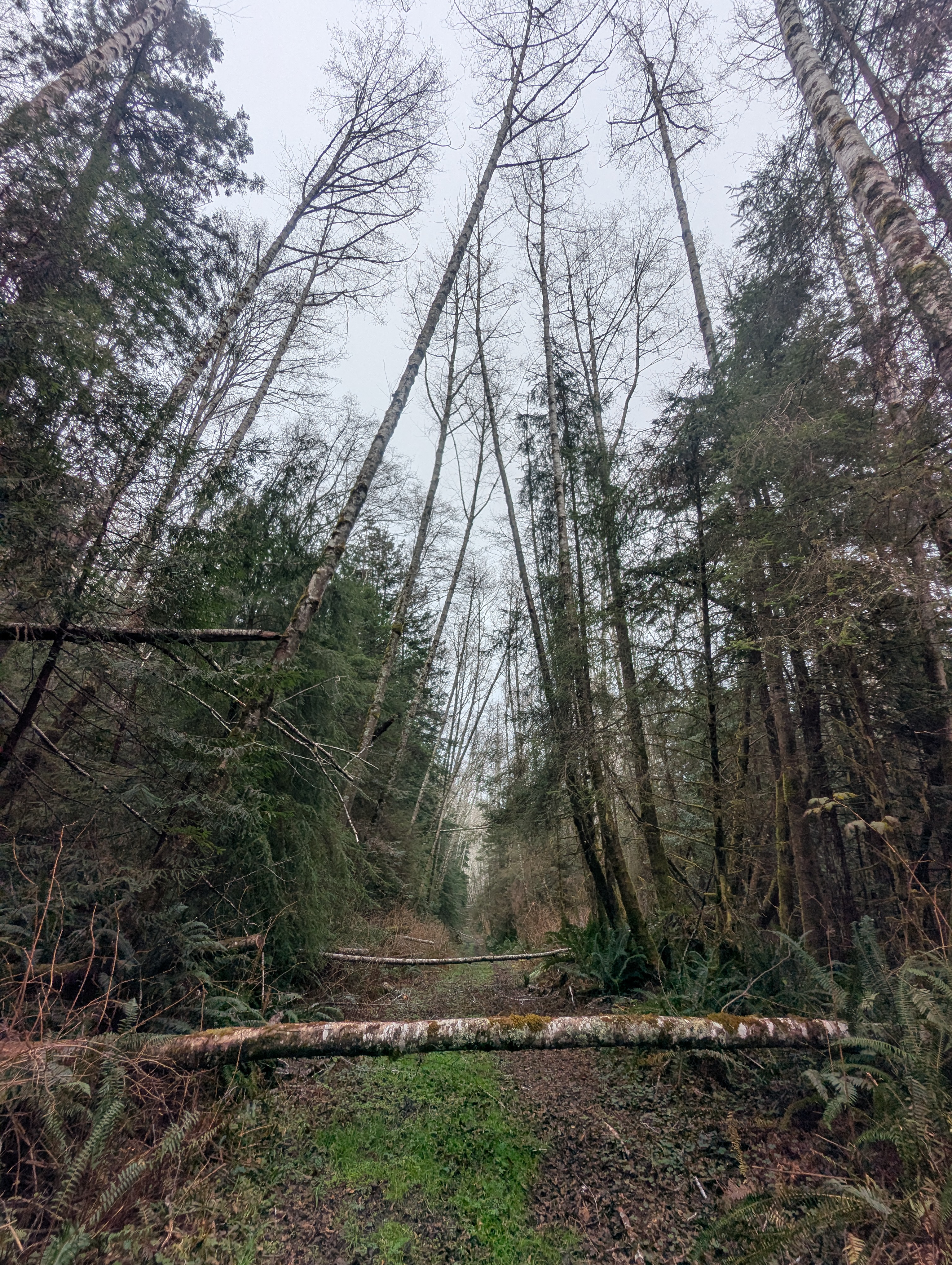
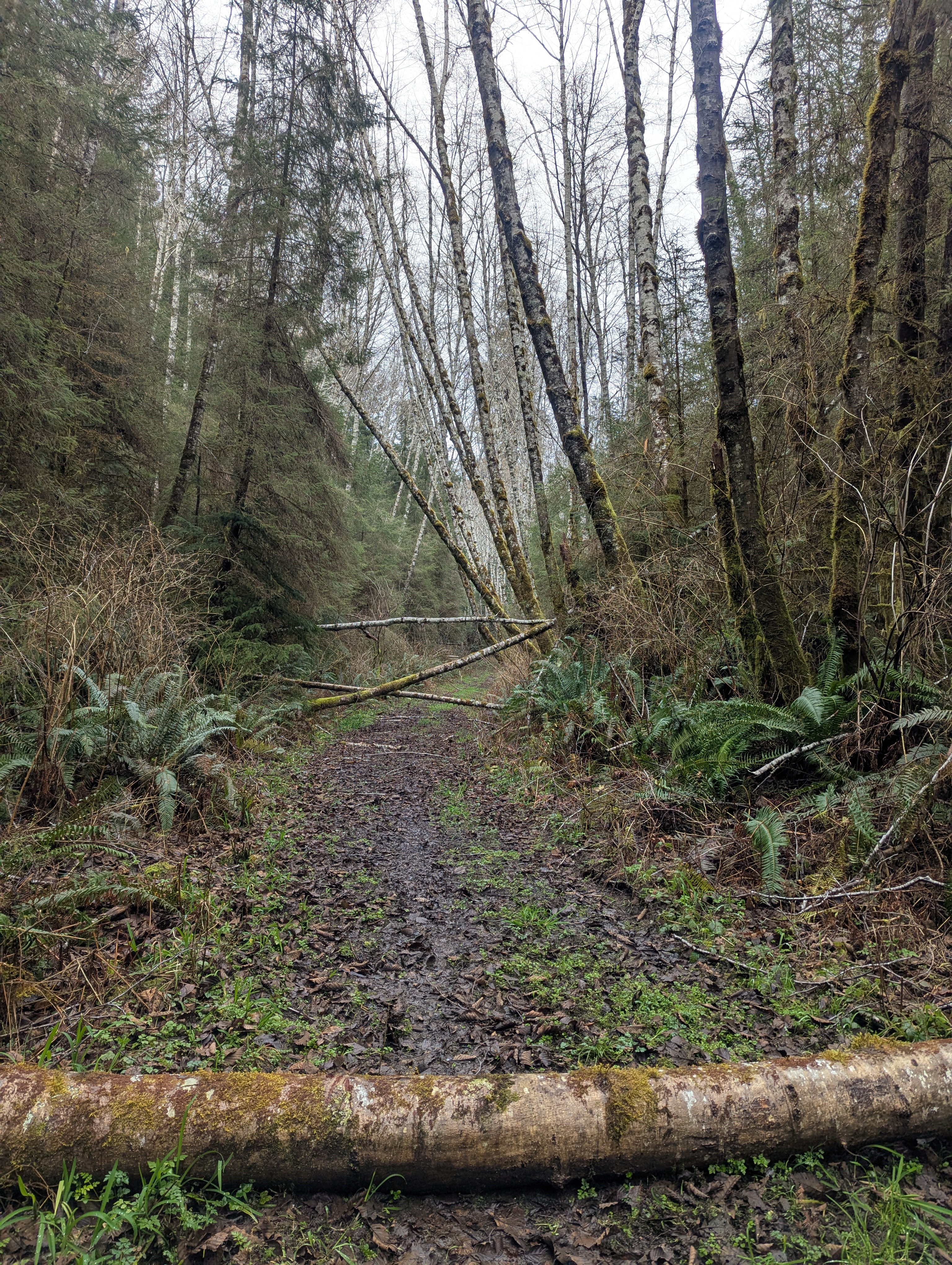
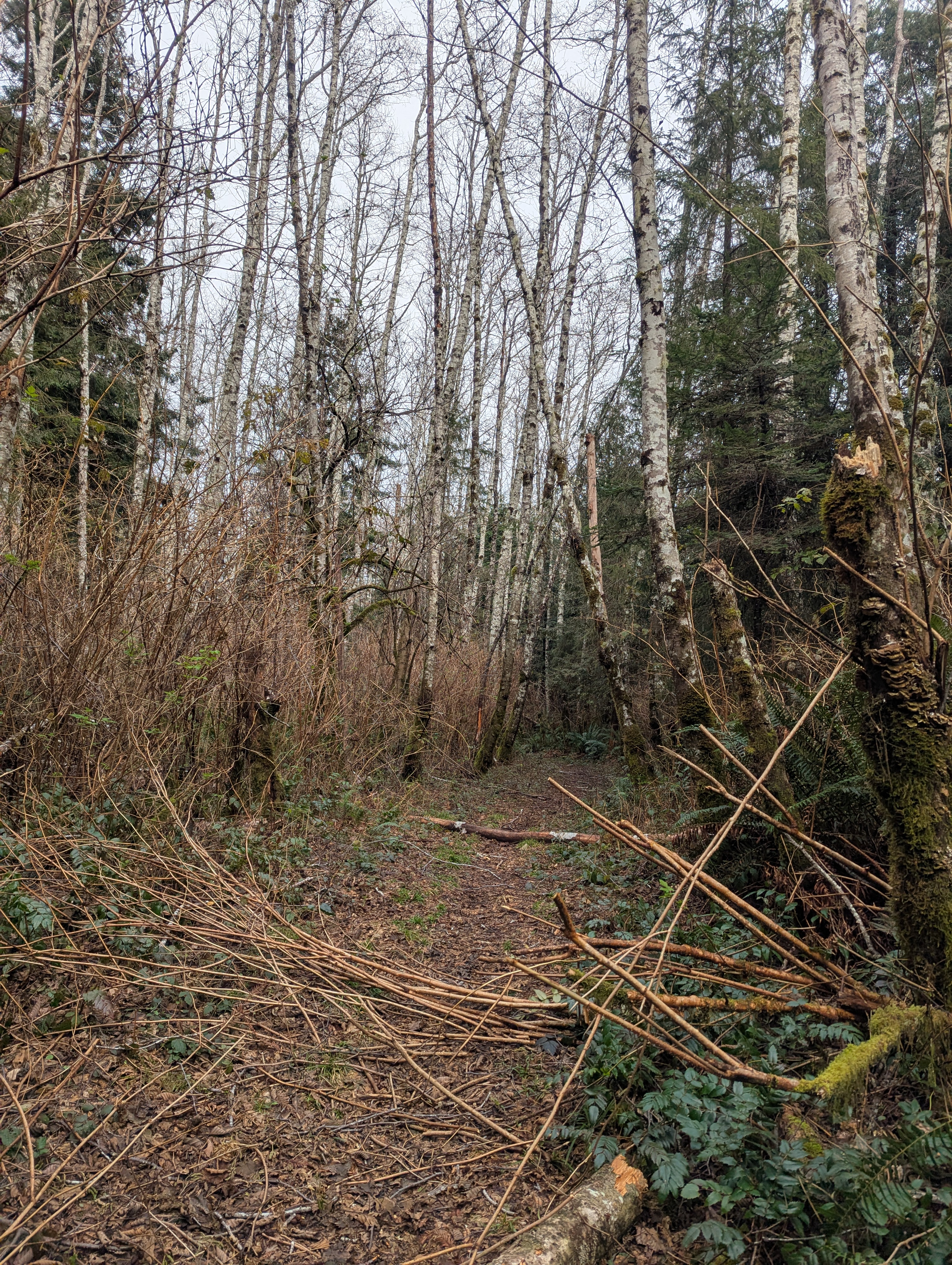
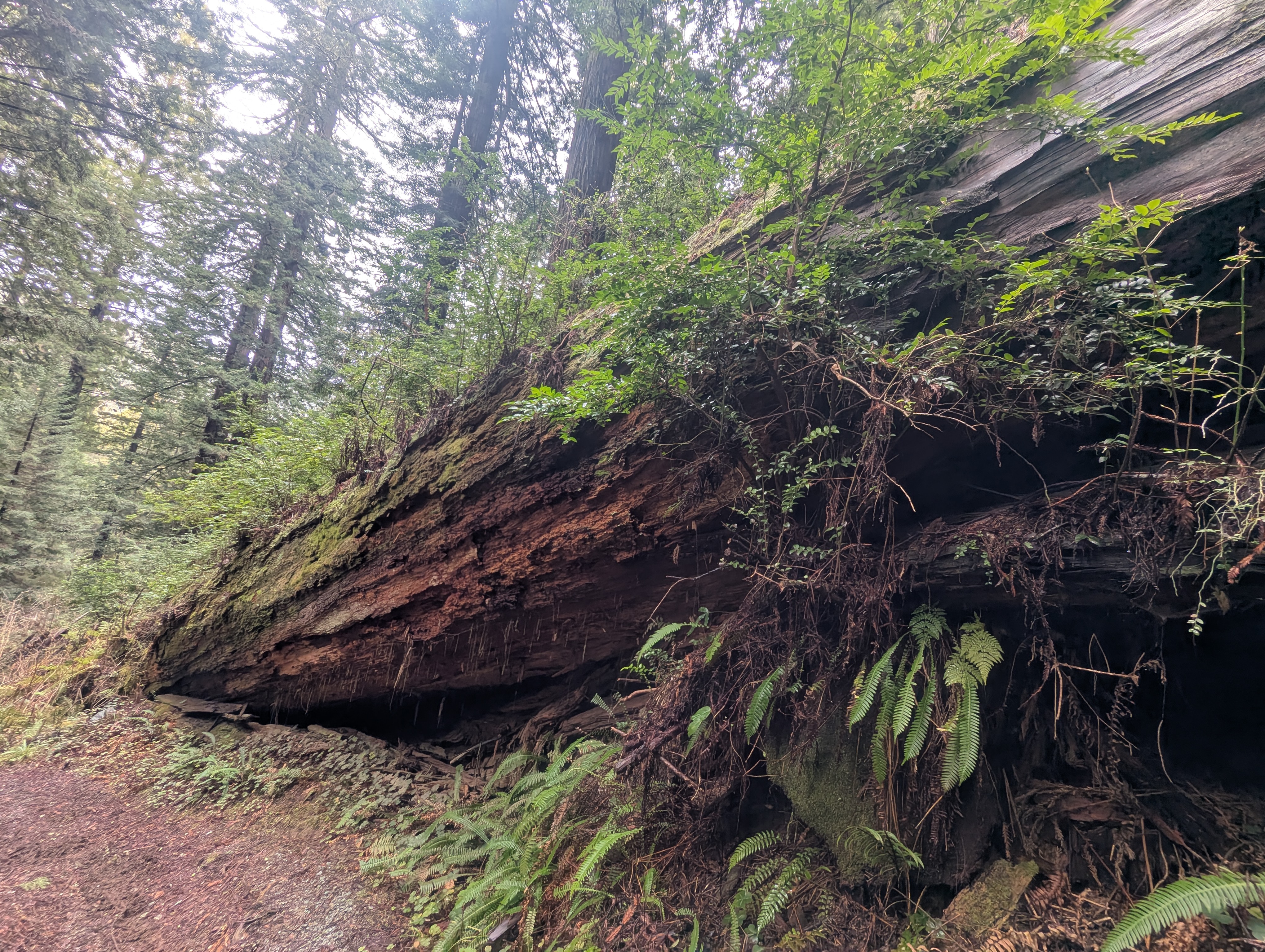
I hesitate as I start the descent to McArthur Creek because the trail is littered with blow downs. I have to take my pack off to scramble under a tree and I consider turning back. But I decide to keep going to see what my fate shall be. All the branches and small trees are manageable to maneuver around so I keep forging my way down.


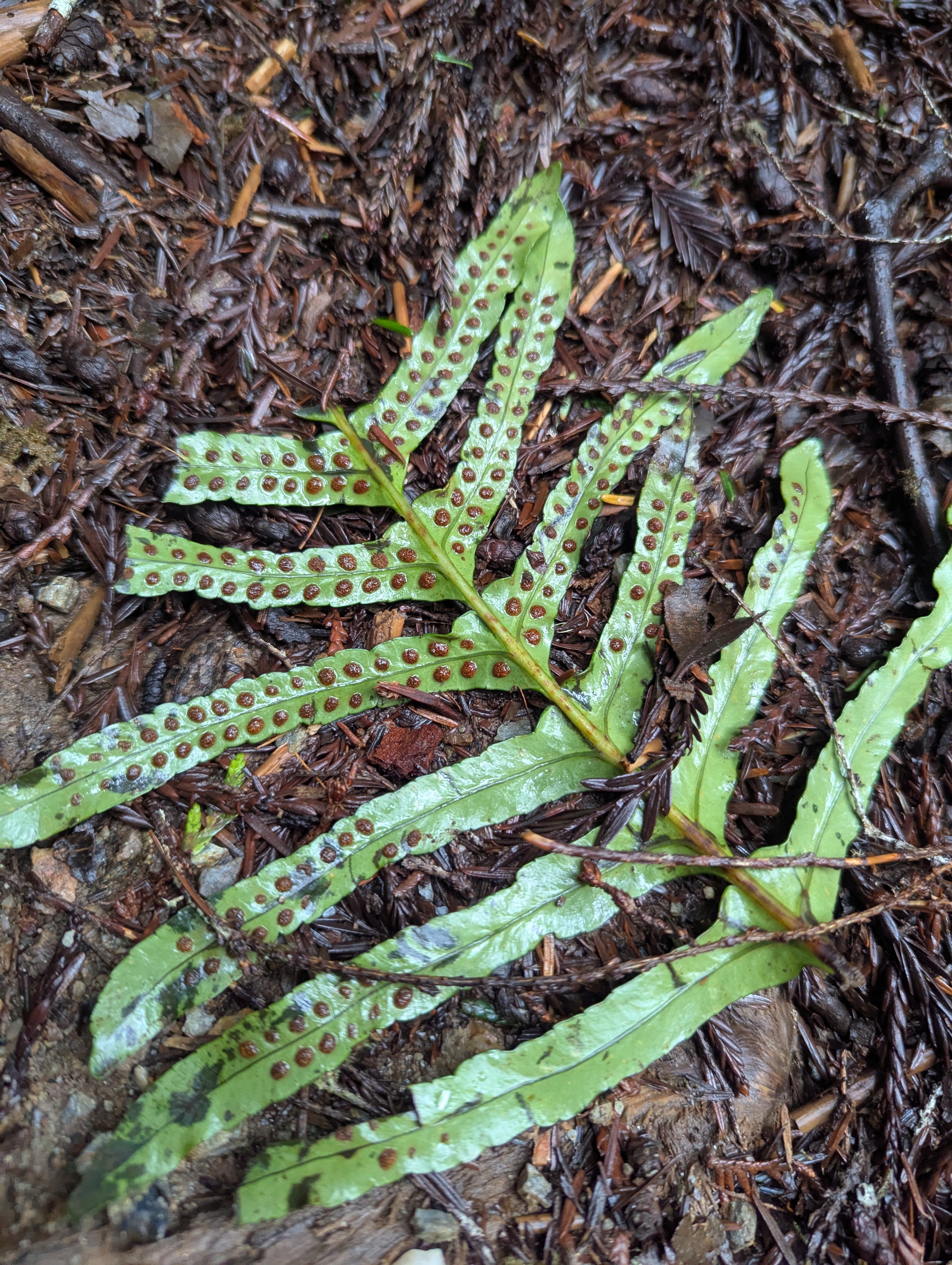
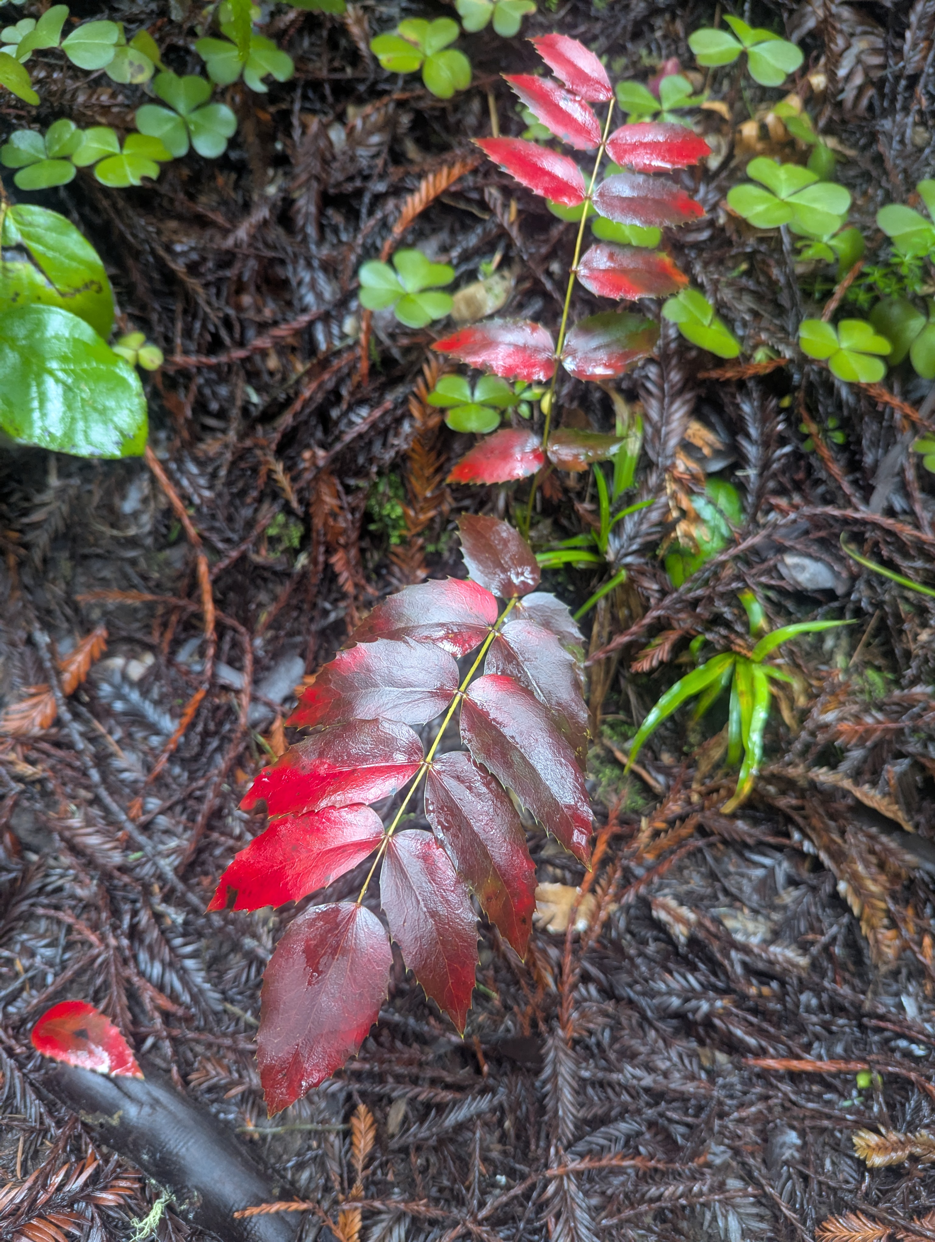
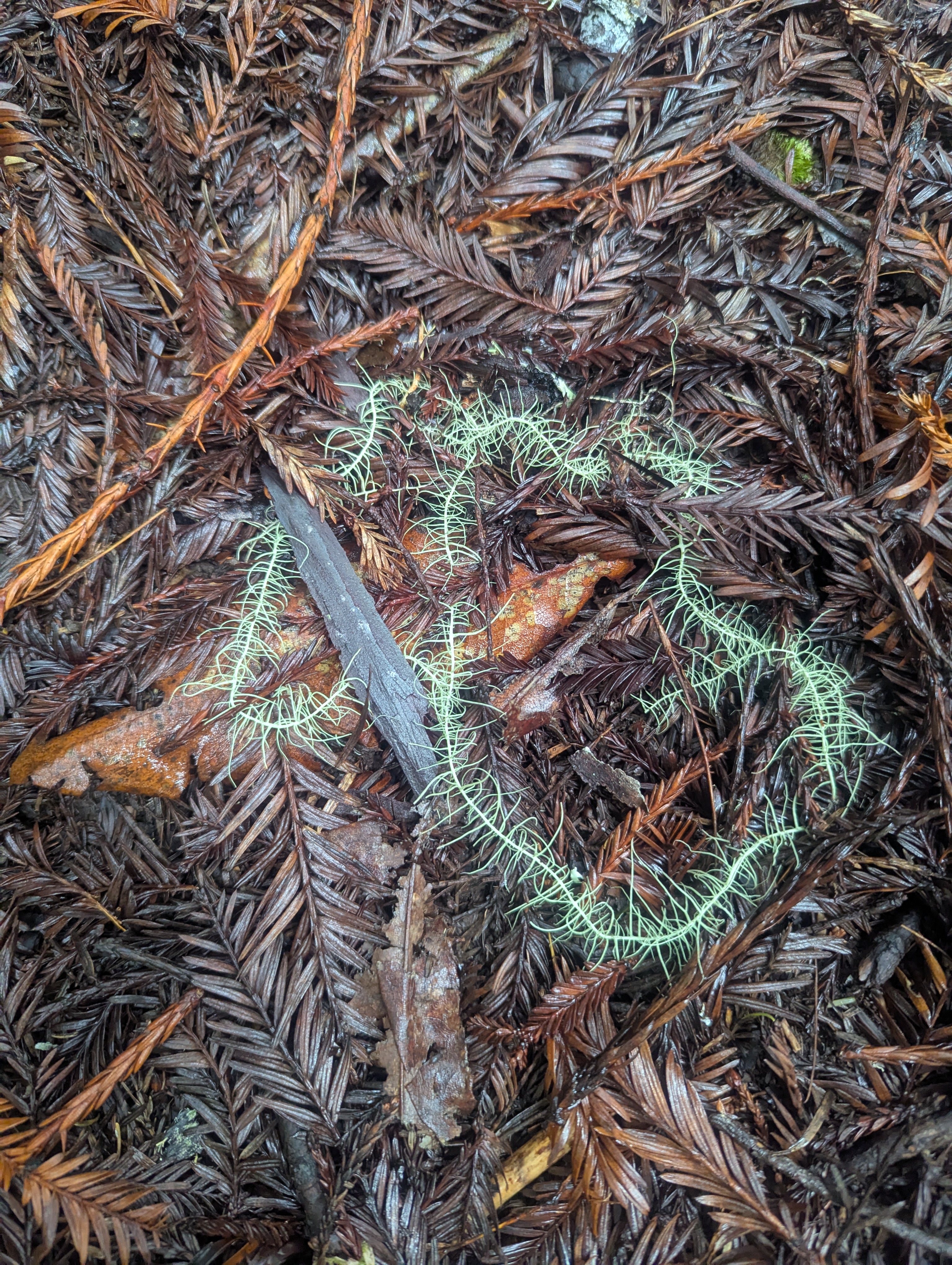
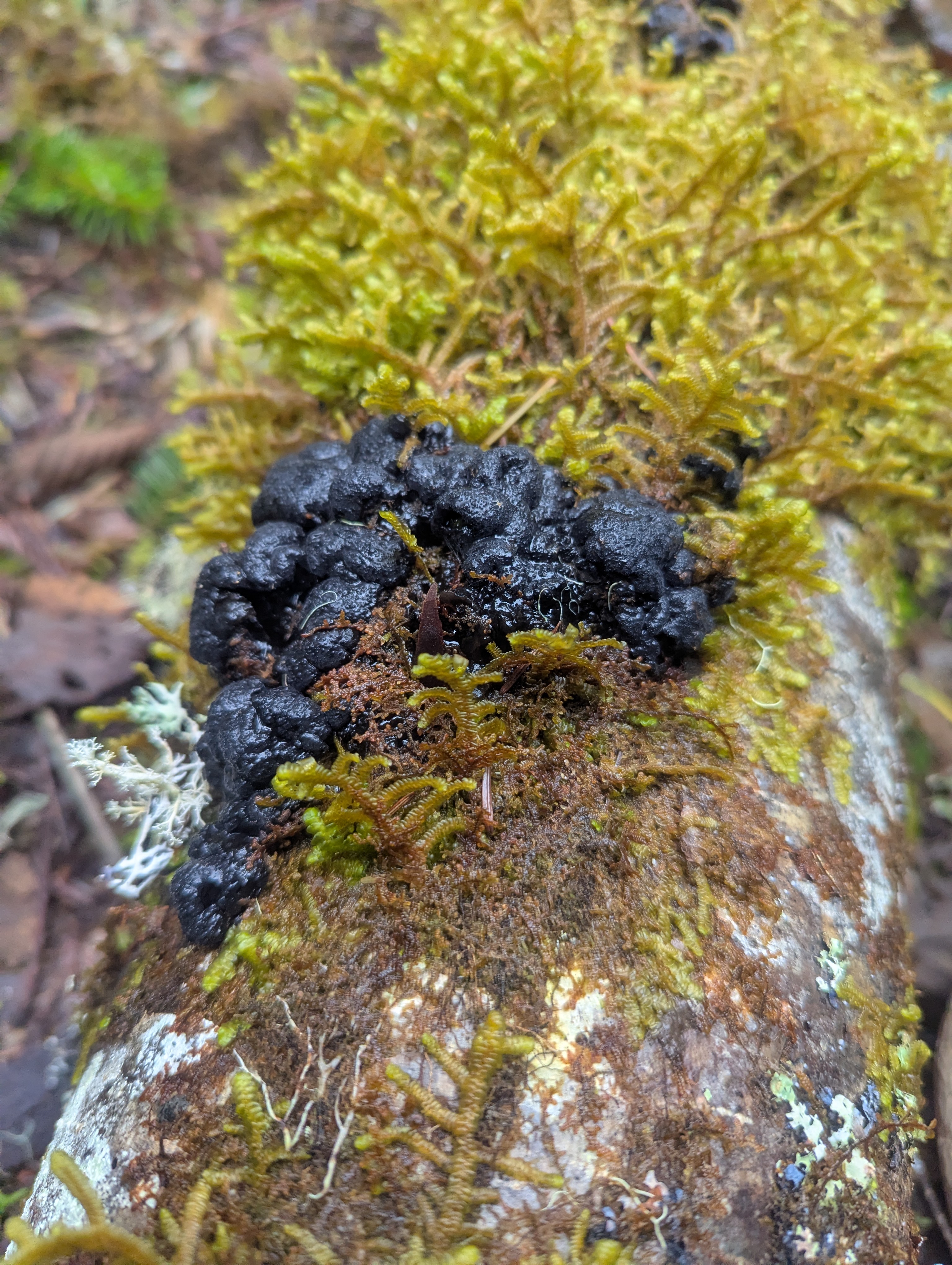
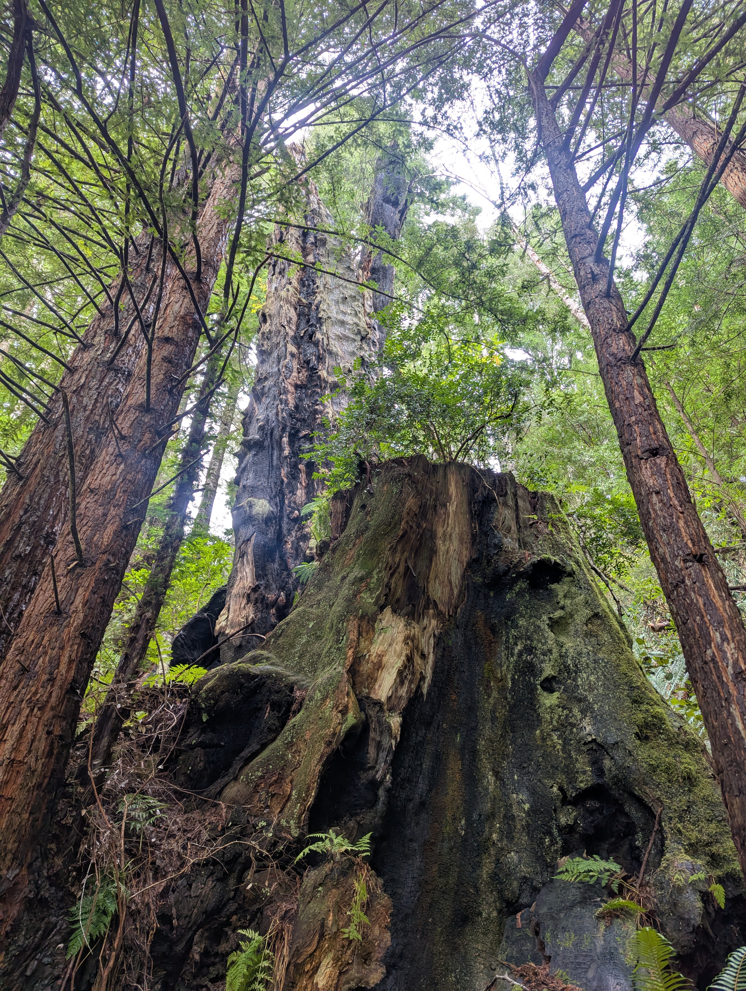
As I approach the creek, I am met by grand maple trees who, despite not having their leaves yet, are looking most impressive. They’re so giant that it’s hard to photograph their sprawling limbs. I use the photo sphere feature on my phone to capture their long, out-stretched arms. For deciduous trees, Winter is really the time for the moss and lichens to have their moment of glory.
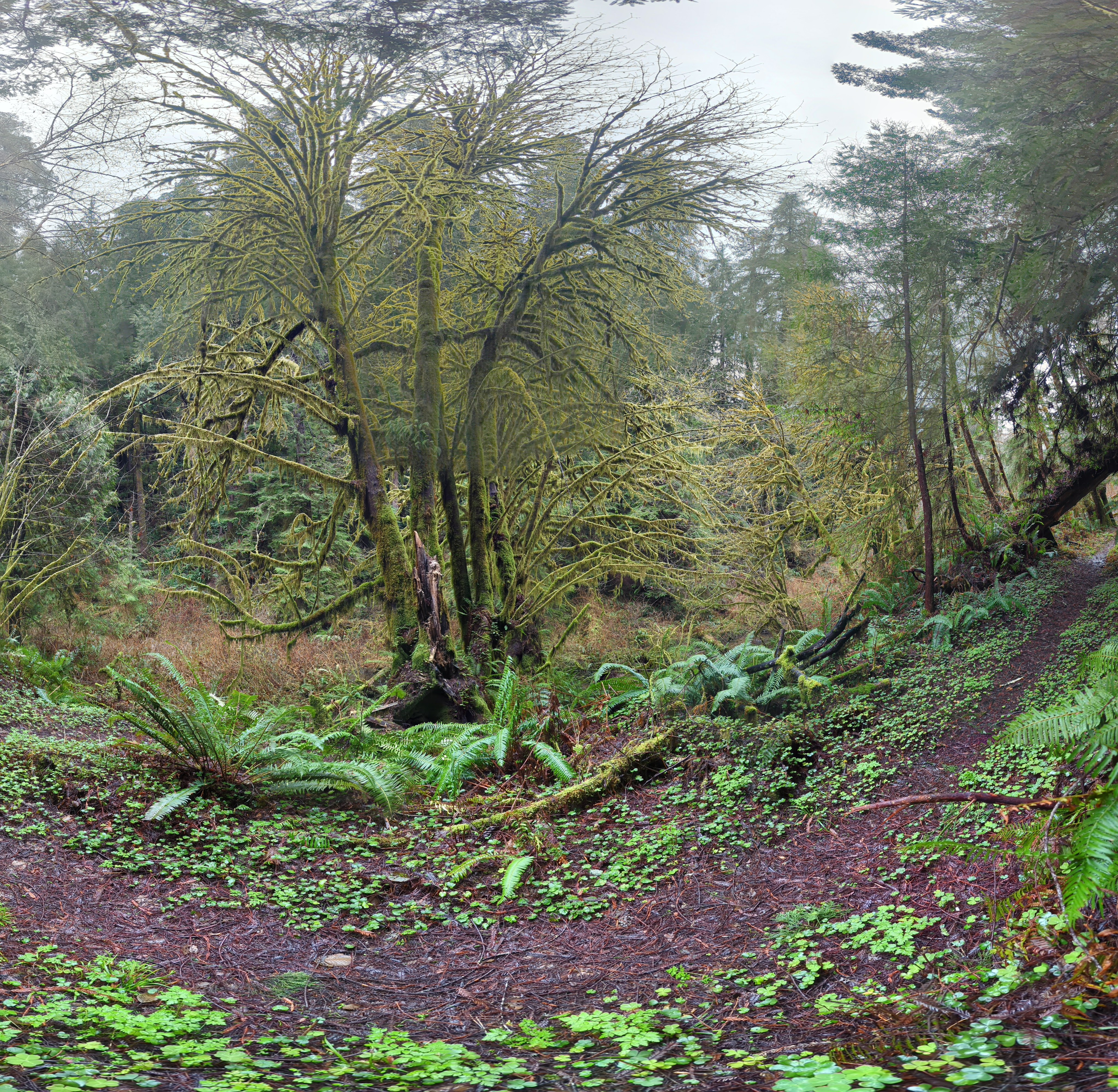
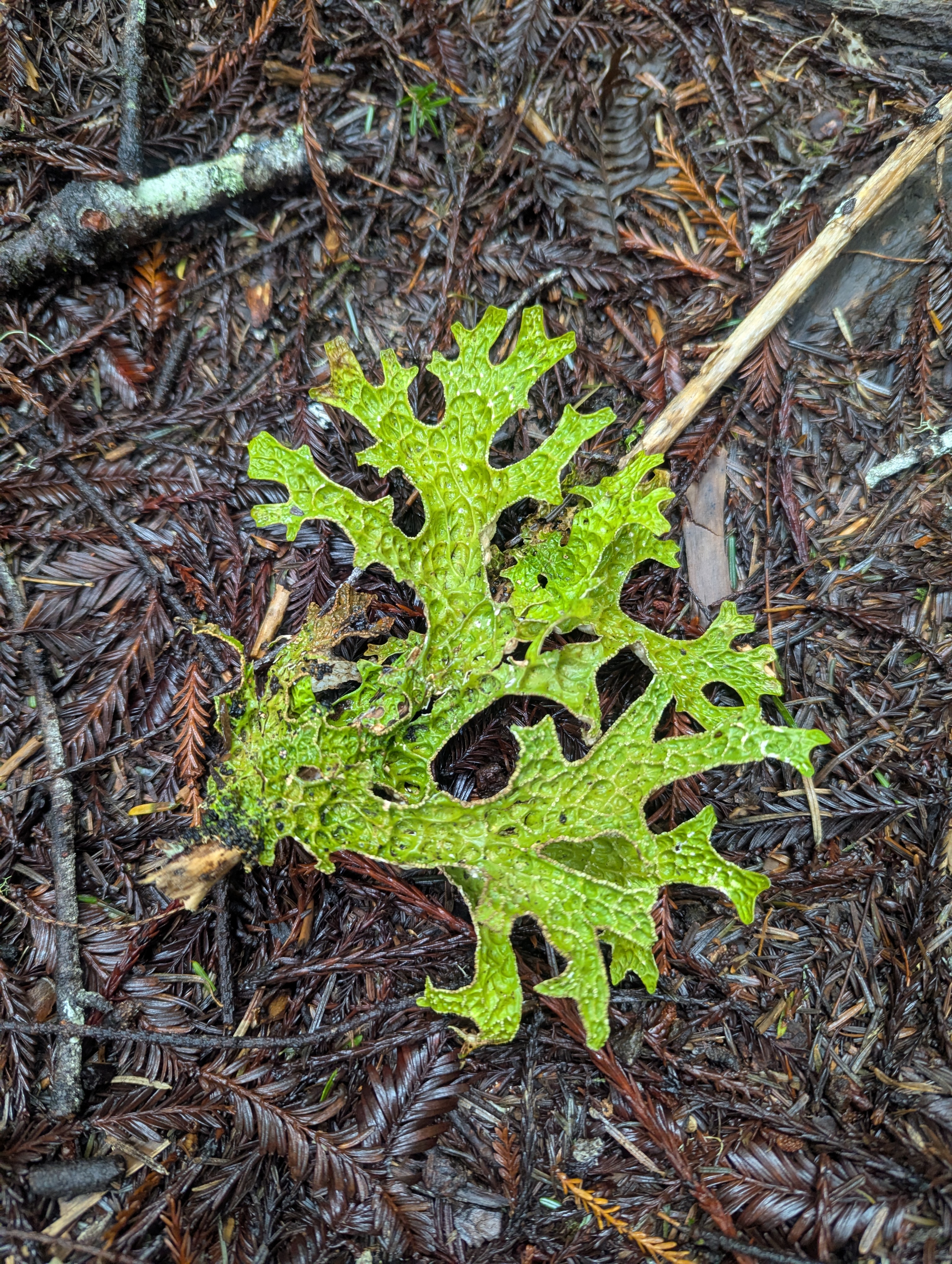
Fully prepared to ford McArthur Creek, I’m surprised to find a functioning bridge. This area is so beautiful that I’m really glad I didn’t turn back. The trail immediately climbs back up through redwood forest. As I lean over to take a picture of a lichen, my water and mocha bottles fall out of my backpack pocket. Perfect time to stop and take off my wind breaker layer since I’m already overheated from the climb.

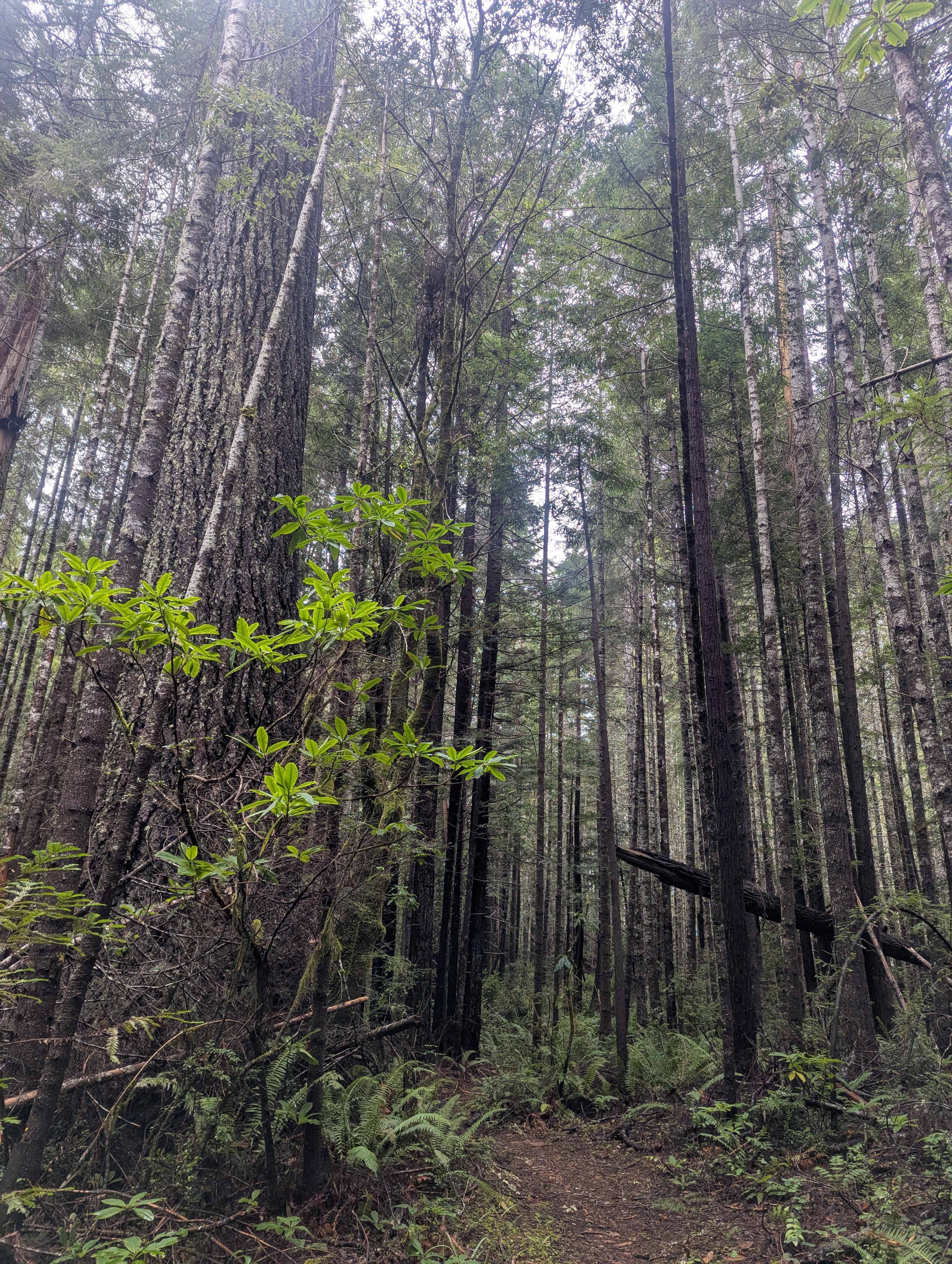
The climb tops out and then follows a contour. The trail is wide and seems to be an old road. It’s 11:15 am when I come to a fork and need to make a decision. I researched the fork to the left, Elam Creek Trail, which drops down to Elam Camp and Redwood Creek. I’m feeling pretty good and could add about 4 miles and 800 ft of descent and ascent. There’s a cone to the side with an old sign saying the trail is closed but I’m pretty sure it’s open now. I opt to stick with the McArthur Loop and fork uphill to the right. The 3 HR and 6 HR Loop sign is rotted off and lying on the ground.


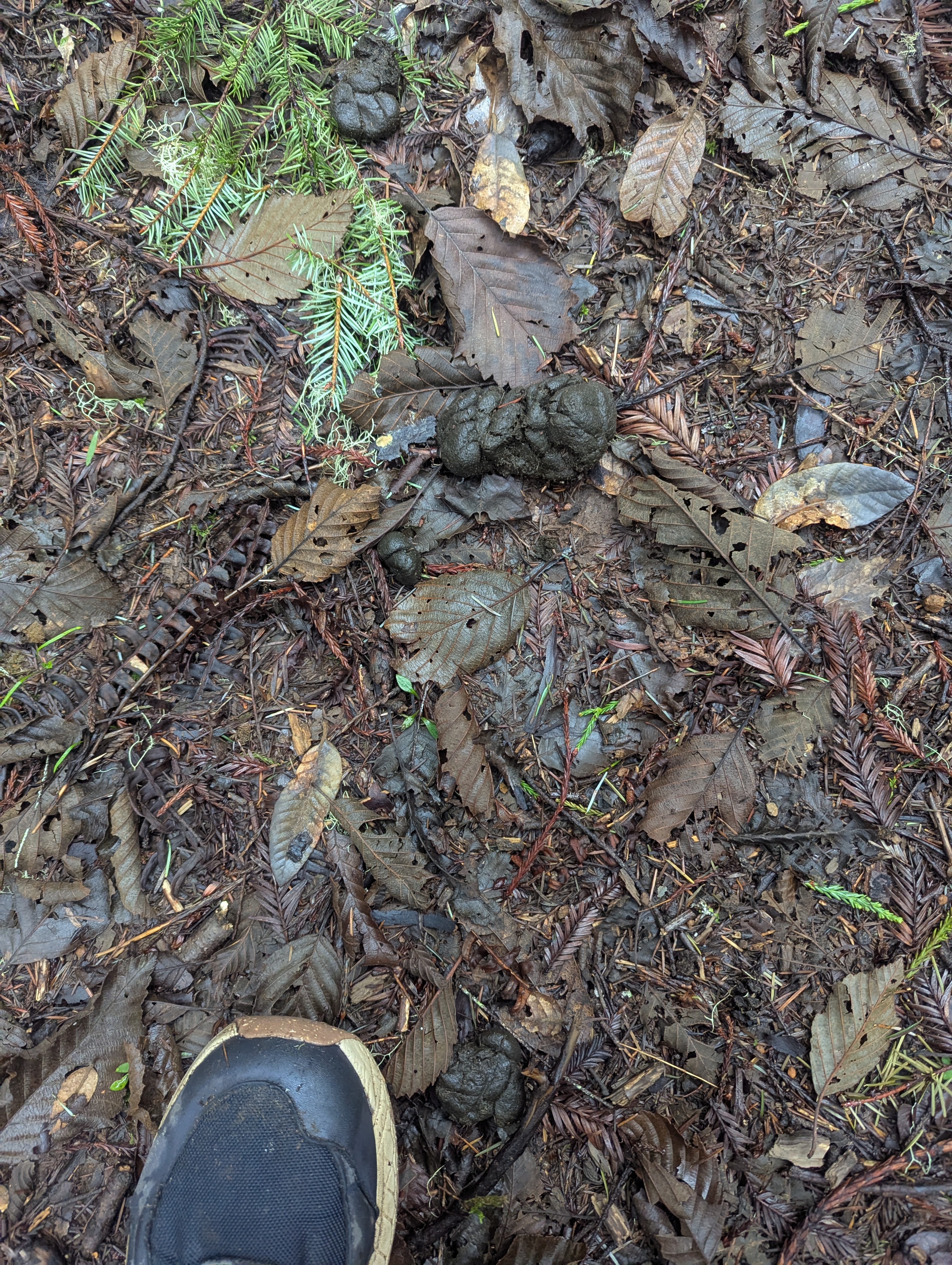

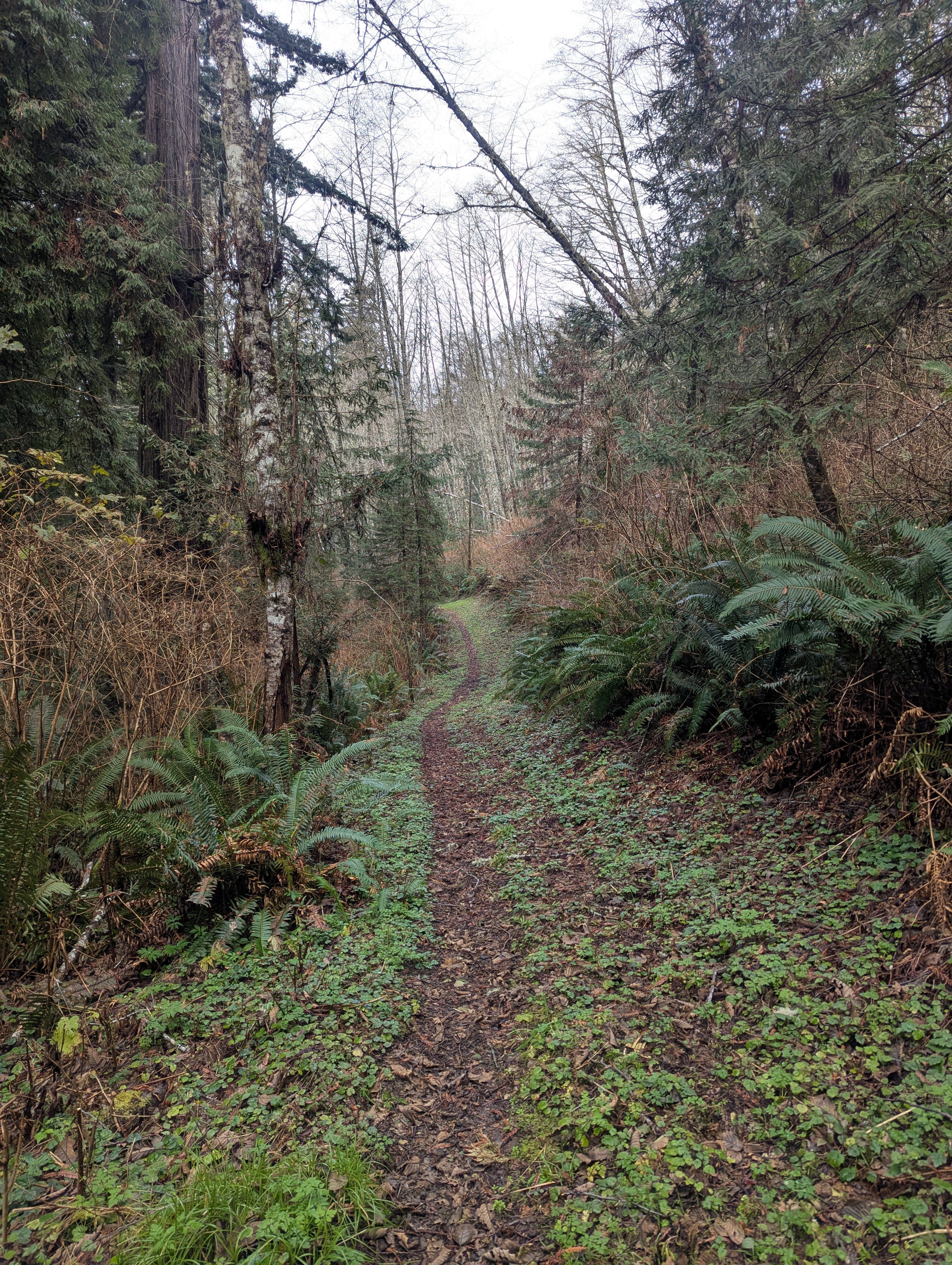
I meander uphill as I start to follow the trail of fairly fresh elk poop. I imagine they will be around the next corner and how spectacular and dangerous that could be. The trail flattens across the ridge top and I continue to climb over and around all the trees blocking my path.

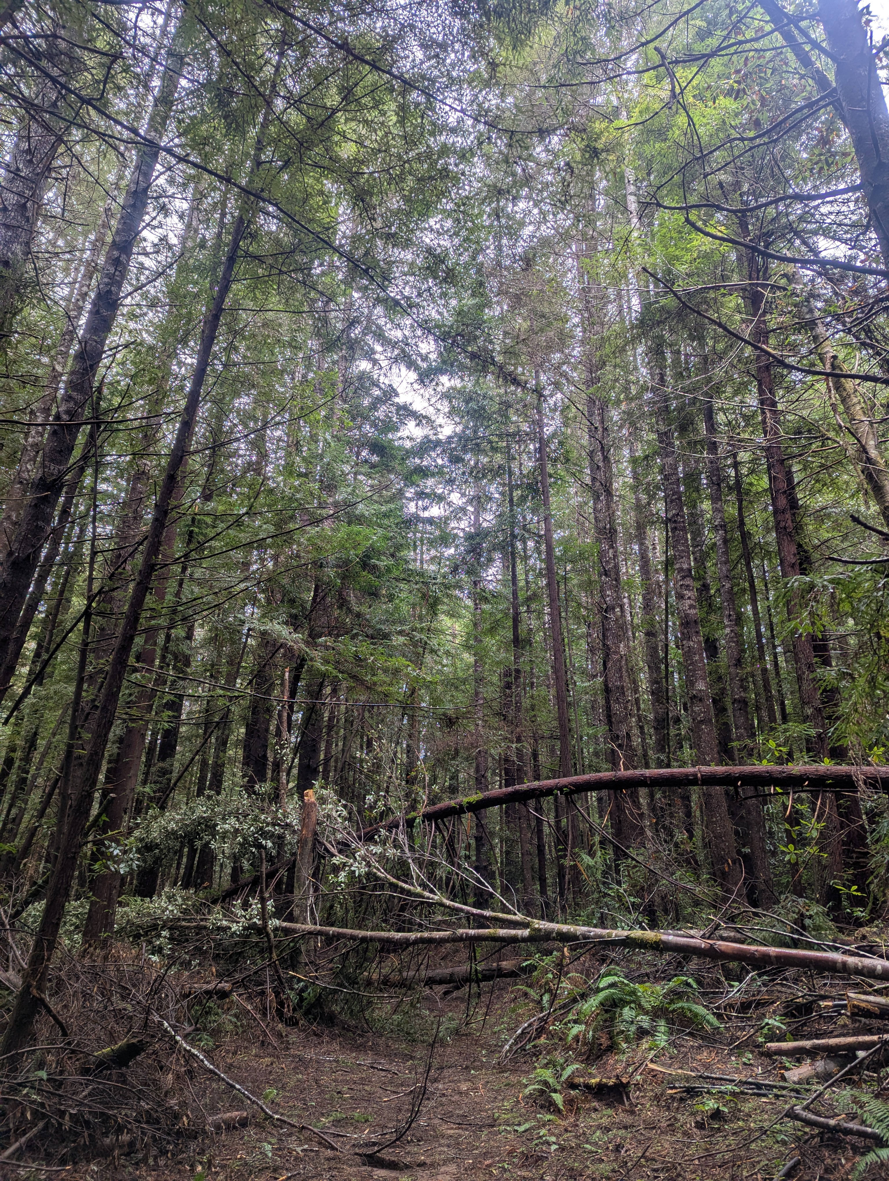

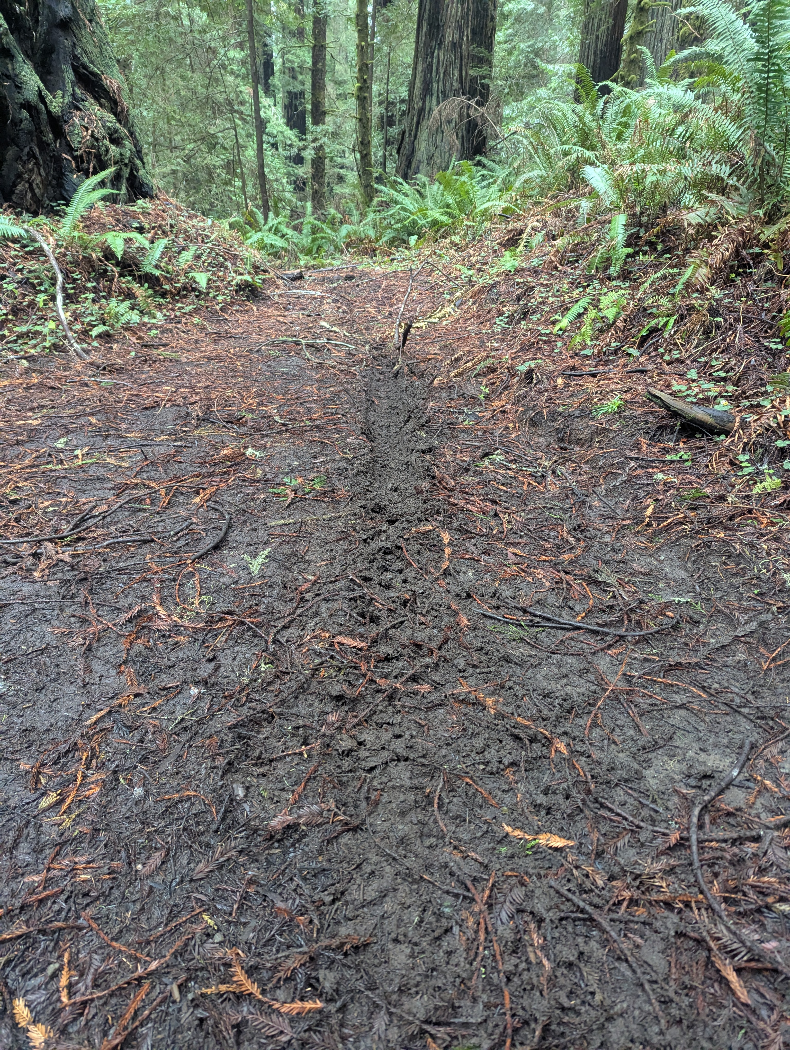
The trail dumps out onto a road which I follow uphill a short distance. About 12:20 pm, I take a right turn at another rotting 3 HR and 6 HR Loop sign. I descend down the wet road that’s littered with blow downs, rock slides and running water.

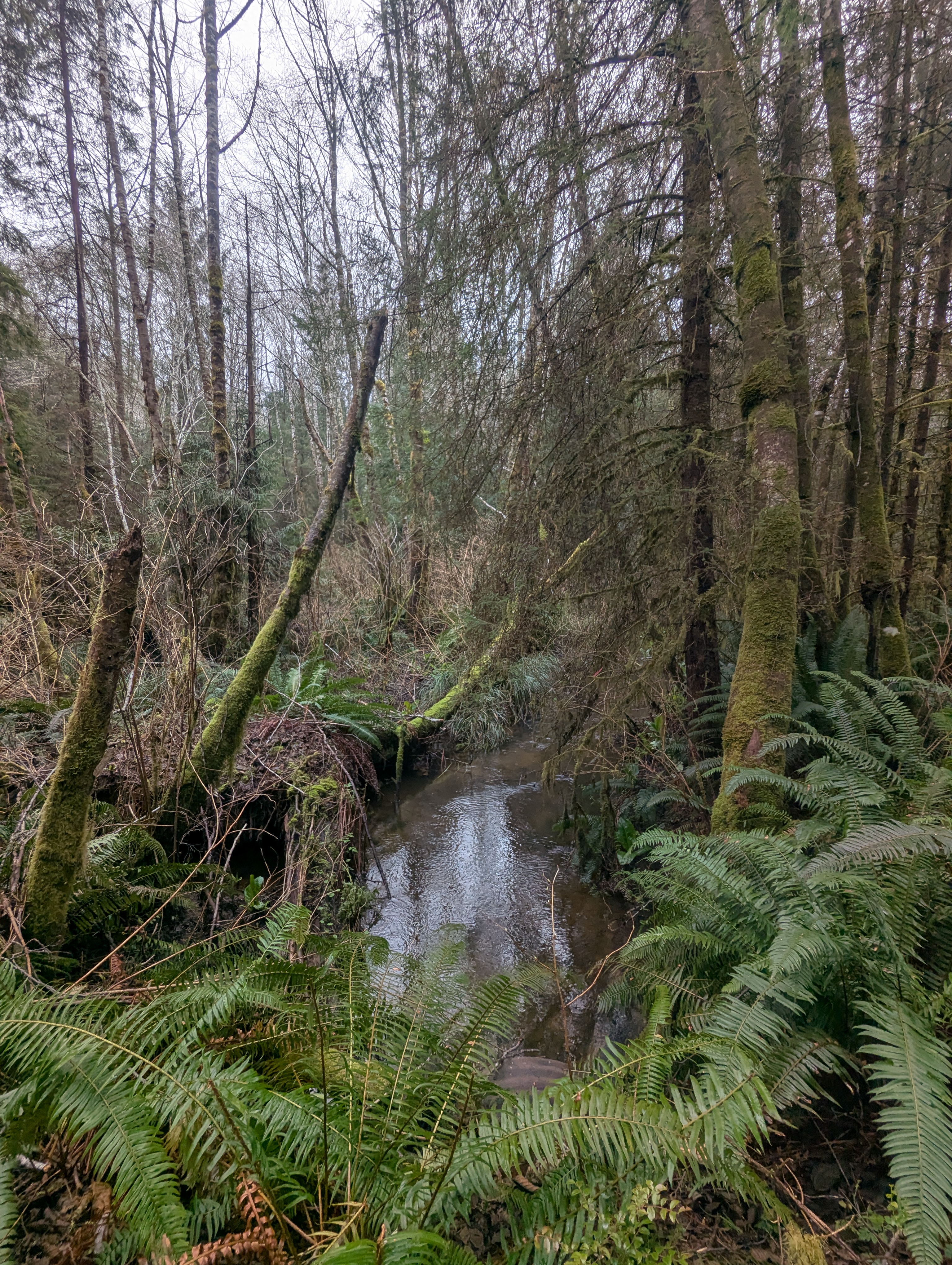
This far upstream, McArthur Creek is much smaller than what I crossed over two hours ago.


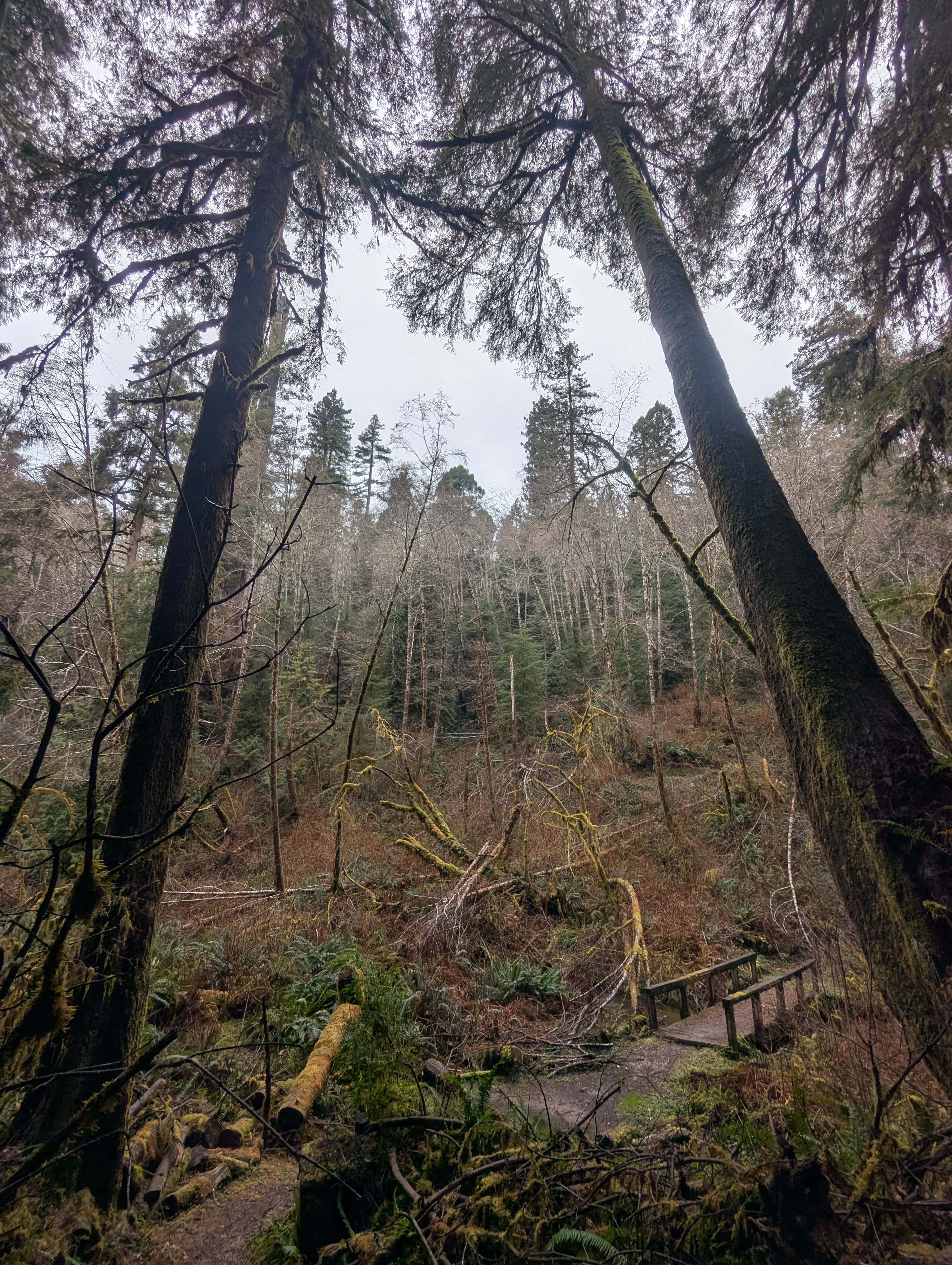
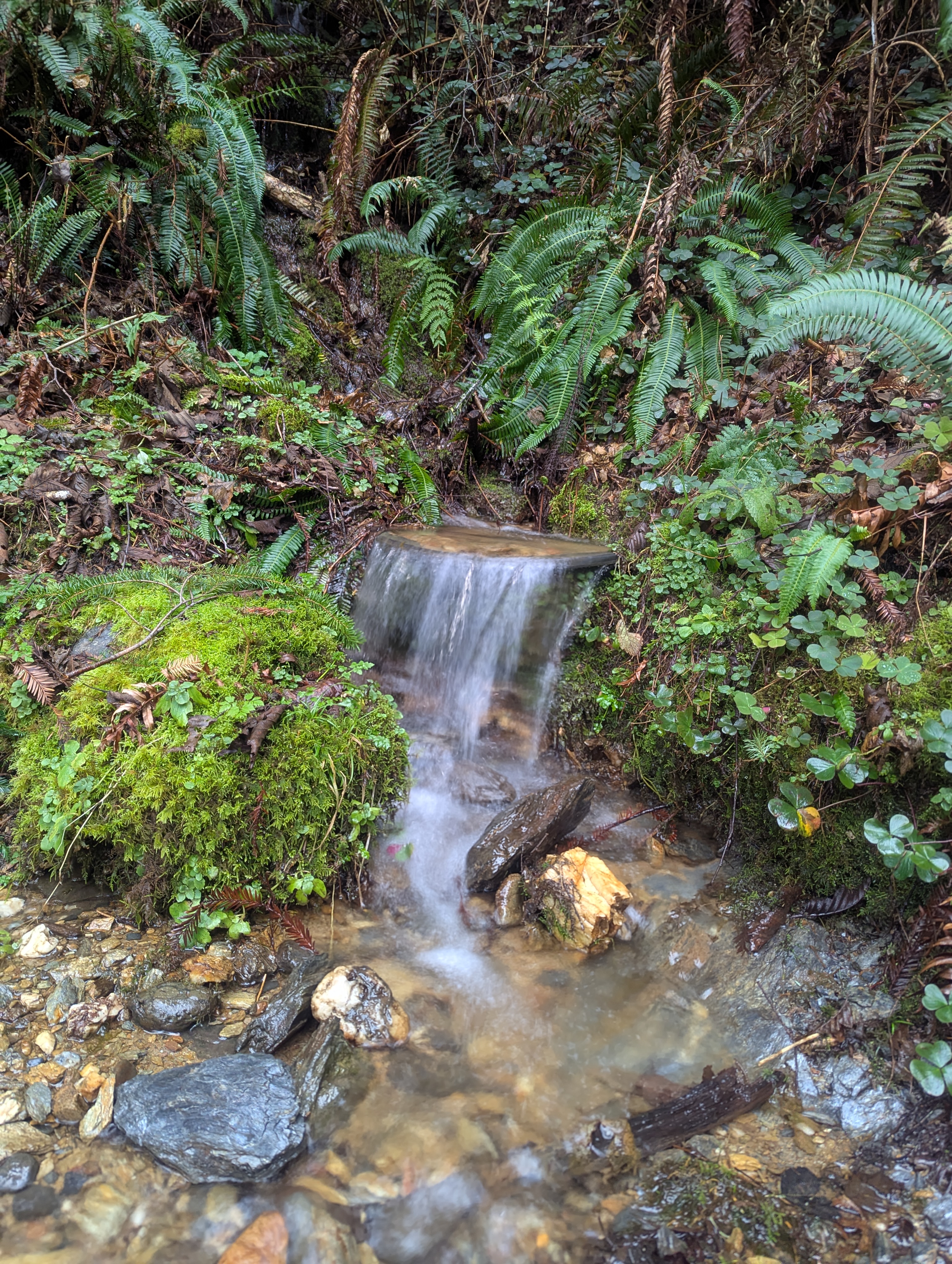
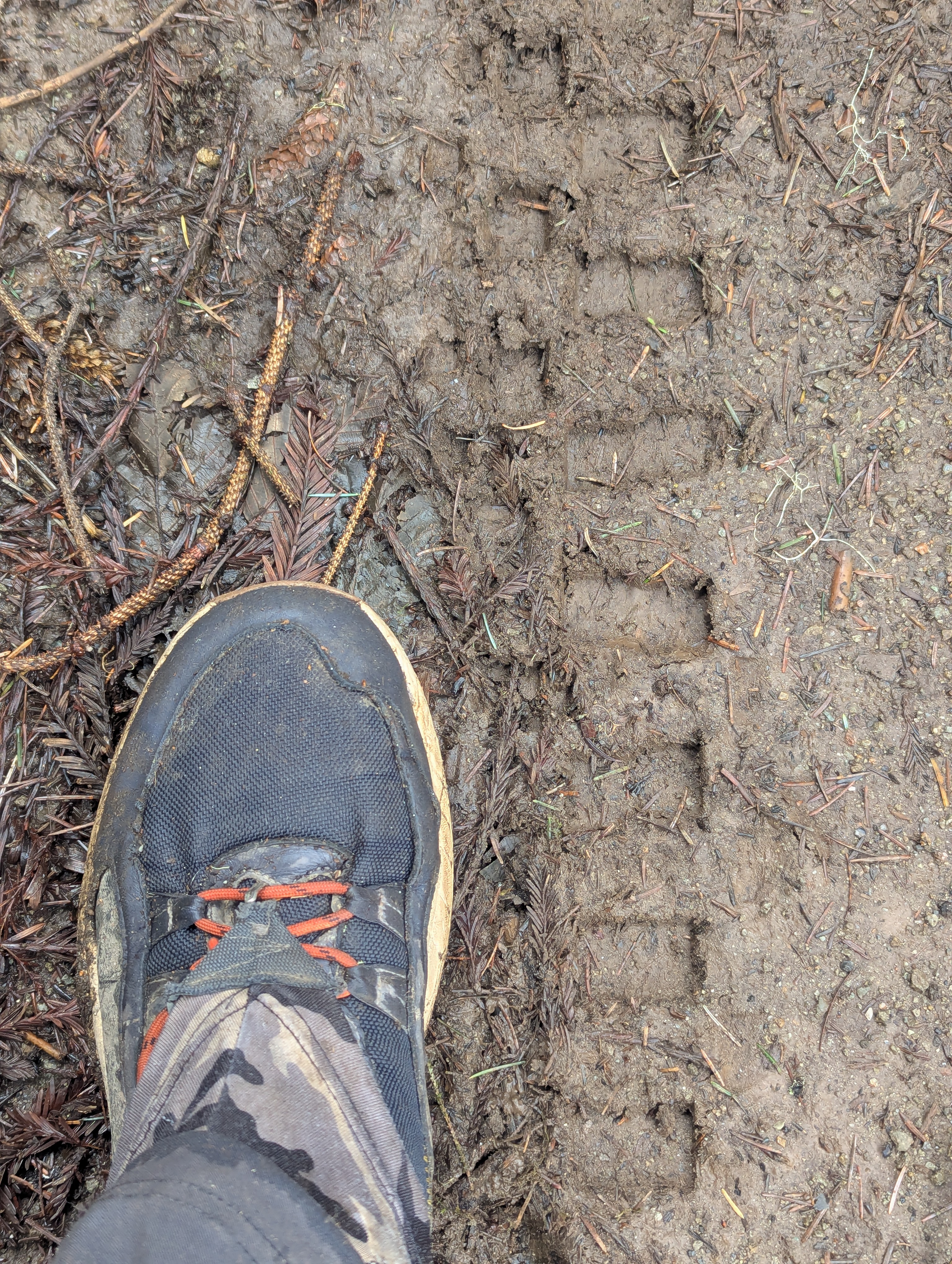
The muddy road sucks at my boots as I roll into a junction with another road, pit toilet and picnic table. The pit toilet is a definite no. I take a 15 minute sitting break at the table that appears to have been chewed on by a bear. The trail continues as a muddy road with trees down across it. Some of the trees have claw marks on them where it’s likely that bears have climbed across. I can hear McArthur Creek off to my right before I start to climb out of the canyon.
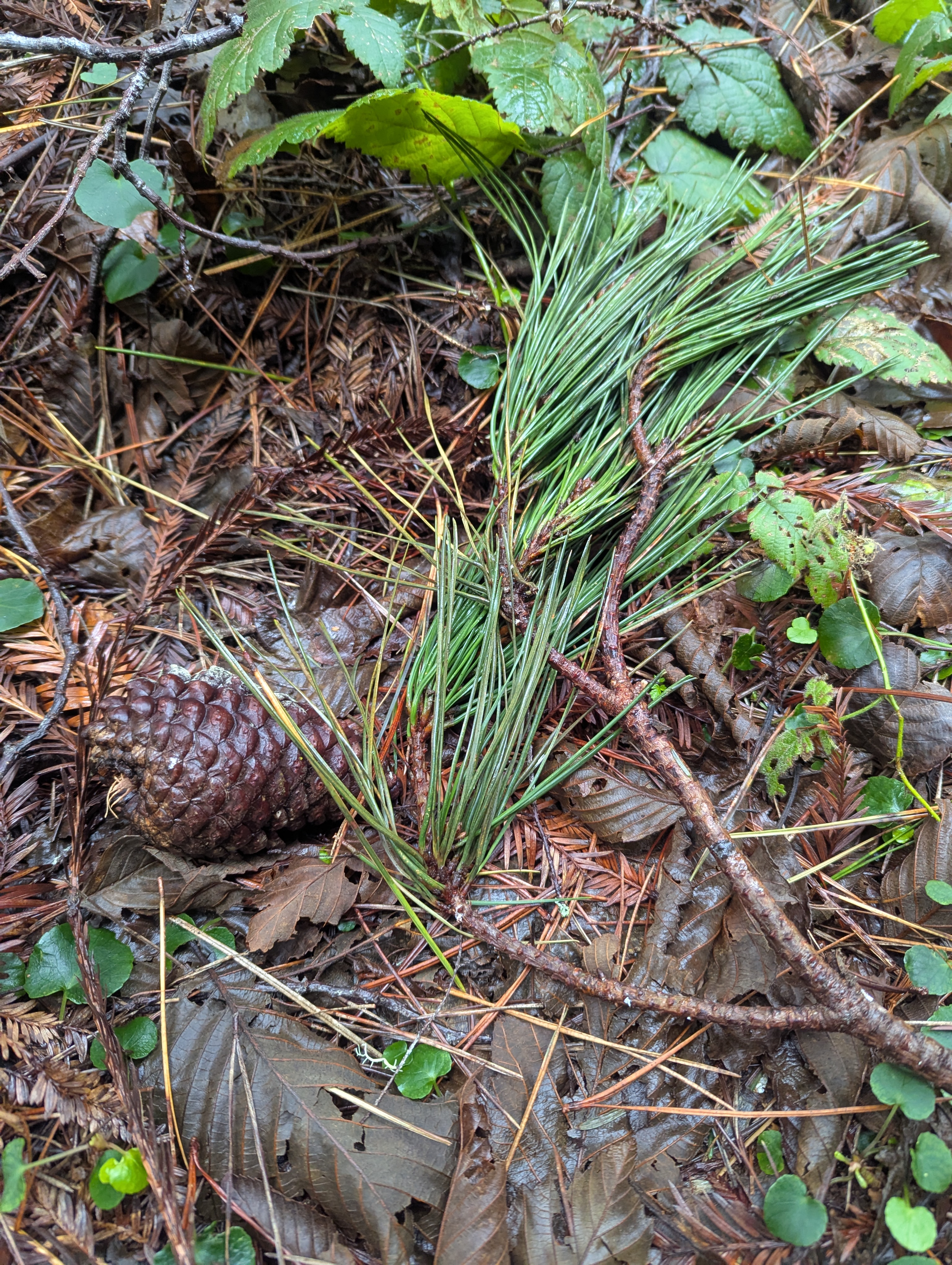

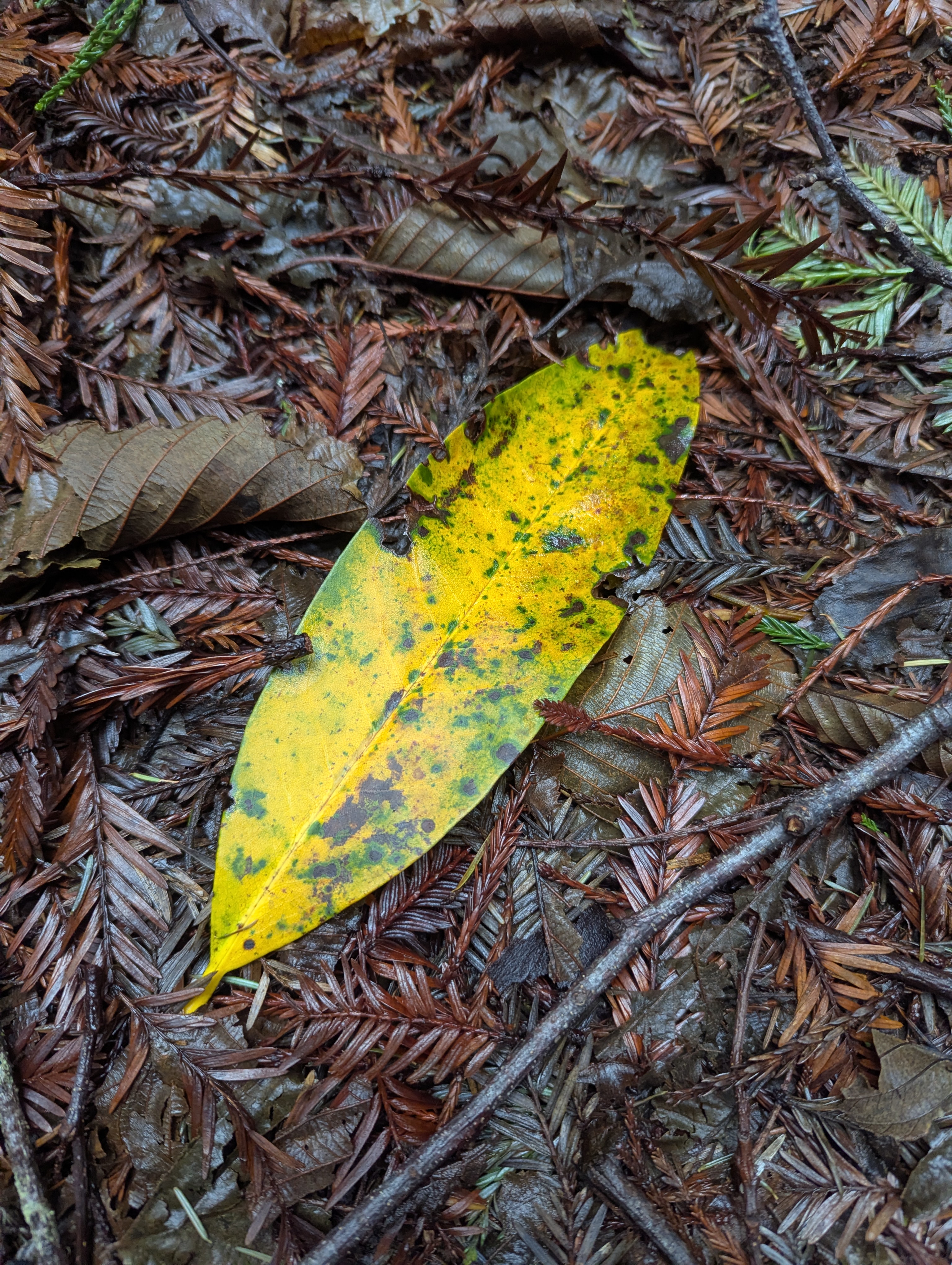
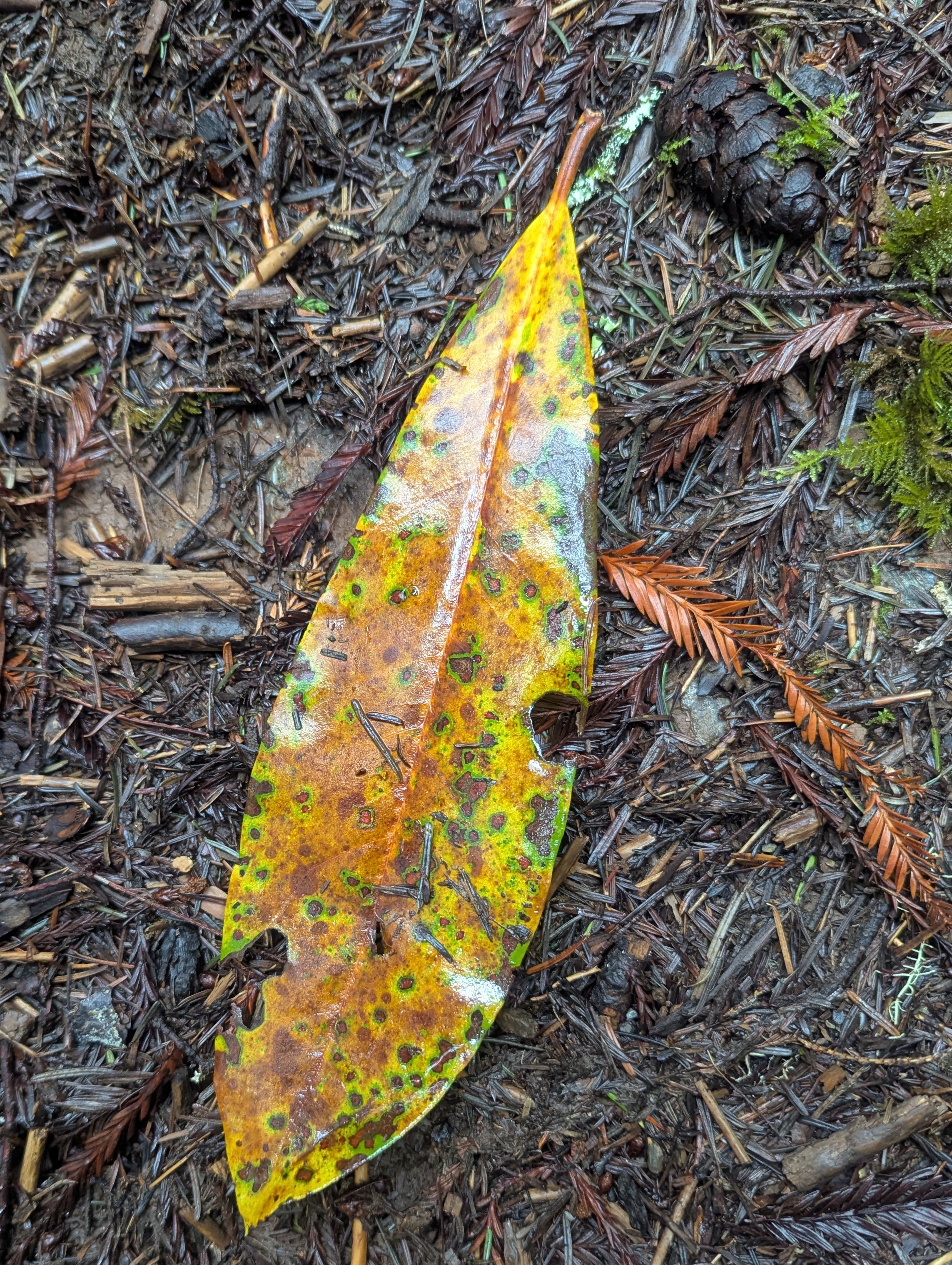
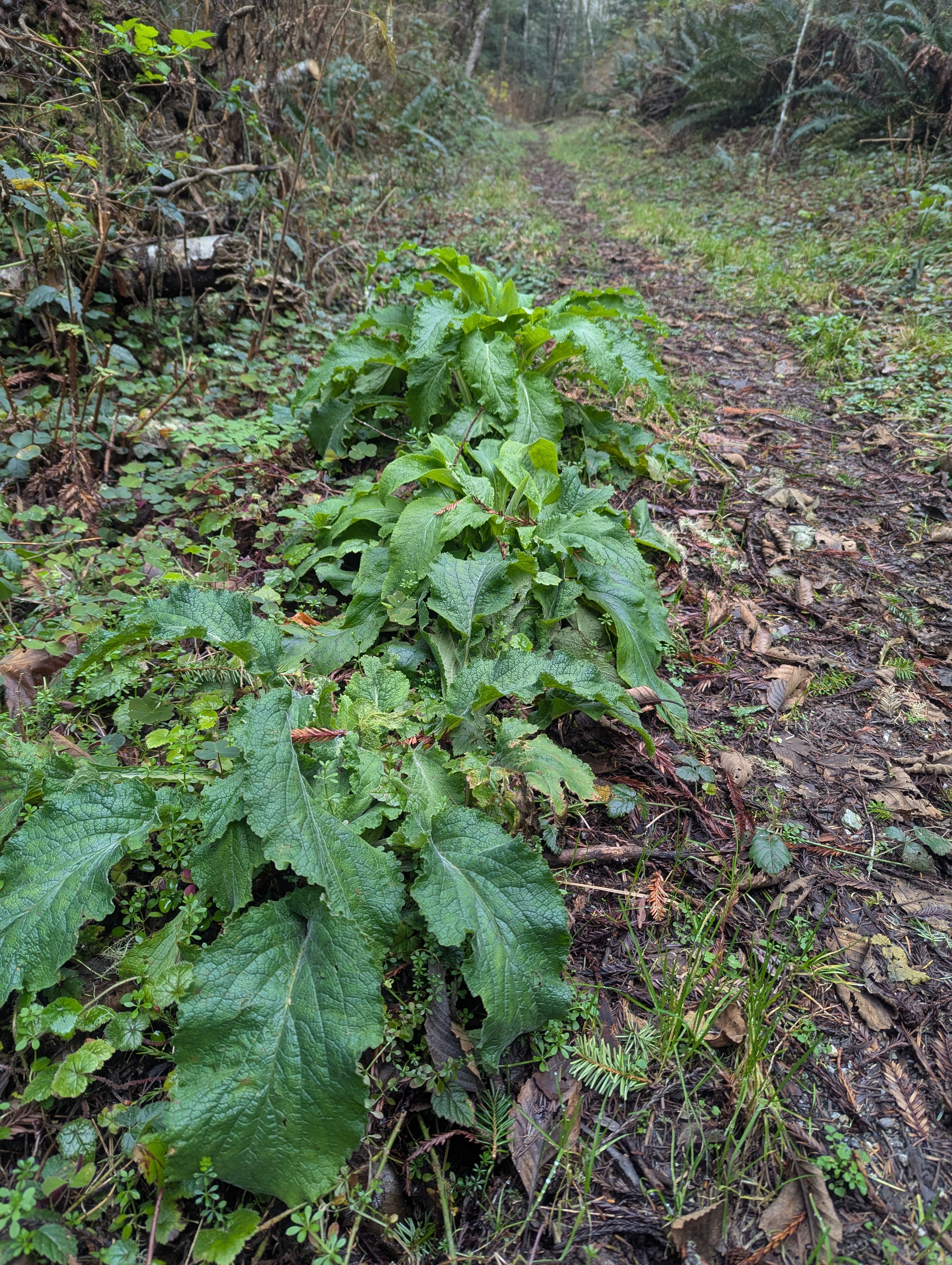
I’m a bit mystified when I start to see pine cones scattered at my feet. I crane my neck upwards but can’t see where the cones have come from. Needle bundles of 3. Ponderosa? Many of the cones are covered with multiple types of lichens.
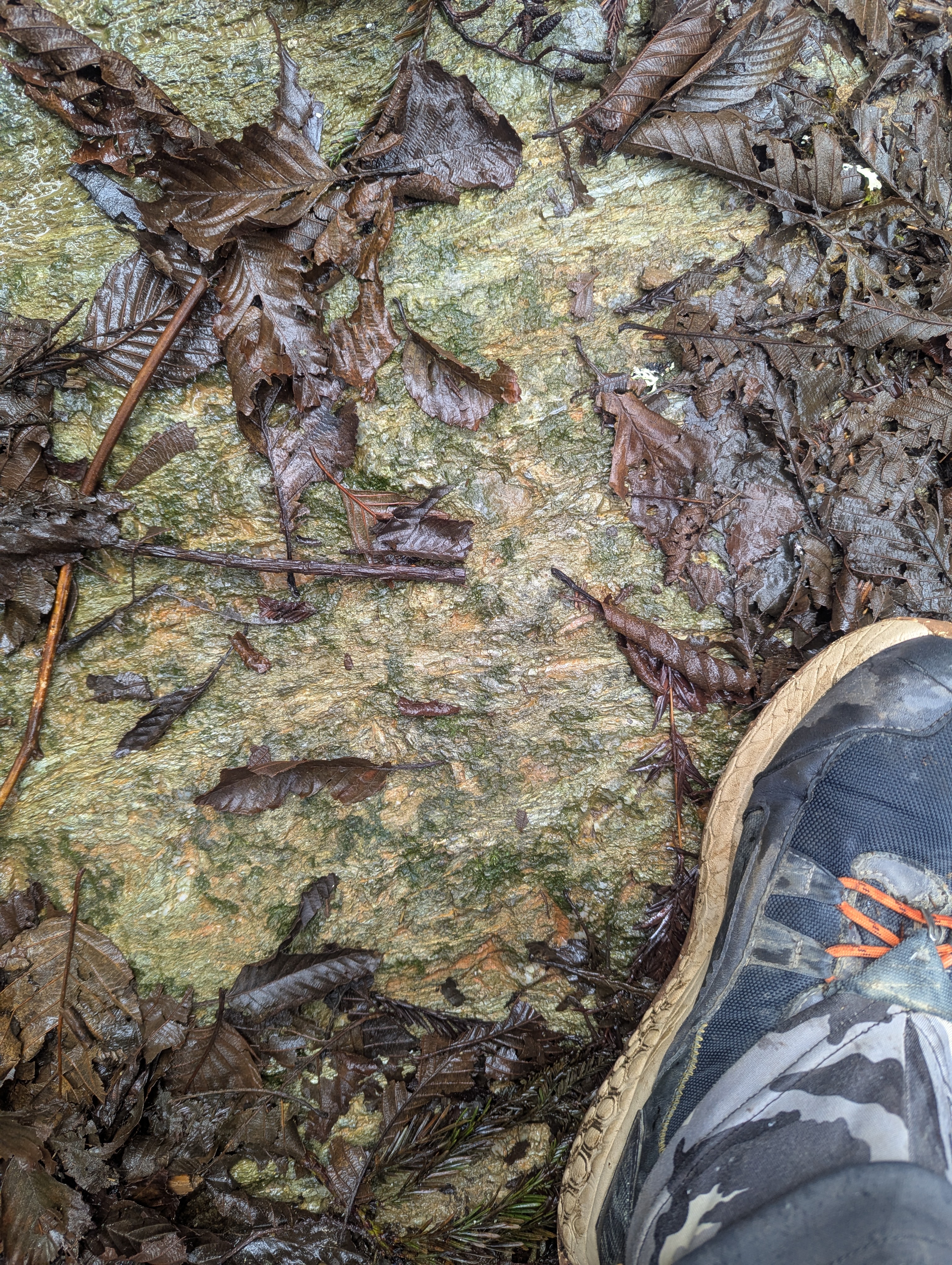
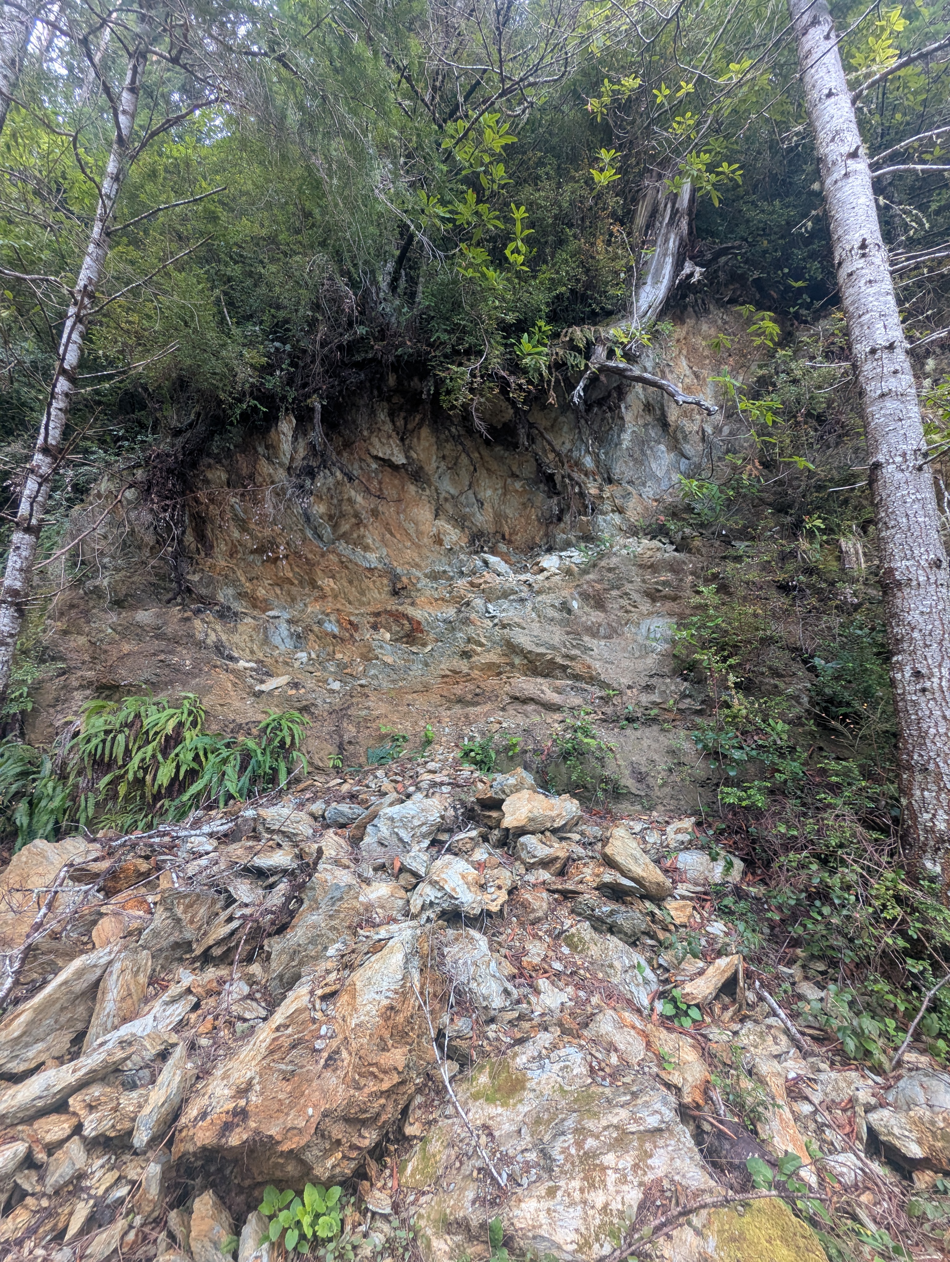
I round a corner to find a sandstone rock slide. I pick up a couple pieces which not only turn my hands orange from the iron oxide but instantly crumble.


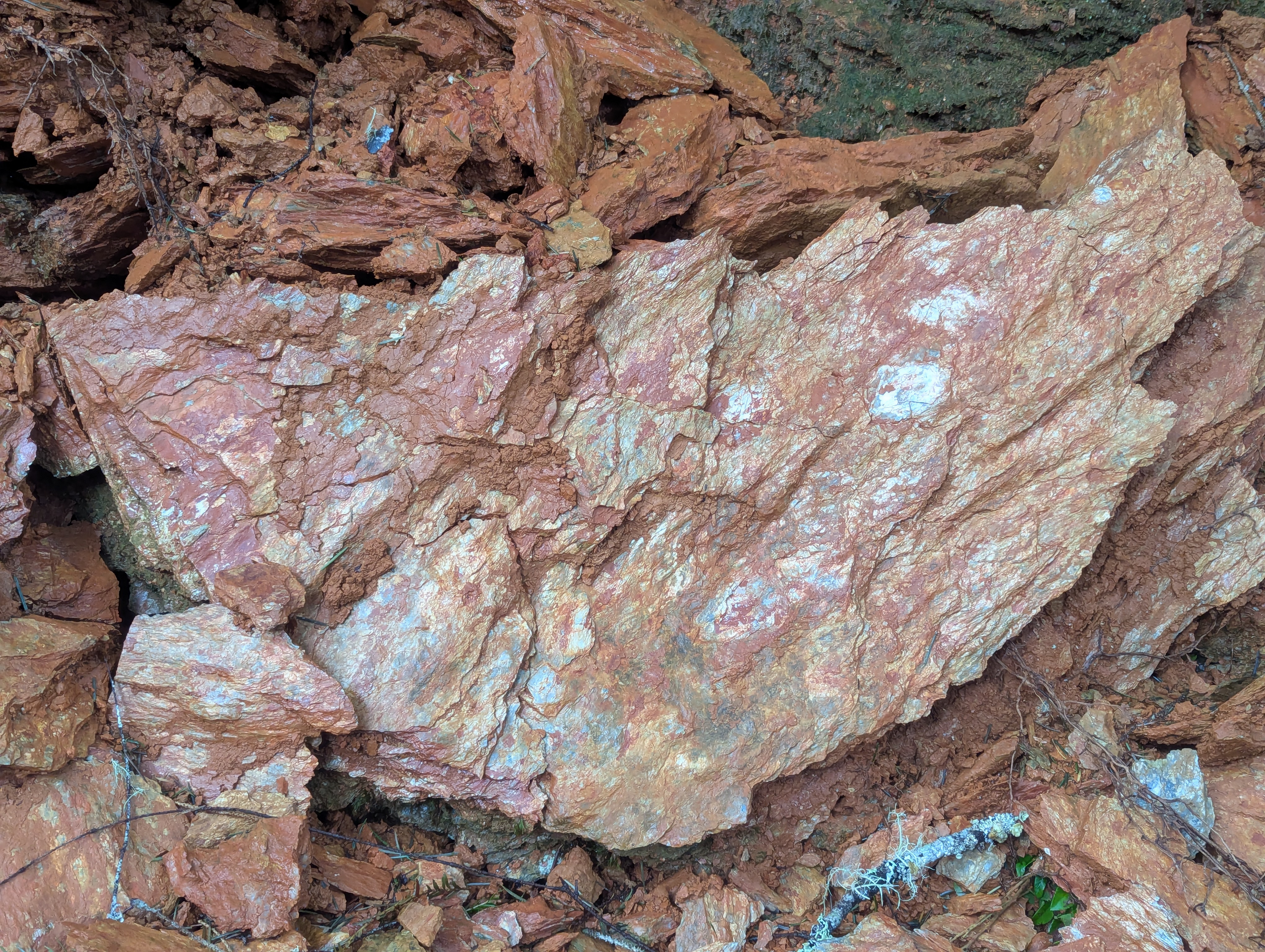
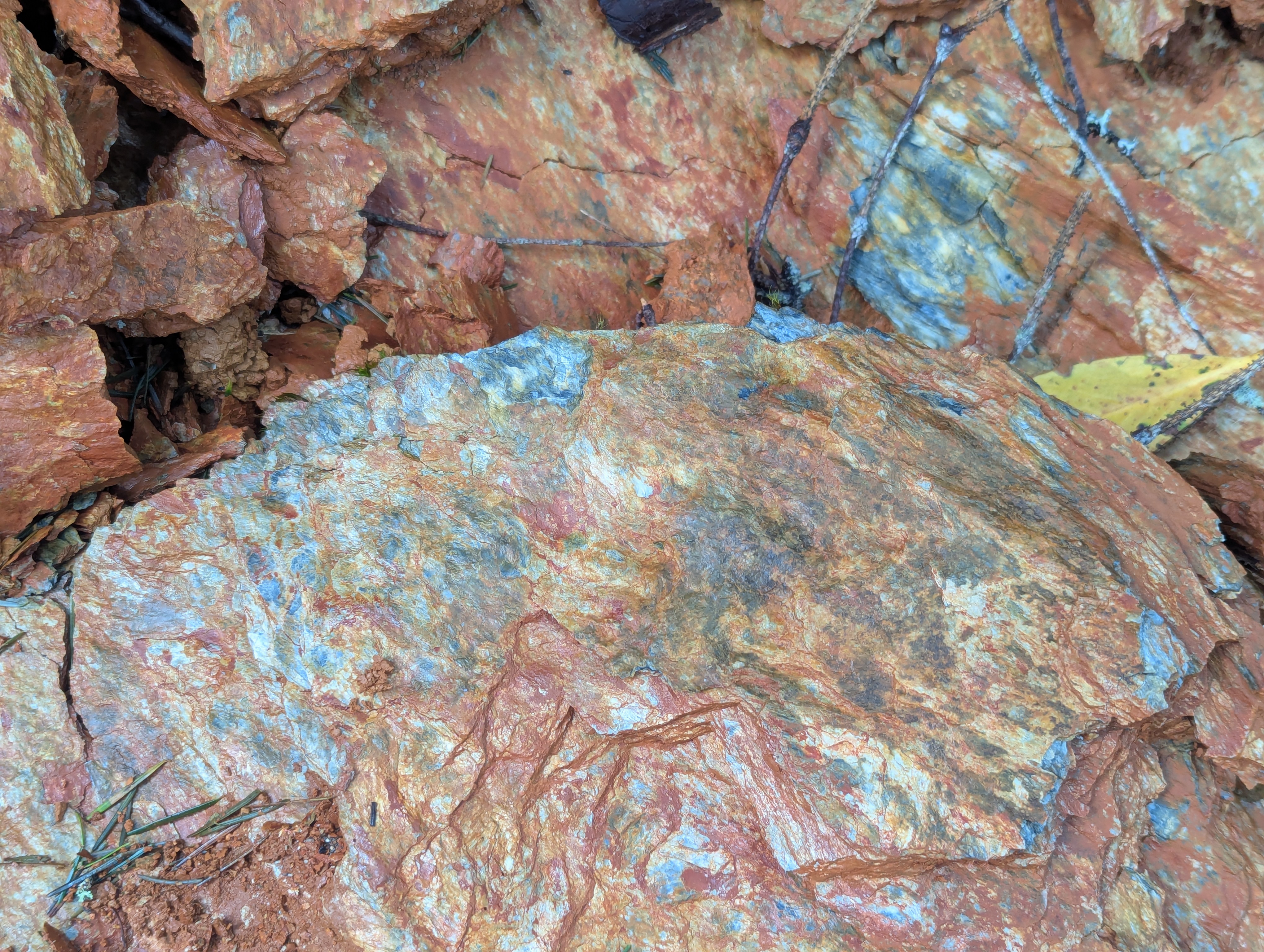
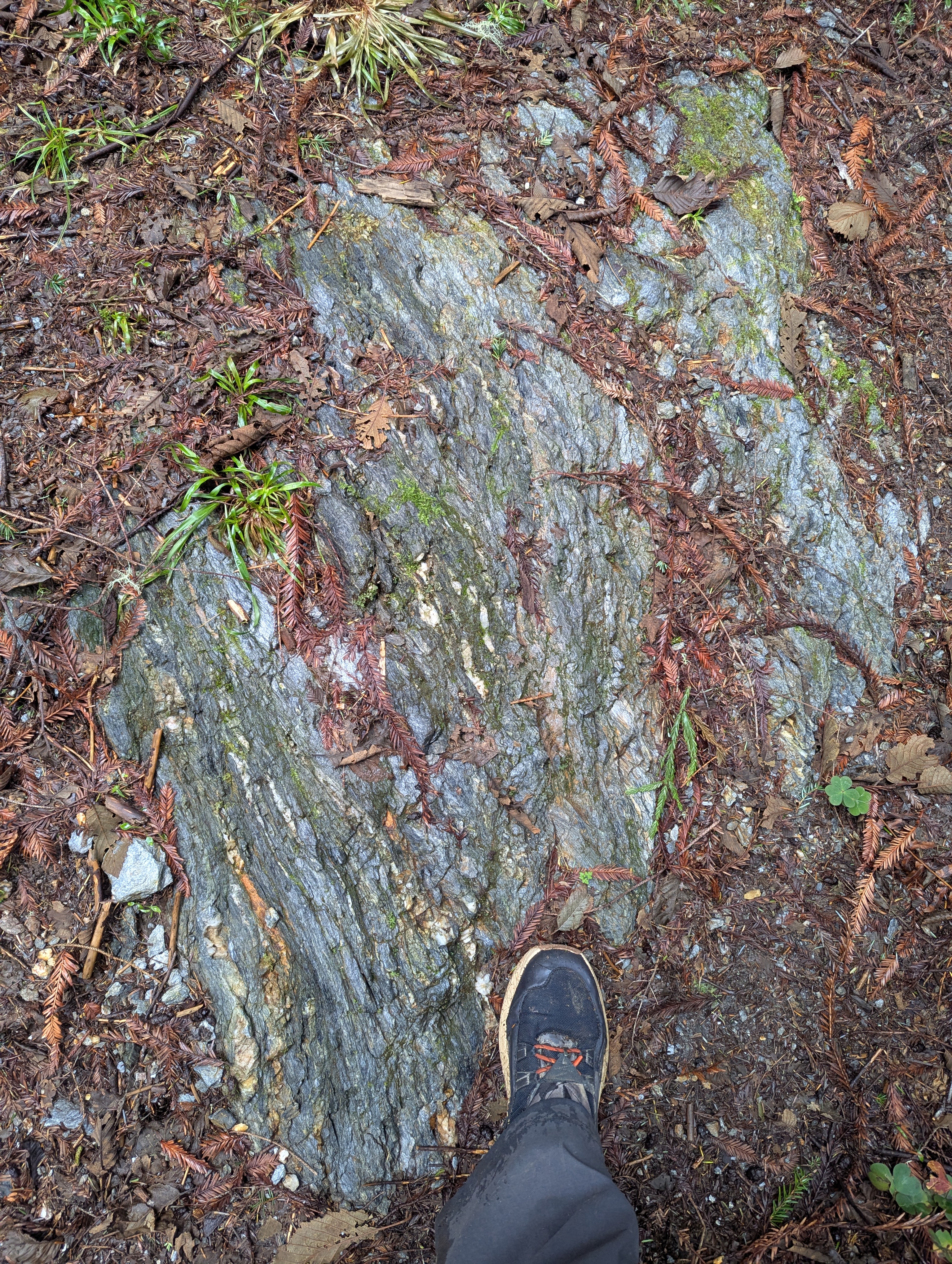

Lots of fascinating geology today hiking through Redwood Creek schist and marine terrace deposits. It’s fun getting to see these outcrops of the Franciscan Complex. Check out this geologic map for Redwood National and State Parks.
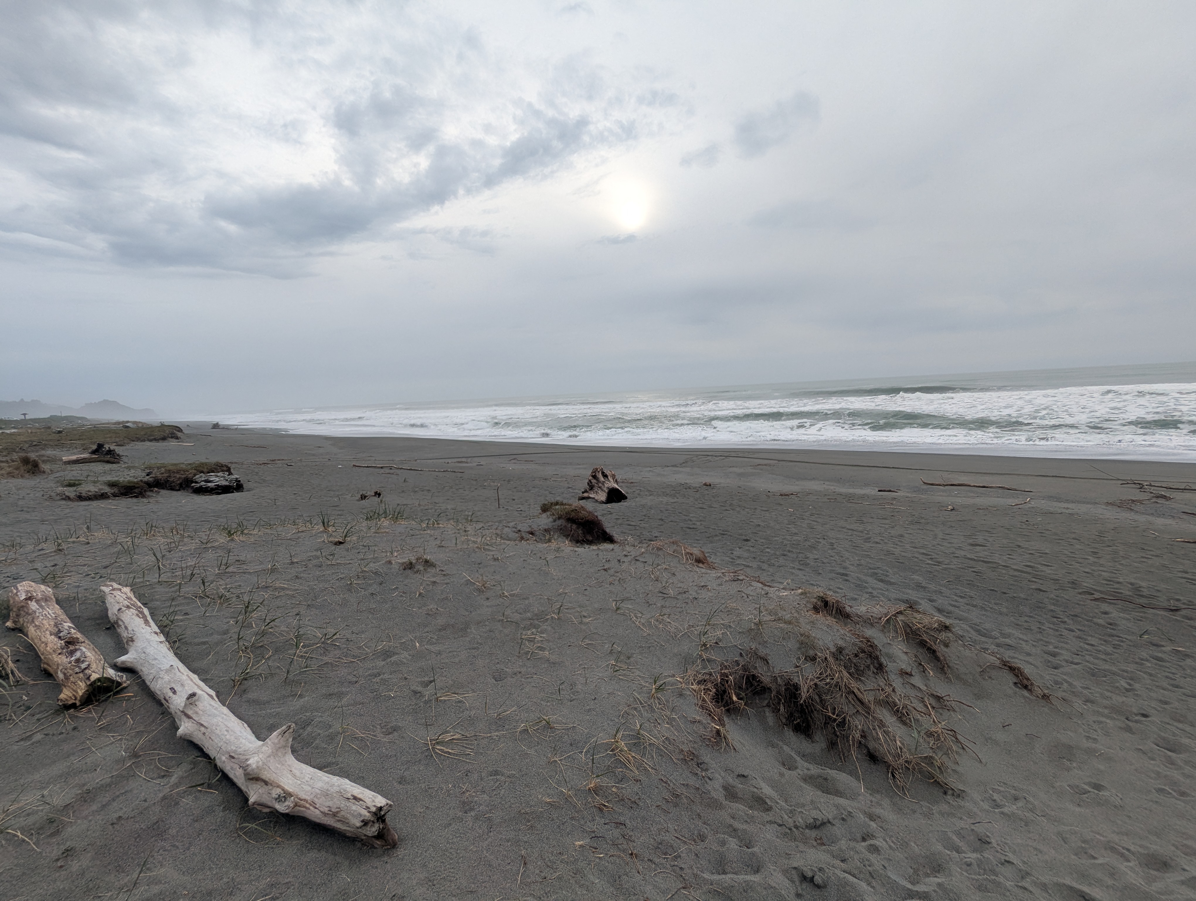
Just before topping out on the ridge there’s a view of the ocean. The gray day makes it hard to see but I can just make out the faint crests of the waves.

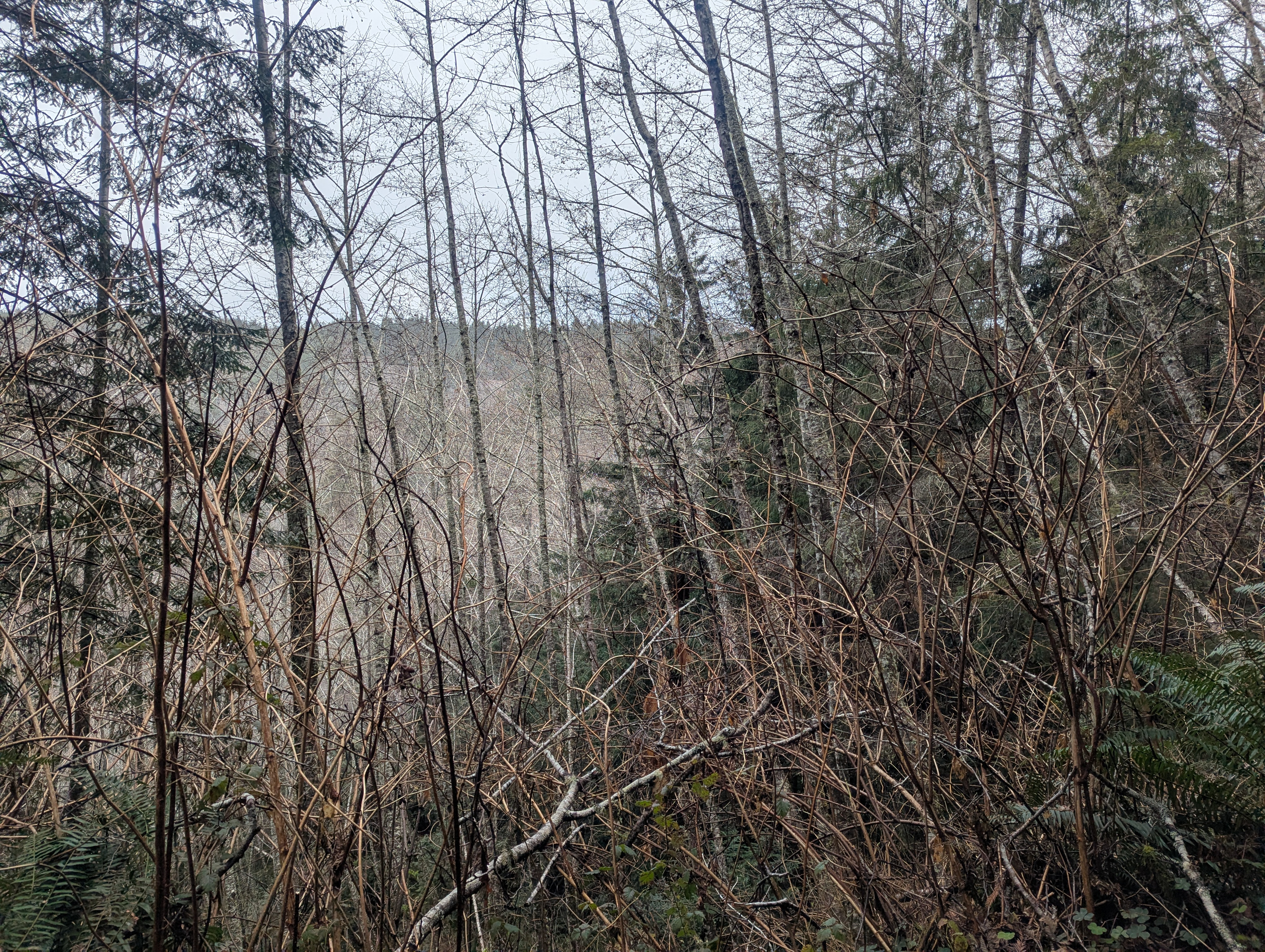
Along the ridge, the majority of my steps sink into the soft surface of the flat trail. I weave back and forth in an attempt to find the firmest path. I’m surprised to find a random patch of what looks like foxglove. It’s 2:30 pm when I reach another trail junction. I’m growing weary and frustrated with this trail that feels like it will never end.


I can hear the hum of the highway and unfortunately the loud growl of a dirt bike echos through the valley. Just after 3 pm I finally merge back with the trail from which I departed six hours ago. As I start to descend, it’s evident that the dirt bike I was hearing had been on this trail. The trail is torn up and dirt is sprayed everywhere. For some reason, I start to worry about the safety of my truck and push the speed as best I can. I’m not sure if it’s the sun peeking through, but hiking the opposite direction makes this feel like a whole new trail.


I circle back around on the levee and the elk have moved down closer to where I parked. At the parking area, I cross Drydens Road and view the elk through an opening in the bramble. It turned into a long hiking day and I’m so glad that I didn’t add the extra miles. I might not have gotten back to my truck before it was dark. I decide to drive over to the Redwood National Park visitor center so I can tell them about the dirt bike destruction. I pull up just a few minutes after 4 pm and unfortunately the winter hours are 10 am – 4 pm. I use the restroom and walk the short distance to view the ocean. Only two crazies try to drive me off the road on the way home.