Tuesday, April 29
King Crest Lost Coast Loop Day 1
King Range National Conservation Area
Unceded land of the Sinkyone, Cahto and Yuki Coast peoples
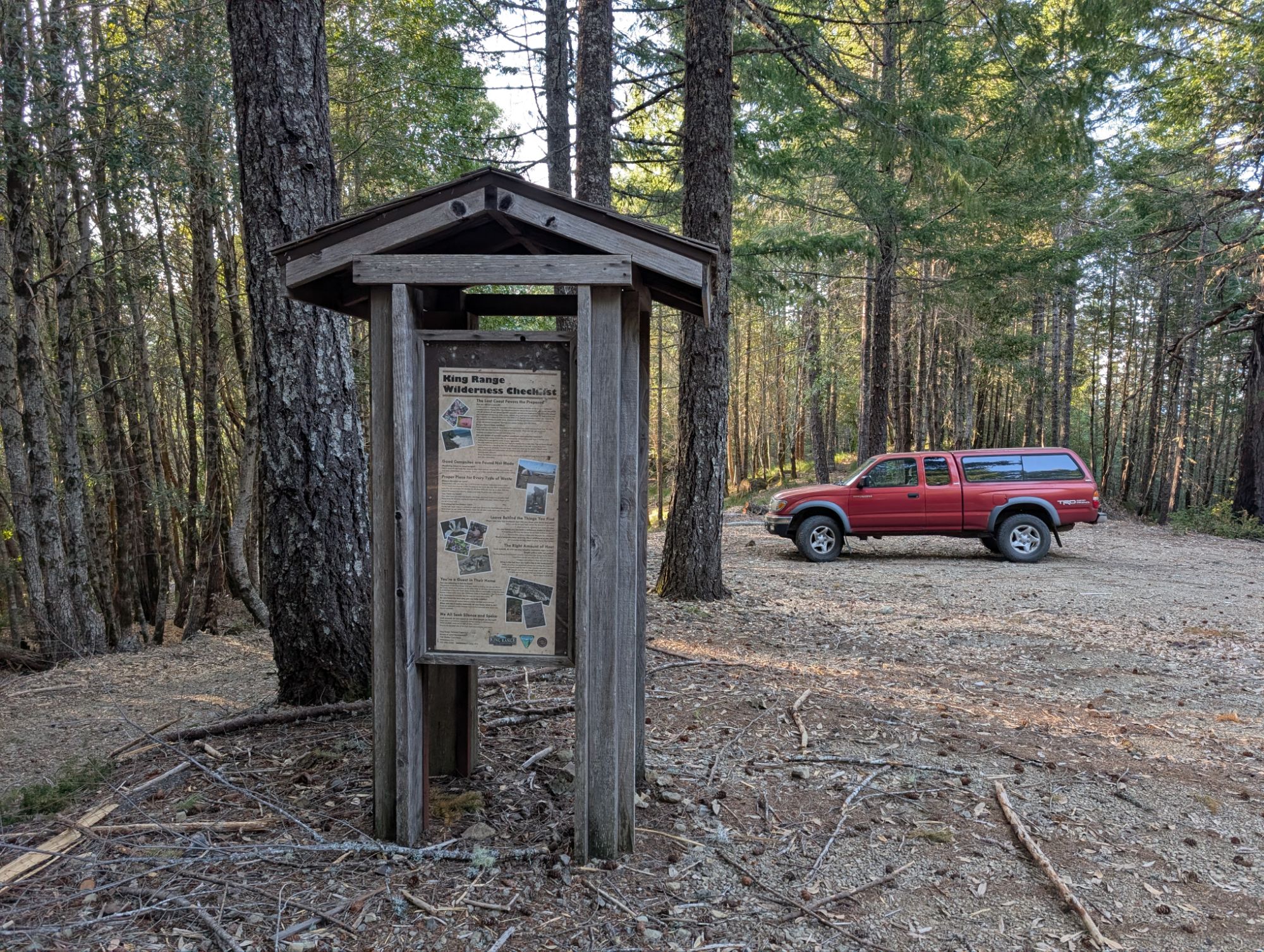
Start: Saddle Mountain Trailhead
Stop: King Crest Trail road
3.12 miles
911′ ascent
643′ descent
After a full day of work, it’s 3:50 pm when I pull away from home and start the drive south. It’s nearly 6 pm when I turn onto Kings Peak Road. I follow the dirt road which happens to be very nice. I even pass a parked grader and I help roll in the new rock on the road. I make a sharp u-turn onto Saddle Mountain Road and it climbs steeply. So steep that I have to put my truck into 4-wheel drive. Within the last year, a lot of road work has been done. The brush along the side of the road has been mowed down and it looks like it has been cleared to meet the 20 x 14 foot emergency vehicle clearance requirement. All the mowed brush has been chipped and a lot of it still lies on the road surface. An occasional branch bounces up and I can hear it hit the bottom of my truck. I round a bend at nearly 6:30 pm and am met with the most spectacular view to the West. It’s ocean as far as the eye can see thanks to the wind that’s ripping across the ridge.

The road continues to climb the ridge and I arrive at Saddle Mountain Trailhead about 6:40 pm. I step out of my truck and all the trees are swaying in the fierce wind. Given the elevation (2,900′) and the wind, it’s cold enough that I don my patagonia wind jacket. I put myself together, hoist my heavier-than-usual pack and hit the trail minutes before 7 pm.


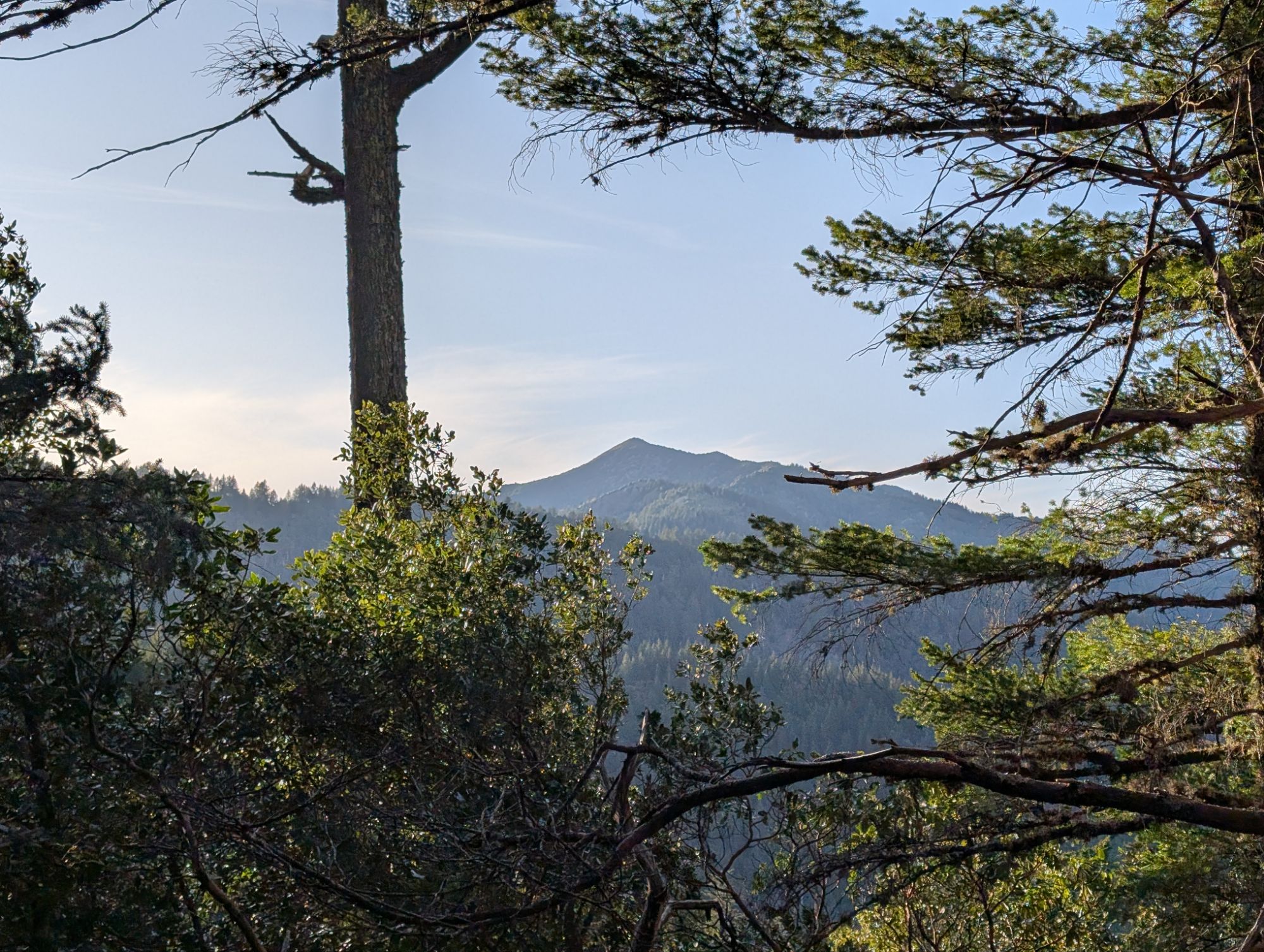
The road/trail treads downhill a short distance before climbing back up to a ridge. It’s kinda spooky to be out so late in the day with all the trees creaking and groaning in the wind. I keep thinking I hear animals which causes me to constantly scan the hillsides near me. I look out through a small opening in the trees and can see King Peak in the distance. I had thought about camping there tonight but I know I won’t make it unless I hike into the dark. Plus with the wind, it would not be fun to spend the night there.

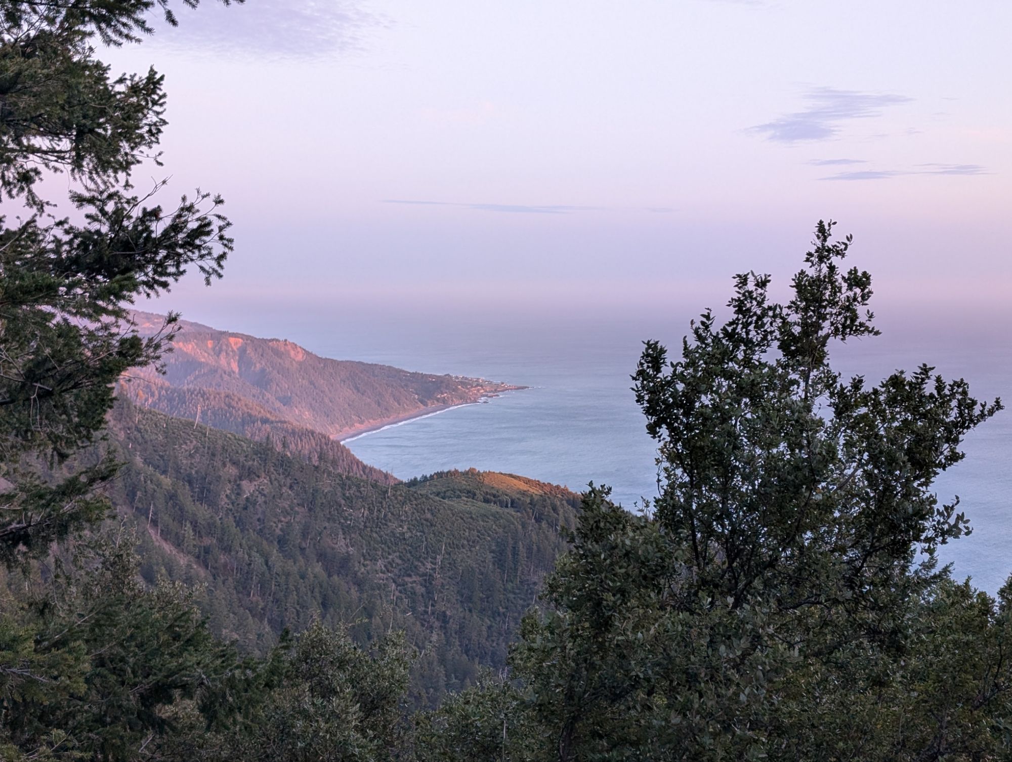
About 8 pm I reach a viewpoint and I can see Shelter Cove to the southwest. I can feel a slight headache starting from all the wind. I hike a bit farther and then head off trail in search of a better view. I push through some brush at my feet and realize that it’s poison oak. I hike a few steps more but realize there isn’t a view and turn around. Well, that was a dumb detour. Back on the road, I realize that my trekking pole has collapsed and shortened itself. Before thinking, I grab my pole to fix it. Ahhh, but the poison oak! I hike on but all I can think about is the poison oak. I eventually stop to remove my wind layer since I’ve overheating from the climb. Even though it probably doesn’t cut the poison oak oil, I put hand sanitizer on my hands and trekking pole cork. If nothing else, it appeases my mind which is hopeful enough to believe that it works. While stopped, I realize that the lens cap is missing from my camera. Well, I’m definitely not going back to look for it. I did buy extra lens caps for just this reason but I’m pretty sure that I don’t have any packed with me. And I usually carry a tiny dropper with dr. bronners soap but I know that it’s not in my gear. I could have used it with a little water to wash any possible poison oak oil off my hands. Wow, my gear prep was clearly not thorough enough. I’m only one hour into this hike and gear mistakes are popping up fast.

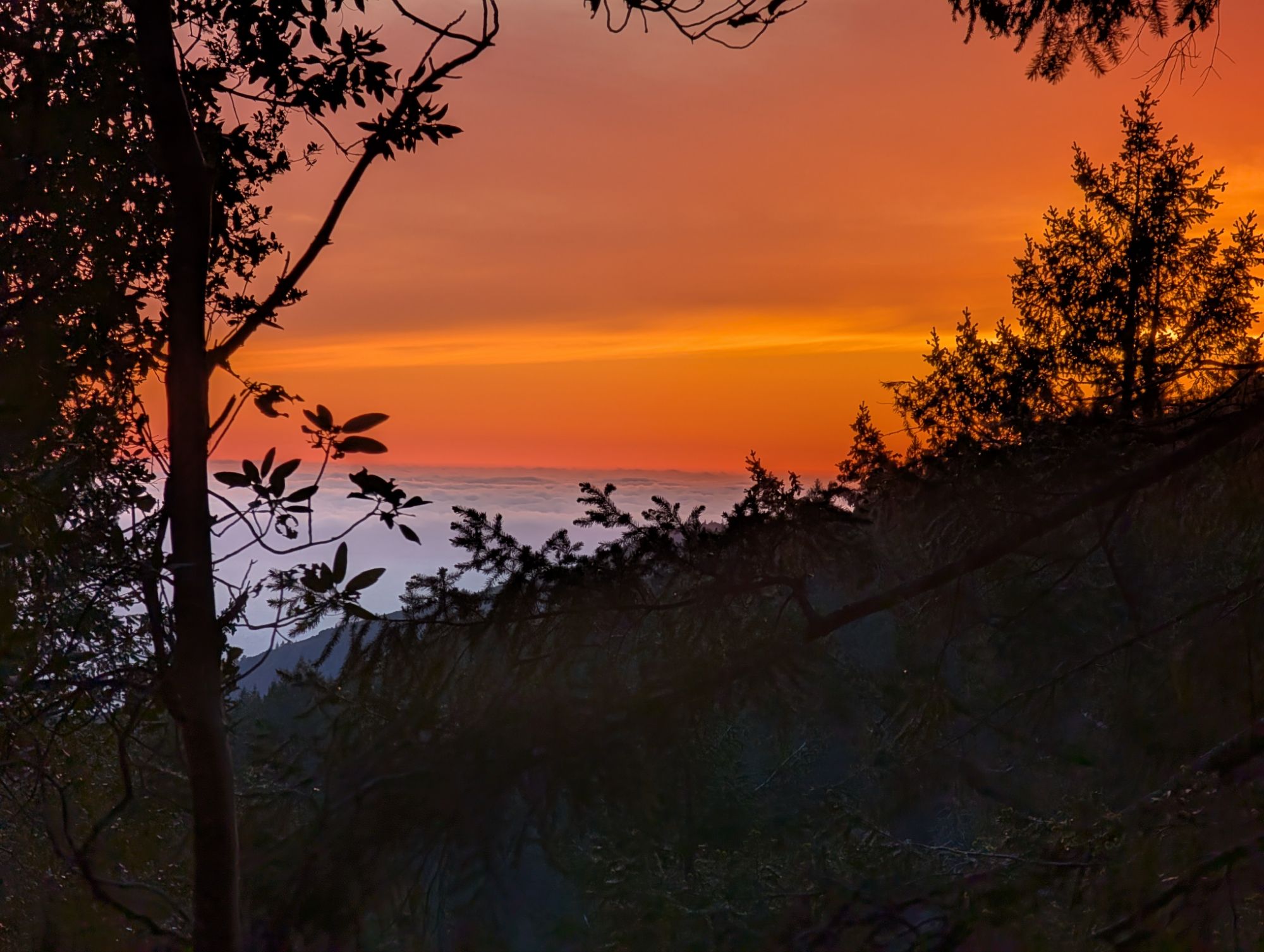
About 15 minutes later, I can tell that the sky is going sunset orange but my view is mostly blocked by trees. I happen upon a little window where I can see the golden heavens brightening the tops of the fog layer.
As the sky goes dark and I hike on, I look at my topo map for possible camping spots. I come to a spot on the road where it’s flat and also to the southern side of a little unnamed peak. This looks like a good camping spot but I continue on. I round the corner and I’m blasted by the wind. Nope. I turn around and head back to the spot where I clear a few rocks and sticks. I start setting up my tent but it’s so dark that I grab my headlamp out of my zpacks front utility pack. The road base is rocky enough that I can’t get my stakes into the ground and have to use a rock to pound them in. I unload my backpack contents into the tent. I put my food into the bear canister and set it a ways down the road from me. I pee before getting into my tent where I immediately change my clothes. I get into my base layers and alpaca sweater and pull my sleeping bag up around my body because I’m a bit cold. I charge my cell phone and figure out that my external hard drive cord to usb adapter doesn’t stay connected very well. Miraculously, I have cell service here. Camped here at 3,147′ I can hear the wind pushing through the trees above me but it’s fairly calm at my tent. I set my alarm for 4:30 am and try to fall asleep.


One thought on “King Crest Lost Coast Day 1: Into The Windy Belly Of The Beast”
Comments are closed.