Sunday, December 14
McKay Community Forest
Northridge Trailhead
Eureka
Unceded ancestral land of the Wiyot Tribe
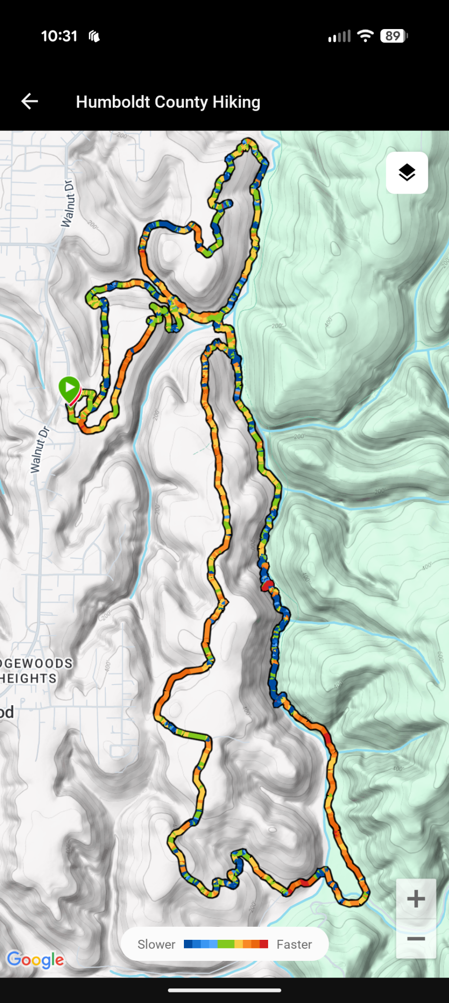
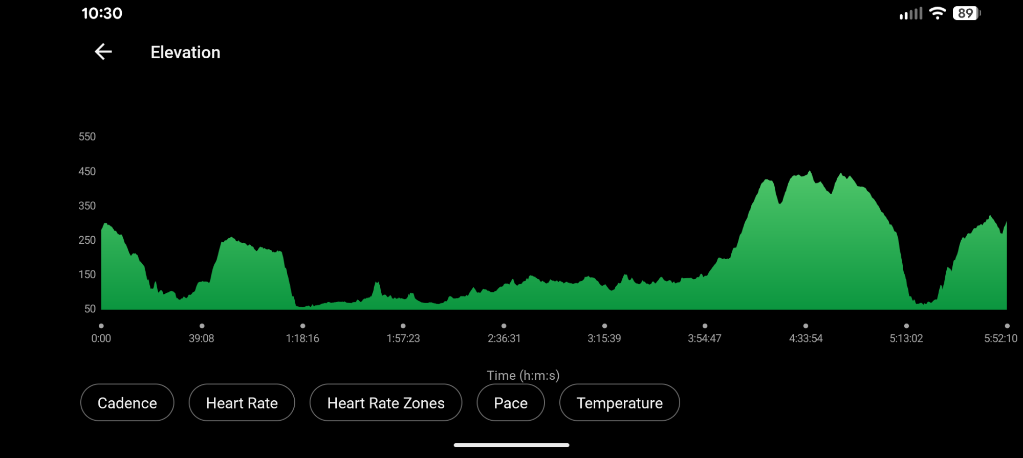
13.65 miles
1386′ ascent
1370′ descent
With sunrise close to 7:30 am, I depart home about 7 am. As I arrive in Eureka, spectacular morning colors paint across the sky.

I am the first to pull into the trailhead parking lot just minutes before 7:30 am. I eat a bar and suck down coffee and water. I drink as much as possible since I will only carry one 11 ounce bottle of water with me today. Not knowing this forest and given its history and proximity to civilization, I would expect not to collect any water without a filter. Today I’m only carrying my ZPacks front utility fanny pack with 3 bars, electrolyte mix, 11 oz. bottle of water, meds, a couple bandaides, tp, swiss army manager knife, chapstick, patagonia houdini jacket. Carabinered to the outside is my pee rag, phone is in my legging side pocket and trekking poles in hand.
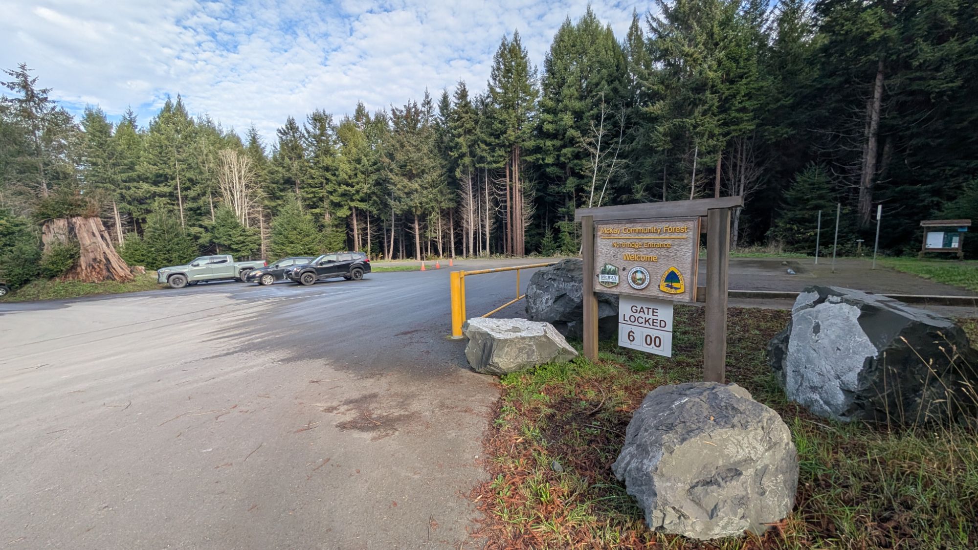
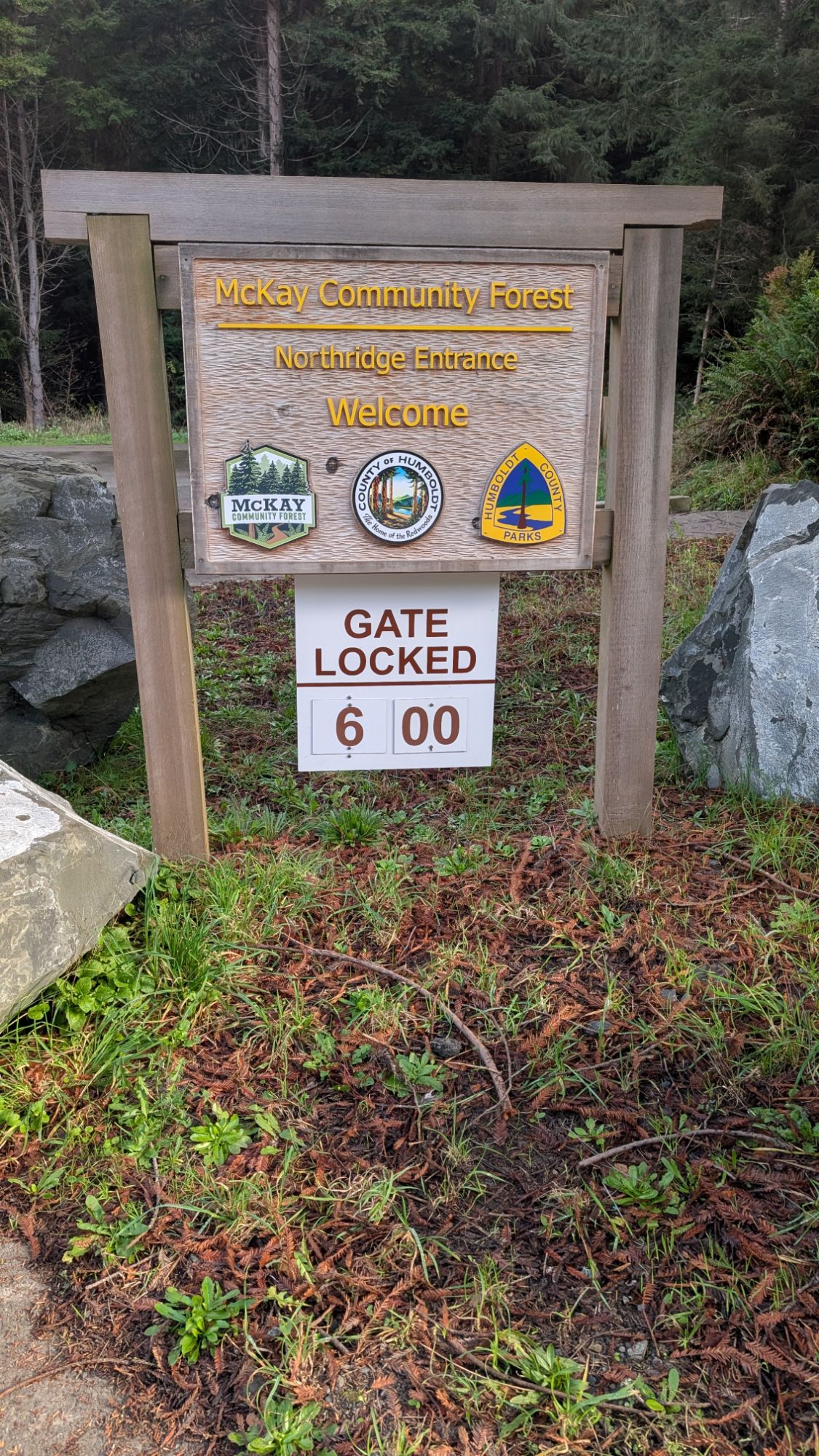

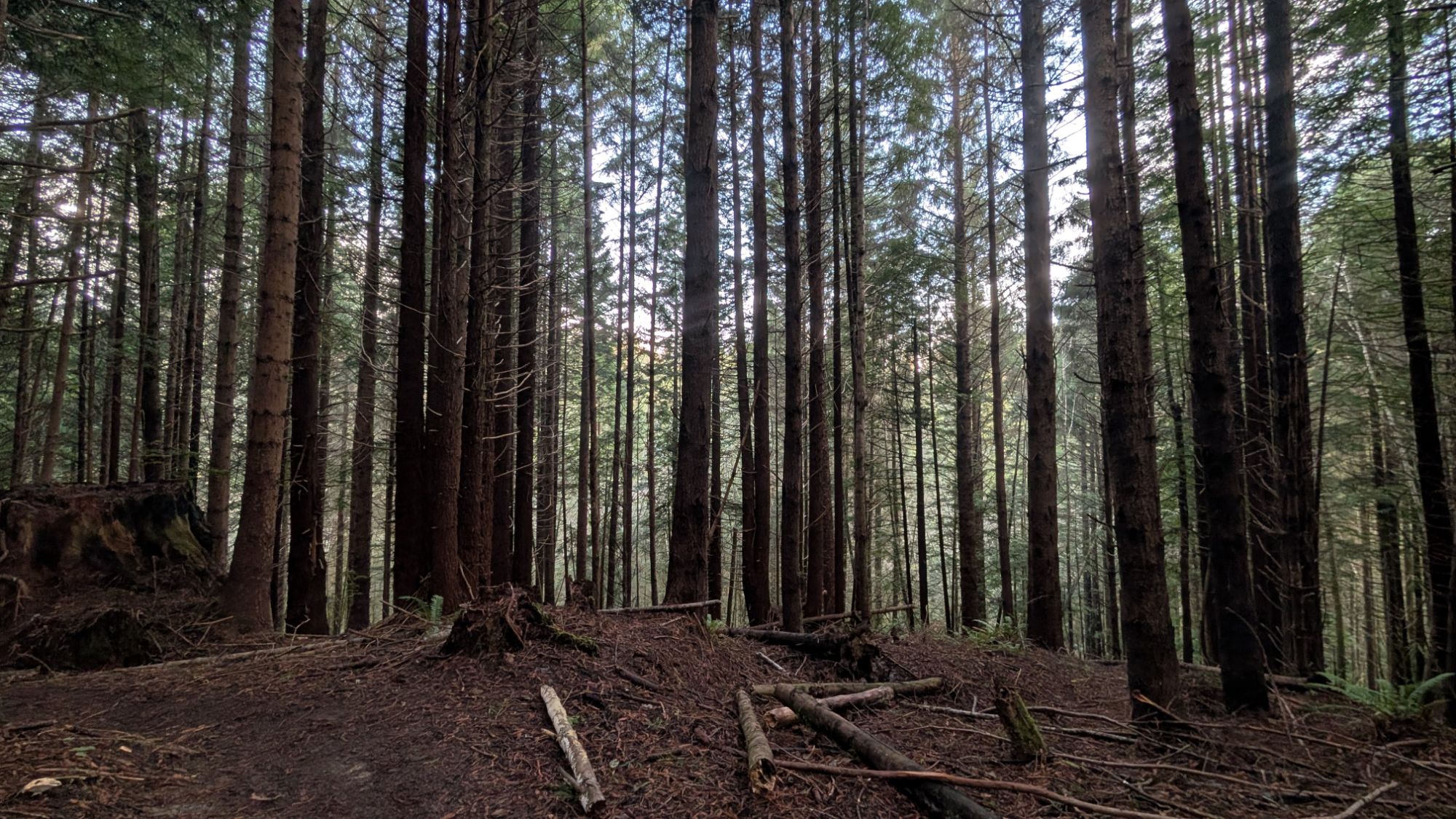
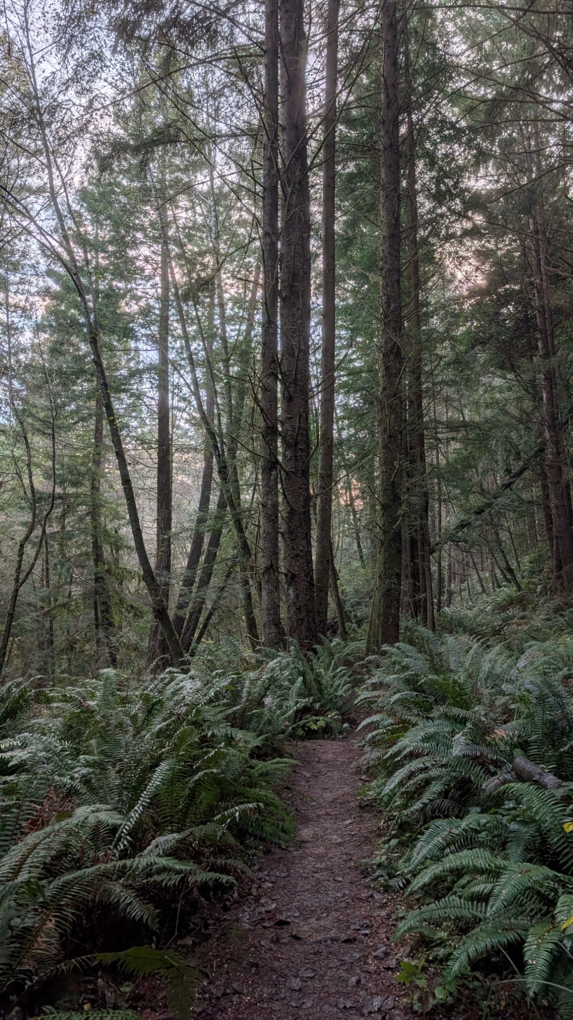
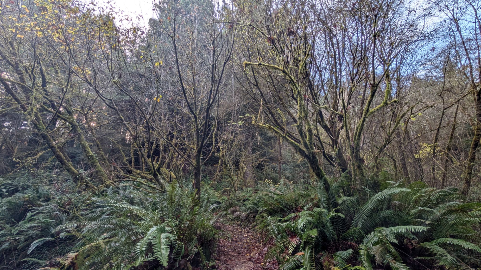
I lock up my vehicle as a big truck pulls into the parking lot. Two people and a large, barking dog pop out of the vehicle as I’m walking towards the trailhead. I would normally take some time to look at the things posted at the trailhead, but they are just kind of staring at me and I can tell they are waiting for me to get going. Plus, their dog keeps barking, so I start walking quickly on the first trailhead I see. I enter the forest and it’s immediately so dark that I almost need a headlamp.


In a rush, I fork onto the first trail I see. I haven’t gotten very far when I hear yelling behind me. The people are yelling at their dog to return to them, who I can hear starting to approach me from behind. It’s all very unnerving in this dark forest.


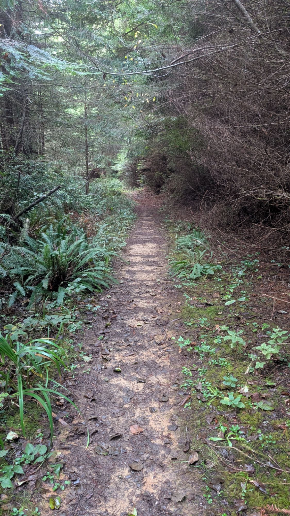
I walk quickly and then fork onto the hiking only portion of the Bob Hill Gulch Trail. I hike along but keep checking my phone to see where I am compared to the gpx track that I downloaded. I eventually stop as I shuffle between my Gaia and Garmin Explore apps. For some reason, the Explore app has the track in gray which matches all the other trail colors. I hear something and look up to see a dog running towards me. I’m pretty sure this is a different dog and these owners are also yelling at their dog to return to them. More unnerving moments in this too-dark forest. I turn and start walking fast again to get away from the unleashed dog and yelling owners. This trail is aptly named because this creek bed is very gulch-like and has very little flowing water, if any. There must be water trickling but I can’t hear it and it just looks like little stagnant pools. A varied thrush whistles overhead while a spotted towhee “jays” in the brush.
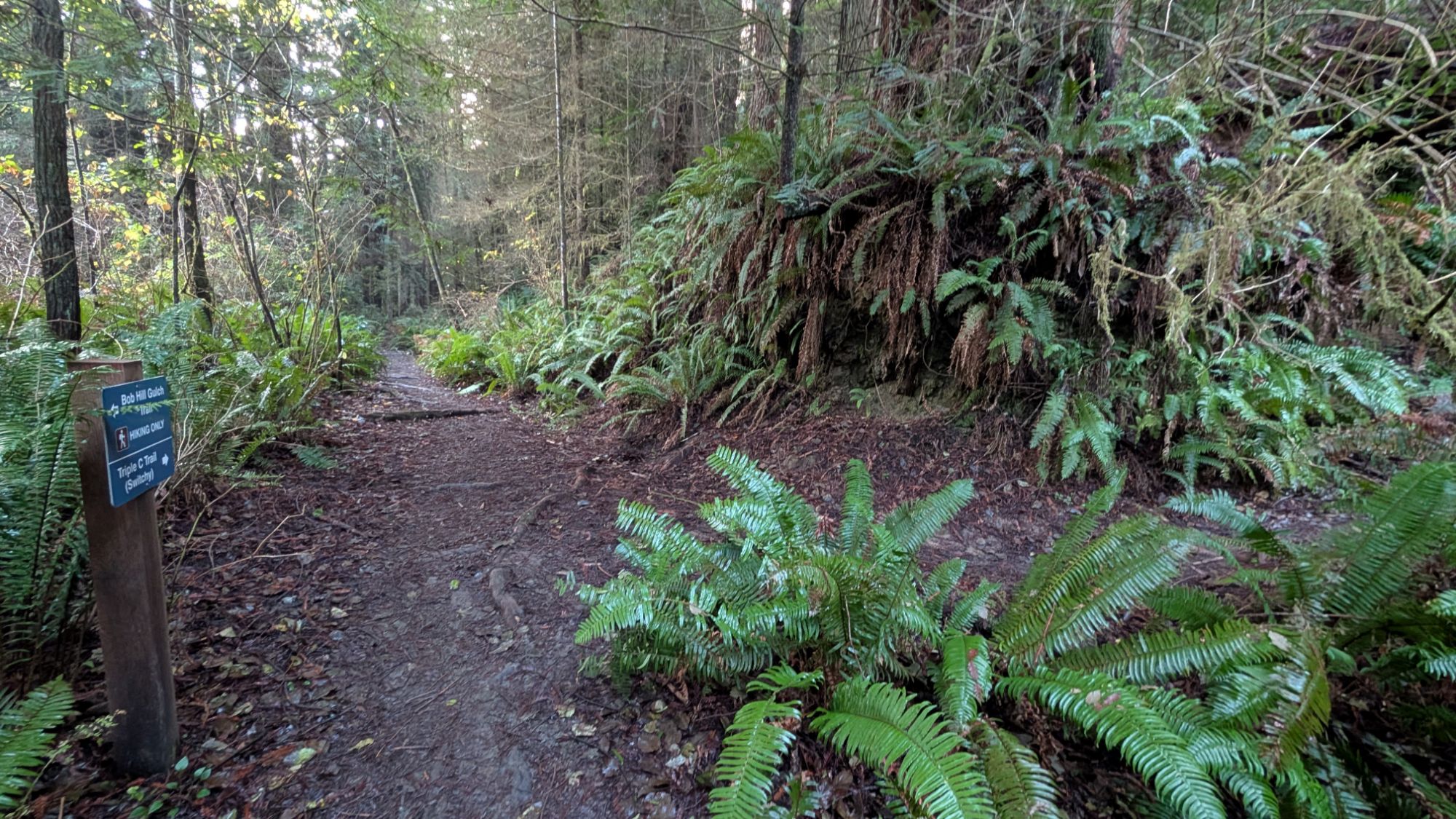
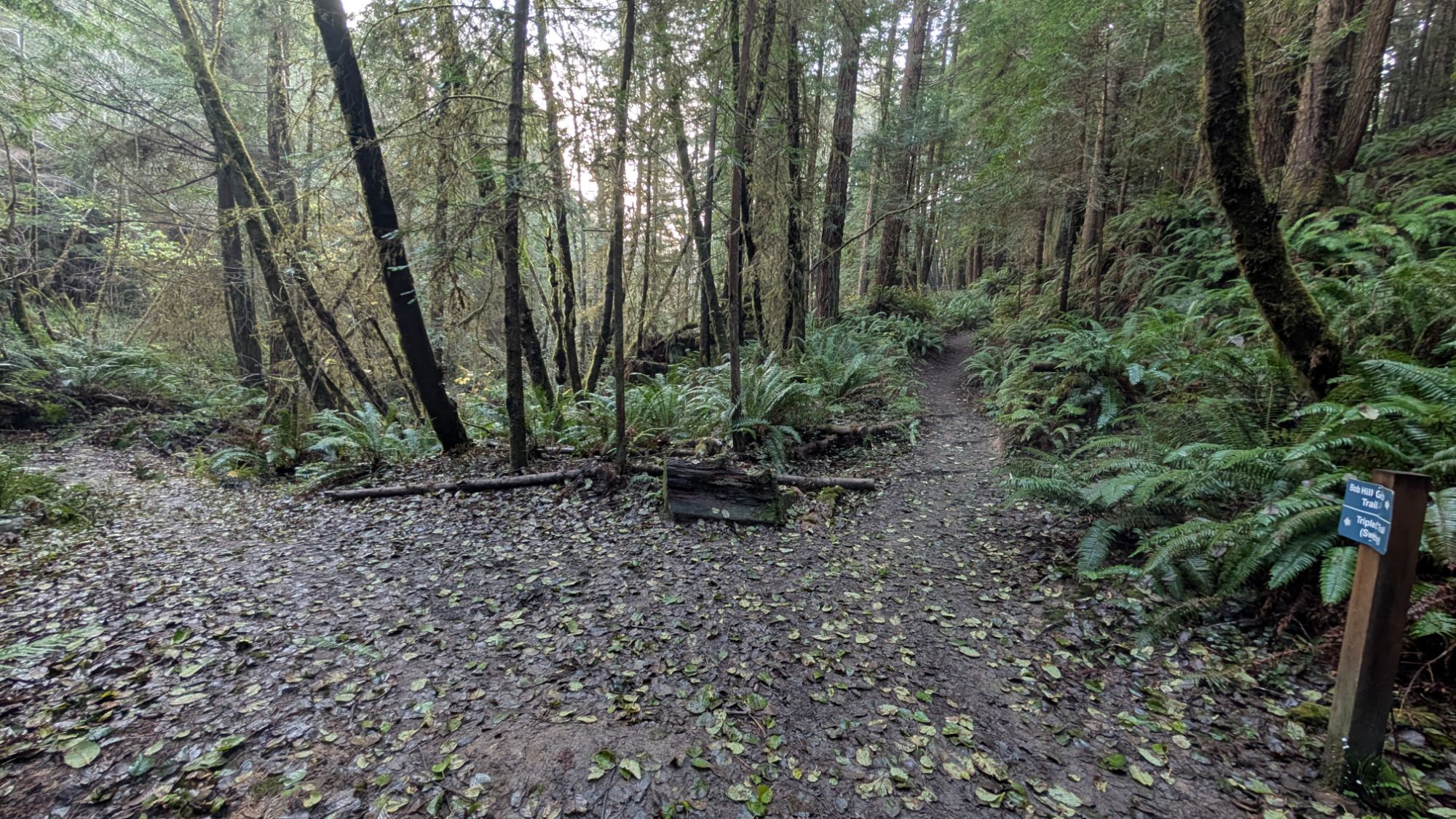

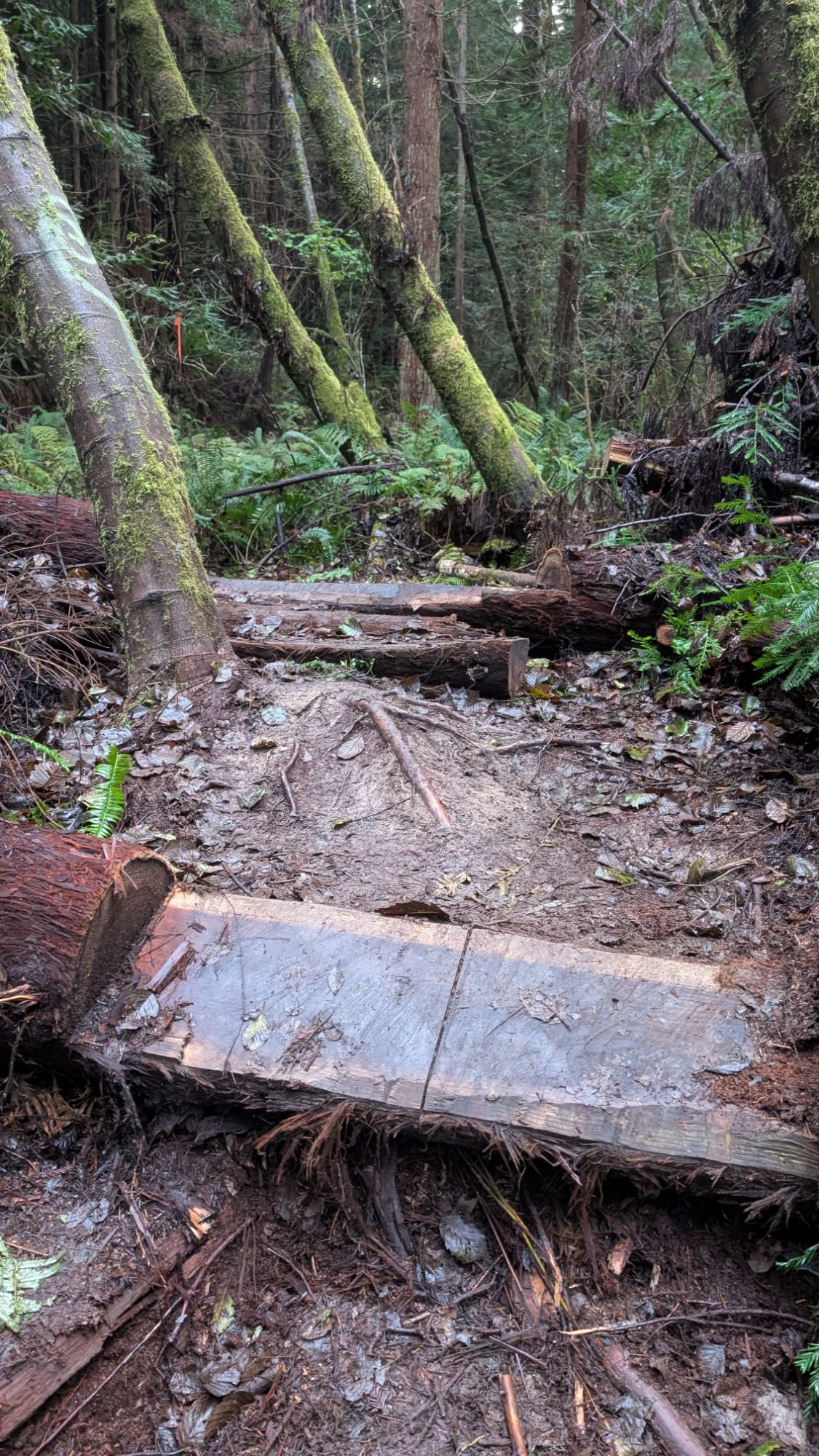
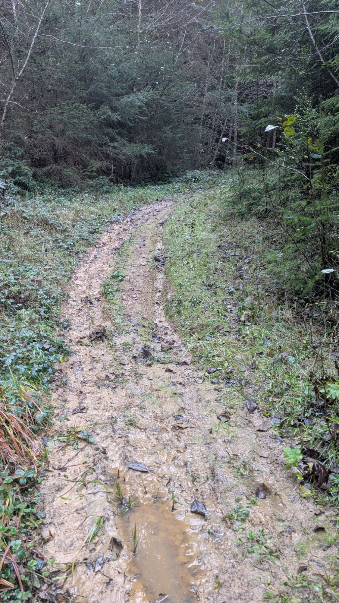
During my pre-hike map study, I decided to hike this direction first since it’s closest to Eureka roads. Even at this early hour on a Sunday, I can hear the hum of cars in the distance. The hiking only portion of the trail merges with a multi-use part of the Bob Hill Gulch Trail. There’s a faint trail that forks off to the left. Is this loop called Bob Hill Gulch or something else? Post-hike, I figured out that this northern loop is not even on the official McKay maps. This loop is listed in the Hiking Humboldt Vol. 1 book as the Bob Hill Gulch loop but their trail names don’t match the official McKay maps (shown at end of blog). Regardless, the trail is clay-rich sticky mud and it looks like the trail maintenance has been more bicycle oriented? Or why else have these logs been cut at angles? I appreciate the effort but one can not hike on angled slippery logs without risking injury.
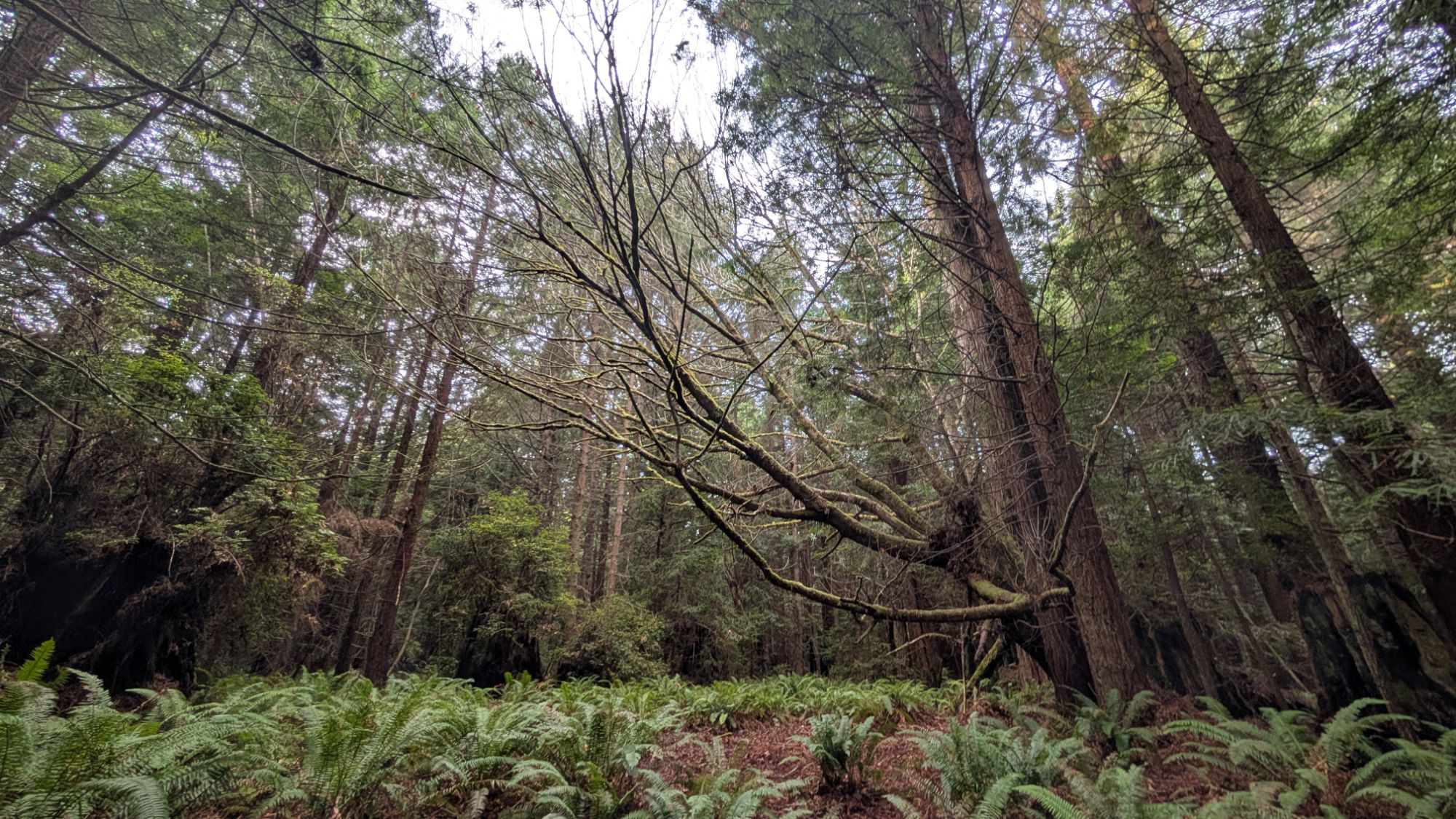
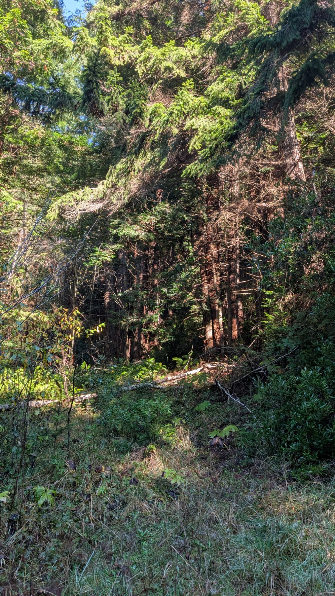
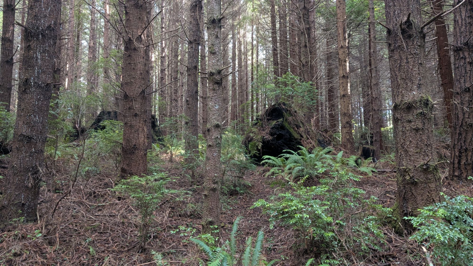
I come to a large fork in the trail and without much thought, I head to the right. I go a short distance and realize that there is a fascinating labyrinth of trails in this flat area. Without losing sense of the overall direction that I need to head, I circle through a thicket before popping out into open forest. Very much a choose your own adventure in here. It’s 8:30 am and the first rays of light are finally penetrating the thick forest. There are massive, ancient stump relics as reminders of that which once was grand.
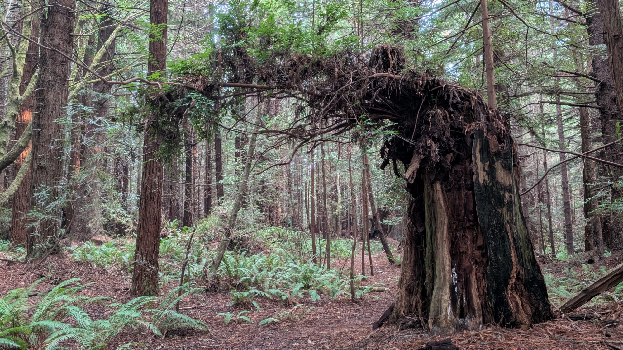


I meet Stump’y which is amusing but also kinda unnerving. Someone has made quite an effort to haul all this stuff into the forest. I follow a trail to the right but it sorta leads to a ravine and ends. I turn around and connect to another trail that will hopefully lead me back to the main loop trail, whichever its name.

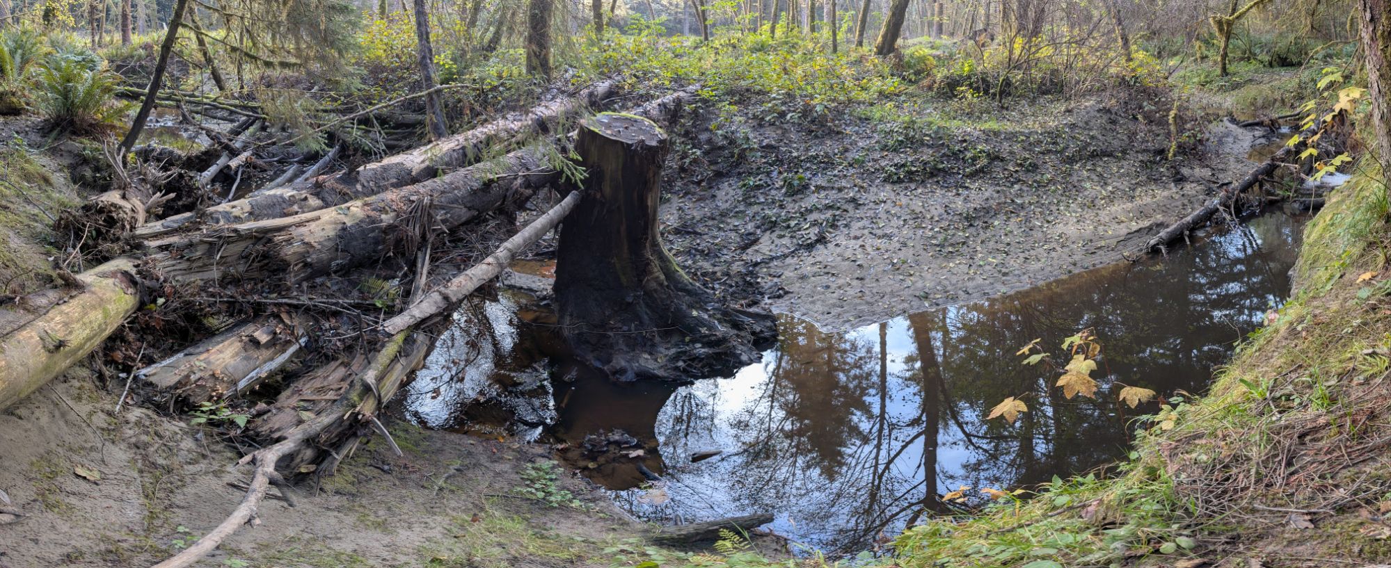
With my track realigned with the downloaded gpx track, I descend through the forest passing beautiful Stopharia and Amanita mushrooms. To my left, there is a line cut through the trees for a powerline and I can hear red crossbills flying overhead. At the bottom of the forest, the trail hits a T junction at Ryan Creek. I could explore to my left but stick with my planned loops and turn right. I follow muddy track along Ryan Creek which is more stagnant than flowing.


Picking up my pace I push forward, weaving around the muddiest parts of the trail. I stop to photograph some mushrooms before continuing forward. Wait, I think I’ve been here before. I turn around and sure enough, I have just passed the not obvious little connector to the Bob Hill Gulch Trail. I turn left onto the Bob Gulch Trail and start to hike uphill. I open the Garmin Explore app and check my location. Well shoot. I needed to catch the junction to the other southern loop when I was on the previous northern loop. I turn back just as I hear approaching people running on the trail uphill from me.
I cross the little connector again and turn right. I remember seeing an obvious trail and I’m not sure why I didn’t stop to check my location. I can hear the runners in the distance and what sounds like a dog approaching quickly behind me. I turn around as it approaches and I give a loud “hyah” and click my poles together. The black dog skids to a stop and runs off in the opposite direction. I turn right down the trail and get out of sight just as the runners fly by.
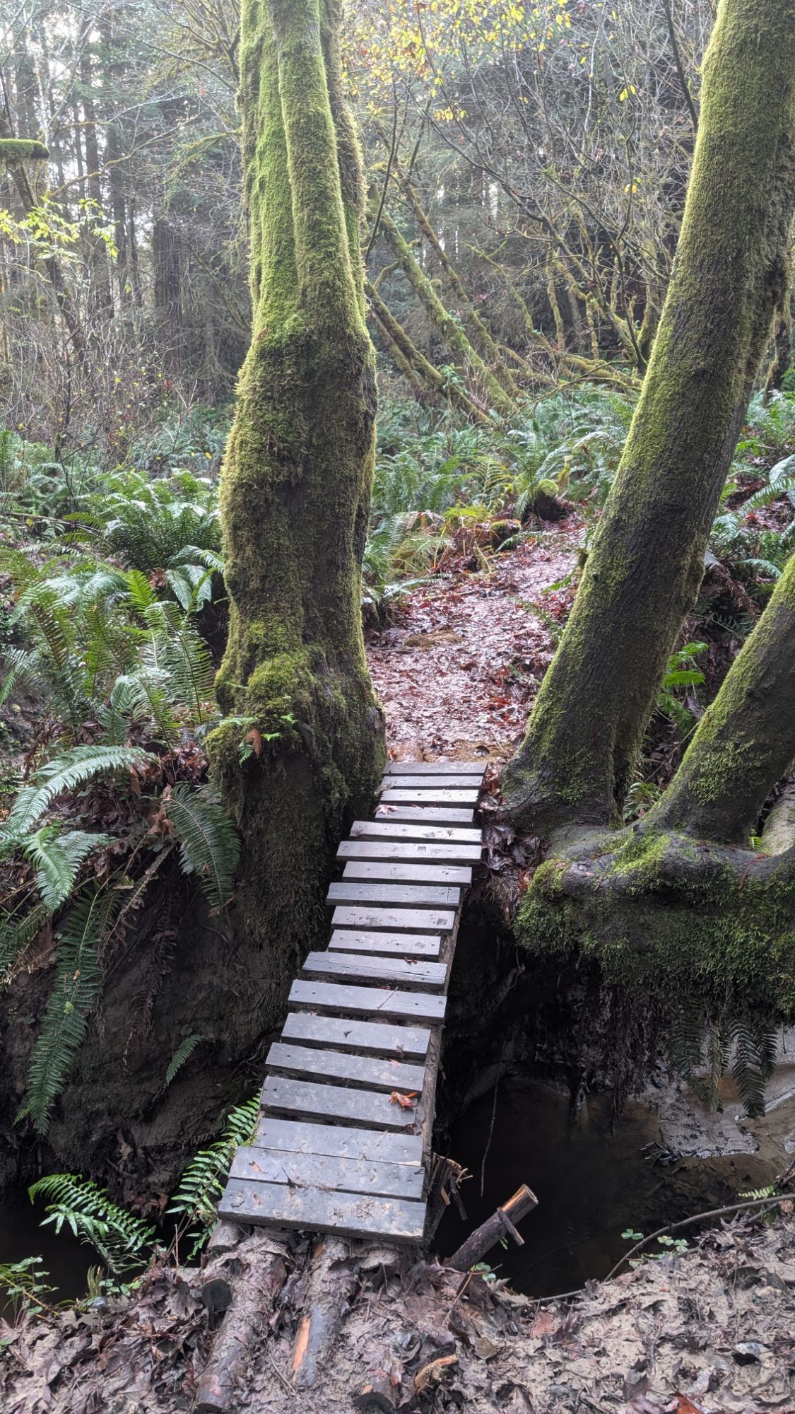
I check my track and it matches the gpx line. I cross a slightly rickety and slippery bridge and hike a short distance before reaching another T junction. I fork left and follow the trail a quarter mile before stopping for a bathroom break. I allow myself one small sip of water.
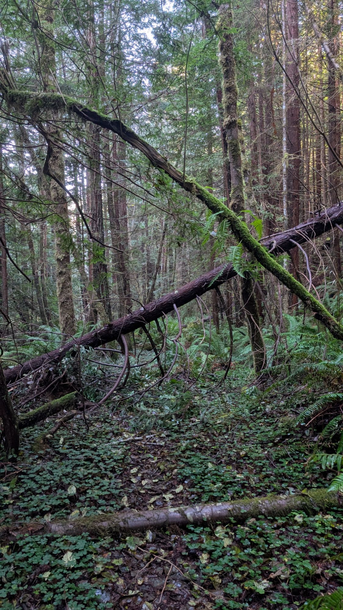
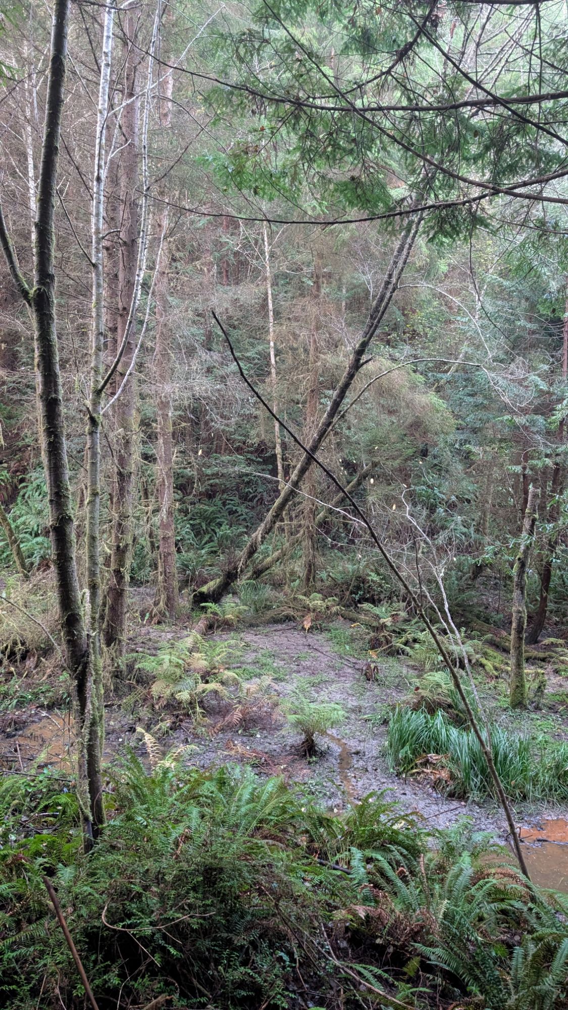
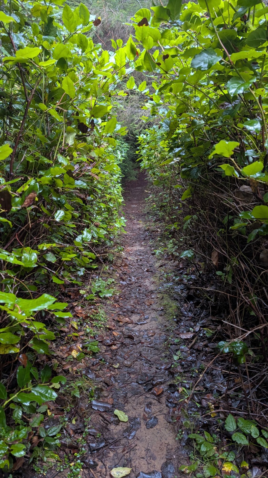
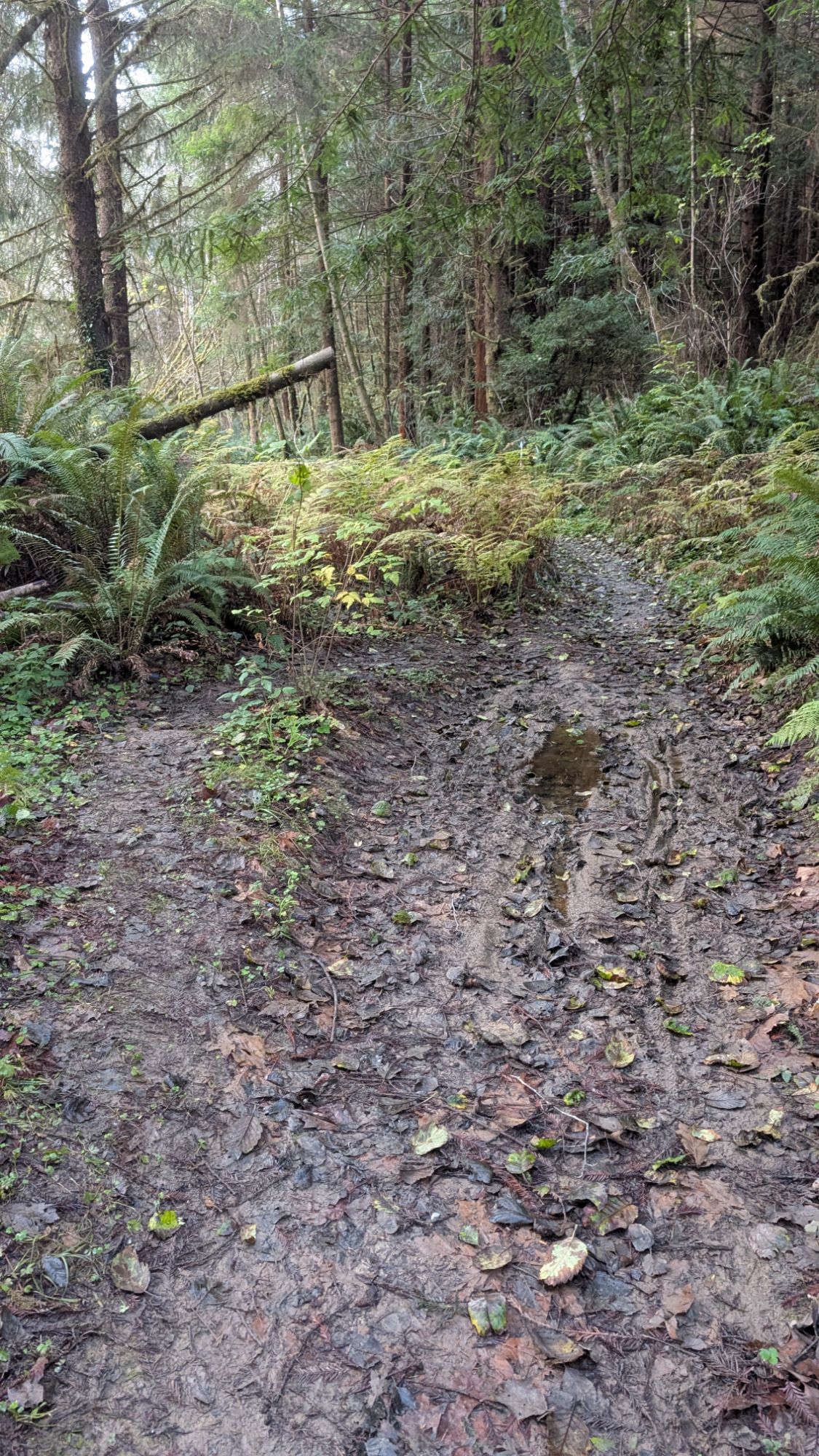
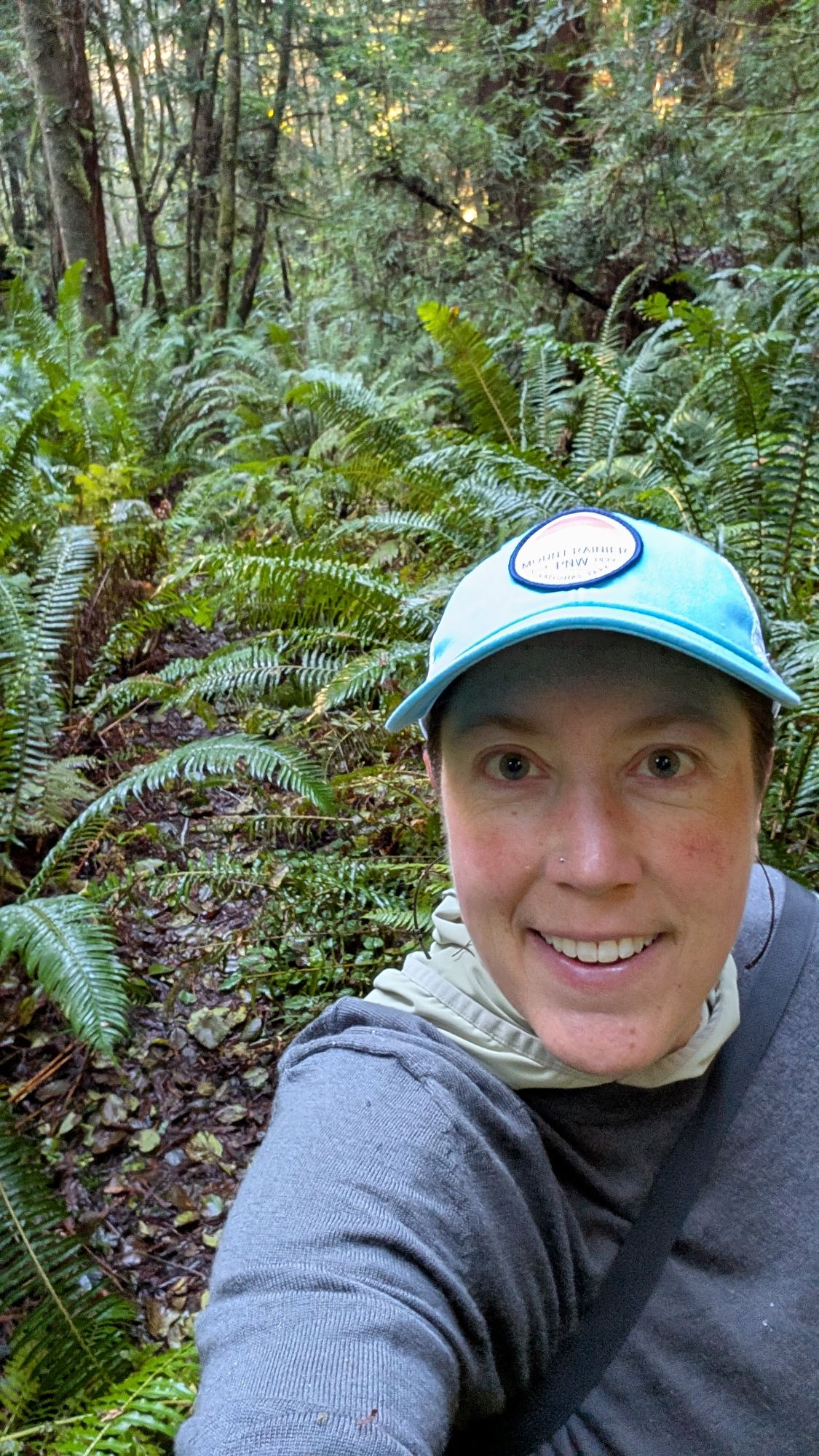
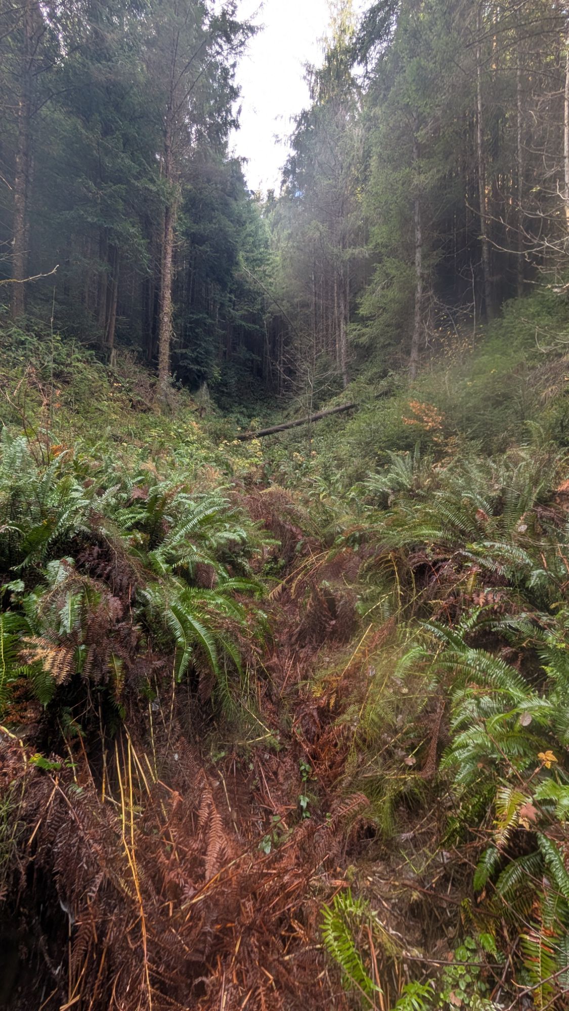
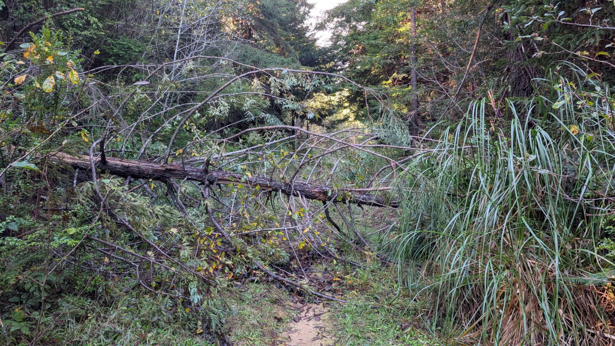
The trail is not well tread but it’s easy enough to follow. I come to a point where there’s a fence and a clear line across Ryan Creek to a road. Wow, that would be easier to hike than this sorta trail. I consider it but continue forward on the West side of Ryan Creek. There are a few blow downs but they’re easy enough to get through. The “trail” becomes more overgrown as I start to push through tall sword ferns. That’s the “trail” pictured directly behind me. All the trail foliage sheds its water onto my boots and legs. Not to mention that my face is constantly full of spider webs. I call this “cutting trail.” There’s a window in the forest and I look out longingly towards the obvious road cut. Again, I contemplate crossing over to it.
Everytime I think I can’t take any more bushwhack, the forest opens up and I get a reprieve. About 10:15 am I cross a log bridge as the sunlight casts a warm, glowing beam through the forest.


After this bridge, the bushwhack intensifies and my spirits dip. I push through brush that towers above. Water sheds onto me and my leggings become completely soaked. Cobwebs fill my face as I feel the dampness at the seams of my boots.


At 10:50 am I check my track and at best, I’m only 2/3 done with the creekside route. I really thought today was going to be a quick hike because I have so many other things I need to accomplish. With the bushwhack intensifying, it could take me another 40 minutes to one hour to complete the last 1/3 of this section. I can see the road across the way and a fairly navigable path to get there. I turn towards Ryan Creek and it is not much different than what I’ve been hiking. Luckily, I check the “hillside” with my trekking poles before falling into a fern hole. I hike laterally and get onto a log that takes me to the top of the creek bank. I use trees to help me get down to the creek and then it’s an easy cross. I grab onto the base of grass tufts which I use to pull myself up the bank. Once on the road, I contemplate turning back from where I started. I check the map and see how I can get back on track and connect roads to a ridgetop. It has to better hiking up there! And so, I don’t give up and continue forward on my adventure.


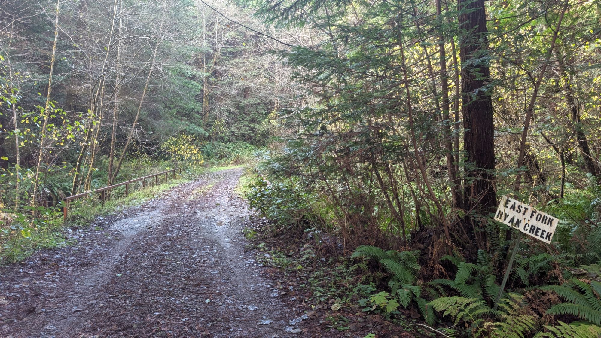
I’m moving fast enough now that I can feel the wind chill on my soaking wet leggings. At the junction, I bear right and cross the East Fork of Ryan Creek.

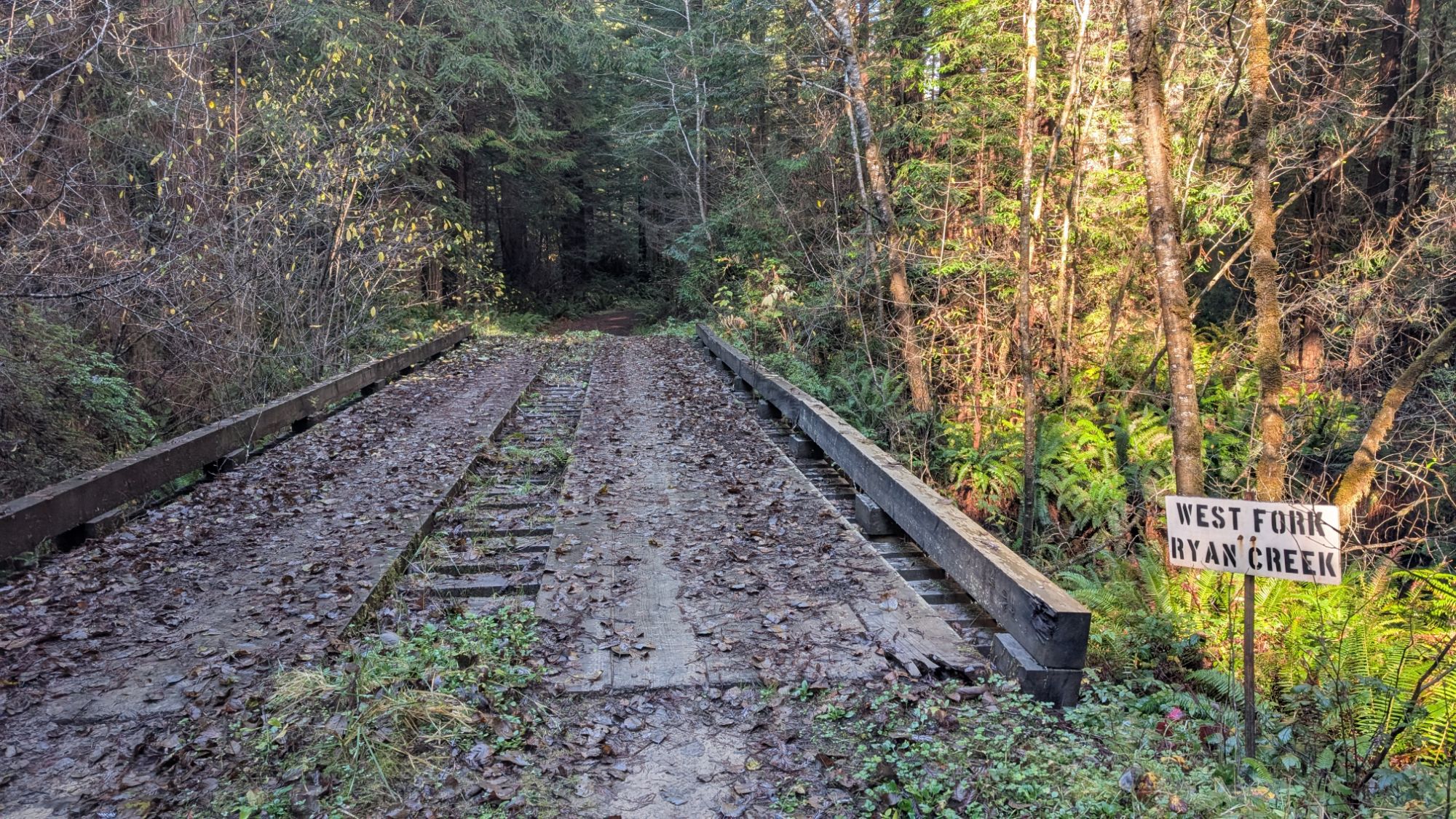
Then bear right and cross the West Fork of Ryan Creek.

Uh oh, there’s a sign stating that I’m entering the McKay Community Forest. Guess that means that I must have left the forest. Which means I probably have unknowingly been trespassing this last little bit. I pass another junction and take a short standing break about 11:30 am. I pee, eat a bar, take my meds and drink half of my water.

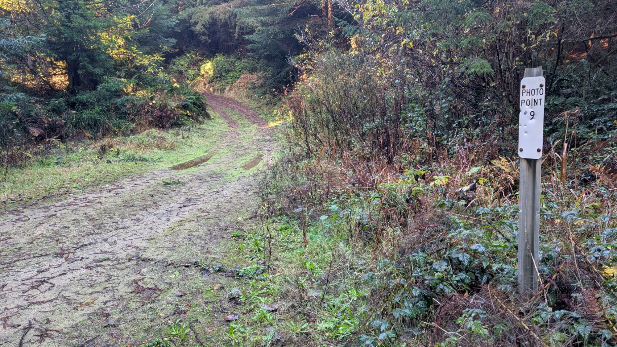
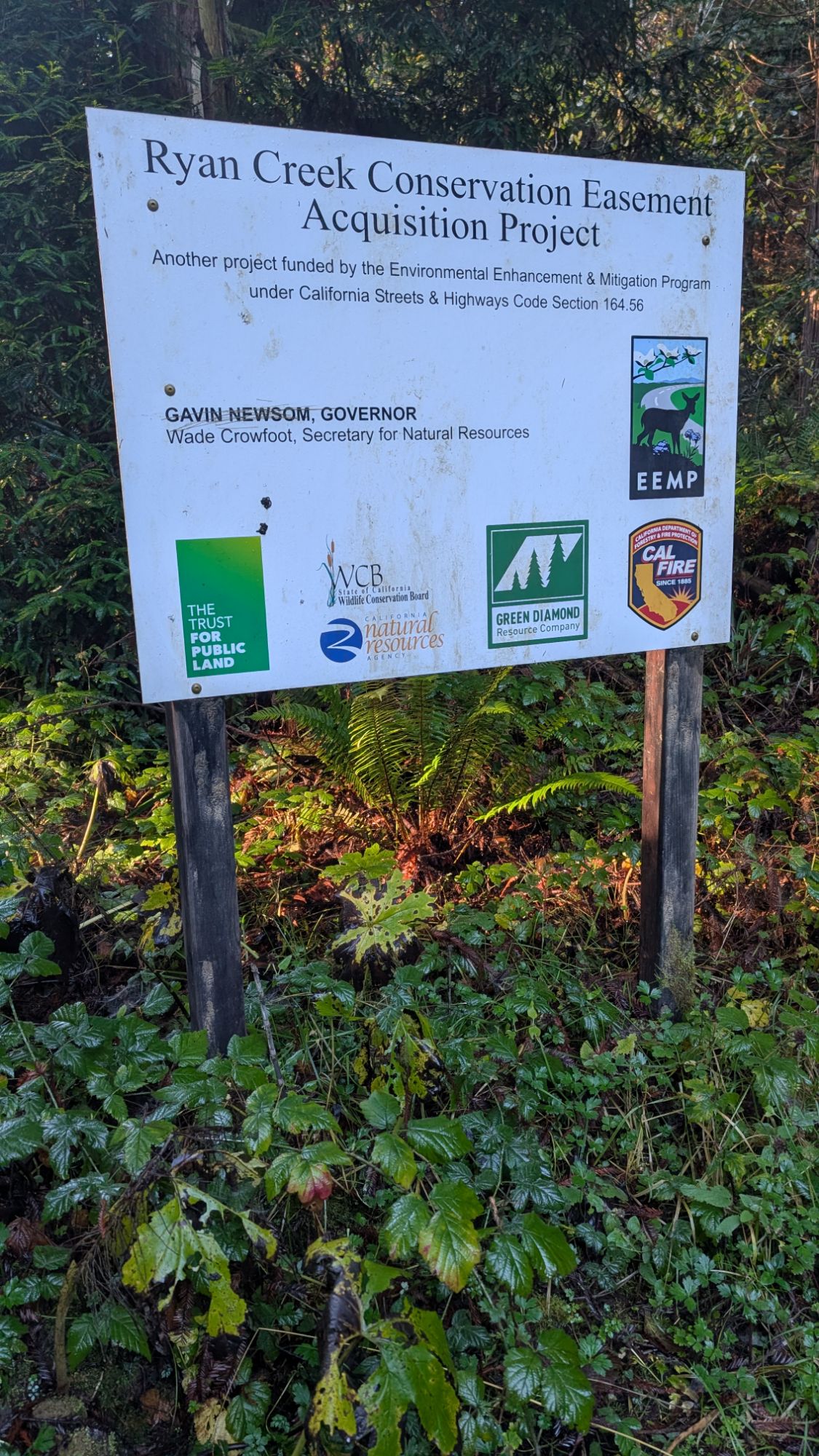

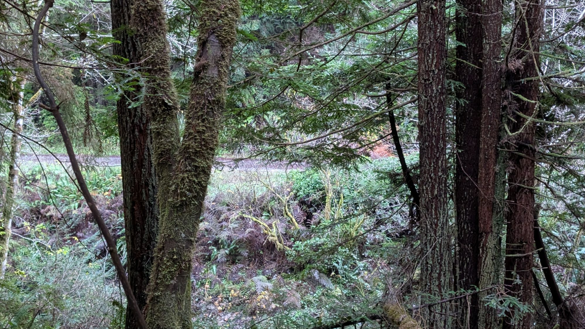
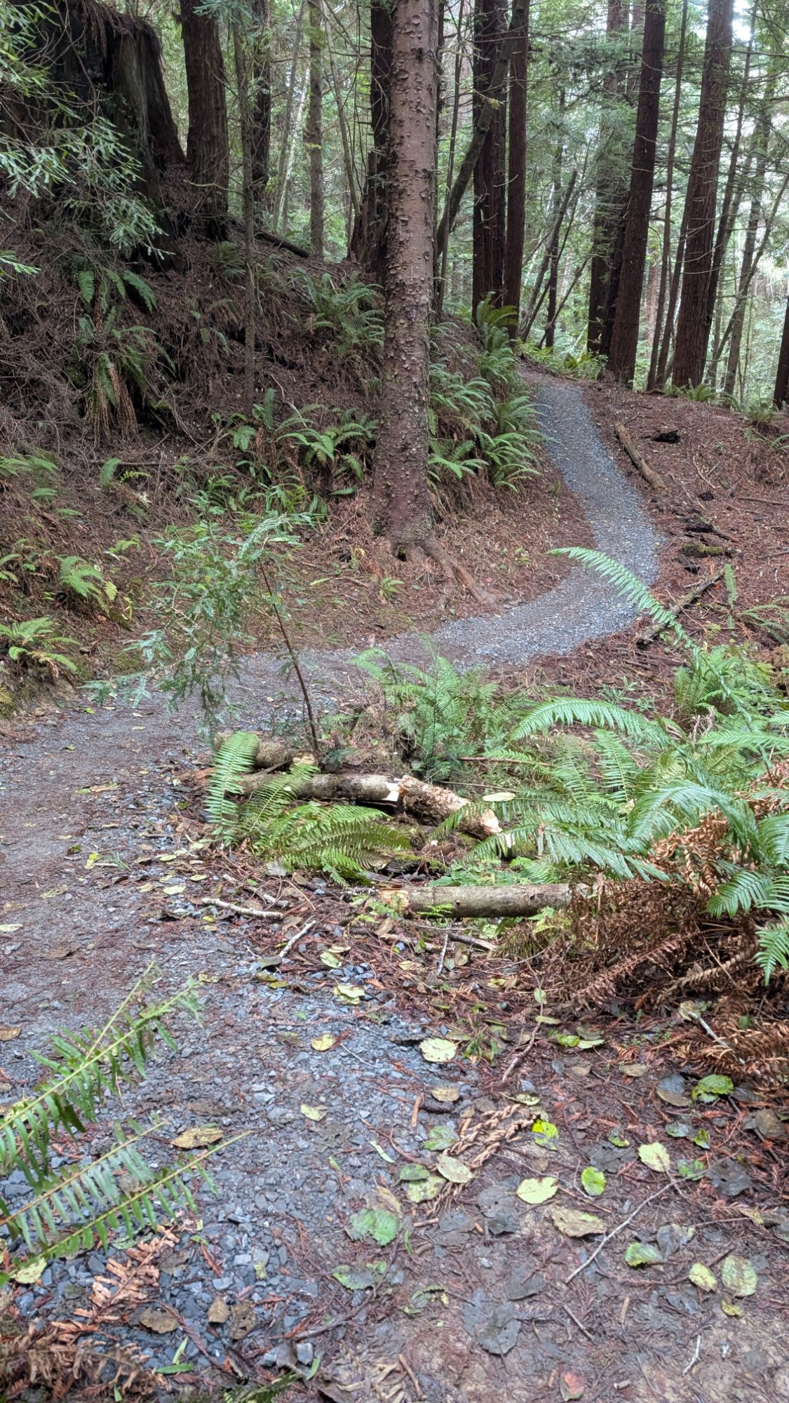
I reach another junction with these really proper project signs and fork right. It’s smooth sailing on this road and I keep a close eye on my map. I hear a pacific wren and ruby-crowned kinglet as I come to the point where the trail is supposed to diverge from the road (picture on right). It doesn’t look promising so I stick with the road which will technically be a longer route. I pause to watch a song sparrow who lets me get close.

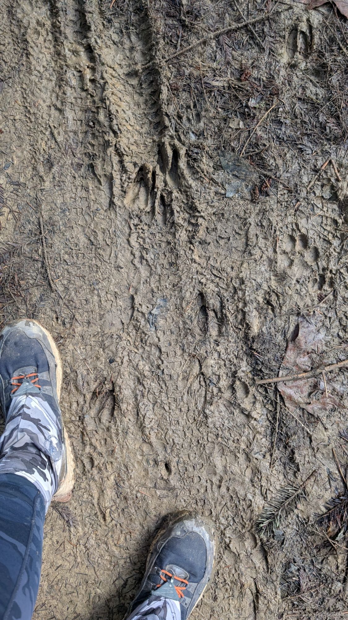
The road climbs and I’m grateful for the rhythm and the warmth. There are lots of deer tracks in the mud and maybe a mountain lion print. Or maybe it’s just dog prints that have gone both directions.

I reach the ridgetop and crawl through some blow downs. I continue along and contemplate bailing into Ridgewood Heights and then walking Walnut Dr. back to Northridge Trailhead. I can hear a plane flying overhead and then it appears against the clouds between the trees.

This road walking is going much quicker so I decide to stick with it and complete this southern loop. It’s about 12:30 pm and I figure that I have at least another hour of hiking.


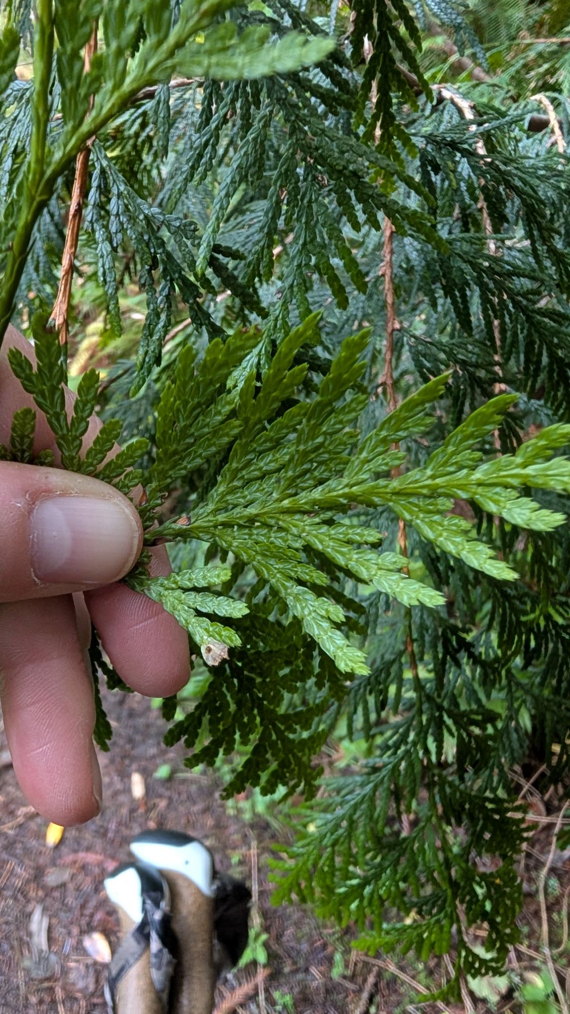
About 12:50 pm I spy Thuja plicata, Western Red Cedar just before I complete the loop and rejoin the trail I left nearly 3.5 hours ago. I hike with purpose, rejoin the the north loop, hit the connector back to the Bob Hill Gulch Trail/Triple C junction and power uphill through the switchbacks of Triple C Switchy Trail. I’m pushing hard enough that I actually start to sweat a bit.
I fork left onto the Perimeter Trail and meet two different couples, each of whom have an unleashed dog. I rehike a small portion of the Perimeter Trail before forking left onto a short trail to the parking lot. It circles around through the rather bleak forest and I imagine that it will connect to the northern end of the parking lot. But no, it skirts below the edge of the parking lot and pops up at the trailhead sign. I didn’t notice it earlier, but this trail is signed as the Bob Hill Gulch Trail. It’s exactly 1:30 pm and I linger for a few minutes to take pictures of the trailhead signs and parking lot entry. I check and the sign most definitely says “All dogs must be on a leash. Please keep dogs under control and pick up dog waste for proper disposal.” All day I didn’t see a single dog on a leash so if you visit, be ready for that too!


ROUTE NOTES:
It’s unclear to me if the Eastern boundary of the McKay Community Forest is Ryan Creek or the R-Line Road that follows the same path. It’s possible that you could hike the R-Line Road, which is on the East side of Ryan Creek but it may not be within the forest boundary. The very southern toe of my route is where I must have left the McKay Community Forest. I’m not clear if I trespassed on Green Diamond land or someone’s personal private property. Regardless, you must stay on the overgrown creek “trail” in order to not trespass. Humboldt Hiking Volume 1 (Second Edition) has this hike in their book so I was surprised to find the Ryan Creek portion of the southern loop so impassable. Their description says to be prepared for encroaching vegetation but wow! The deer have been using the route but there’s only so much trail maintenance that they can do. My hike was 13.65 miles and Humboldt Hiking lists the mileage as 10.3 miles. As recommended, it is imperative to have a gpx track downloaded since there are so many different trails and roads throughout this area.
McKay Community Forest Overview
McKay Community Forest Map
Backcountry Press

McKay Community Forest Map and Humboldt Hiking Vol. 1 Hike 23


