Sunday, May 18
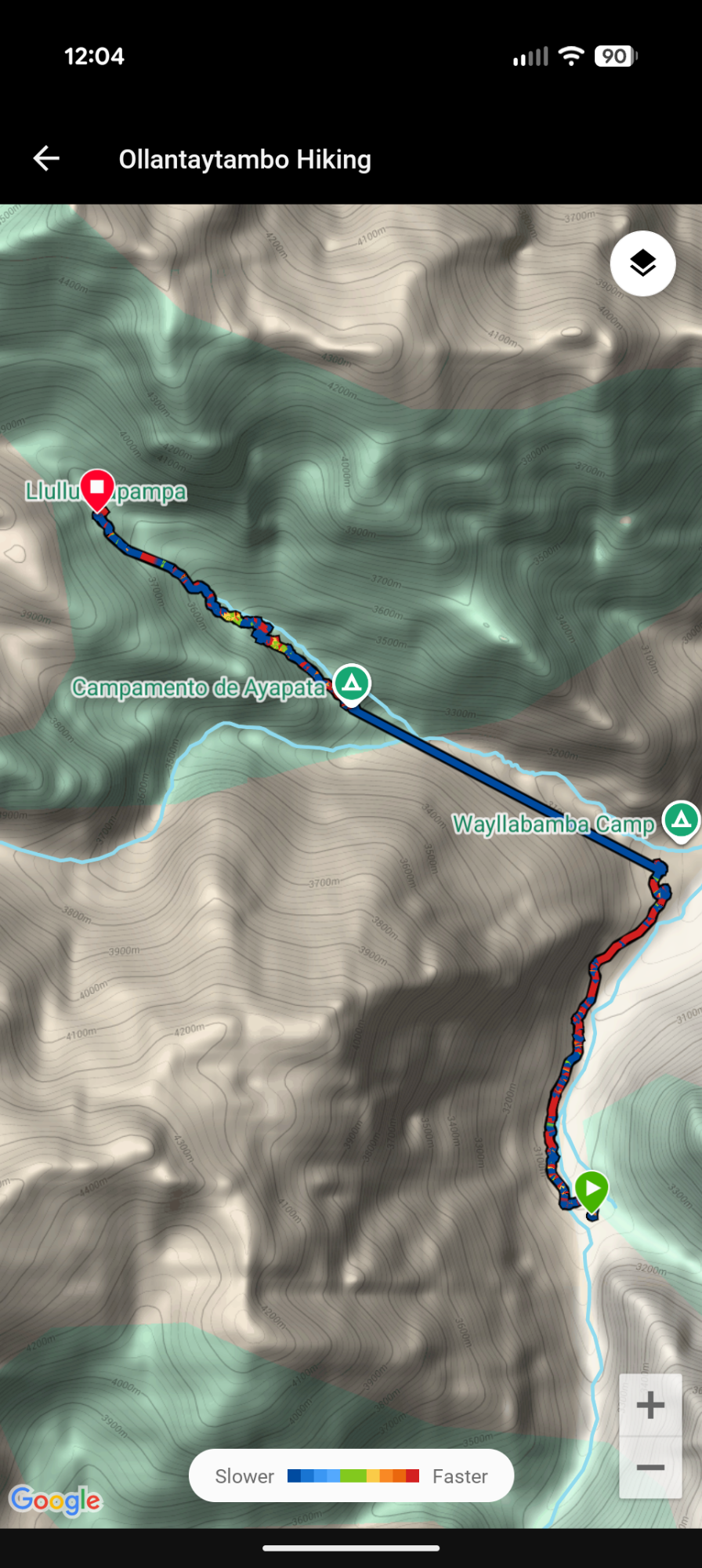
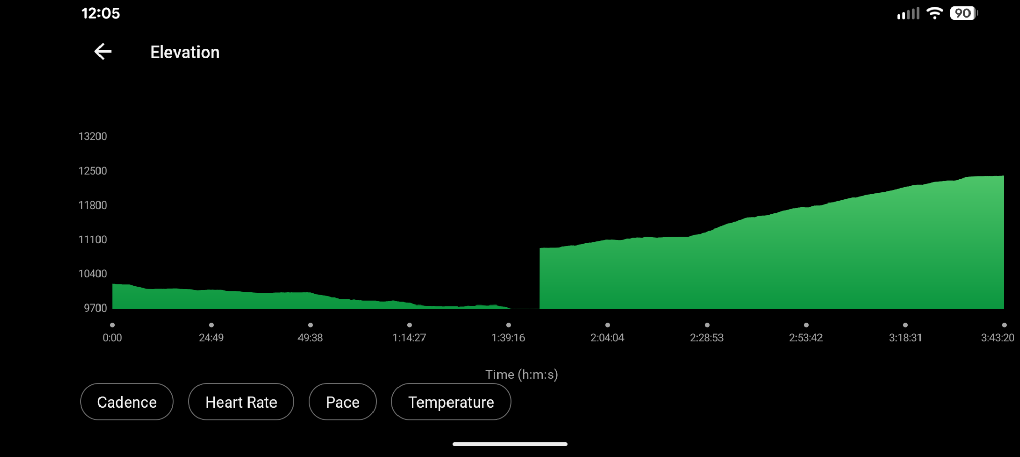
Start: Paucarcancha 10,270′ (3130m)
Via: Huayllabamba/Inca Trail 9,706′ (2958m)
Stop: Llulluchapampa 12,407′ (3781m)
~3.5 miles
2,701′ ascent
618′ descent
O2 88%
37% acclimated to 12,415′ and fully acclimated to 6233′
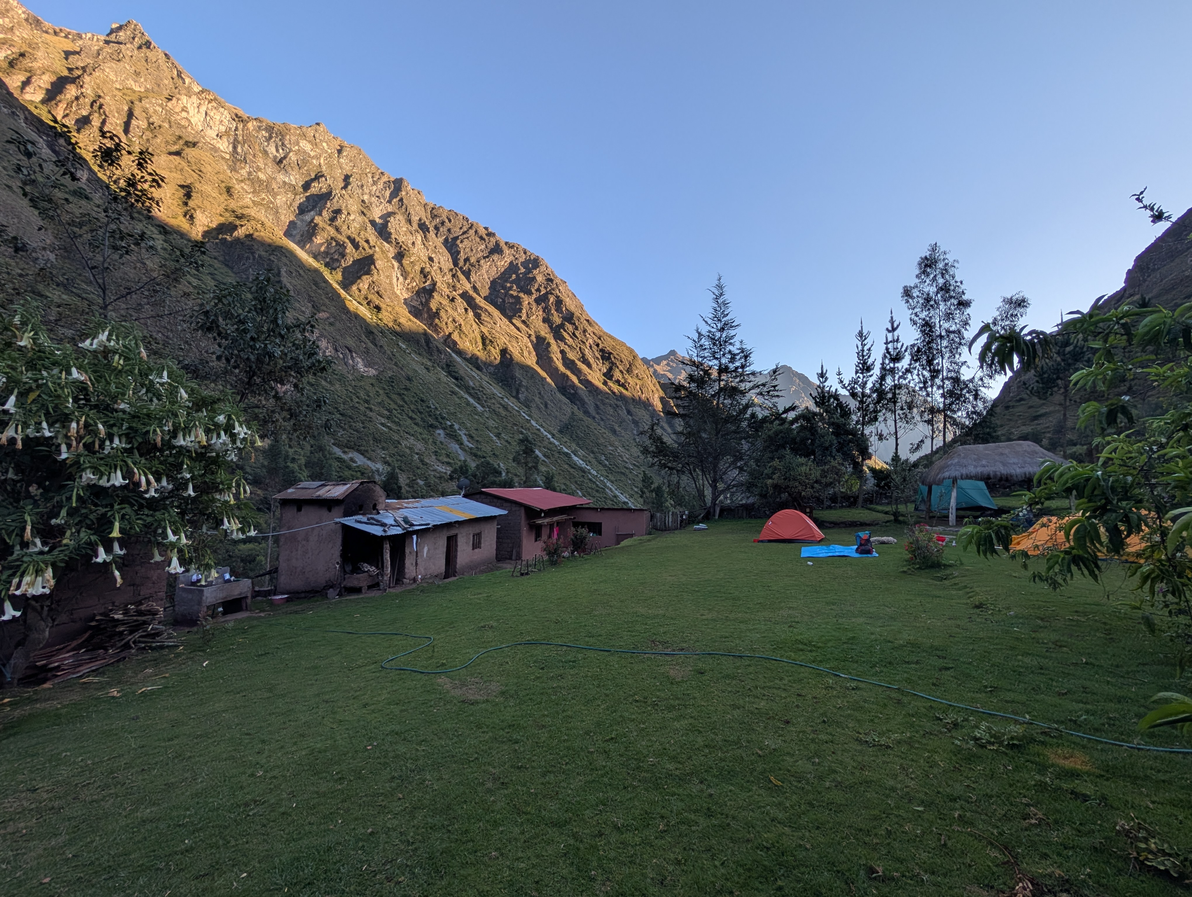
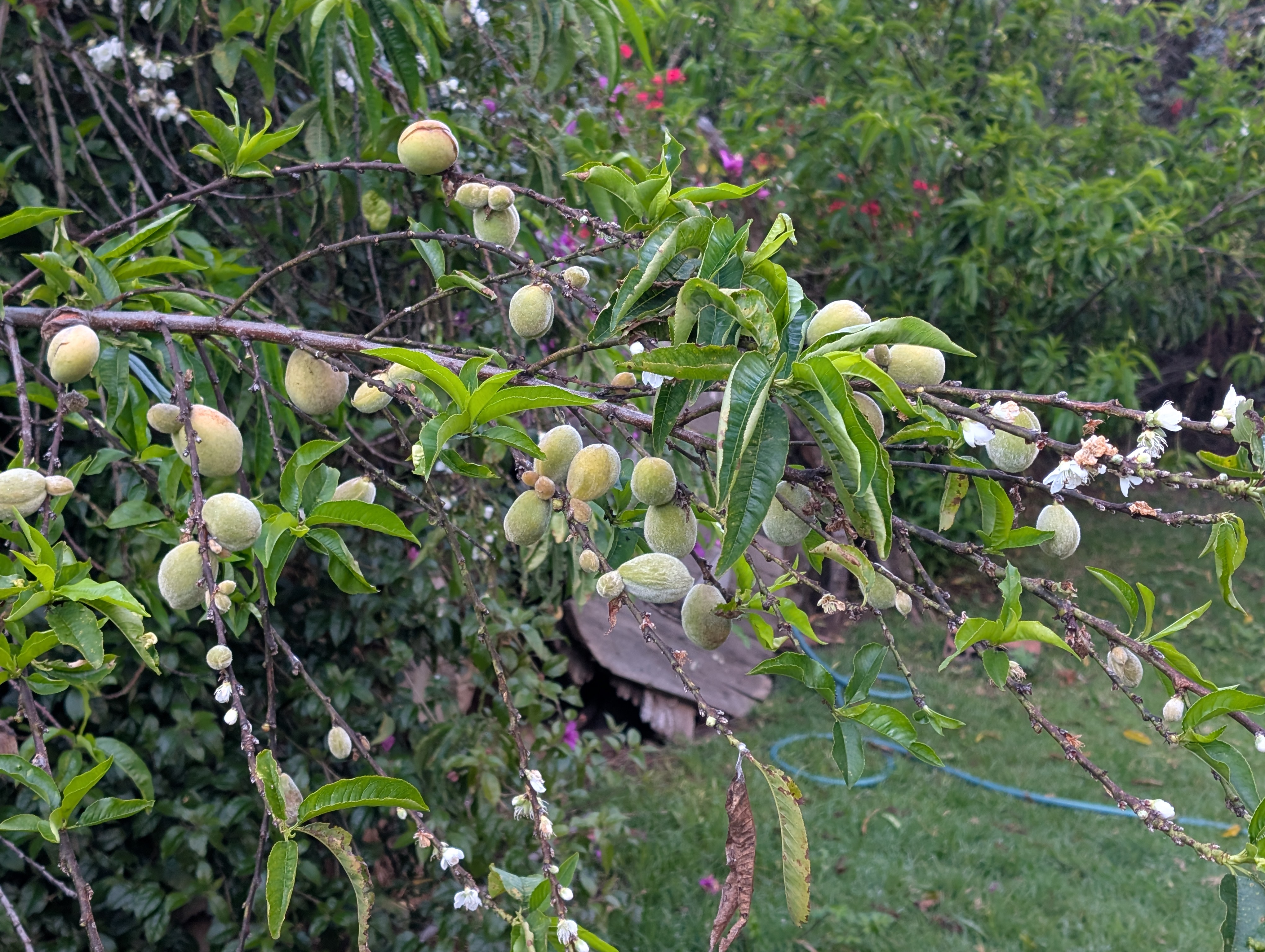
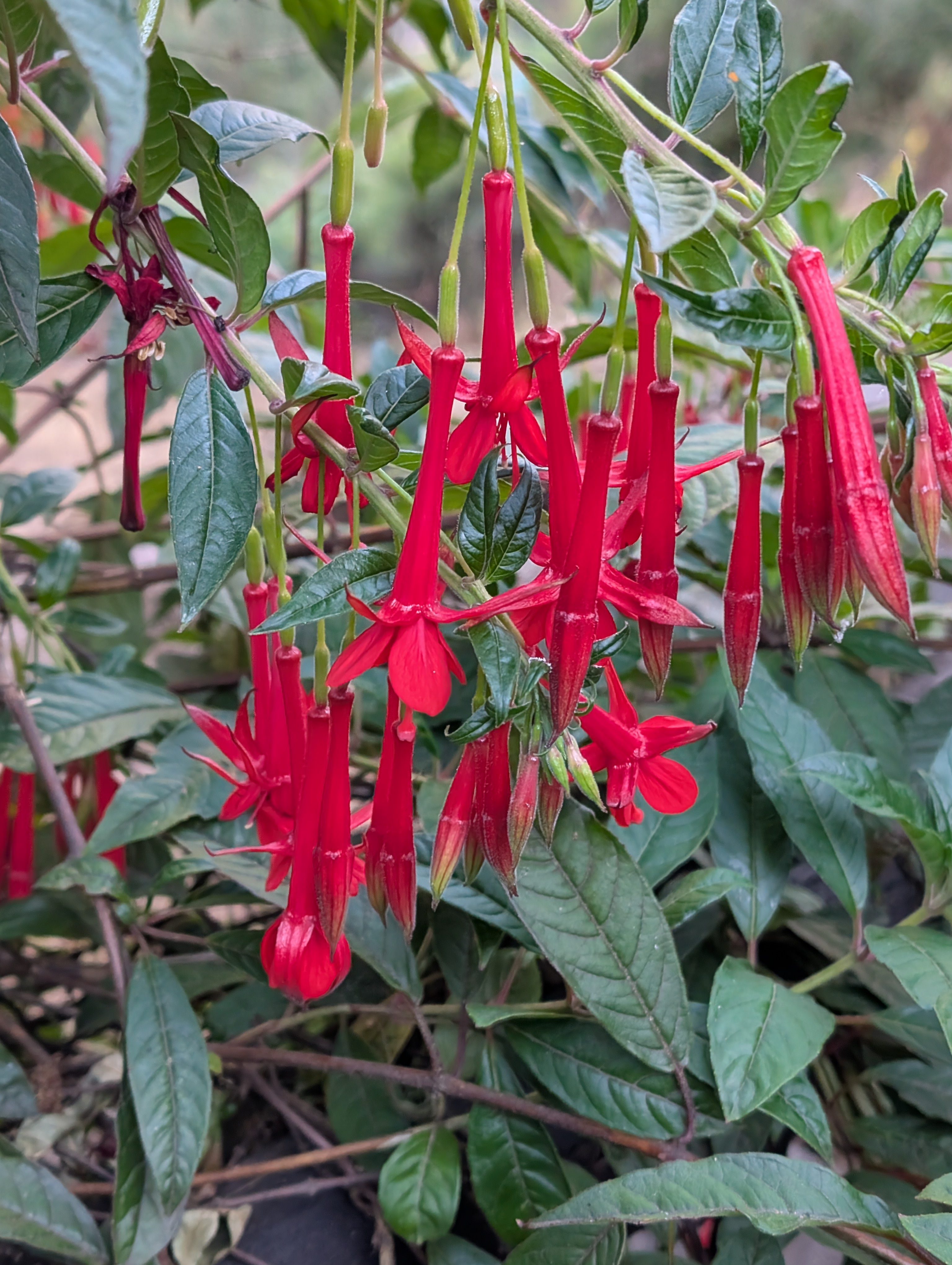
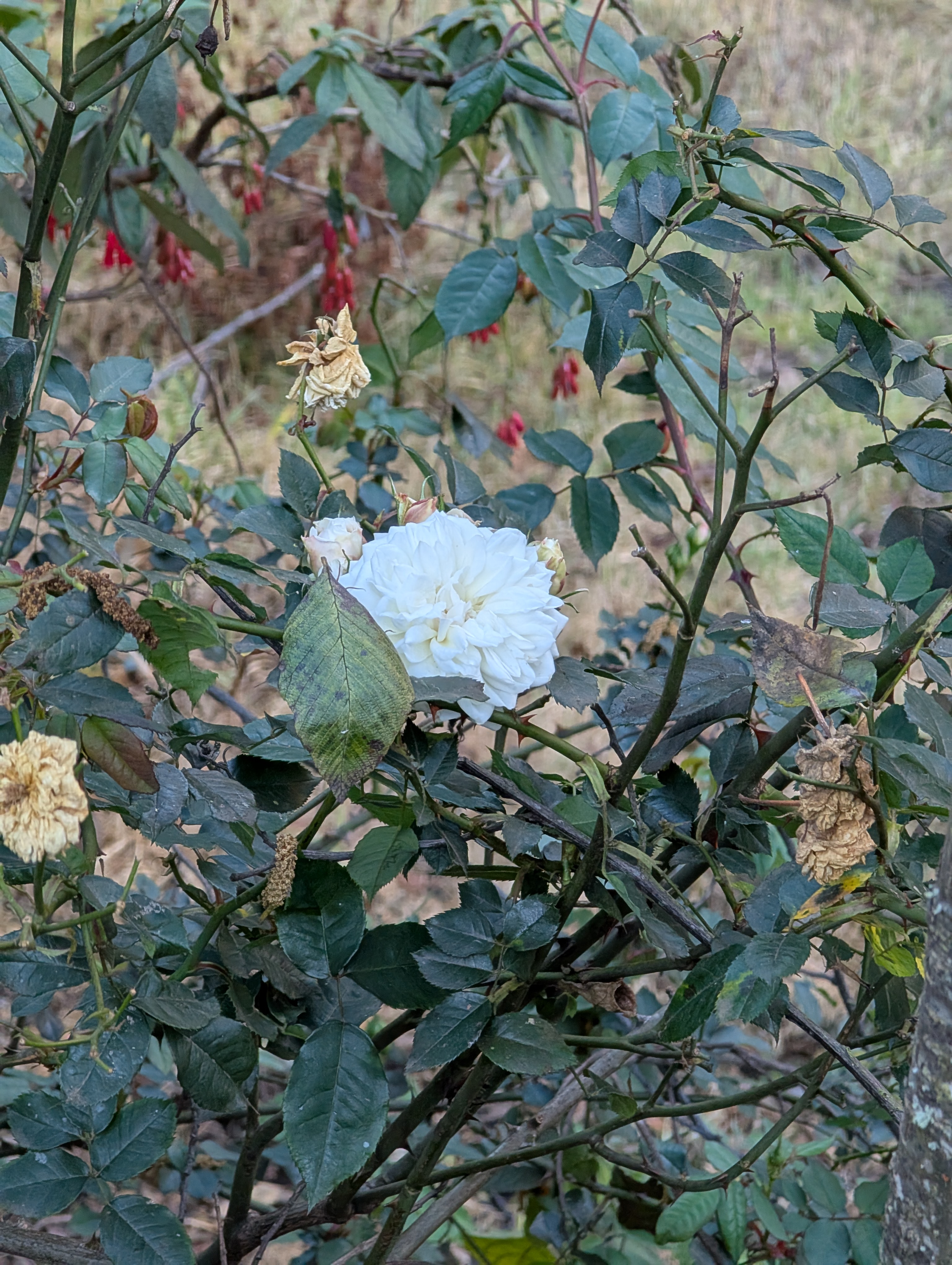
I sleep as well as possible and better than the night before. Our extra miles yesterday translate into a leisurely morning and I get to sleep in until 6 am. After my usual morning rituals, I extract myself from my tent and spend some time checking out all the flowers in the yard. Fuchsias, roses, bougainvillea and a bird pecking at the hull of an almond.


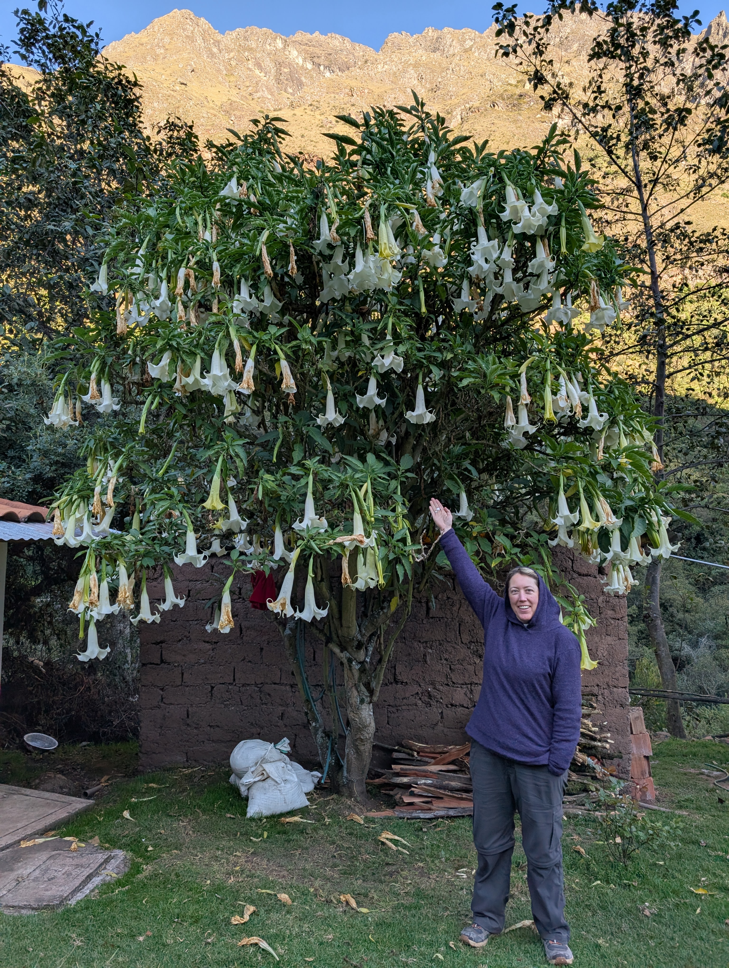
I’m obsessed with the giant Brugmansia arborea tree in the yard and must absolutely get my picture with it.


Breakfast is at 7 am, again in the utility room. Coca tea, coffee mixed with hot chocolate makes a mocha, quinoa pancakes, fried sweet potatoes, fruit plate with kiwi, pineapple, strawberry and more. Then Elizabeth and I head up to the Paucarcancha Inca ruins for a private tour.

Reminder, the below picture was our view of Paucarcancha as we approached late in the afternoon yesterday.

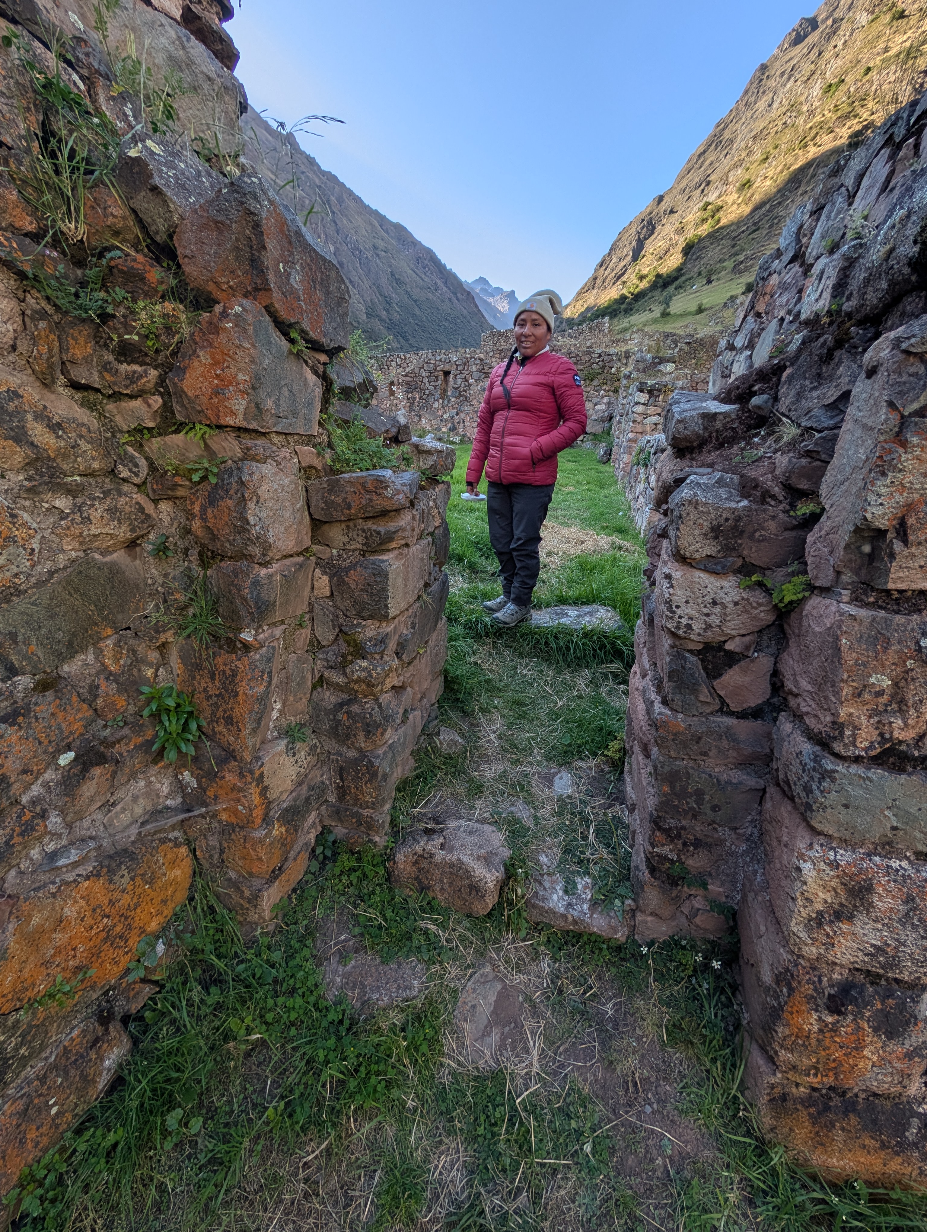
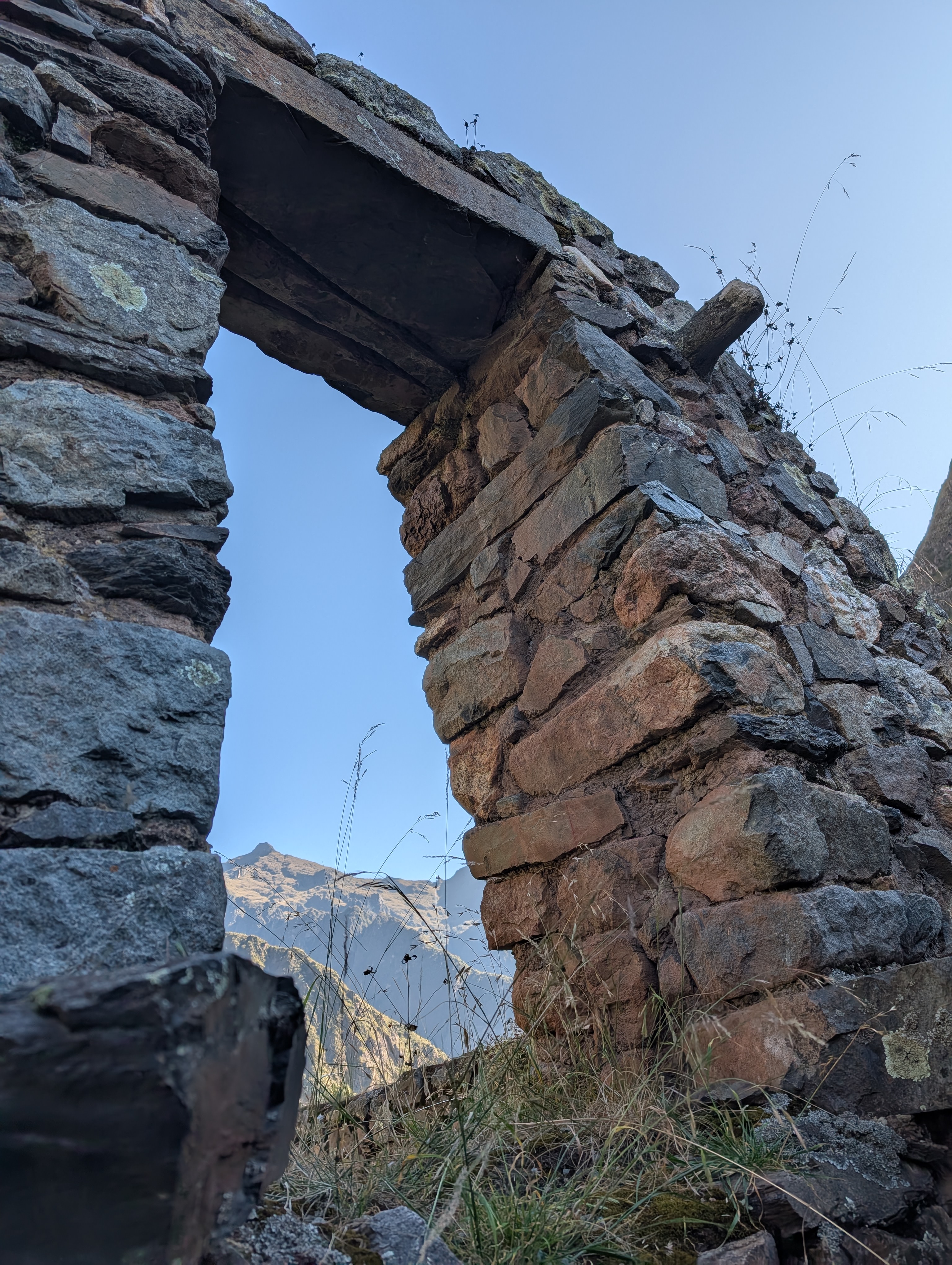
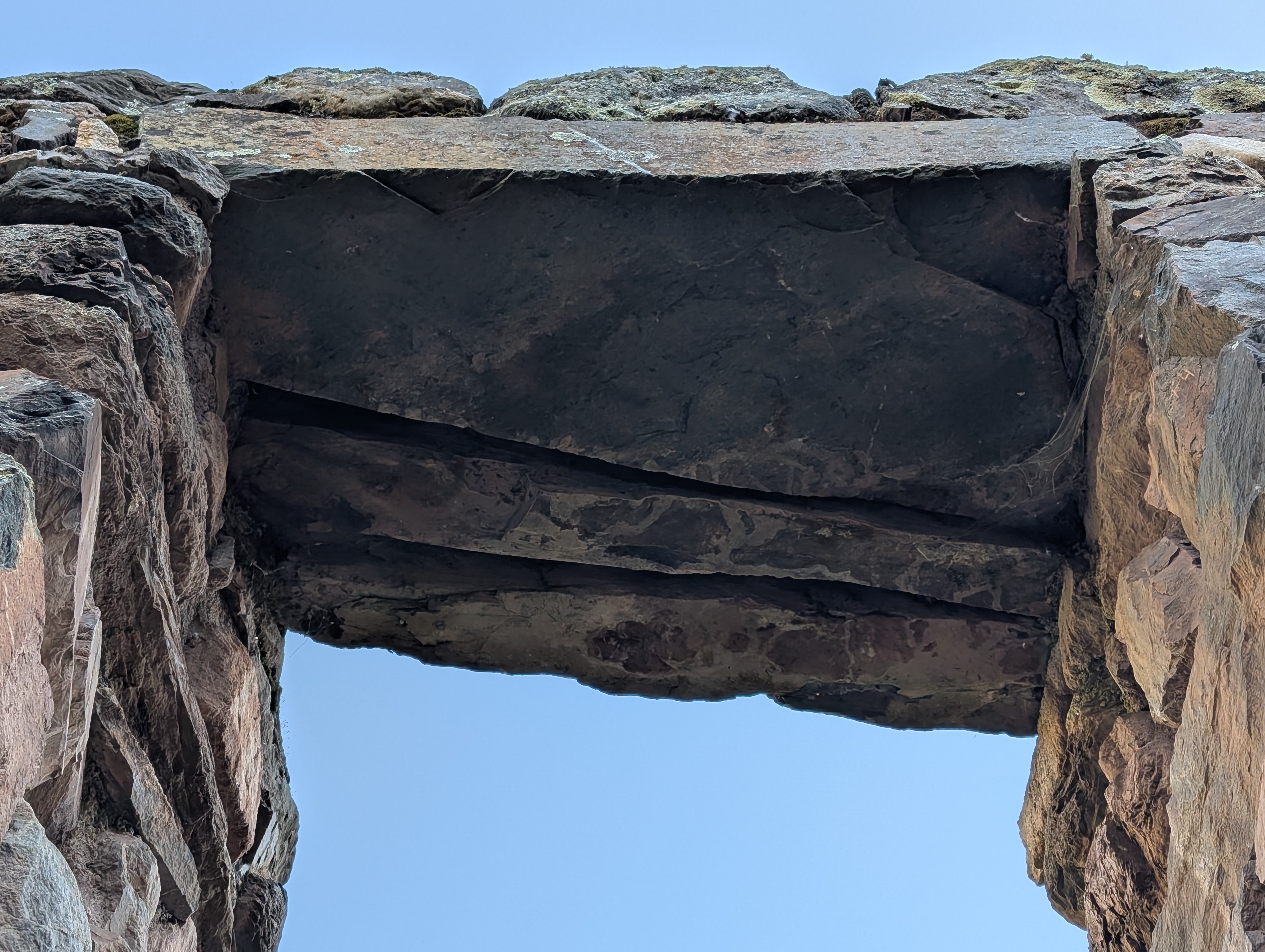
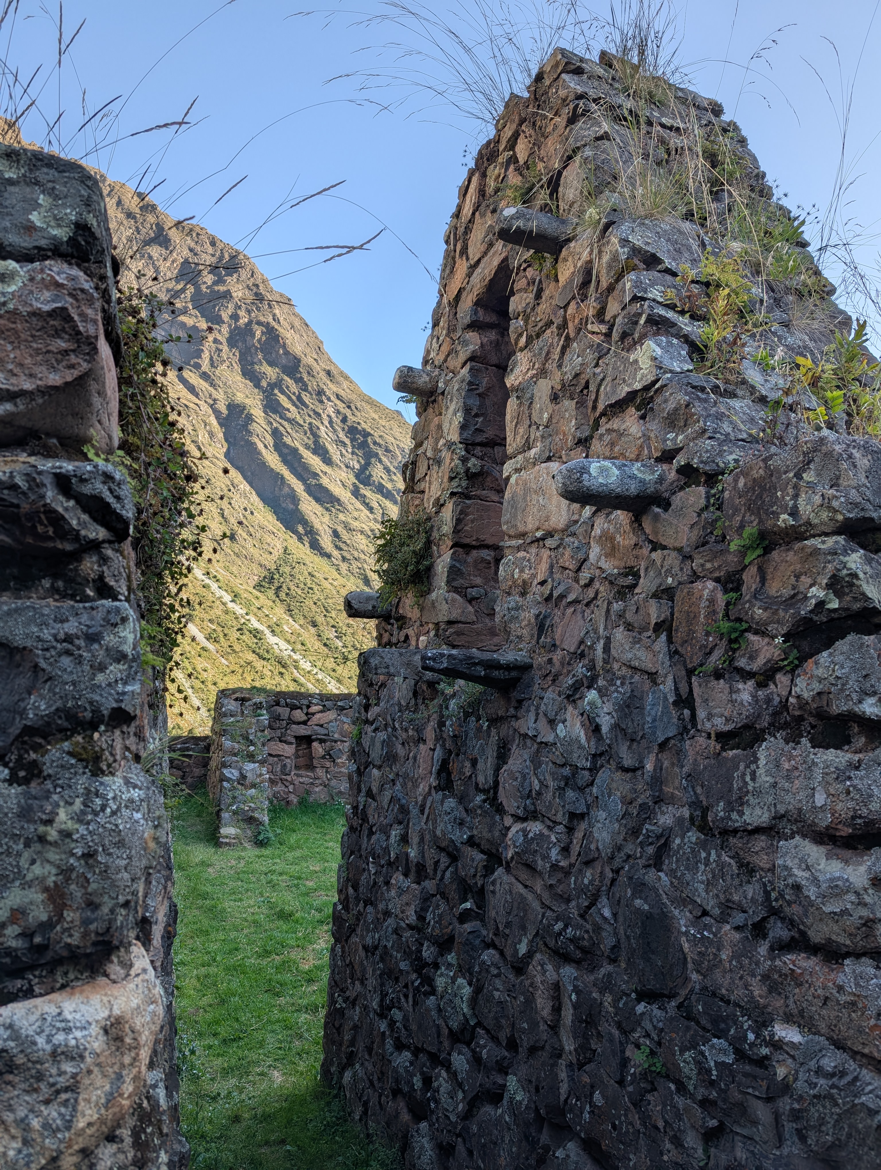
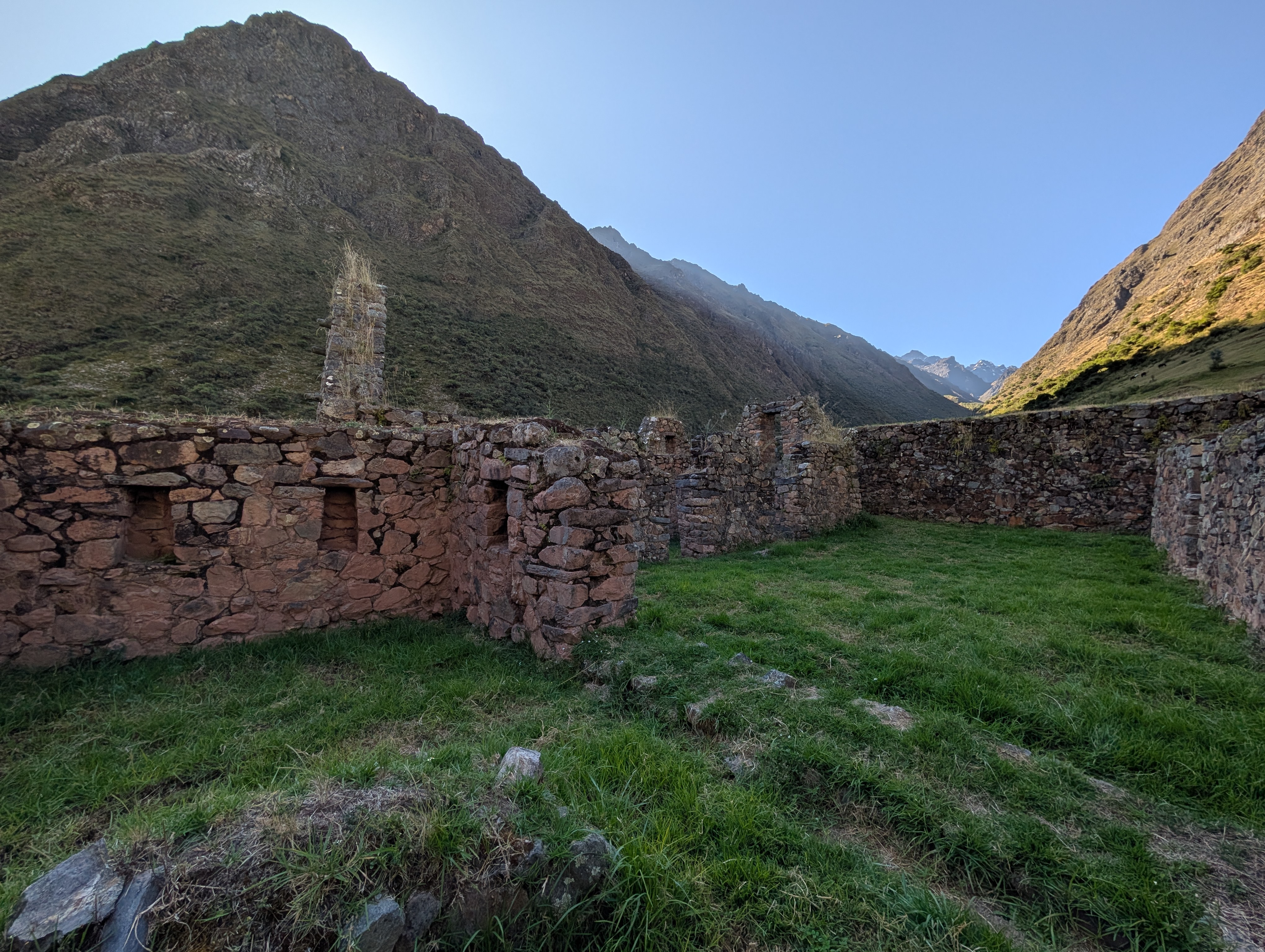
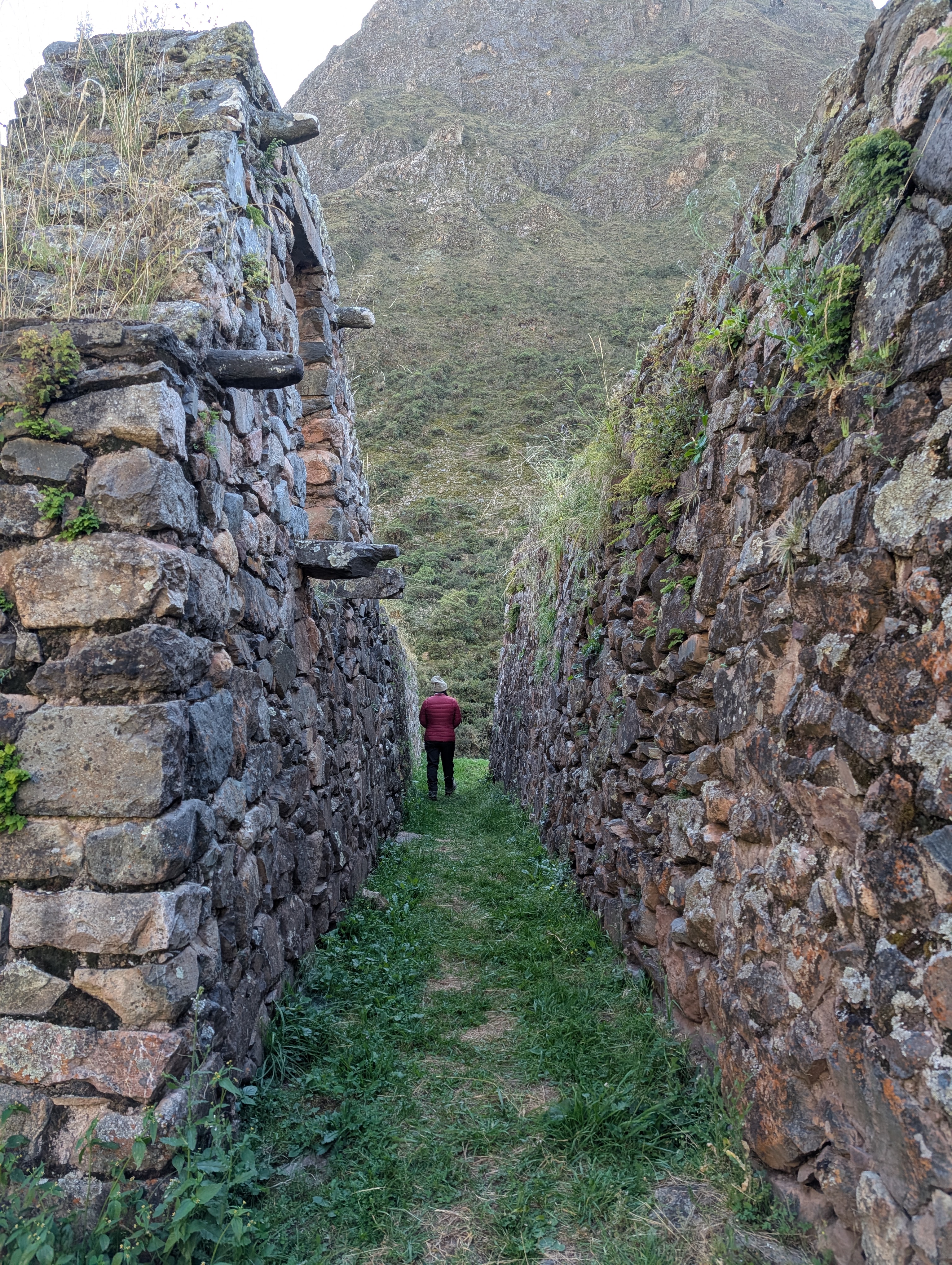
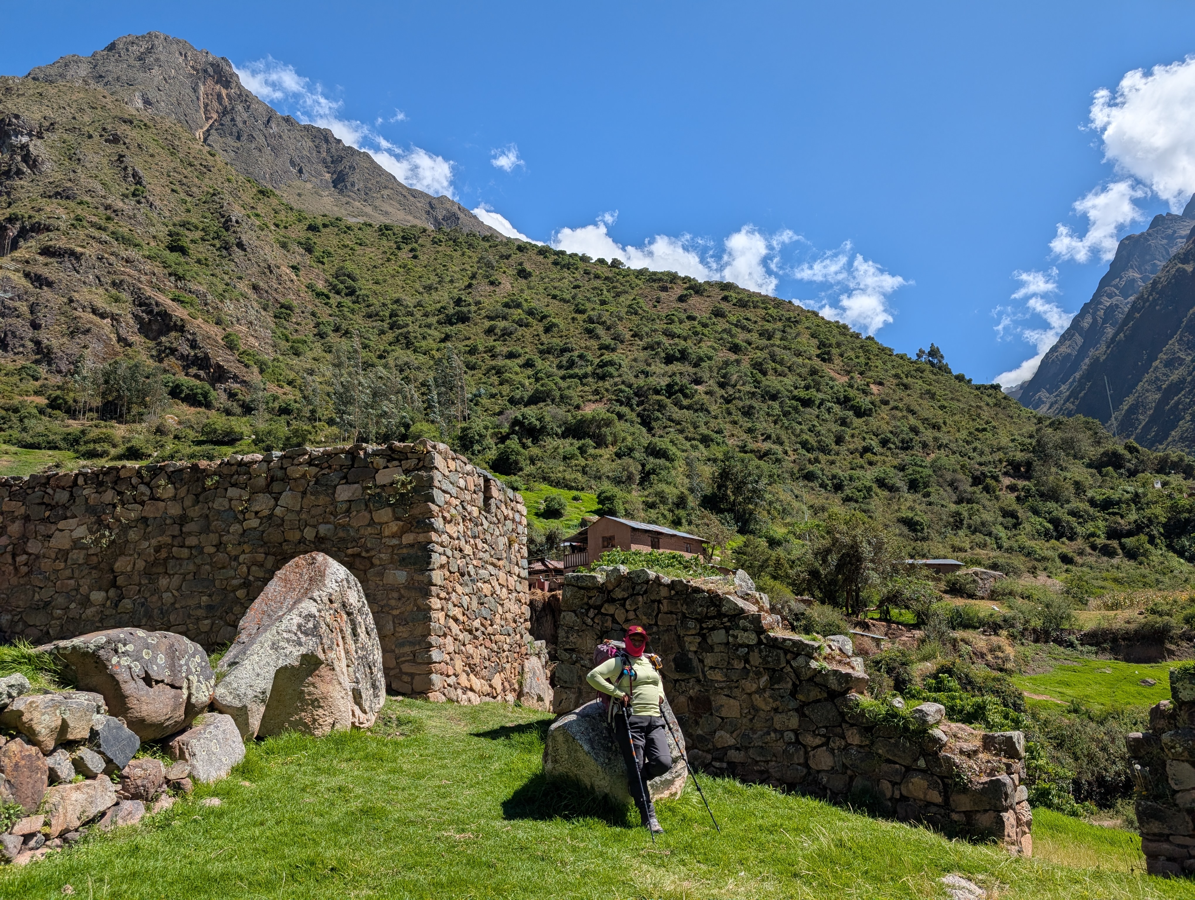
We hike up the stairs that connect the agricultural terraces and then follow a narrow pathway towards the main entrance. Elizabeth explains about the symbolic tiered entryway stonework that is used to signify a religious entry point. Paucarcancha was a small Inca citadel which served as a ceremonial and administrative center. This is a lesser-known ruins site which means that Elizabeth and I have it all to ourselves as the sun slowly creeps into the valley.


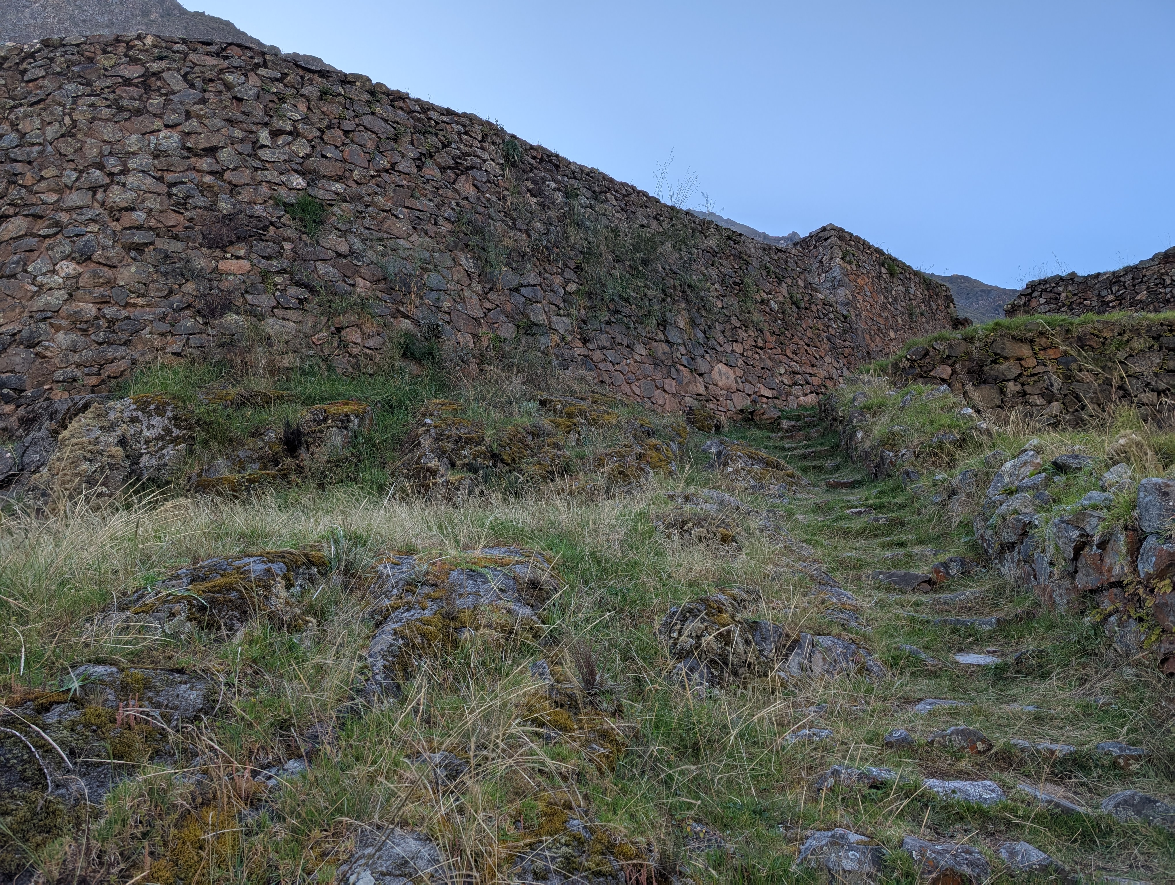

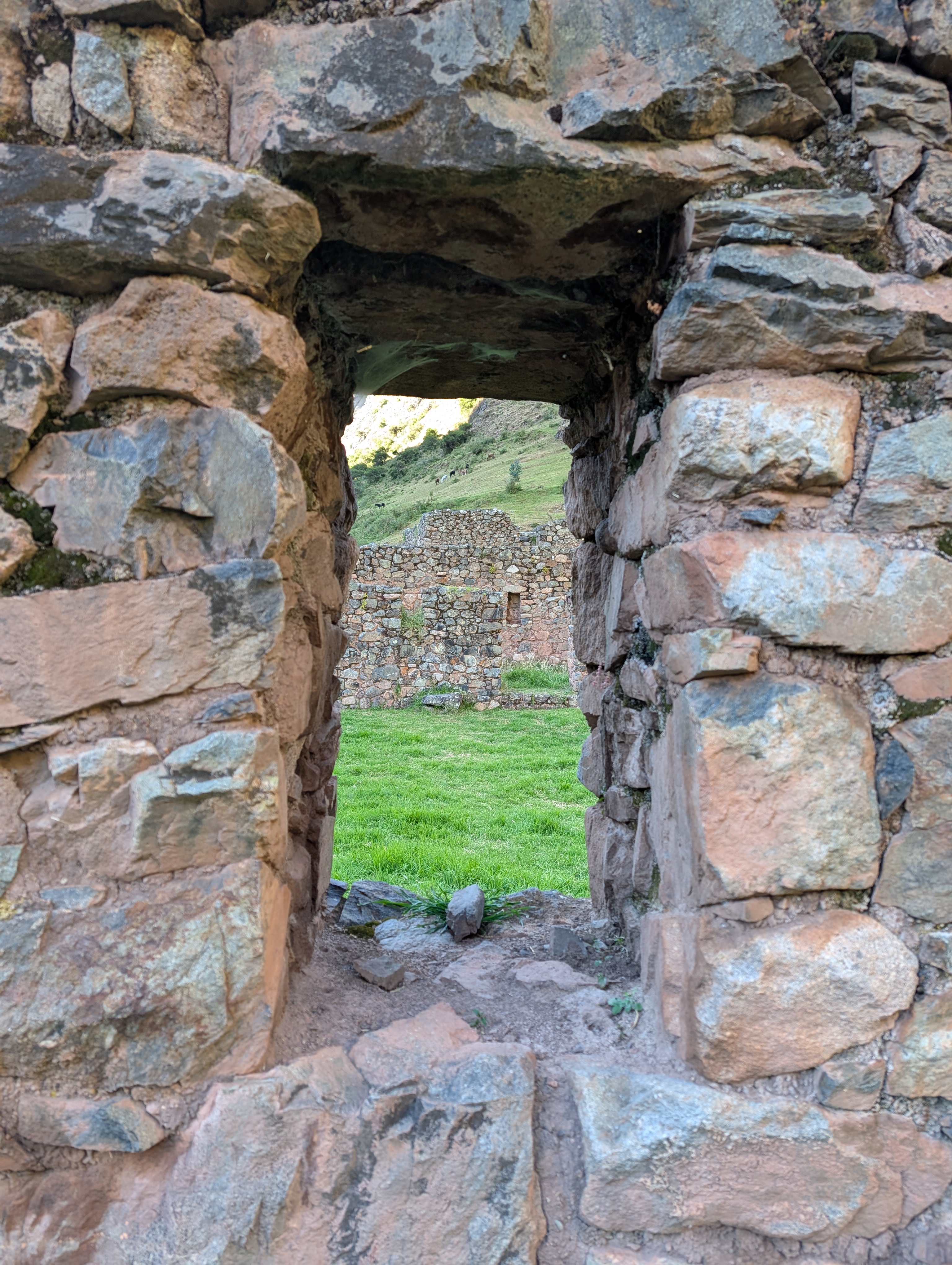
There seem to be several large patio areas. The architectural patterns of sloping walls, trapezoidal doors, and window niches, which are similar to Machupicchu, are indicative of housing. Paucarcancha is also considered to be a watchtower because it is perched high at the junction of Pampacahuana and Cusichaca Canyons.


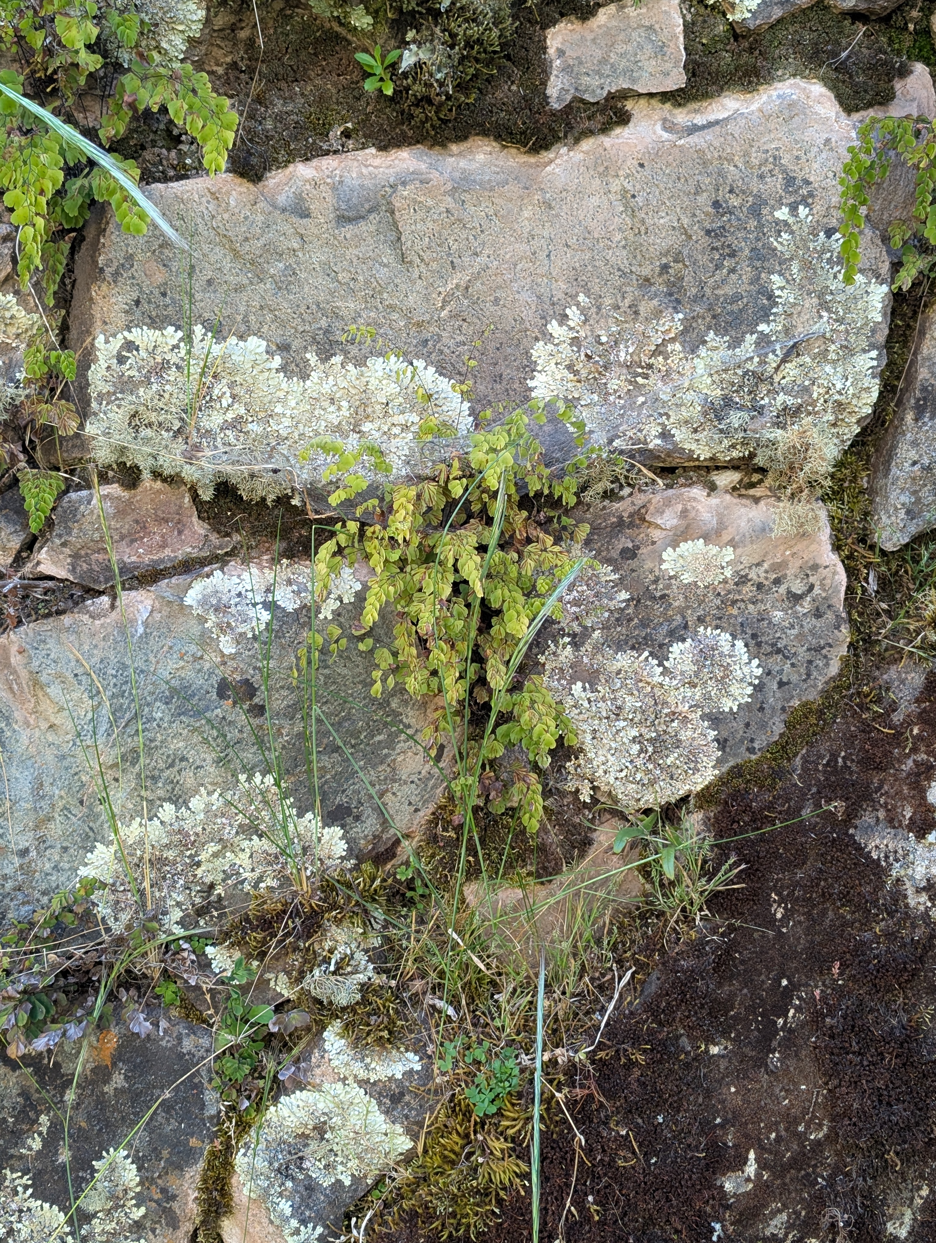
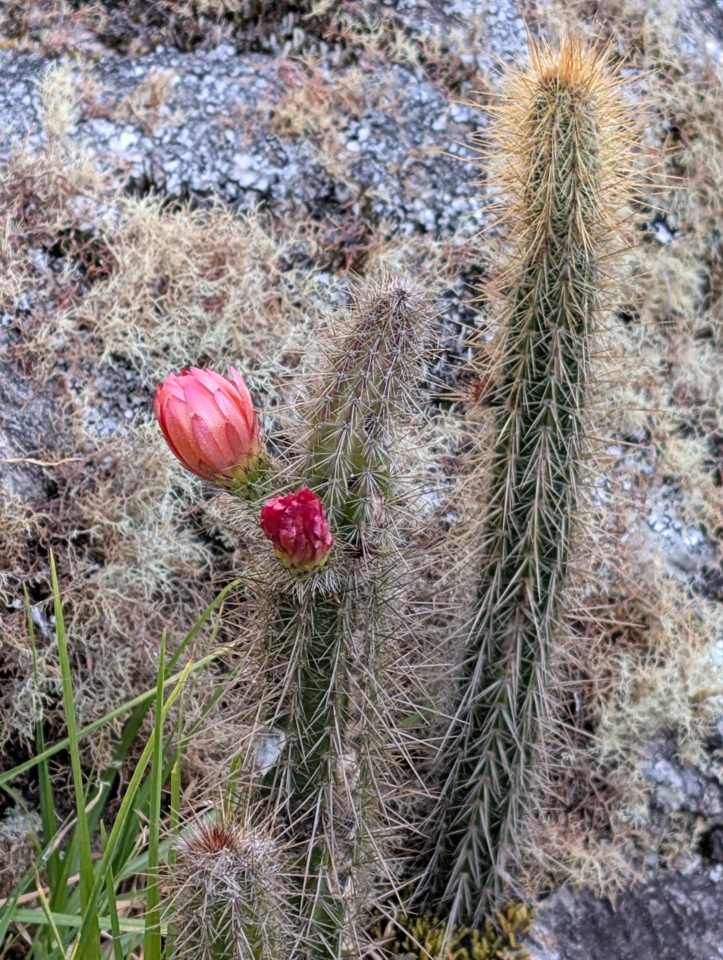
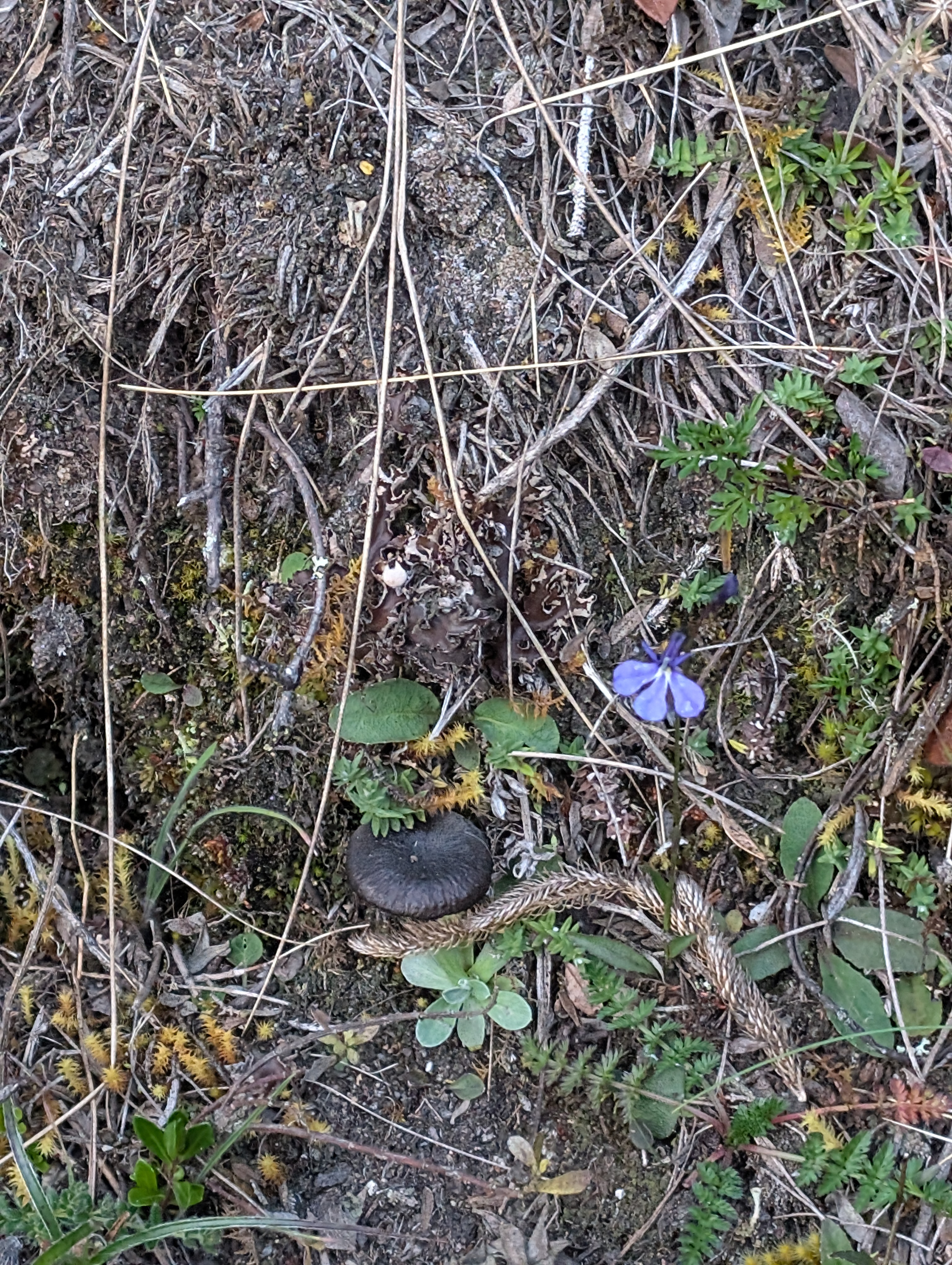
Above: Adiantum fern and several lichens, Arrojadoa cactus
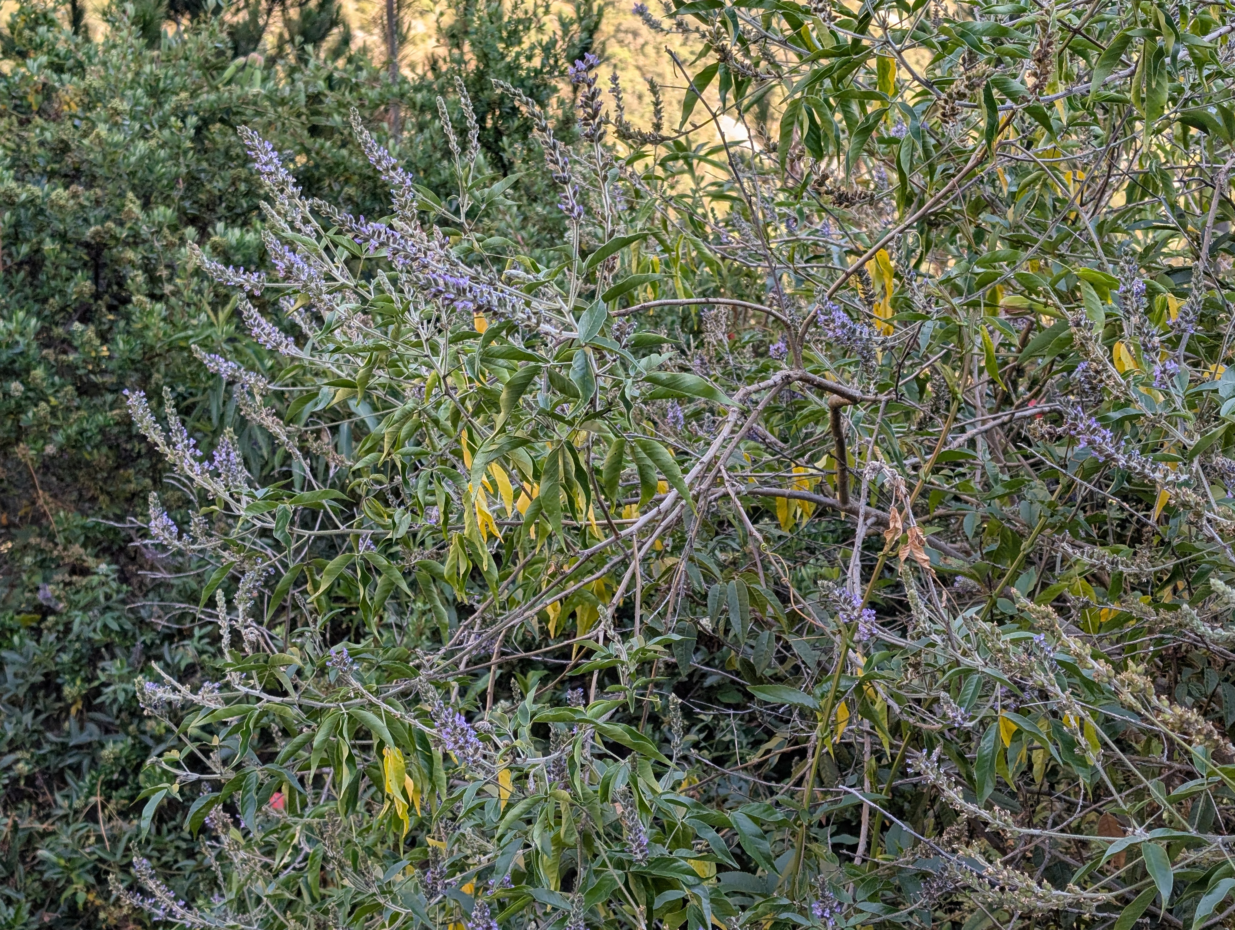
Below: high altitude succulent growing with lichens and moss. Possible chaste tree?
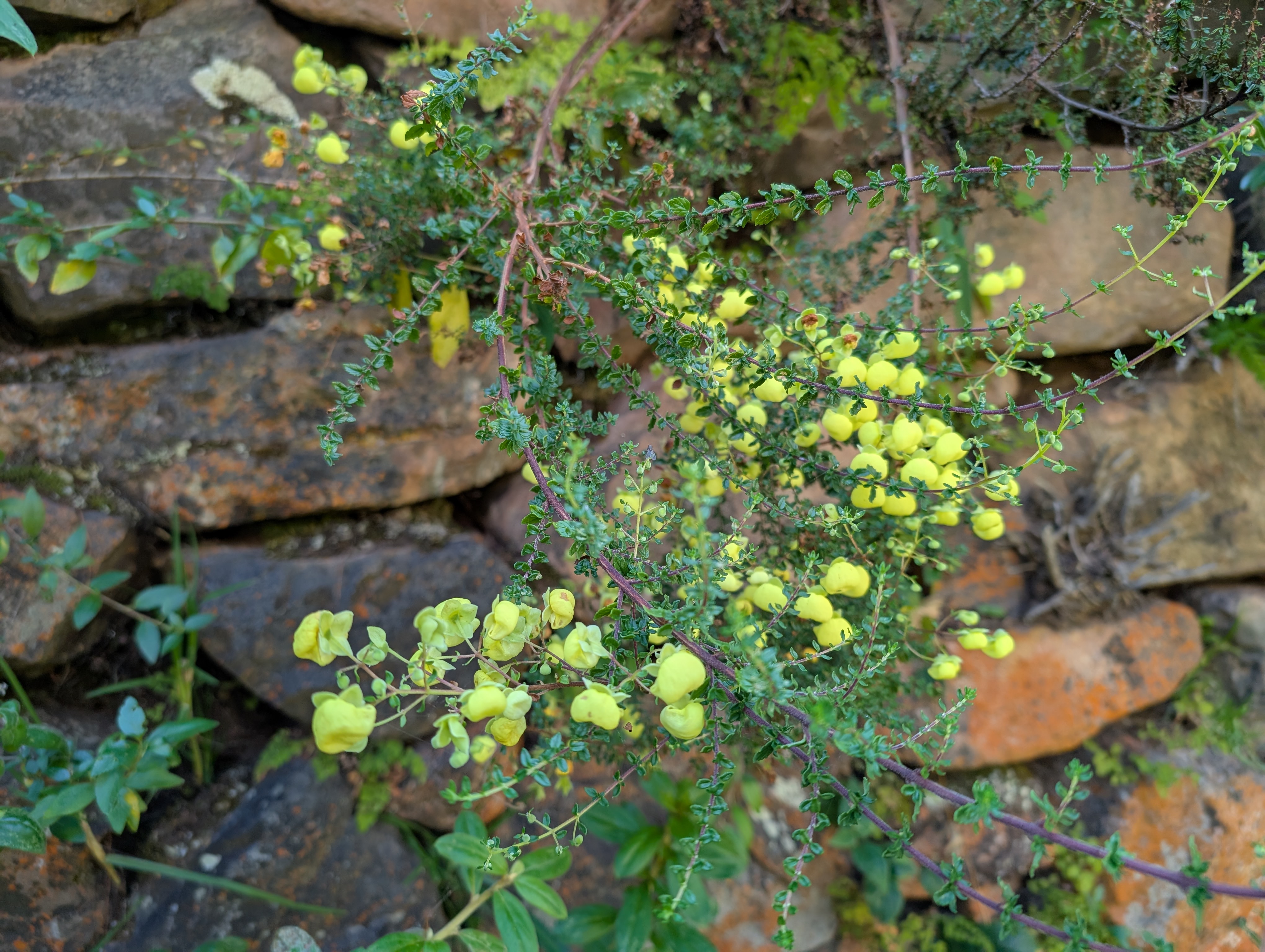
Below: Calceolaria and the introduced Genista french broom


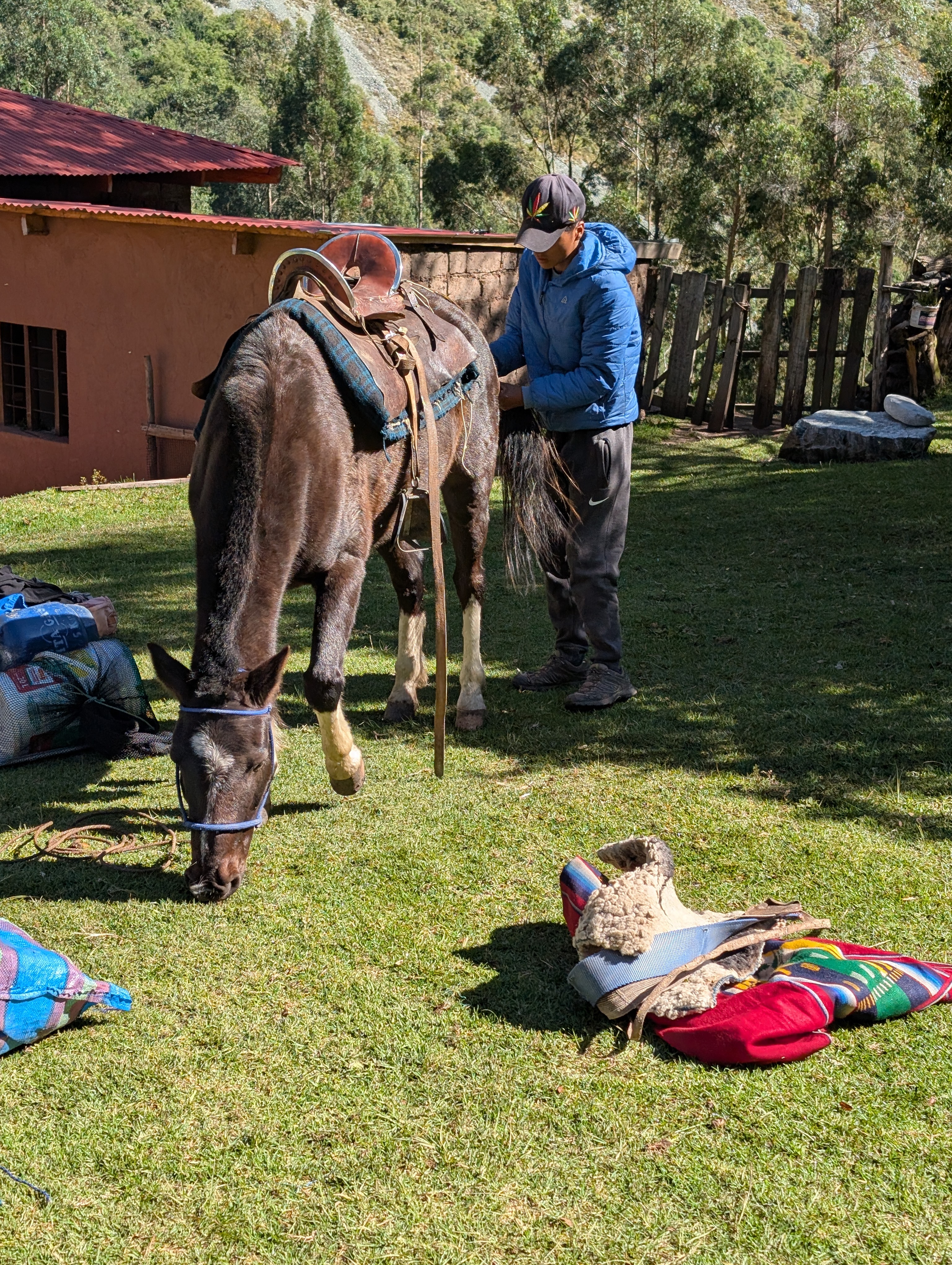
By 9:20 am we’re back down to the home where we camped and Oscar is packing up one horse. Sadly, it is time to say goodbye to Oscar and his horses because horses are not allowed on the Inca Trail. There’s something very sweet about Oscar so it’s hard to say goodbye to him and his crew. With tears in my eyes, I give him a tip before he loads up one horse. Oscar will deliver some of our gear farther down the canyon to Huayllabamba, where we will have lunch before officially joining the Inca Trail.

Elizabeth recommends I put on some bug spray but I don’t have any with me. Elizabeth and I depart by 9:50 and work our way across a terrace with gates before turning down towards the river. I suddenly notice that I have a few spots of blood on my left hand. Elizabeth tells me that I’ve been bitten by the small black flies that were buzzing. They don’t hurt but Elizabeth says they will not feel good later on. Well damn.
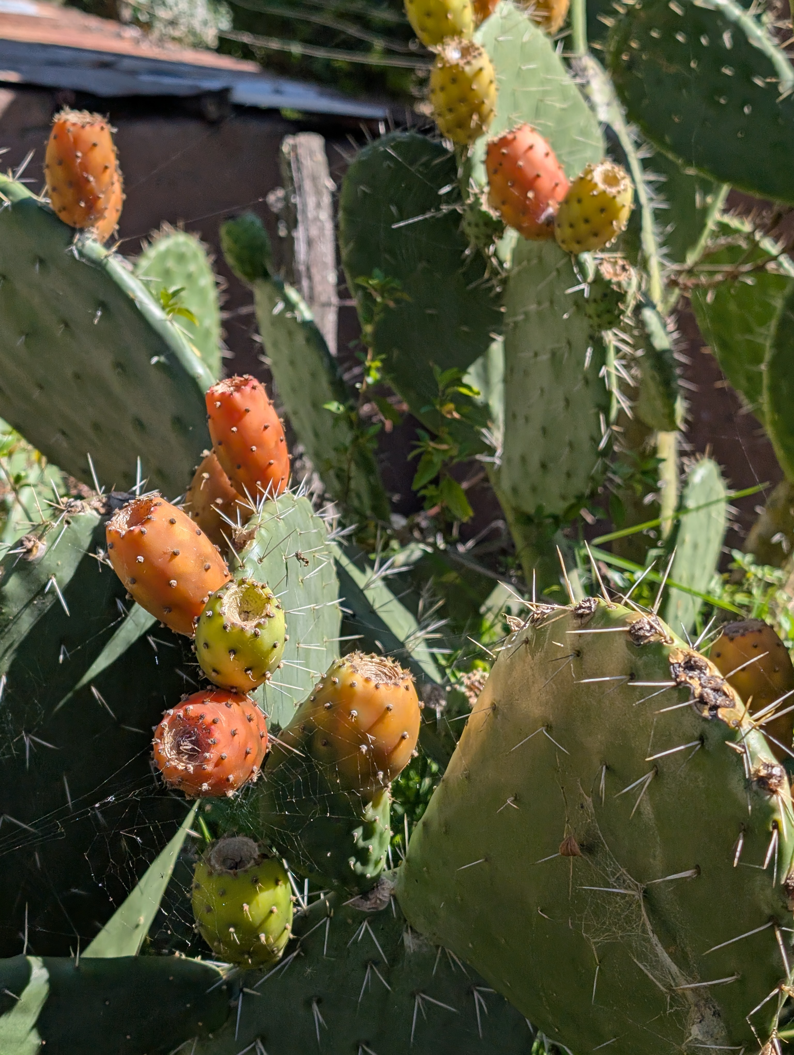

We pass large prickly pear cacti before crossing over the Cusichaca River. I turn for one last look uphill at the towering Paucarcancha Ruins. We haven’t hiked but five minutes and immediately come to a checkpoint. I have to stop, take off my backpack and dig out my passport. We’re soon on our way again and headed down the jungle flower parade.


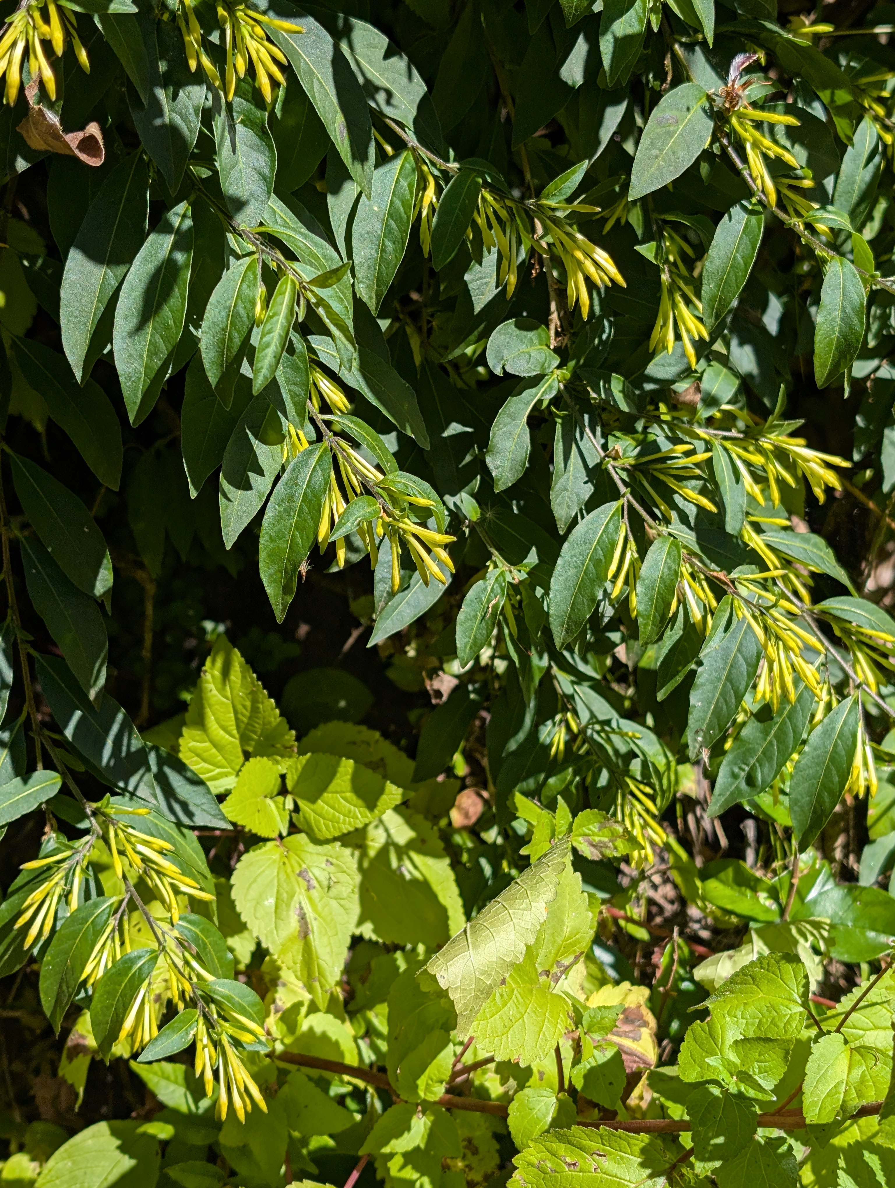
Above: Cestrum parqui or green cestrum getting ready to bloom.
Below: Peperomia, farming terraces across the valley – see if you can find the farmer
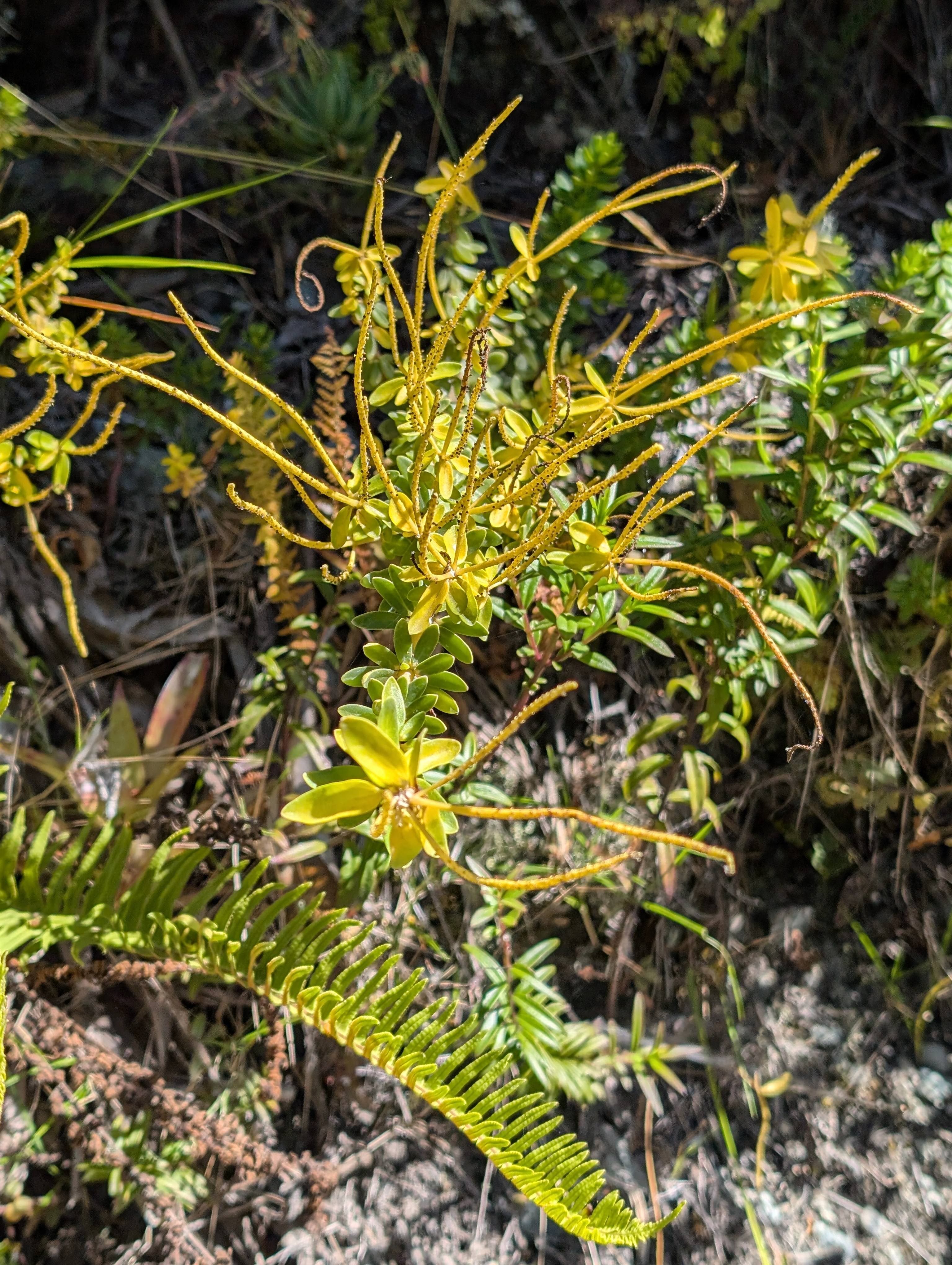

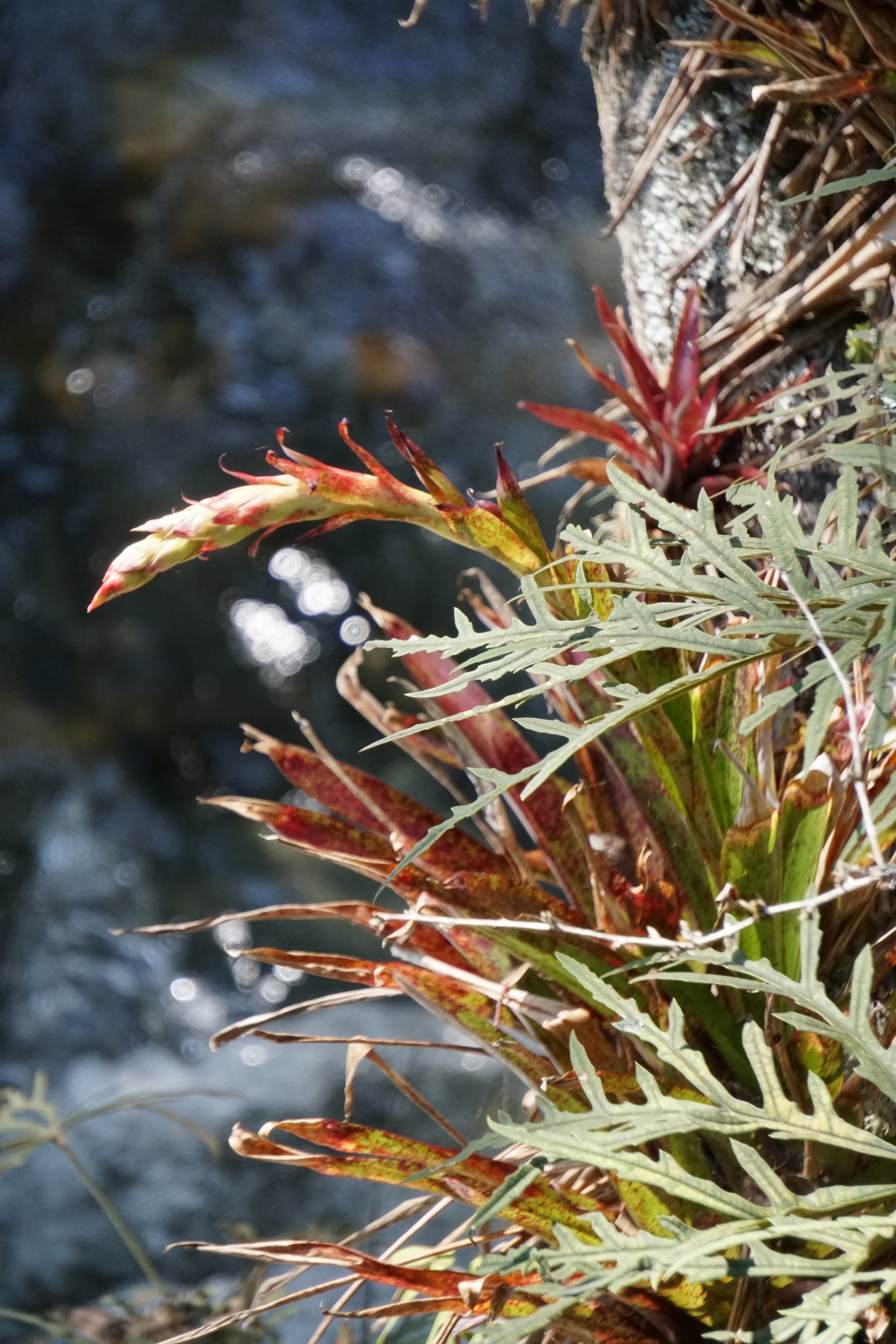
Above: Bromeliad that might be a Tillandsia
Below: looking down the canyon towards Huayllabamba and the junction with the Inca Trail, some kind of runner bean


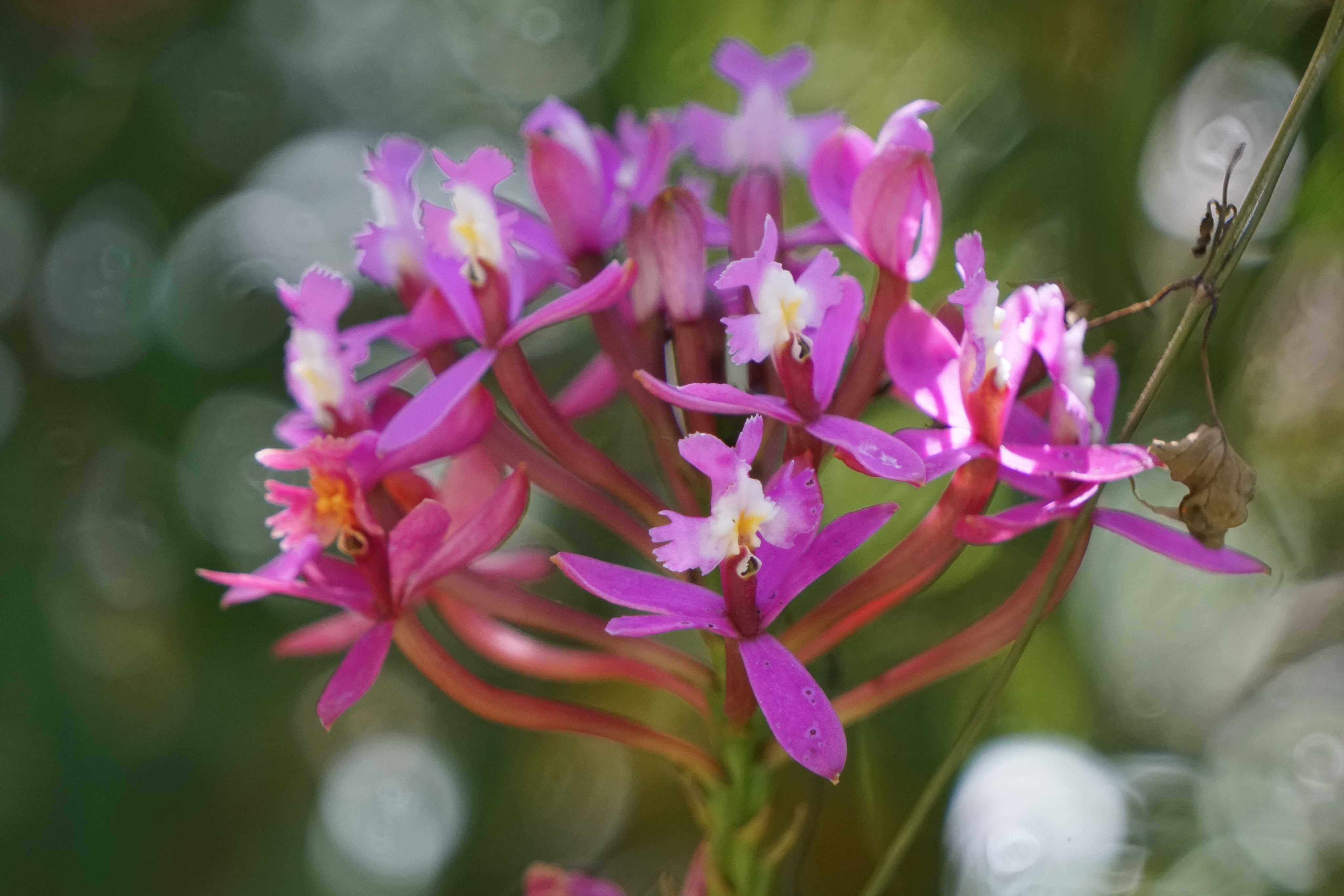
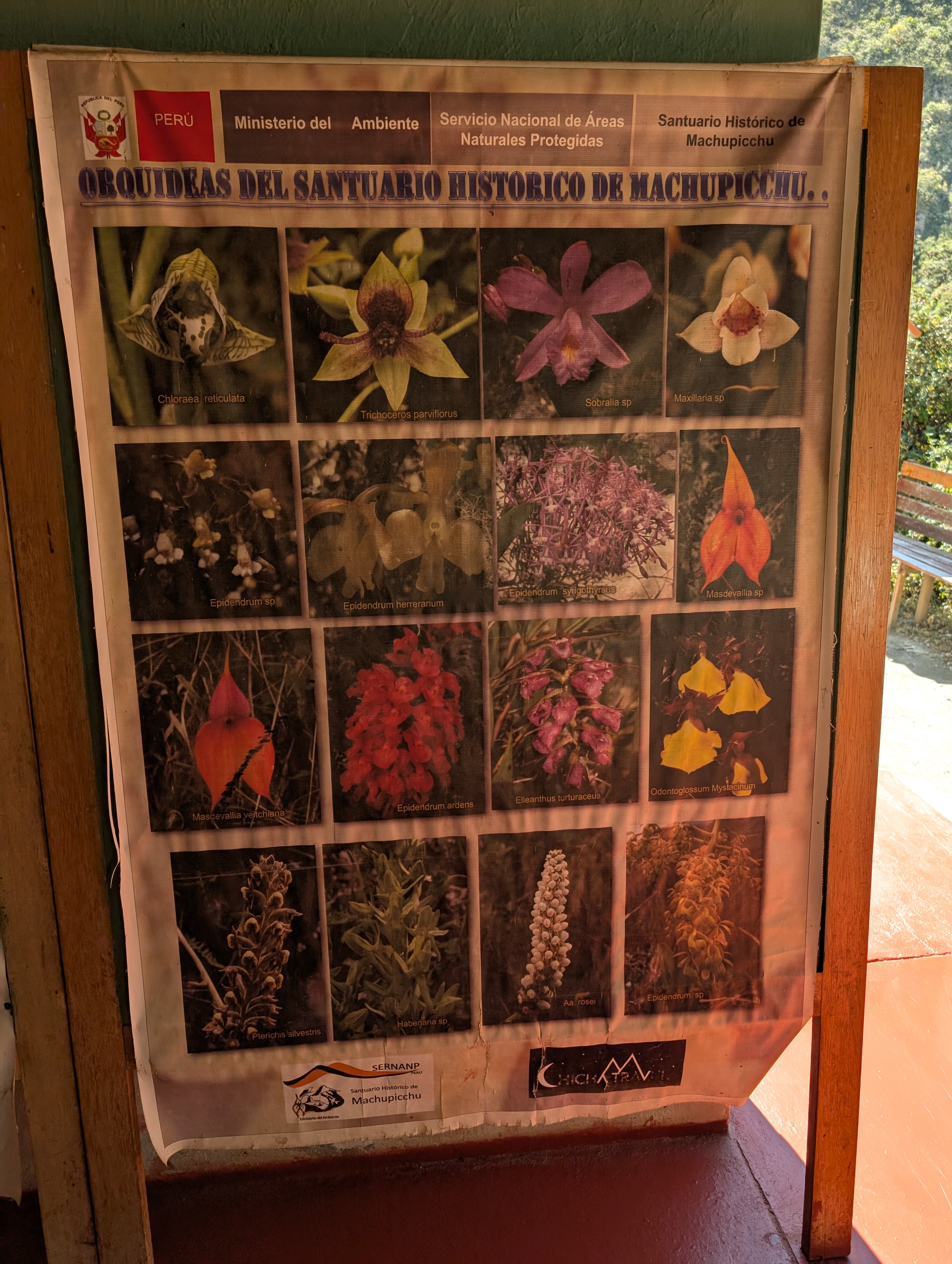
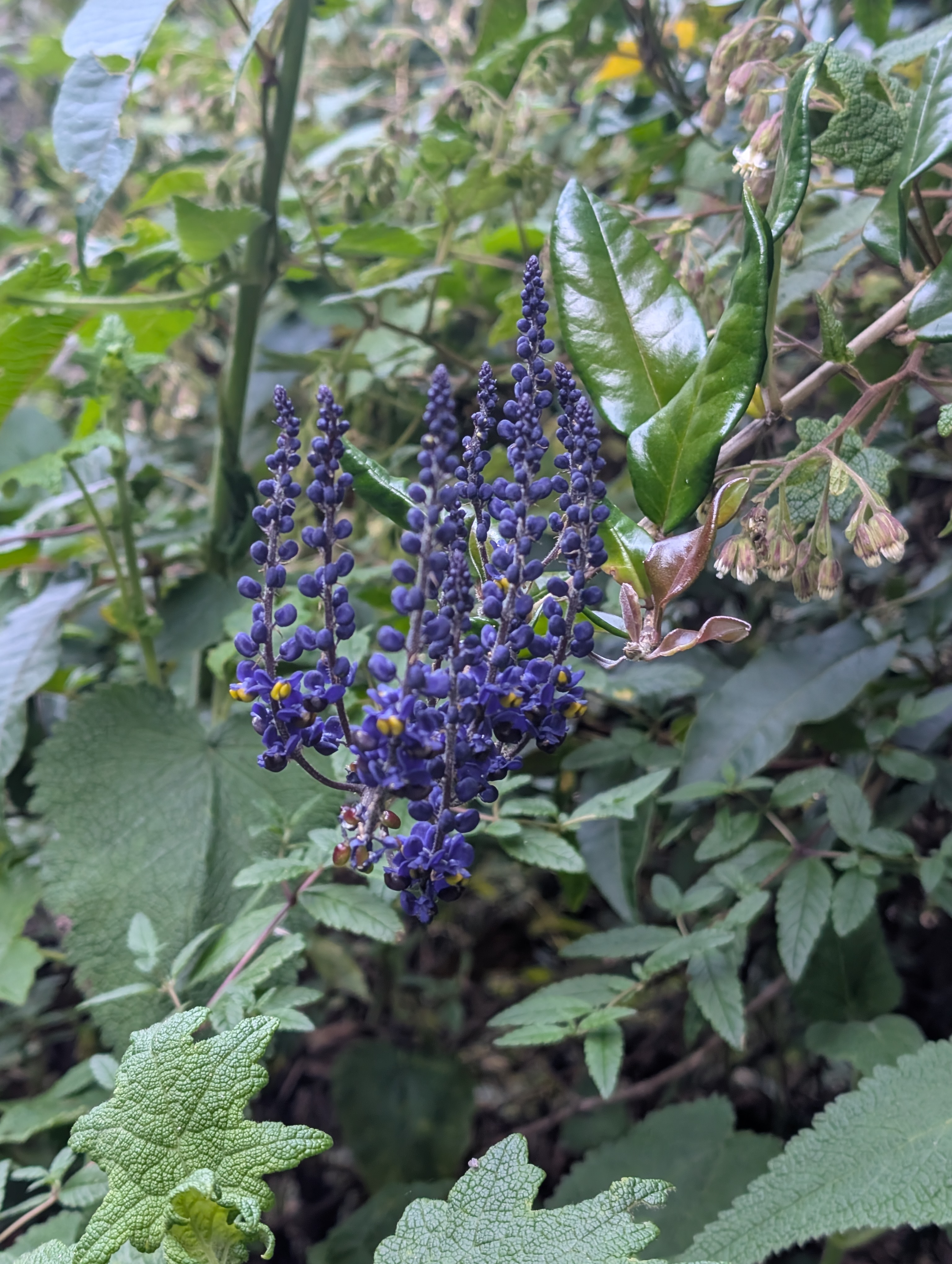
Above: Epidendrum secundum, known as the “Wiñay Wayna” or “Forever Young” orchid, is a common and widespread orchid in the Andean cloud forest.
Below: Trimezia or similar orchid, green Cestrum starting to open up.


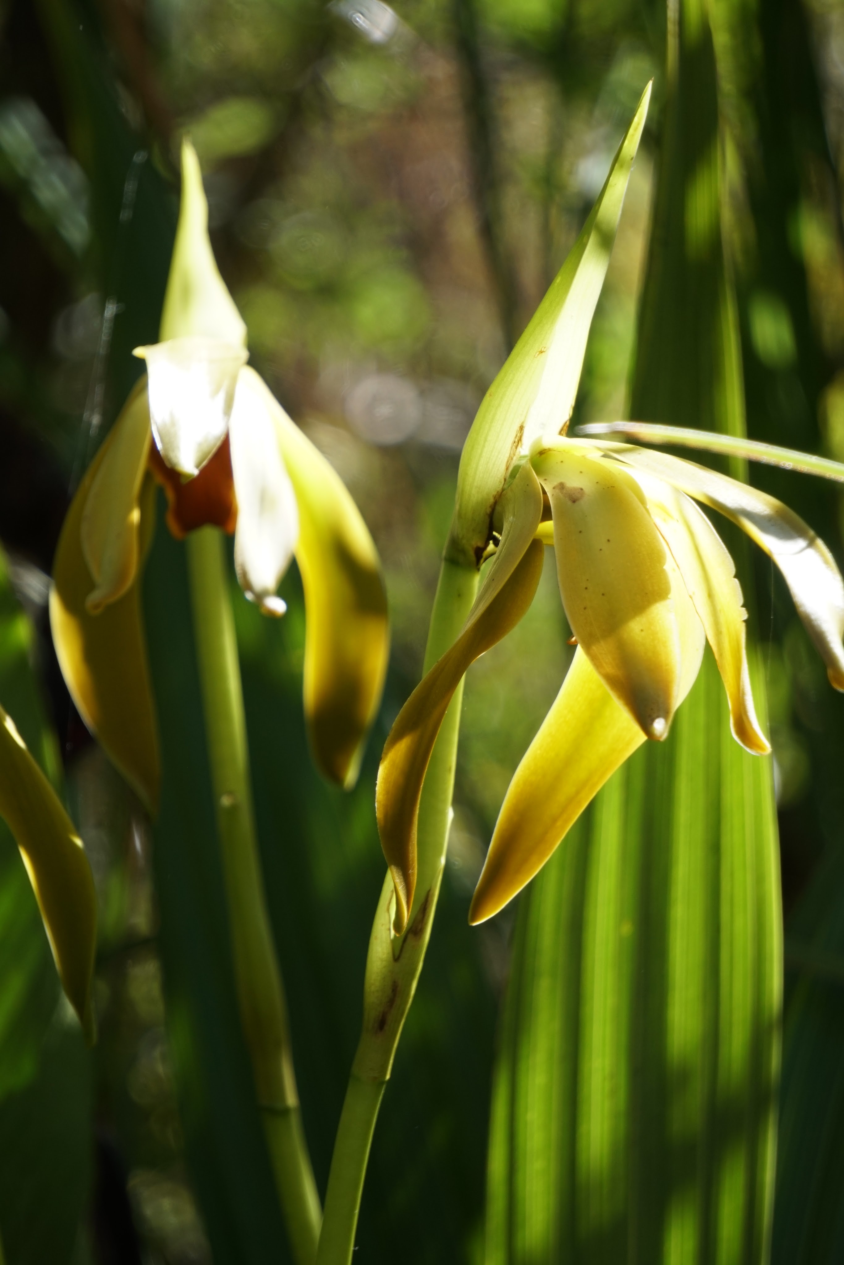
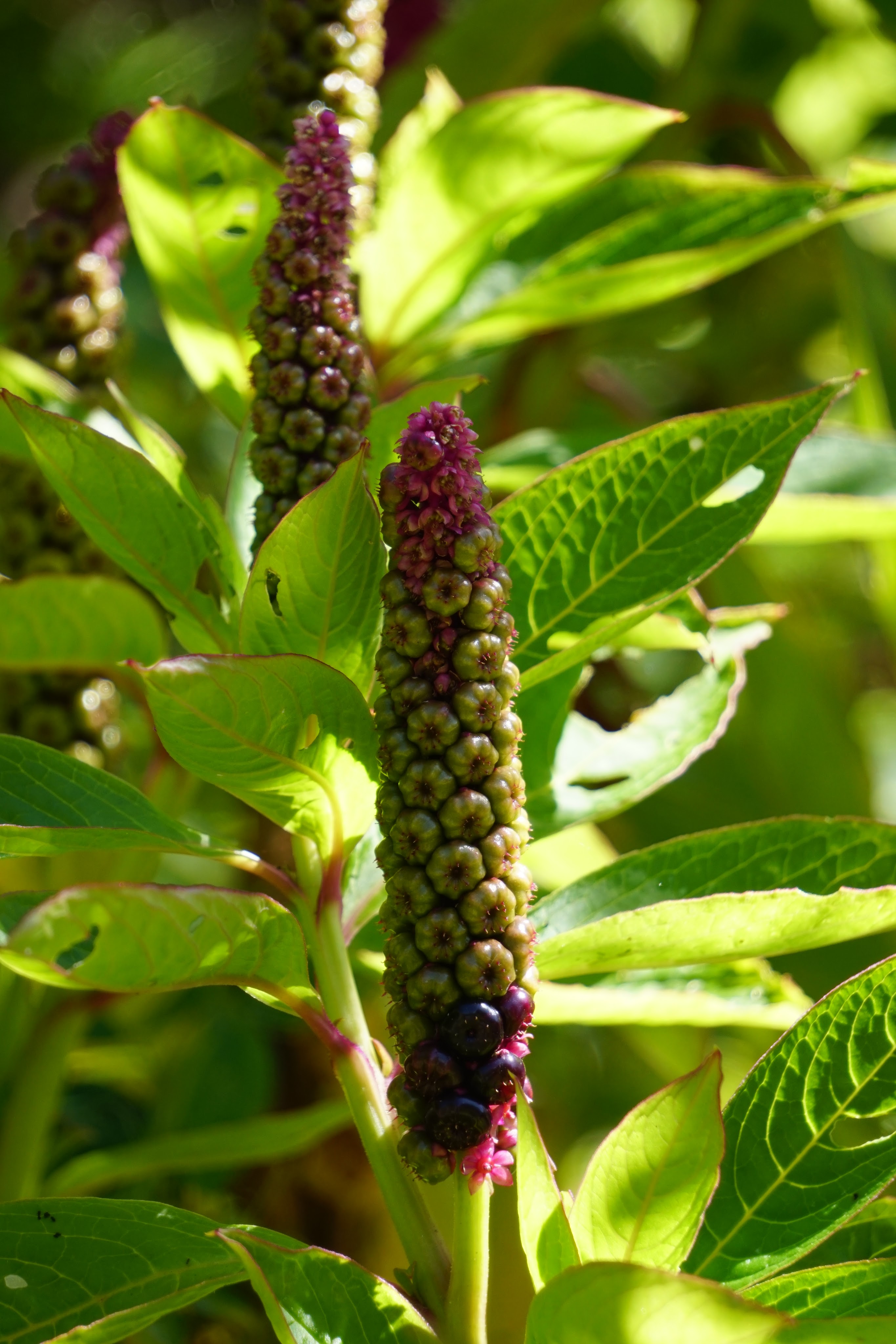
Above: orchid, Phytolacca poleweed just starting to bloom
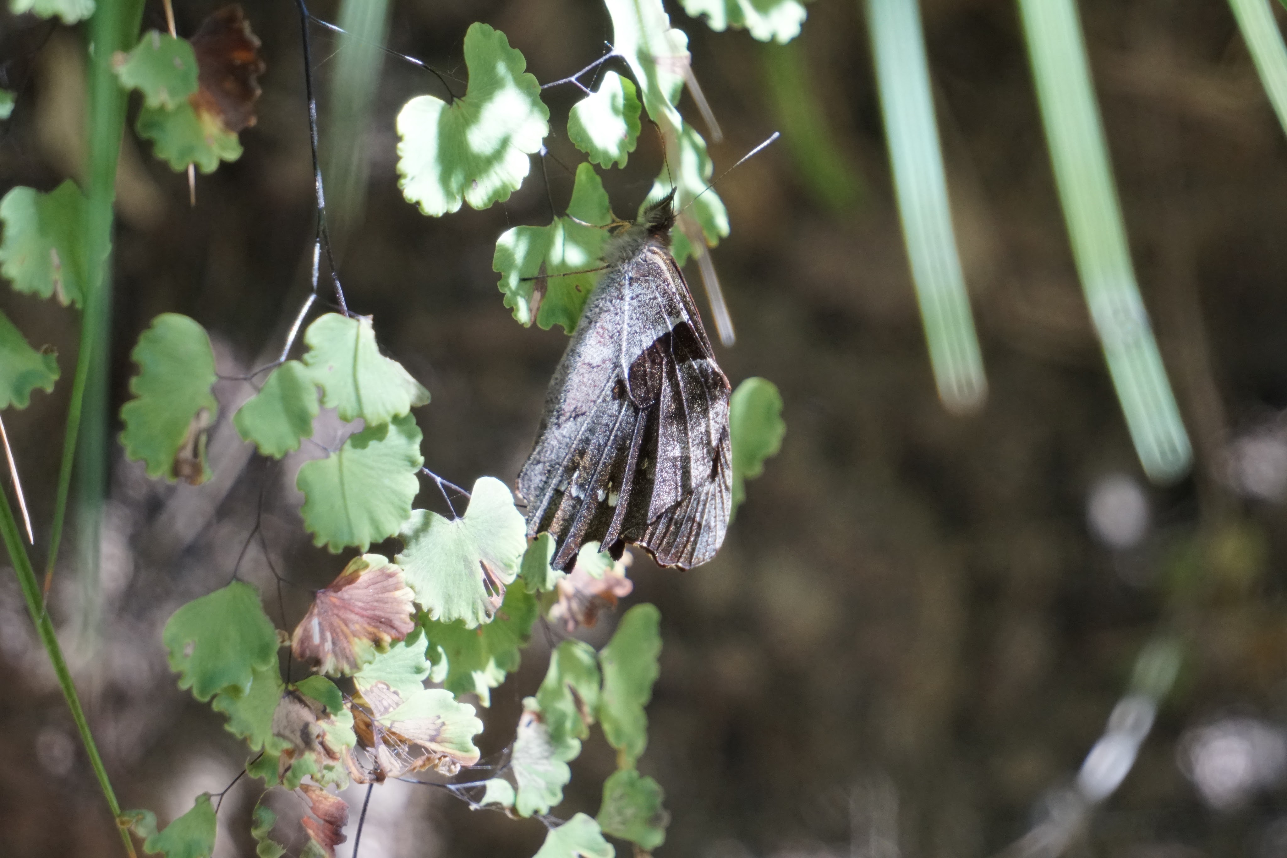
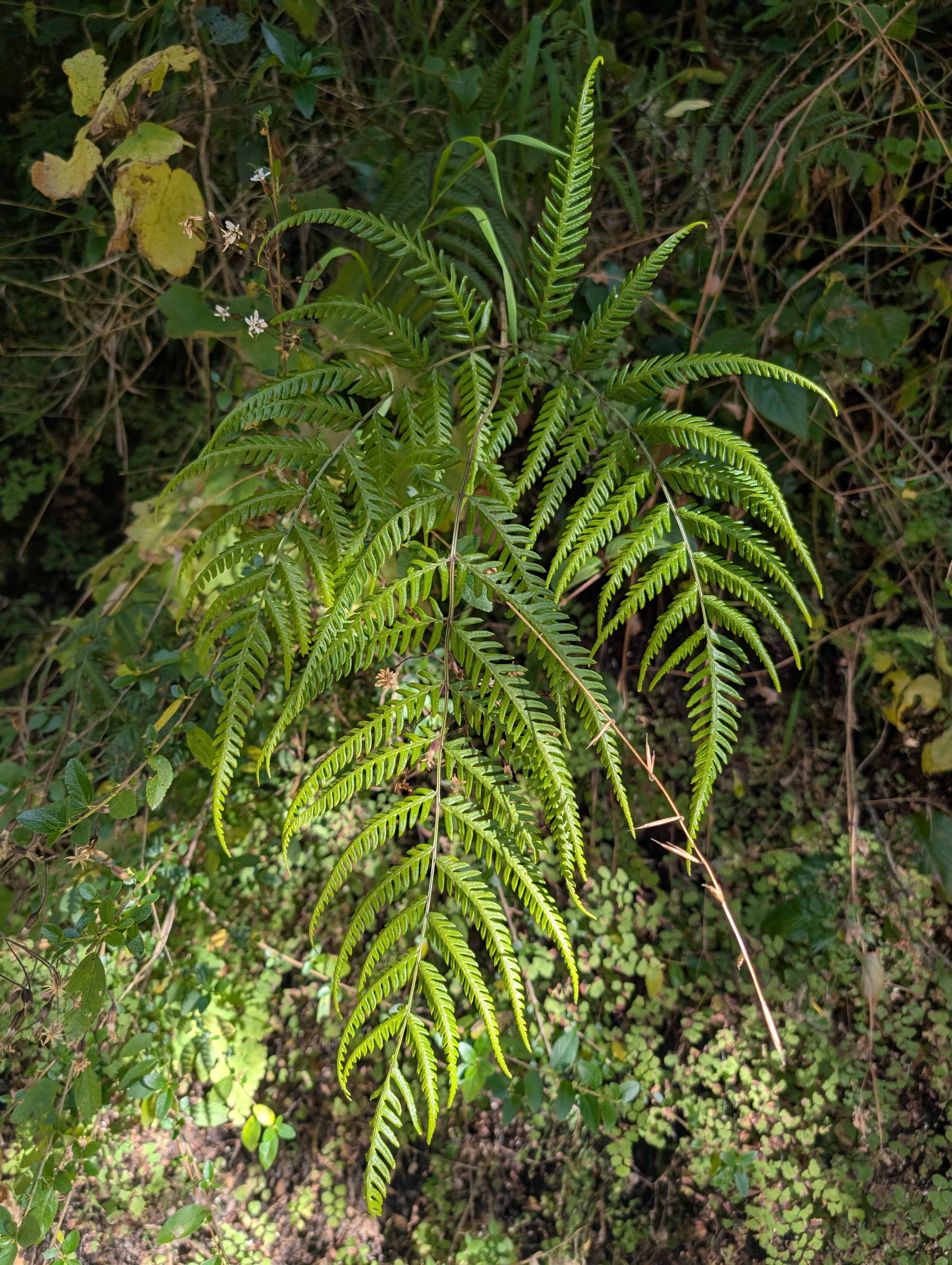
Below: Cool collection of Bromeliads (maybe Tillandsia) and fern, perhaps a young Swallowtail butterfly on maidenhair fern

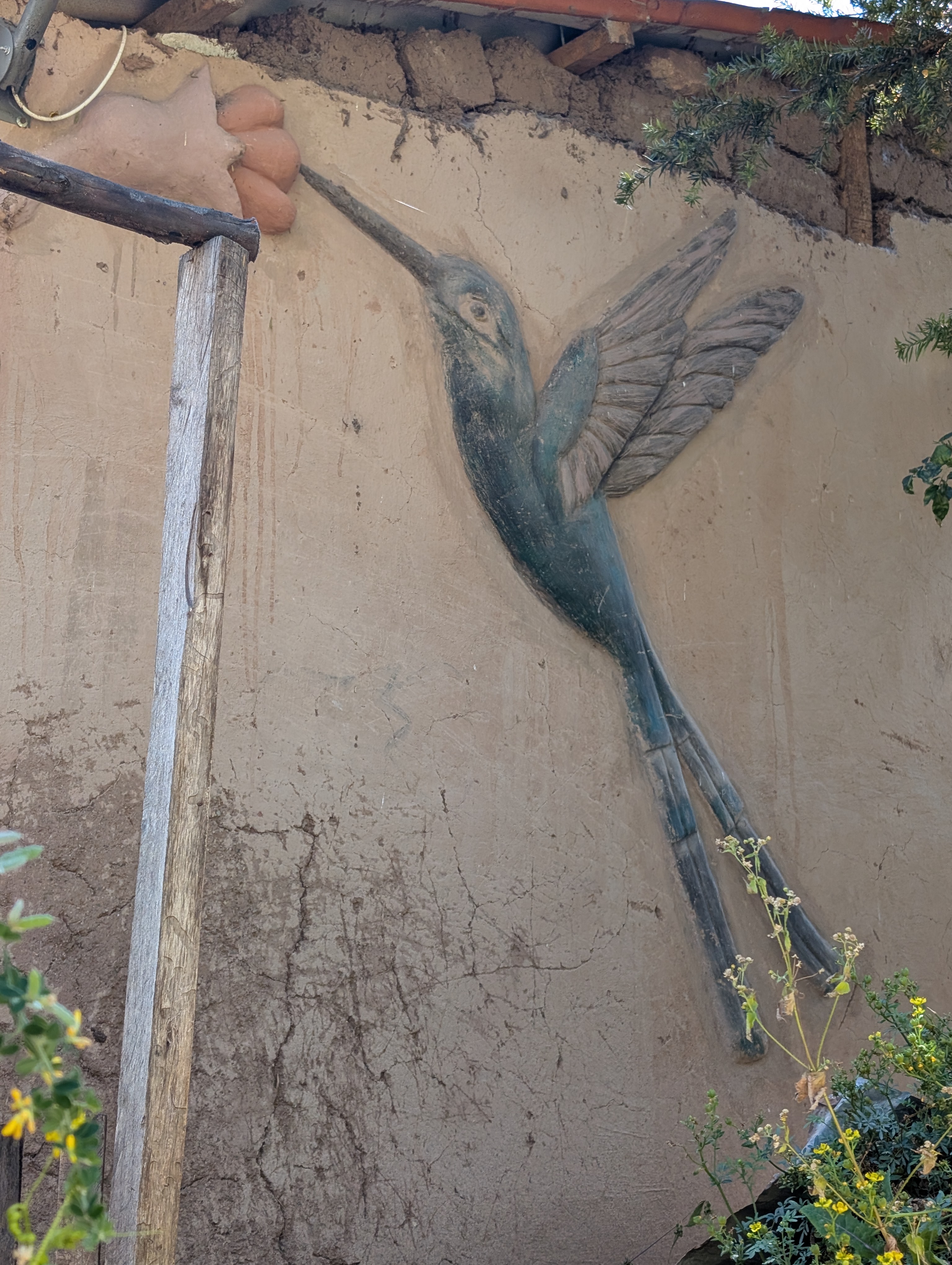
Above: some kind of pink-colored ground cover, verbena, natural building hummingbird art on the outside of a home
Below: wild cucumber, Oscar and donkeys

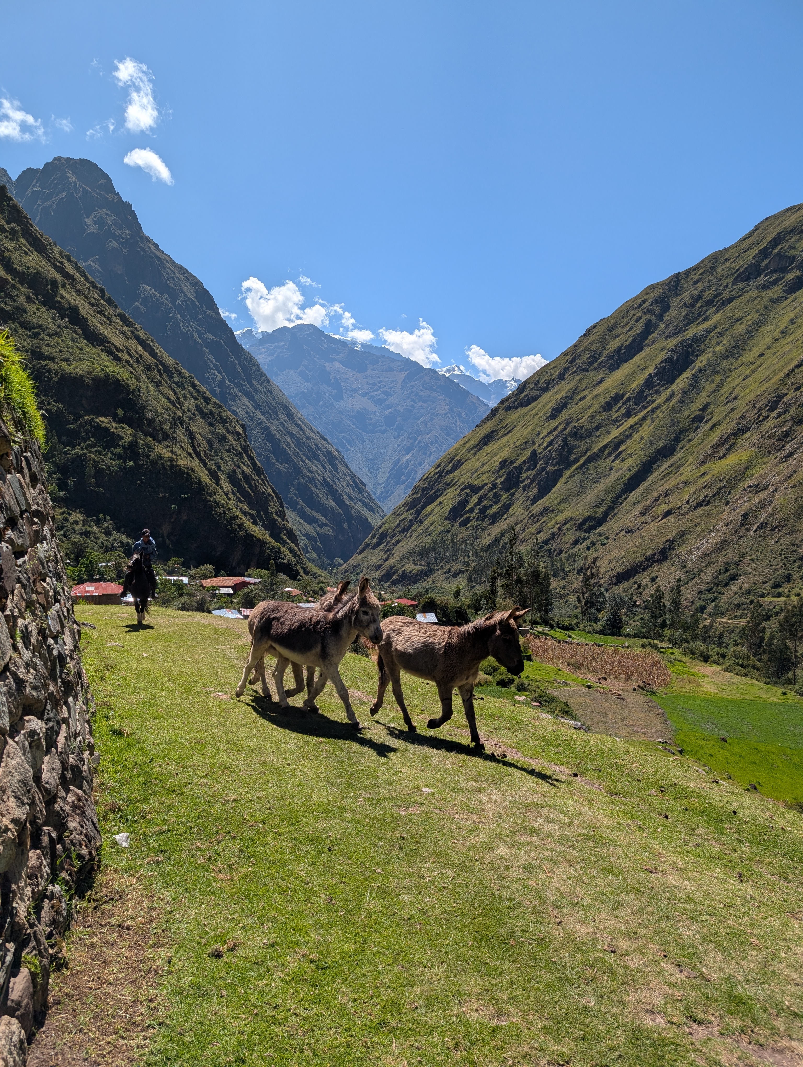
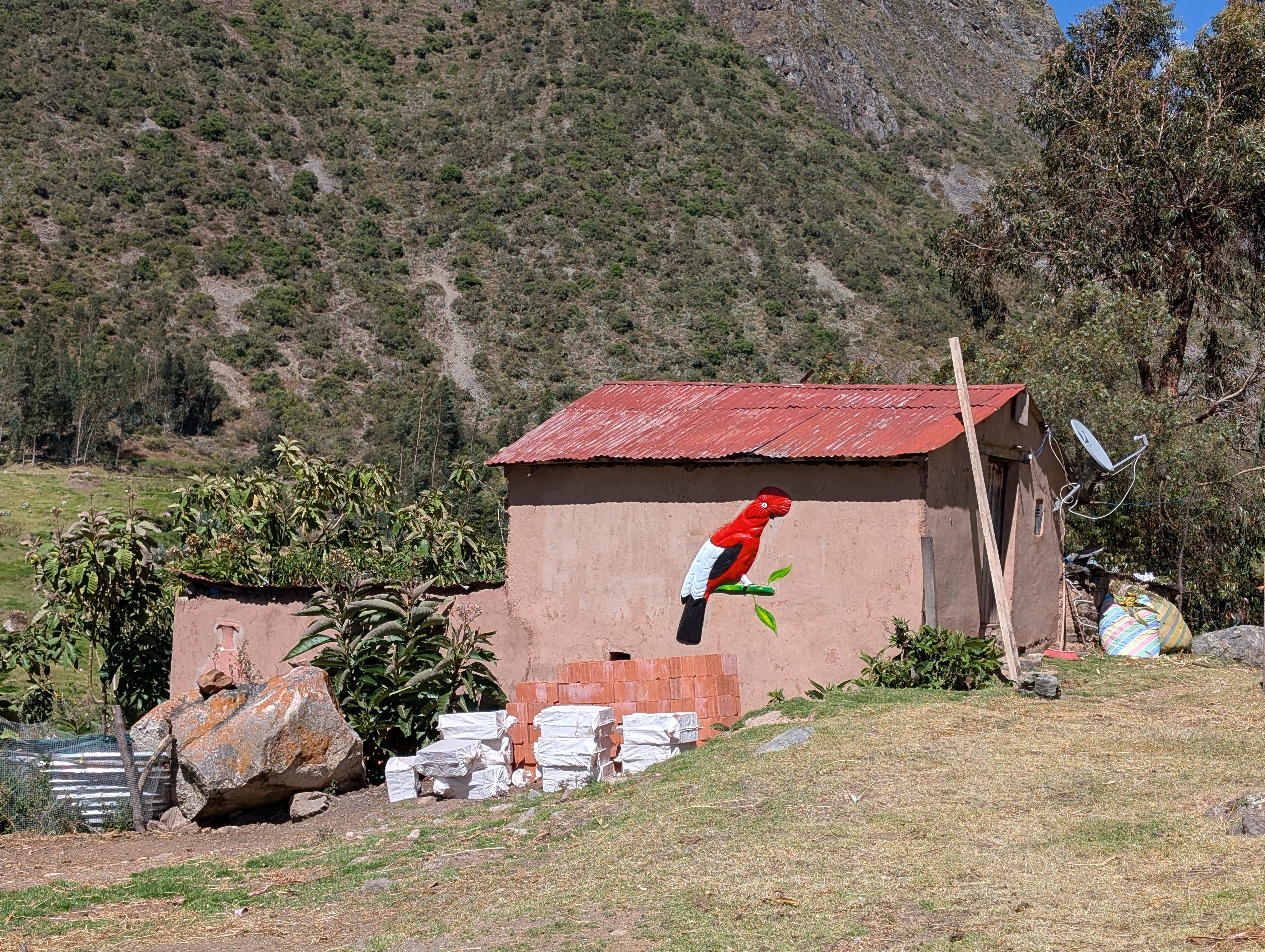
Just after 11 am, we meet some donkeys and Oscar coming back up the canyon riding his horse. I wave one final goodbye. We circle up above the trail and spend a few minutes checking out what’s left of some ancient ruins. Peru’s national bird, the gallito de las rocas or Andean Cock-of-the-Rock, is beautifully depicted using natural building techniques on the side of a house. No joke – cock of the rock, also known as Tunki in Quechua, is noteworthy for its sexual dimorphism. The male is the only one who displays the red rock-shaped head. And then the female makes a nest under a rocky overhang and raises the young all by herself.


We descend a bit farther before arriving at our lunch spot in Huayllabamba about 11:30 am. In Quechua, Huaylla means grassy and Bamba or pampa means plain. Now, this isn’t the grassy plain one might imagine from the middle of the United States. But in comparison to the towering canyon walls, this junction of the Cusichaca and Llullucha Rivers has formed a rich alluvial plain filled with trees and farm plots.
I know we’ll be here a while so I pause the track recording on my watch. I am greeted by a friendly cat who I’m eager to pet. Because horses are not allowed on the Inca Trail, there are two porters who have just joined us here. The Mountain Gods Peru team is busily preparing lunch in the building on the terrace below the store.
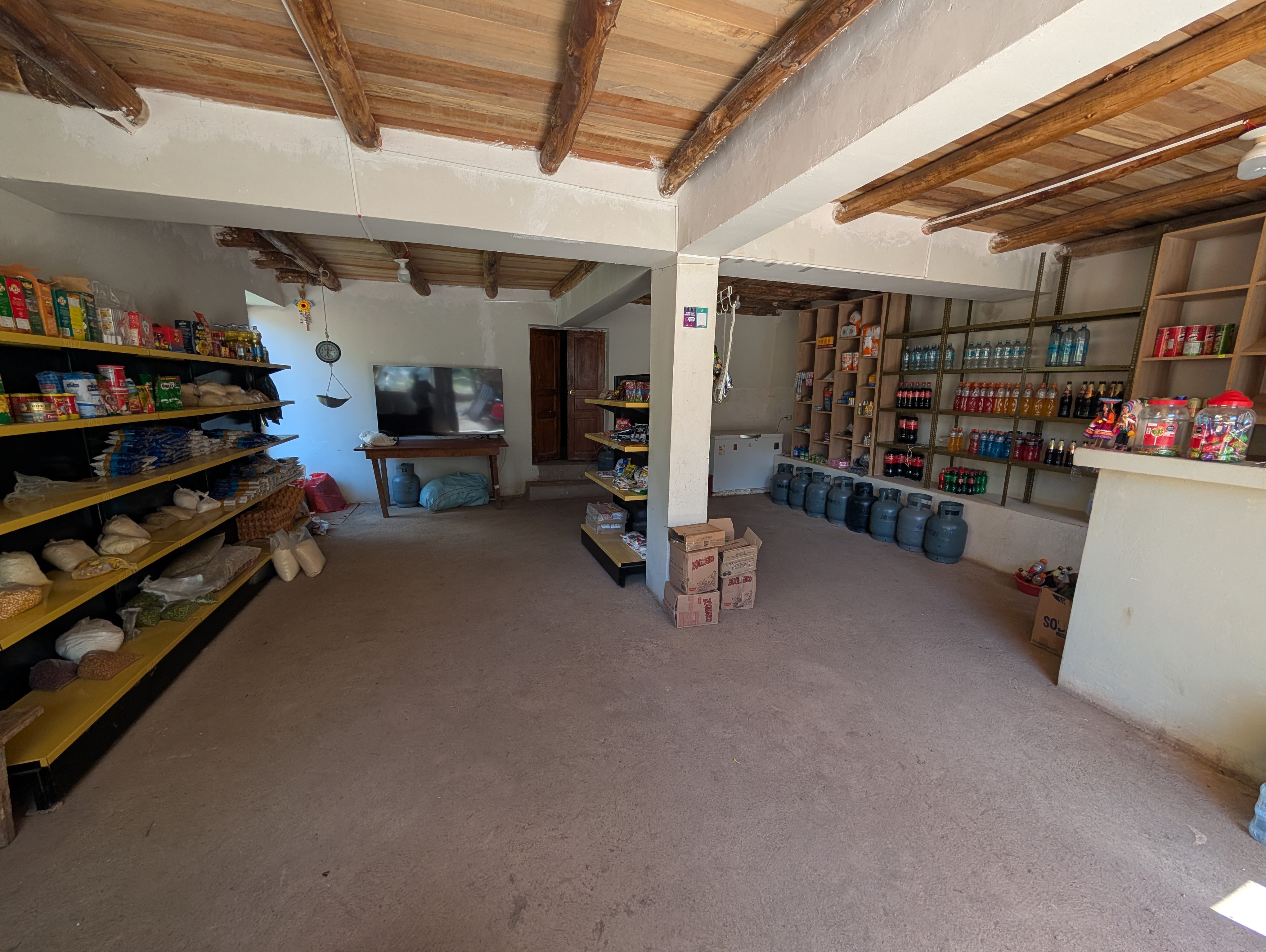
Even at 9,700 feet it’s hot, and I can feel my face warming and turning red. I lay down on my mat in the shade, listening to and watching life move through the canyon. Chickens, dogs, birds, the wind all on their own paths. I keep hoping the cat will come over for a visit too. A beautiful lunch is served about noon and Elizabeth and I sit in the front corner of the store.

My ancient Inca cat must have gotten a whiff of the chicken and comes in to rub on our legs. Elizabeth throws down a few bites for her. As soon as Elizabeth gets up, my new cat friend, and certainly my long lost Inca relative, is happy to jump up and cuddle on my lap.
I prepare for departure by reducing my layers to just my sun shirt and using the lovely flush toilet bathroom. I add a little sunscreen and prepare to climb.


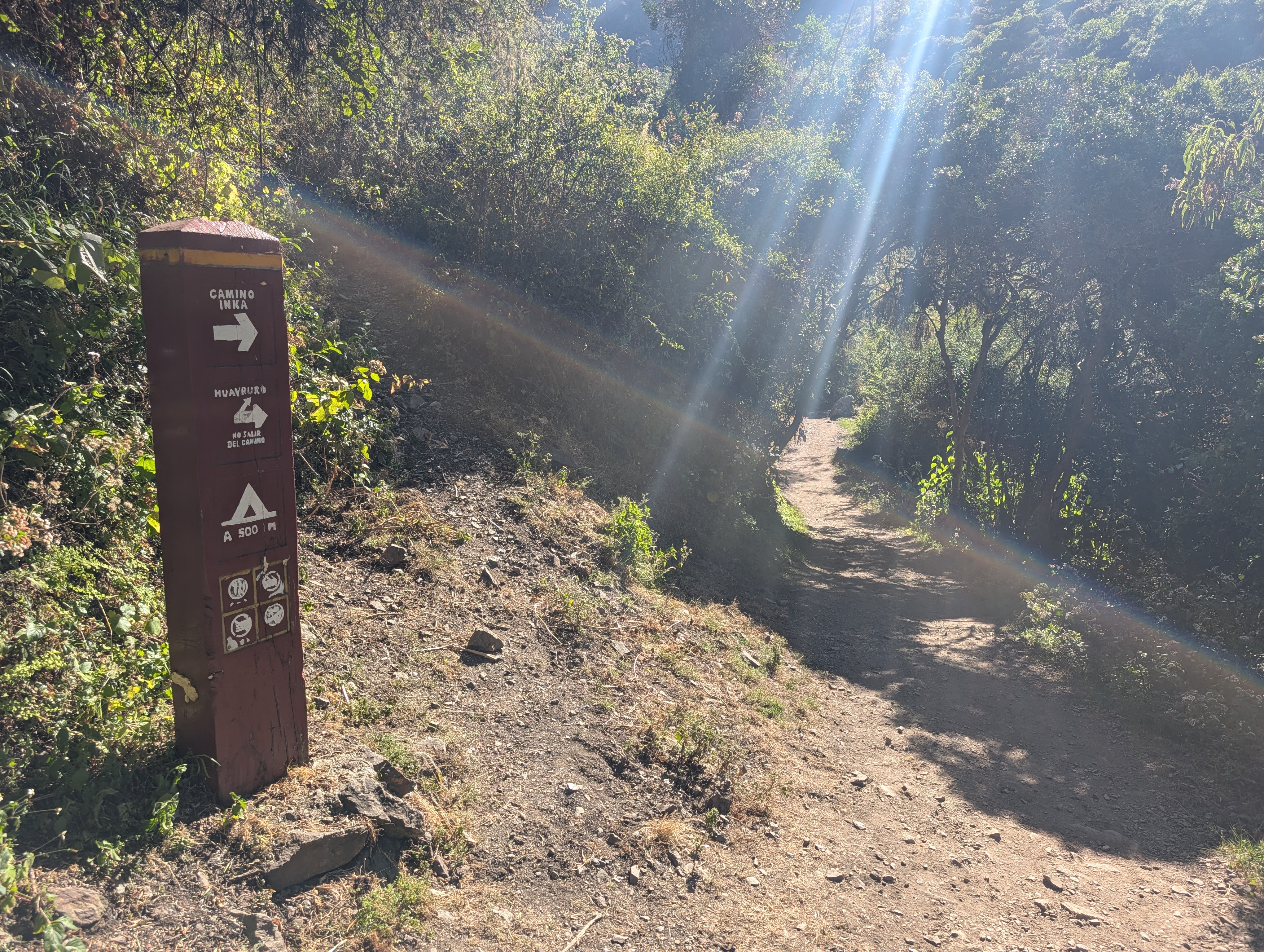
Just before 1 pm we head out and start to meander through some backyards. We pop out onto a rocky pathway and there are a couple dogs running around and some older women with donkeys. Some group’s clients are unable to meet the weight limit and women and children are hired to carry their extra gear between camps. Our arrival at this rocky pathway is so unceremonious that it takes me a while to fully understand that we are now officially on the Inca Trail.

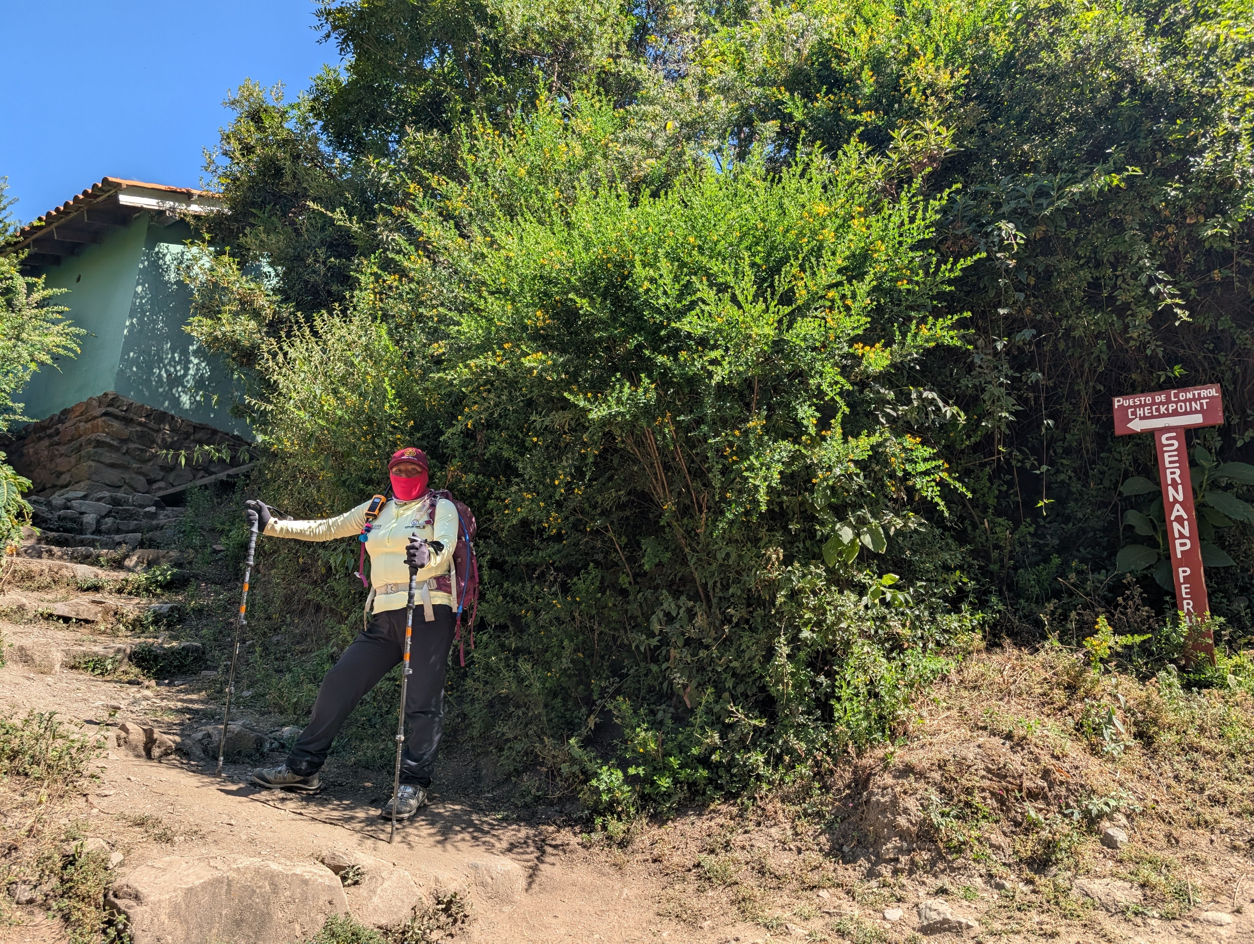
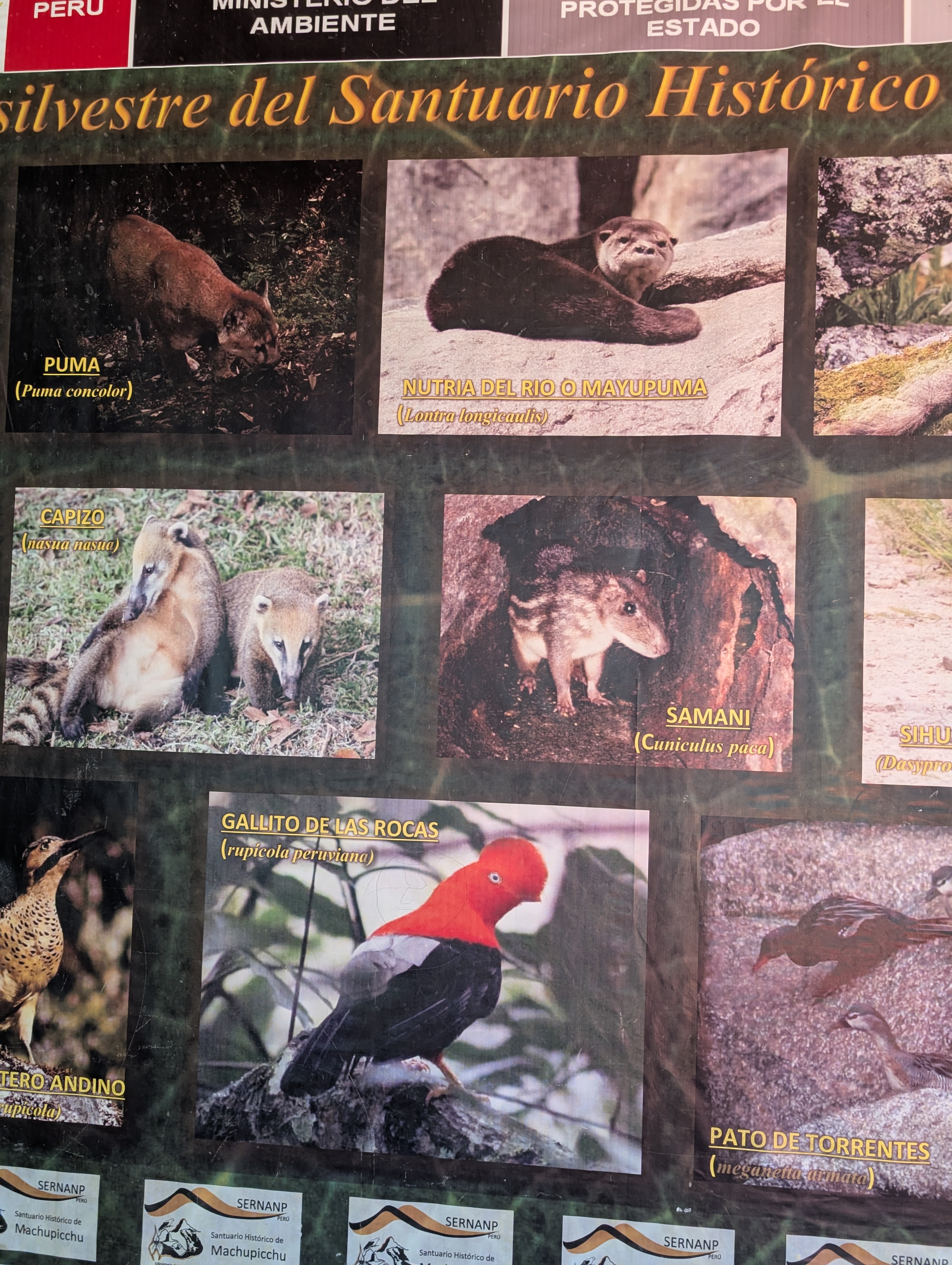
We climb briefly before reaching the Huayllabamba, also spelled Wayllabamba, check point about 1:20 pm. It seems no one is on duty because it’s their lunch time. I get my passport out and ready. While we wait, I check out the information boards about the flora and fauna.
Another group rolls in with their guide and porter crew. There’s a separate area where the porters sit with their big loads. A national park employee, who is still chewing food, emerges from an adjacent building. It seems like they are checking the other groups passports and getting them signed into the book. Elizabeth pushes herself right in there too, while I observe a large black caterpillar with yellowish-green spines. The other clients see me photographing the caterpillar and then they need to get their pictures too. But none of them say anything to me. The caterpillar works its way down to the ground, so as a precaution, I carefully move it into a nearby dirt patch. Post-hike research reveals that this caterpillar is most likely in the Leucanella genus, becoming a spectacular bulls-eye silk moth. The Leucanella caterpillars are known for their venomous spines. Wow, guess I lucked out on that one!


As best I understand, clients and crew are supposed to be at the checkpoint at the same time. The porter’s gear is weighed, which has a 25 kg limit, before the whole team can proceed. The rest of the Mountain Gods Peru team is still packing up lunch but somehow we are allowed to leave before the other group.
We depart about 2 pm and start the hot afternoon climb. I point out a tub of red liquid sitting in someone’s yard and Elizabeth tells me that it’s chica, probably with strawberries which are giving it the red color and helping with fermentation. You might remember from Salkantay Day 1, that I had chicha morada, the non-alcoholic purplish-blue corn drink. Well, chicha de jora, or just chica is a fermented corn drink made from germinated corn. The traditional method of making chicha is by chewing the corn grains and spitting them into a container to begin fermentation. After the fermentation process, the mixture is boiled and strained. A few minutes later, I step aside so that a porter from the group at the checkpoint may pass. I can’t help but notice a nondescript bottle in the side of his pack with what looks like red chicha sloshing around in it.
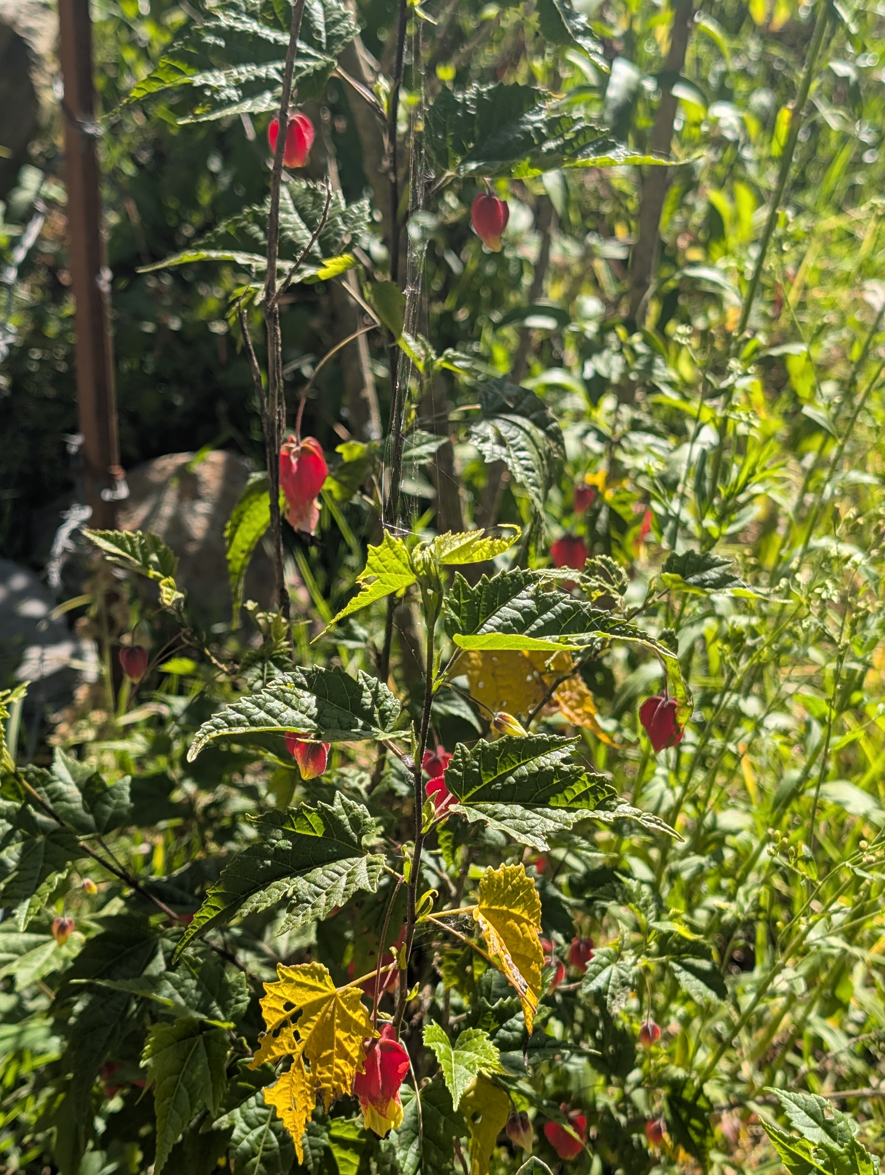
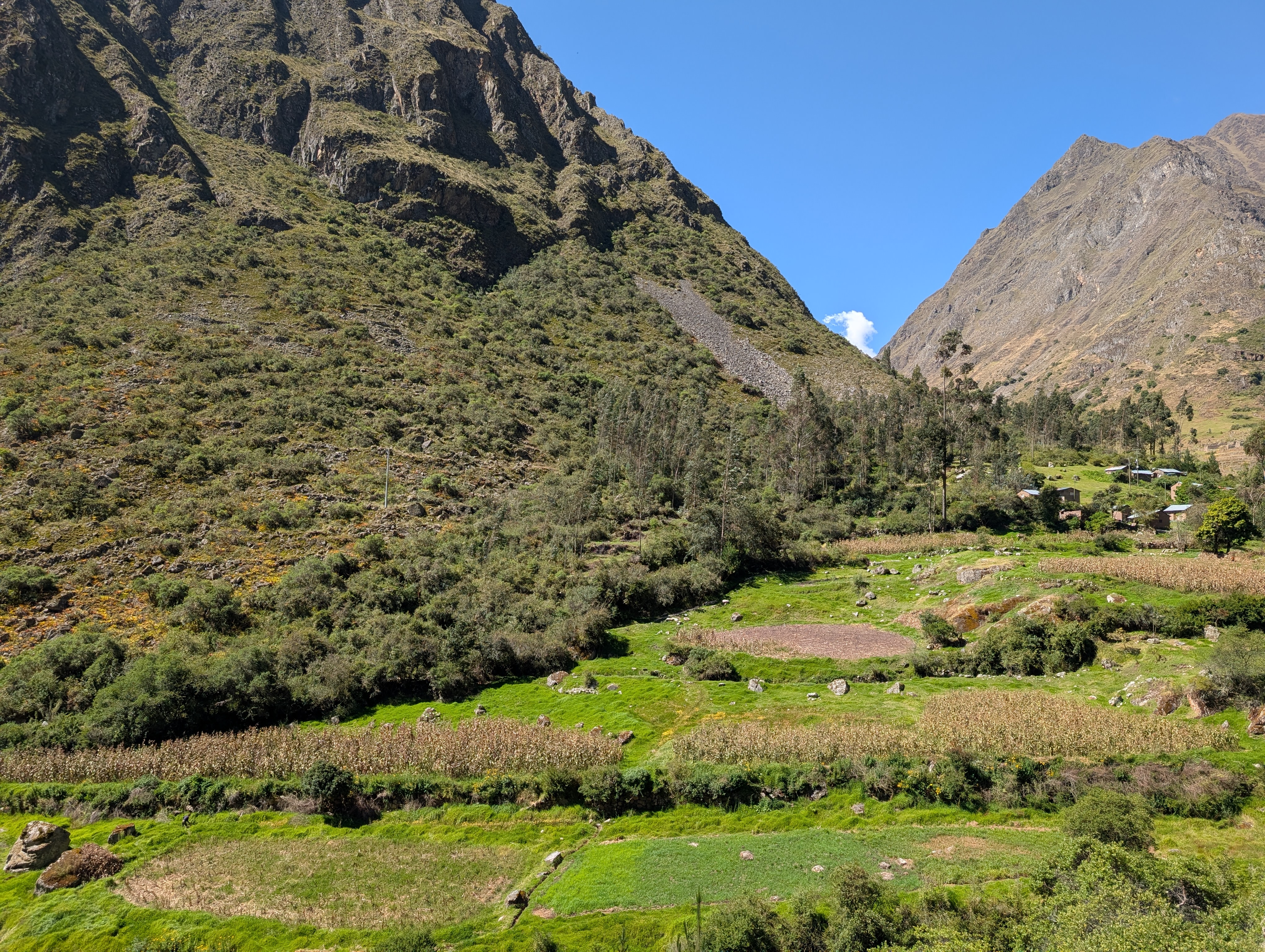
Our big left turn at Huayllabamba, leads us up the Llullucha Canyon where I spy red and yellow Abutilon. Along the trail’s edge, there are wooden signs with markings that I can’t decipher.


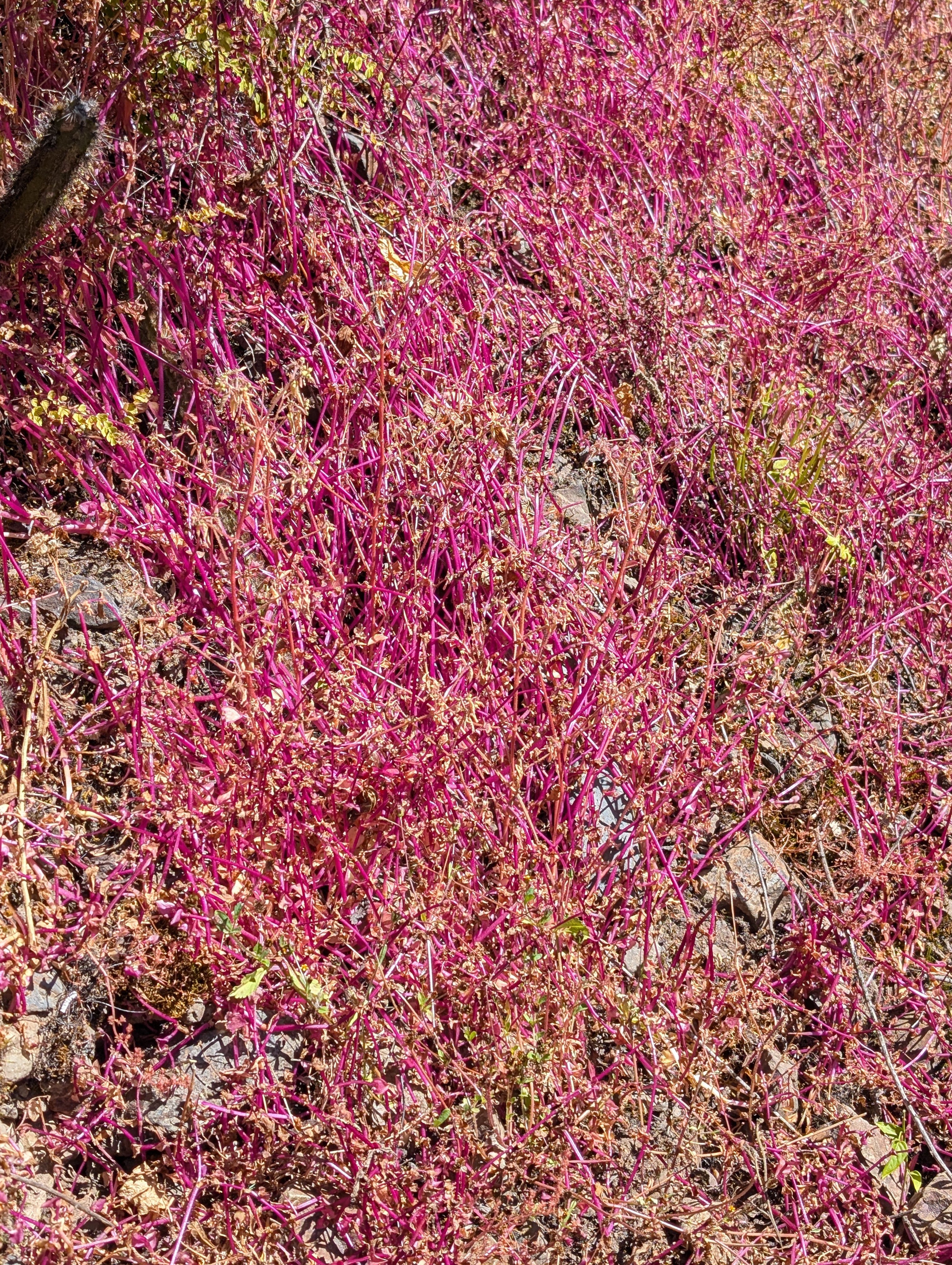
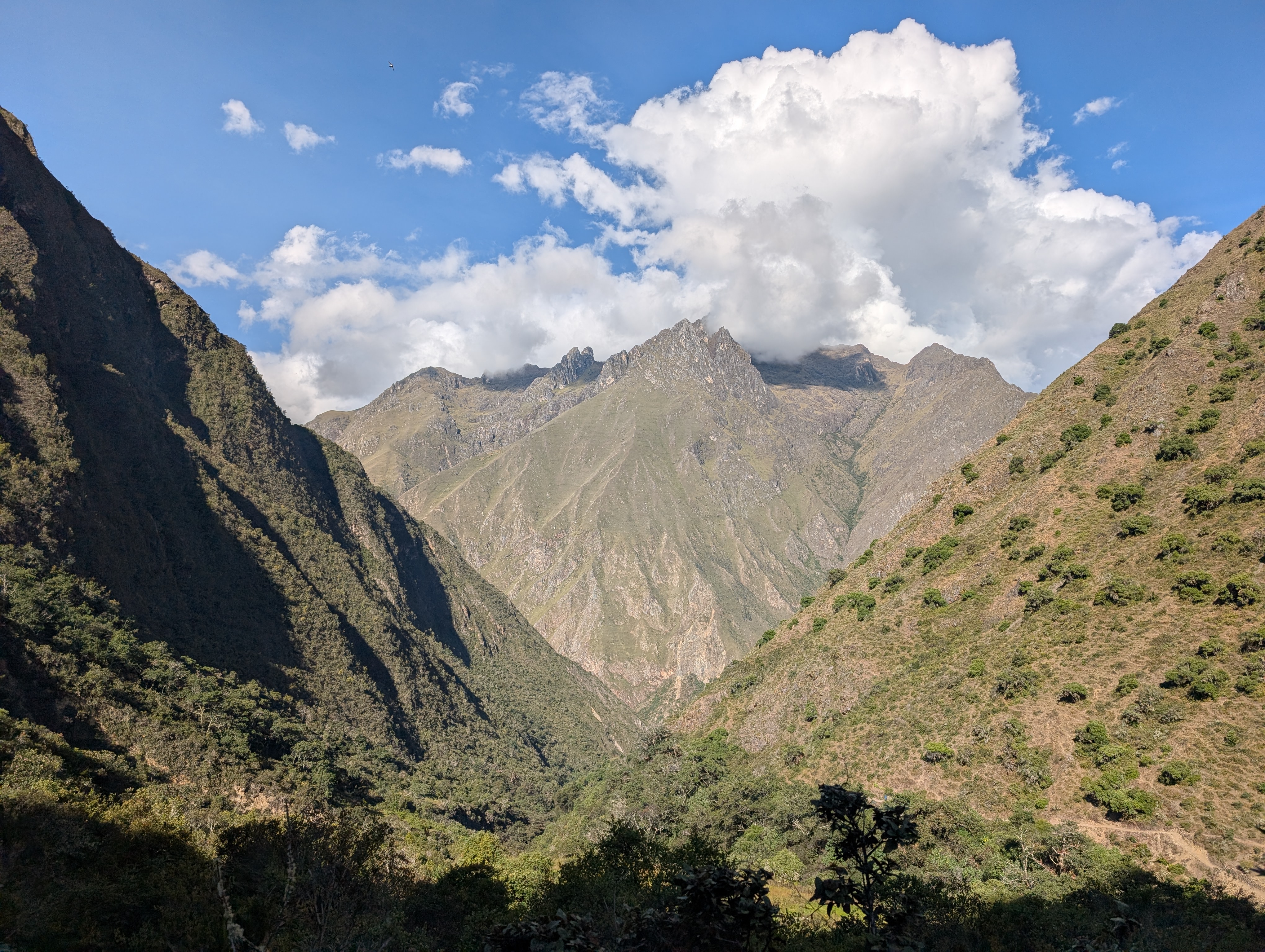
Above: Looking up the terraced Llullucha canyon with Amaranthus glowing a bright magenta in the sunlight. And looking back down the Inca Trail towards Huayllabamba.

We are going to follow the Inca Trail up and across the front of the mountain in the middle of the above picture. Then, we will continue climbing up Llullucha Canyon until we cross Abra Warmiwañusca or Dead Woman’s Pass tomorrow morning.
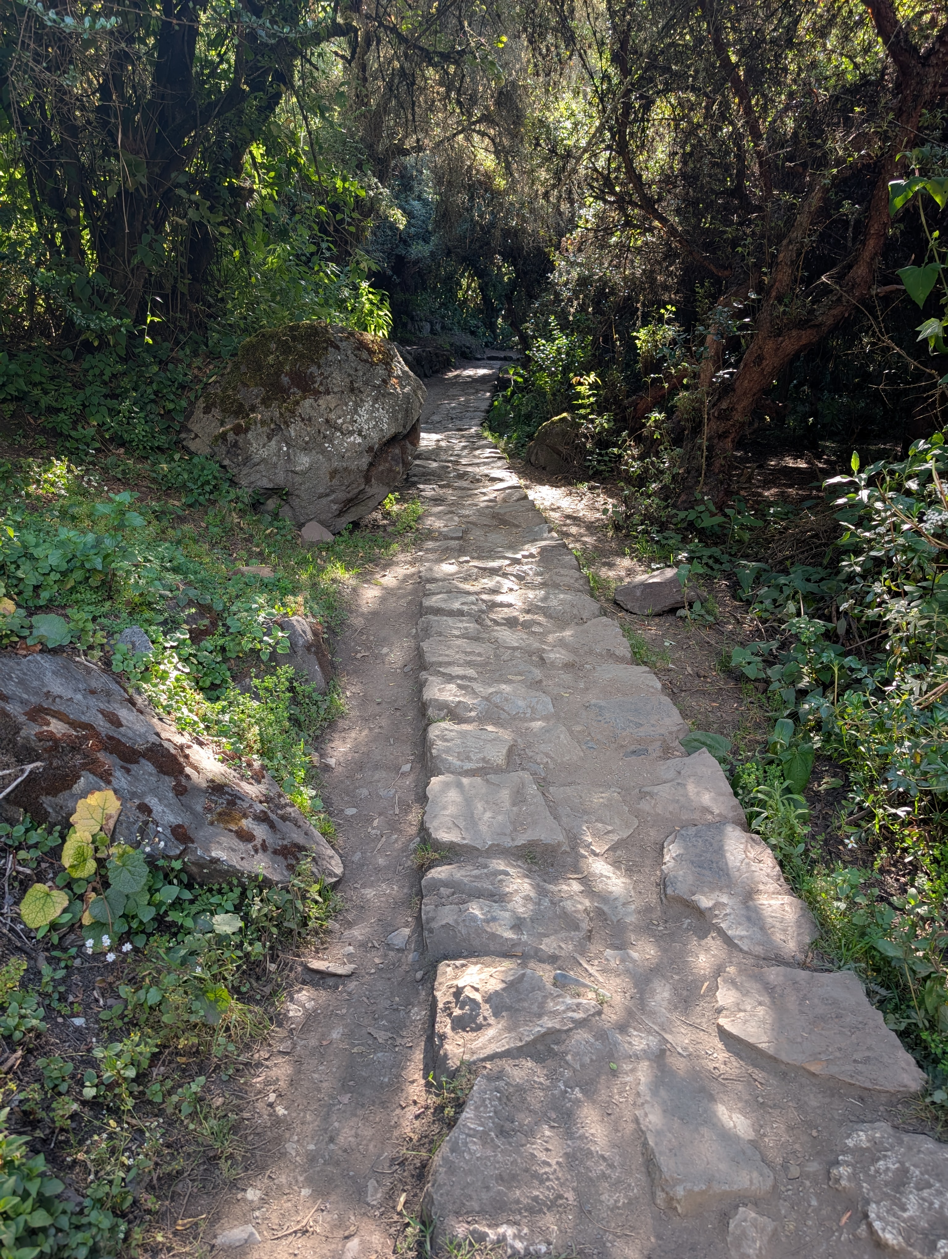
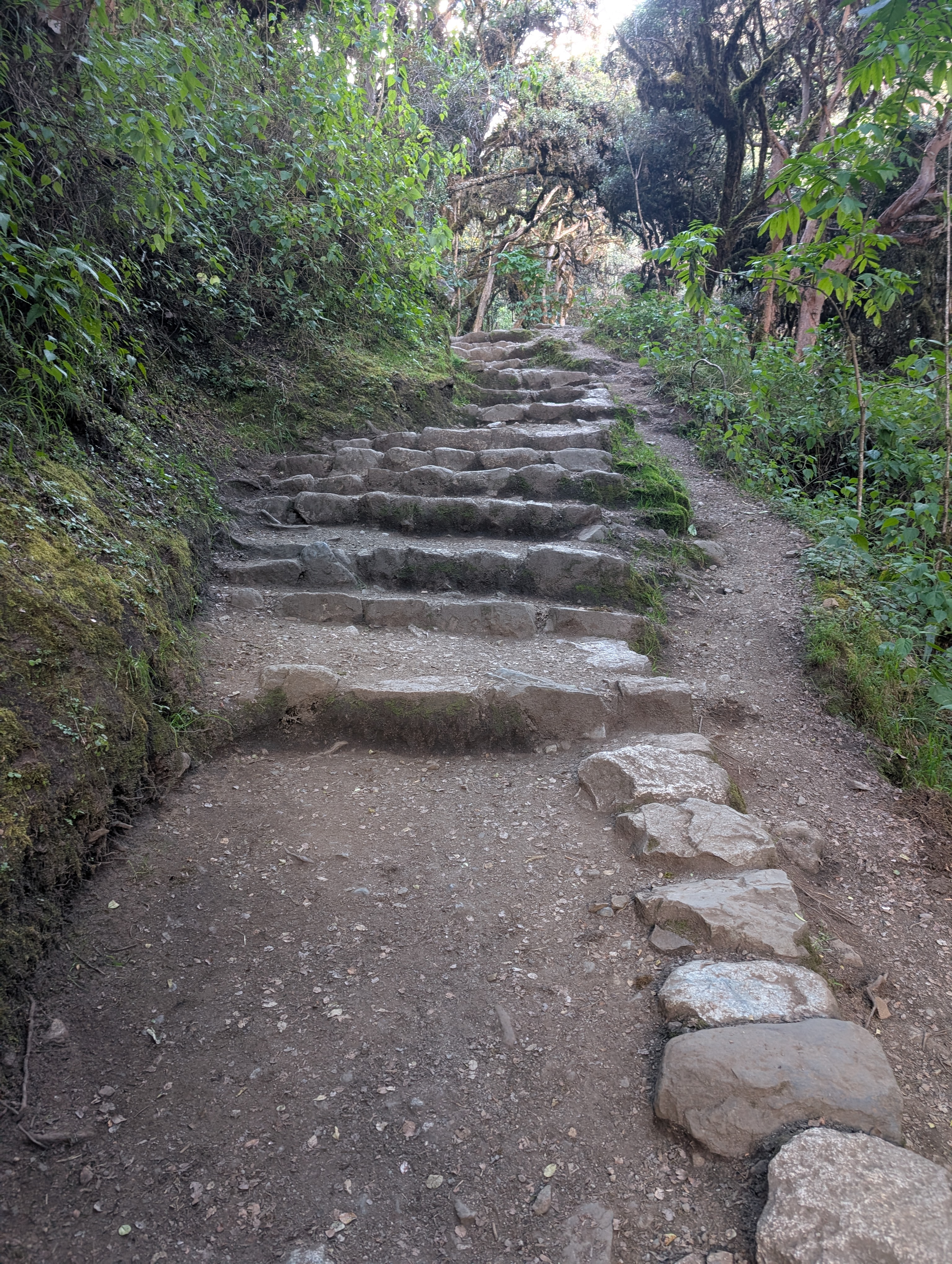
I’m grateful as the trail climbs into shady forest. The dirt Inca Trail occasionally transforms into rock and I’m so impressed. I’ve seen similar rock trails like this and now I understand that they were mimicking Inca engineering.

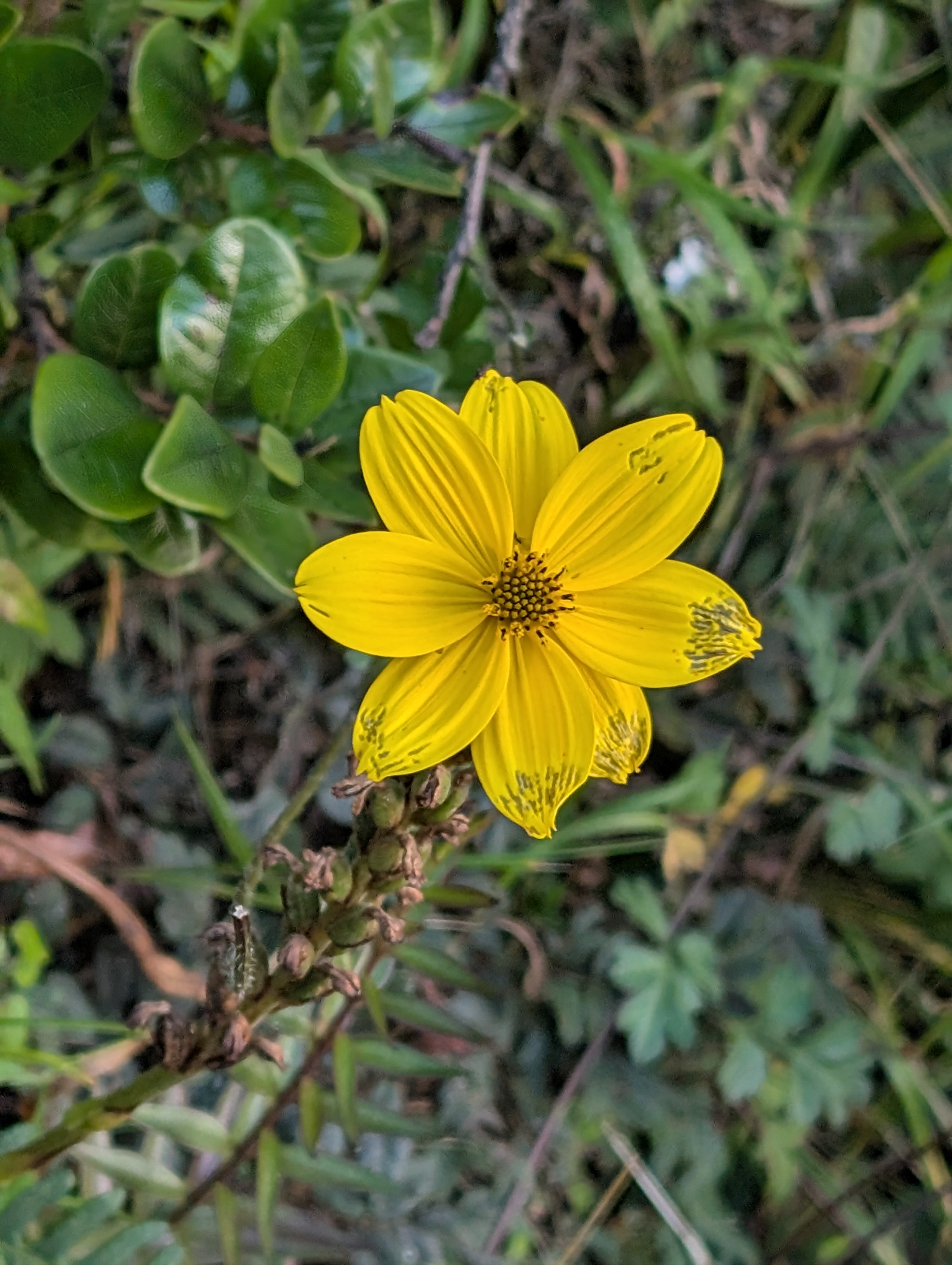
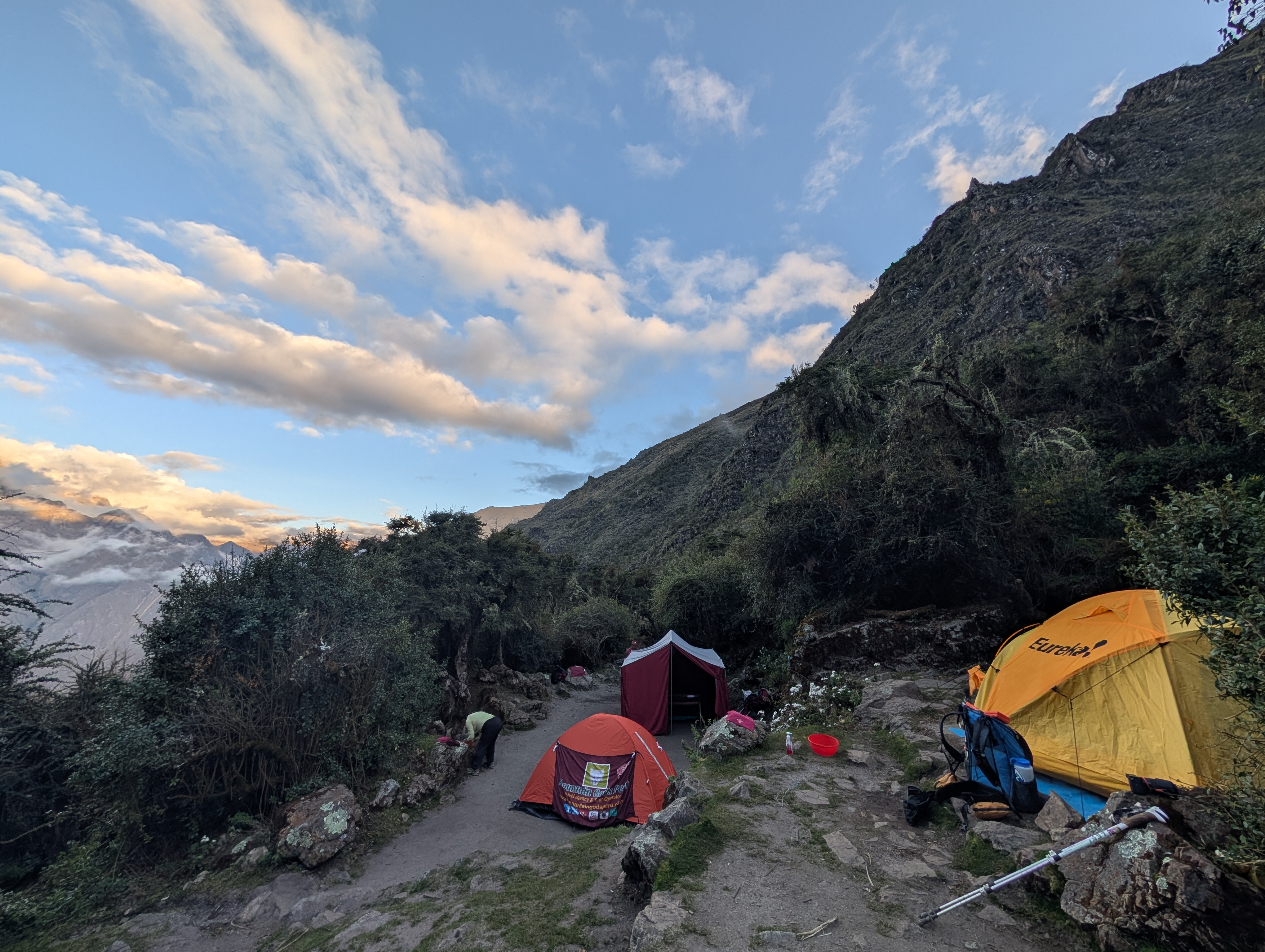
We cross the small Rio Wayruru on a bridge built into downed trees. We climb another 10 minutes before arriving at the Ayapata camp about 3 pm. There are porters setting up tents as we descend into camp to use the bathroom. I look at my watch and realize that I forgot to restart it after lunch. Dang! After using the bathroom I restart the recording track. It won’t be perfectly accurate but at least we’ve been hiking in a fairly straight line up the Llullucha Canyon. We pass yellow Bidens flowers and purple Monnina shrubs as we continue climbing the Inca Trail.

Above: Looking back down the canyon. Look for the dirt Inca Trail near the bottom right of the photo just above the shade. Then zoom in and look for a porter wearing blue.
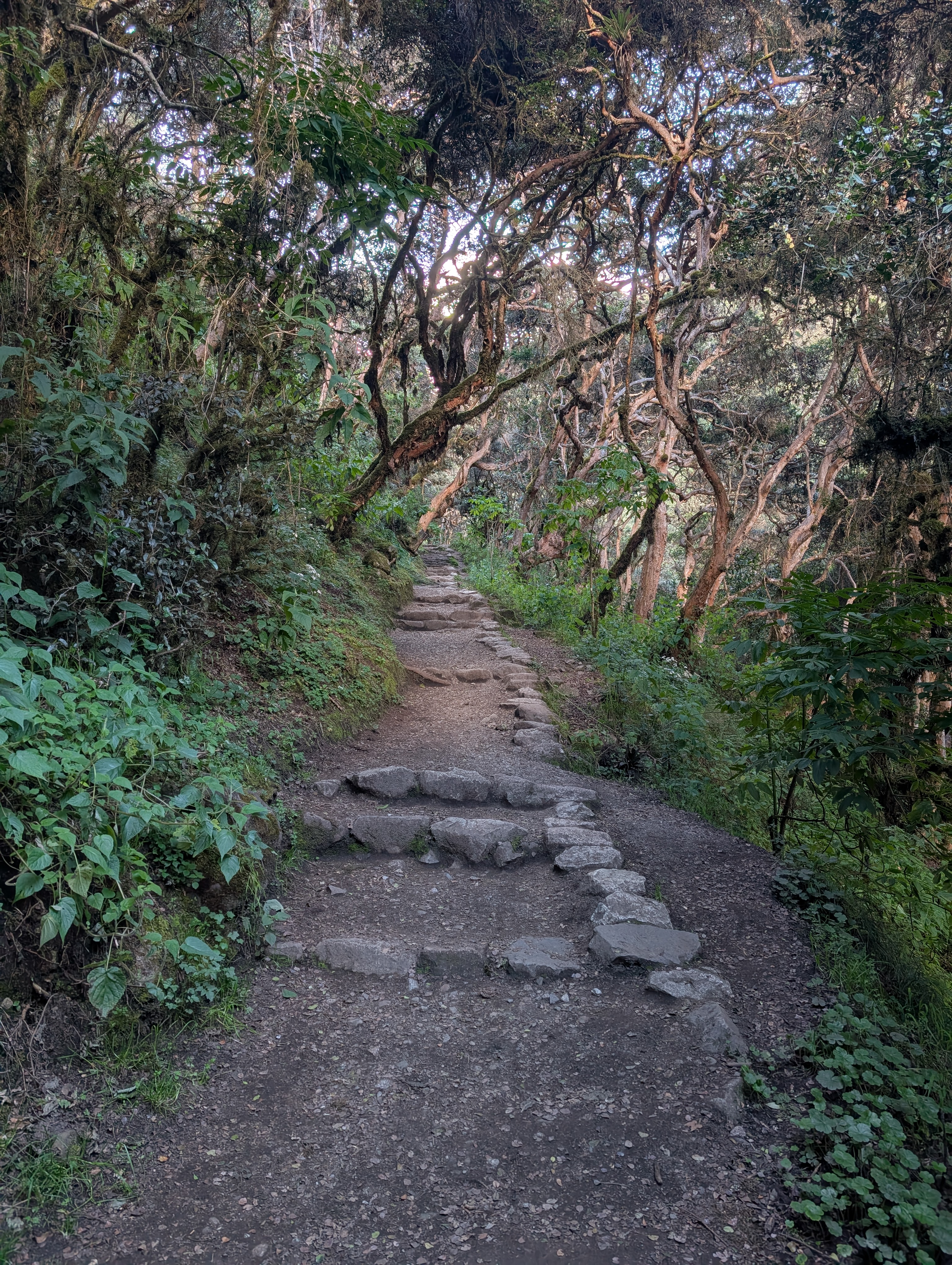
In this area, the Inca Trail is composed of dissimilar sections. Sometimes it’s hard-packed dirt with rock bars and sometimes the surface is solid rock and sometimes it’s just solid rock stairs. Nature’s stairmaster!

After Ayapata, we enter the spectacular Unca Forest. The Unca, Mycianthes oreophyla, is a light-colored hard wood tree that is endemic to Peru and Bolivia. The Inca used unca to create ceremonial vases called Keros. This mesoandean forest is exceptional because it is usually found at altitudes below 10,500 ft., and we’re at about 11,000 ft. and climbing.

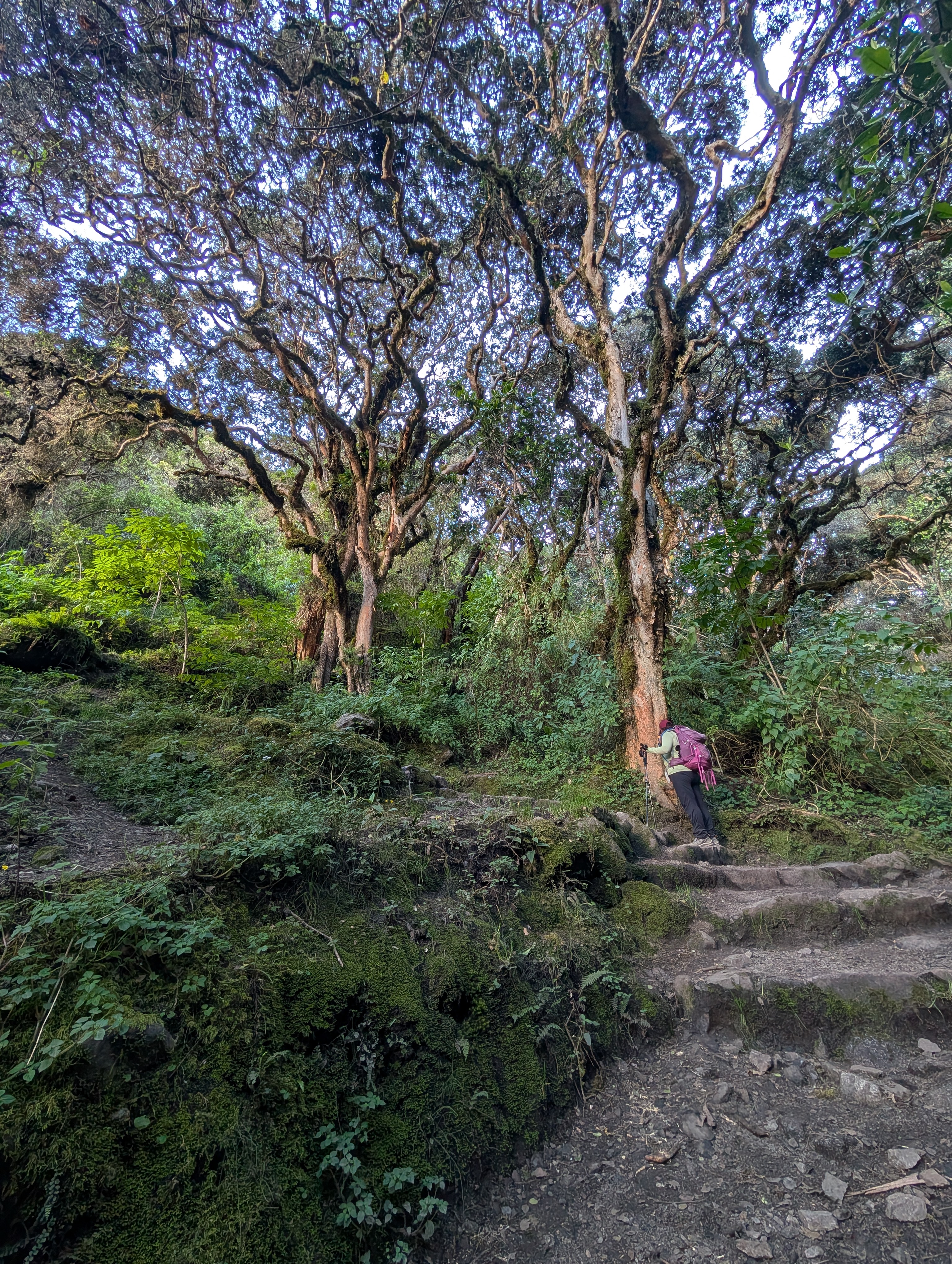


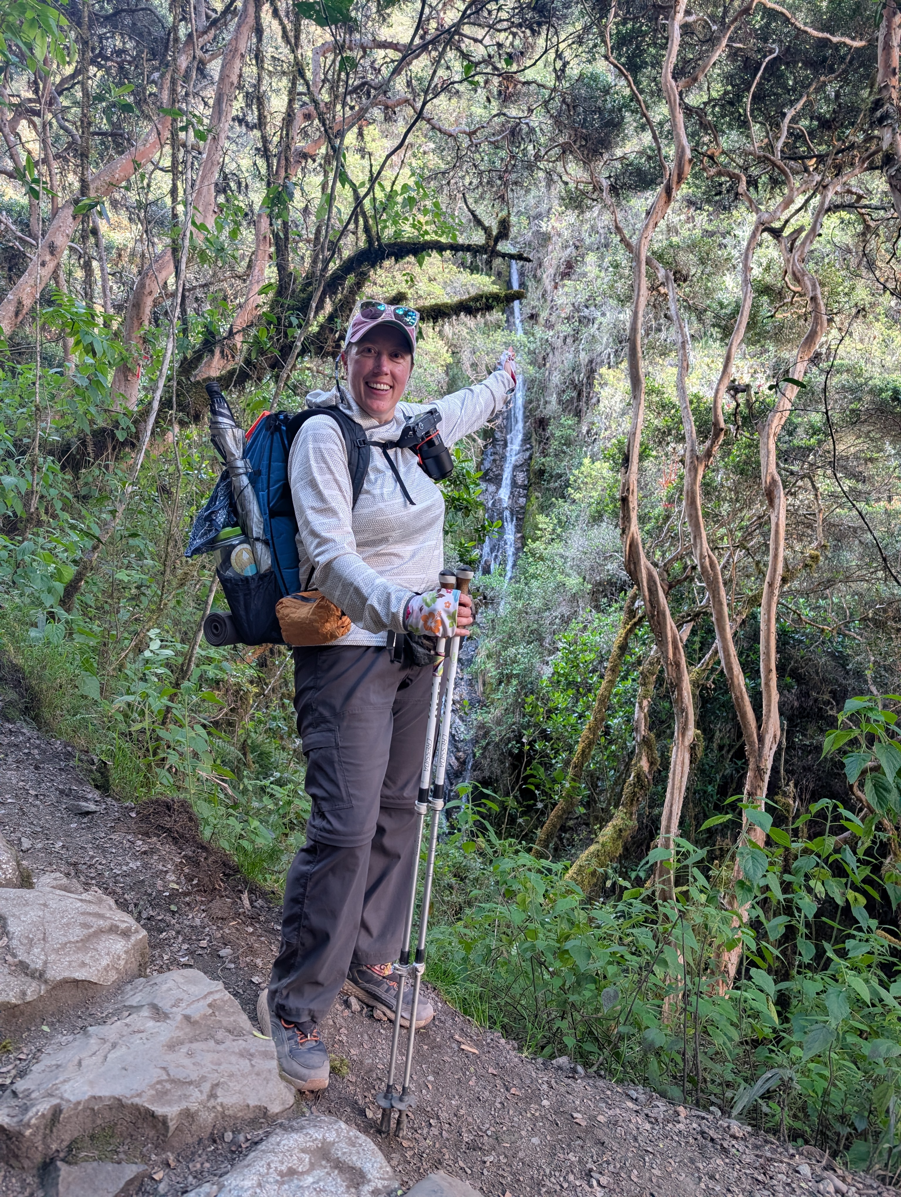
After an hour of climbing since Ayapata, we reach a window in the unca forest with a view back down the canyon. Y’all, these stone stairs are no joke. And the steps are big too. It definitely takes a lot of work to hoist myself up each step. If I may generalize, Peruvians tend to be shorter. As descendants of the Inca, one could guess that they were shorter people too. So, why are the steps so large? I pose this question to Elizabeth and she says that the Inca chaski used to run the trail. Chaskis or chasqui were specialized runners chosen for their unique agility, who were tasked with relaying messages between stations. Because the chaski would only run a short distance, messages could move hundreds of kilometers in a day.
It’s important to think of the Inca Trail as part of a larger network. Qhapaq Ñan, meaning royal road in Quechua, was a 24,000 mile network of roads with Cusco at its center. The Inca built the roads across extremely diverse and challenging terrains—including high mountains, deserts, and rainforests—using simple tools, local materials, and a deep understanding of their environment. The Inca, who shared their engineering knowledge, rapidly expanded their empire which stretched from present day Colombia to Chile and Argentina (map below). Chaskis would use this network to move messages but it was also used for trade and military deployment. The Qhapaq Ñan is an UNESCO transnational cultural treasure and a testament to the ingenuity and resilience of ancient Andean civilizations.

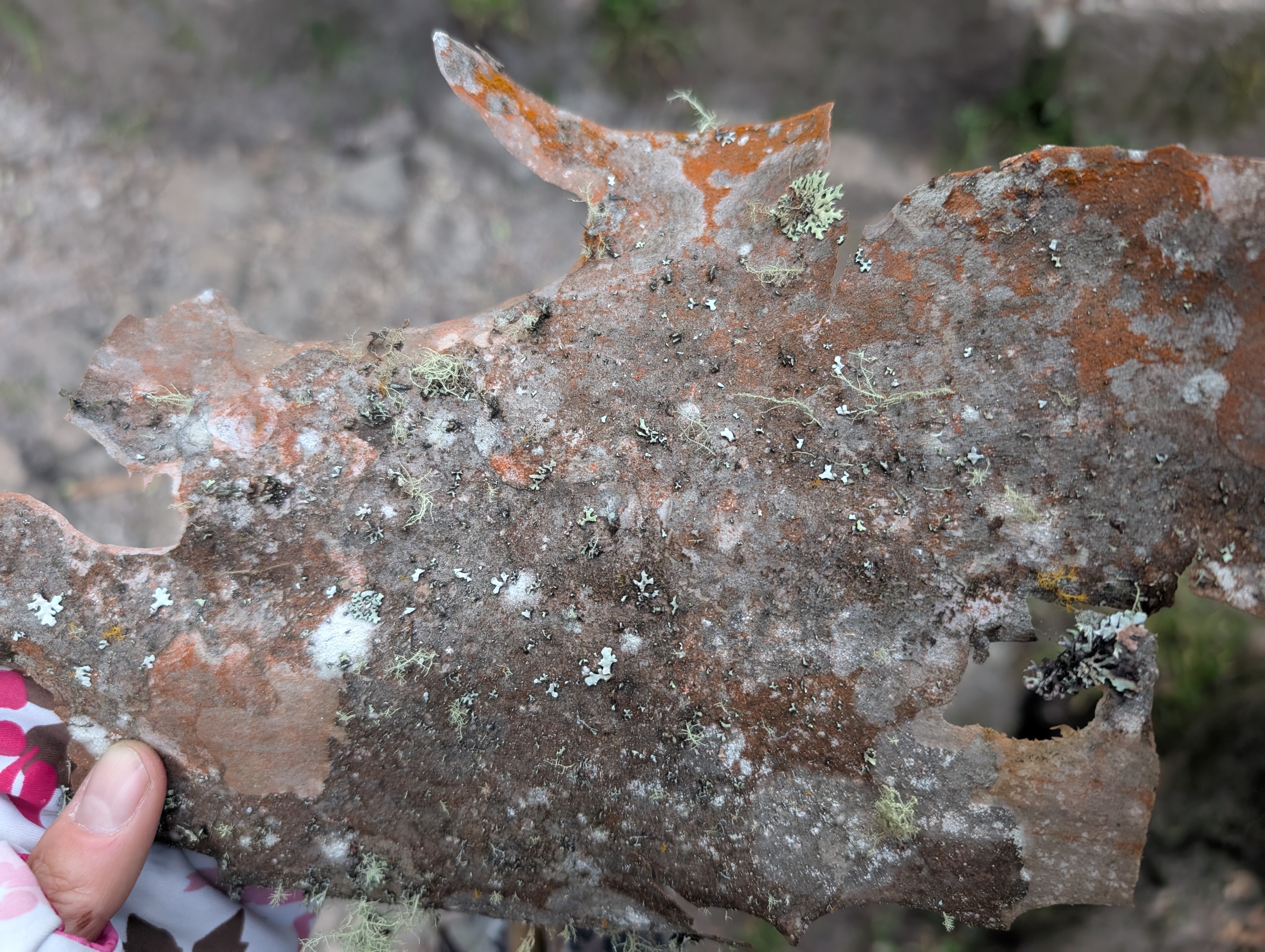

Above: Unca bark with lichens.
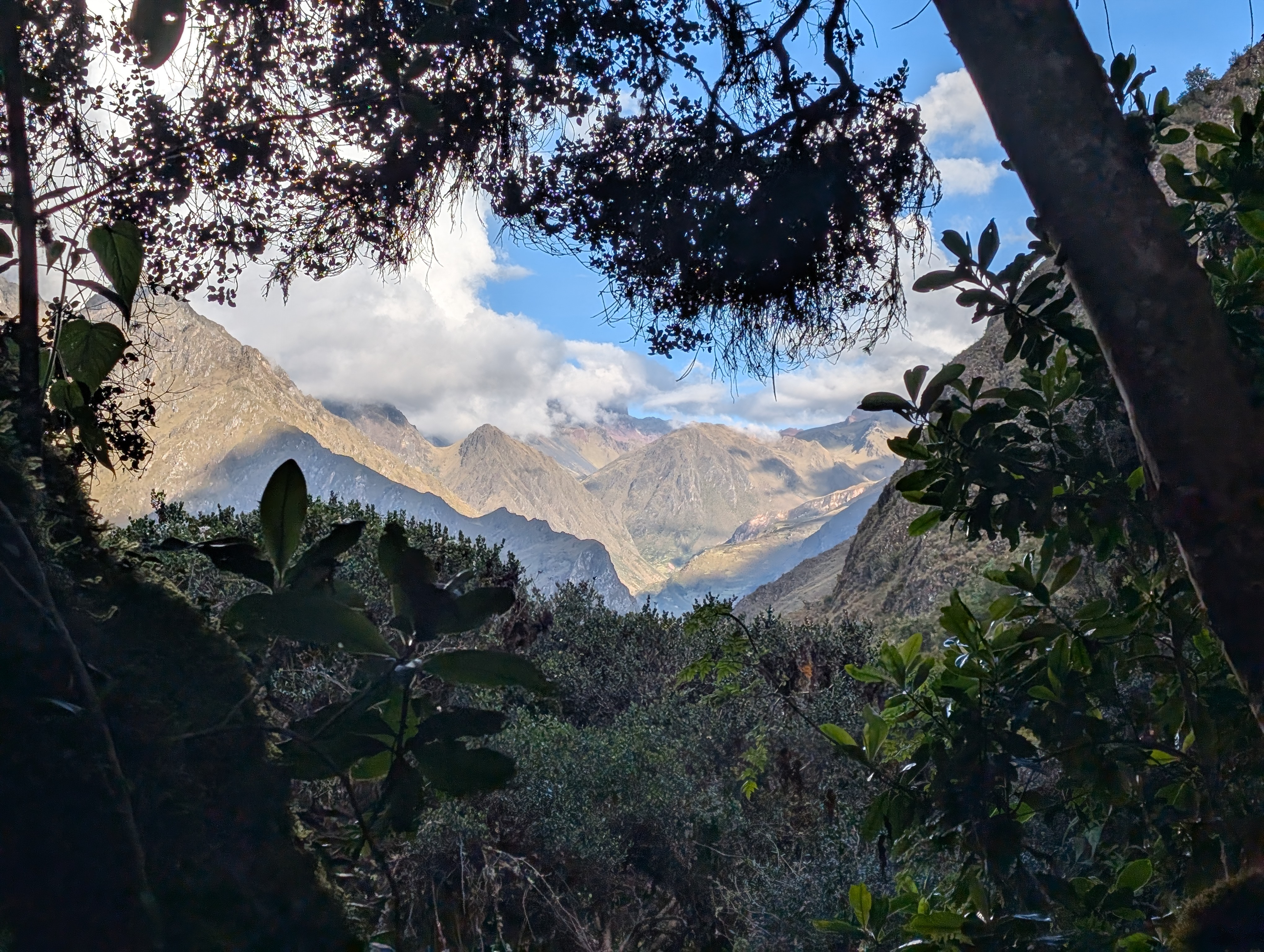
Approaching and passing 12,000 ft., the Unca Forest continues to shade the Inca Trail.
Below: A beautiful collection of fungi, lobelia, mosses and lichens.

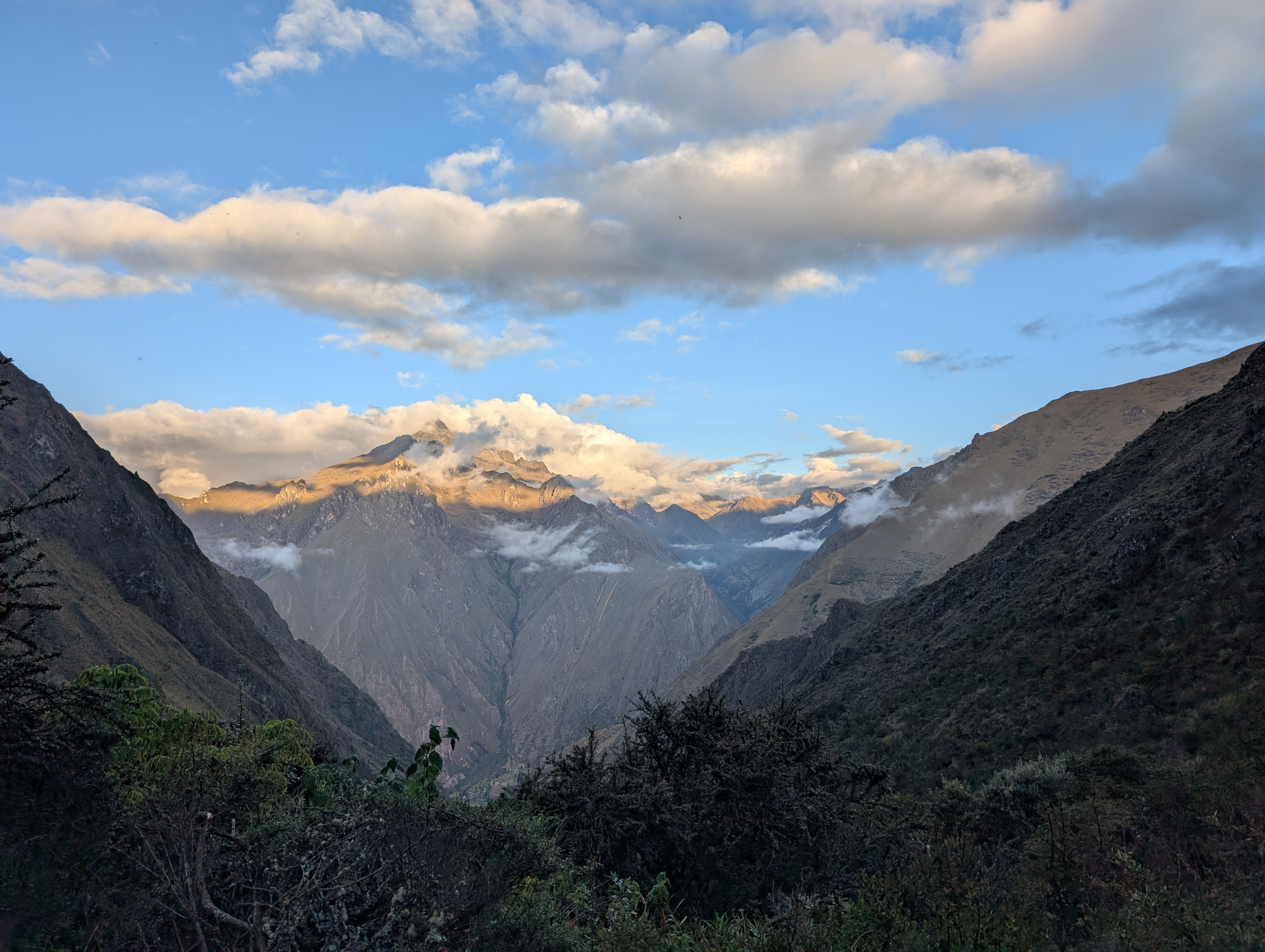
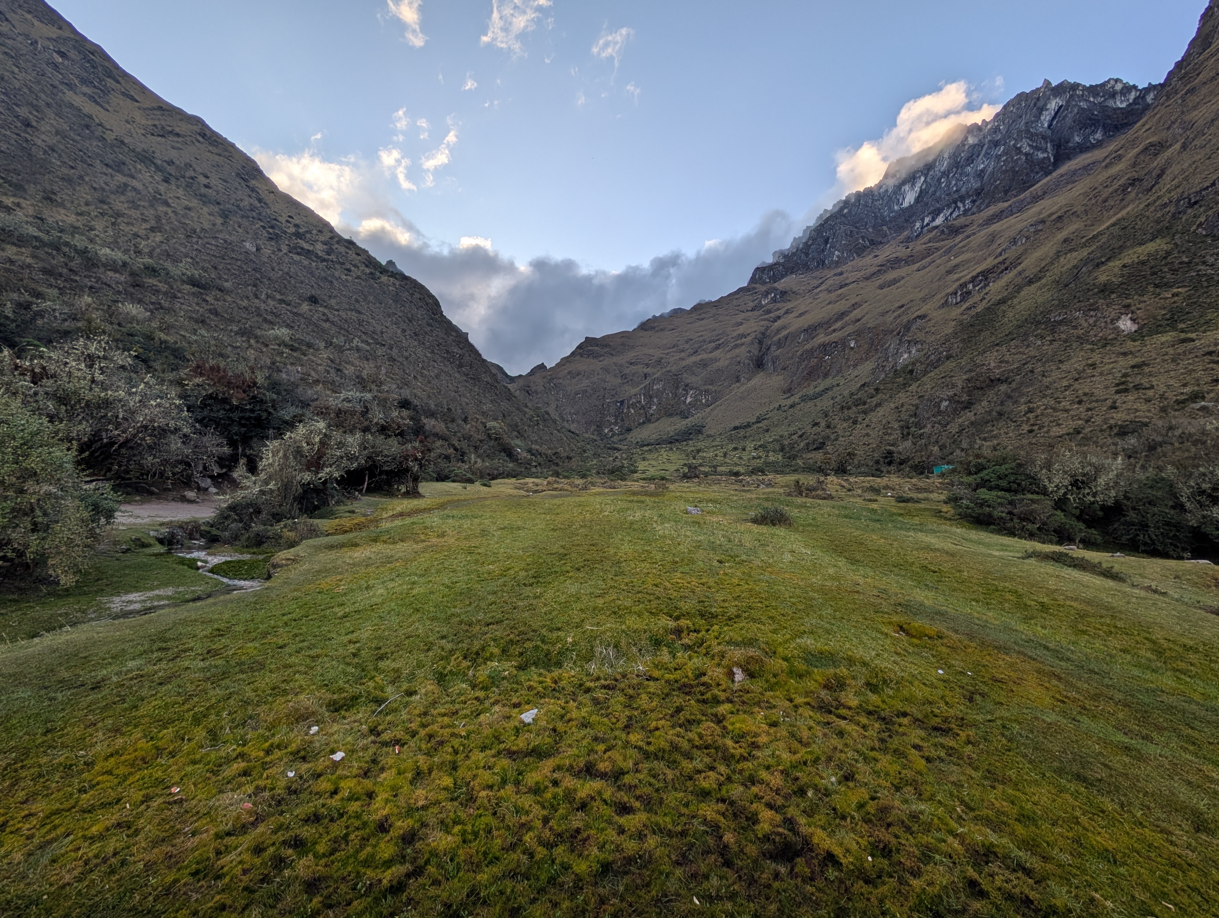
We arrive at Llulluchapampa, our home for the night, just before 5 pm and having climbed about 1,500 ft. since Ayapata. Remember that two L’s in Spanish make a you sound. So it’s pronounced, you you cha pampa. Also remember that bamba or pampa mean plain. This camp is a small flat area in this otherwise very steep canyon. Before ascending to our campsite, I turn around and take another look down the Llullucha canyon as the setting sun turns the mountains to glow.


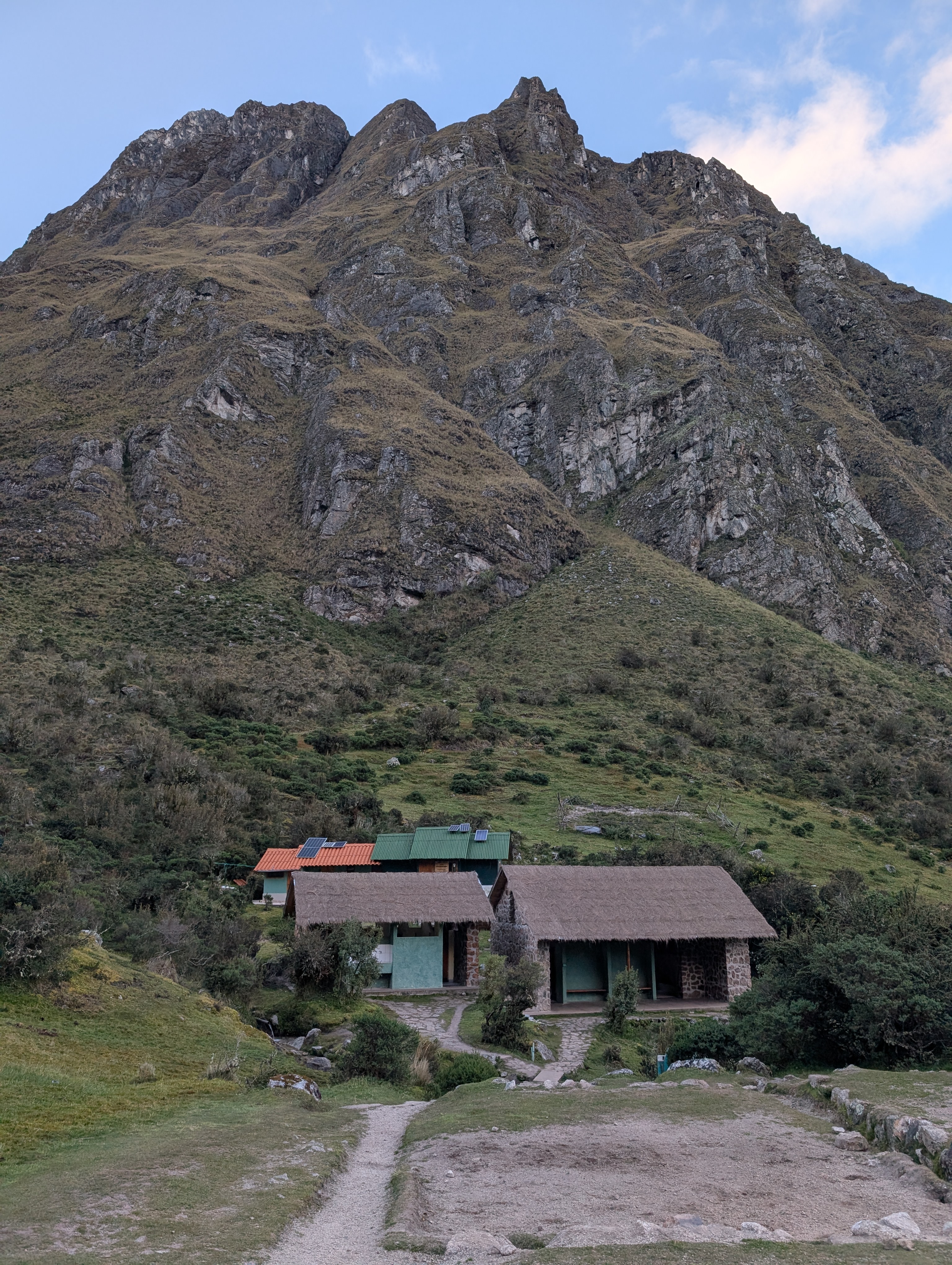
My tent is set up in the penthouse of our small campsite. I’m grateful for my small sit pad because I have to put my knee onto a rock to get into my tent. I change out of my sweaty clothes and get some warm layers on before adventuring across the pampa to the bathroom. The below picture conveys how the steep canyon walls and forest tower over my tent.

I pass yellow Salpichroa didieranan on the way to the bathroom, which as you can imagine, has a unique connection to a long-billed hummingbird. Behind the very nice bathrooms is a building for the rangers. Within an hour of arriving at Llulluchapampa, the clouds descend and engulf us. After dinner, I crawl into my tent still thinking about ancient Inca cat friend.


2 thoughts on “Salkantay Inca Day 3: Paucarcancha Ruins, Jungle Flower Parade, Joining The Inca Trail At Huayllabamba And Llulluchapampa Camp”
Comments are closed.