Sunday, January 18
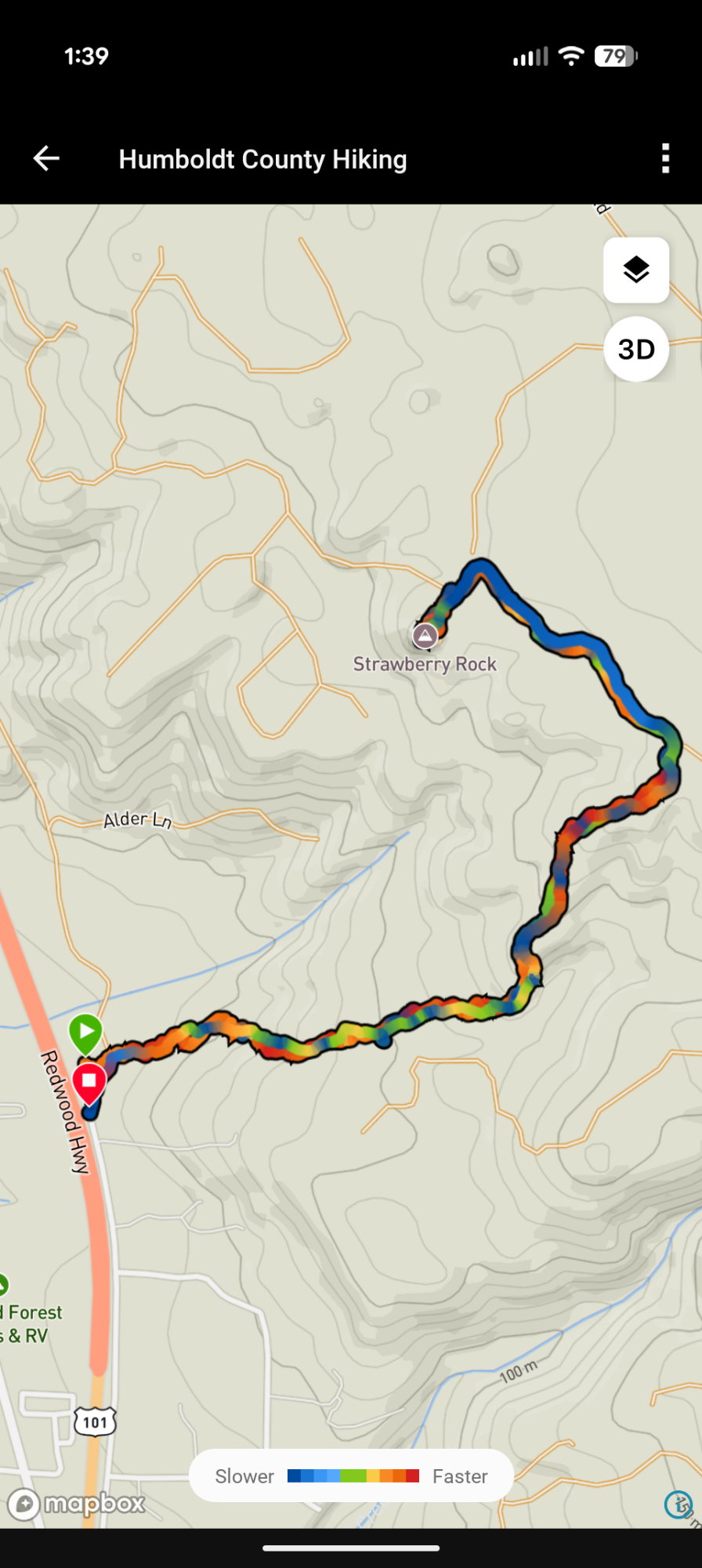
Start/Stop: Strawberry Rock Trailhead/End of Trinidad Frontage Road
Unceded land of the Yurok
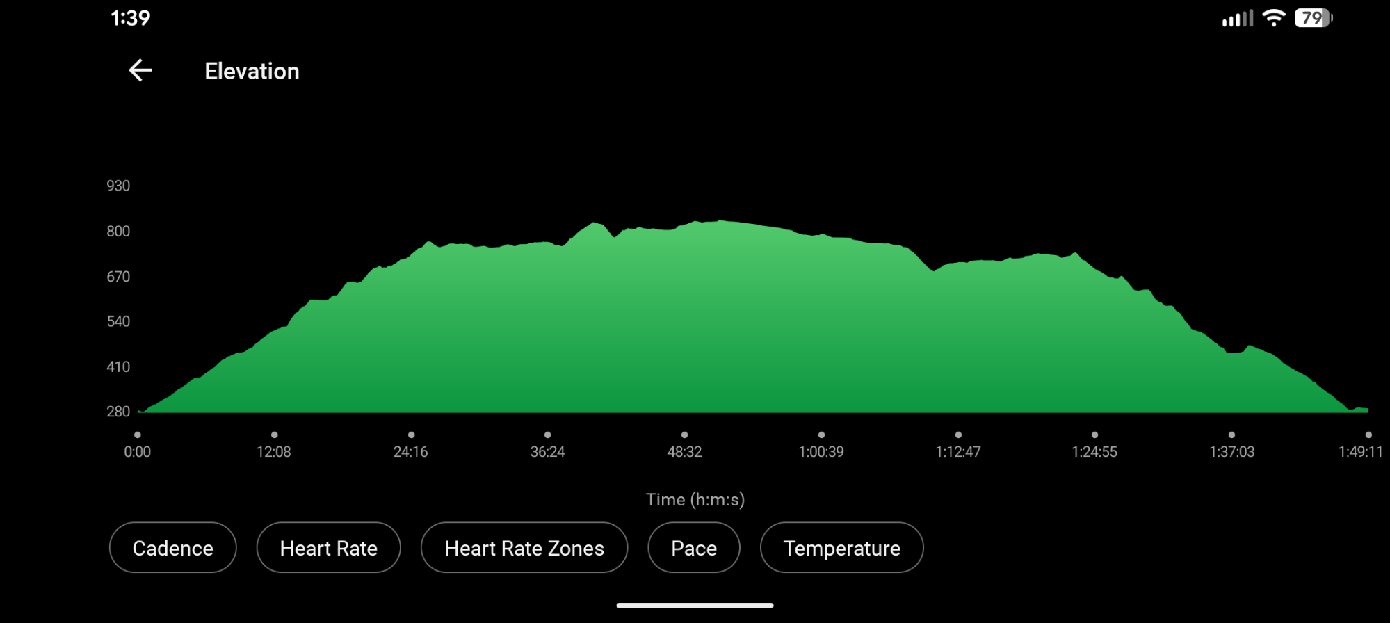
3.3 miles
705′ ascent
695′ descent
max elevation 835′
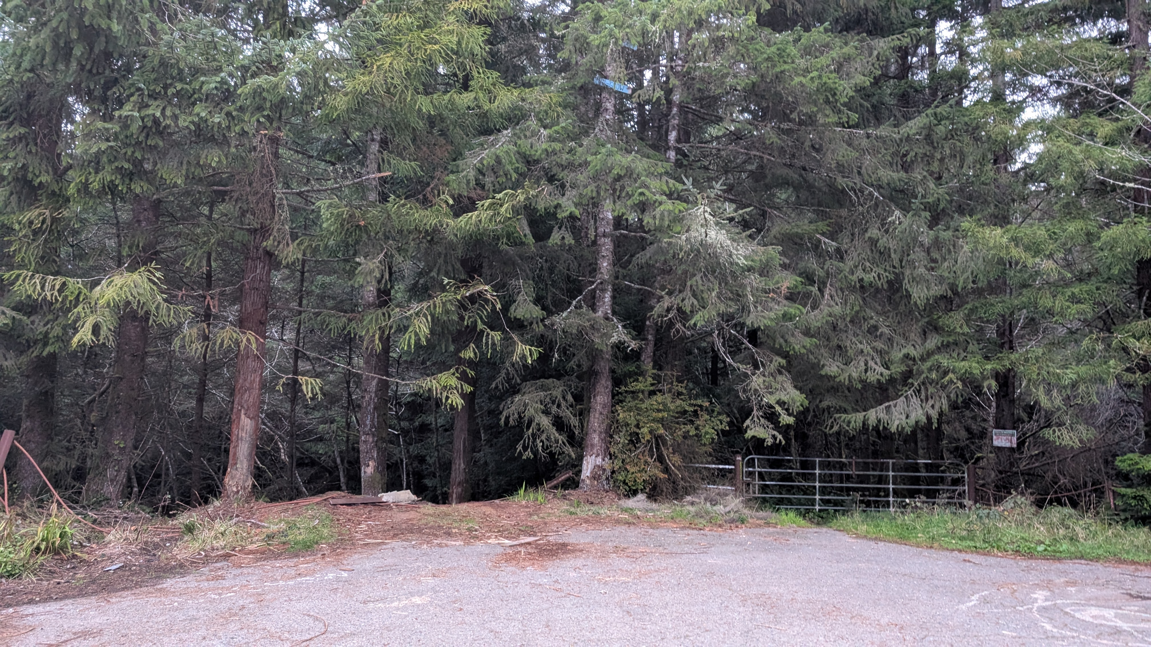
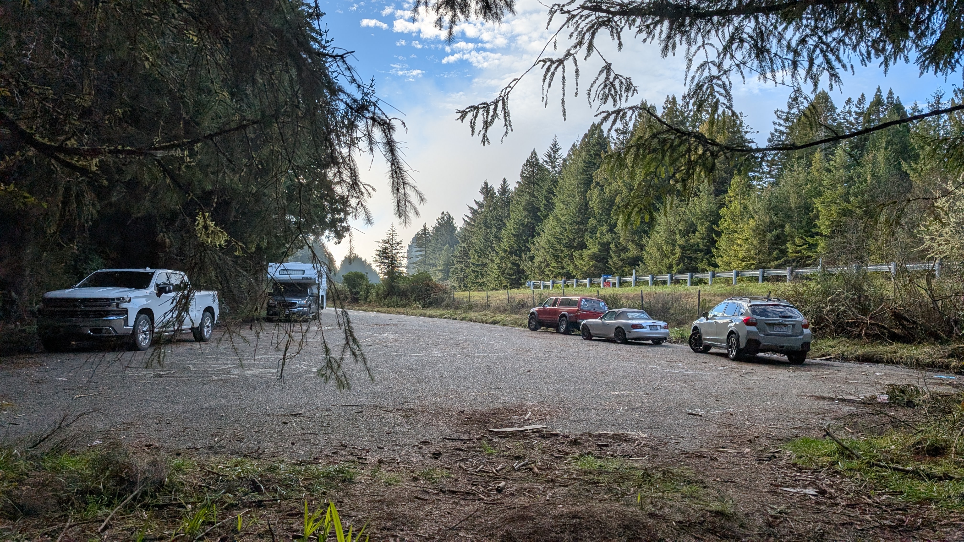
The fog is so thick that I almost cancel my hike. But what the heck, maybe I will luck out. I hit the trailhead just about the time of the sunrise and there’s a vehicle parked there using the area as a camping spot. There are no signs and or obvious markings of a trail so it’s easy to think you’ve arrived at the wrong spot. I walk to the edge of the road and then the trail tread appears heading off into the forest.
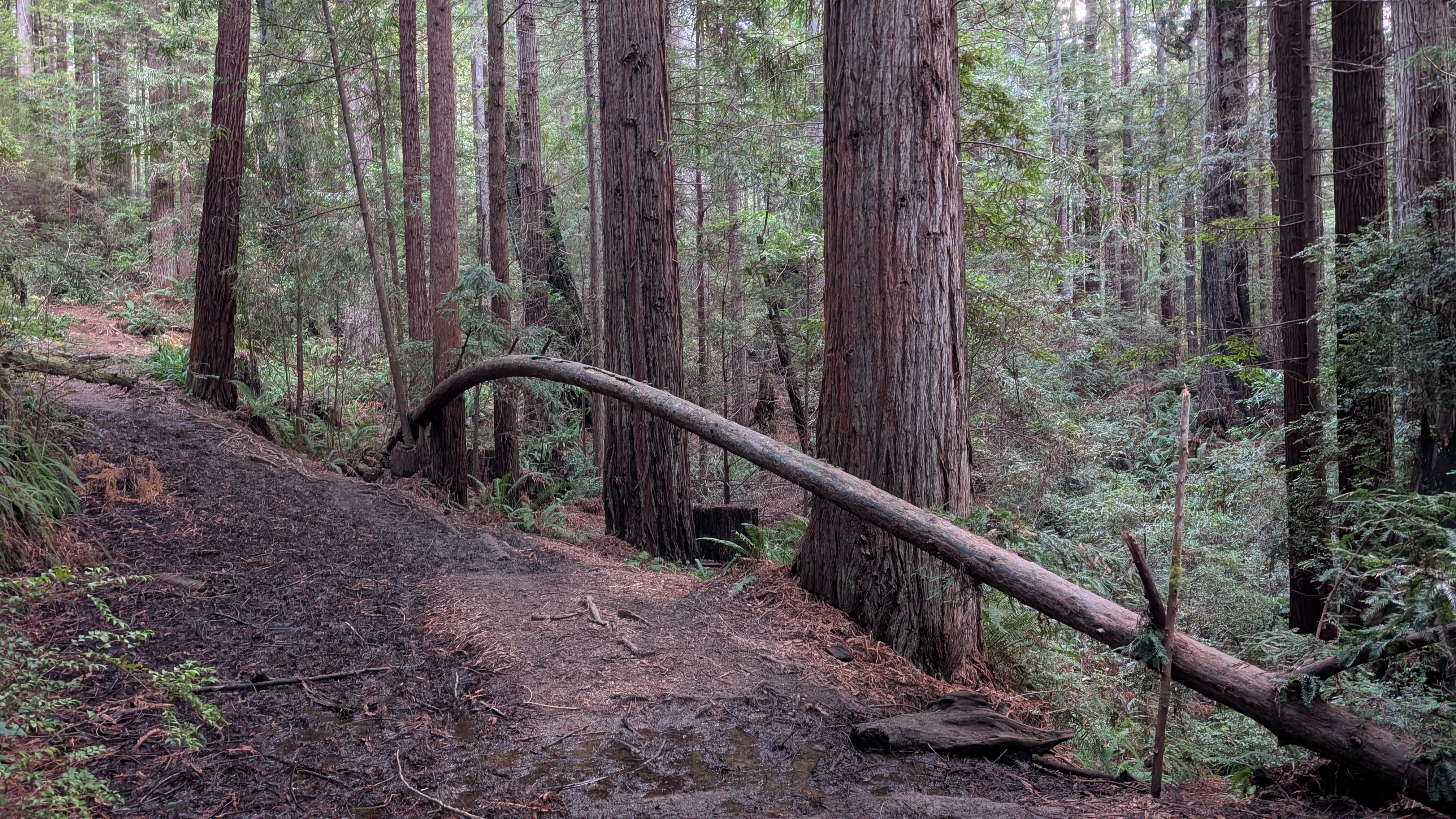
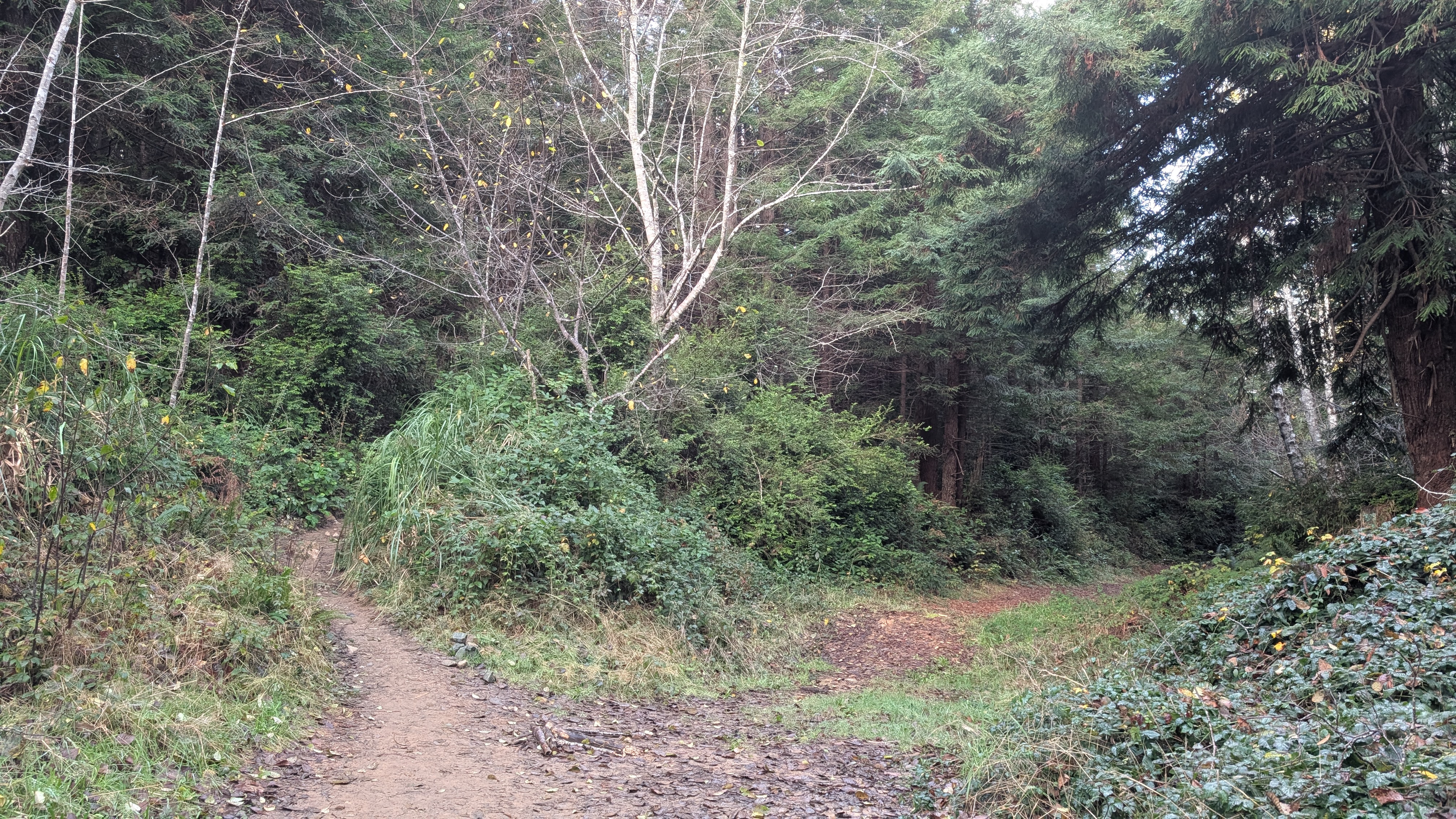
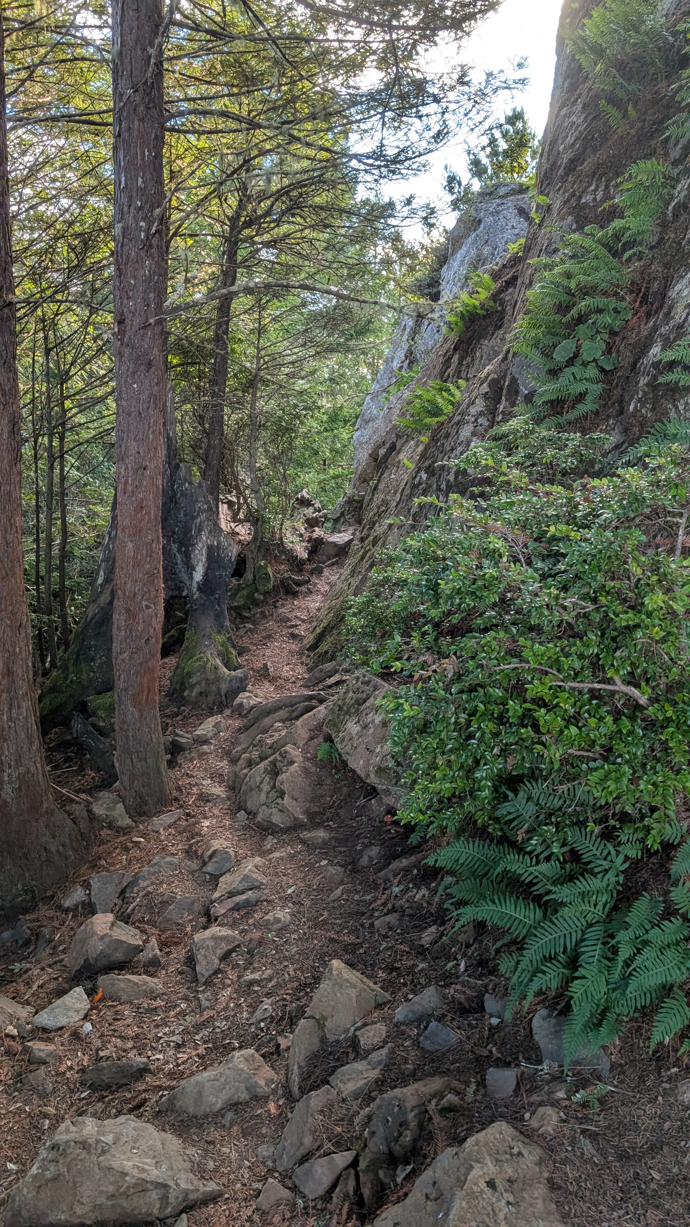
I immediately start climbing and luckily this obviously very muddy trail has dried slightly in the recent sunny days. I kind of weave my way through and around the muddy patches wondering if I should have worn my boots. It’s dark enough in the forest that I take my hat off and attach it to my Zpacks utility fanny pack.
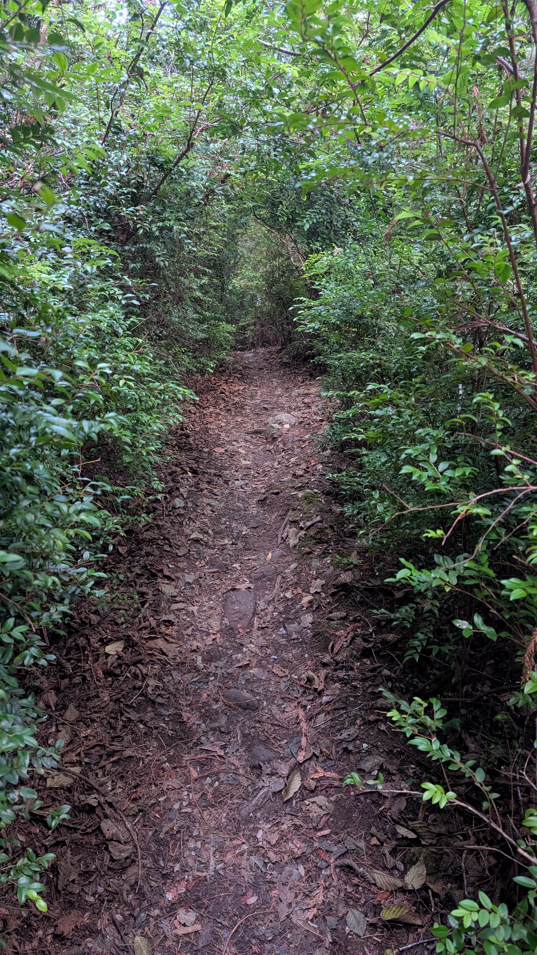
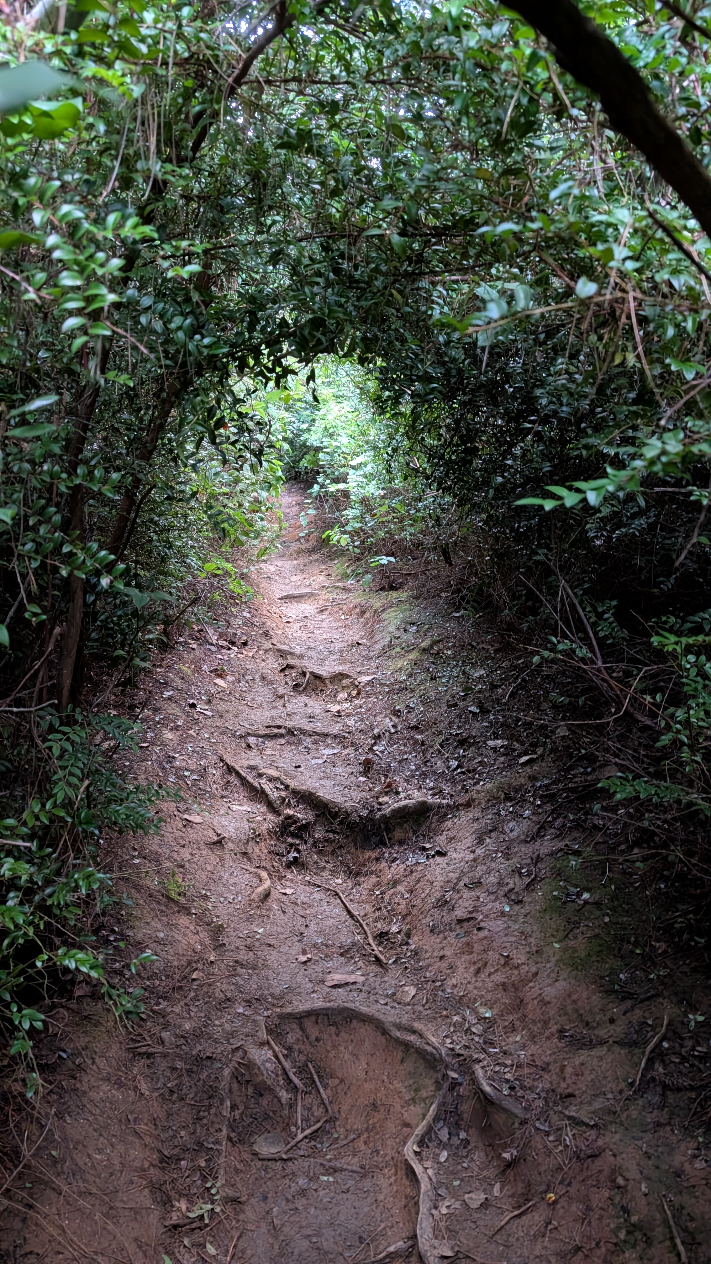
I can hear a wrentit calling from the direction of the flowing creek to my right. As I get closer to the ridge, the trail reduces to a tunnel. I hunch over and maneuver through the segments that periodically open up enough that I can stand upright. The climbing feels good and I push the pace to generate warmth on this cold morning.
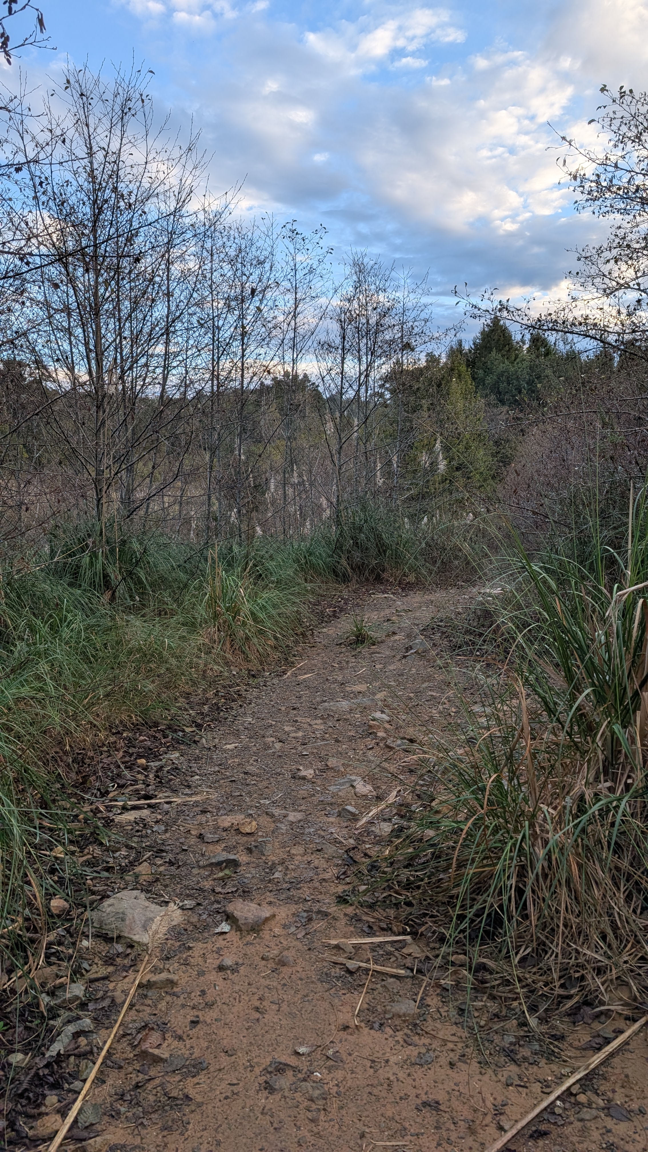
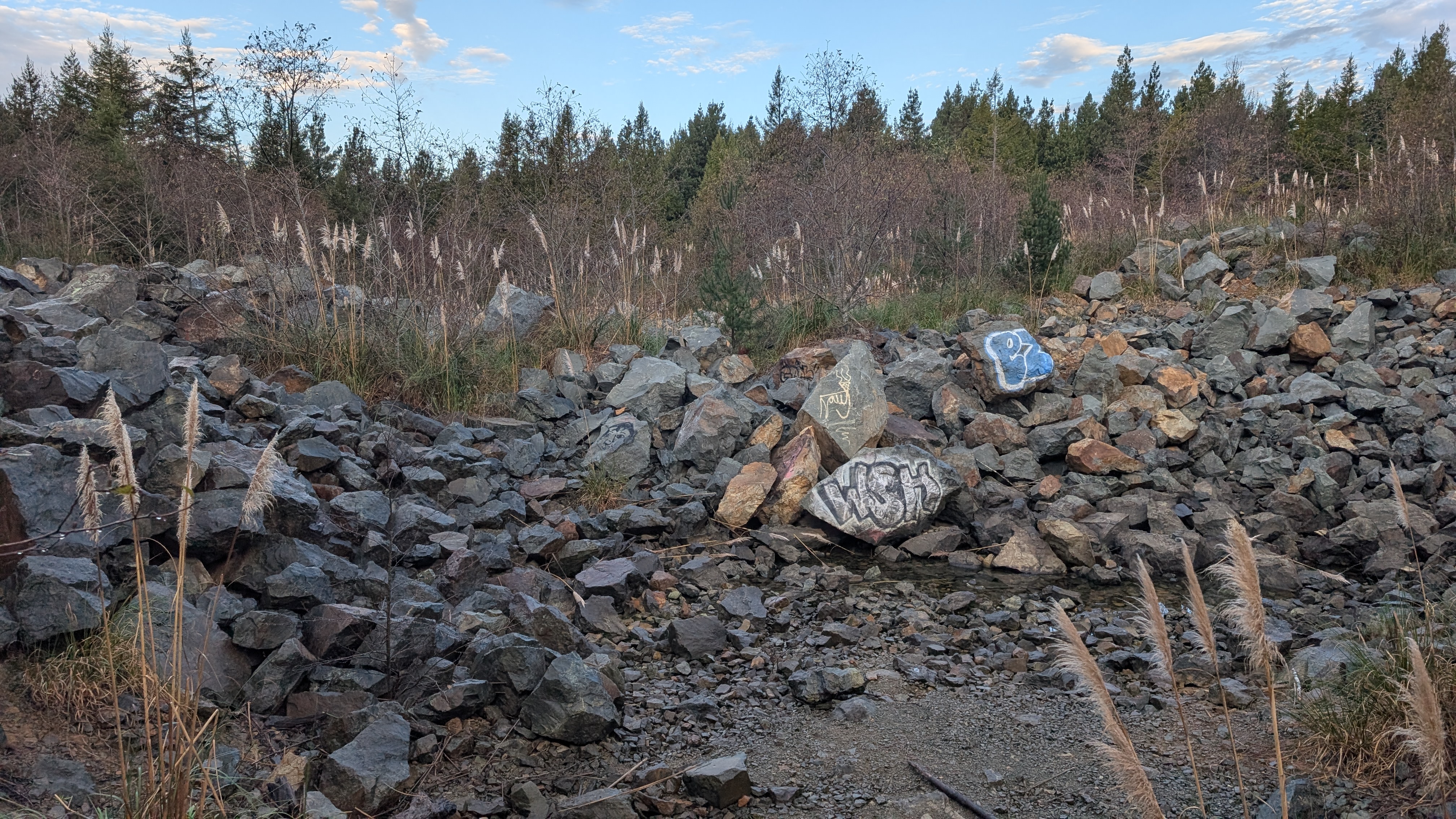
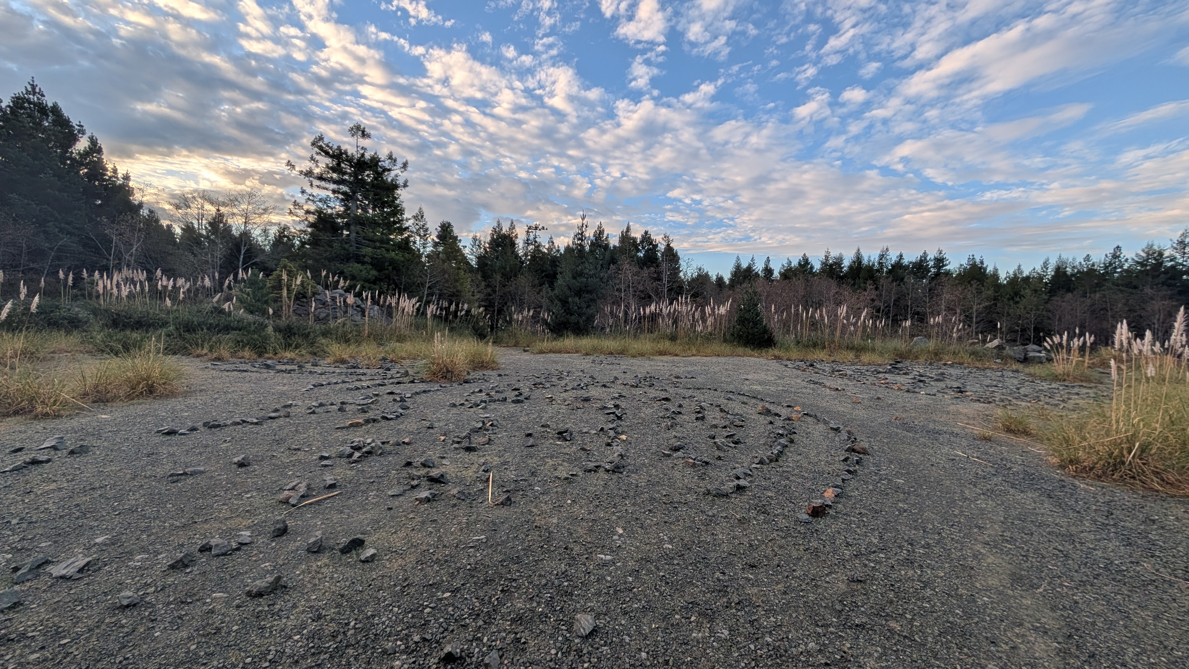
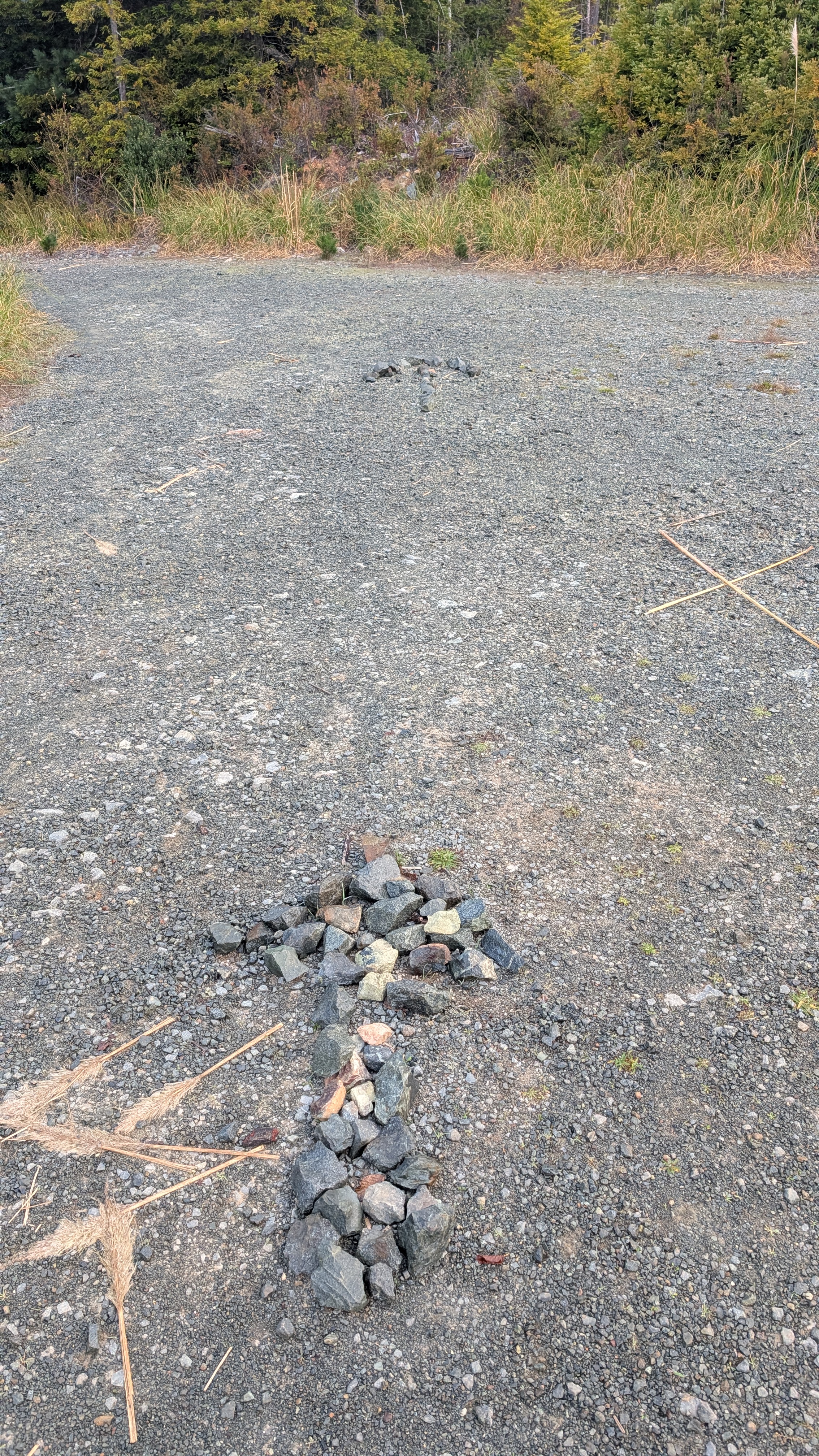
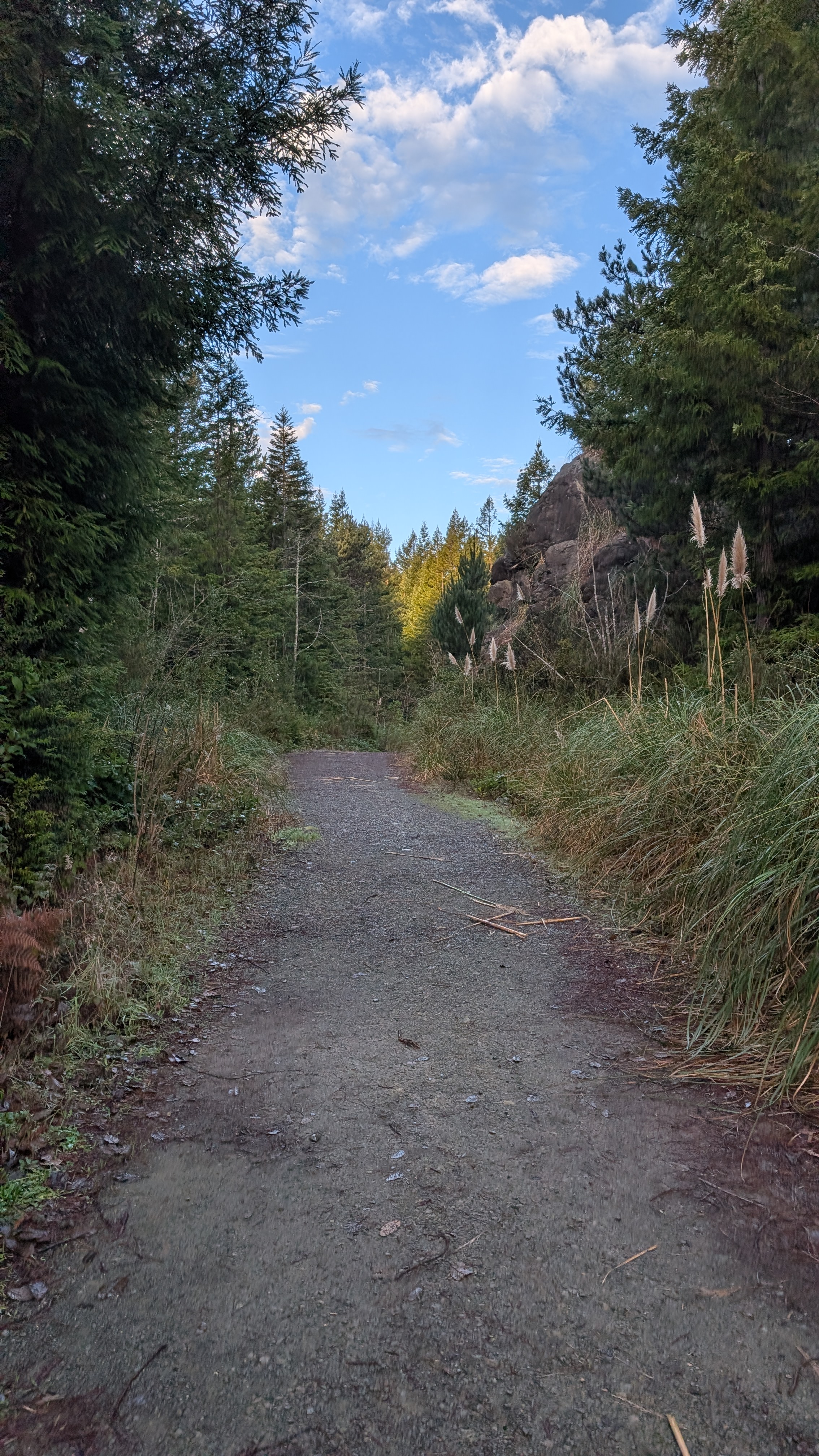
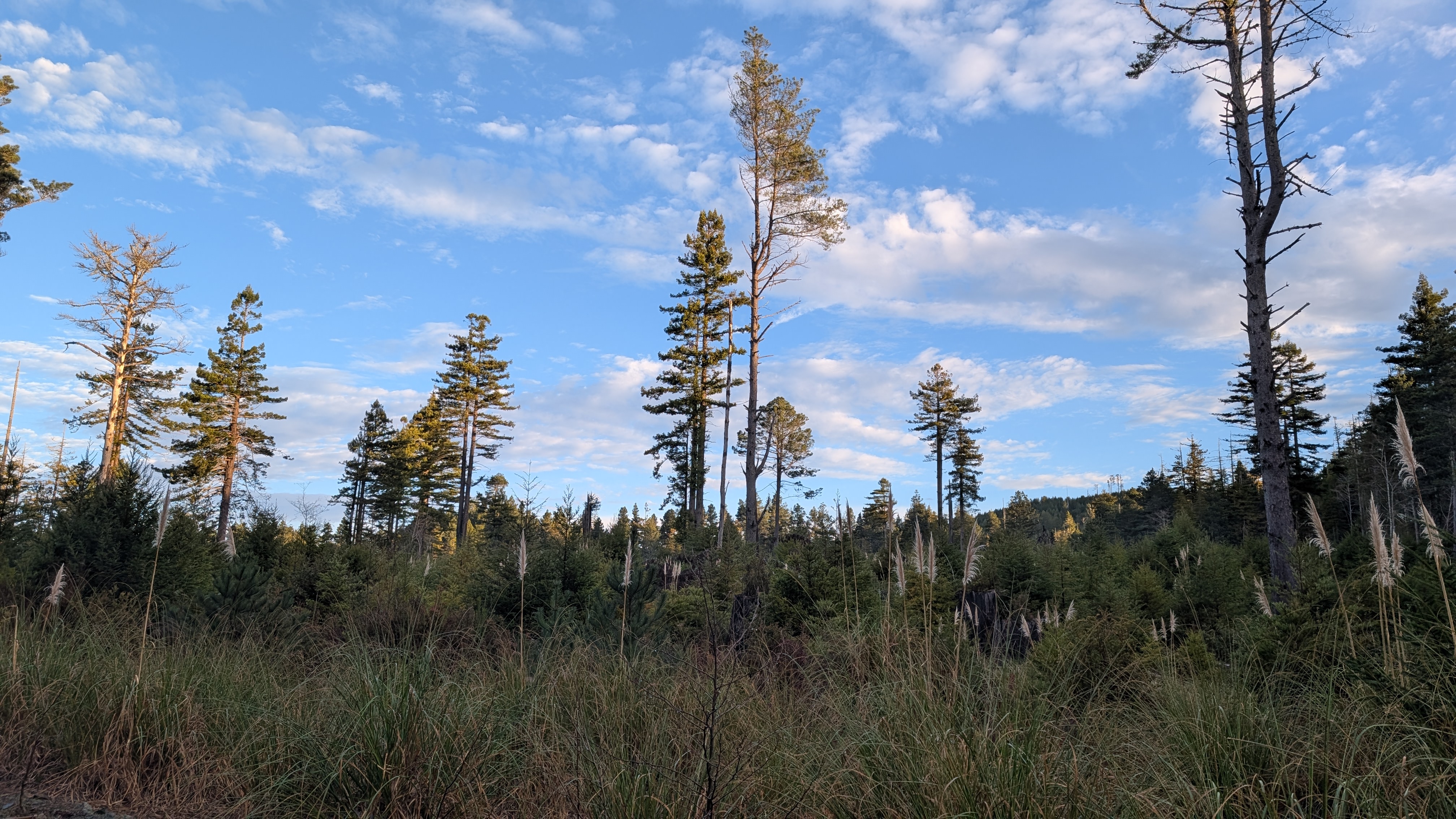
I emerge into blue skies and pampas grass-filled logging scars. I pass a large outcrop of rocks before connecting to a network of roads. I see that the peoples have been out placing rocks in ceremonial-like circles.
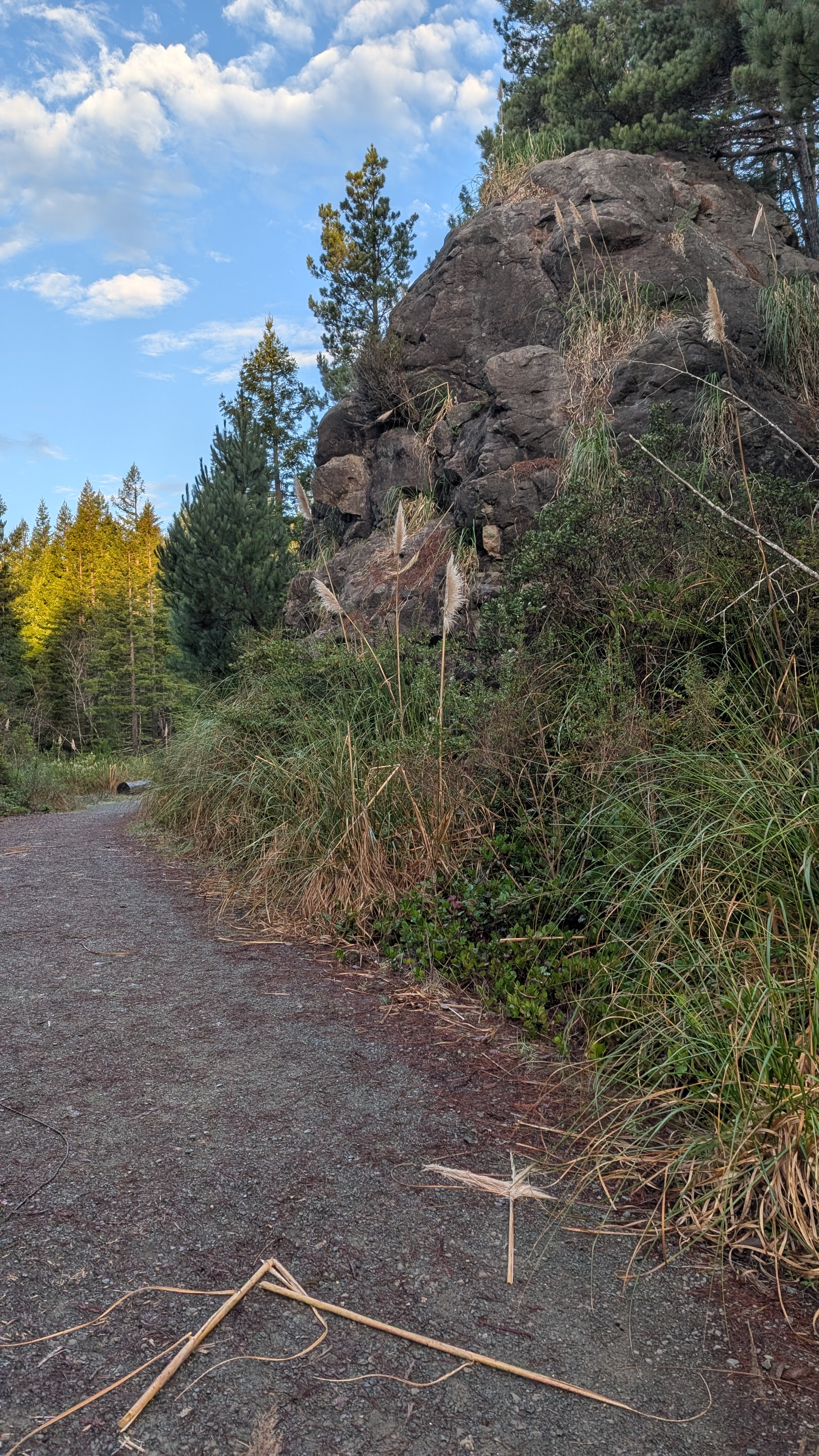
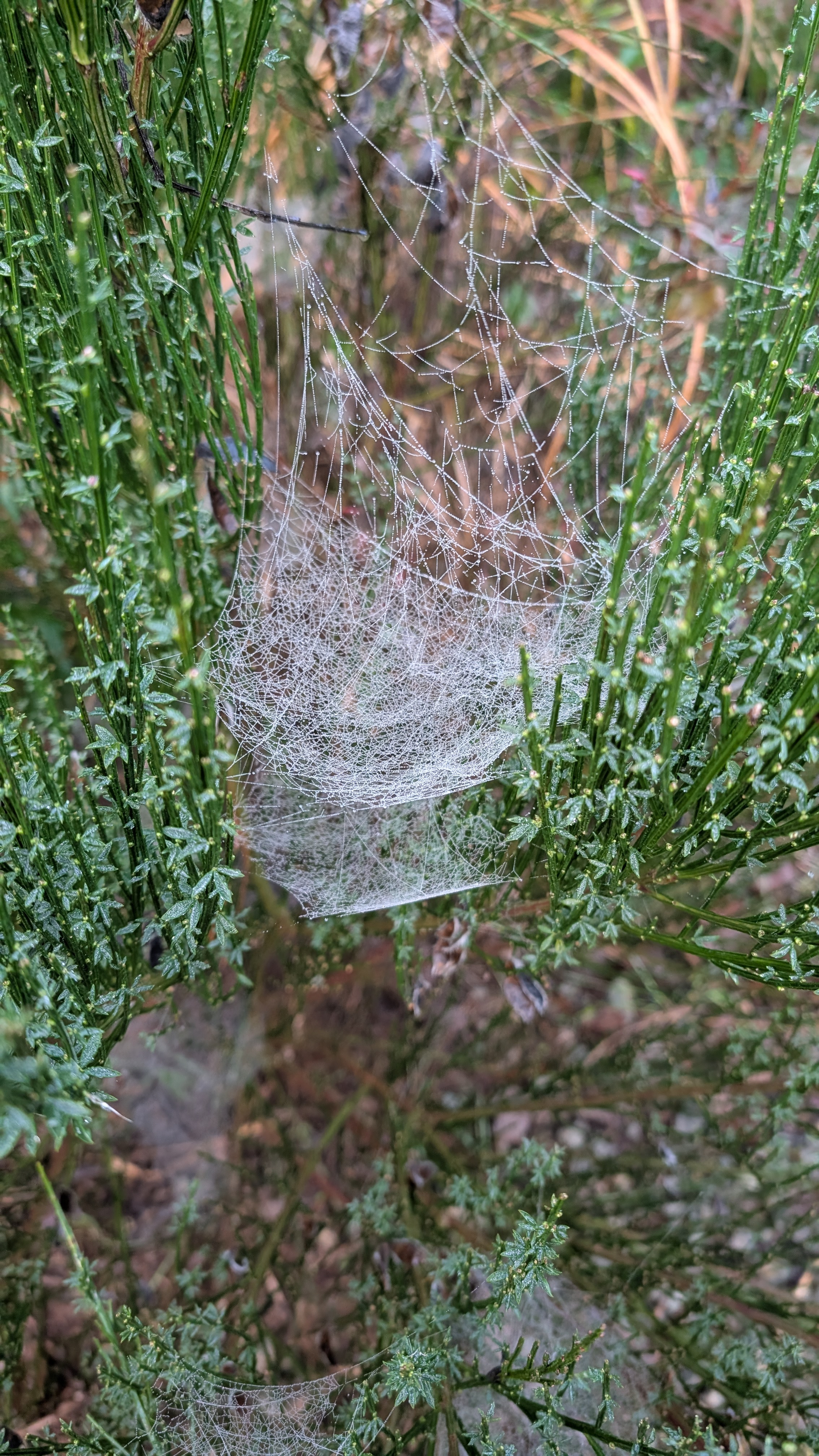
I follow the arrows and fork to the left. I pass dew-filled spider webs and a giant sea stack, baby strawberry rock.
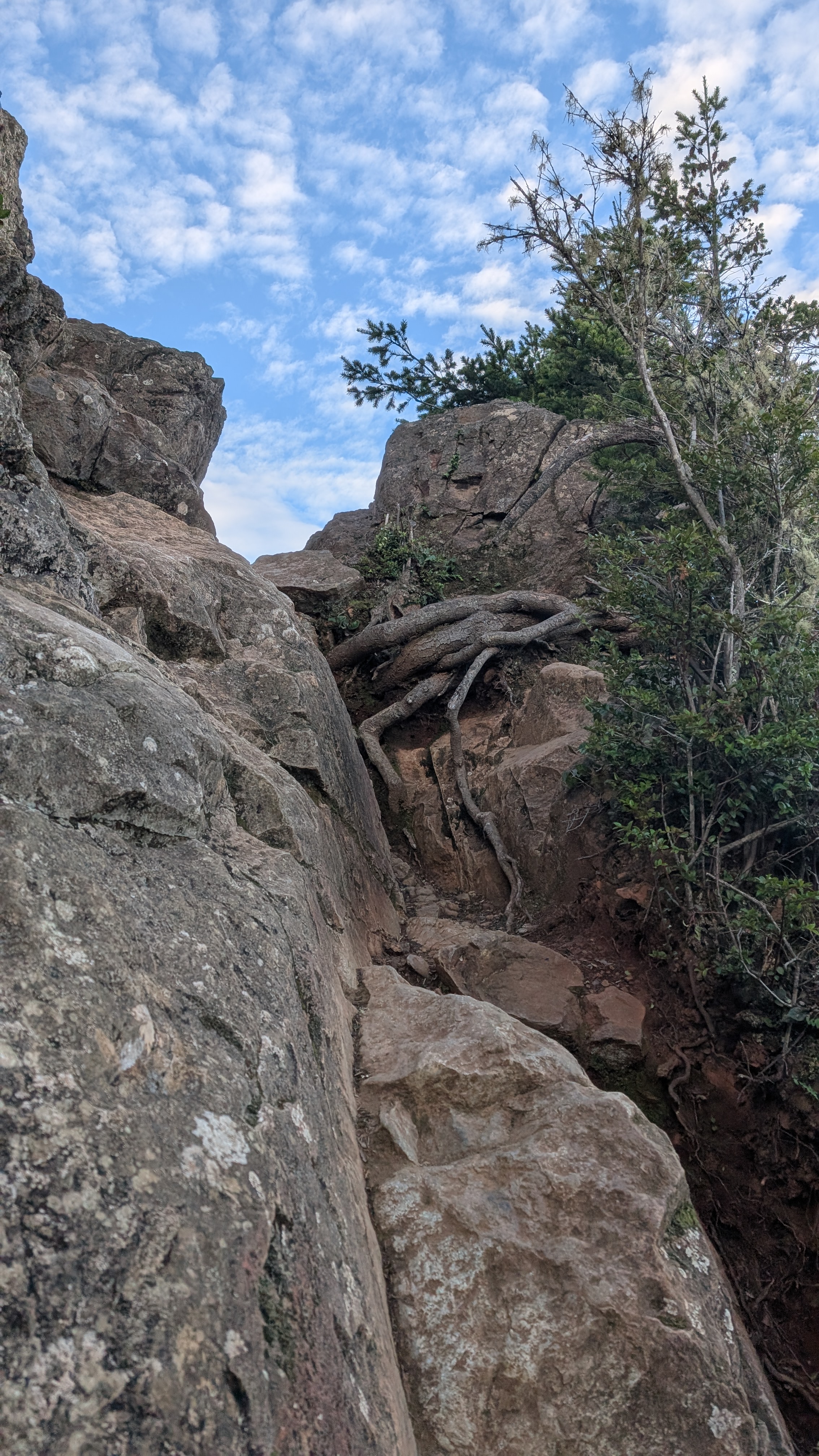
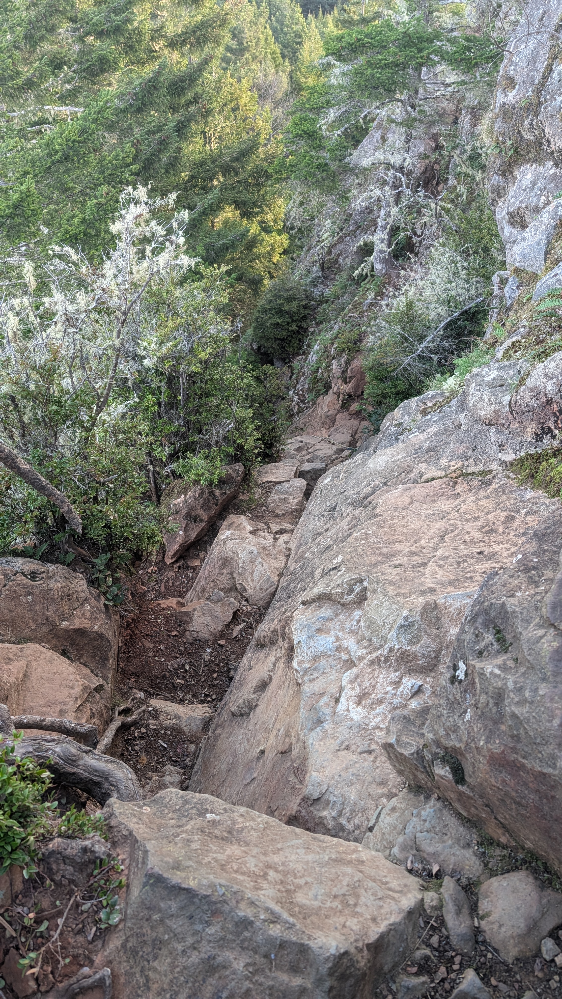
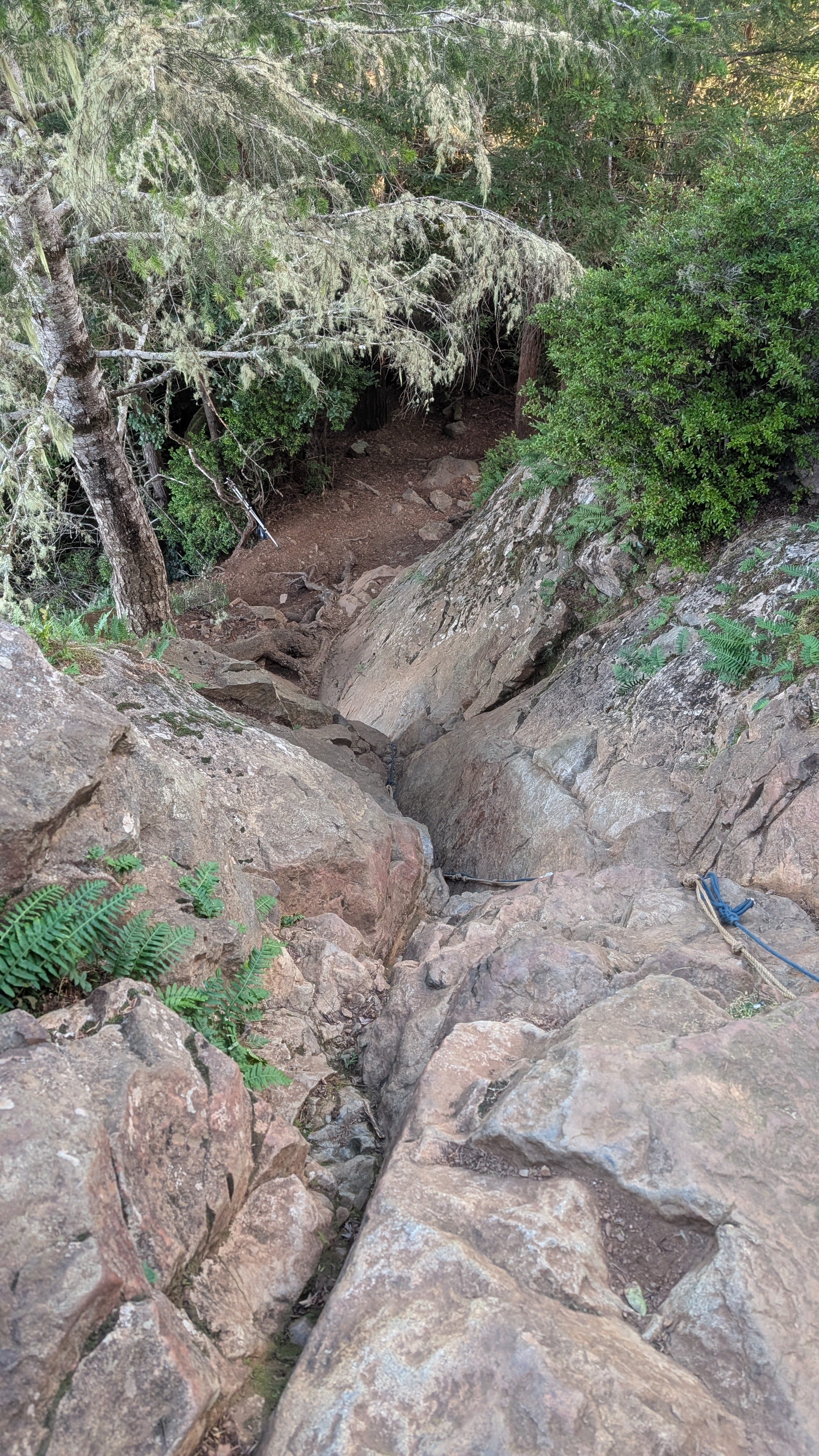
A hairy woodpecker bids good morning as I pass more clear cut areas. I fork left again and follow the road a short distance before a trail heads off its edge to the left. I climb up to a point where the trail forks. I veer right and hike up through a tunnel before emerging at the side of Strawberry Rock. This is a nice view but I need to go higher. There’s a couple ropes to help with climbing but maybe there’s an easier way?
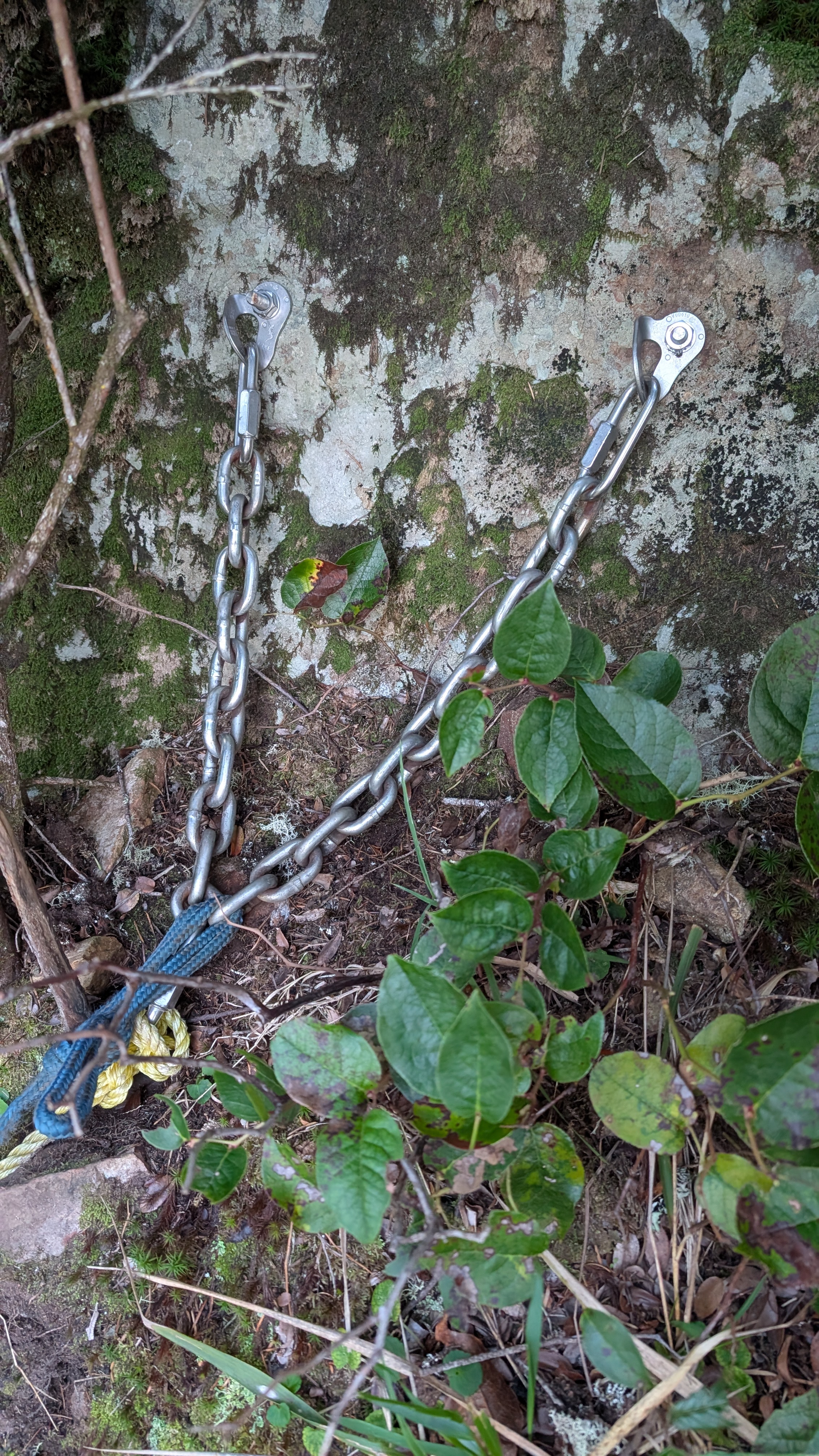
I decide to head back to the fork in the trail and see what heads off to the left. It is short lived as I circle to the East side of the rock. I scramble around the rock’s edge and end up back where I had just been with the ropes. I drop my poles and fanny pack. Ok, ropes it is. They’re mostly not needed on the way up but I can see that they will be helpful on the way back down. I give them a strong tug to test their viability.
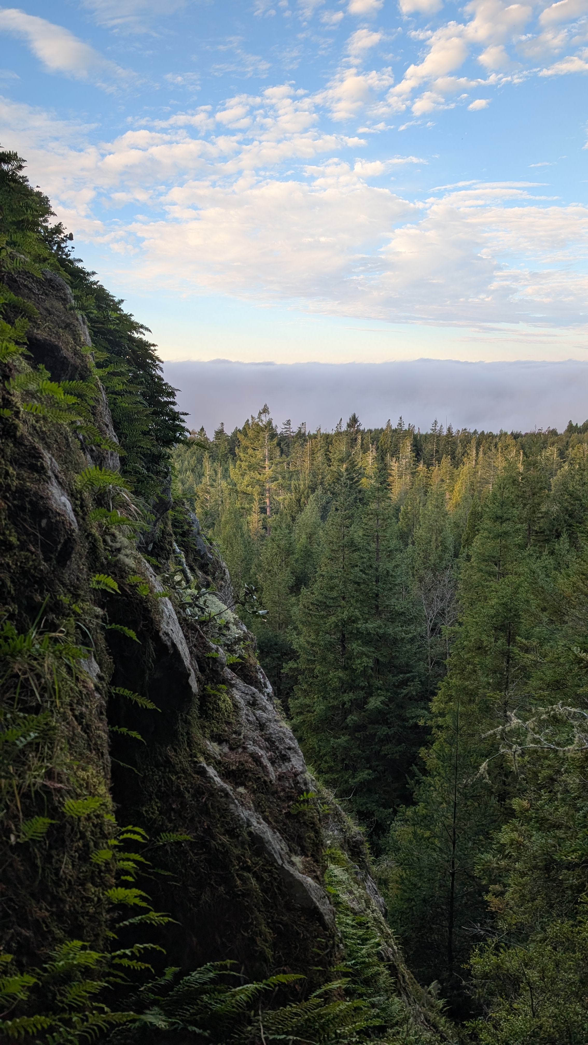
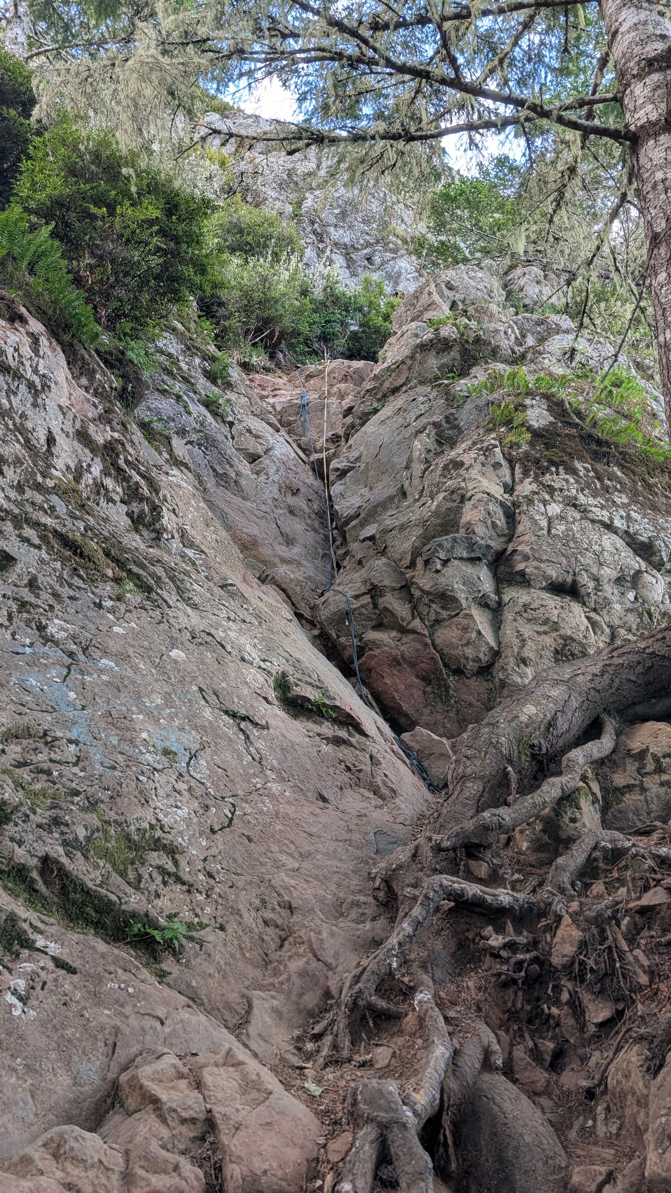
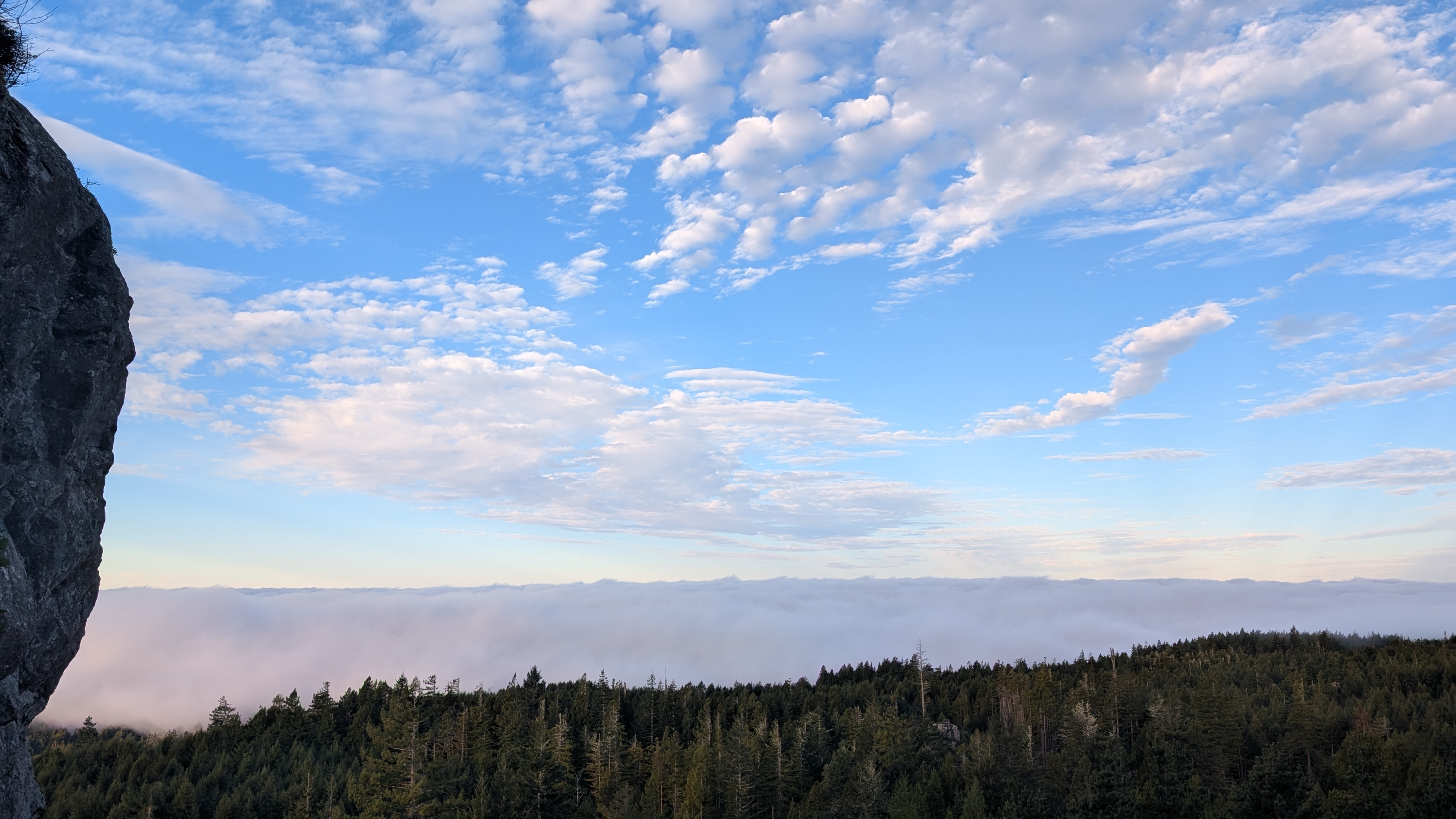
I climb up the rock face fairly easily by wedging my foot in the crack. I get up to where the ropes are bolted into the rock and then climb the next little section. It’s about 8:20 am and the sun is putting a golden glow across the sky. The thick fog bank is holding firm along the coast line.
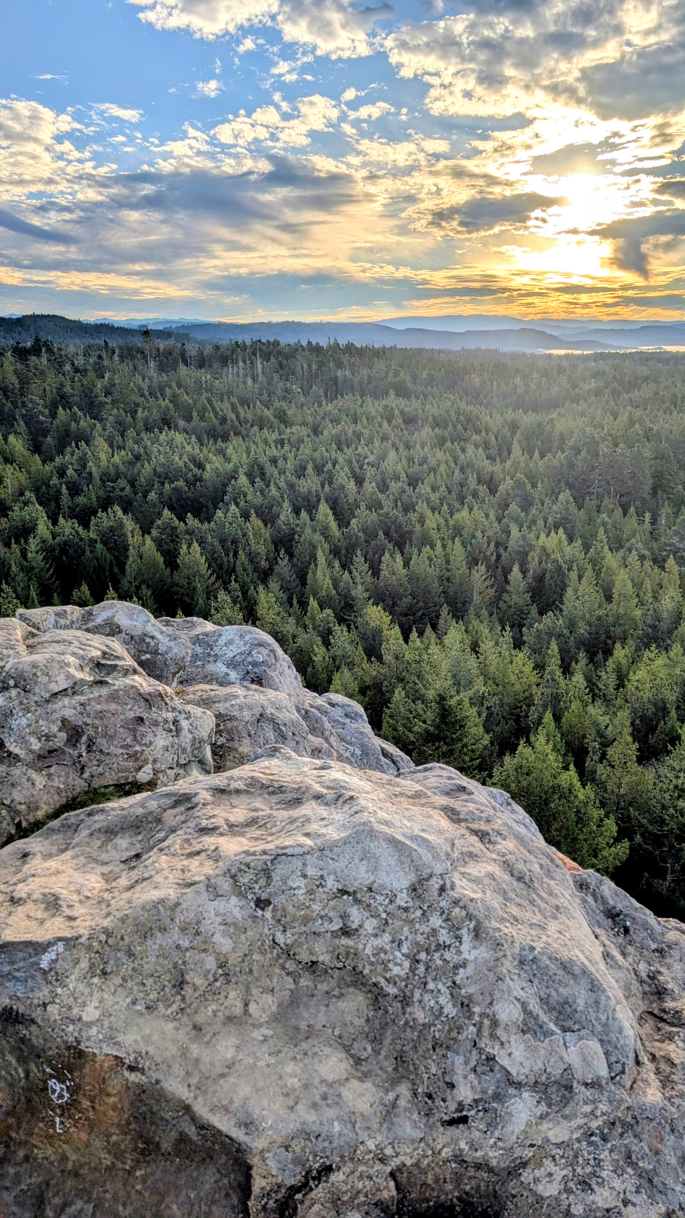
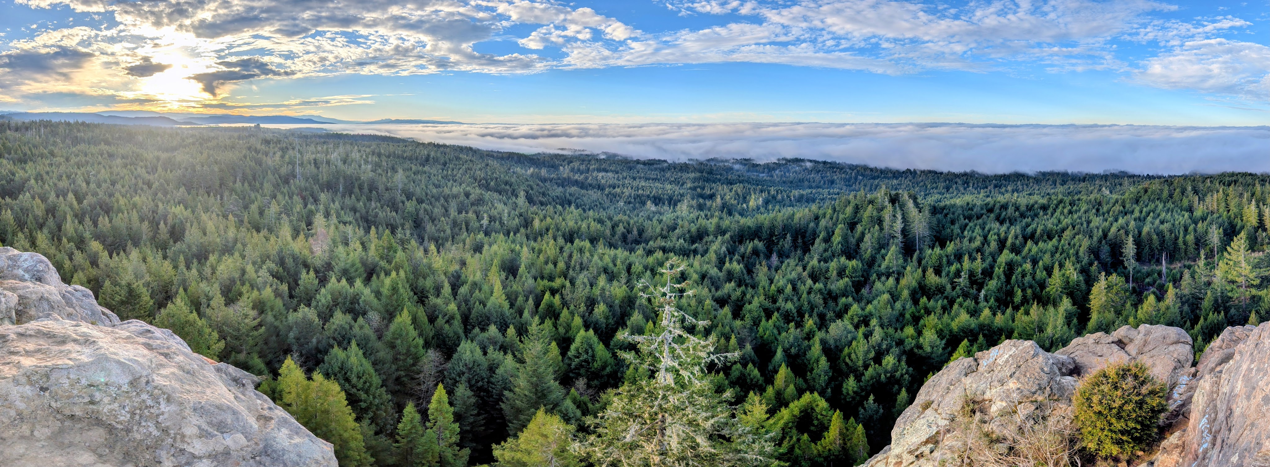
I climb one last section of rock to get to the very top at 835 feet. I’m treated to a spectacular view in all directions. But I’ll have to come back again when I can look out on the ocean. I spend about 20 minutes atop Strawberry Rock before deciding that it’s time to see if I can get down.
Strawberry Rock is an uplifted sea stack composed primarily of greenstone which exists within the larger sedimentary Franciscan Complex. A sea stack generally is a vertical column of rocks that is left behind when the layers around it erode. Greenstone is a green-colored metamorphosed rock that usually contains chlorite, hornblende, or epidote. The Franciscan Complex lies along the California Coast where oceanic crust and sediments are scraped off from the subducting plate. Strawberry Rock is not just a landmark but a site of cultural significance to the Yurok Tribe. “This rock, and the trees … are spiritual beings to Yurok, and you need to respect those values without question while within our homeland…” (from a 2013 Times Standard article). There are ongoing conservation efforts by the Trinidad Coastal Land Trust and you can read more about here.
Above: The view to the North
Below: South to West panorama
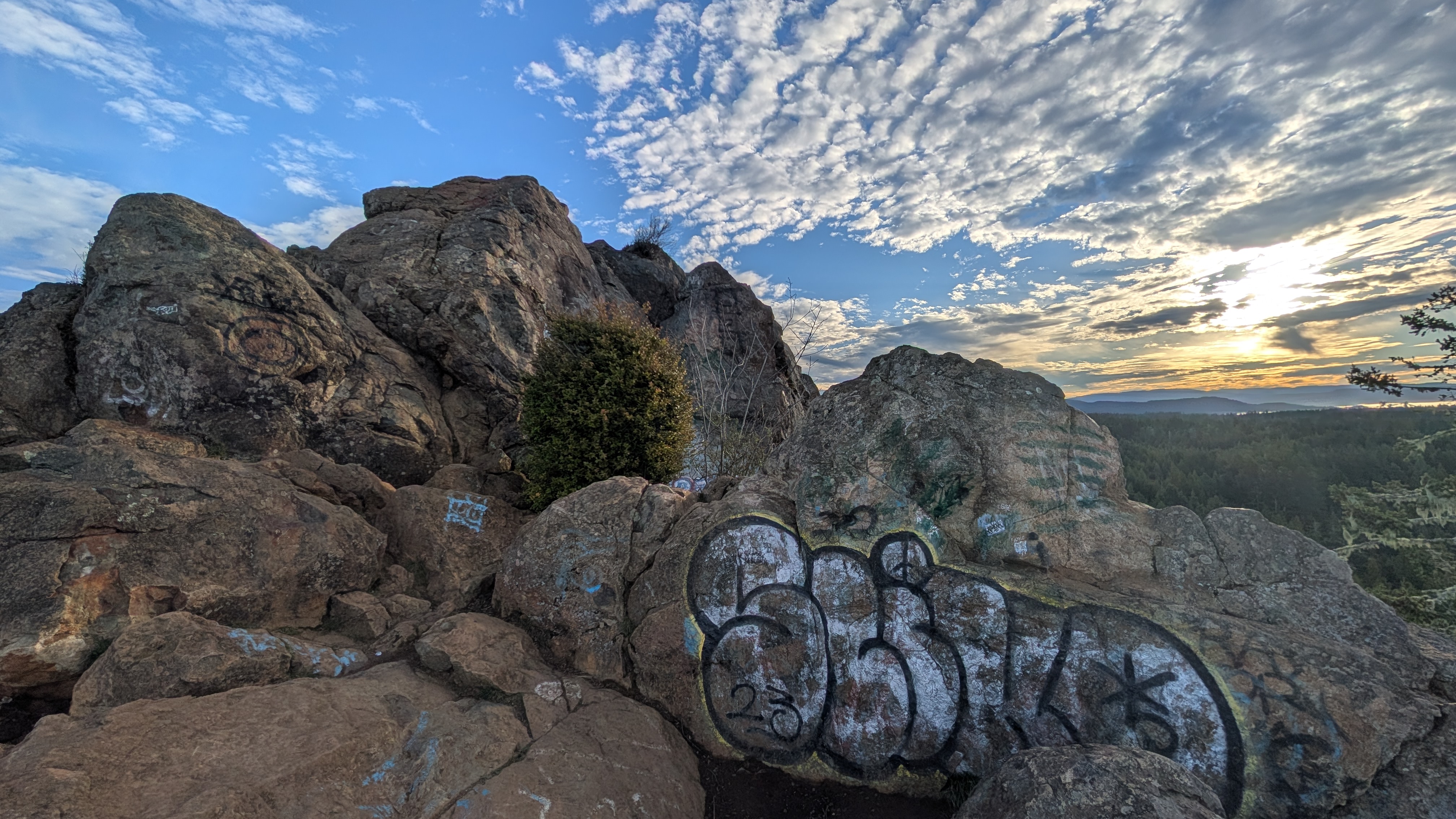
Unfortunately, there is a lot of graffiti on the rock.
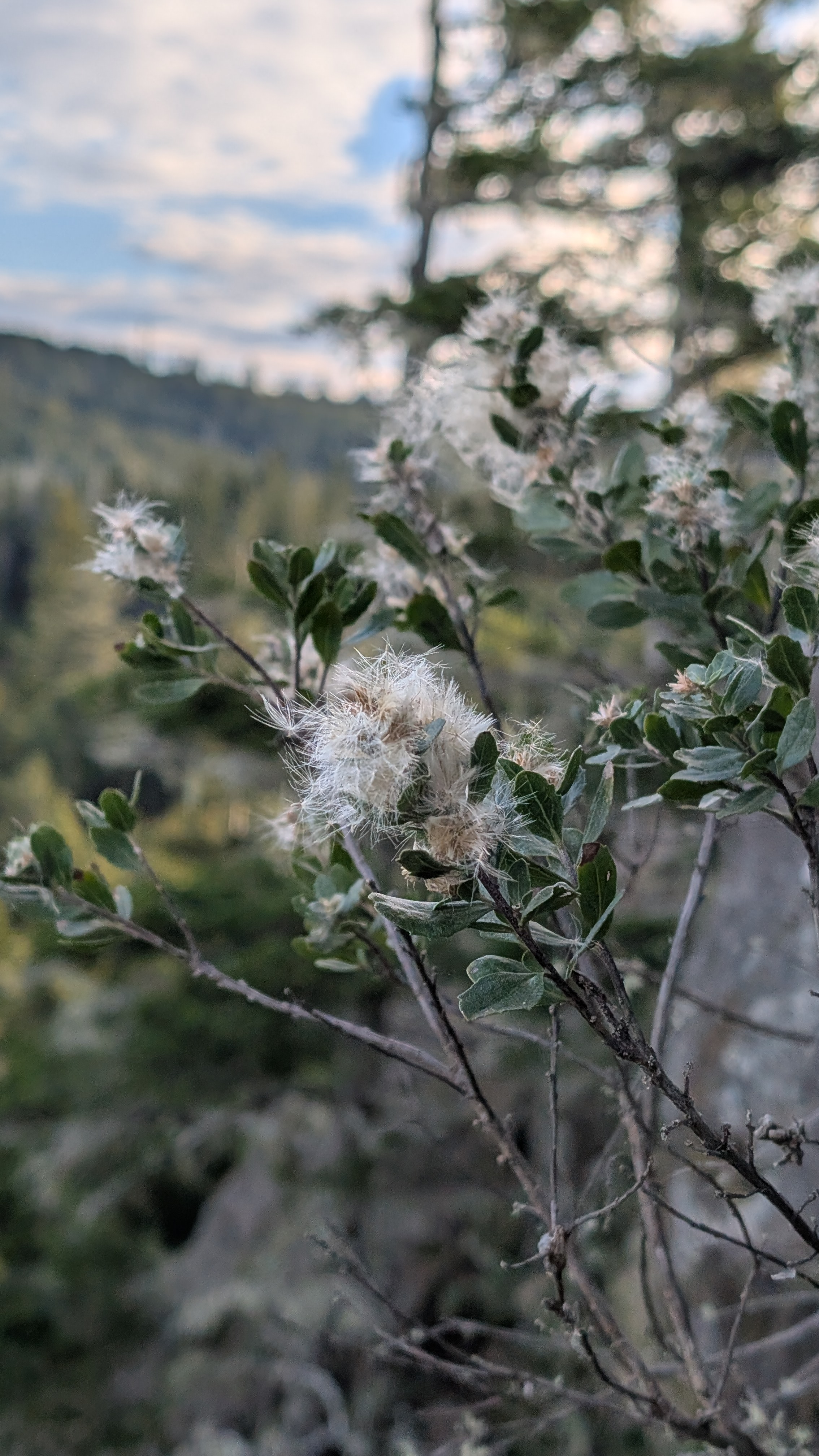
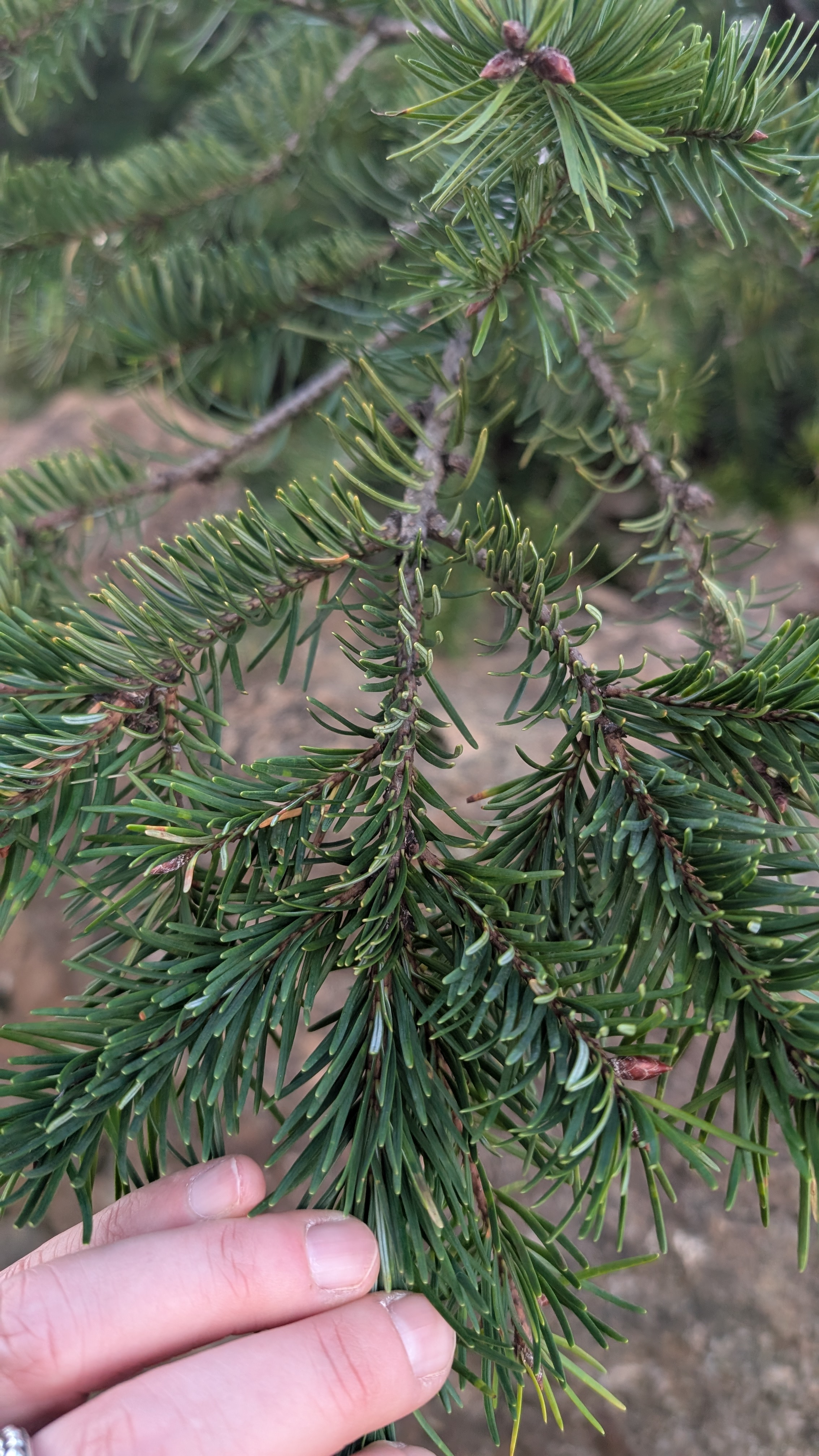
Plant diversity: Coyote brush, douglas fir, ferns lichens, coast redwood, salal.
Luckily, the descent goes without incident and I arrive back at my poles and fanny pack in one piece.
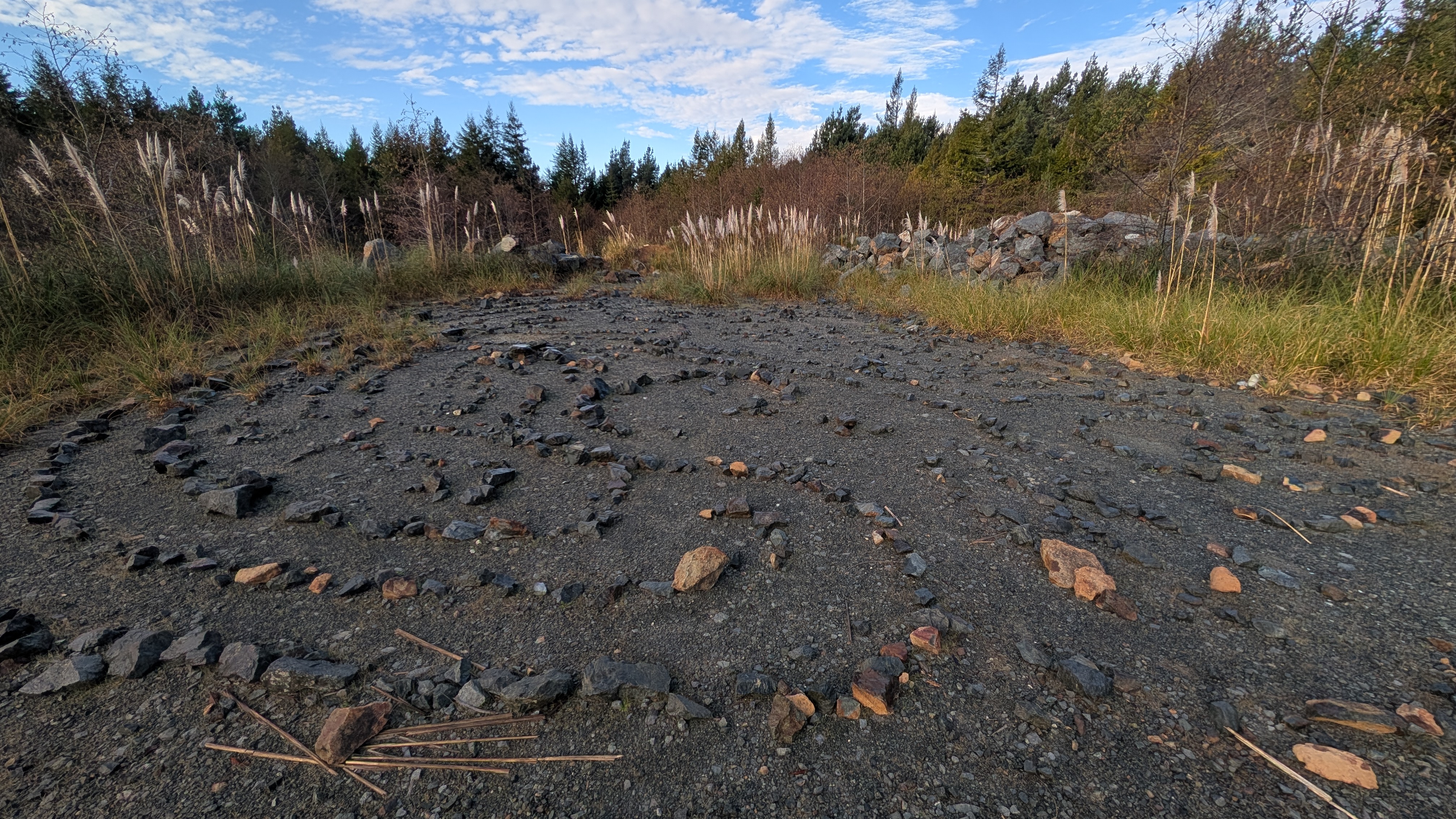
I make quick tracks back down the mountain to the open area where people have been making their rock circles. Hmmm, rituals anyone? A song sparrow has much to say about the whole situation among the tall pampas grass.
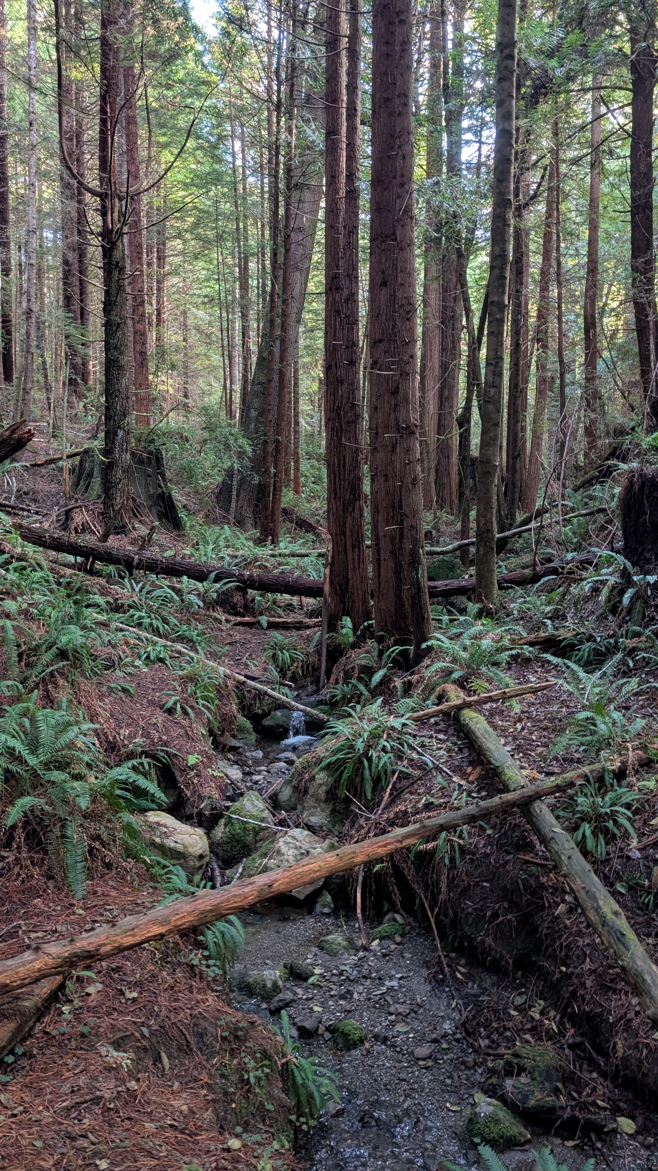
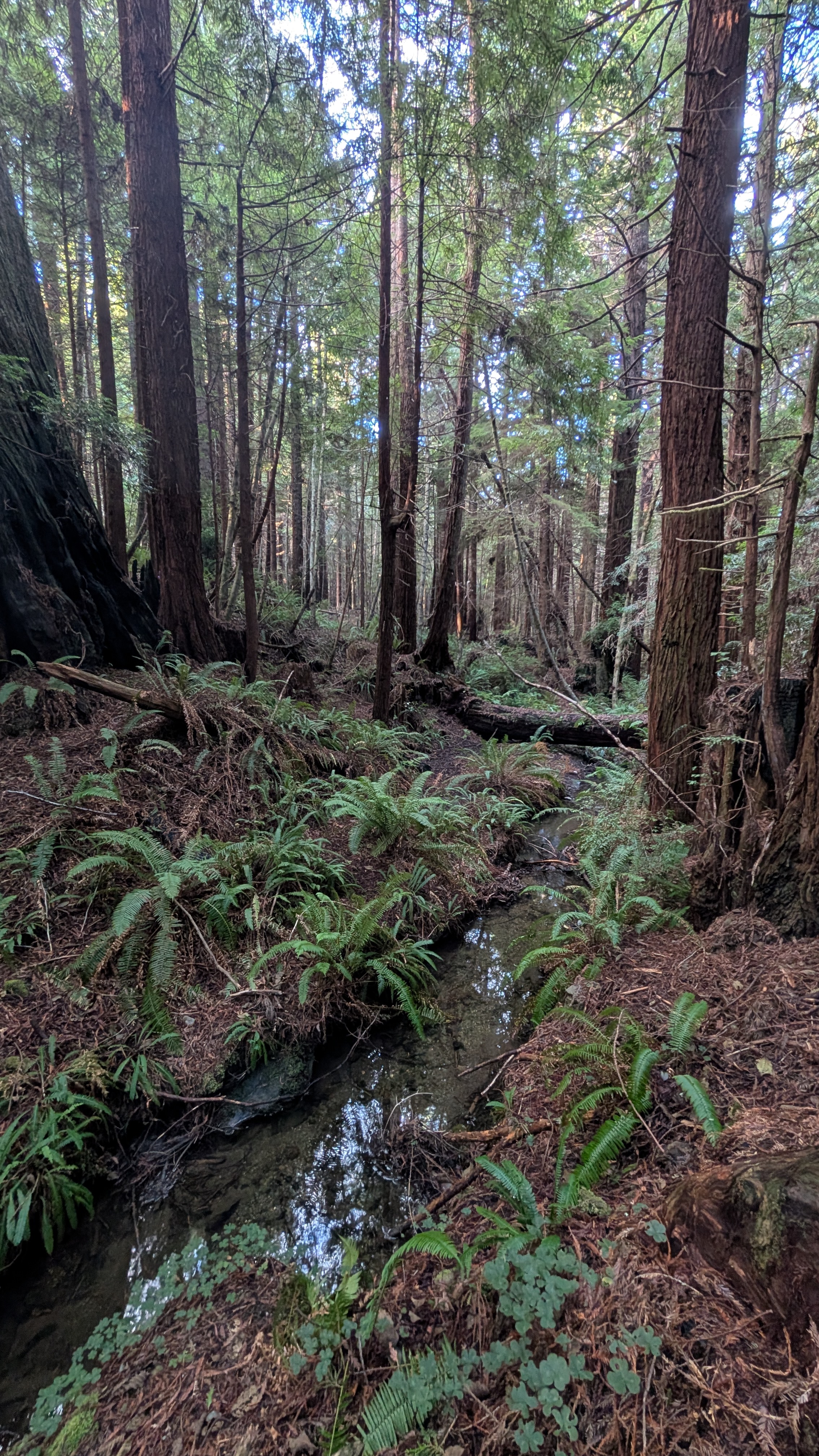
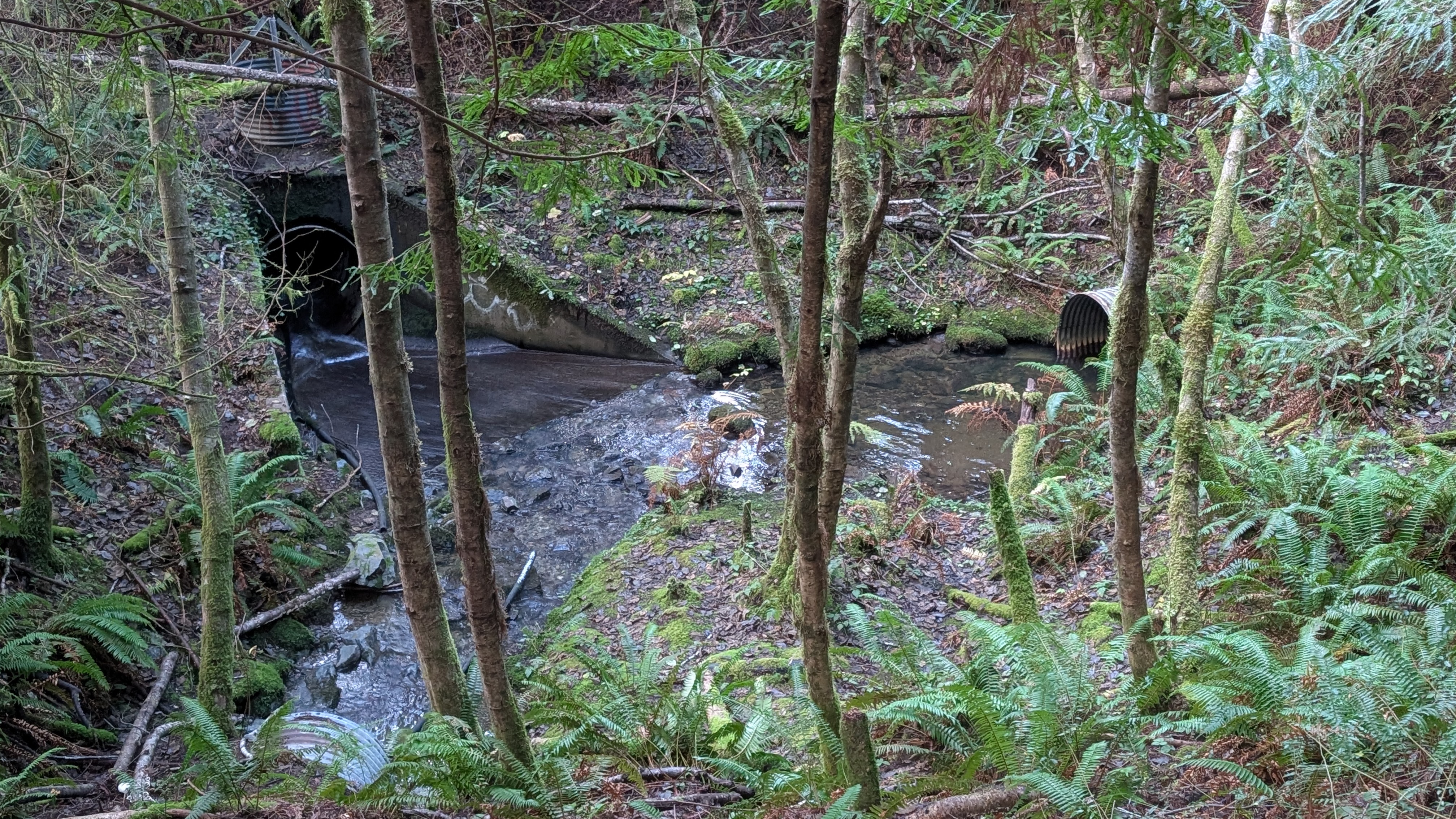
I take a short spur trail to check out the audible creek. Ahhh, what a lovely spot for a break or even a picnic. Not much later, I pass two guys hiking up the trail. As I approach the trailhead I can hear cars being locked with a loud beep as more hikers arrive. I notice the confluence of the two different creeks I could hear, one on each side of the trail.
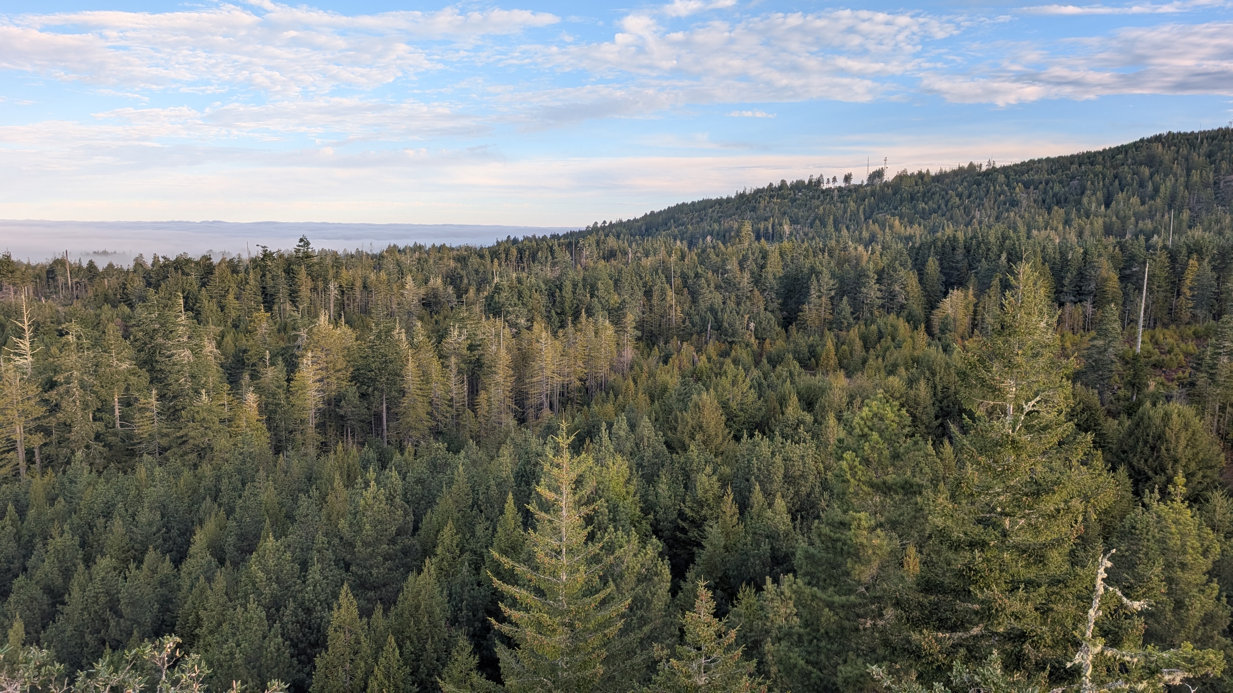
I had planned to add the hike from Trinidad Head to Elk Head but the fog is still hanging around and I feel the pressure of too many other things to do. I want to do this hike but on a sunny day so that I may fully enjoy the beautiful Pacific. Plus, January is a great time to see migrating whales! I drive down to Trinidad State Beach and Trinidad Head is still hiding in the fog. Alas, another time!
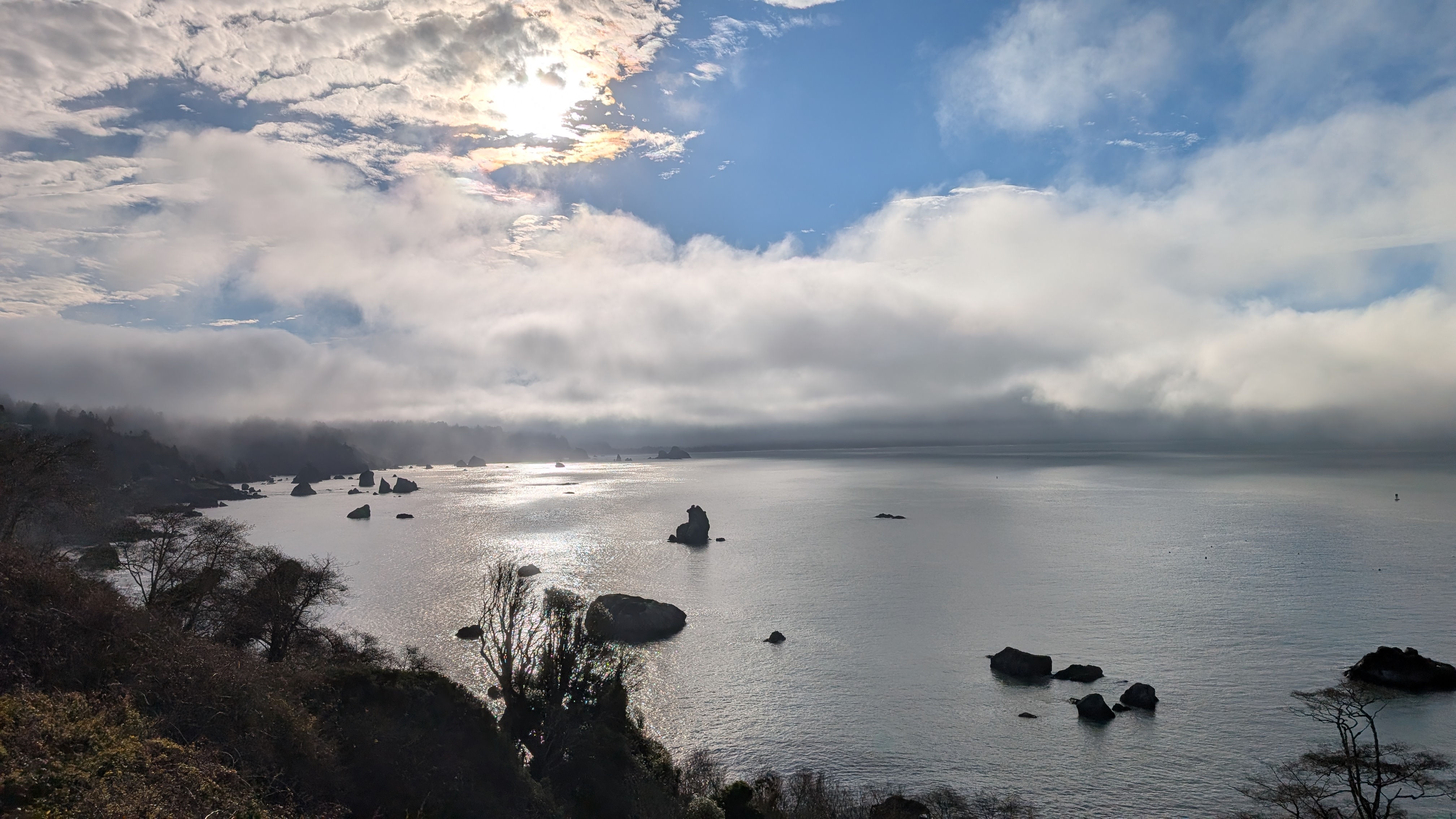
Looking South from the old lighthouse location.
