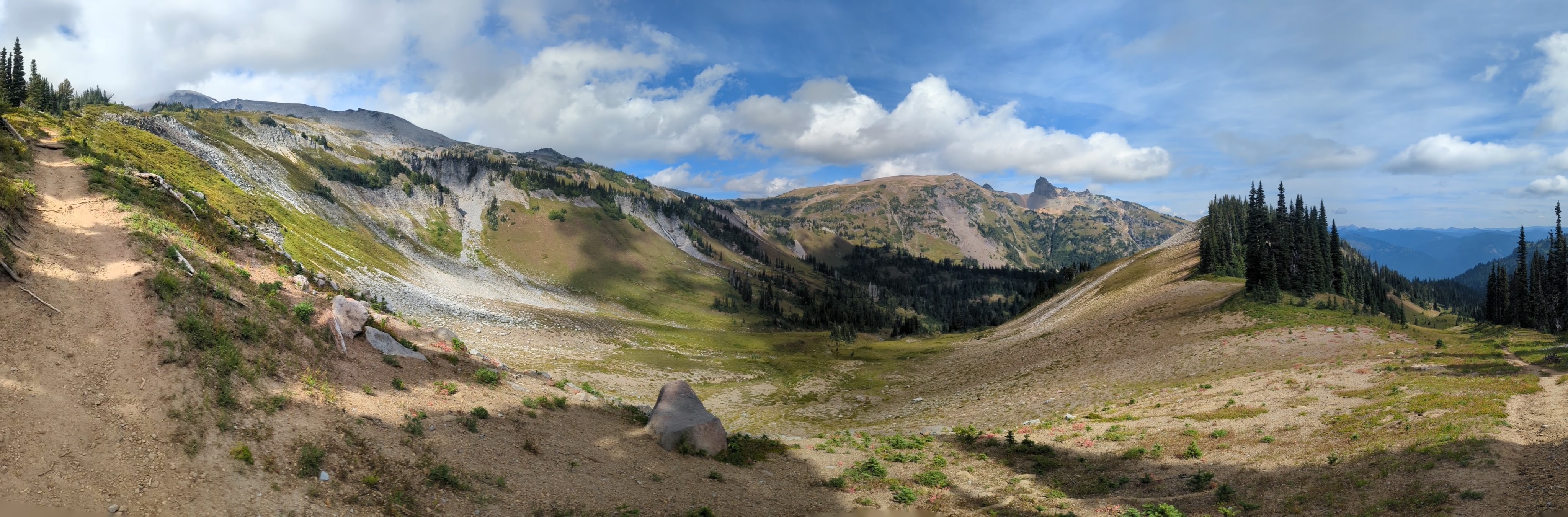
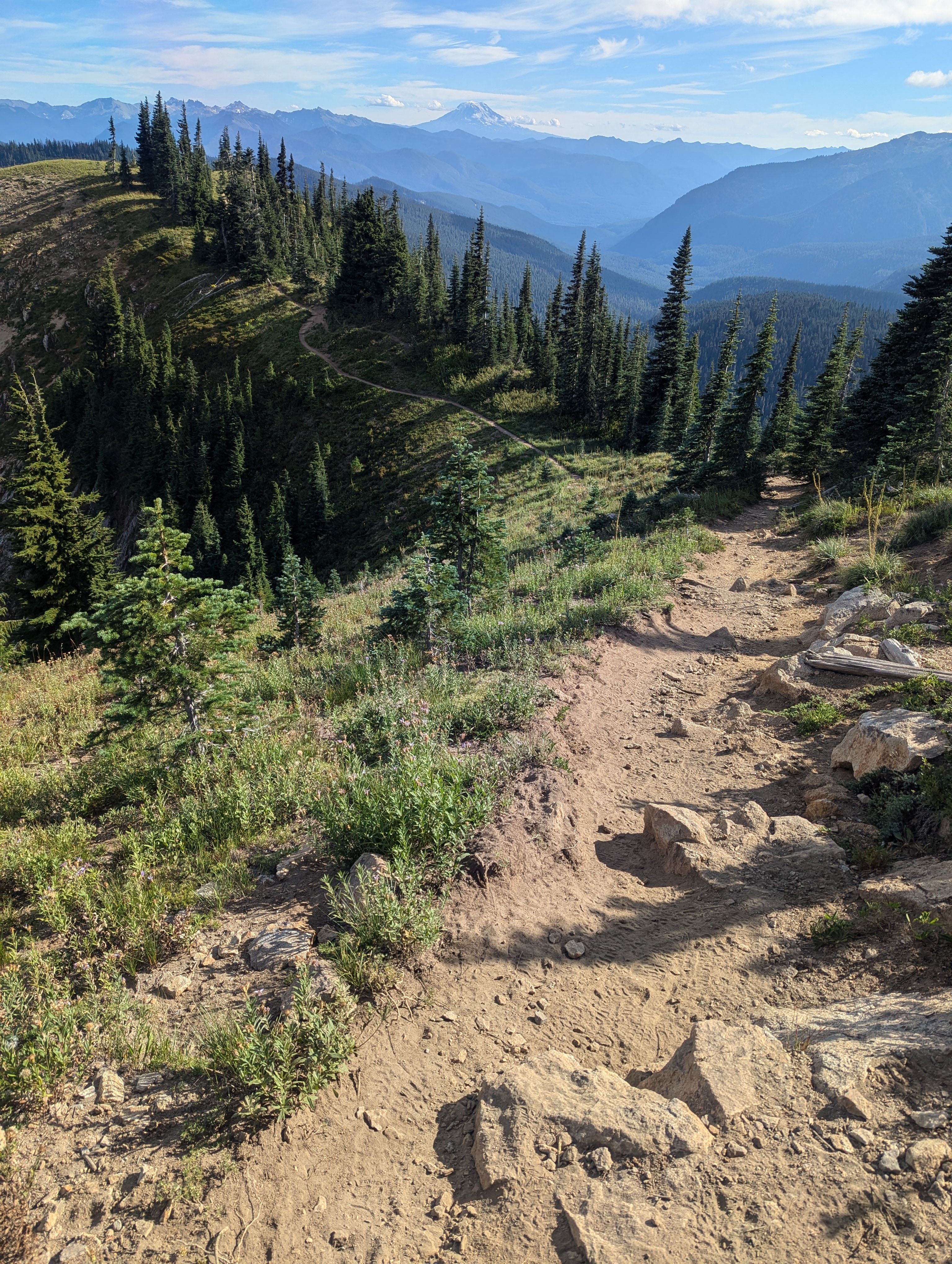
“There is a trail that encircles the mountain. It is a trail that leads through primeval forests, close to the mighty glaciers, past waterfalls and dashing torrents, up over ridges, and down into canyons; it leads through a veritable wonderland of beauty and grandeur.” ~Roger Toll, 1920
The Wonderland Trail is an approximately 93-mile trail circumnavigating Washington’s highest peak, Mt. Rainier. The land that is now Mt. Rainier National Park is the ancestral lands of the Nisqually, Puyallup, Squaxin Island, Muckleshoot, Yakima, Coast Salish and Cowlitz Tribes. The peak we know as Mt. Rainier is known as Tahoma or Talol by local tribes, who have lived on and cared for this land for at least the last 9,000 years. Tahoma means “mother of waters.”
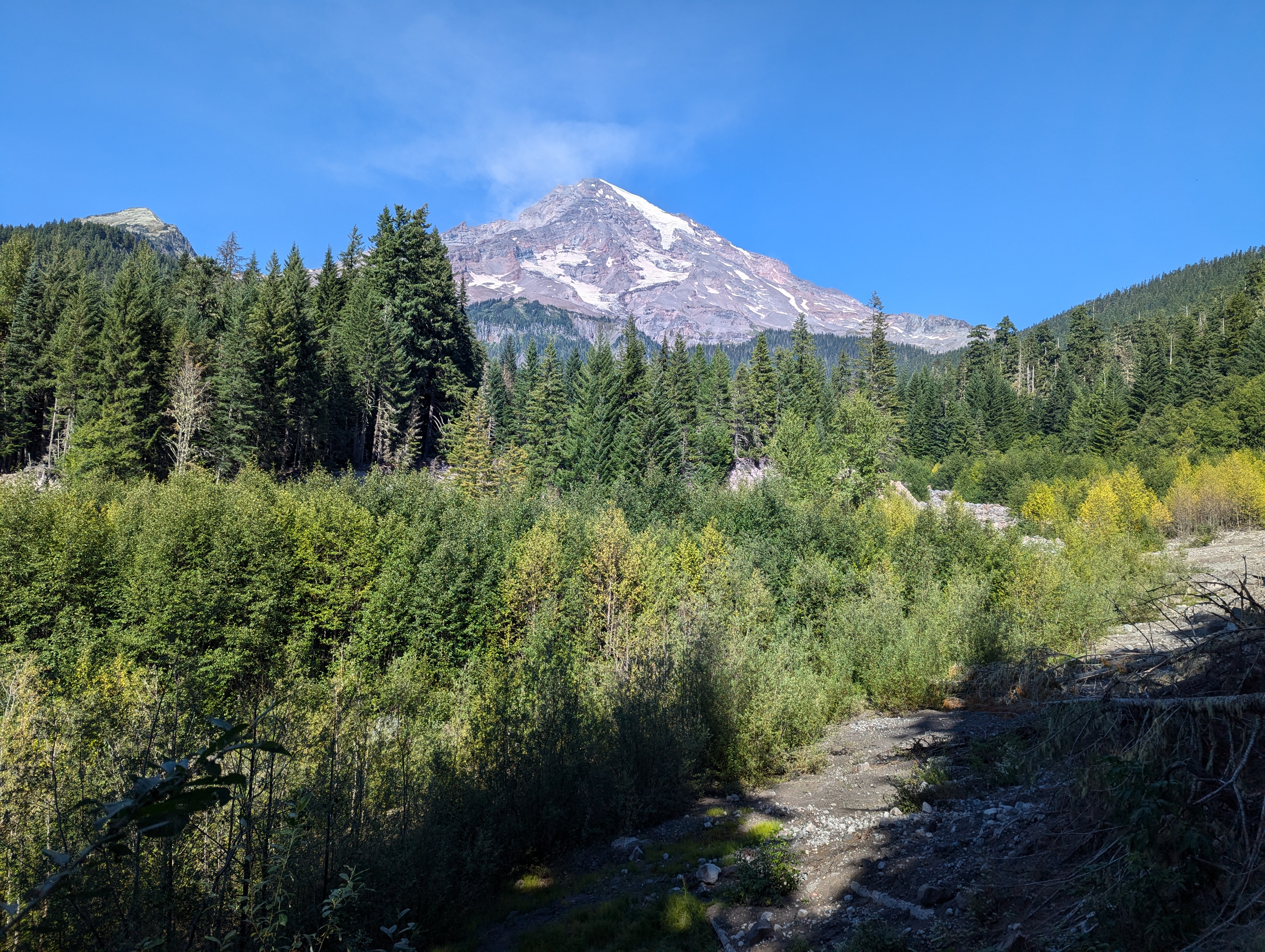
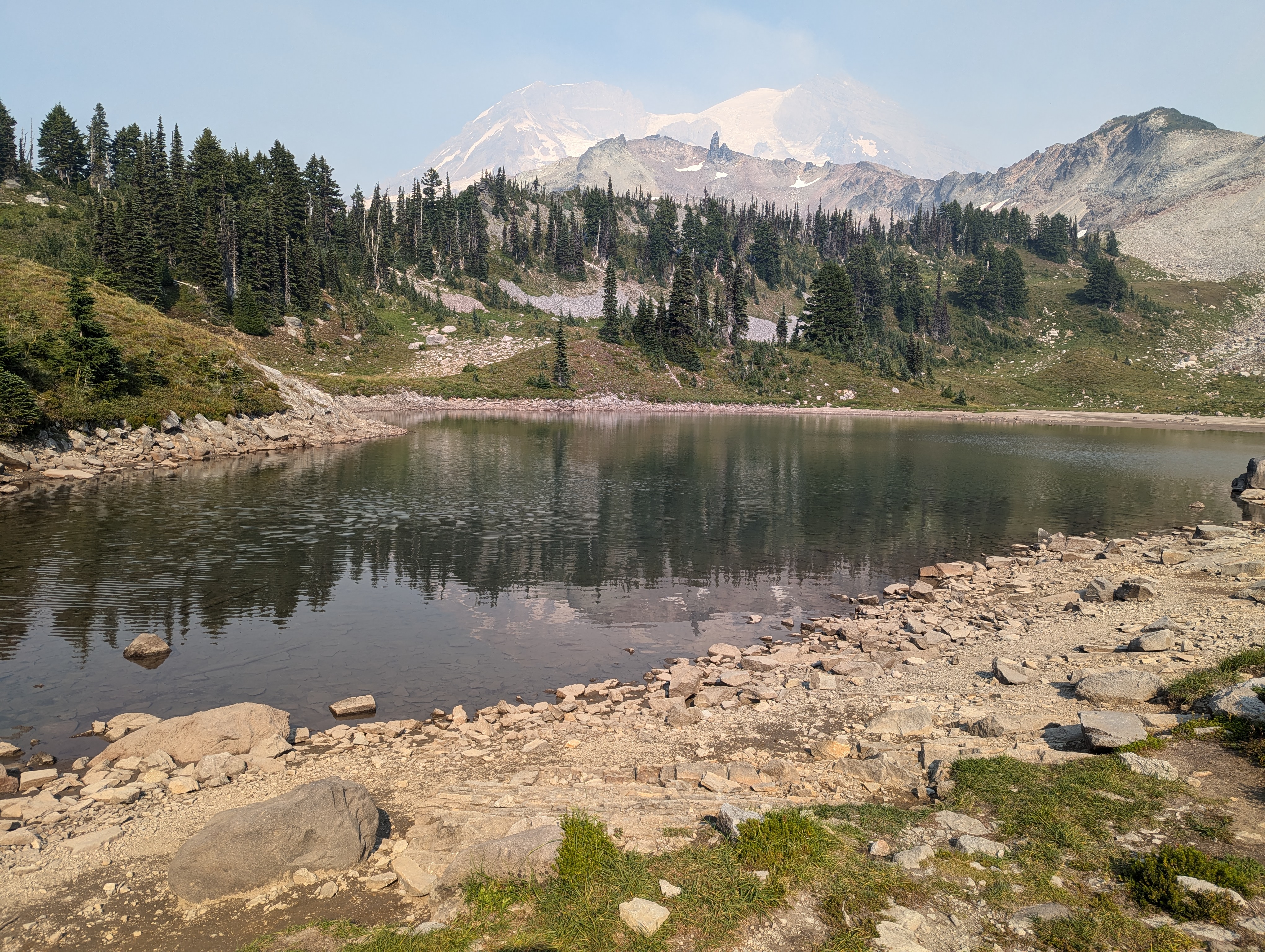
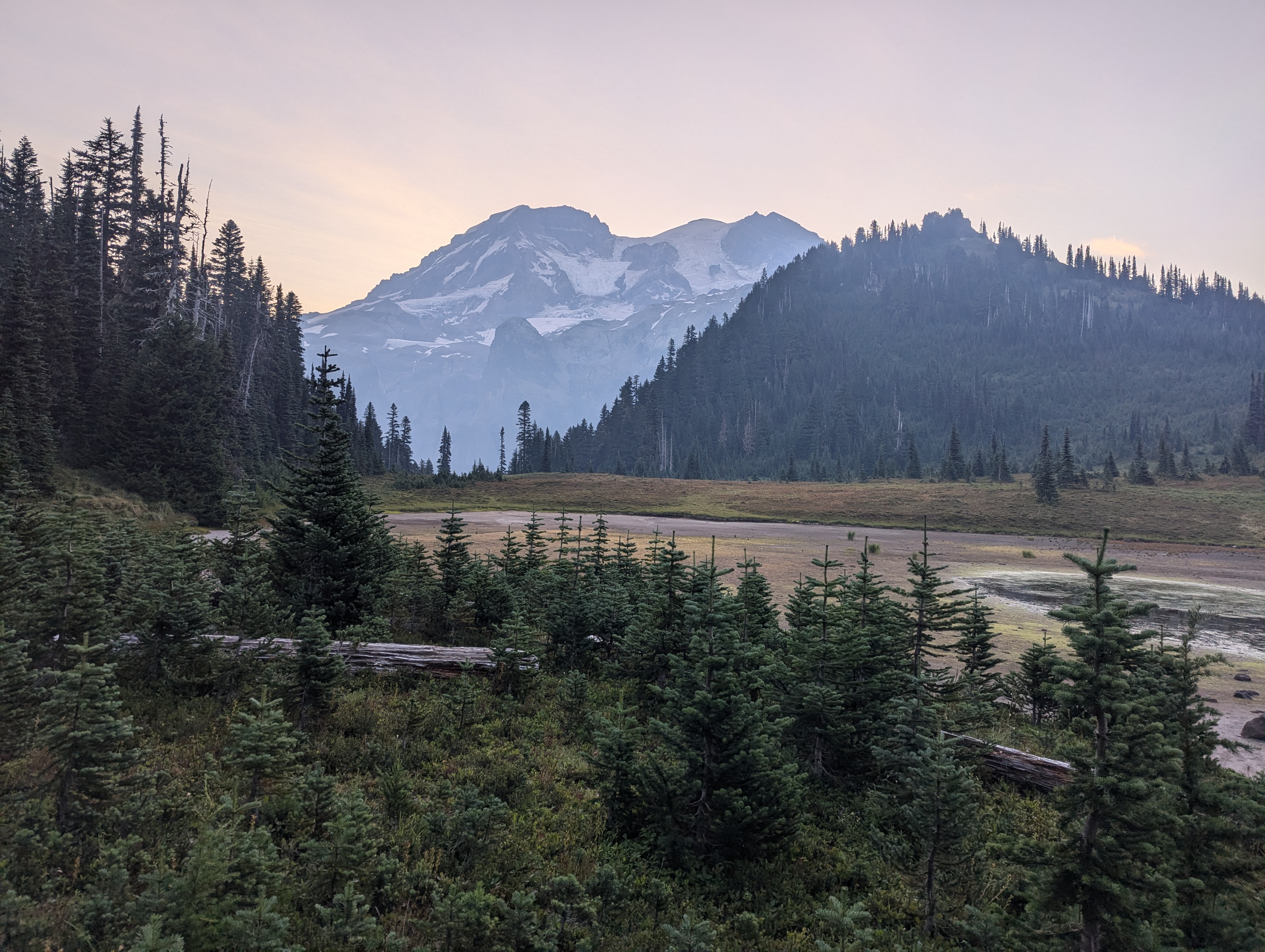
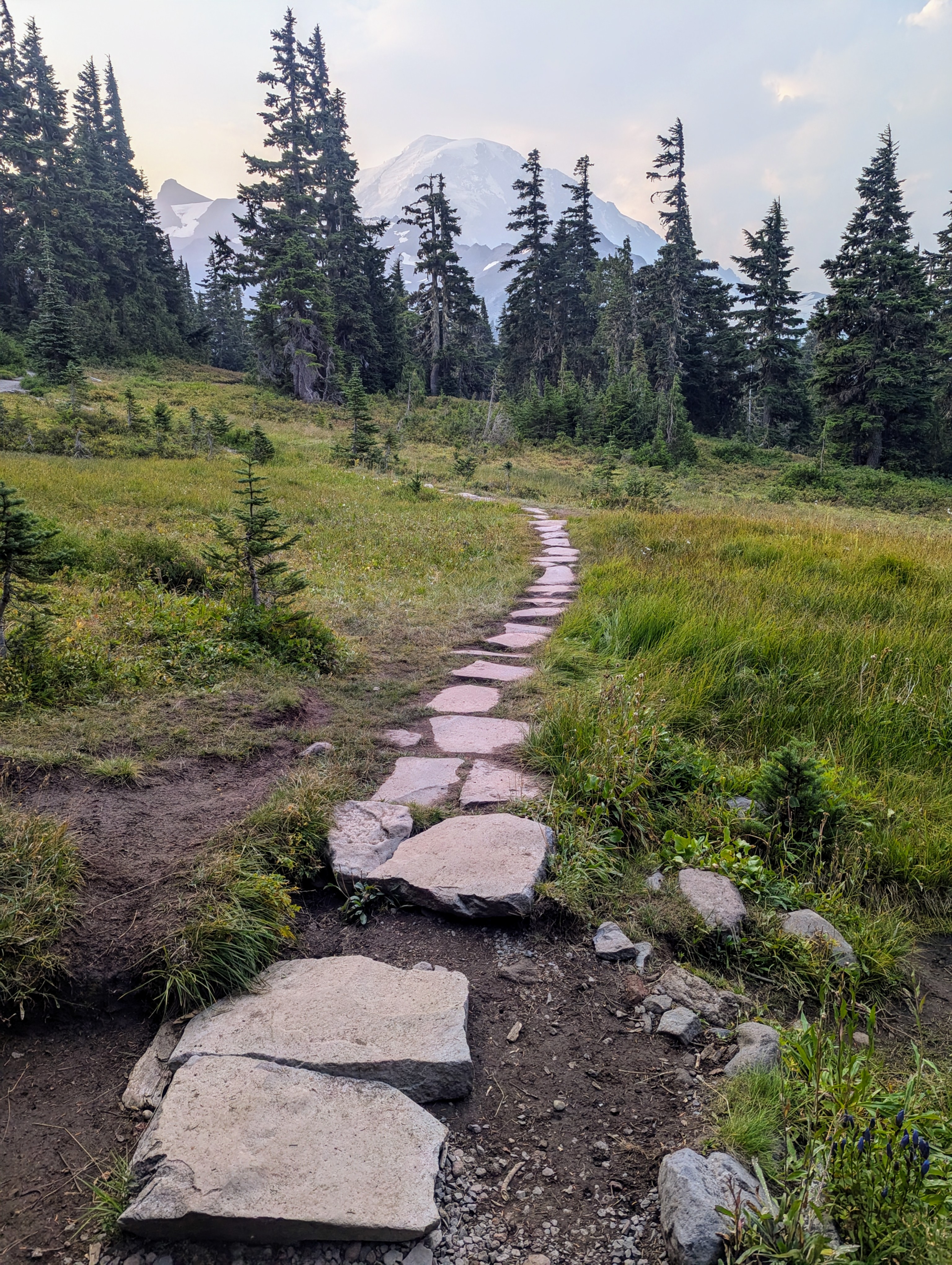
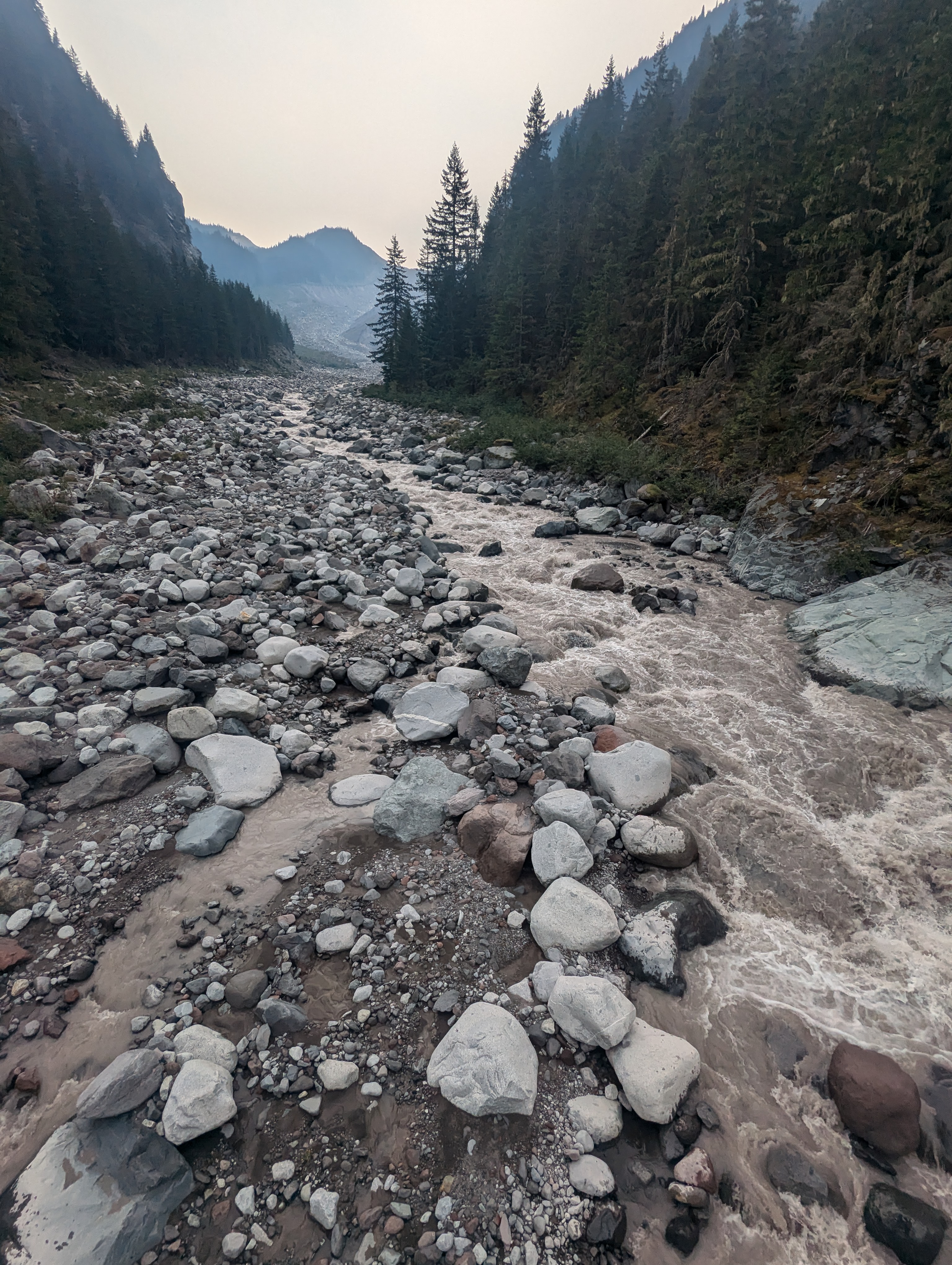
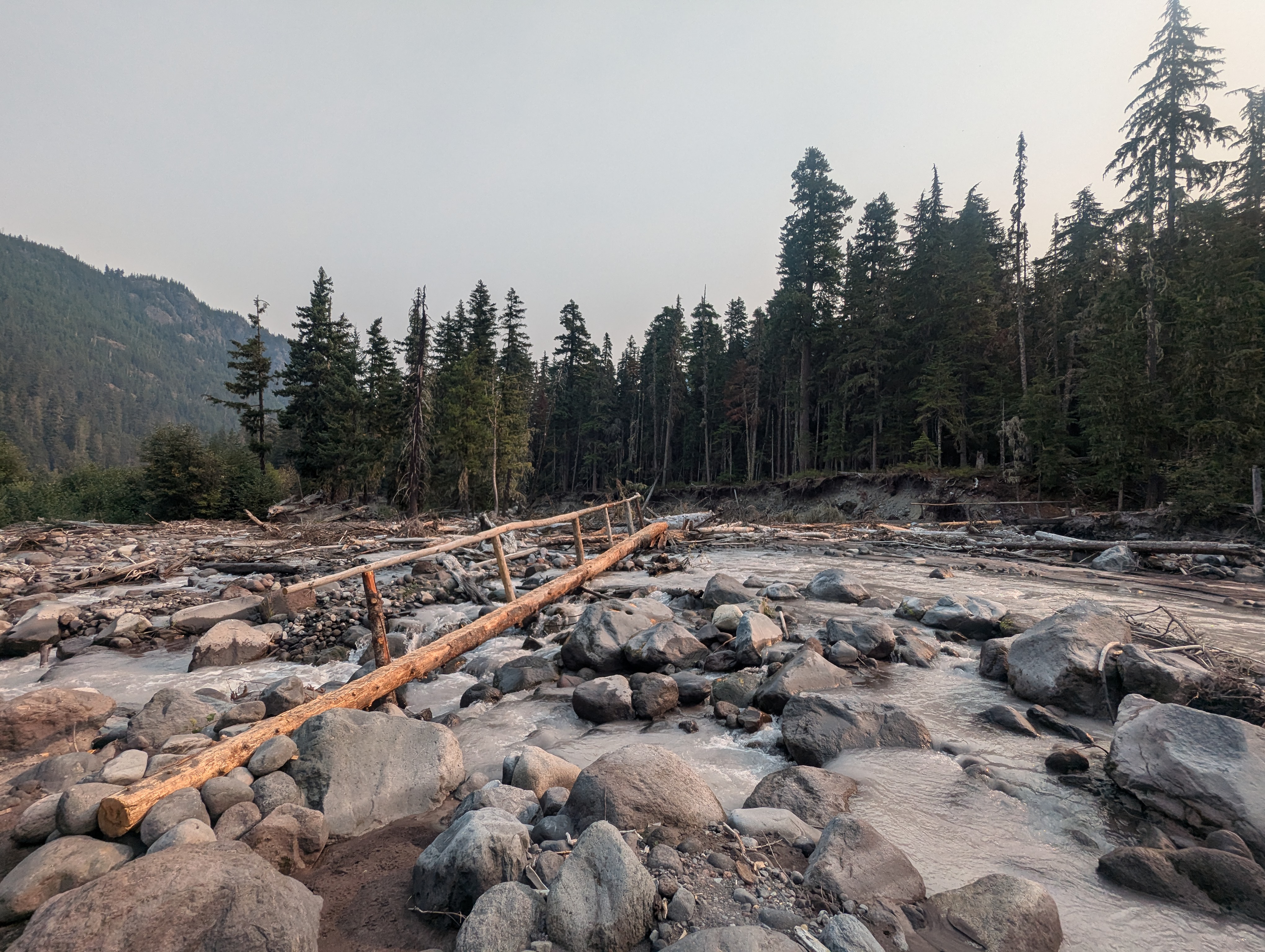
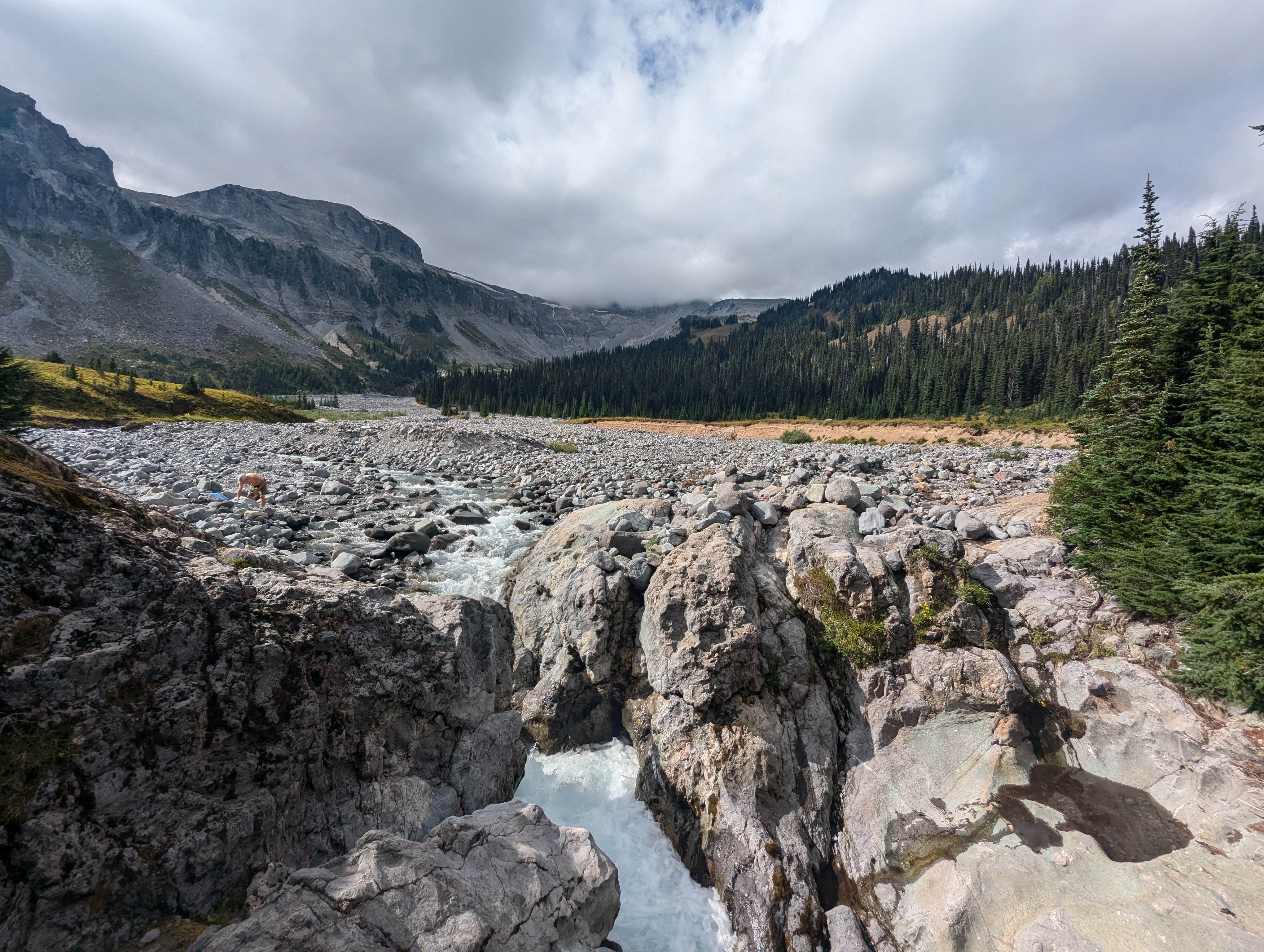
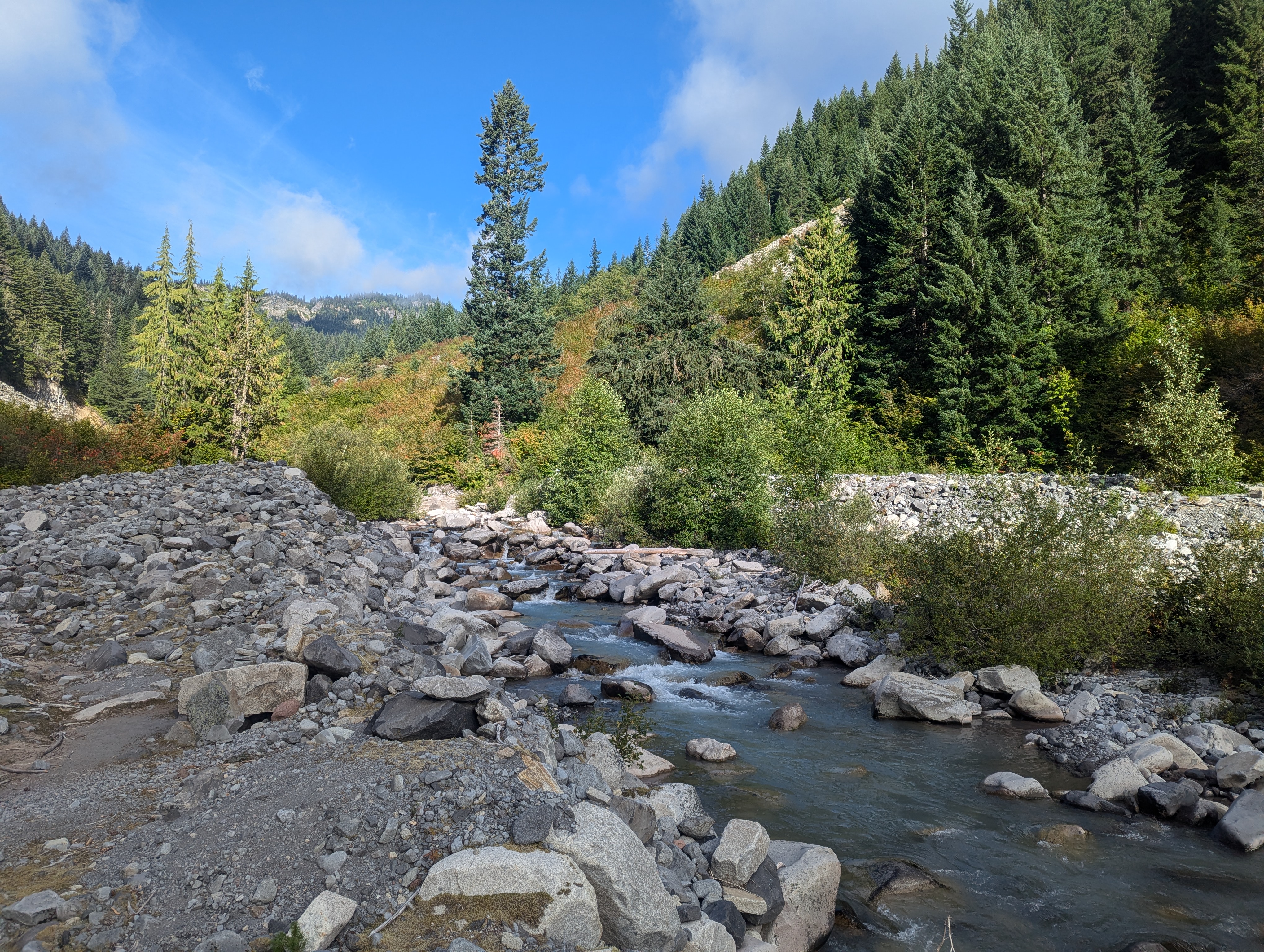
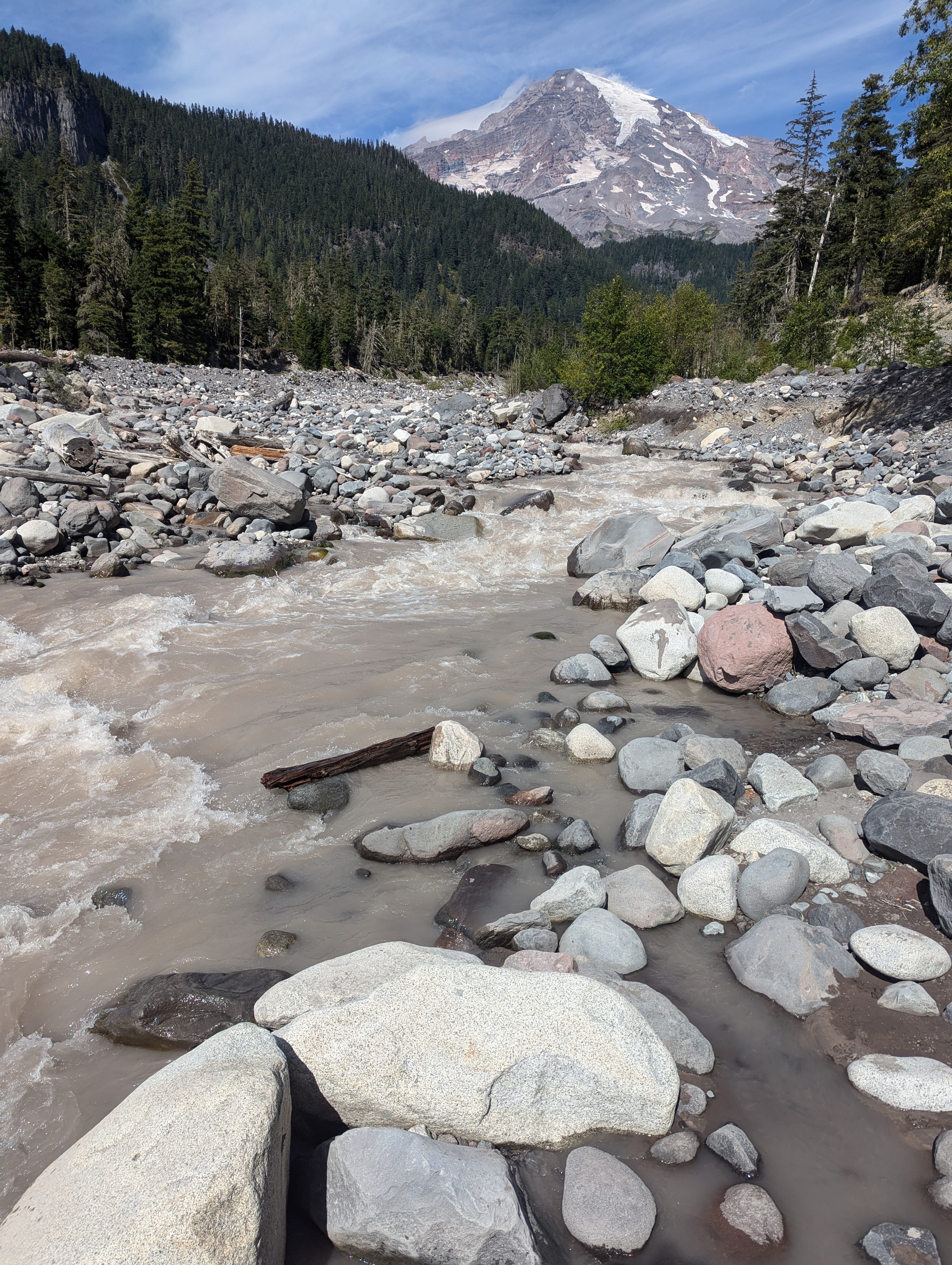
In 1899, Mt. Rainier National Park was designated as the nation’s fifth national park. The Wonderland Trail was built in 1915 and designated as a National Recreation Trail in 1981. The tallest of the Cascade Mountain Range, the towering 14,410 ft. Tahoma is an active stratovolcano, whose last significant eruption was 1,000 years ago. Mount Rainier’s 25 major glaciers are the source of nine significant rivers and their tributaries. These include the Nisqually, Puyallup, Mowich, Carbon, West Fork, Huckleberry, White, Ohanapecosh, and Muddy Fork rivers. Tahoma also holds the record for being the most glaciated peak in the lower 48. Carbon Glacier is the largest glacier by volume while the Emmons Glacier covers the largest area of any in the continental US.


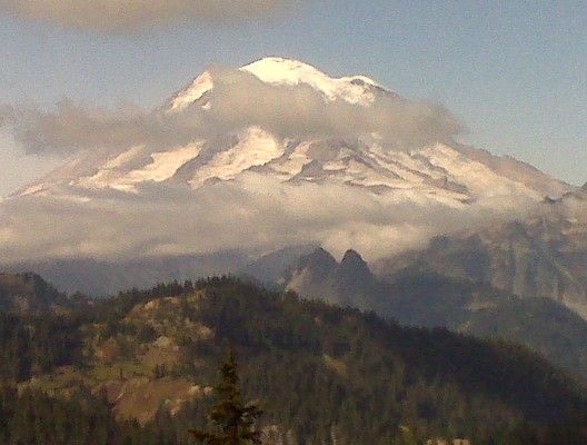


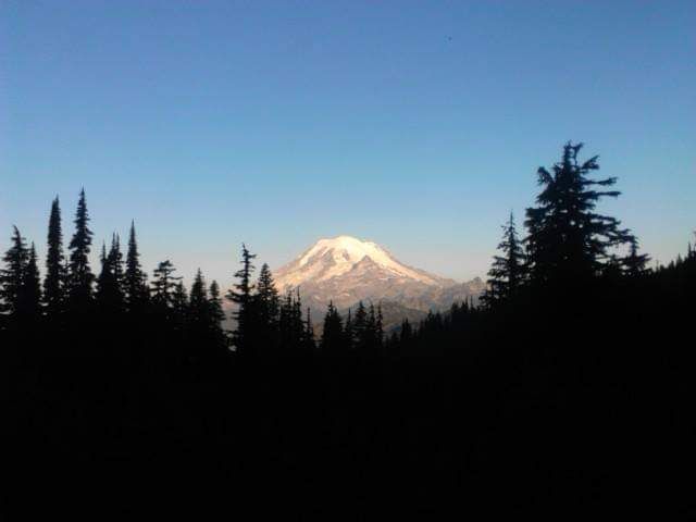
I’ve hiked to the East of Tahoma two times on the Pacific Crest Trail in 2009 and 2013. The PCT crosses over Chinook Pass. Mt. Rainier viewed from Goat Rocks Wilderness is one of the most iconic views along the entire PCT.
February – March
I spent the $6 for a chance at the early lottery but was unsuccessful. Now the waiting game starts until the general permitting opens on April 25. Time to hike and play with the gear list.
April
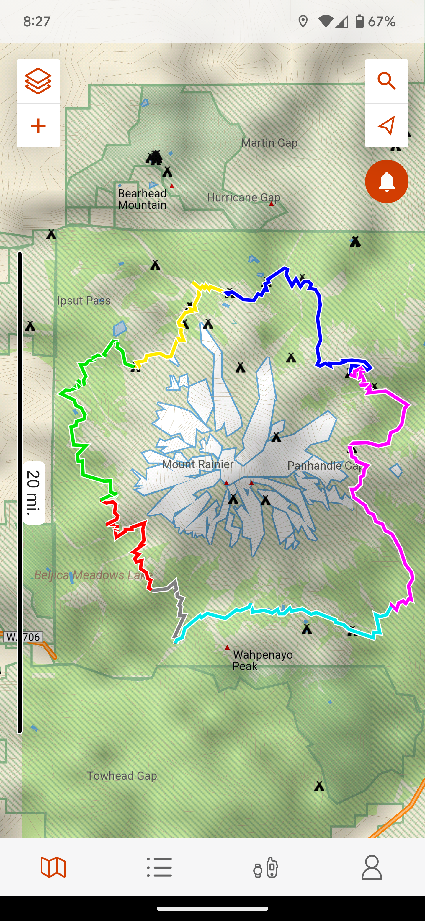
On April 25th at the downbeat of 7am, I fought the online masses and attempted to reserve a permit. With all the prime campsites already reserved during the early lottery and the mileage limitations of recreation.gov, it was impossible to reserve an ideal itinerary. I made a reservation utilizing the Northern Loop Trail but my first and last days would each be over 30 miles long. Not ideal. I hadn’t researched the Northern Loop Trail prior to the reservation date but after a little digging, it seems pretty interesting. I’ve created a new itinerary including the Northern Loop Trail and will attempt to get an alternate permit by the walk-up method.
August and September
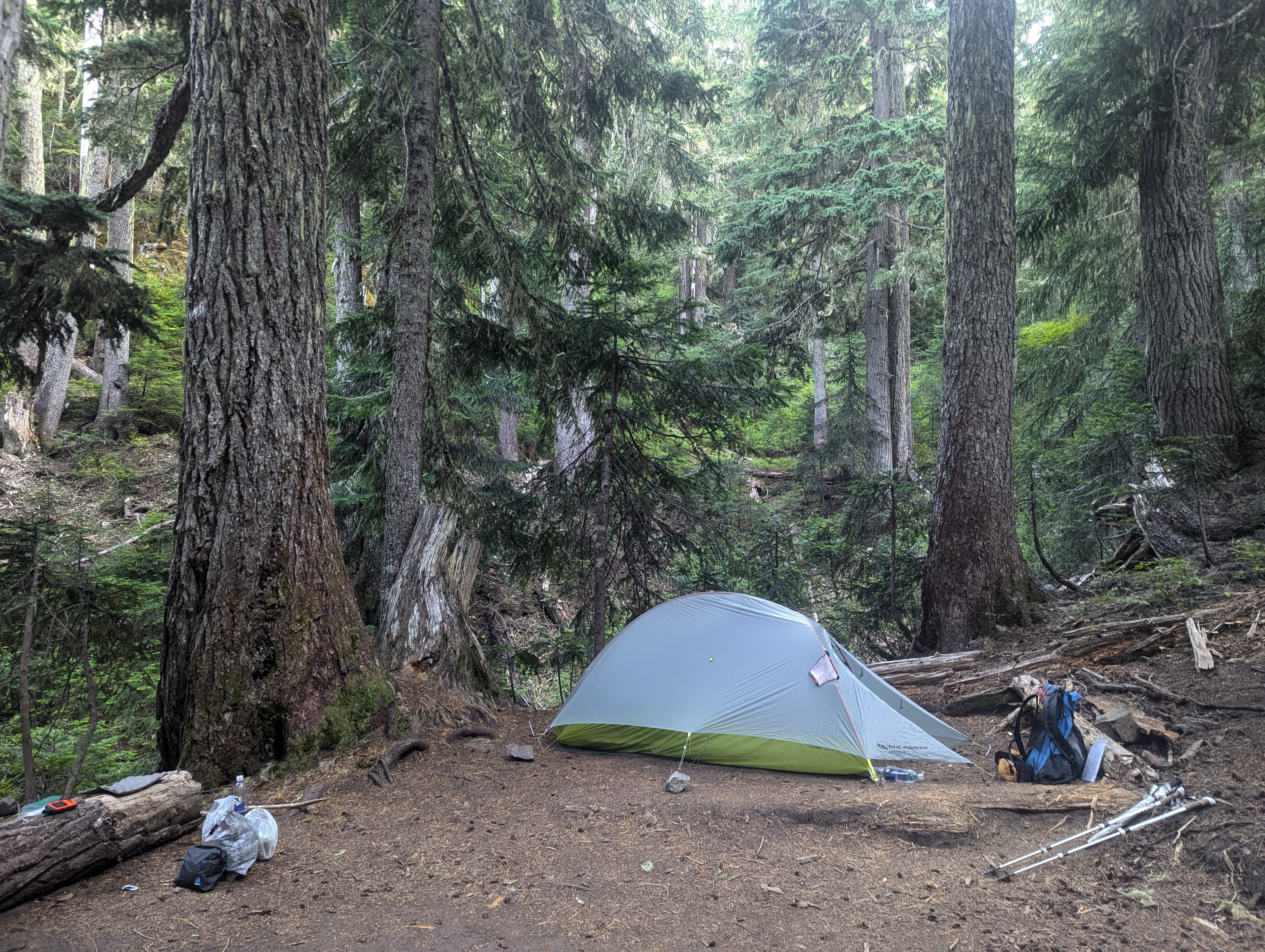
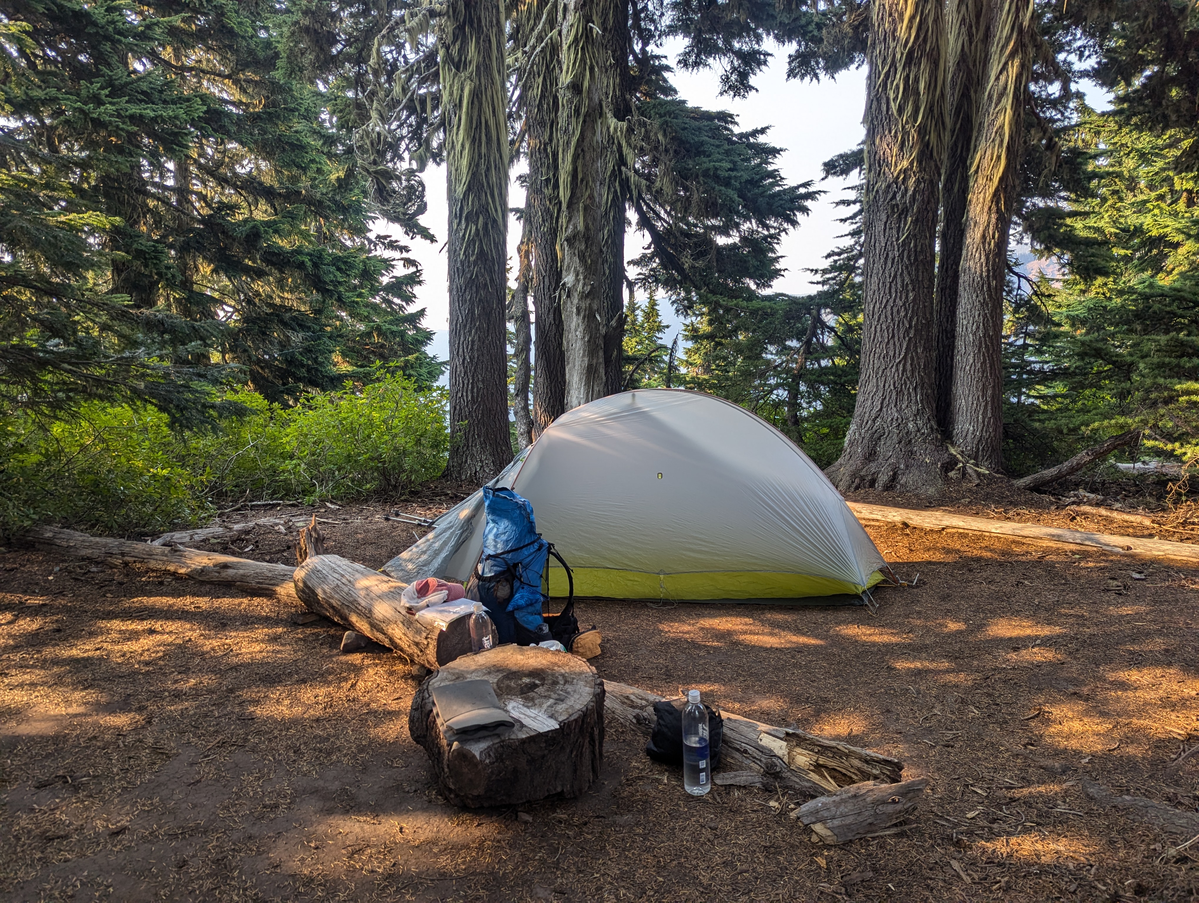
As my trip neared, I watched the permit numbers on recreation.gov closely. My planned CCW itinerary camps were all still listed as walk-up. I spent time familiarizing myself with maps, planning resupply and researching section hiking contingencies. On September 1st, just two days before my departure, I checked my camps again and now they were listed as zero. Well shit! I scrambled to see what campsites might be available since ones that were listed as walk-up now showed numbers of availability. 1 campsite available at Klapatche Park on September 5. I couldn’t link it to any other camps so I spent the $26 and booked it. A bit later, I found that Eagle’s Roost now had availability on September 6 so I spent $26 and booked it. The next day, Yellowstone Cliffs was available for September 7 so, $26 and booked. Later that evening, Nickel Creek became available for September 9, so $26 and booked. I started my drive north to Tahoma on September 3rd with the hopes of filling the September 8th hole in my itinerary the next morning as a walk-up. I arrived just before dusk at my campsite at Big Creek Campground. This campground is just a 20 minute drive from Longmire, has well-spaced campsites and cell service! During a fitful night of sleep, I realized that I should also try to get a walk-up permit for the night of September 4. If I can shorten my day to Klapatche Park that would be a good thing.
On Wednesday, September 4th, just minutes before 5am, I was number two in line at the Longmire Wilderness Information Center. In addition to all my individual reservations, I was able to add Devil’s Dream and Sunrise Camp to my itinerary to get the following:
Day 1: Longmire to Devil’s Dream Camp
5.8 miles – 2,565′ ascent, 403′ descent
Day 2: Devil’s Dream Camp to Klapatche Park
10.54 miles – 3,720′ ascent, 3,185′ descent
Day 3: Klapatche Park to Eagle’s Roost (Spray Park Alternate)
19.54 miles – 4,370′ ascent, 5,016 descent
Day 4: Eagle’s Roost (Spray Park Alternate) via Spray Park to Yellowstone Cliffs (Northern Loop)
11.01 miles – 3,812′ ascent, 3,645′ descent
Day 5: Yellowstone Cliffs (Northern Loop) via Sunrise Visitor Center to Sunrise Camp
17.20 miles – 4,944′ ascent, 3,877′ descent
Day 6: Sunrise Camp to Nickel Creek
21.34 miles – 4,527′ ascent, 7,427′ descent
Day 7: Nickel Creek to Longmire
14.46 miles – 2,662′ ascent, 3,430′ descent
TOTAL 99.89 miles – 26,600 ascent, 26,983 descent
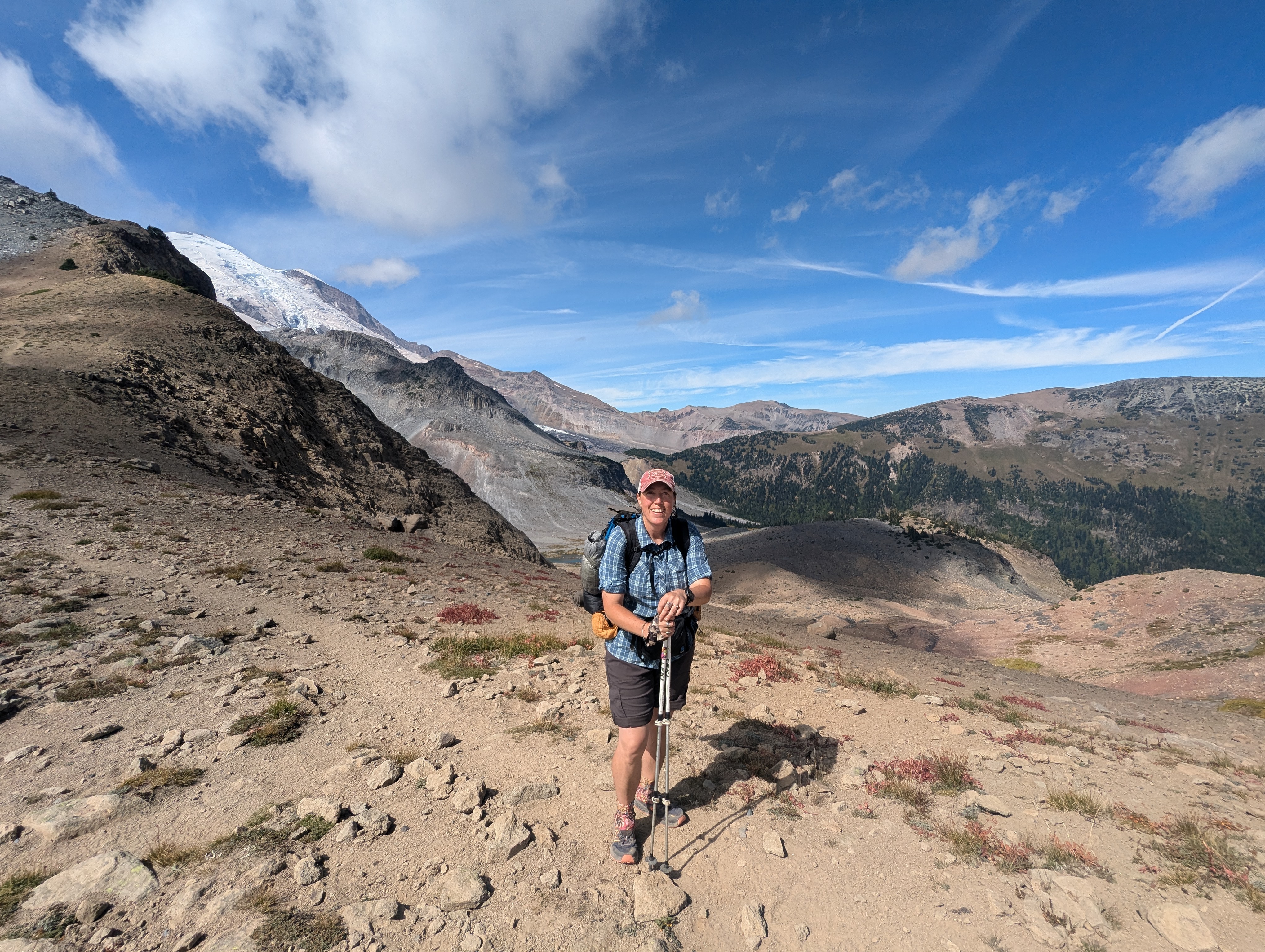
This is the story of my Wonderland Trail, not THE Wonderland Trail.
TRIP BLOG
Day 1: September 4 – The Return Of Lionheart
Day 2: September 5 – Who Wants Lake Water?
Day 3: September 6 – 13 by 1
Day 4: September 7 – Spray Park Goats
Day 5: September 8 – Sunrise Resupply
Day 6: September 9 – Walking Into The Consciousness Of The Absolute
Day 7: September 10 – Limping Into Longmire
BONUS:
Loowit Trail Lava