On October 3rd, exactly 7 years after being diagnosed with thyroid cancer and logging over 4,400 miles (over two trips) on the Pacific Crest Trail, I finally stood at its northern terminus.
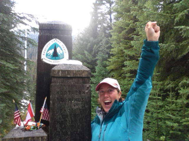 It’s hard to put the feelings into words. I was surprised that when I arrived at the monument I was quite calm. I really thought that I would have tears. Tears of joy. Tears of sadness. Overall, I was just so happy to finally reach this illusive destination and be sharing it with such kindred spirits. Pictures. Cheers. Hugs. Congratulations.
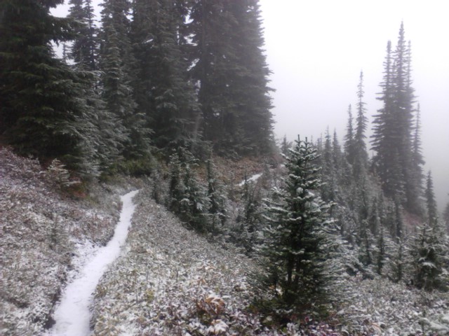
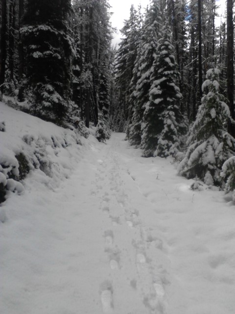
The weeks after Snoqualmie Pass were very challenging due the seeming onset of winter in Washington. The day I left Stevens Pass, I hiked 22 miles in driving rain. I could not stop because I would immediately start shaking from the cold. That night, once in my dry long johns and sleeping bag, it took me 2-3 hours to warm up. If it were not for fellow hikers, I would have turned around the next day. I pushed through rain and snow, finally making it to Stehekin, the last resupply point on the trail.
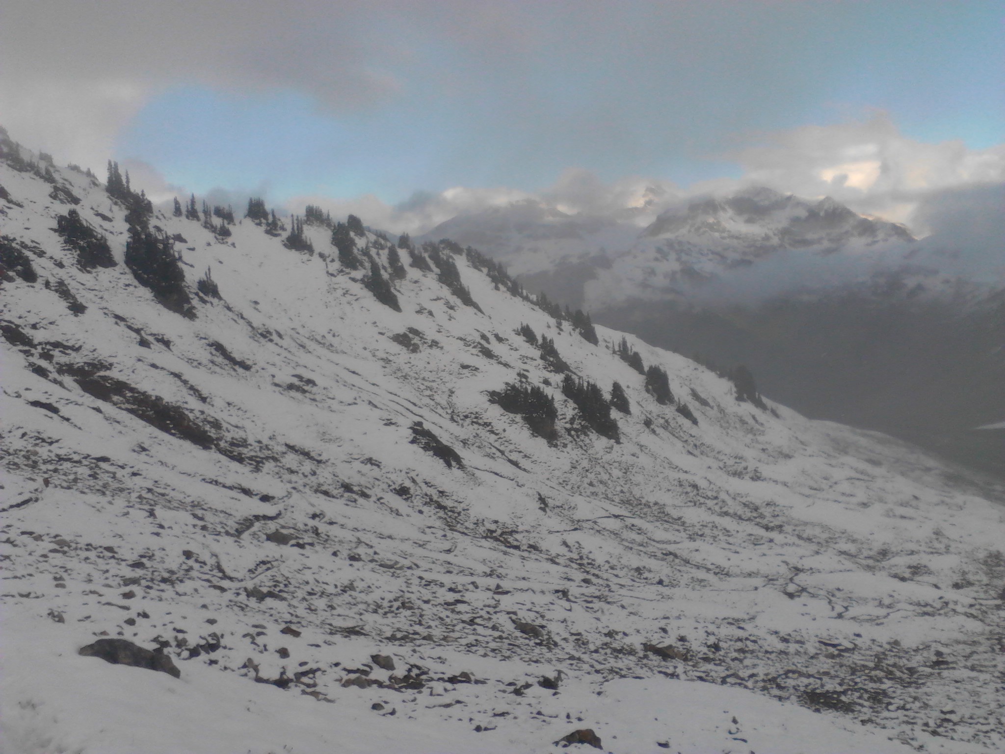


At 60 miles from the border and more snow/rain falling, I had to make a tough decision. The previous day, I hiked 19 nonstop miles from Stehekin with a group. In the driving rain we all headed out like a train of ants. Heads down, moving the feet as fast as they would go, dodging the water-filled trail, fording rivers, shivering, hoping for a steep uphill in order to get warm, log river crossings, tears, hoping for a quick ride into town, wondering if we were going to make it, trail magic that I hardly recall, a hitch to Winthrop, a warm shower, continued shivering, getting wrapped up in blankets. Finally, 4 hours after leaving the trail, I would say that me and warm were on the same page.
My no-thyroid-body which runs on the cold side anyway, simply couldn’t handle the cold and wet weather. At Rainy Pass, with an elevation of only about 4900 ft., the highs were in the mid 30’s. And hiking the PCT would involve going over 7000 ft. passes at least 4 times with a high ridge section too. Aside from the temp concern, then there was the issue of hiking through all the snow that had fallen plus the challenge of route finding. So, I sadly decided not to continue with the group (who ultimately had to turn around due to waist deep snow).
Instead, my dear 2009 trail buddy Canadoug drove all the way from north-eastern Alberta and took me around those last 60 miles. We drove to Manning Park Lodge where I hiked the 8 miles south to the border and back.


I will post more pictures soon! And if you’re wanting more of the story, be sure to check my daily journal by clicking the Class of 2013 link at the top of the right sidebar. Thanks for all the support!

Yes yes yes yes yes yes yes !!!!!!!!
(Details later.)
Sent from my Verizon Wireless BlackBerry
Hooray!!!
Hi Lionheart, CONGRATS!!! I believe we met and chatted near reds, with Cherub and Soup Nazi
I enjoyed reading youur post