Friday, October 7
Start: Hanaupah Canyon Spring
Stop: middle Hanaupah Canyon Road
10 miles
I get up during the night to pee for the first time since 1pm yesterday. Finally. The stars twinkle brightly against the dark sky. The spring’s calm melody comes and goes with the gentle breeze. I think this is the most perfect volume of water I’ve ever slept near. About 6:30am the sky begins to brighten and I think, hey it’s only 10 miles to the next spring. I can do this. It’s only five miles up to the ridge. It’s all down hill from there. Yeh, no problem. I can do this.

I still don’t feel like eating so I fill up with six liters of water and heave my pack onto my shoulders. There is no trail but you can see where previous hikers and perhaps even animals start the climb out of Hanaupah Canyon. I climb, sometimes even hand over hand, and I make it up the first little hump. While standing there catching my breath, I hear the unmistakable chime of slate hitting slate. I look over and they are watching me. If they were into shaming, they’d be laughing at my climbing efforts. The desert bighorn sheep, with their full attention on me, easily work their way up the mini canyon just to my right. I stand mesmerized. I stand in awe. I feel so alive. This makes it all worth it. This is why I do things that are hard. With curved horns and white rumps that stand out against the desert backdrop, the herd of eight are soon out of sight. But I still stand there staring. The desert bighorn sheep are listed to be throughout Death Valley National Park “at all elevations; inaccessible ridges and canyons, usually near water.” Inaccessible ridges and canyons? Check.
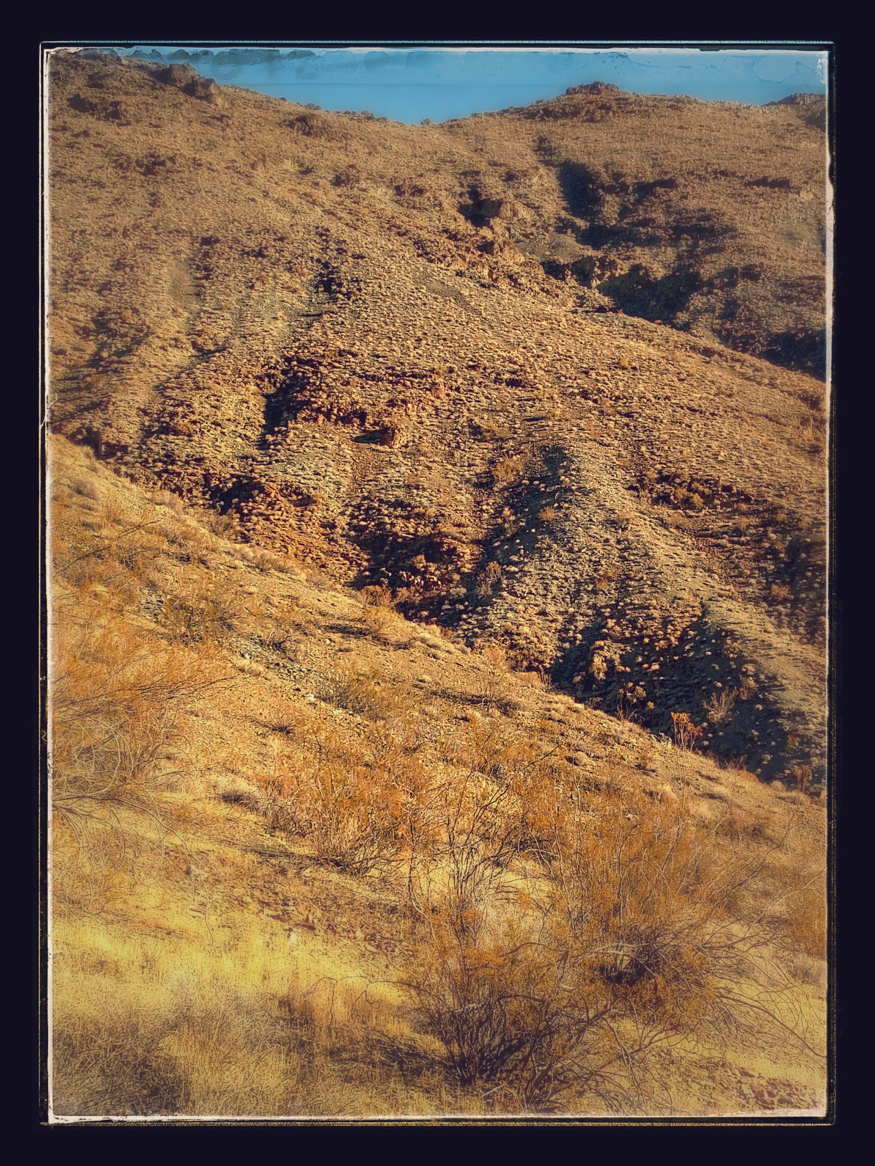
The 75 degree slope is slow going but mostly because I’m not in good enough shape for this. Pepperflake and Princess passed me an hour ago just after I saw the desert bighorn sheep. I can see their tiny figures atop the ridge already. As I near the east-west ridge line, a faint use trail appears. It switchbacks up and then cuts across to a low saddle along the ridge. I see the tracks of notorious thru-hiker shoe brands like Altra and Brooks Cascadia and I smile. Somehow, there’s a sense of home in seeing those tracks. It’s almost 10am when I reach the top of the ridge. Not quite two miles in three hours since the bottom of Hanaupah Canyon. I take a short break and try to eat some food. By 11am I’m stopped again, feeling absolutely drained. Feeling like I have nothing left to give.
I start to run the numbers in my head. With nearly four more miles at this pace, I might reach Telescope Ridge by 5pm. Then it’s roughly another five miles down to water. It’s dark by 7pm. If the other side of this ridge is as slow going, I could be hiking until 10pm. Because of my dehydrated state yesterday, I’ve already consumed nearly two of my six liter capacity. If I continue consuming water at that rate, I’ll run out around 4:30pm. I’m carrying my fear about water and I’m terrified of running out. I’m dehydrated and I’ve barely peed today. I’m not eating. I’m exhausted. I have heat rash on my ankles. I don’t feel well. FUCK! FUCK! FUCK!

It’s not easy to turn around. It’s not easy to concede defeat. But deep down in my gut I know I have to make the smart choice. I’m not here to prove something. I could push on but then I might need to be rescued. And I think that would suck even more than hiking myself out. I turn around and look down into the canyon from which I have just climbed. Sigh. I start to retrace my steps but before long I’ve lost the faint use trail. I think that it goes down so I slowly pick my way across the slope. I realize that I’ve misjudged my orientation to the ridge line by one little hump and that I started down too soon. Eventually I get back to the trail that leads to the switchbacks. Relief. It’s just after 2pm when I reach the canyon floor. I go to the spot where I collected water before but the water is not running there. I have to go a tenth of a mile upstream until I hear the gentle melody of water.
I huddle under my sunbrella all afternoon. I’m grateful for the shade but its not exactly cool as I lay here feeling miserable and hot. I’m still not peeing. A few hours later the sun is on its descent and the air begins to cool. There is a rumble in my stomach and I finally feel like eating something. I figure that I have about 22 miles via Hanaupah Canyon and West Roads until I can reach the main access road to Badwater. I just can’t bring myself to recross the salt playa. I’ll have to dry camp plus I don’t know how long I’ll have to wait on the roadside for a hitch. I’m worried that six liters won’t be enough. I take my maps out of their gallon ziploc bag and use it to hold another couple liters of water. At 5pm, the canyon is finally shaded and I start my hike out with trekking poles in one hand, gallon ziploc in the other. I hike for two hours, and even though I should hike a few more hours, I simply can not muster the energy.

Check out more trip pics on my Instagram
