Sunday, April 13
Ossagon Trail
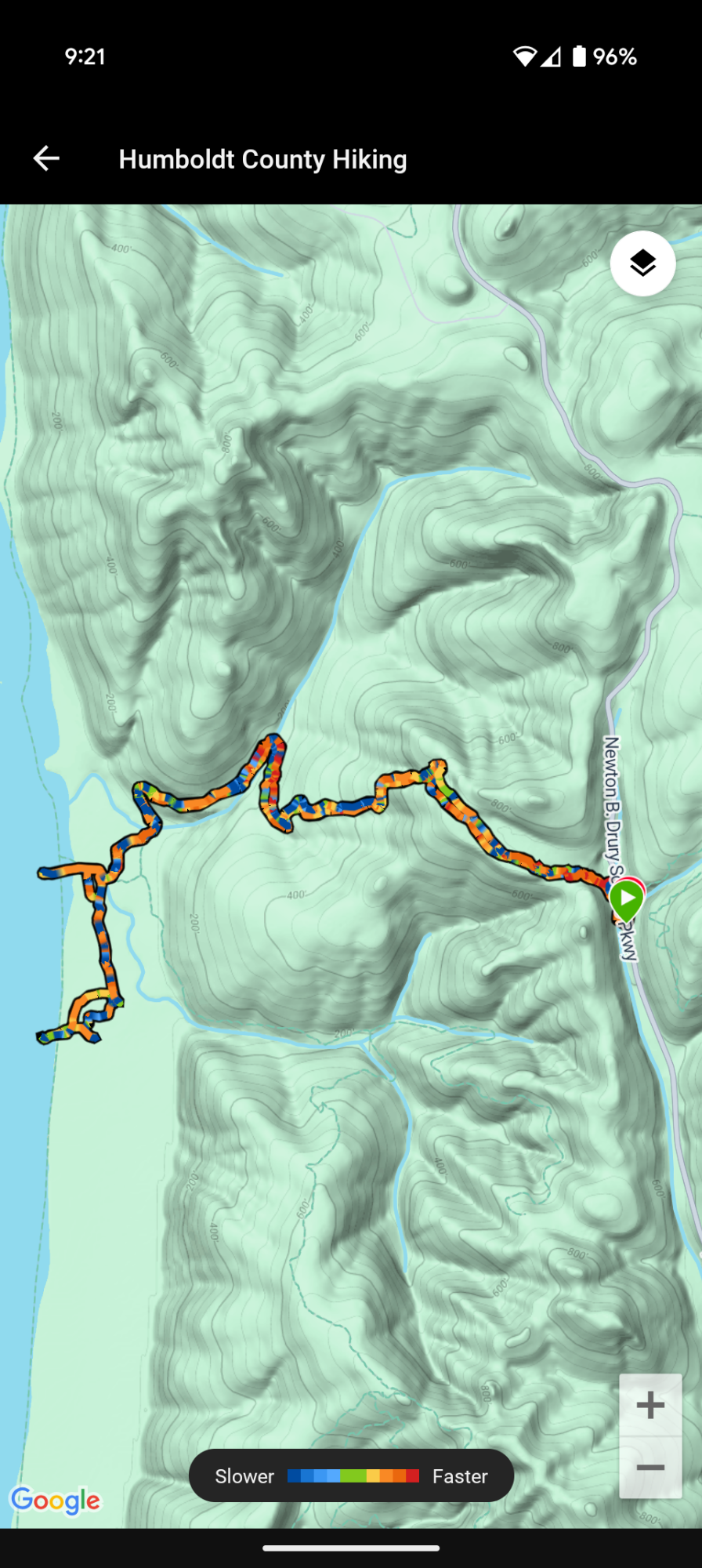
California Coastal Trail Humboldt Section 1
Prairie Creek Redwoods State Park
Unceded land of the Yurok Tribe
5.8 miles
927′ ascent
1,022′ descent
I drive the short distance from the Flint Ridge Trail back into Humboldt County and exit onto Drury Parkway. I park at the Ossagon and Hope Creek Ten Taypo Loop Trailheads. From the interpretive sign: “The Pacific Coast is essential to Yurok life. The Ossagon Trail once connected the historic coastal village of O sey-gen with inland communities along the Klamath. Family and trade relationships connect people of the coast (Ner-er-ner) with those on the river (Pue-lik-lo’)


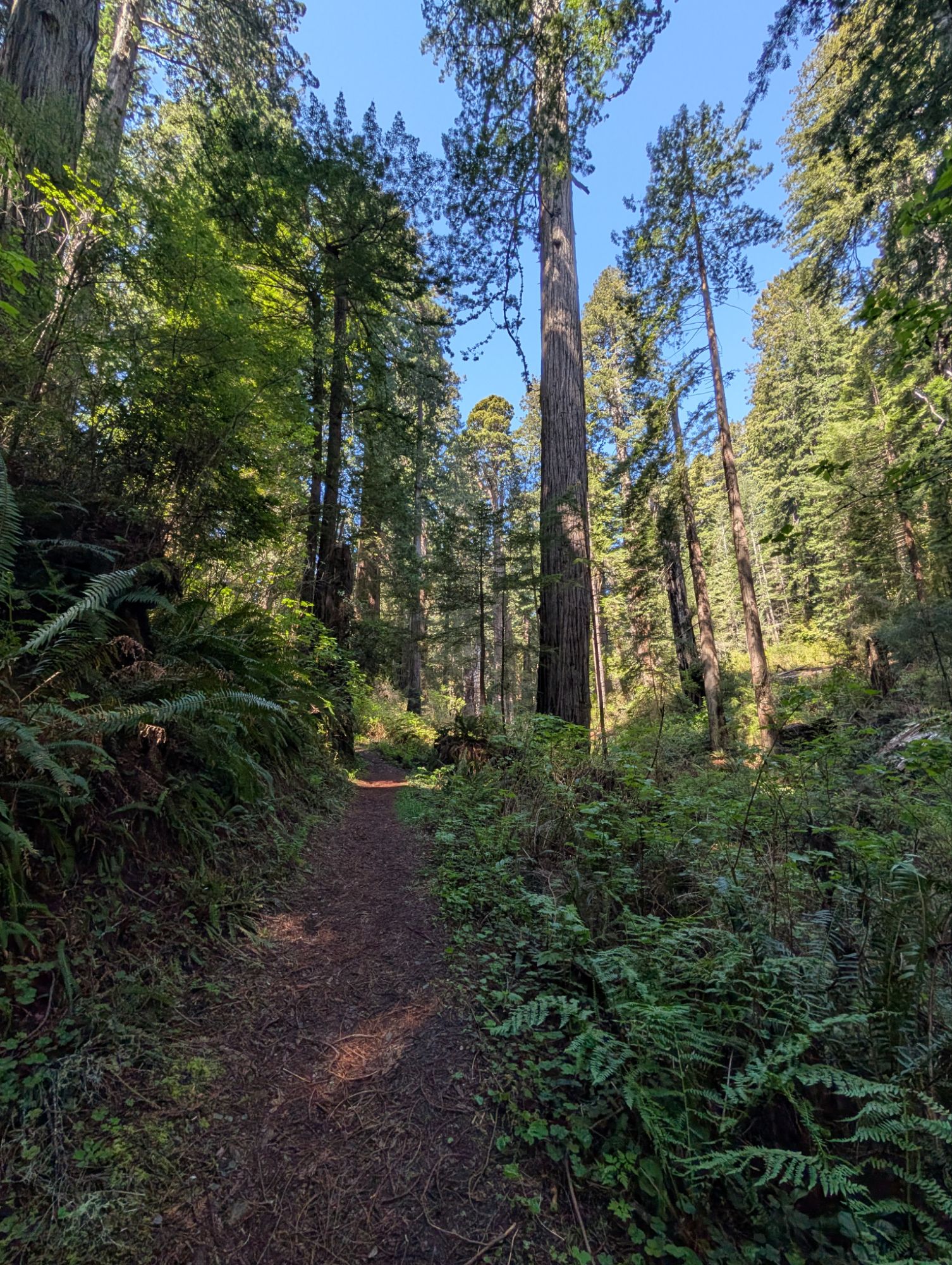
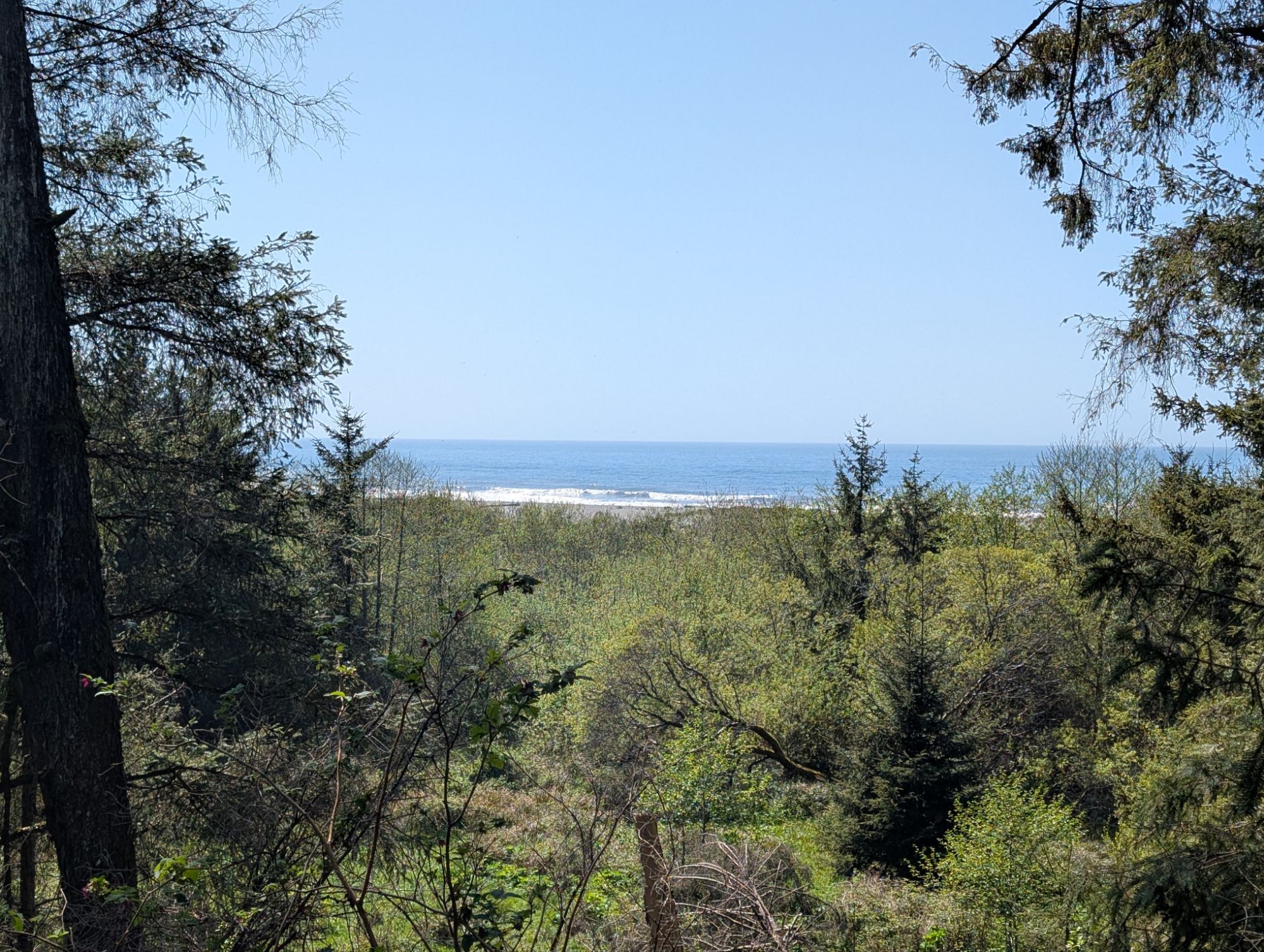
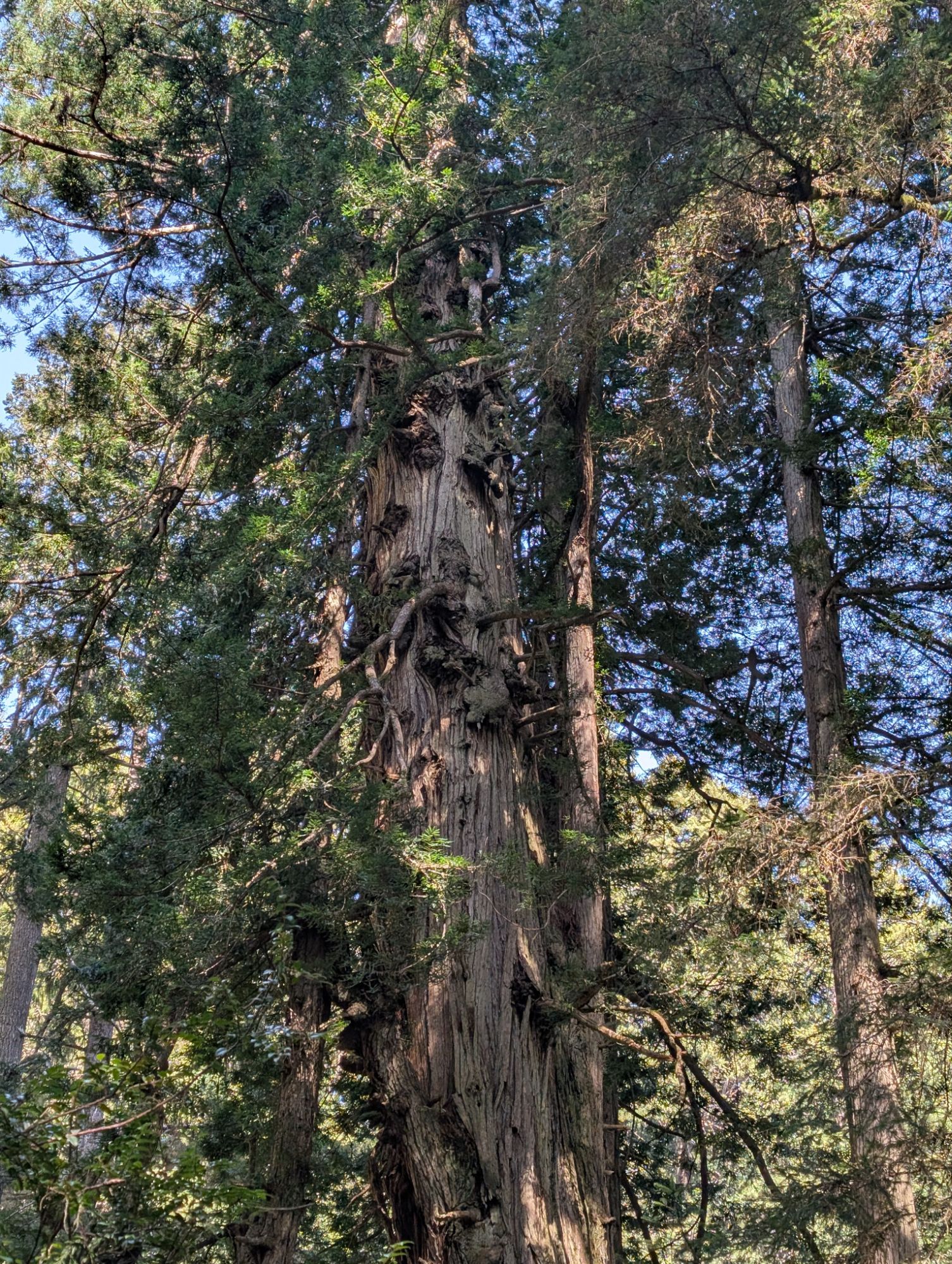
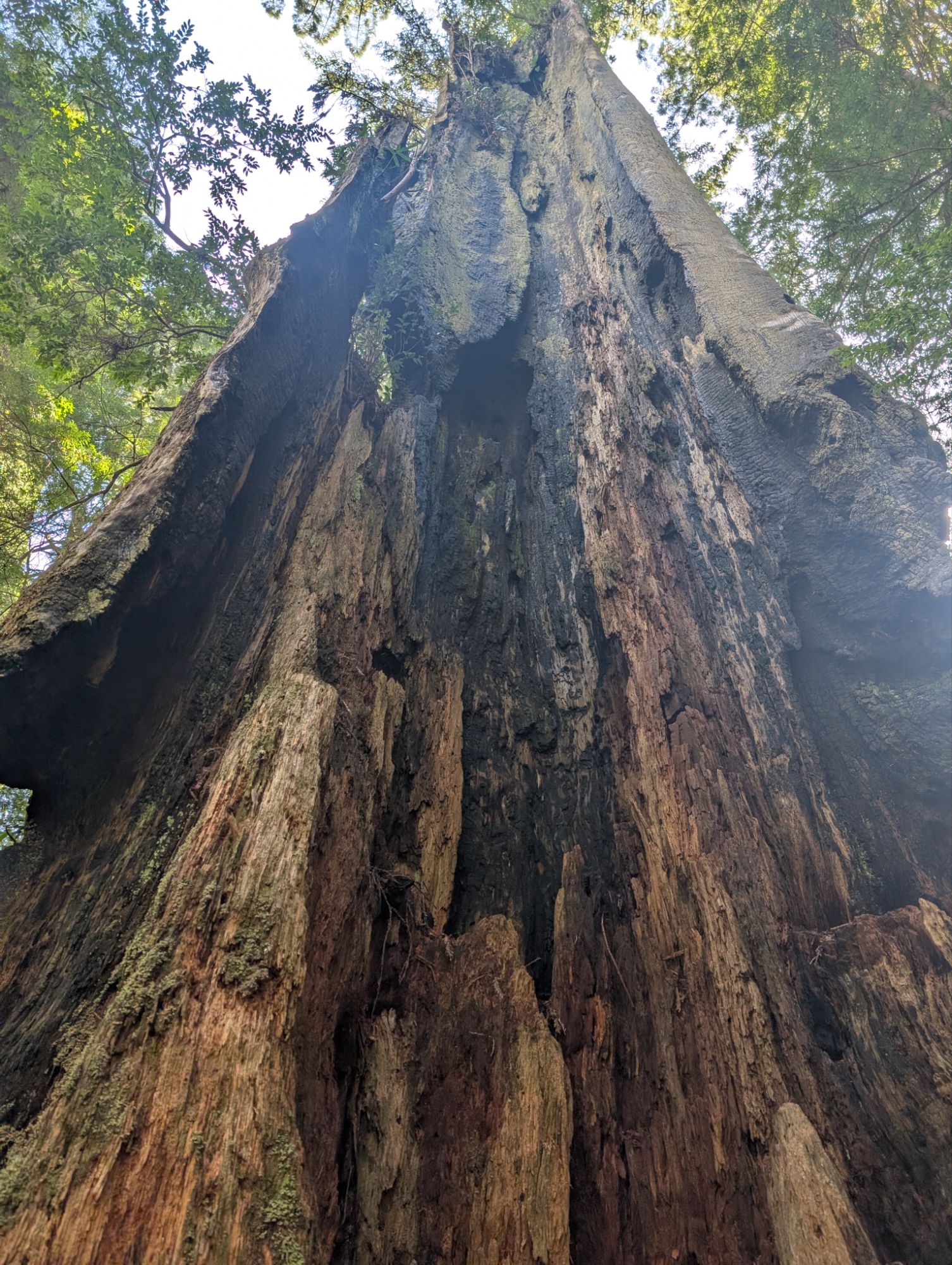
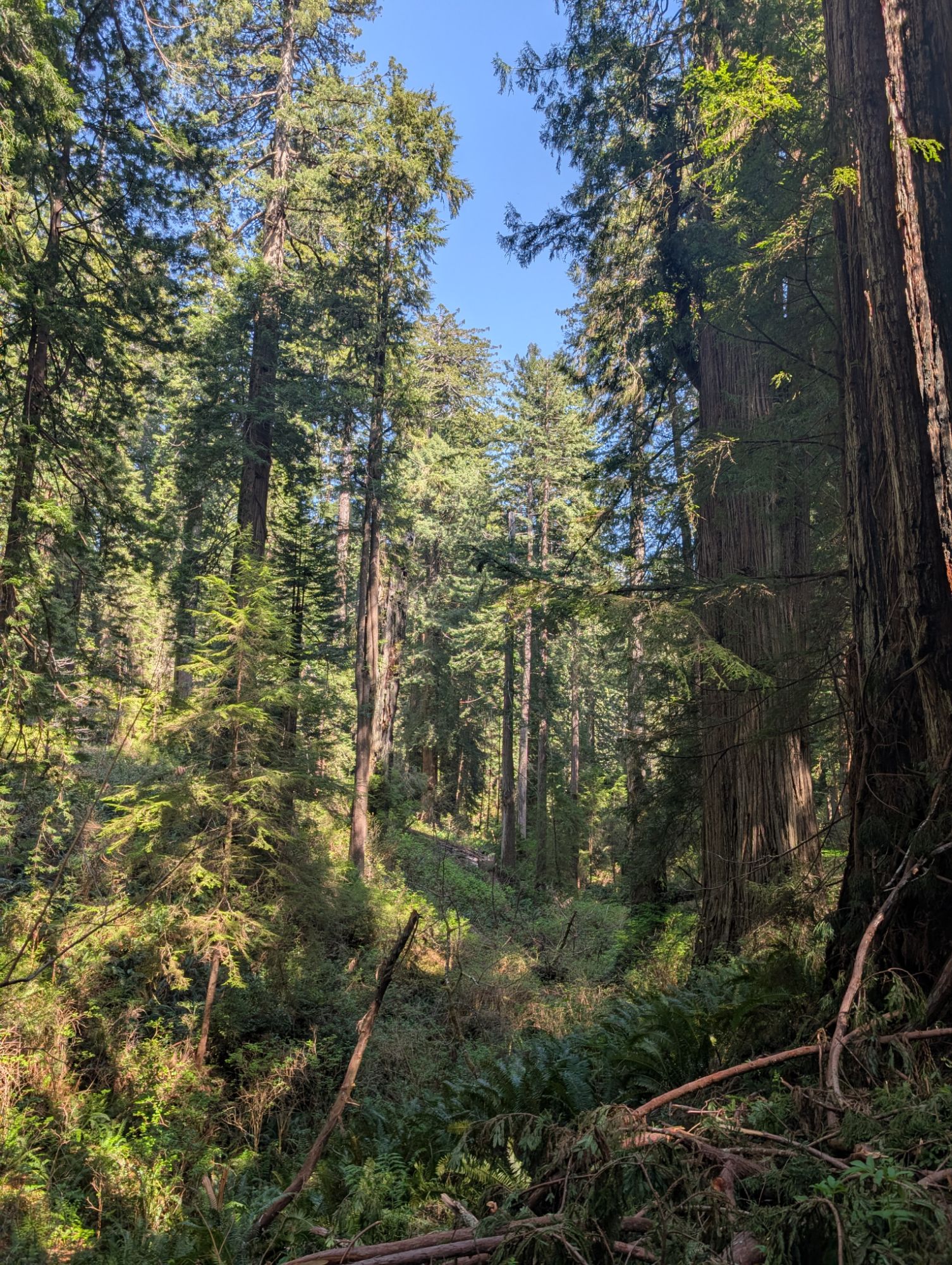
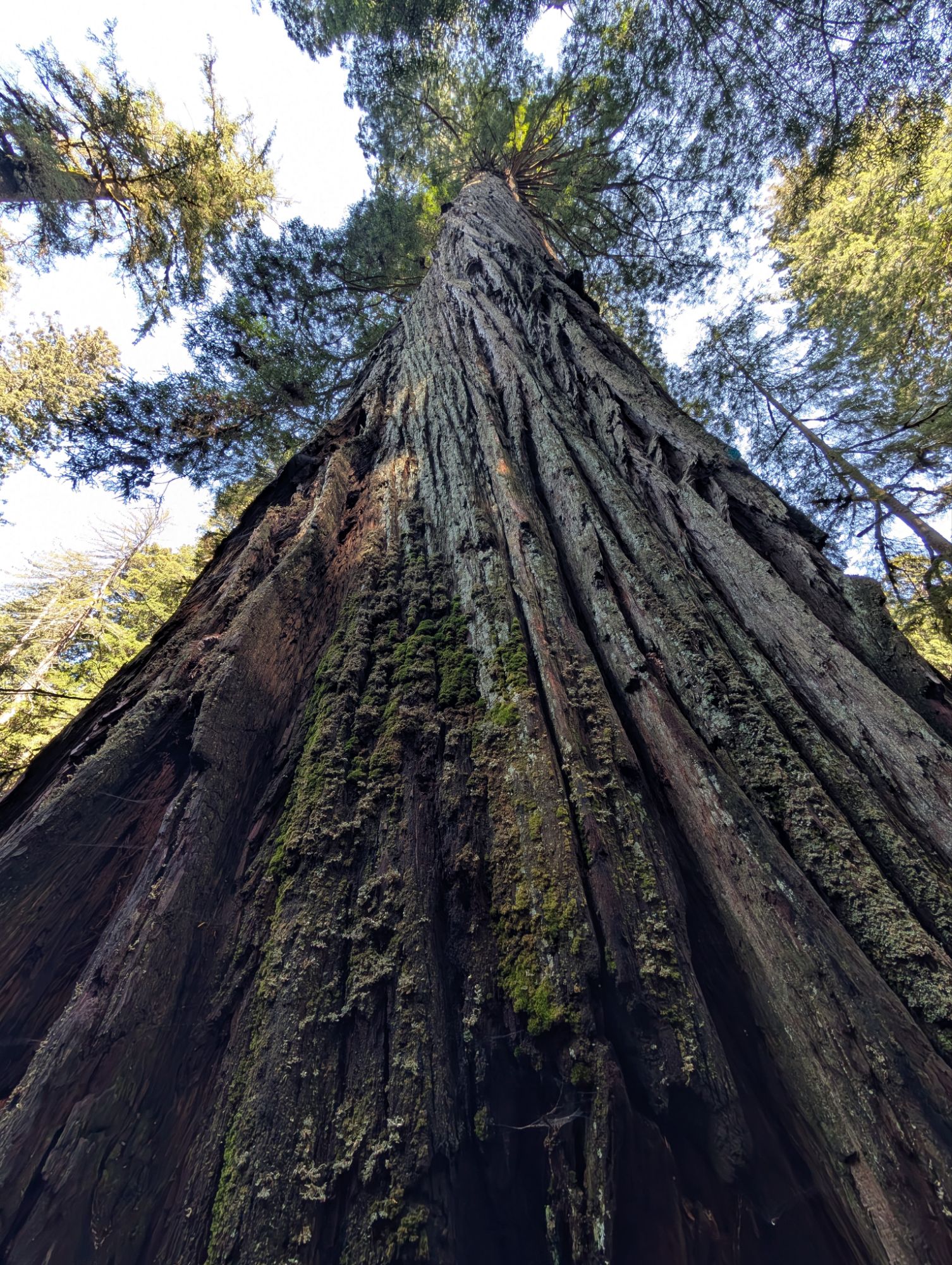
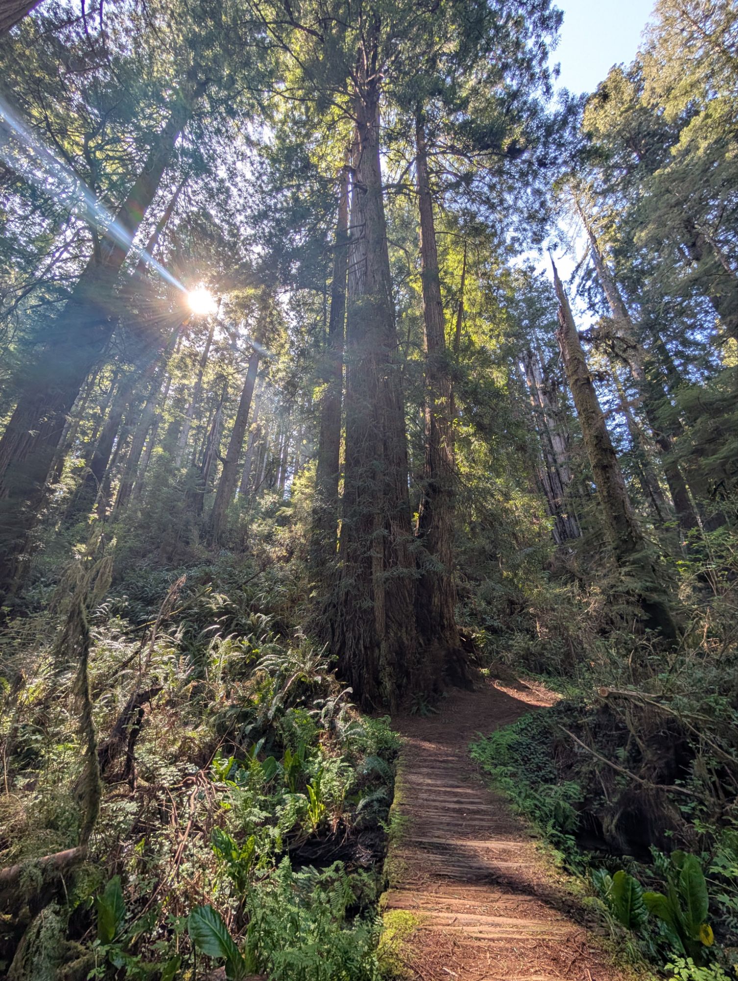
It’s noon as I start to hike through large old growth redwoods. The trail climbs gradually to a ridge before starting the 1.5 mile descent to the Pacific. The redwoods give way to sitka spruce and red alders.


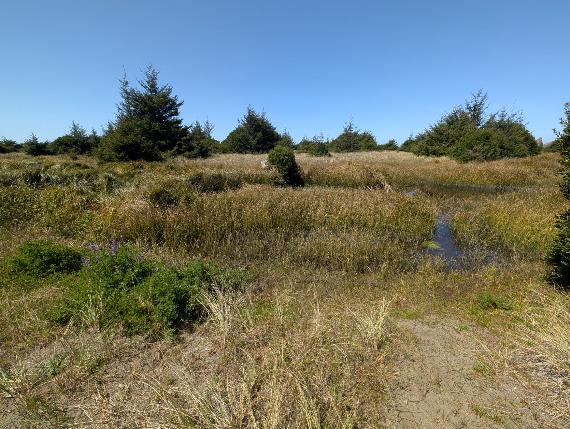
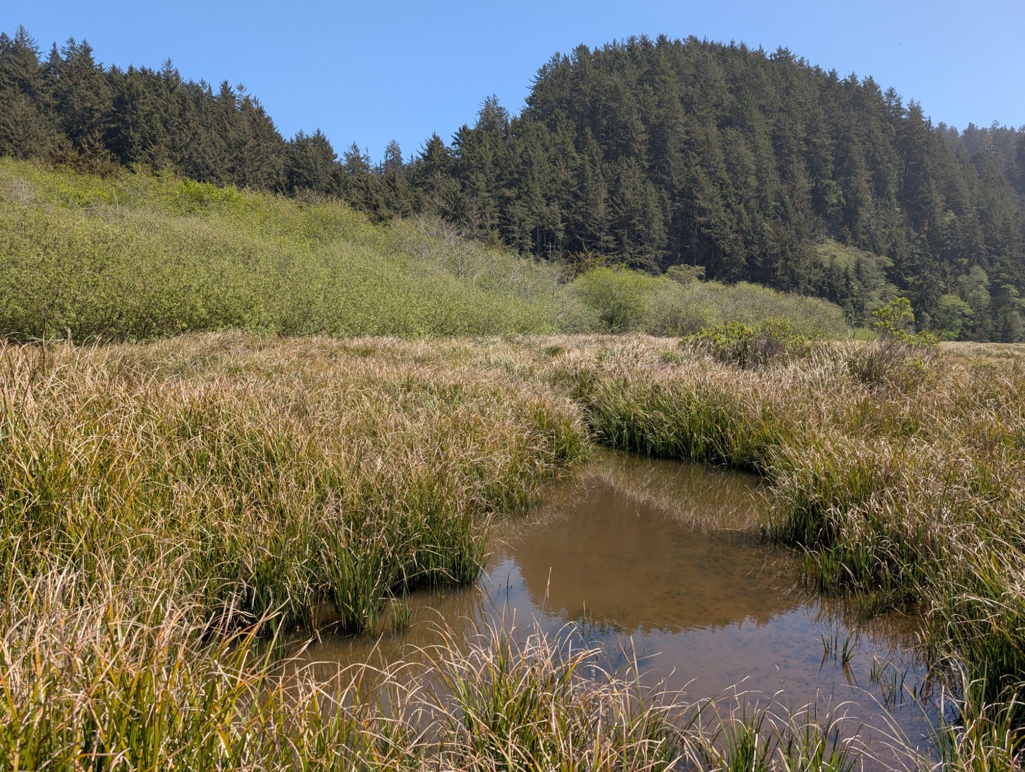
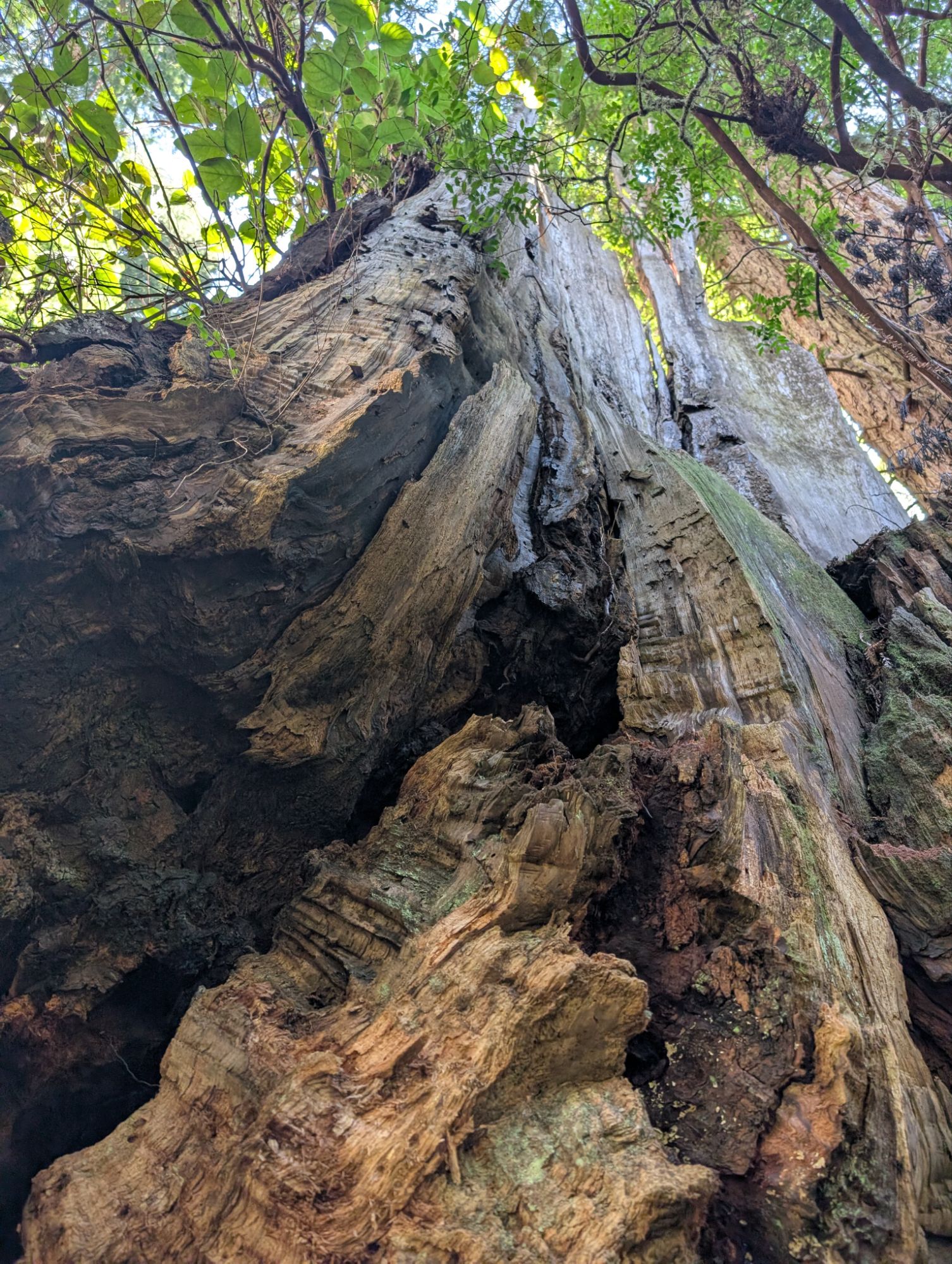
Near the bottom there’s actually a tsunami hazard sign, which is the first one I’ve ever seen on any trail that approaches the ocean. There are several large sitkas to climb through before emerging into the boggy bottoms. The audible Ossagon Creek flows down and to the South.


The path to the ocean is filled with water and people have laid out some boards to assist with crossing the void. The crossing is not too tough if you have trekking poles.
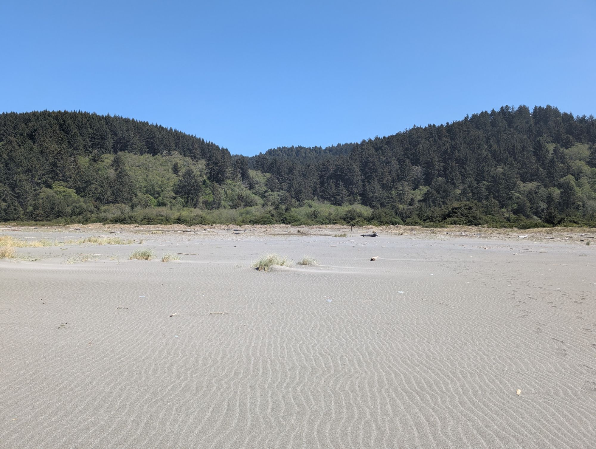
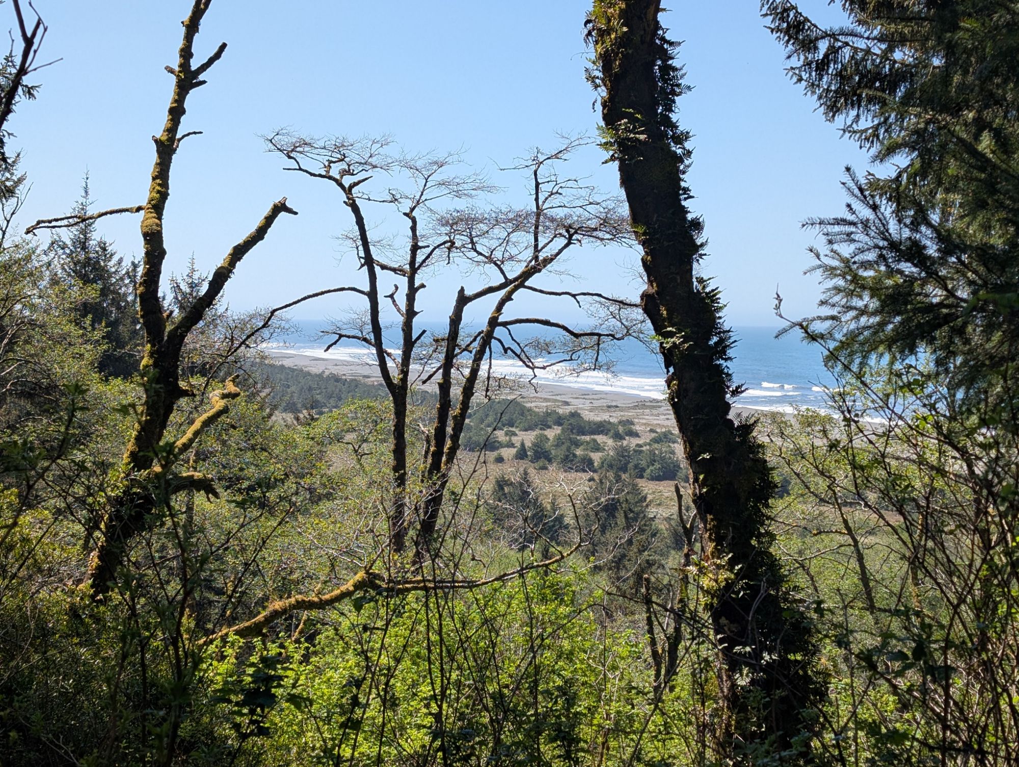
I tread out to the ocean, taking in all the views. Even the one looking back to where I have just come from. The Ossagon Rocks are on full display but the mist is starting to gather in the air.
It is my plan to hike south on the Coastal Trail and connect to the end of the West Ridge Trail. I’ll hike West Ridge to Friendship Ridge, down through Fern Canyon and then the Coastal Trail back to Ossagon. This loop should be about 12 miles. On my way out to the ocean I didn’t notice any obvious trail heading south so I go back in pursuit.


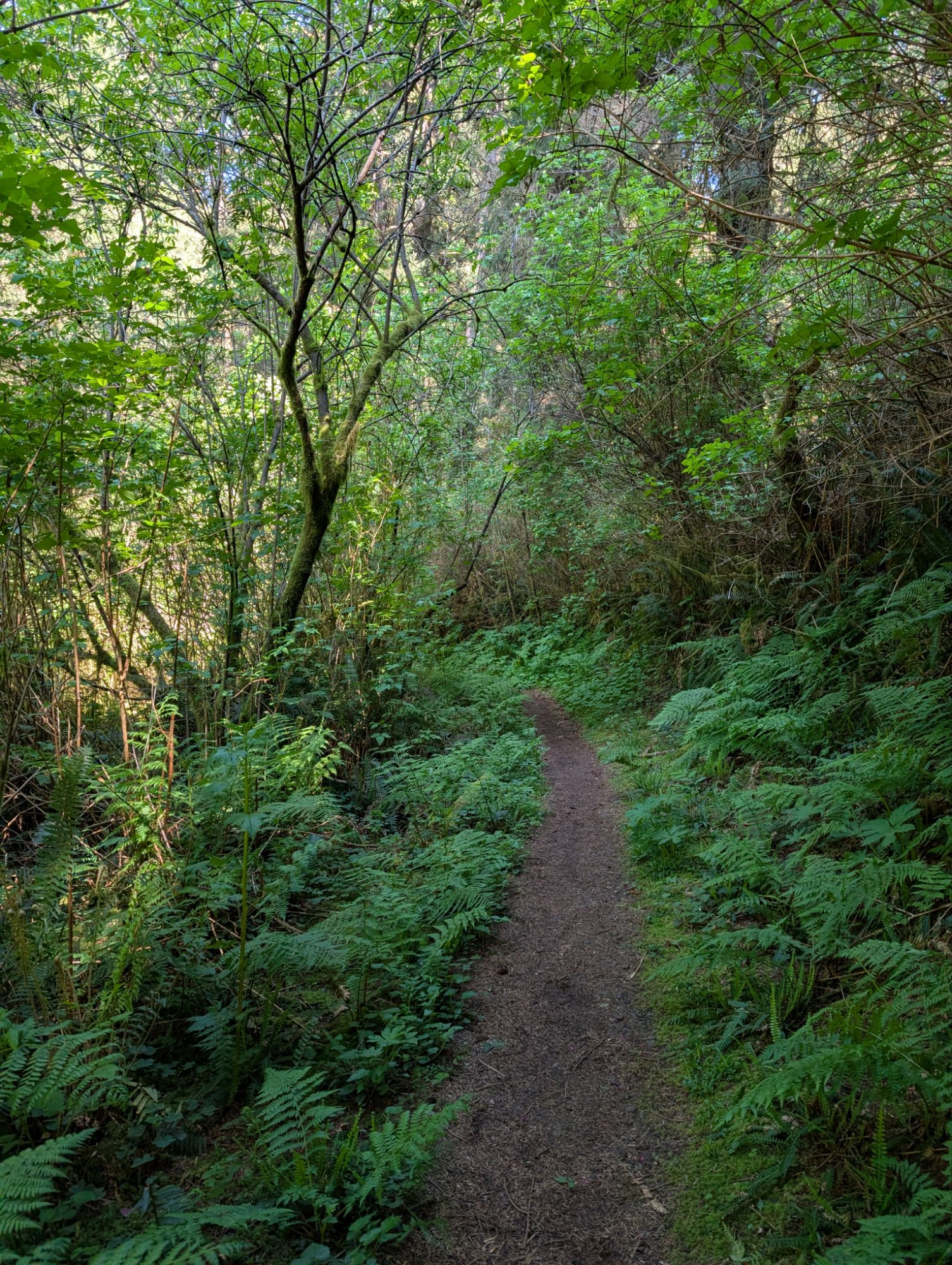
I wonder if I missed a junction back where I saw a trail sign so I cross back through the bog and look around. Nope, nothing here but Ossagon Creek and a wall of trees. I go back and cross the bog yet again. This time I notice a faint tread to the south. I find a bicycle track and elk tracks so that’s good enough for me. I’m feeling hopeful as I weave through the dry grass and trees.


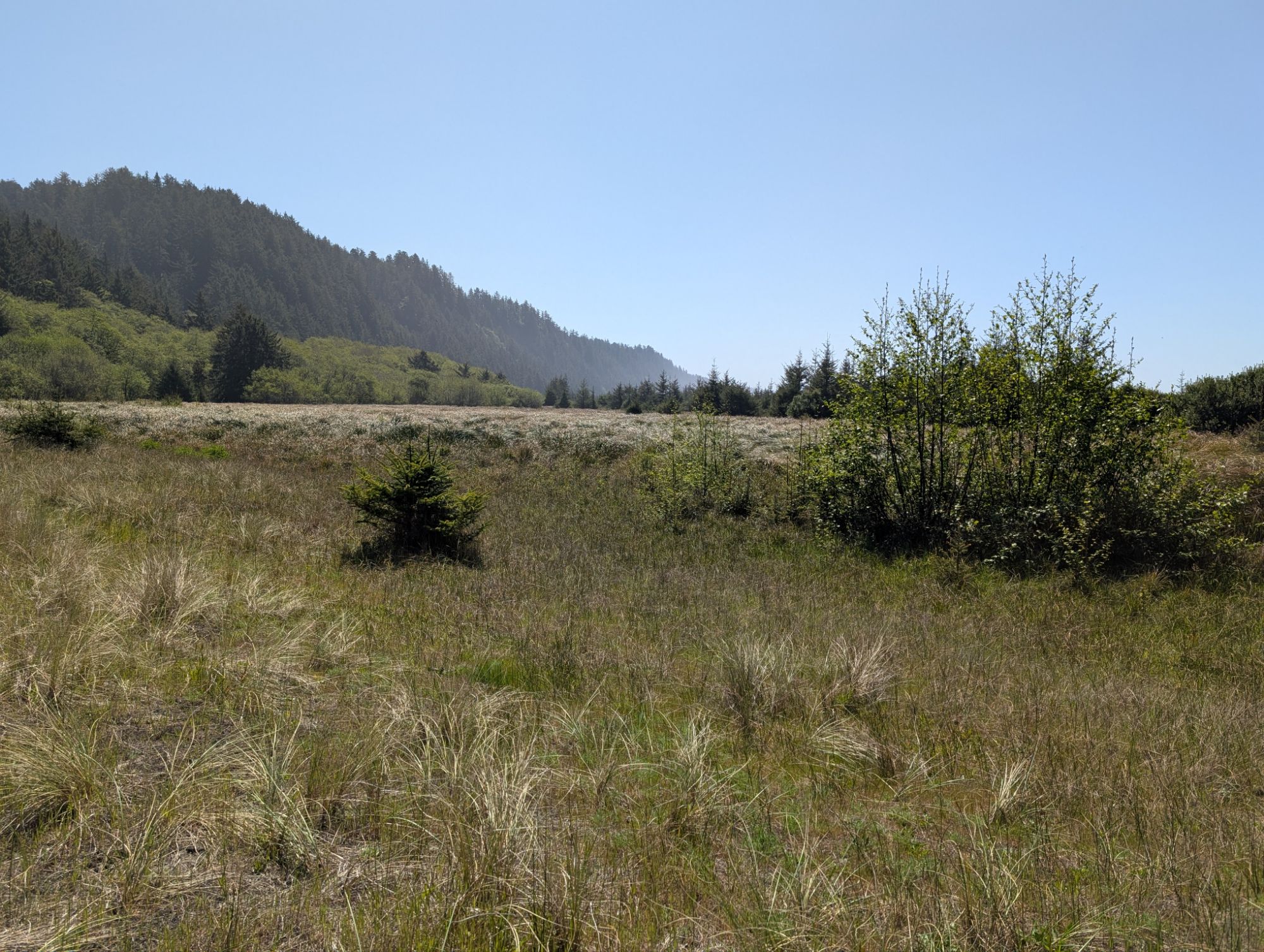
The trail peters out as I reach the edge of the bog. I see some elk butts off in the distance. I search around and then follow some elk tracks that head out to the ocean. I wonder why they come all the way out here. It’s about 1:45 pm and I find a sandy ledge to sit on for a short break. The beach seems to stretch on forever in either direction. I take off my hat and get some sun on my face. Well, if I can’t connect to the West Ridge Trail this is going to be a much shorter hike. I could hike to the South or I could hike to the North but maybe that’s a plan for another day. I turn off airplane mode and find that there’s cell service out here at the ocean’s edge.


I shoulder my pack once again and head back to the bog. I try all possible options but there is no getting across to the Butler Creek drainage where I need to connect to the West Ridge Trail. Am I missing some magical bridge? Oh California Coastal Trail where are you? I learned my lesson about bogs in January and wouldn’t want to end up deep in a watery hole. So close, and yet so far.
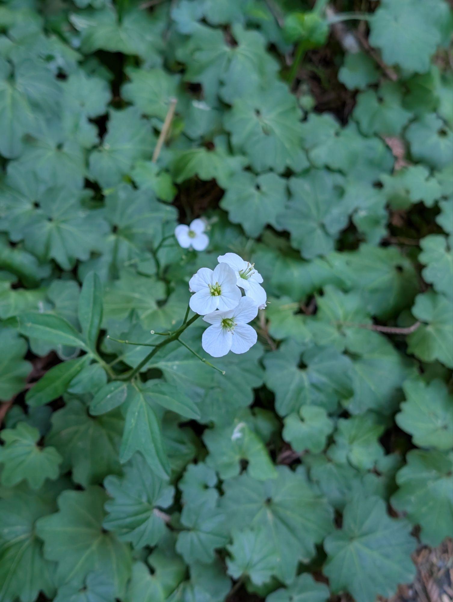
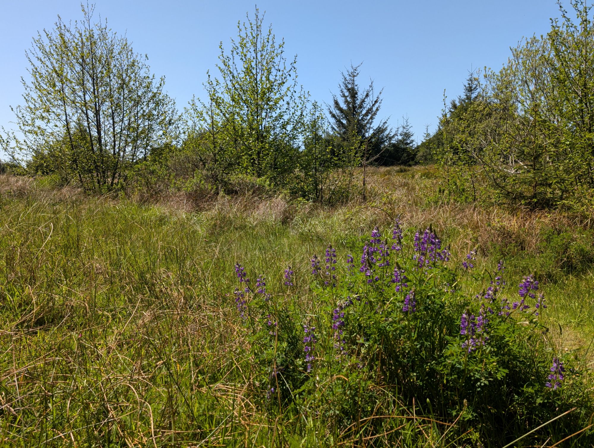
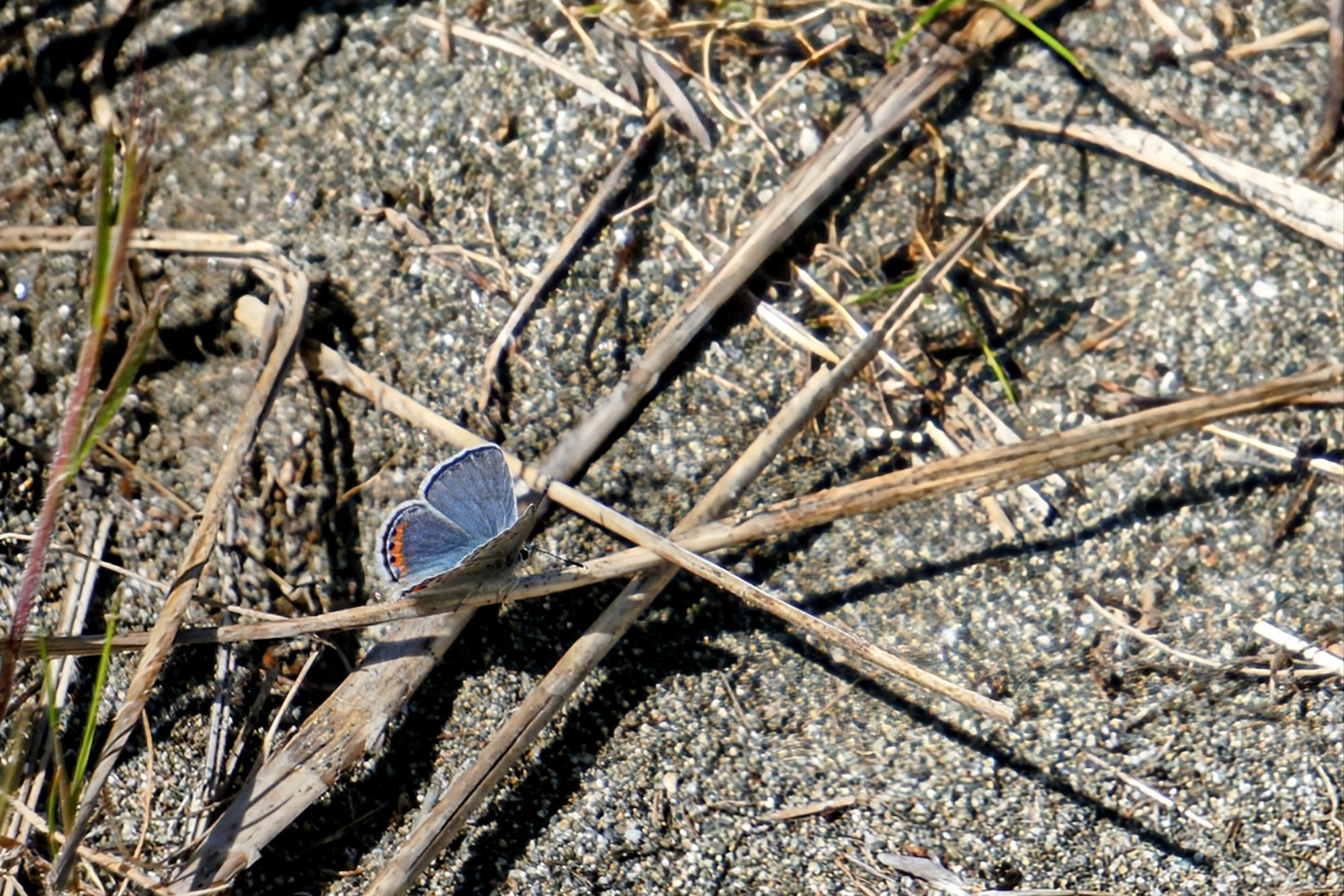
I weave around a bit but eventually find the faint tread that heads back to the Ossagon Trail. A Lupine blue sneaks past and lands on the trail in front of me.
Back at the Ossagon Trail junction, there’s a bird that I can hear but not see. It’s hanging out in the elk sedge grasses and flits around quickly. Merlin tells me that it’s a Marsh Wren. I can also hear a White-crowned Sparrow. While I’m standing here I check my phone and find that I have a message for work tomorrow. That makes a shorter hiking day more attractive since I can get home earlier to prepare.

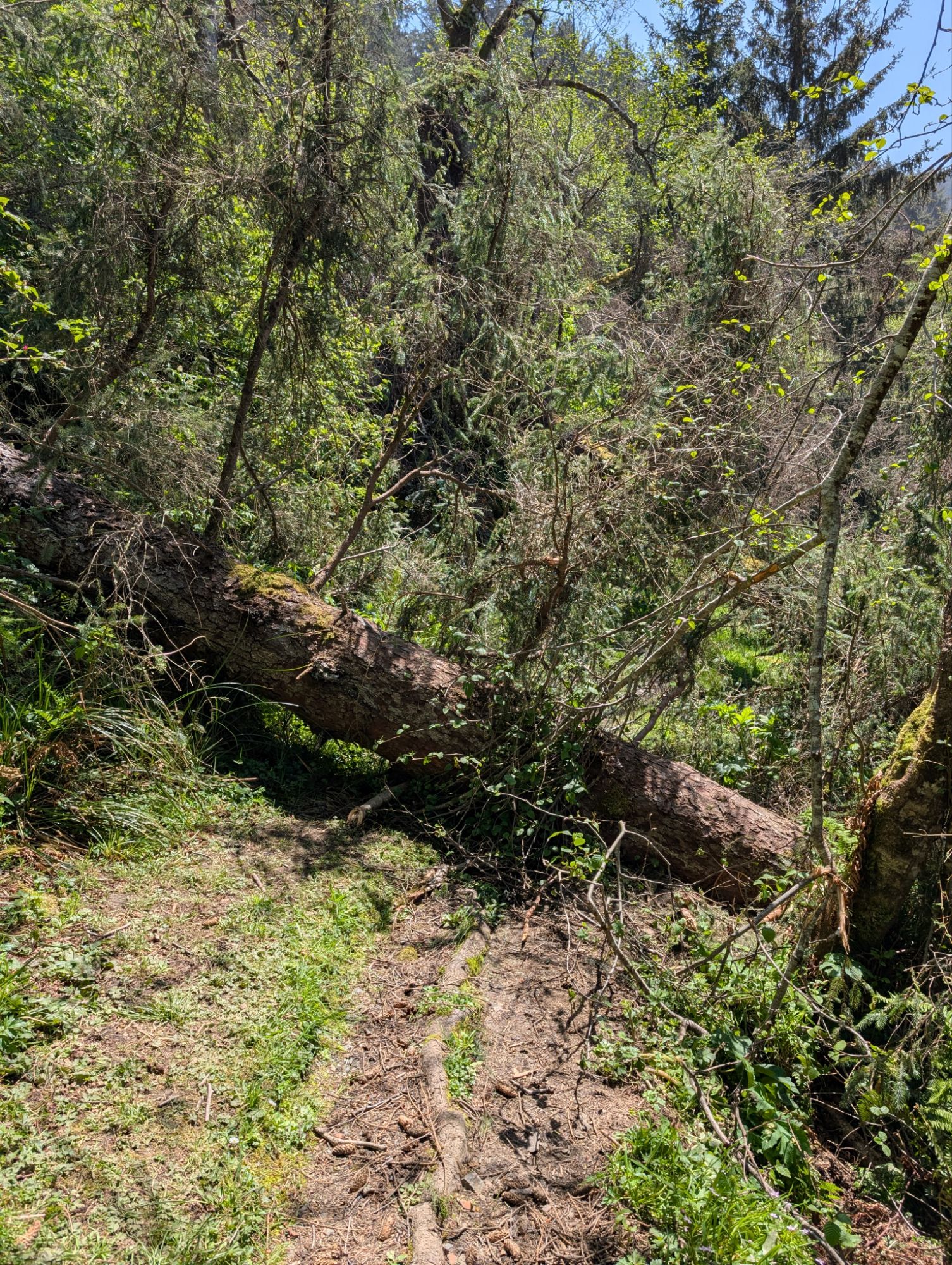
There’s a group of five hikers that pass me while I’m on my phone. I come up on the bog crossing and have to wait for them as they maneuver without poles. I try to go slow but then I have to wait for them all to get through the downed trees. I catch up with them again at a section of the trail that’s an absolute mud pit. One of them heads through while another signals for me to pass them. They’re standing on the best path but I jump into the mud and push through.
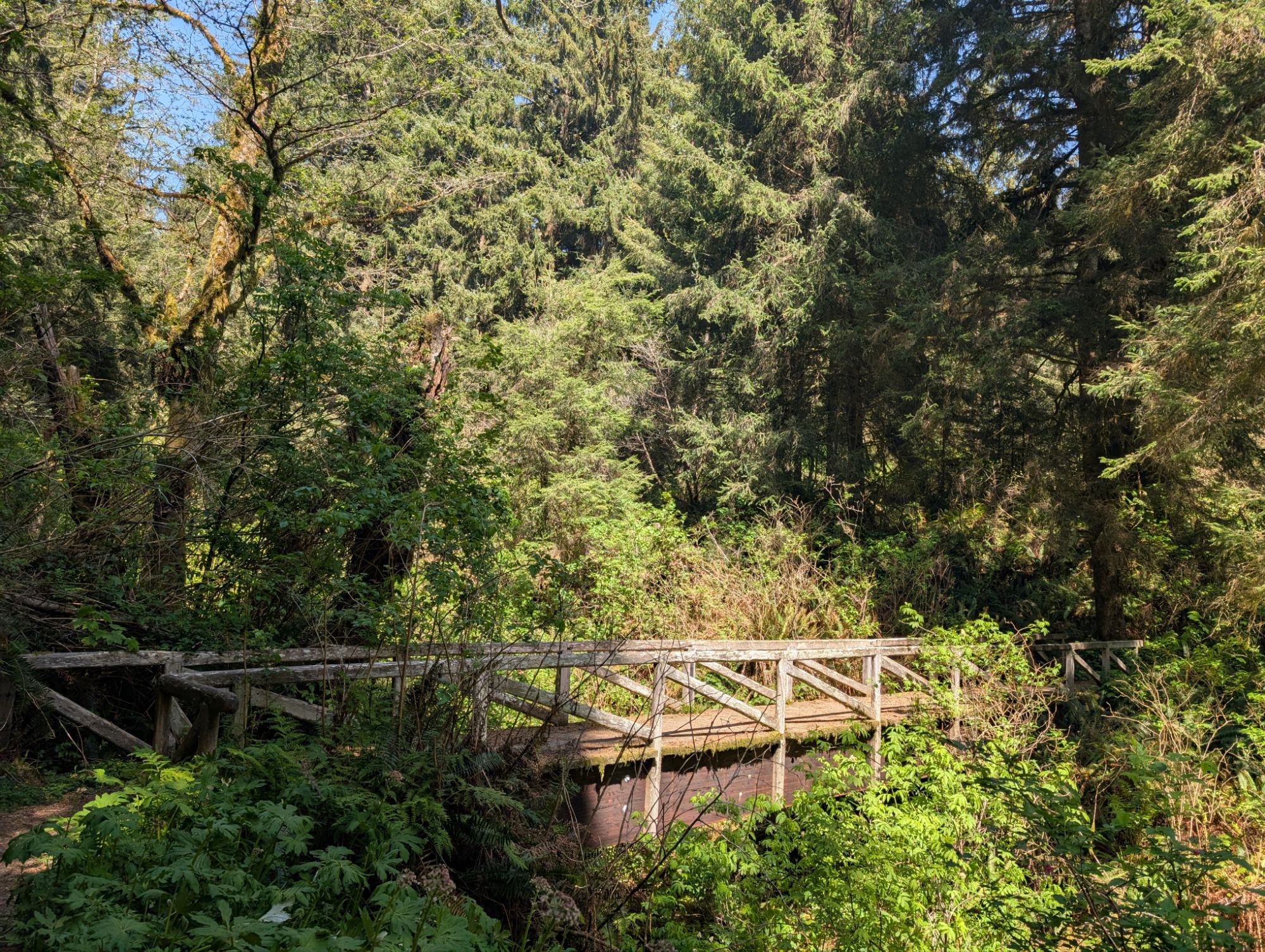

It’s a pretty good climb and I push the tempo. I stop in the middle of this long bridge and look up the creek. Even though you can hear the water you can’t even see it because the creek channel is chock full of brush.
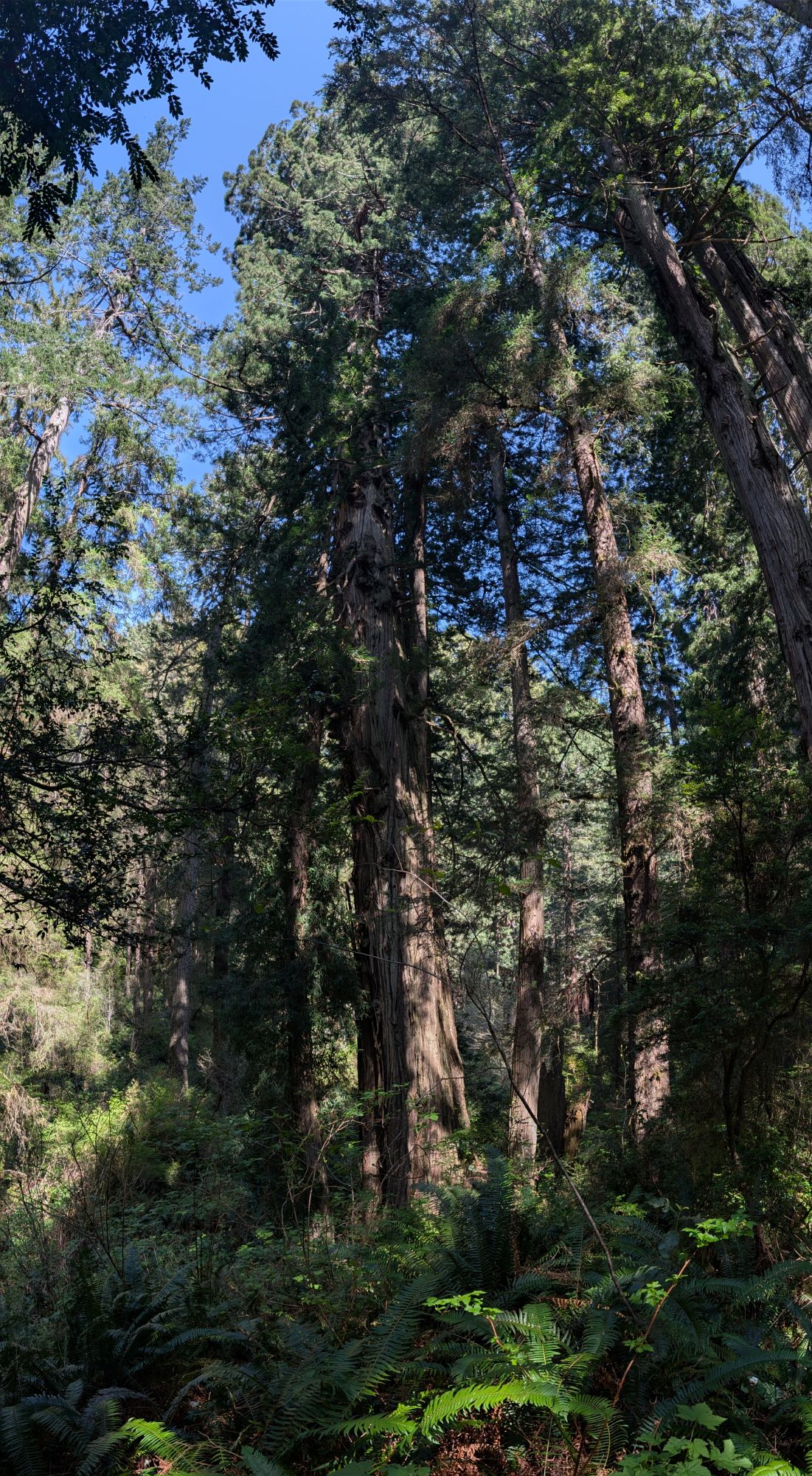
The top of this trail has some really lovely old redwoods.


It’s almost 3:30 pm when I arrive back at my truck. I decide that I’ll go check out the short Ah – Pah Interpretive Trail and then head home.


One thought on “Ossagon “O-sey-gen” Trail and the Coastal Trail Bog Blockade”
Comments are closed.